Elevation of San Timoteo Canyon Rd, Redlands, CA, USA
Location: United States > California > San Bernardino County > Redlands >
Longitude: -117.16228
Latitude: 33.994819
Elevation: 510m / 1673feet
Barometric Pressure: 95KPa
Elevation Map:
Satellite Map:
Related Photos:

Under My Wheels

Common Raven - Kolkrabe
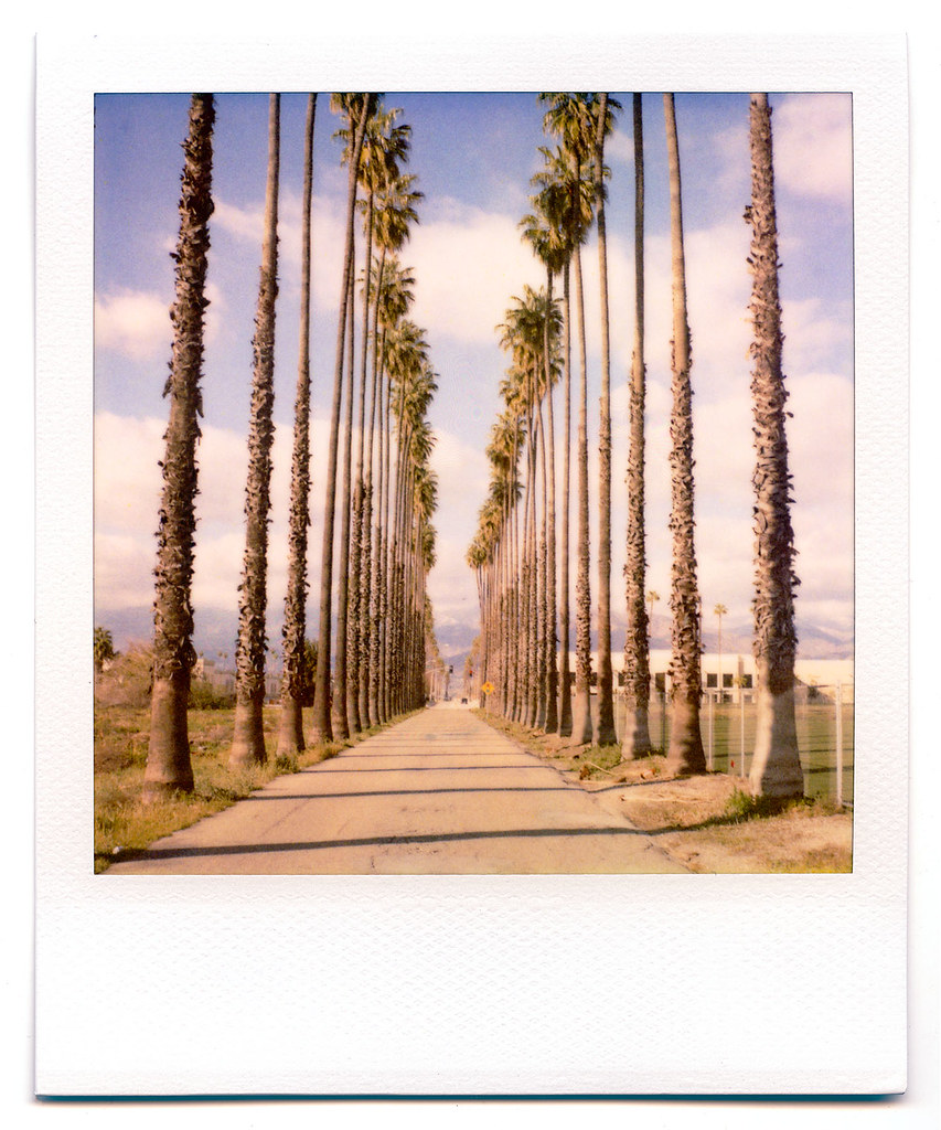
palm trees. north redlands, ca. 2011.
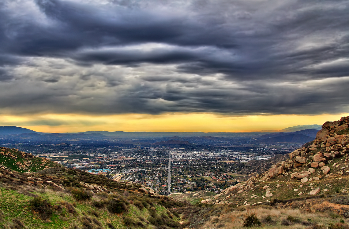
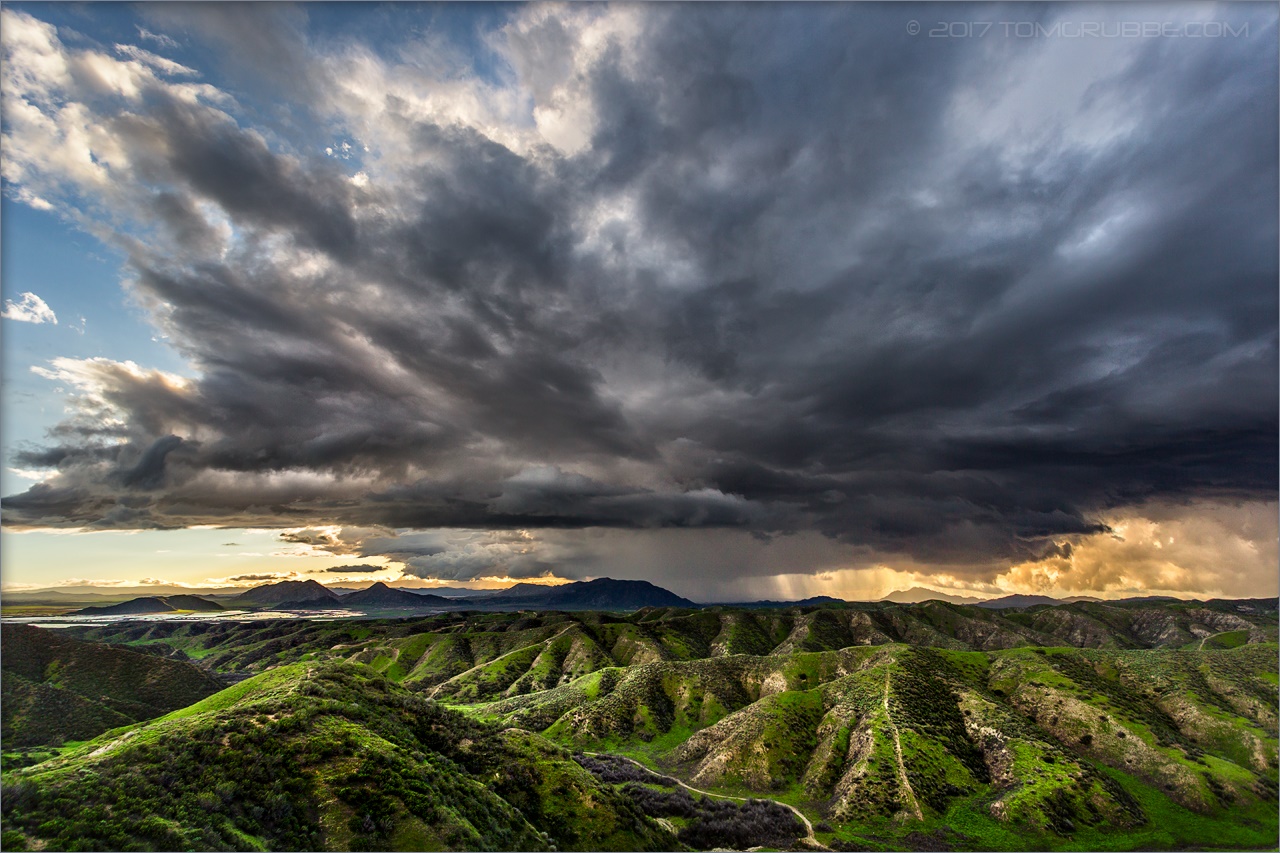
Storm over the Inland Empire

Red-tail 9070

San Bernardino Dec. 1987 - Instagram view

Killdeer 2618

Riverside view
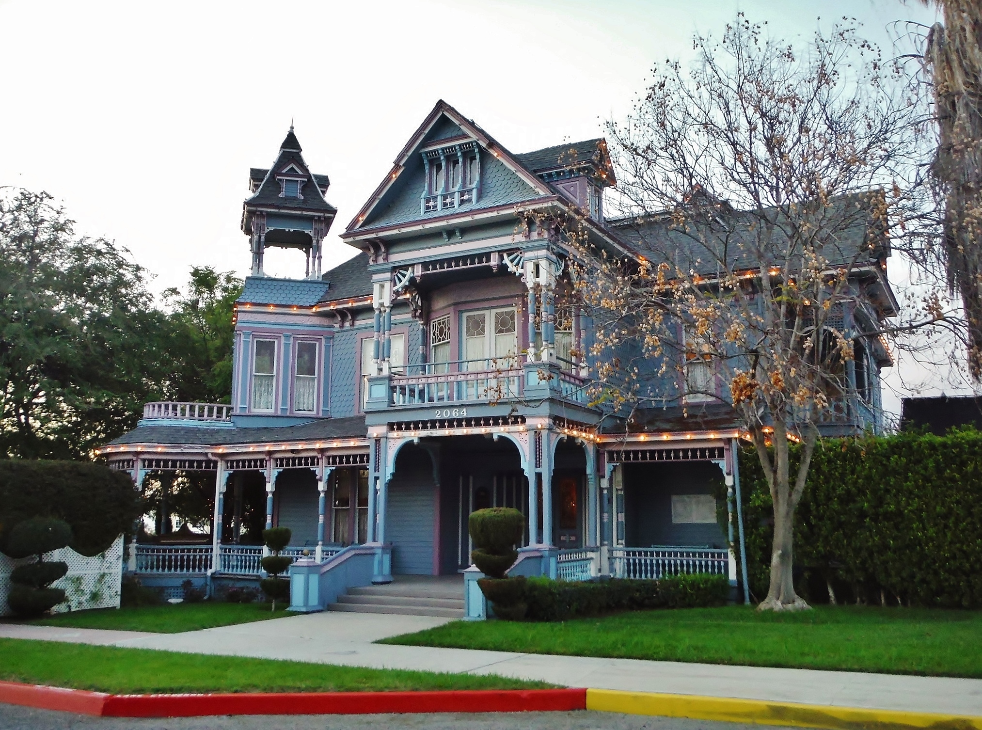
Redlands, CA

Lake Perris, Surrounded by Hills and Mountains
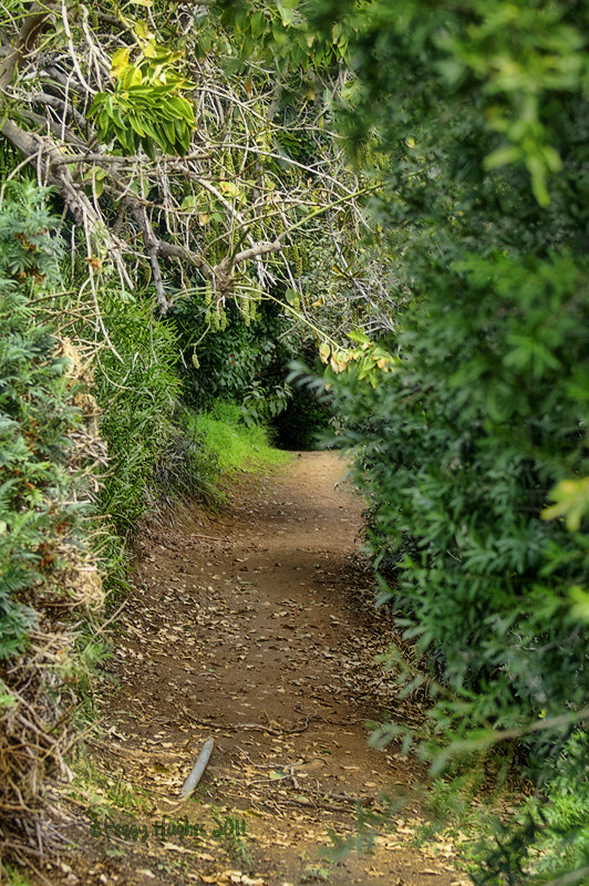
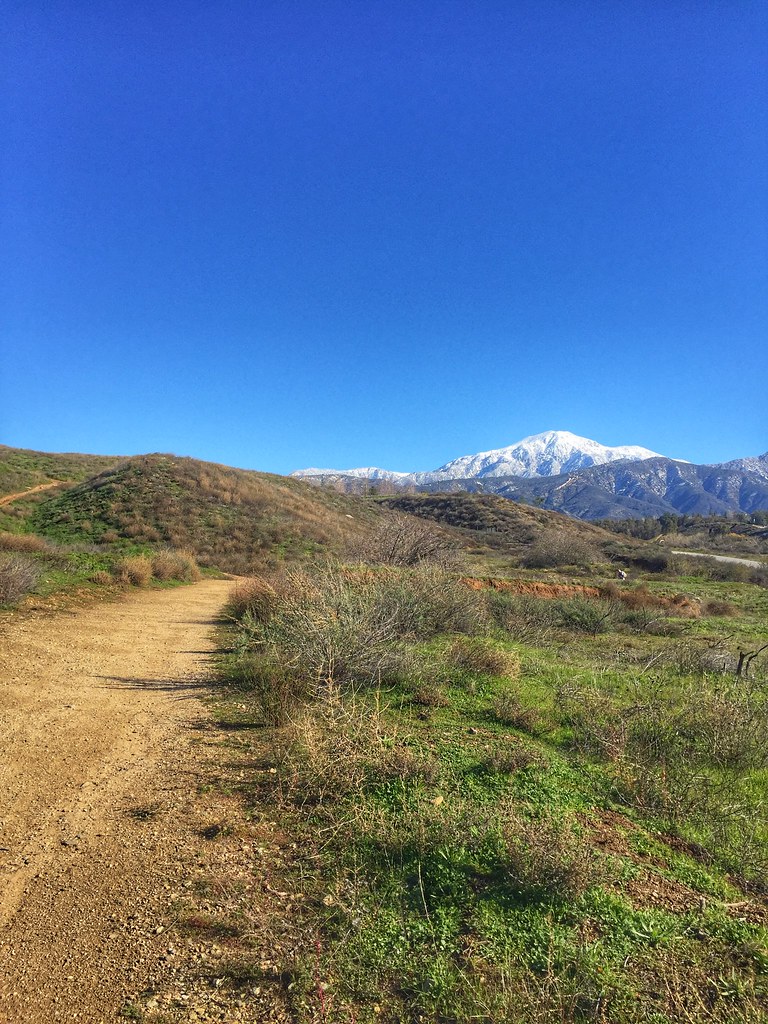
the path

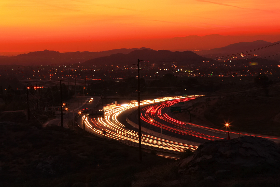
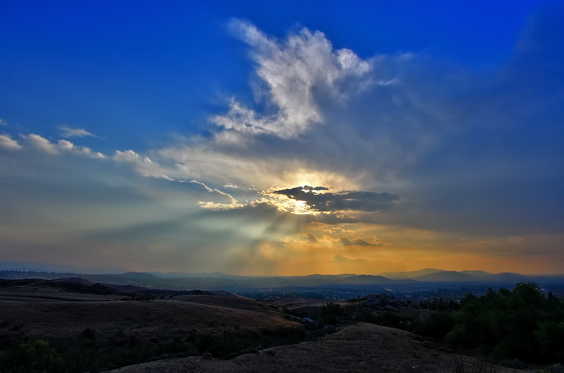
My City before Sunrise

Daylillies (2) 7-7-12

Sunset Valley I

53-0363 KC-97L

Metrolink in the Mountains

mountain view

Spring Valley

another view...
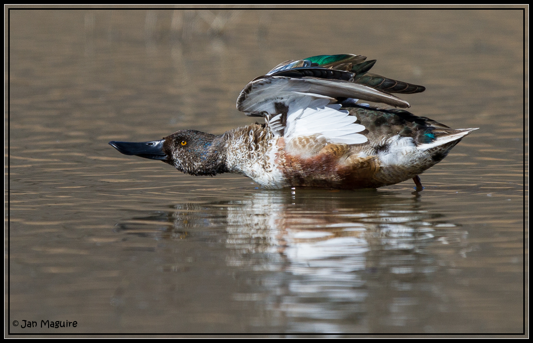
Northern Shoveler 4767

Day 347/365: I know I'm going where the sun always shines (explored #328 on June 8, 2009)
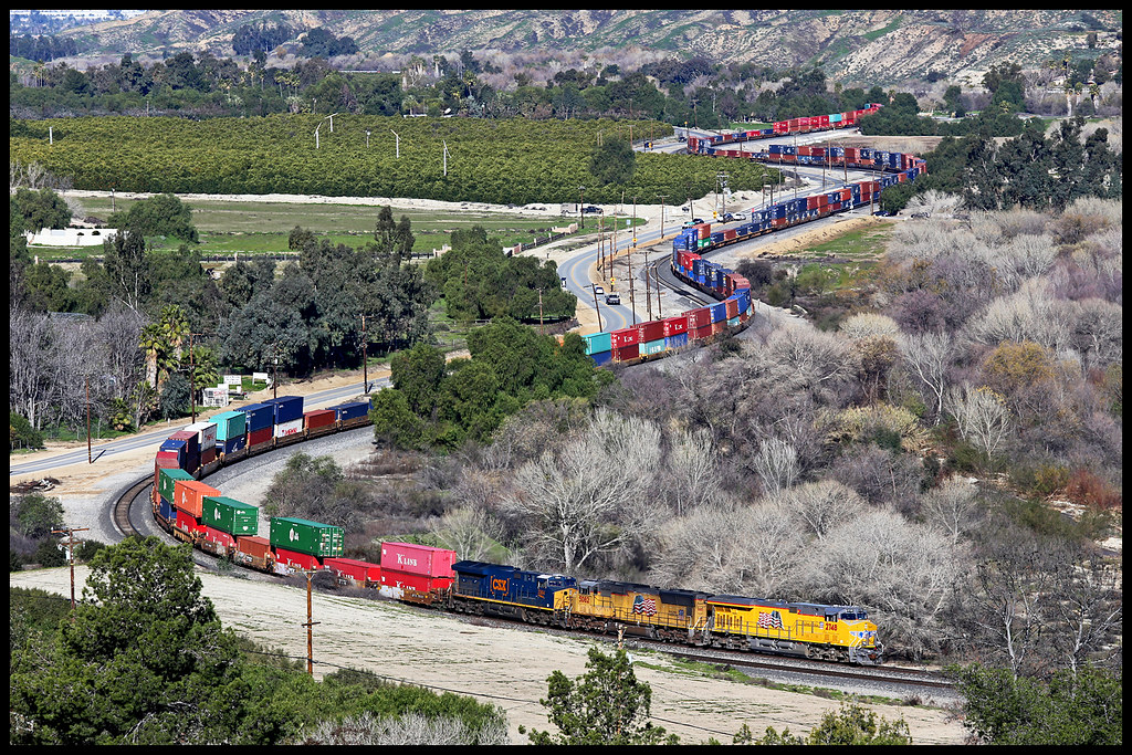
UP 2748

Snaking Up Beaumont

Sunset at Sycamore Highlands Park
Let's Go Home
Jack Rabbit Storm

Lumonitious Landscape

Palms, Oranges and San Gabriel Mountains, CA Christmas 2016

New Season
Crafton Hills hiking trails.

Earth and Grass

Underworld II

Fireside, the Burning

Lush Hills

Mount San Gorgonio and March Field
Afternoon Clouds

Beaumont, California

San Gabriel Mountains over Inland Empire, CA 2016 (In EXPLORE)

The Lunar Eclipse over Sycamore Highlands Park

Fire under a Full Moon
Topographic Map of San Timoteo Canyon Rd, Redlands, CA, USA
Find elevation by address:

Places near San Timoteo Canyon Rd, Redlands, CA, USA:
San Timoteo Canyon Road
Live Oak Canyon
2012 Horse Trail Dr
29999 Live Oak Canyon Rd
100 Edgemont Dr
1891 Rossmont Dr
1690 Garden St
Sunset Drive
1655 Halsey St
418 Jordan Dr
13520 San Timoteo Canyon Rd
Redlands Blvd, Moreno Valley, CA, USA
1356 La Loma Dr
1408 Elizabeth Crest Dr
11378 Ladd Ave
Pacific Street
East Sunset Drive North
30842 Miradero Dr
708 E Sunset Dr N
1316 Knoll Rd
Recent Searches:
- Elevation of Bella Terra Blvd, Estero, FL, USA
- Elevation of Estates Loop, Priest River, ID, USA
- Elevation of Woodland Oak Pl, Thousand Oaks, CA, USA
- Elevation of Brownsdale Rd, Renfrew, PA, USA
- Elevation of Corcoran Ln, Suffolk, VA, USA
- Elevation of Mamala II, Sariaya, Quezon, Philippines
- Elevation of Sarangdanda, Nepal
- Elevation of 7 Waterfall Way, Tomball, TX, USA
- Elevation of SW 57th Ave, Portland, OR, USA
- Elevation of Crocker Dr, Vacaville, CA, USA