Elevation of Edgemont Dr, Redlands, CA, USA
Location: United States > California > San Bernardino County > Redlands > Live Oak Canyon >
Longitude: -117.15007
Latitude: 34.0189345
Elevation: 639m / 2096feet
Barometric Pressure: 94KPa
Elevation Map:
Satellite Map:
Related Photos:

Common Raven - Kolkrabe

Metrolink in the Mountains

Spring Valley
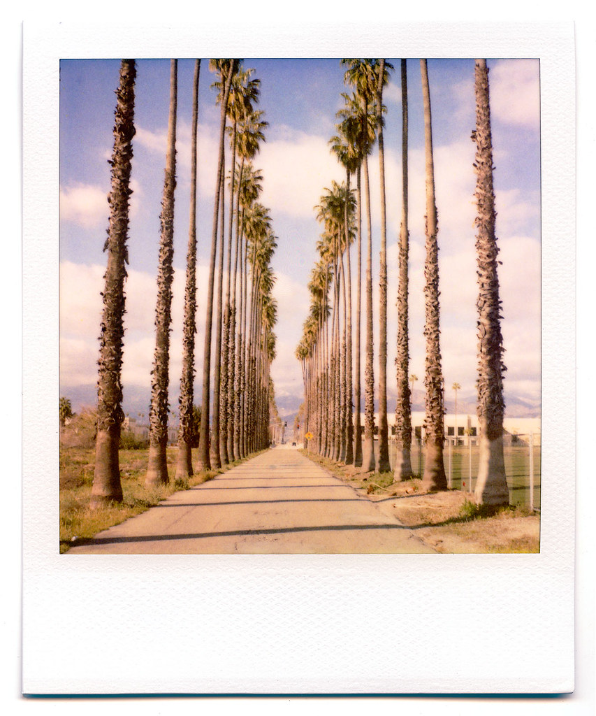
palm trees. north redlands, ca. 2011.

Day 347/365: I know I'm going where the sun always shines (explored #328 on June 8, 2009)
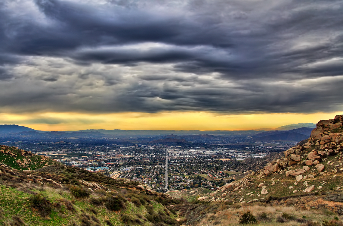
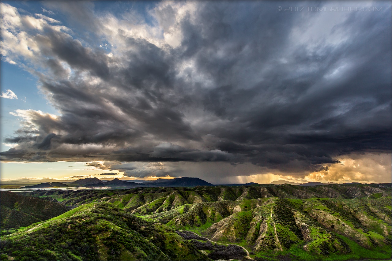
Storm over the Inland Empire

prcssd. combat camera. san bernardino, ca. 2011.

San Bernardino Dec. 1987 - Instagram view

Southern California
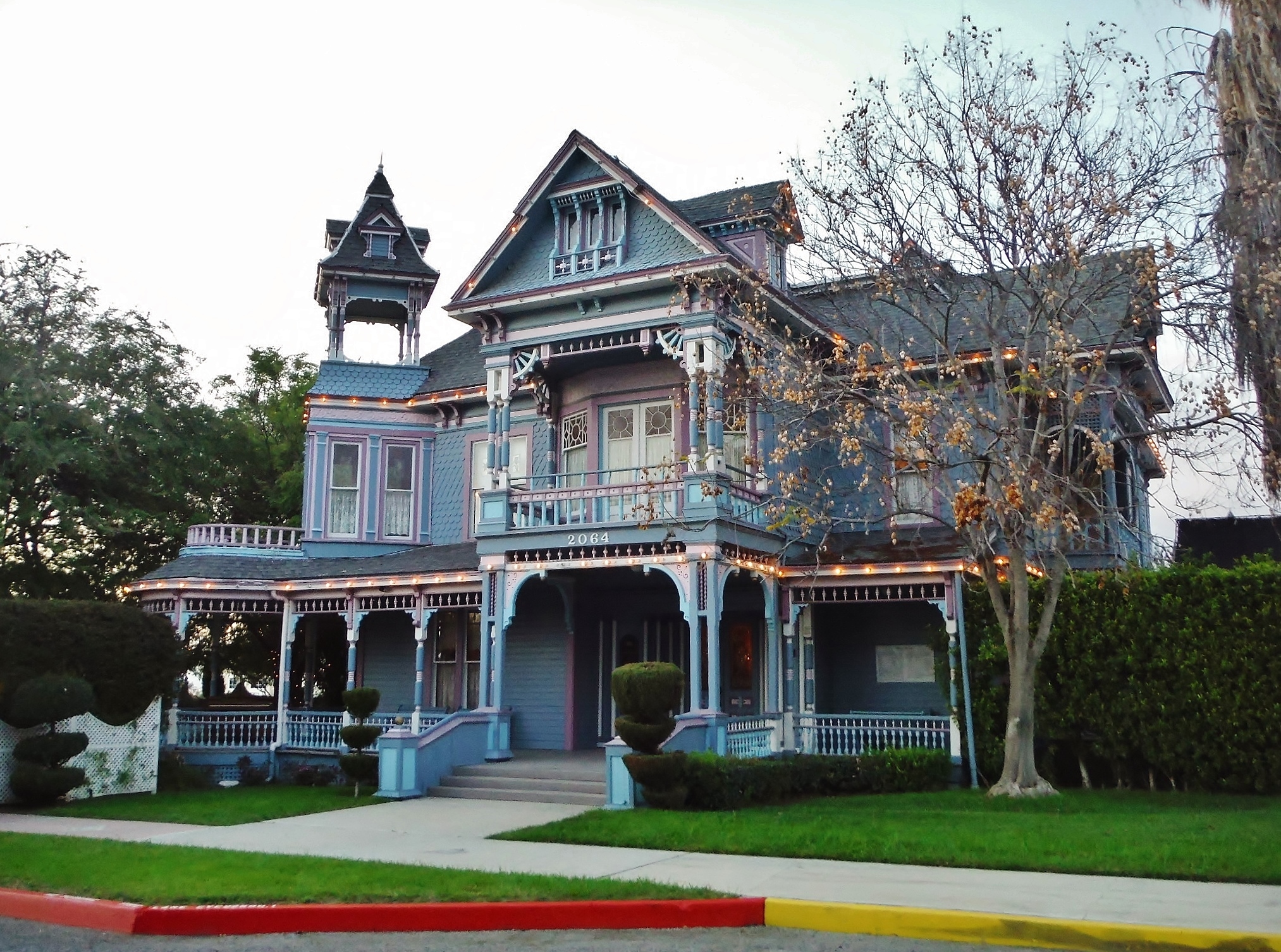
Redlands, CA

ATK 714E @ El Casco

Not Too Shabby

Valley View II

Lake Perris, Surrounded by Hills and Mountains

The Storms of Late Summer
the view from here [7:52]

Swim Lane

Tree House House on Cypress, Redlands 3-2012

Punmpkin Hunting 10-26-13

Sunset Valley I

San Bernardino Valley
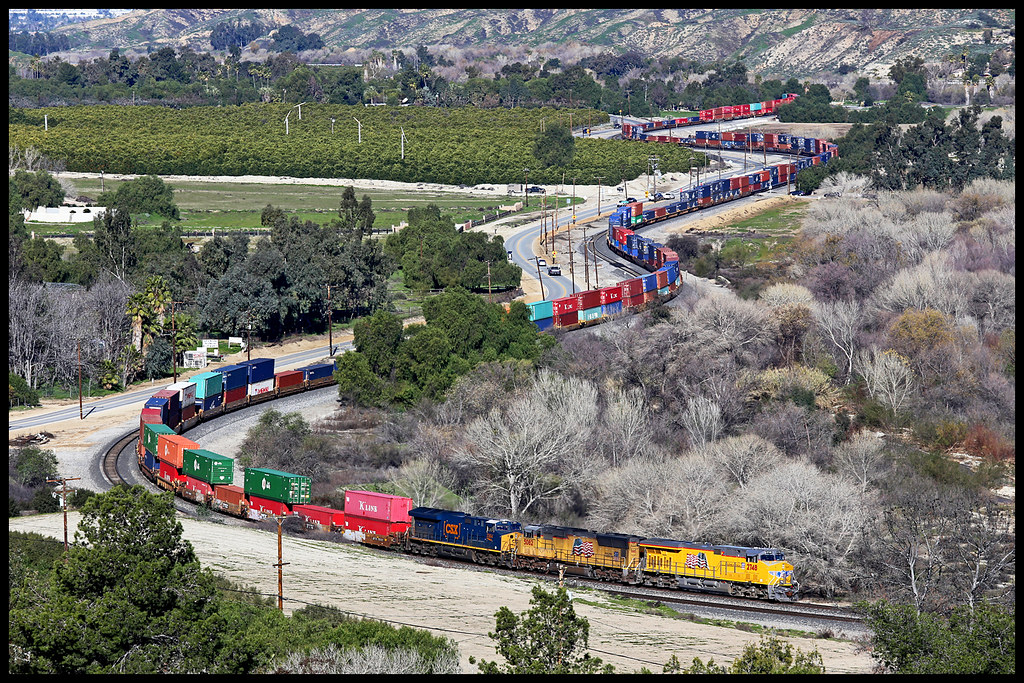
UP 2748

Mill Creek Canyon

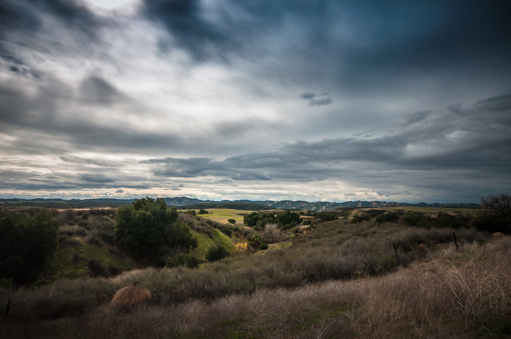
Lush Hills

Snaking Up Beaumont

Beaumont, California

San Gabriel Mountains over Inland Empire, CA 2016 (In EXPLORE)

Storm Tree

Rocky Slopes

Jack Rabbit Trail Road

"Sage" Sparrow
Jack Rabbit Storm

Lumonitious Landscape

UP 7492

Box Springs

Spring Trail II

Twilight Pond

Least Tern

Clouds over Box Springs Mountain

Clouds over the San Bernardino Valley

New Season
Topographic Map of Edgemont Dr, Redlands, CA, USA
Find elevation by address:

Places near Edgemont Dr, Redlands, CA, USA:
1891 Rossmont Dr
1690 Garden St
418 Jordan Dr
1655 Halsey St
East Sunset Drive North
708 E Sunset Dr N
Live Oak Canyon
30842 Miradero Dr
820 Panorama Point Dr
29999 Live Oak Canyon Rd
Sunset Drive
661 Fox Ct
2012 Horse Trail Dr
951 Wabash Ave
31052 E Sunset Dr N
1408 Elizabeth Crest Dr
South Redlands
110 Franklin Ave
San Timoteo Canyon Road
28591 San Timoteo Canyon Rd
Recent Searches:
- Elevation of Groblershoop, South Africa
- Elevation of Power Generation Enterprises | Industrial Diesel Generators, Oak Ave, Canyon Country, CA, USA
- Elevation of Chesaw Rd, Oroville, WA, USA
- Elevation of N, Mt Pleasant, UT, USA
- Elevation of 6 Rue Jules Ferry, Beausoleil, France
- Elevation of Sattva Horizon, 4JC6+G9P, Vinayak Nagar, Kattigenahalli, Bengaluru, Karnataka, India
- Elevation of Great Brook Sports, Gold Star Hwy, Groton, CT, USA
- Elevation of 10 Mountain Laurels Dr, Nashua, NH, USA
- Elevation of 16 Gilboa Ln, Nashua, NH, USA
- Elevation of Laurel Rd, Townsend, TN, USA