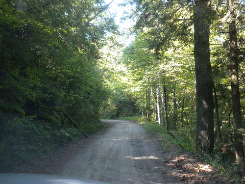
Elevation of Samuel Cross Rd, Oneida, TN, USA

Location: United States > Tennessee > Scott County > Oneida >

Longitude: -84.466561

Latitude: 36.4549056

Elevation: 499m / 1637feet

Barometric Pressure: 95KPa

Elevation Map:

elevation map of Samuel Cross Rd, Oneida, TN, USA

Satellite Map:

Satellite map of Samuel Cross Rd, Oneida, TN, USA

Related Photos:

sky history classic clouds rural vintage photography photo nikon huntsville antique tennessee engineering bluesky pic oldbuildings historic retro photograph americana thesouth hdr easttennessee ruralamerica whiteclouds engineeringasart beautifulsky historicbuilding 2015 smalltownamerica photomatix deepbluesky bracketed skyabove vintagebuilding ruraltennessee scottcounty hdrphotomatix ofandbyengineers ruralview fadingamerica hdrimaging retrobuilding classicbuilding vanishingamerica huntsvilletennessee oldandbeautiful ibeauty historyisallaroundus antiquebuilding hdraddicted allskyandclouds tennesseephotographer d5200 structuresofthesouth southernphotography screamofthephotographer hdrvillage huntsvilletn engineeringisart jlrphotography photographyforgod worldhdr tennesseehdr nikond5200 hdrrighthererightnow engineerswithcameras hdrworlds jlramsaurphotography americanrelics it’saretroworldafterall
Scott County, TN Courthouse - Huntsville, TN
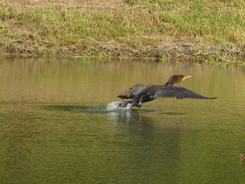
doublecrestedcormorant phalacrocoraxauritus ebird oneidatn
Double Crested Cormorant
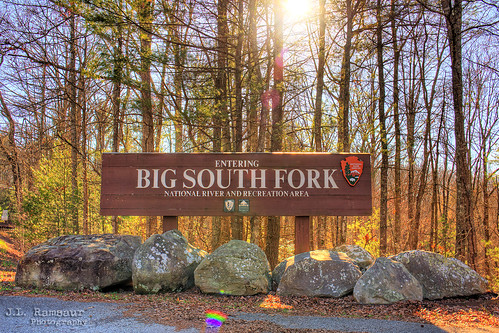
jlrphotography nikond7200 nikon d7200 photography photo bigsouthforknationalrecreationarea middletennessee bigsouthfork tennessee 2018 engineerswithcameras cumberlandplateau photographyforgod thesouth southernphotography screamofthephotographer ibeauty jlramsaurphotography photograph pic tennesseephotographer bigsouthforknationalriverandrecreationarea nationalparkservice nps bigsouthforknationalriverandrecreationareasign kentucky ky southernkentucky hdr worldhdr hdraddicted bracketed photomatix hdrphotomatix hdrvillage hdrworlds hdrimaging hdrrighthererightnow sunset sun sunrays sunlight sunglow orange yellow sunflare lensflare flare sign signage it’sasign signssigns iseeasign signcity nature outdoors nationalrecreationarea nationalriver cumberlandriver ruralsouth rural ruralamerica ruraltennessee ruralview bigsouthforknationalriver
Big South Fork National River and Recreation Area sign - TN & KY
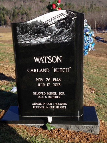
monument headstone tombstone oneida inprint bigsouthfork
The biggest photo honor I've ever had
scannedslide kodachrome64 norfolksouthernrailway 11271989 ns7079 emdgp50 northbound freighttrain mountainviewtn
NS 7079 (EMD GP50) @ Mountain View TN (1989)
scannedslide kodachrome64 norfolksouthernrailway 11291989 trainno111 ns6521 ns6616 emdsd60 emdsd50 southbound mountainviewtn
NS Train No. 111 @ Mountain View, TN (1989)
ianhearn autumn fall hay bales woods leaves trees scott county east tennessee scene landscape canon powershot sx50
East Tennesee Autumn
waterfall tn huntsville tennessee scottcounty townspring bmok
Huntsville, TN Town Spring
ns8378 droneshot nscentraldivisionseconddistrictcnotp helenwood tennessee unitedstates us
NS Train 179
model bikini outdoors nature boulder rocks angelfalls oneida bigsouthfork tennessee thesouth fujifilmxt2 fujinonxf23mmf14r
Angel at the Falls
tennessee downtowns landscapes scottcounty huntsville easttennessee tn northamerica unitedstates us
Downtown Huntsville, Tennessee
atv bigsouthfork
On O&W Road