Elevation of Grape Rough Rd, Oneida, TN, USA
Location: United States > Tennessee > Scott County > Oneida >
Longitude: -84.499946
Latitude: 36.537064
Elevation: 520m / 1706feet
Barometric Pressure: 95KPa
Elevation Map:
Satellite Map:
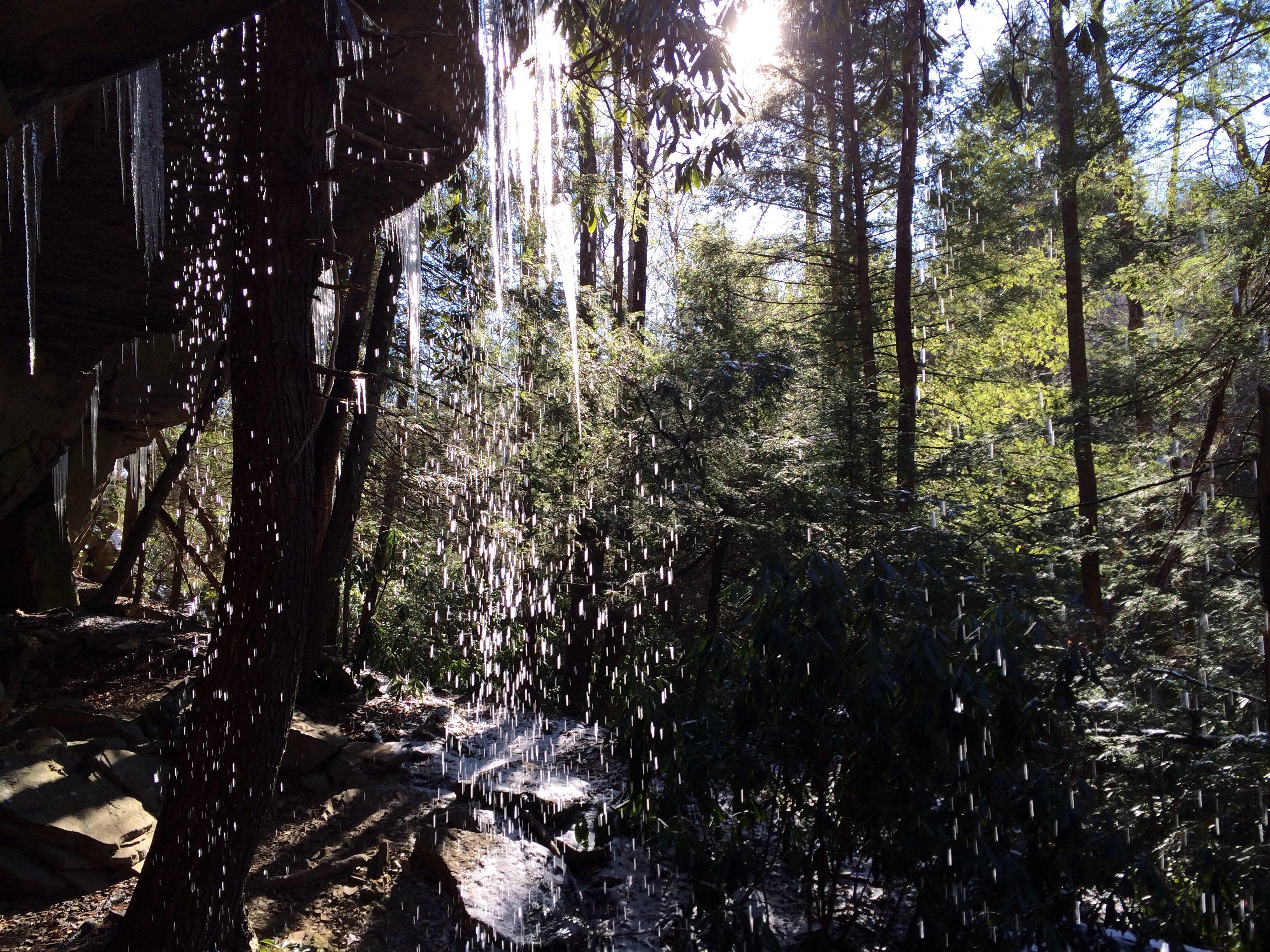
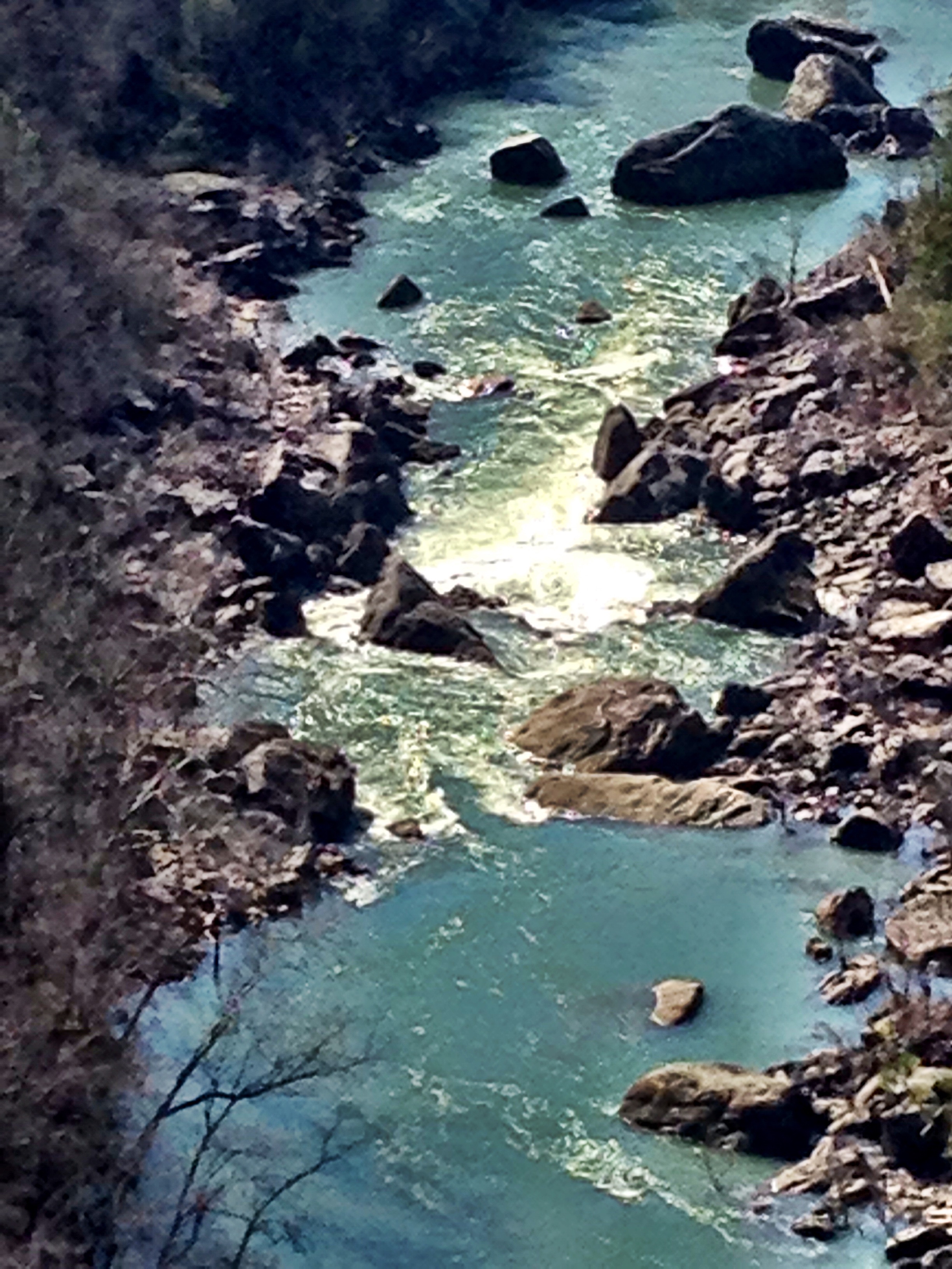
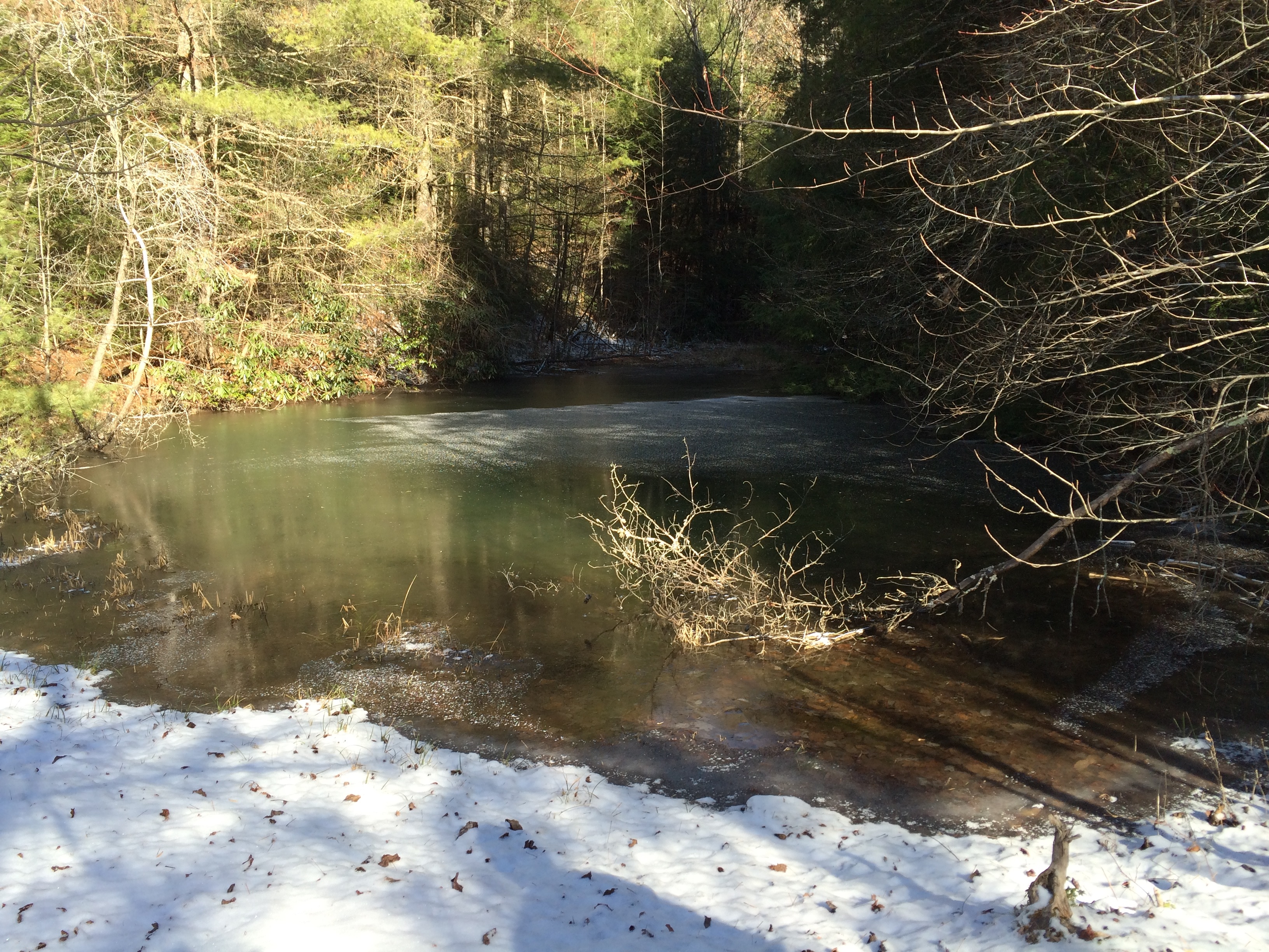
Related Photos:
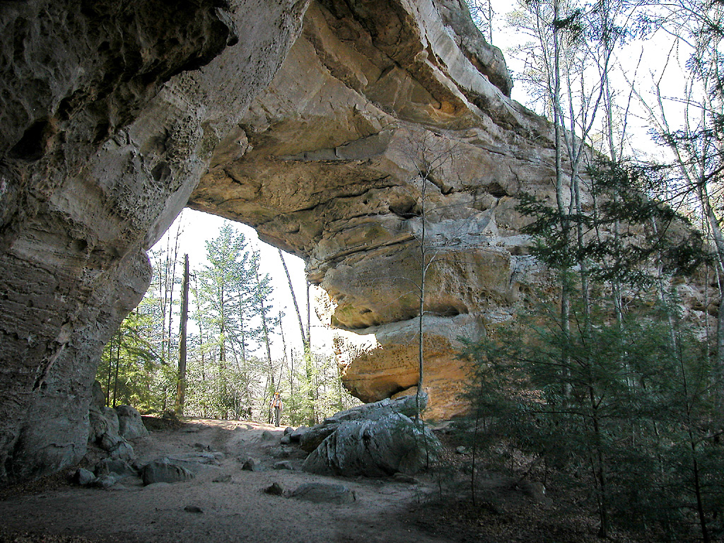
South Twin Arch - Big South Fork National River and Recreation Area
The Devil's Jump Overlook
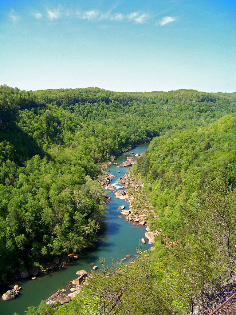
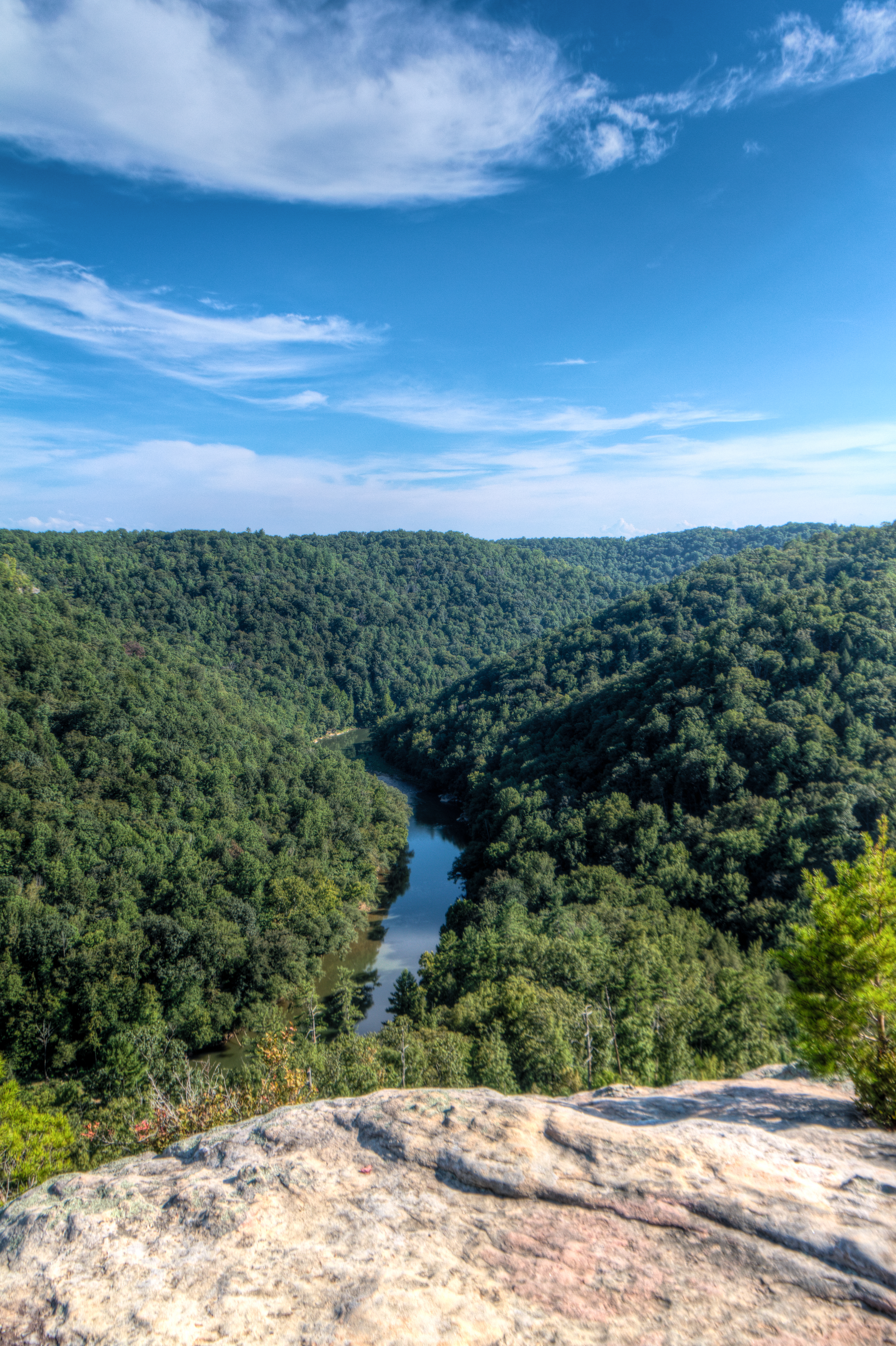
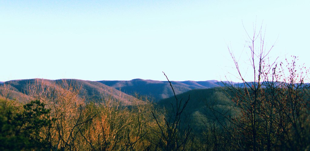
The View From The Devil's Jump

Scott County, TN Courthouse - Huntsville, TN
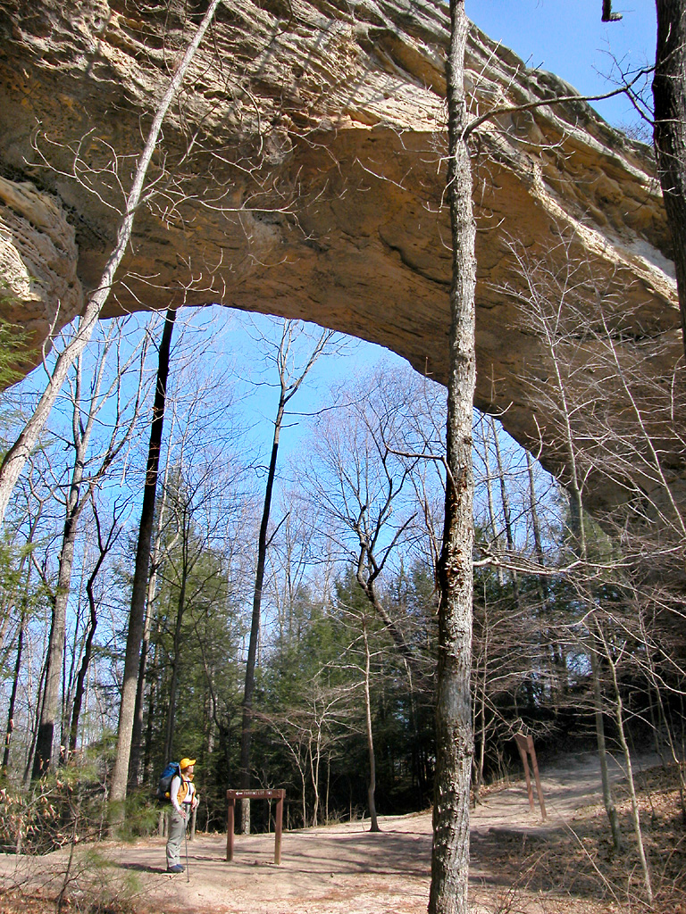
North Twin Arch - Big South Fork National River and Recreation Area
The biggest photo honor I've ever had
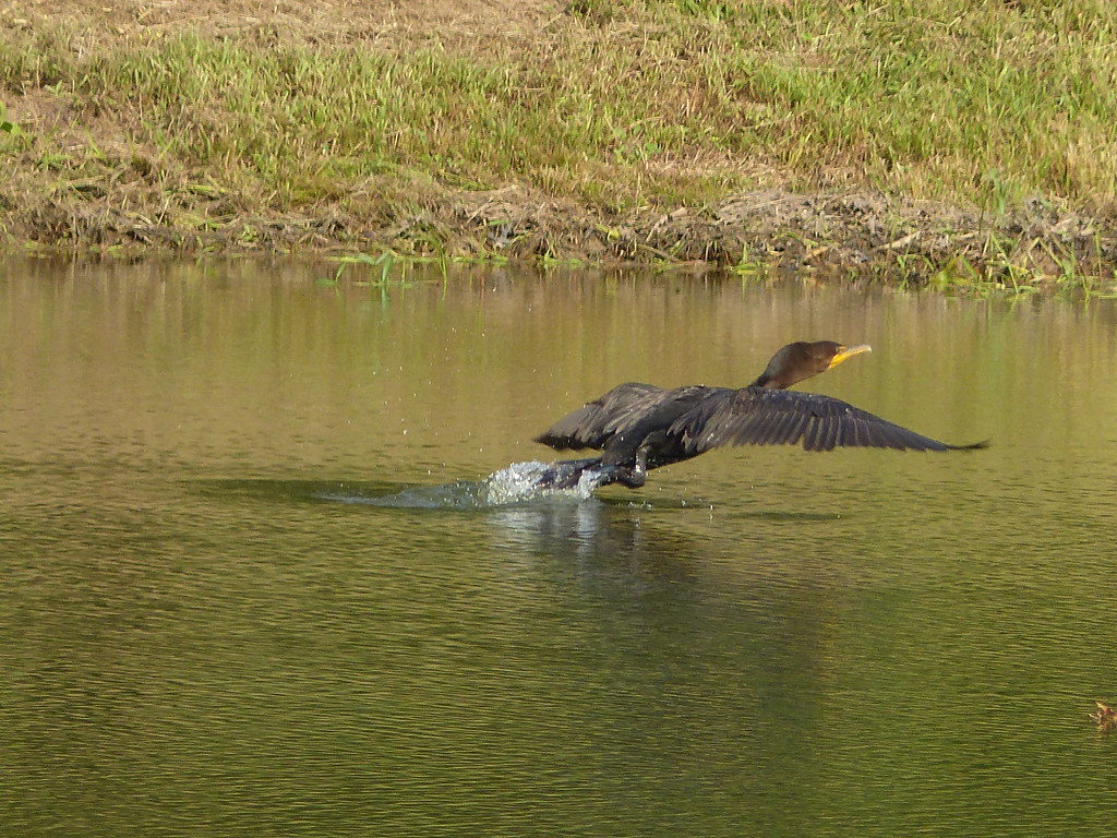
Double Crested Cormorant

K&T 12 Stearns Kentucky Roaring Paunch Ck 1961
Big South Fork: John Litton Farm Loop
Huntsville, TN Town Spring
Blue Heron
Big South Fork: John Litton Farm Loop
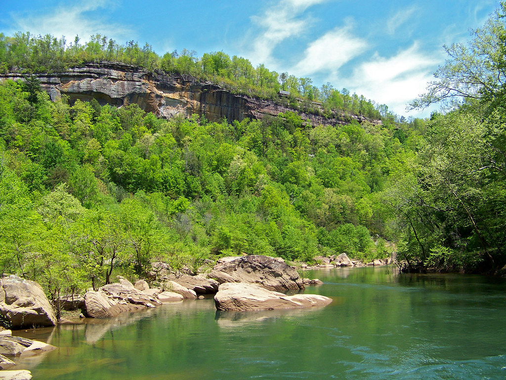
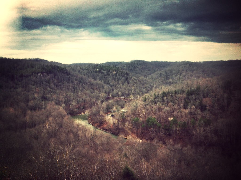
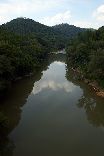
Big South Fork
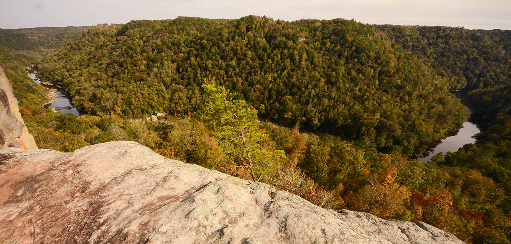
Angel Falls Overlook
Big South Fork: John Litton Farm Loop
Big South Fork (Random Photos) taken by iPhone.
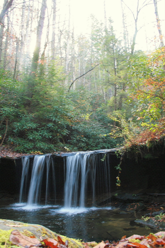
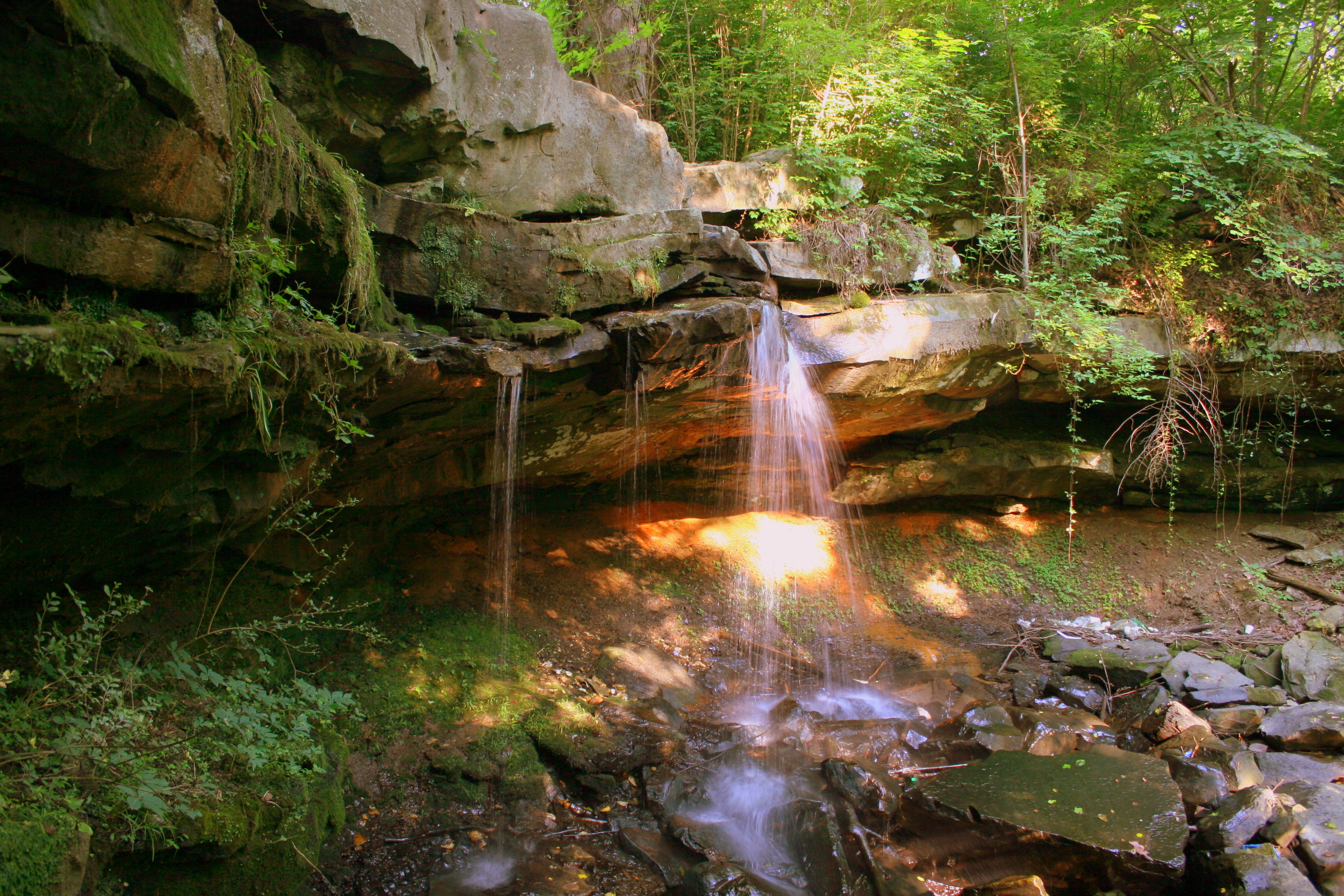
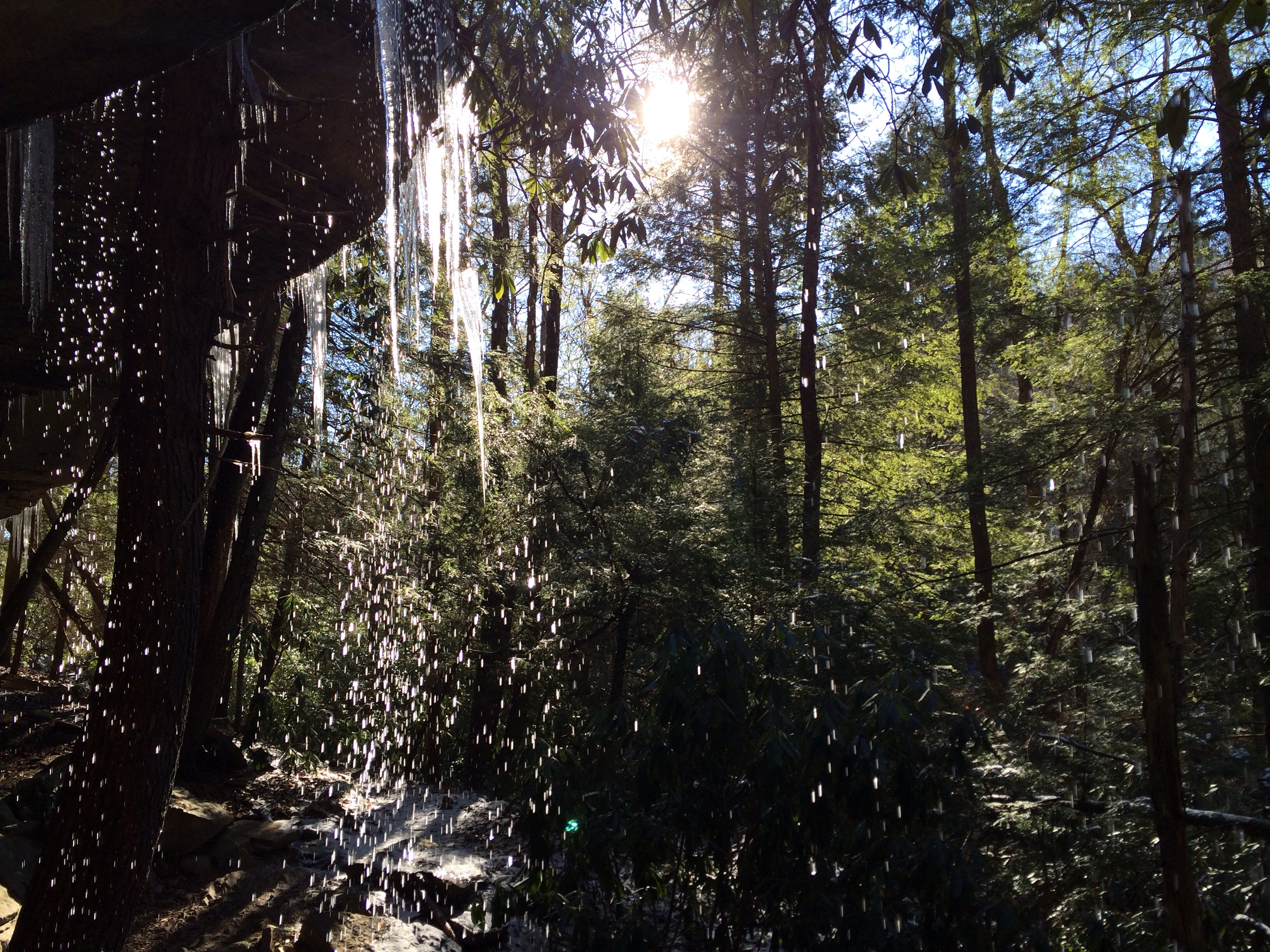
Fall Branch falls
Big South Fork: John Litton Farm Loop
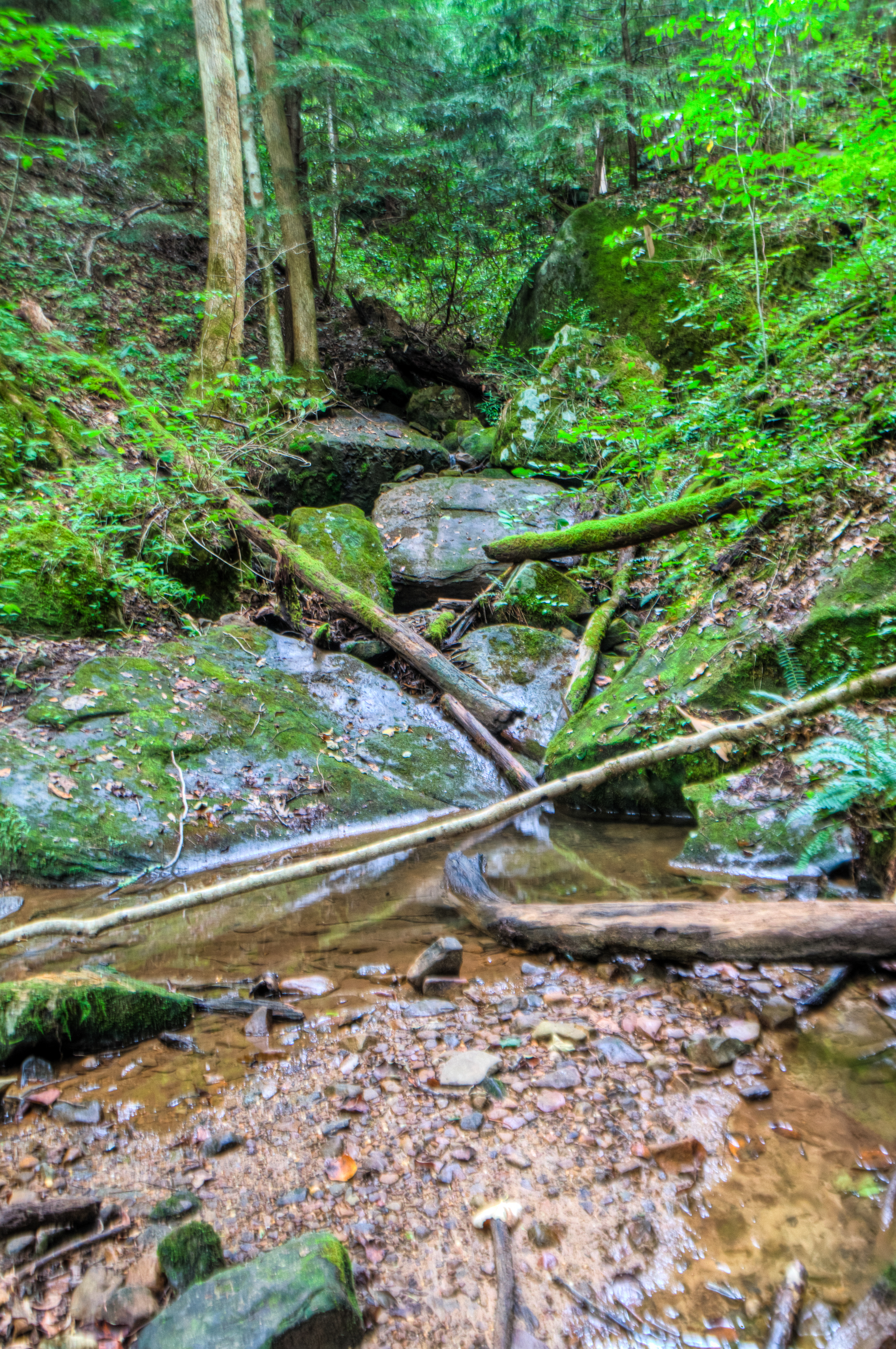
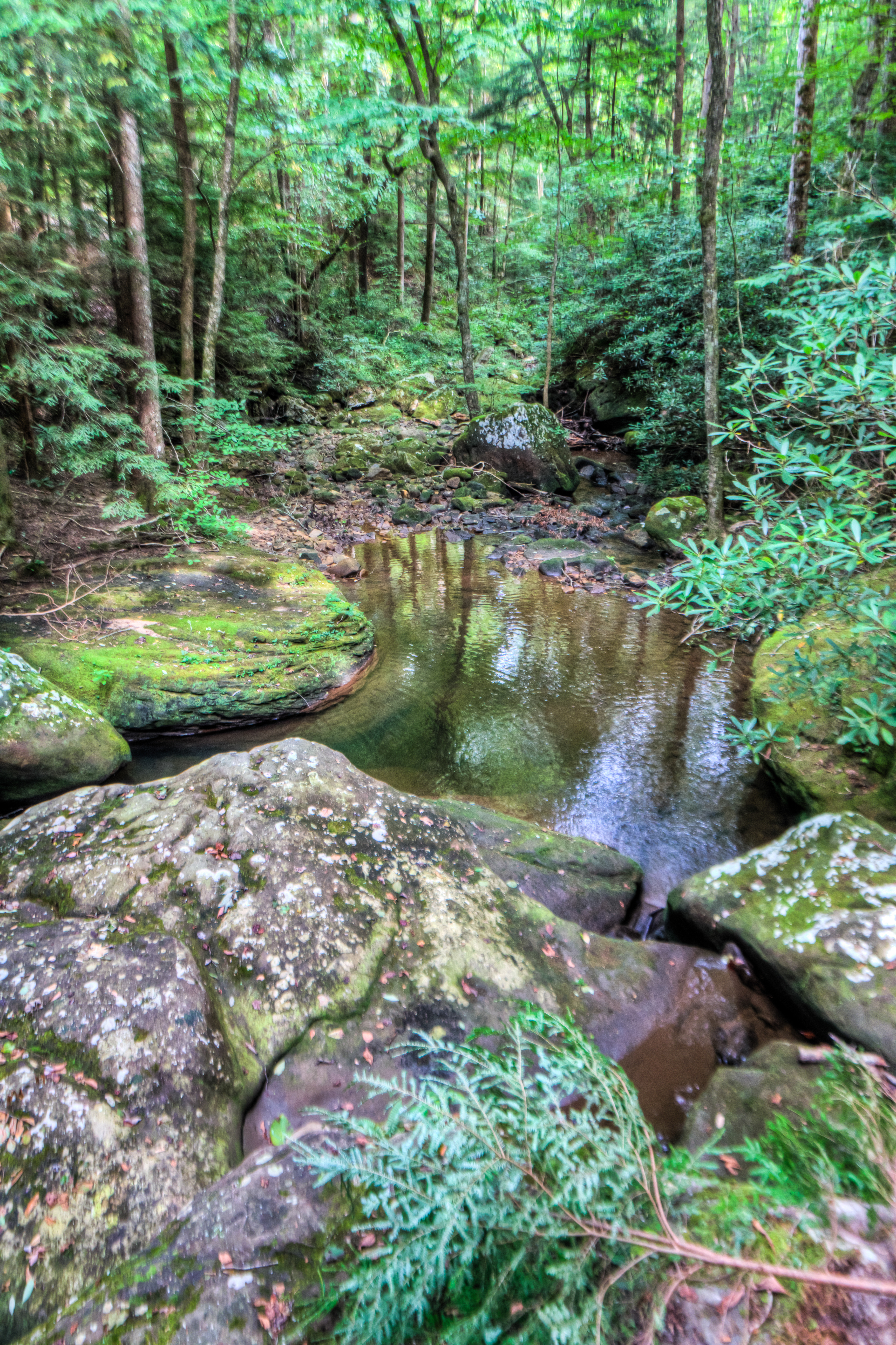
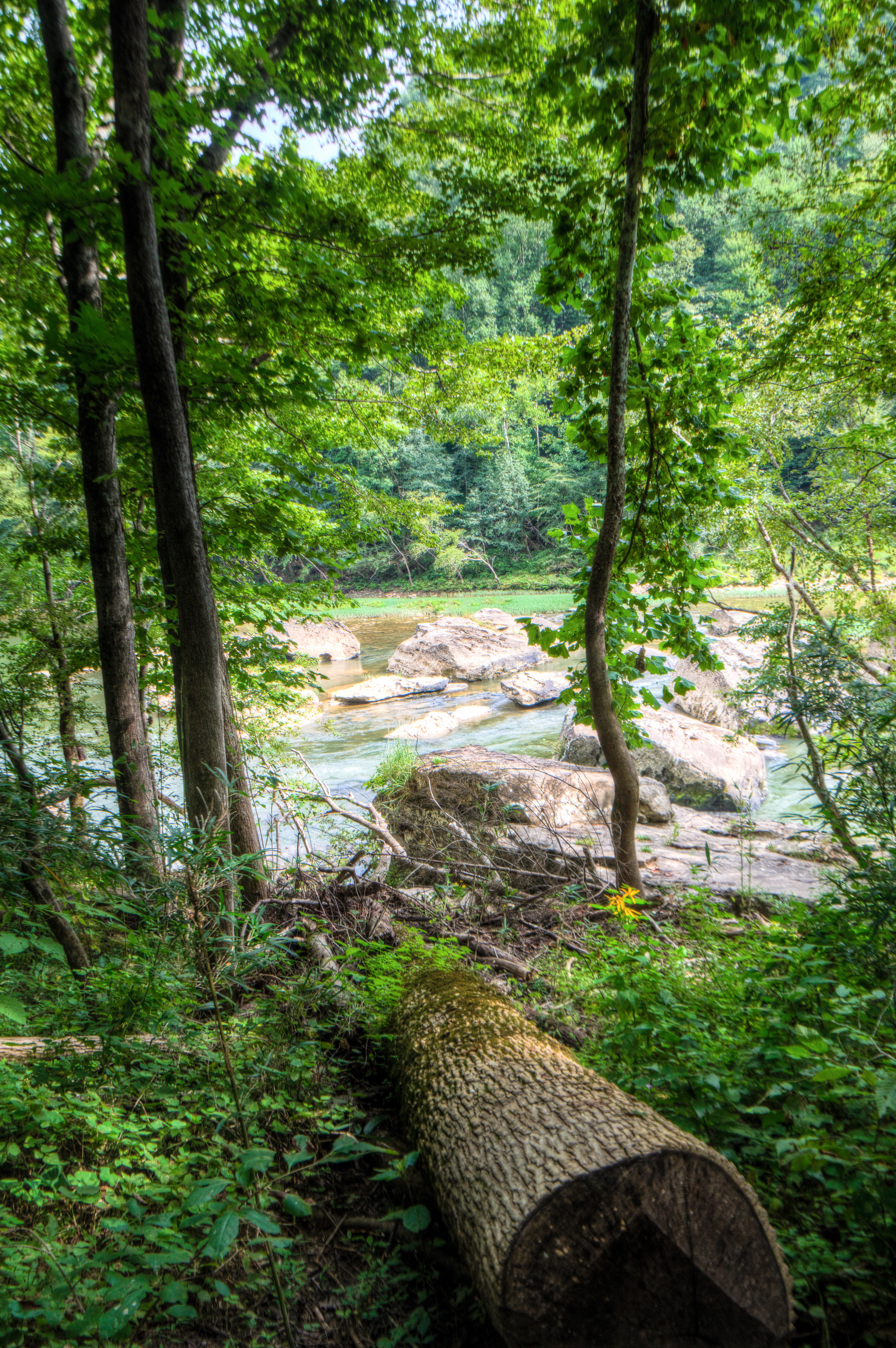
Big South Fork
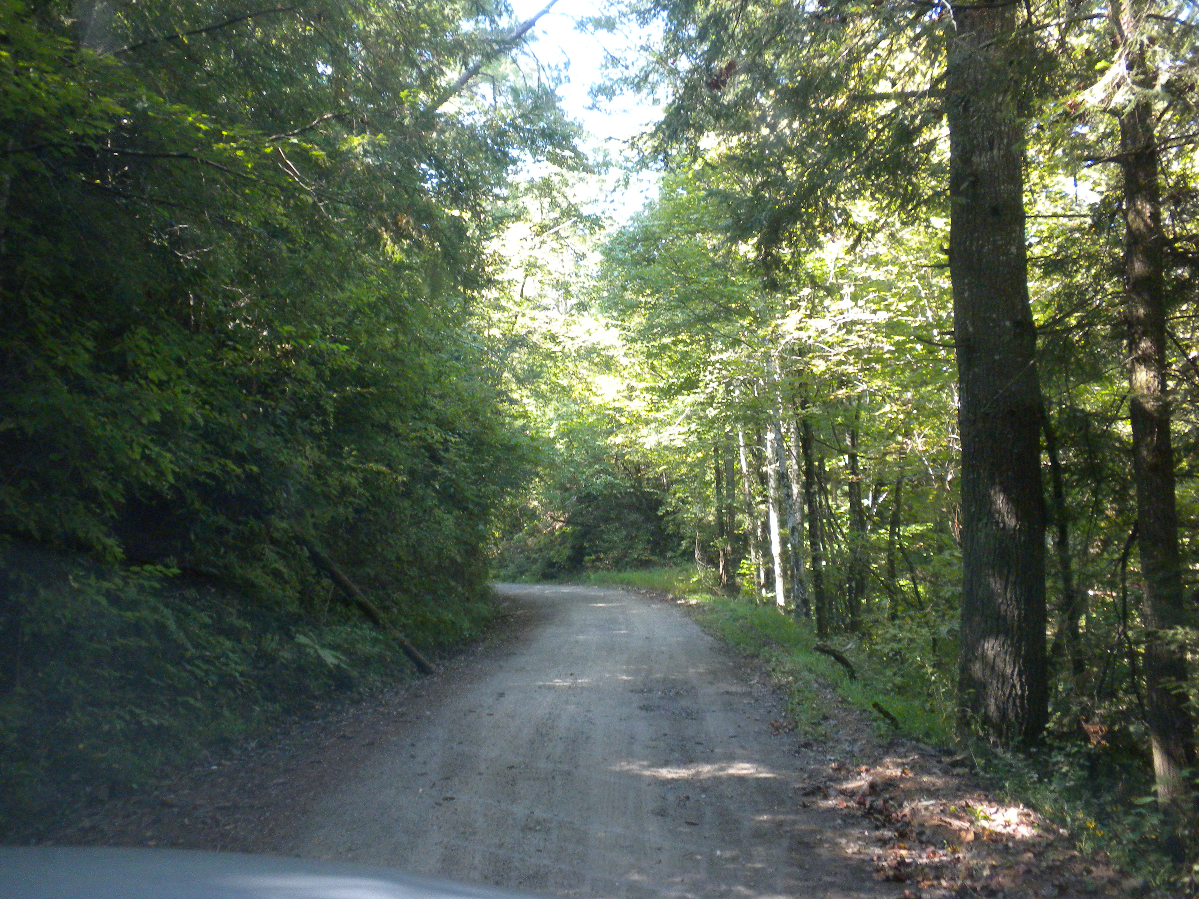
On O&W Road
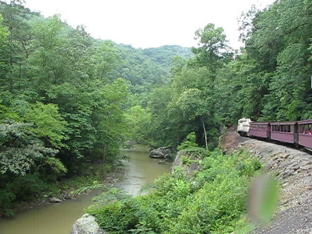
Big South Fork Scenic Railway
Big South Fork
Appalachian Mountains
Big South Fork
Big South Fork
Topographic Map of Grape Rough Rd, Oneida, TN, USA
Find elevation by address:

Places near Grape Rough Rd, Oneida, TN, USA:
481 Forest Ln
410 Church St
Oneida
Buffalo Rd, Oneida, TN, USA
Winfield
151 Ped Rd
656 Chance Private Drive
190 Stein Hollow Rd
Hunter St, Helenwood, TN, USA
2600 Cherry Fork Rd
Shug Mountain
350 Samuel Cross Rd
Coopertown Rd, Oneida, TN, USA
618 Big Springs Rd
501 Coopertown Rd
501 Coopertown Rd
1555 Wilderness Trail
190 Logan Ln
Helenwood
Helenwood
Recent Searches:
- Elevation of Luther Road, Luther Rd, Auburn, CA, USA
- Elevation of Unnamed Road, Respublika Severnaya Osetiya — Alaniya, Russia
- Elevation of Verkhny Fiagdon, North Ossetia–Alania Republic, Russia
- Elevation of F. Viola Hiway, San Rafael, Bulacan, Philippines
- Elevation of Herbage Dr, Gulfport, MS, USA
- Elevation of Lilac Cir, Haldimand, ON N3W 2G9, Canada
- Elevation of Harrod Branch Road, Harrod Branch Rd, Kentucky, USA
- Elevation of Wyndham Grand Barbados Sam Lords Castle All Inclusive Resort, End of Belair Road, Long Bay, Bridgetown Barbados
- Elevation of Iga Trl, Maggie Valley, NC, USA
- Elevation of N Co Rd 31D, Loveland, CO, USA