Elevation of Minerock Road, Minerock Rd, Tennessee, USA
Location: United States > Tennessee > Scott County > Oneida >
Longitude: -84.459163
Latitude: 36.4279718
Elevation: 400m / 1312feet
Barometric Pressure: 97KPa
Elevation Map:
Satellite Map:
Related Photos:

Double Crested Cormorant

Wild Geranium 139_3957

Angel at the Falls

NS Train 178

NS Train 224

NS Train 276

NS Train 11Q

NS Train 60C

NS Train 123
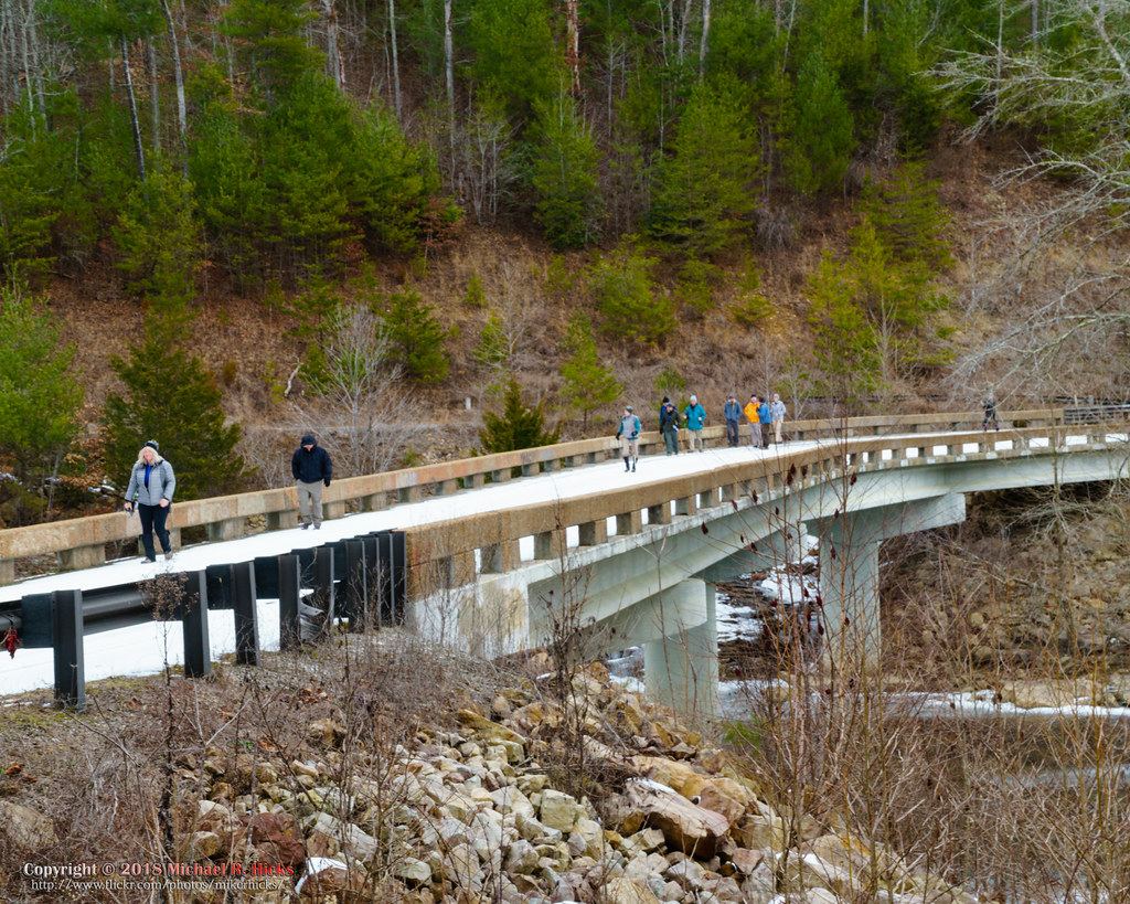
The unplanned warm up hike to Burnt Mill Bridge
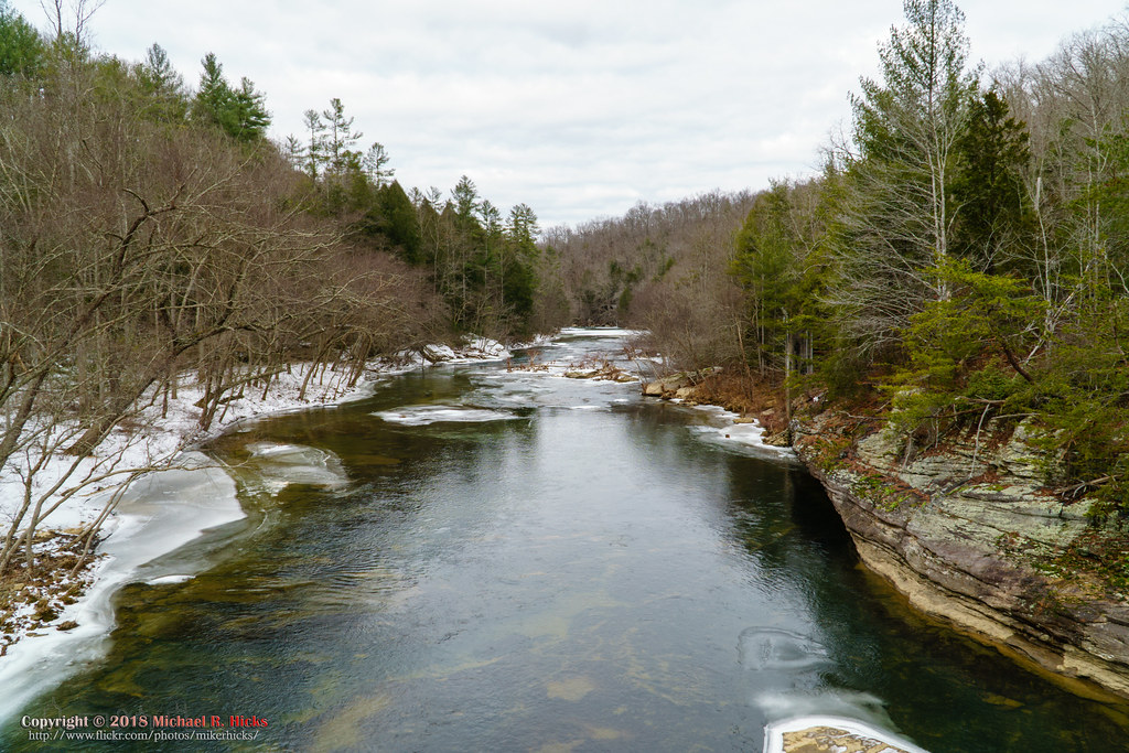
The unplanned warm up hike to Burnt Mill Bridge

Downtown Huntsville, Tennessee
Topographic Map of Minerock Road, Minerock Rd, Tennessee, USA
Find elevation by address:

Places near Minerock Road, Minerock Rd, Tennessee, USA:
350 Samuel Cross Rd
Scott Hwy, Huntsville, TN, USA
Huntsville
BrimstoneⓇ
Hunter St, Helenwood, TN, USA
463 Pauline Dr
Shug Mountain
656 Chance Private Drive
2600 Cherry Fork Rd
Scott County
190 Stein Hollow Rd
Buffalo Rd, Oneida, TN, USA
Helenwood
Helenwood
Helenwood
Oneida
410 Church St
618 Big Springs Rd
1240 Grape Rough Rd
151 Ped Rd
Recent Searches:
- Elevation of Elwyn Dr, Roanoke Rapids, NC, USA
- Elevation of Congressional Dr, Stevensville, MD, USA
- Elevation of Bellview Rd, McLean, VA, USA
- Elevation of Stage Island Rd, Chatham, MA, USA
- Elevation of Shibuya Scramble Crossing, 21 Udagawacho, Shibuya City, Tokyo -, Japan
- Elevation of Jadagoniai, Kaunas District Municipality, Lithuania
- Elevation of Pagonija rock, Kranto 7-oji g. 8"N, Kaunas, Lithuania
- Elevation of Co Rd 87, Jamestown, CO, USA
- Elevation of Tenjo, Cundinamarca, Colombia
- Elevation of Côte-des-Neiges, Montreal, QC H4A 3J6, Canada