Elevation of Saltpond Hill, The Bahamas
Location: The Bahamas > Inagua >
Longitude: -73.633333
Latitude: 20.9666667
Elevation: 7m / 23feet
Barometric Pressure: 101KPa
Elevation Map:
Satellite Map:
Related Photos:

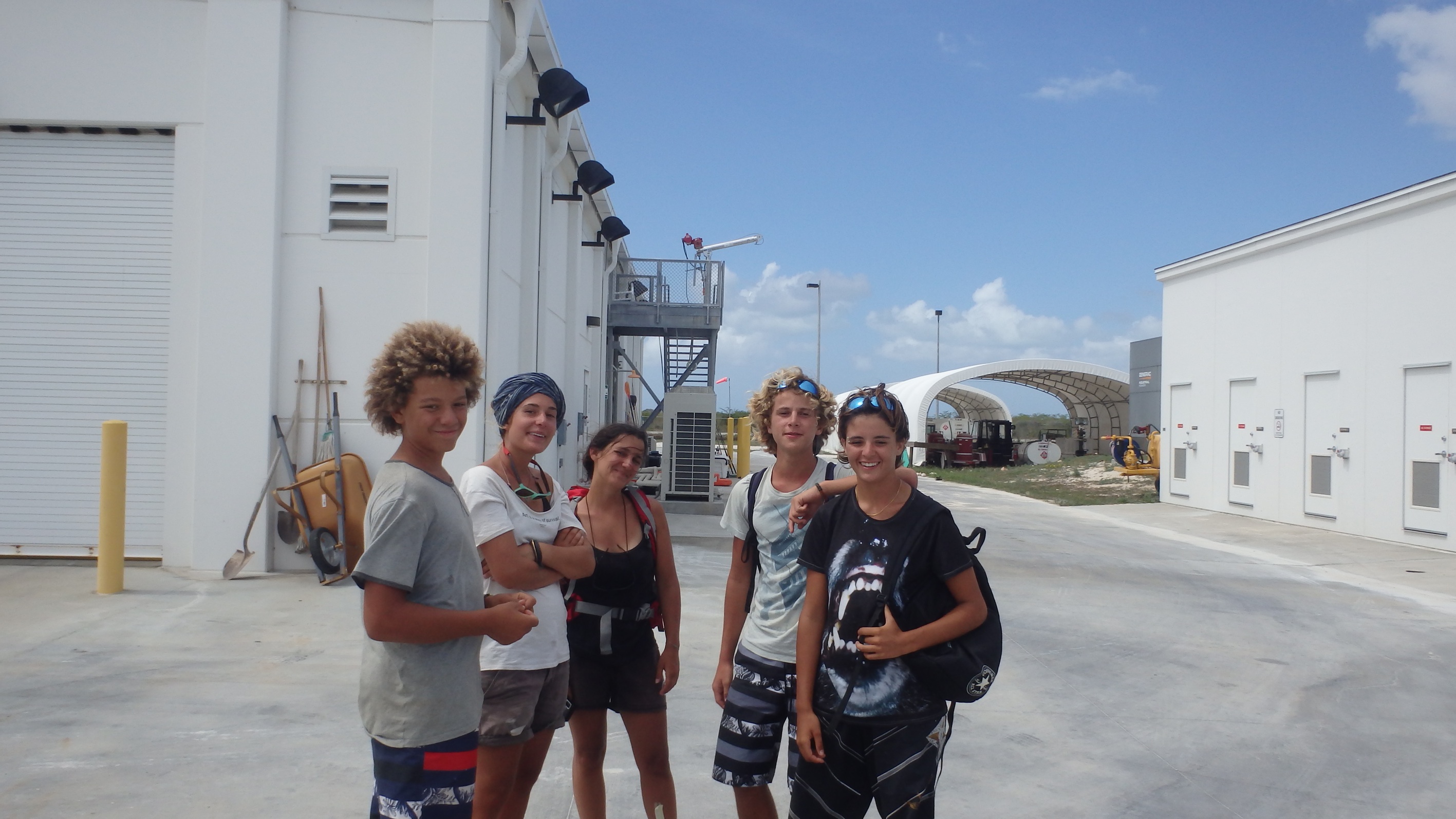
All smiles
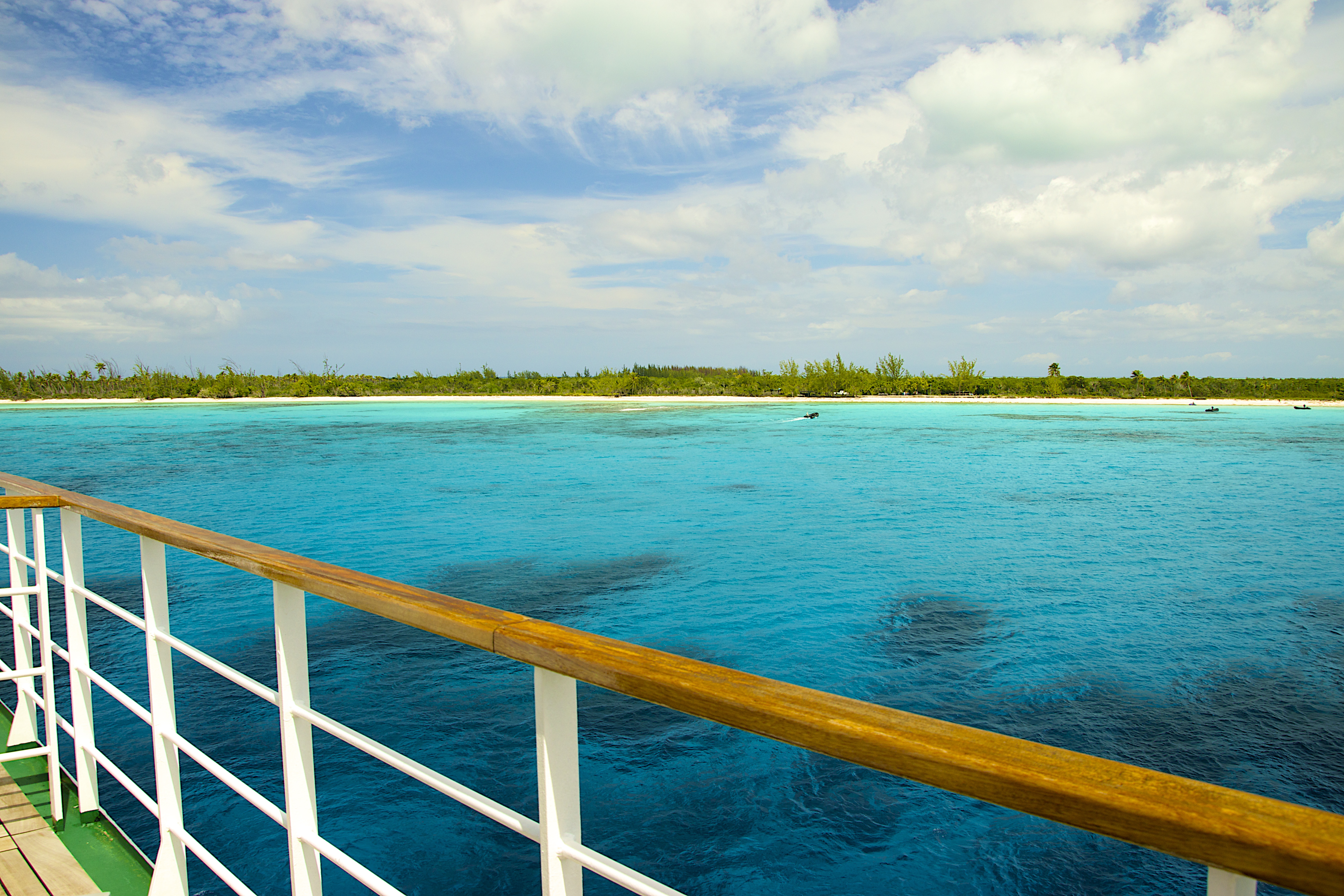
Great Inagua, The Bahamas

06 lettre co (great inagua5)
08 lettre co (great inagua7)

Our Shadow
Topographic Map of Saltpond Hill, The Bahamas
Find elevation by address:

Places near Saltpond Hill, The Bahamas:
Mortimers Hill
Matthew Town
Great Inagua Lighthouse
Lake Rosa
Inagua Islands
Inagua
Faro De Punta De Maisí.
Punta De Maisi
Maisi
Cabacu
Baracoa
Recent Searches:
- Elevation of 15th Ave SE, St. Petersburg, FL, USA
- Elevation of Beall Road, Beall Rd, Florida, USA
- Elevation of Leguwa, Nepal
- Elevation of County Rd, Enterprise, AL, USA
- Elevation of Kolchuginsky District, Vladimir Oblast, Russia
- Elevation of Shustino, Vladimir Oblast, Russia
- Elevation of Lampiasi St, Sarasota, FL, USA
- Elevation of Elwyn Dr, Roanoke Rapids, NC, USA
- Elevation of Congressional Dr, Stevensville, MD, USA
- Elevation of Bellview Rd, McLean, VA, USA