Elevation of Faro de Punta de Maisí., Maisí, Cuba
Location: Cuba > Guantanamo > Maisi > Punta De Maisi >
Longitude: -74.142897
Latitude: 20.2435032
Elevation: 6m / 20feet
Barometric Pressure: 101KPa
Elevation Map:
Satellite Map:
Related Photos:
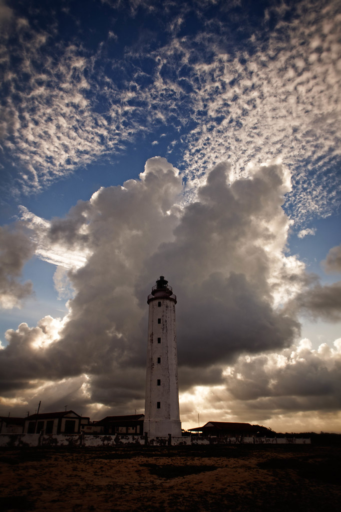
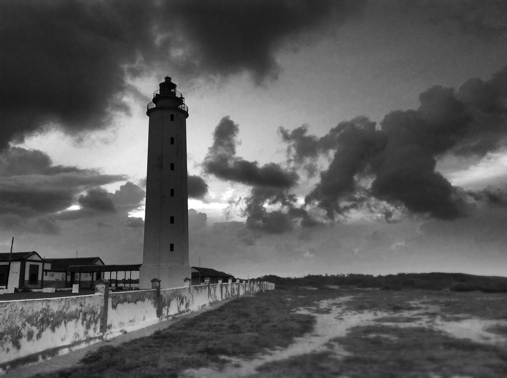
The Maisi Lighthouse

The Easternmost Point of Cuba...
187/366

aguacero acercandose a la costa cubana
B4211.142355^RX100_00969
B4211.142324^RX100_00968
B4211.142302^RX100_00967
B4211.142210^RX100_00966
two by de Ru
Topographic Map of Faro de Punta de Maisí., Maisí, Cuba
Find elevation by address:

Places near Faro de Punta de Maisí., Maisí, Cuba:
Punta De Maisi
Maisi
Cabacu
Baracoa
Great Inagua Lighthouse
Matthew Town
Mortimers Hill
Saltpond Hill
Lake Rosa
Inagua Islands
Inagua
Recent Searches:
- Elevation of Fern Rd, Whitmore, CA, USA
- Elevation of 62 Abbey St, Marshfield, MA, USA
- Elevation of Fernwood, Bradenton, FL, USA
- Elevation of Felindre, Swansea SA5 7LU, UK
- Elevation of Leyte Industrial Development Estate, Isabel, Leyte, Philippines
- Elevation of W Granada St, Tampa, FL, USA
- Elevation of Pykes Down, Ivybridge PL21 0BY, UK
- Elevation of Jalan Senandin, Lutong, Miri, Sarawak, Malaysia
- Elevation of Bilohirs'k
- Elevation of 30 Oak Lawn Dr, Barkhamsted, CT, USA