Elevation of Punta de Maisi, Cuba
Location: Cuba > Guantanamo > Maisi >
Longitude: -74.153356
Latitude: 20.2258318
Elevation: 45m / 148feet
Barometric Pressure: 101KPa
Elevation Map:
Satellite Map:
Related Photos:
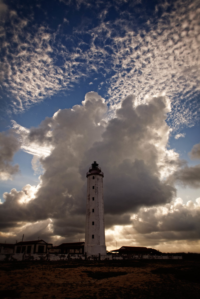
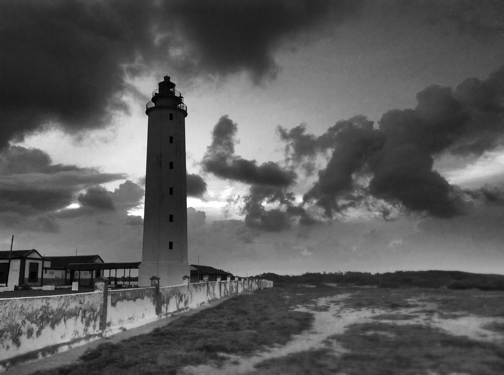
The Maisi Lighthouse

The Easternmost Point of Cuba...
187/366

aguacero acercandose a la costa cubana
Topographic Map of Punta de Maisi, Cuba
Find elevation by address:

Places in Punta de Maisi, Cuba:
Places near Punta de Maisi, Cuba:
Faro De Punta De Maisí.
Maisi
Cabacu
Baracoa
Great Inagua Lighthouse
Matthew Town
Mortimers Hill
Saltpond Hill
Lake Rosa
Inagua Islands
Inagua
Recent Searches:
- Elevation of Tenjo, Cundinamarca, Colombia
- Elevation of Côte-des-Neiges, Montreal, QC H4A 3J6, Canada
- Elevation of Bobcat Dr, Helena, MT, USA
- Elevation of Zu den Ihlowbergen, Althüttendorf, Germany
- Elevation of Badaber, Peshawar, Khyber Pakhtunkhwa, Pakistan
- Elevation of SE Heron Loop, Lincoln City, OR, USA
- Elevation of Slanický ostrov, 01 Námestovo, Slovakia
- Elevation of Spaceport America, Co Rd A, Truth or Consequences, NM, USA
- Elevation of Warwick, RI, USA
- Elevation of Fern Rd, Whitmore, CA, USA