Elevation of Salt Lick Bend Rd, Burkesville, KY, USA
Location: United States > Kentucky > Cumberland County > Burkesville >
Longitude: -85.475582
Latitude: 36.7440943
Elevation: 256m / 840feet
Barometric Pressure: 98KPa
Elevation Map:
Satellite Map:
Related Photos:

View
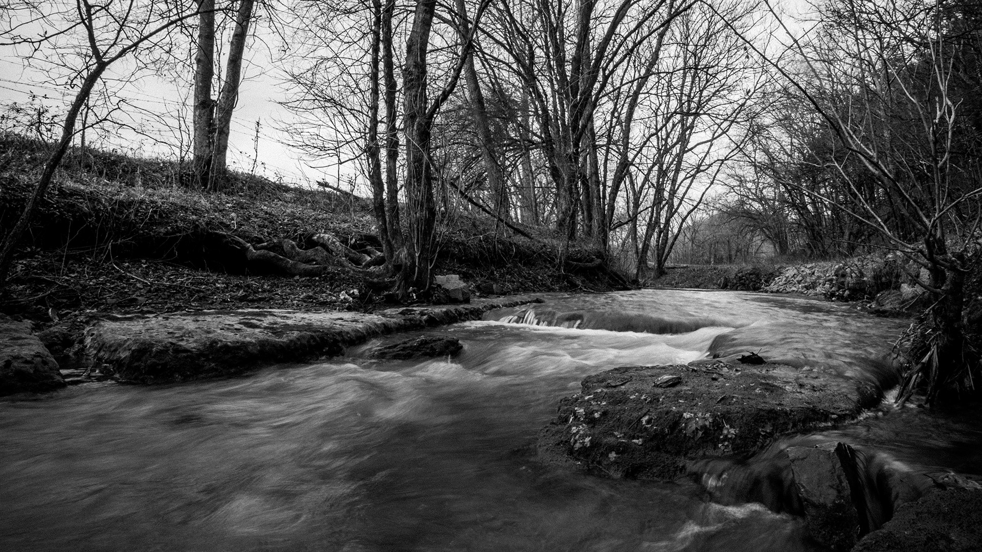
Pitcock Branch creek - 01

Pitcock Branch creek - 02
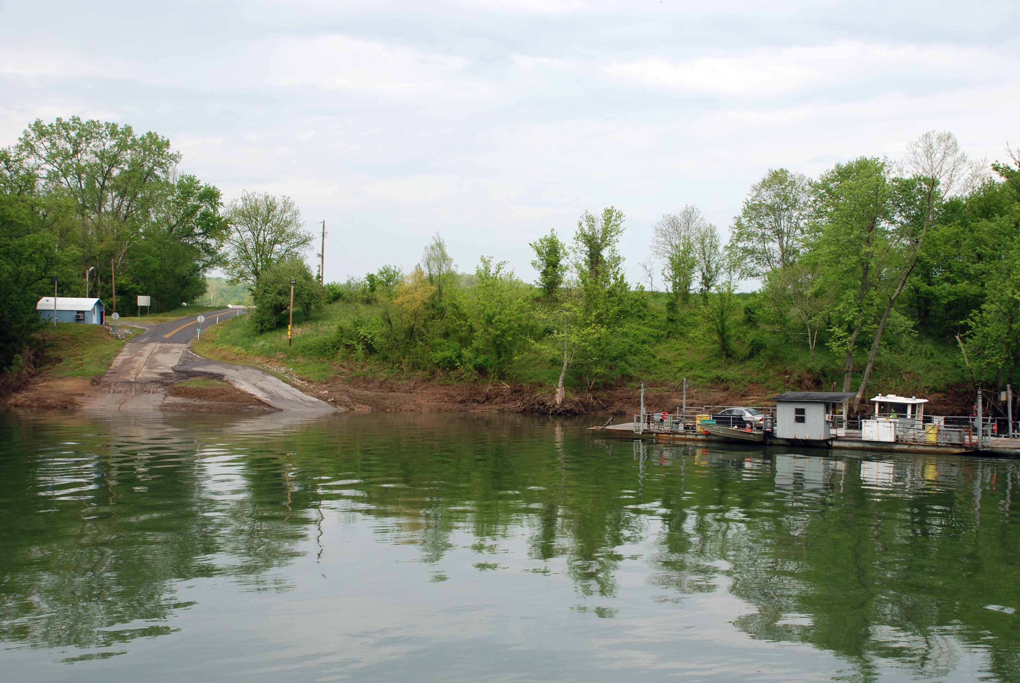
Turkey Neck Bend Ferry
Amélie -

chilling saturday afternoon

err IMG_7117

err IMG_7116

err IMG_7126

err IMG_7130

err IMG_7134

err IMG_7169

err IMG_7177

err IMG_7178

err IMG_7183

err IMG_7181

err IMG_7187

tent and chair
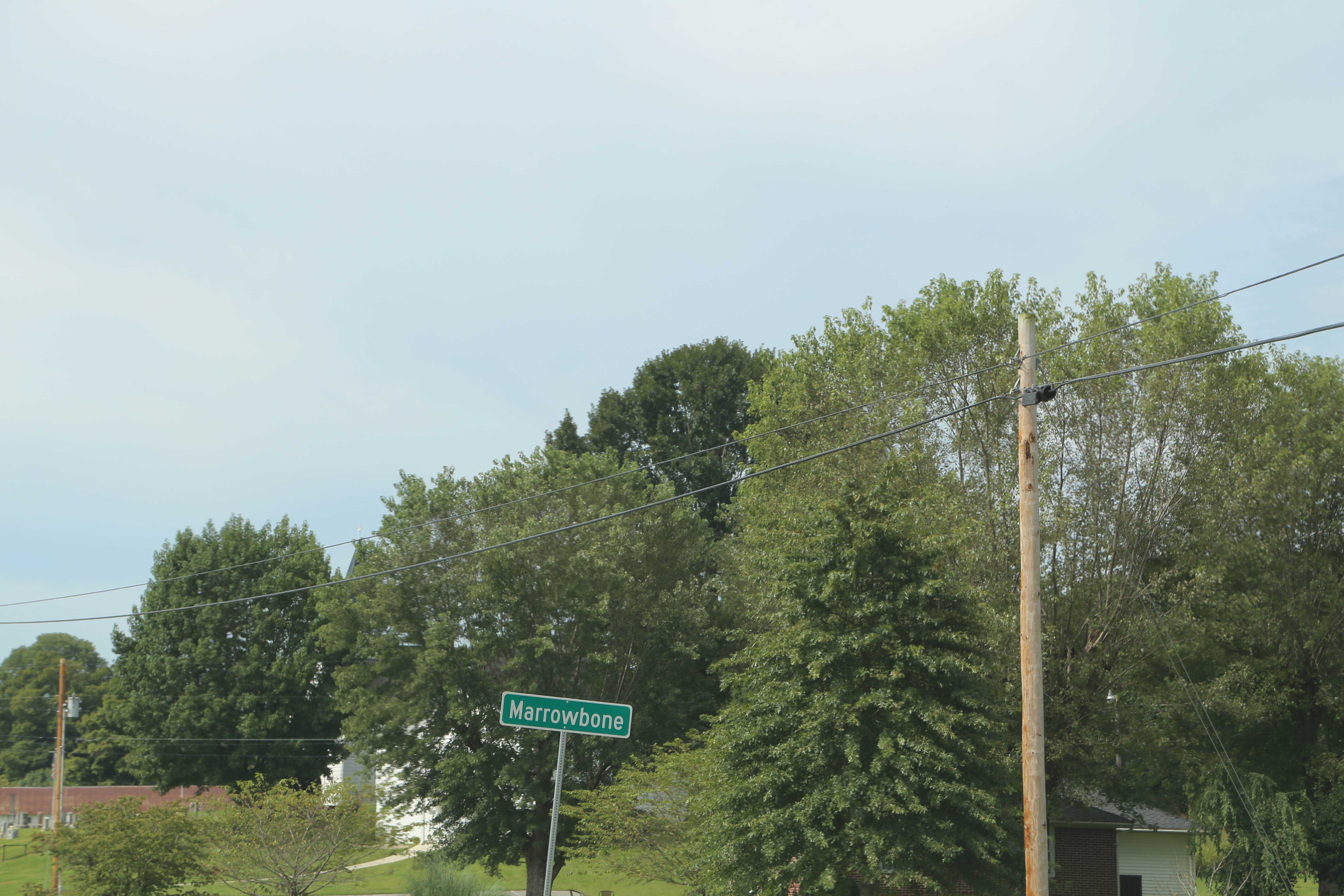
Marrowbone Kentucky, Cumberland County KY
Burkesville Kentucky, Cumberland County KY

Scotts - 5

Scotts - 4

Scotts - 3
Topographic Map of Salt Lick Bend Rd, Burkesville, KY, USA
Find elevation by address:

Places near Salt Lick Bend Rd, Burkesville, KY, USA:
Bull Ridge Rd, Burkesville, KY, USA
Misty River Run Road
Misty River Run Road
Whites Bottom Rd, Burkesville, KY, USA
Whites Bottom Road
Glasgow Rd, Burkesville, KY, USA
204 Rabbit Run Rd
446 Cold Springs Rd
446 Cold Springs Rd
446 Cold Springs Rd
446 Cold Springs Rd
446 Cold Springs Rd
Guthrie Chapel Rd, Burkesville, KY, USA
State Hwy, Burkesville, KY, USA
Vernon Rd, Hestand, KY, USA
Burkesville
Post Office Road
Cumberland County
Happy Valley Rd, Celina, TN, USA
Star Point Road
Recent Searches:
- Elevation of Corso Fratelli Cairoli, 35, Macerata MC, Italy
- Elevation of Tallevast Rd, Sarasota, FL, USA
- Elevation of 4th St E, Sonoma, CA, USA
- Elevation of Black Hollow Rd, Pennsdale, PA, USA
- Elevation of Oakland Ave, Williamsport, PA, USA
- Elevation of Pedrógão Grande, Portugal
- Elevation of Klee Dr, Martinsburg, WV, USA
- Elevation of Via Roma, Pieranica CR, Italy
- Elevation of Tavkvetili Mountain, Georgia
- Elevation of Hartfords Bluff Cir, Mt Pleasant, SC, USA