Elevation of Sainte-Germaine-de-l'Anse-aux-Gascons, QC, Canada
Location: Canada > Québec > Le Rocher-percé Regional County Municipality >
Longitude: -64.889975
Latitude: 48.2559935
Elevation: 197m / 646feet
Barometric Pressure: 99KPa
Elevation Map:
Satellite Map:
Related Photos:
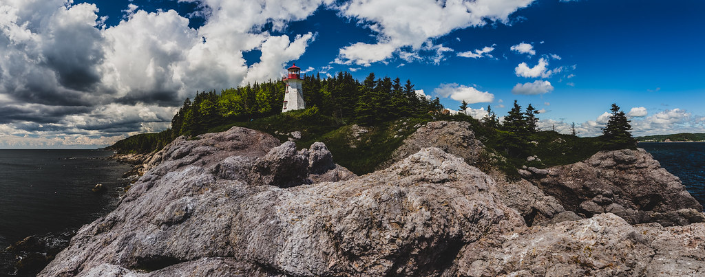
Phare de Port-Daniel Ouest

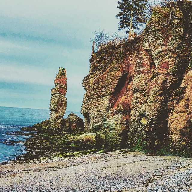
L'Anse à Carnaval

L'Anse-à-Blondel
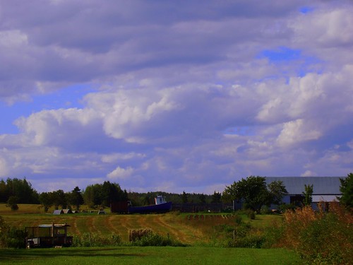
Sunset , front of my home (HDR)
Port-daniel, Qc , La Pointe
Quai Gascons
#gascons #gaspésie #landscape #cape

Rivière Port-Daniel
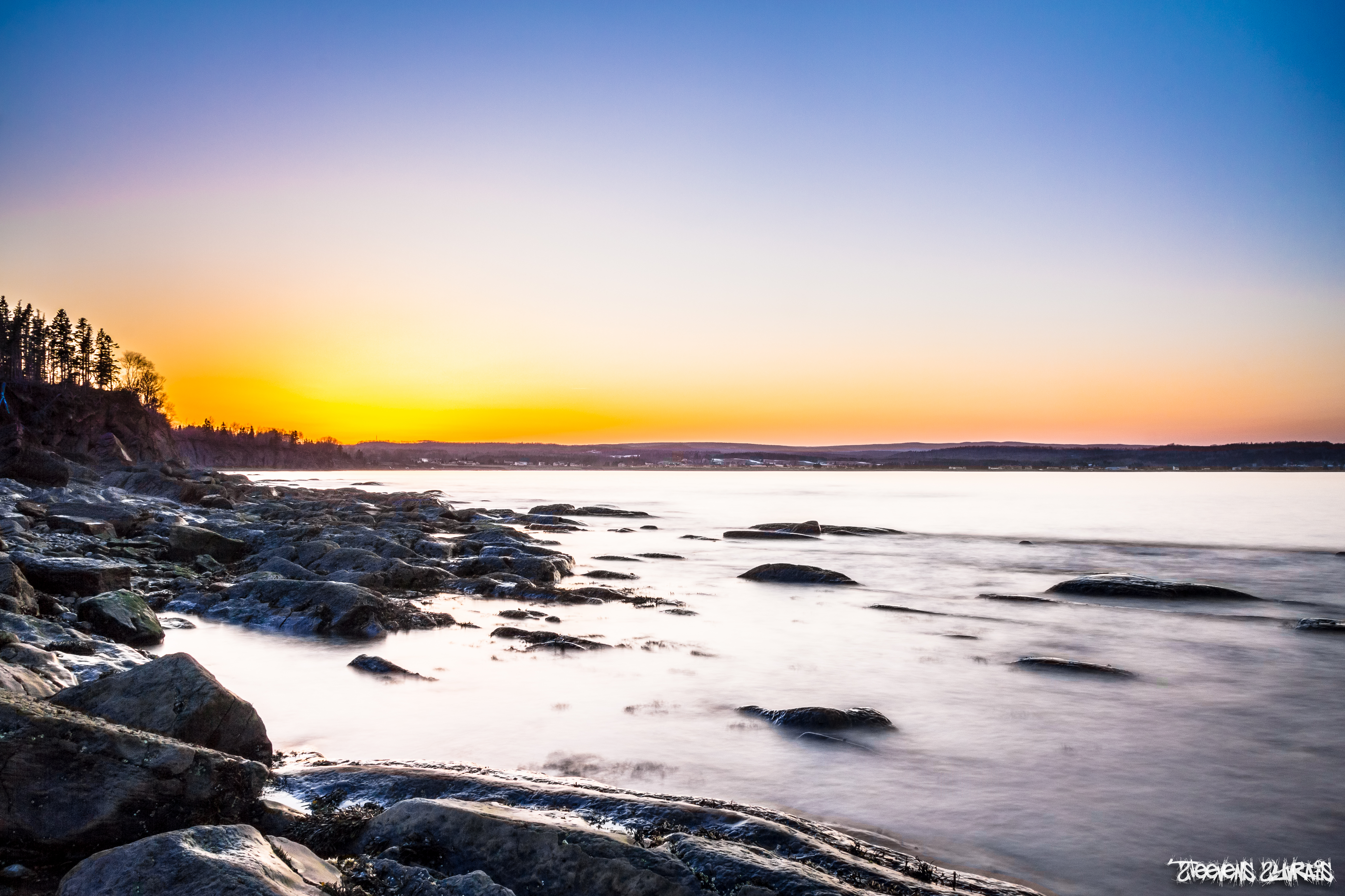
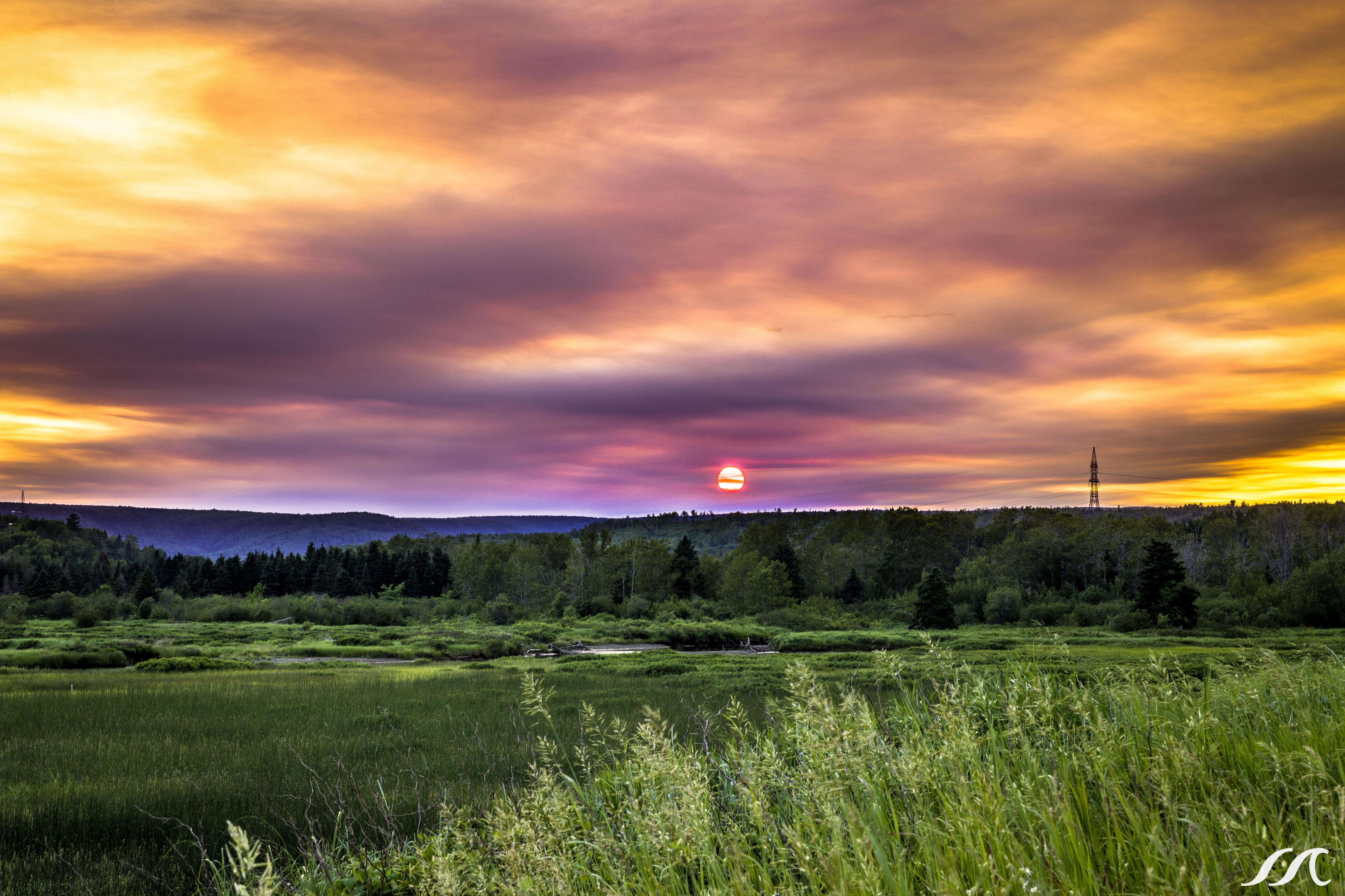
Port-daniel , Qc , sunset
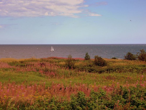
Joyaux de la terre! Fruit of the earth!
A captain has a girl at every port? Route 132, route panoramique
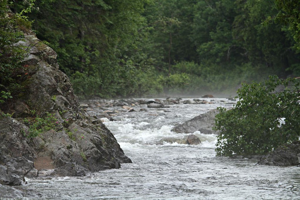
Rivière Port-Daniel
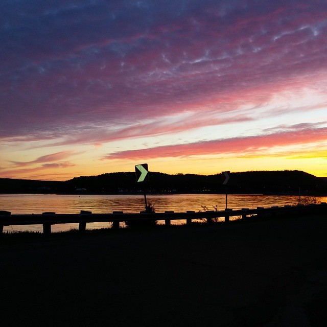
#nofilter #sunset #twilight #gaspésie #port-daniel
Topographic Map of Sainte-Germaine-de-l'Anse-aux-Gascons, QC, Canada
Find elevation by address:

Places in Sainte-Germaine-de-l'Anse-aux-Gascons, QC, Canada:
Places near Sainte-Germaine-de-l'Anse-aux-Gascons, QC, Canada:
Gascons
15 QC-, Gascons, QC G0C 1P0, Canada
165 Qc-132
165 Qc-132
165 Qc-132
QC-, Newport, QC G0C 2A0, Canada
Newport
Newport
Le Rocher-percé Regional County Municipality
QC-, Newport, QC G0C 2A0, Canada
Pabos Mills
54 Route de l'Anse aux Canards, Pabos Mills, QC G0C 2J0, Canada
Pabos Mills
Shigawake
Shigawake
4e Rang, Shigawake, QC G0C 3C0, Canada
QC-, Saint-Godefroi, QC G0C, Canada
Saint-godefroi
Hope
Paspébiac-est
Recent Searches:
- Elevation of Congressional Dr, Stevensville, MD, USA
- Elevation of Bellview Rd, McLean, VA, USA
- Elevation of Stage Island Rd, Chatham, MA, USA
- Elevation of Shibuya Scramble Crossing, 21 Udagawacho, Shibuya City, Tokyo -, Japan
- Elevation of Jadagoniai, Kaunas District Municipality, Lithuania
- Elevation of Pagonija rock, Kranto 7-oji g. 8"N, Kaunas, Lithuania
- Elevation of Co Rd 87, Jamestown, CO, USA
- Elevation of Tenjo, Cundinamarca, Colombia
- Elevation of Côte-des-Neiges, Montreal, QC H4A 3J6, Canada
- Elevation of Bobcat Dr, Helena, MT, USA