Elevation of Pabos Mills, QC G0C, Canada
Location: Canada > Québec > Le Rocher-percé Regional County Municipality > Pabos Mills >
Longitude: -64.708193
Latitude: 48.306403
Elevation: 17m / 56feet
Barometric Pressure: 101KPa
Elevation Map:
Satellite Map:
Related Photos:
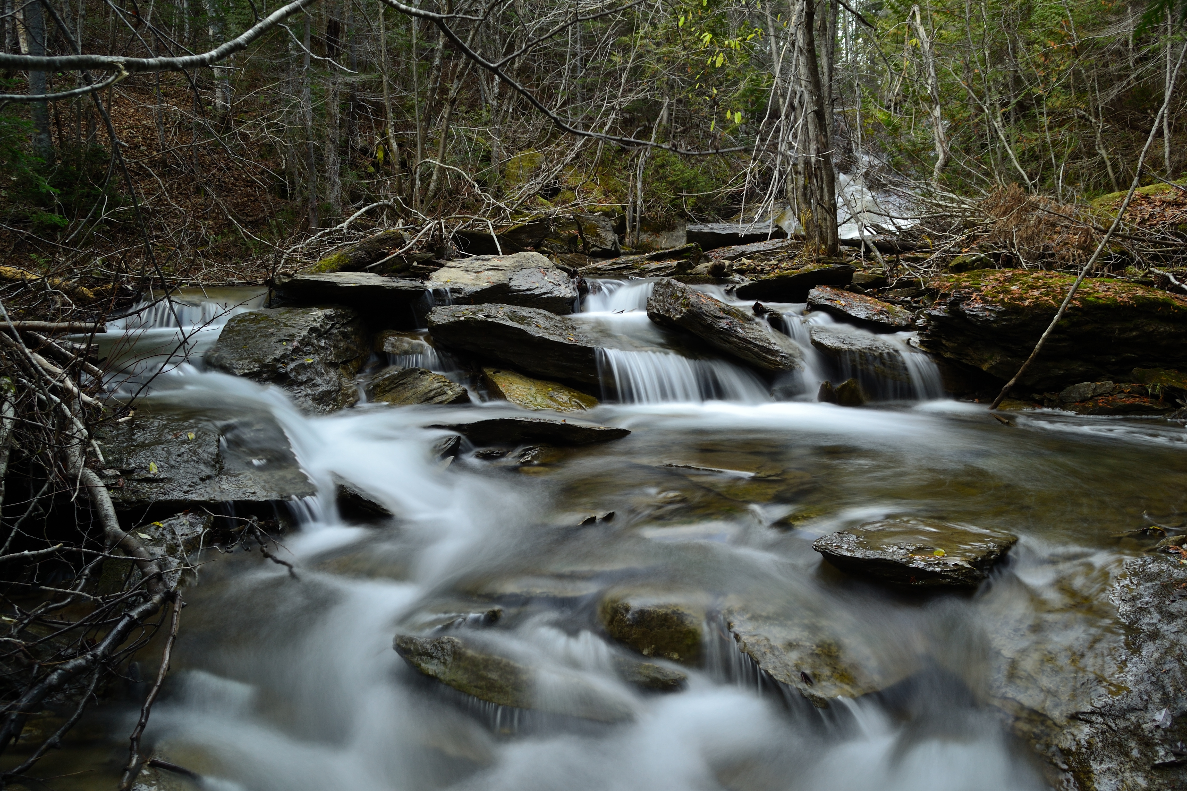
Ruisseau - Creek
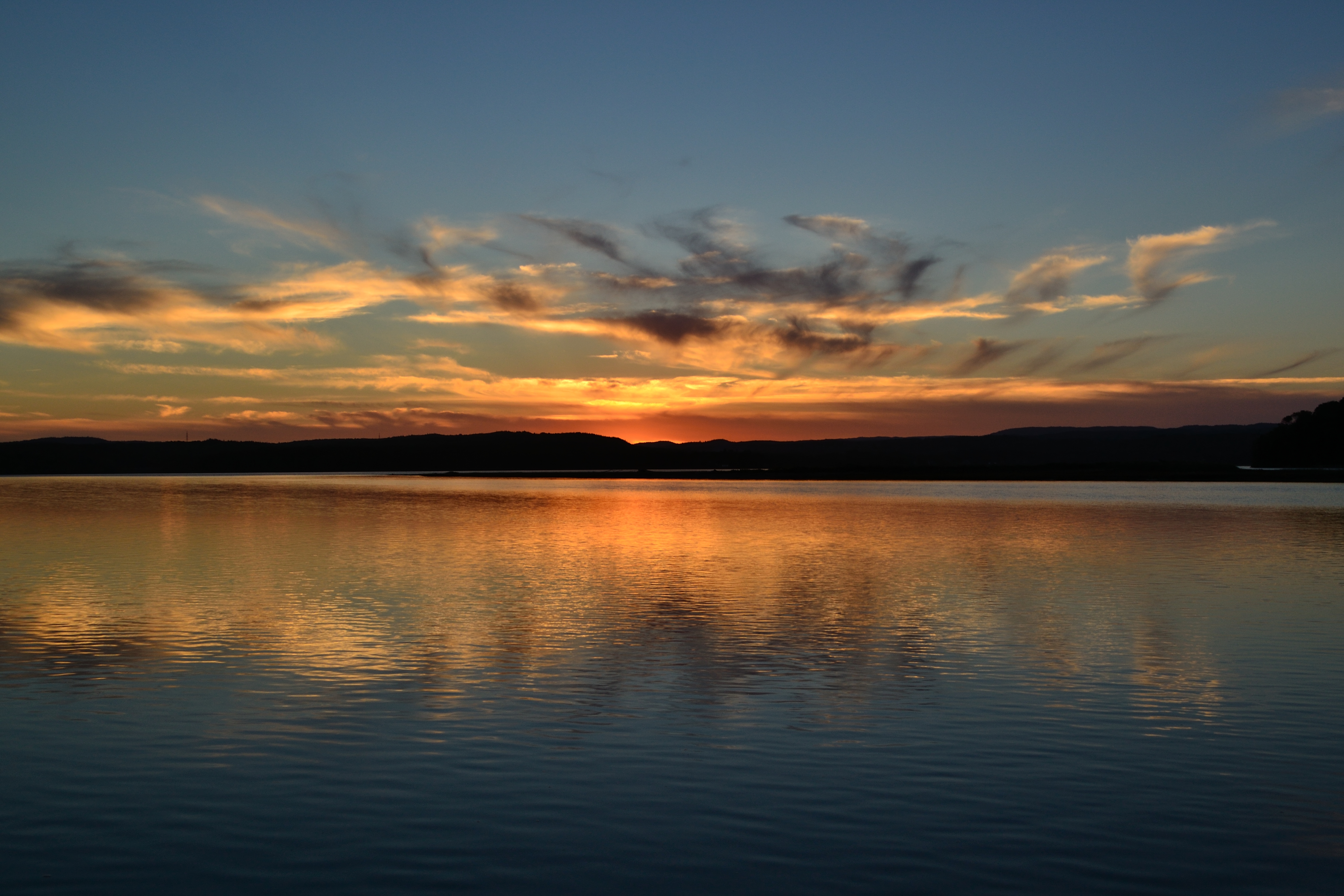
Coucher du soleil - Sunset
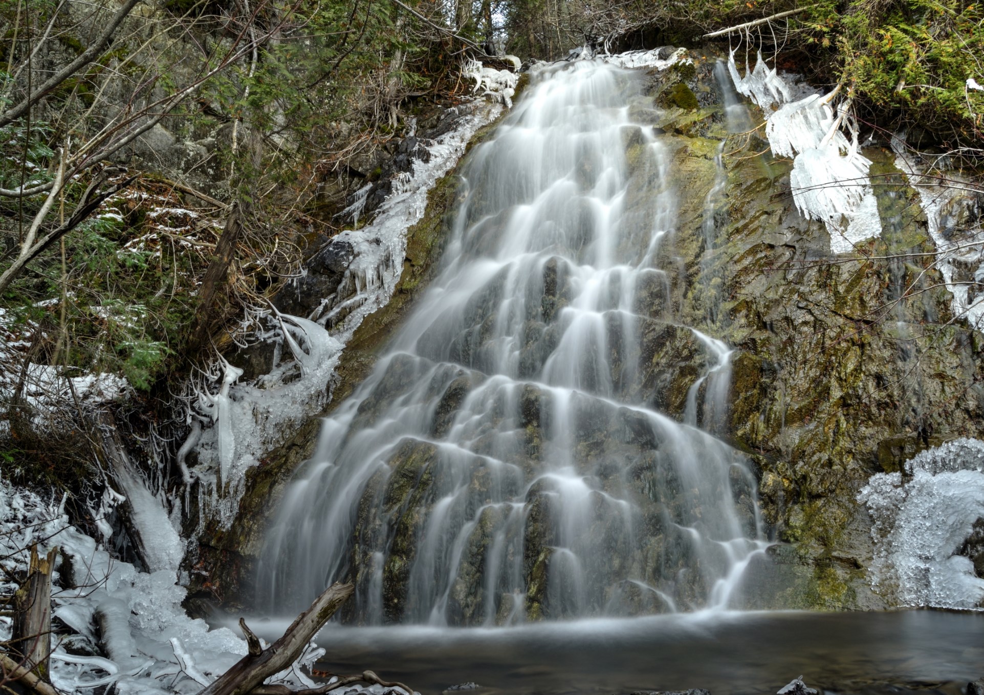
Chute d'eau
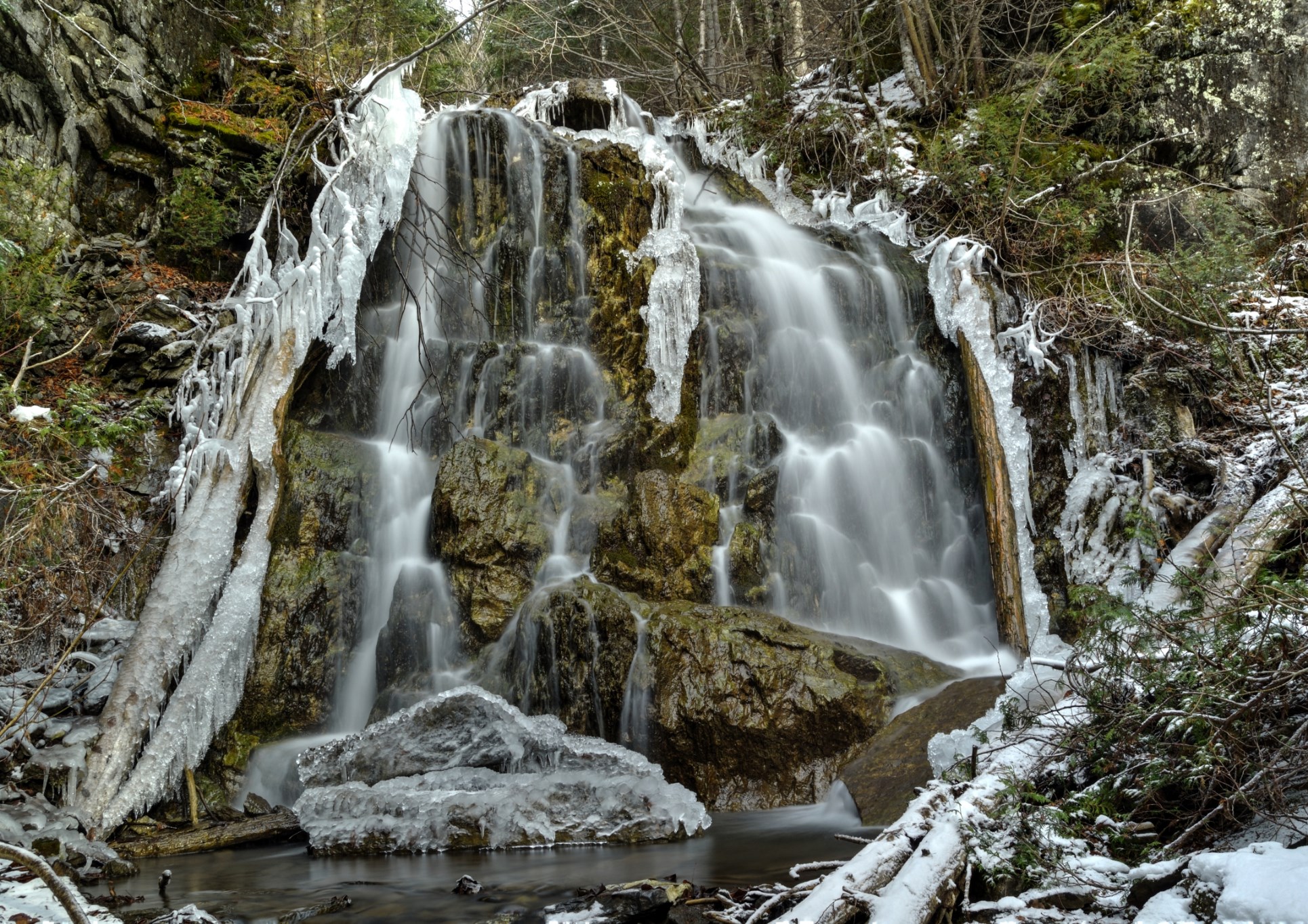
deuxième chute d'eau - Waterfall

L'Anse à Carnaval

L'Anse-à-Blondel
Frozen lake

Rising sun on the Beach

Dramatic Sunrise on the Beach
Ruisseau en sous bois au printemps
Raging sea
Clouds & Sea
Topographic Map of Pabos Mills, QC G0C, Canada
Find elevation by address:

Places in Pabos Mills, QC G0C, Canada:
Places near Pabos Mills, QC G0C, Canada:
54 Route de l'Anse aux Canards, Pabos Mills, QC G0C 2J0, Canada
QC-, Newport, QC G0C 2A0, Canada
Pabos Mills
Newport
Newport
QC-, Newport, QC G0C 2A0, Canada
165 Qc-132
165 Qc-132
165 Qc-132
Le Rocher-percé Regional County Municipality
15 QC-, Gascons, QC G0C 1P0, Canada
Gascons
Sainte-germaine-de-l'anse-aux-gascons
Shigawake
Shigawake
4e Rang, Shigawake, QC G0C 3C0, Canada
QC-, Saint-Godefroi, QC G0C, Canada
Saint-godefroi
Hope
Paspébiac-est
Recent Searches:
- Elevation of Gateway Blvd SE, Canton, OH, USA
- Elevation of East W.T. Harris Boulevard, E W.T. Harris Blvd, Charlotte, NC, USA
- Elevation of West Sugar Creek, Charlotte, NC, USA
- Elevation of Wayland, NY, USA
- Elevation of Steadfast Ct, Daphne, AL, USA
- Elevation of Lagasgasan, X+CQH, Tiaong, Quezon, Philippines
- Elevation of Rojo Ct, Atascadero, CA, USA
- Elevation of Flagstaff Drive, Flagstaff Dr, North Carolina, USA
- Elevation of Avery Ln, Lakeland, FL, USA
- Elevation of Woolwine, VA, USA