Elevation of 4e Rang, Shigawake, QC G0C 3C0, Canada
Location: Canada > Québec > Bonaventure Regional County Municipality > Shigawake > Shigawake >
Longitude: -65.110585
Latitude: 48.1389415
Elevation: 145m / 476feet
Barometric Pressure: 100KPa
Elevation Map:
Satellite Map:
Related Photos:
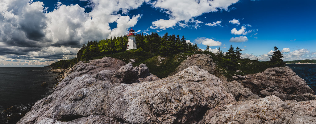
Phare de Port-Daniel Ouest
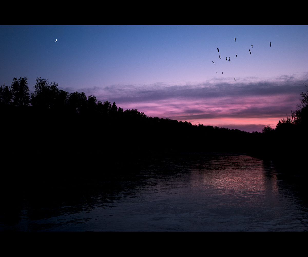
Night is coming
Sunset , front of my home (HDR)
Port-daniel, Qc , La Pointe

0130-IMG_4_0595p
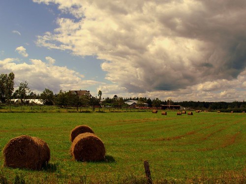
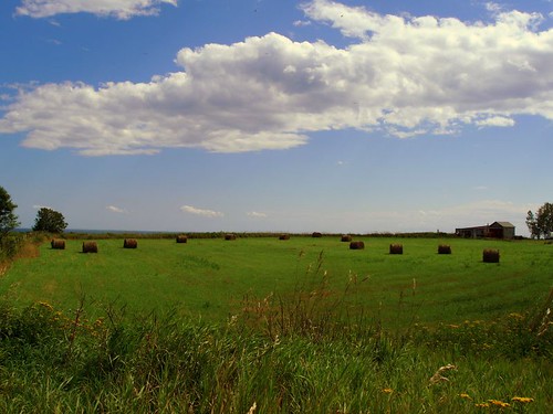
Belles de foin
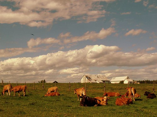
Vive la nature!
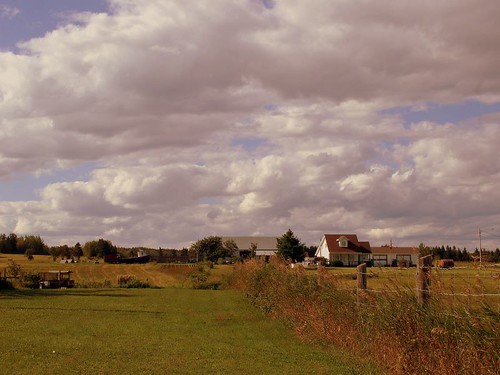
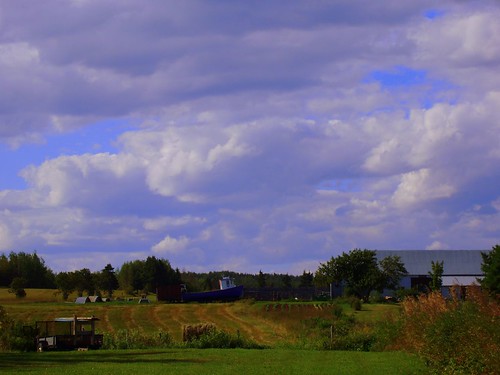
Terre, mer et vie de tous les jours. Earth, sea and everyday living.

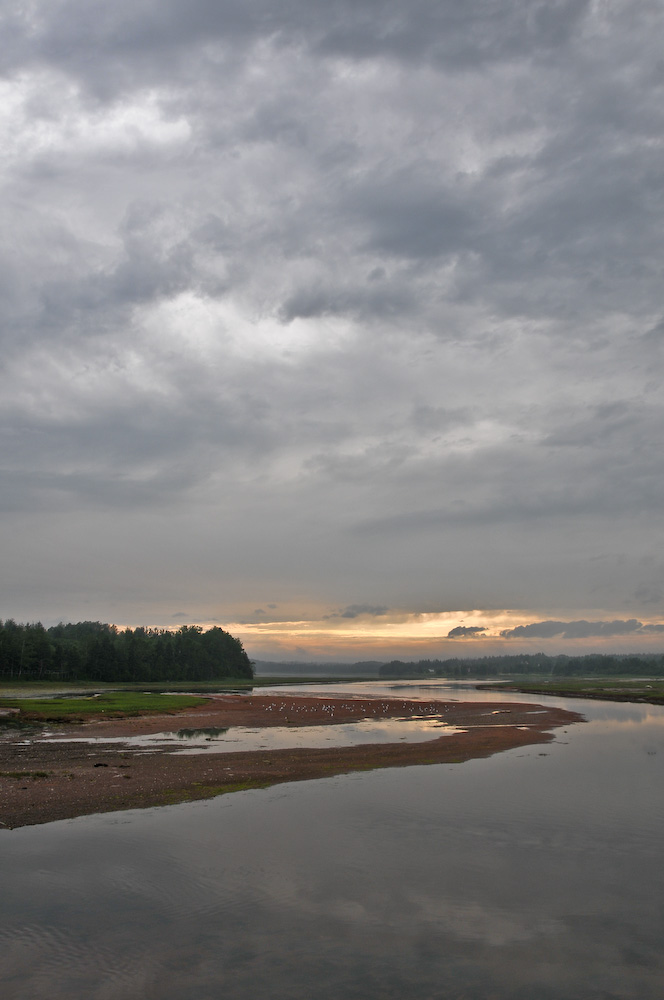
Rivière Port-Daniel
Gaspesie_(6_of_6)
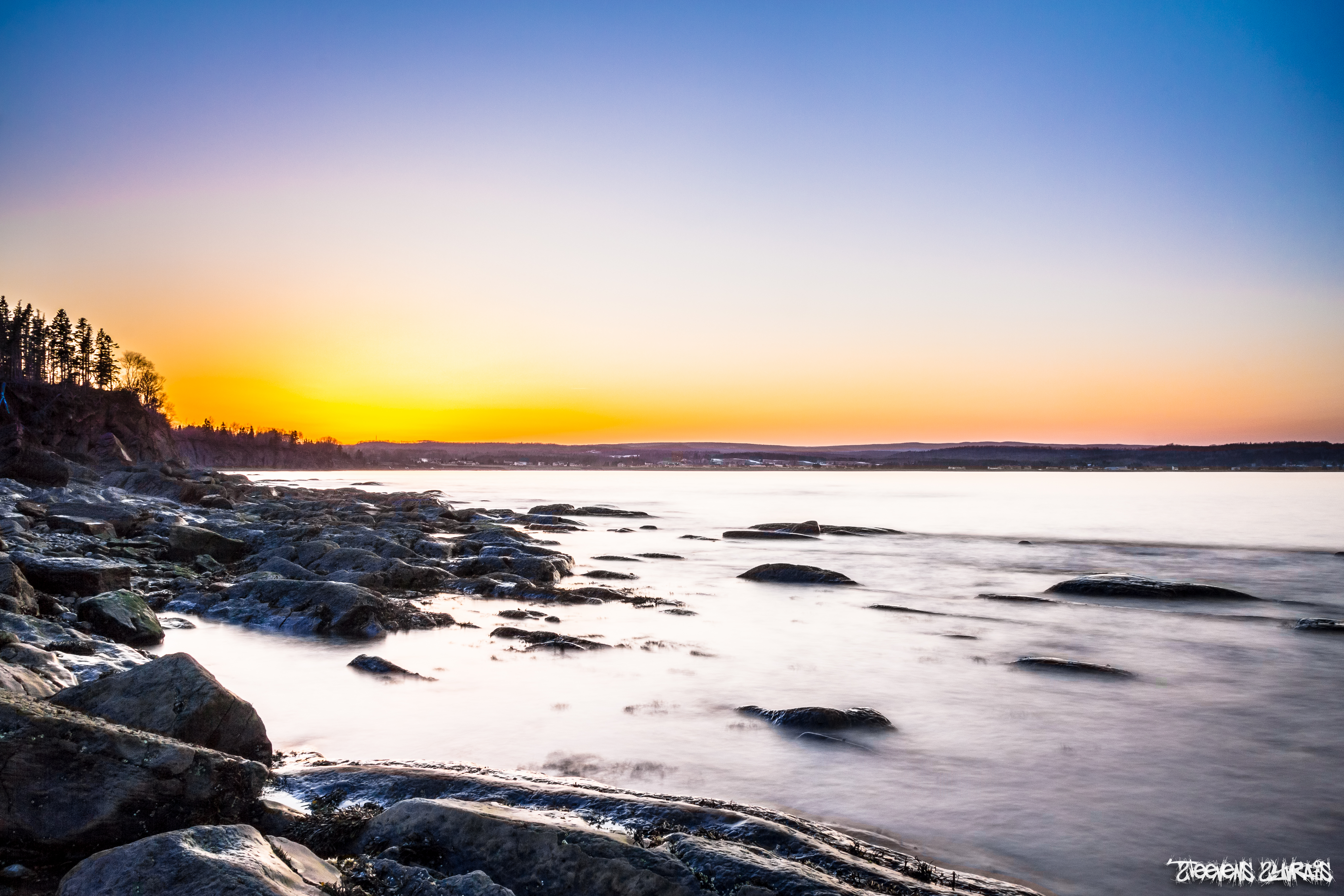
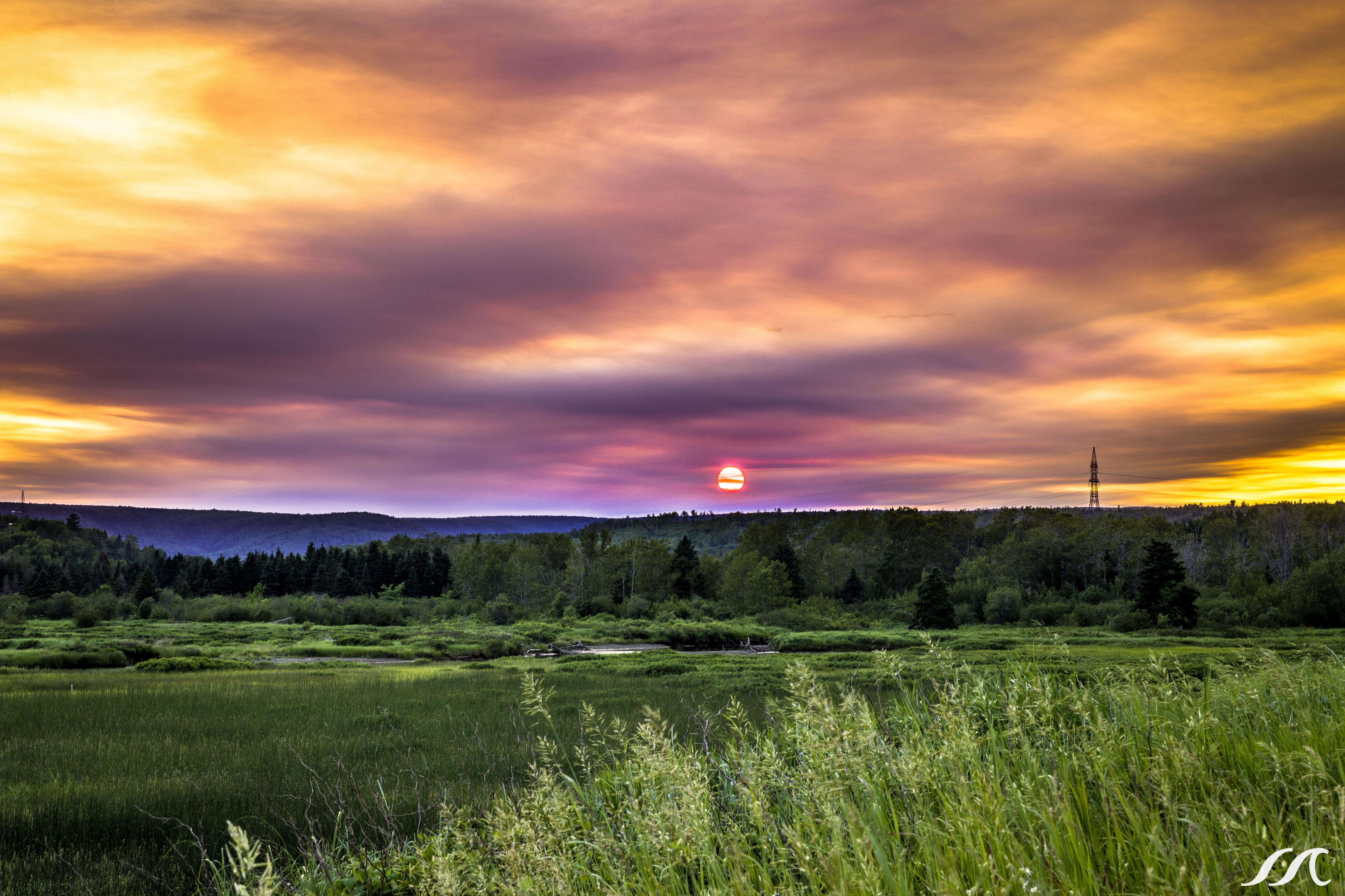
Port-daniel , Qc , sunset
Joyaux de la terre! Fruit of the earth!
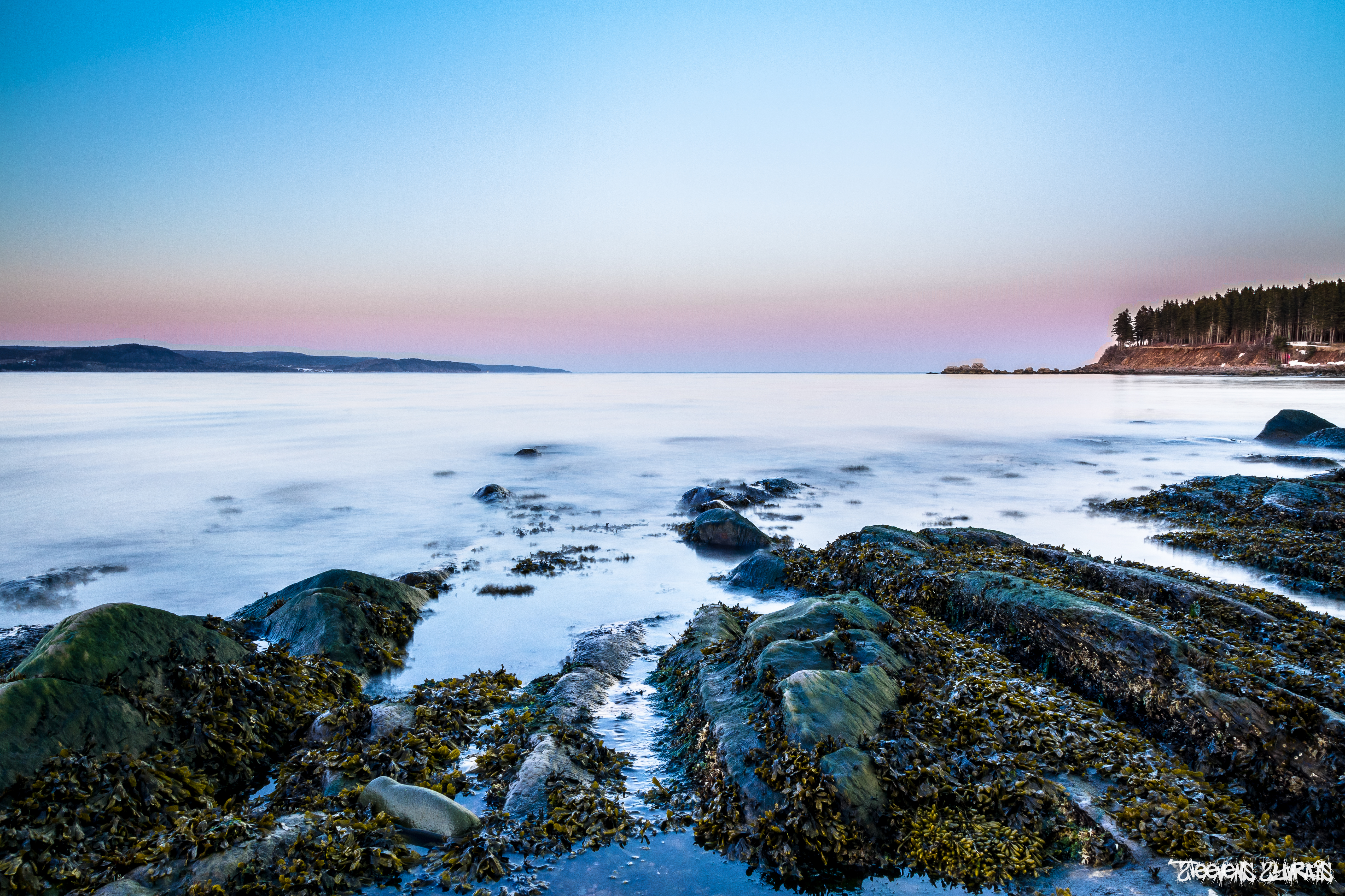
Perspective to sea
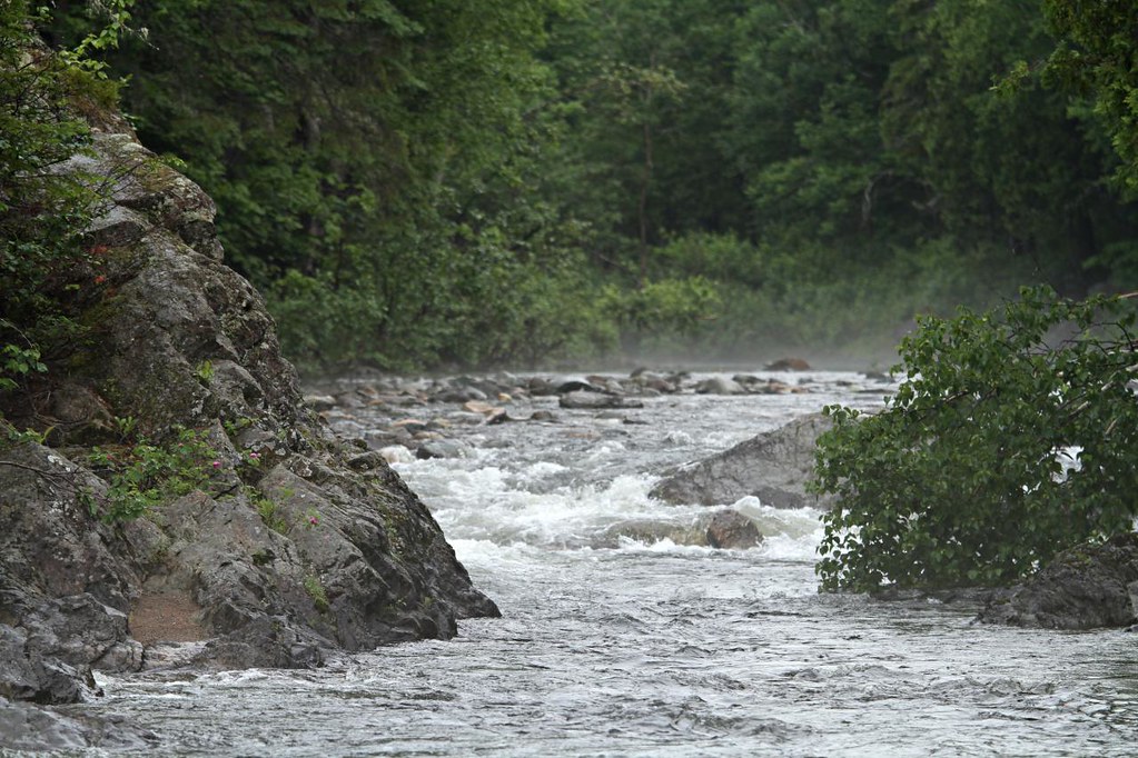
Rivière Port-Daniel
Topographic Map of 4e Rang, Shigawake, QC G0C 3C0, Canada
Find elevation by address:

Places near 4e Rang, Shigawake, QC G0C 3C0, Canada:
Shigawake
QC-, Saint-Godefroi, QC G0C, Canada
Shigawake
Saint-godefroi
Paspébiac-est
Hope
1 Er rang de Bugeaud, Paspébiac, QC G0C 2K0, Canada
Rue St Pie X, Rivière-Paspébiac, QC G0C 2S0, Canada
Paspébiac
123a
Sainte-germaine-de-l'anse-aux-gascons
New Carlisle
22 Rue de Vimy, New Carlisle, QC G0C 1Z0, Canada
New Carlisle
Gascons
15 QC-, Gascons, QC G0C 1P0, Canada
Route De L'Église
NB-, Anse-Bleue, NB E8N 2C9, Canada
Anse-bleue
Route Cox, Bonaventure, QC G0C 1E0, Canada
Recent Searches:
- Elevation of Holloway Ave, San Francisco, CA, USA
- Elevation of Norfolk, NY, USA
- Elevation of - San Marcos Pass Rd, Santa Barbara, CA, USA
- Elevation of th Pl SE, Issaquah, WA, USA
- Elevation of 82- D Rd, Captain Cook, HI, USA
- Elevation of Harlow CM20 2PR, UK
- Elevation of Shenyang Agricultural University, Dong Ling Lu, Shen He Qu, Shen Yang Shi, Liao Ning Sheng, China
- Elevation of Alpha Dr, Melbourne, FL, USA
- Elevation of Hiroshima University, 1-chōme-3-2 Kagamiyama, Higashihiroshima, Hiroshima -, Japan
- Elevation of Bernina Dr, Lake Arrowhead, CA, USA