Elevation of Sainte-Catherine, Sainte-Catherine, France
Location: France > Puy-de-dome > Sainte-catherine >
Longitude: 3.4742693
Latitude: 45.4512942
Elevation: 872m / 2861feet
Barometric Pressure: 91KPa
Elevation Map:
Satellite Map:
Related Photos:

Jamais sans mon beau chapeau !

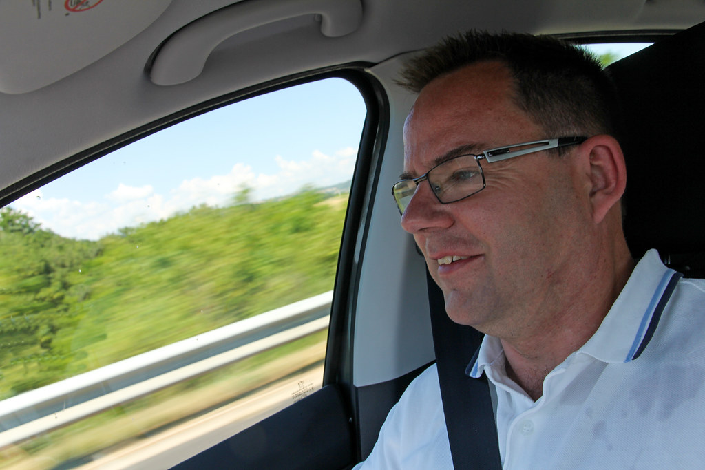
Lancia Delta Integrale HDR
Autoroute A75 "La Mérdienne" (France)
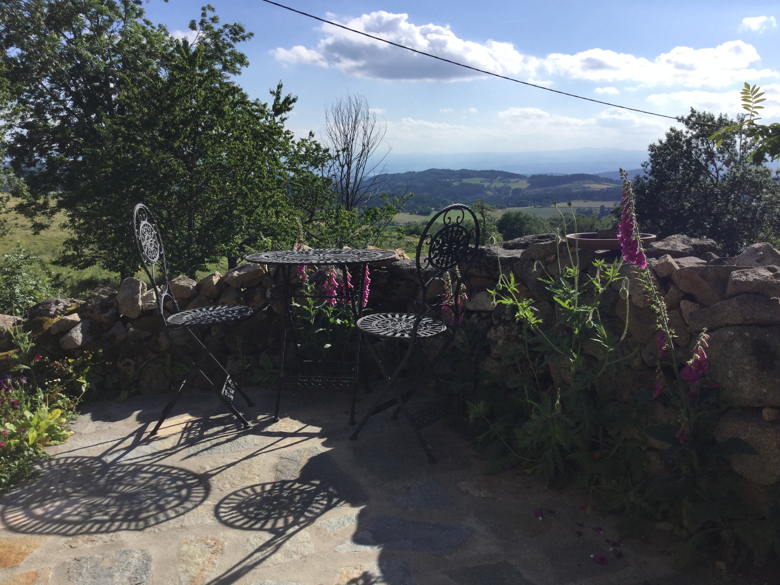
A place in the sun

Lancia Delta Integrale HDR

Champignons des bois
IMG_8130.JPG
IMG_8155.JPG

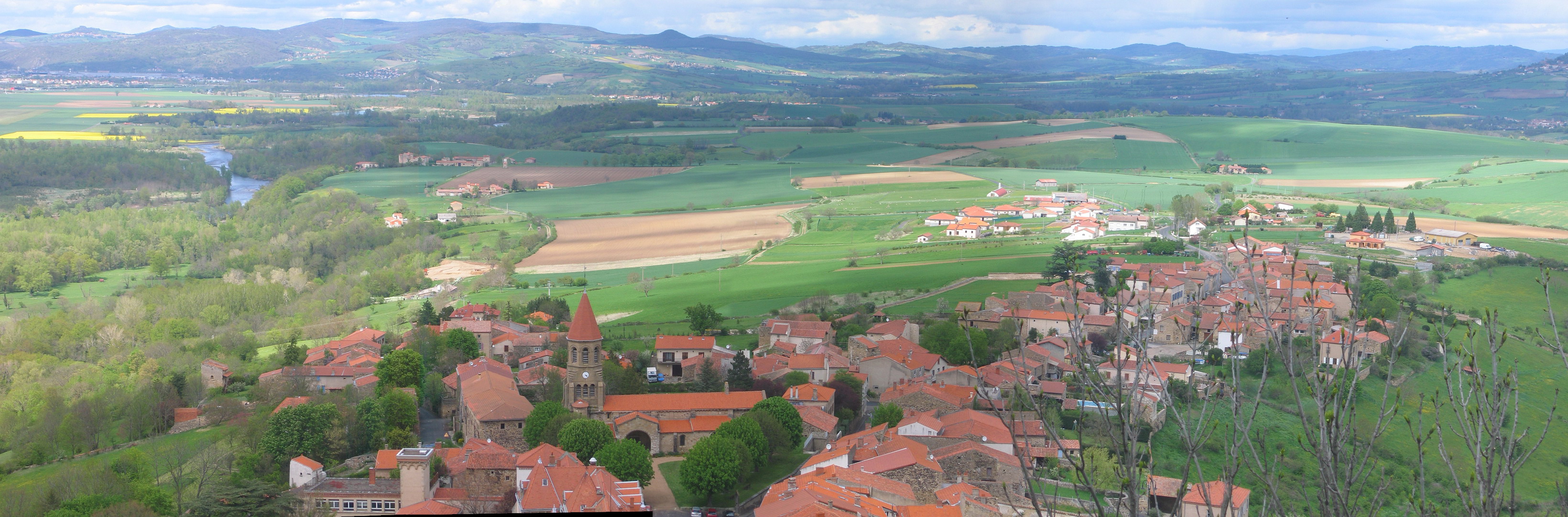
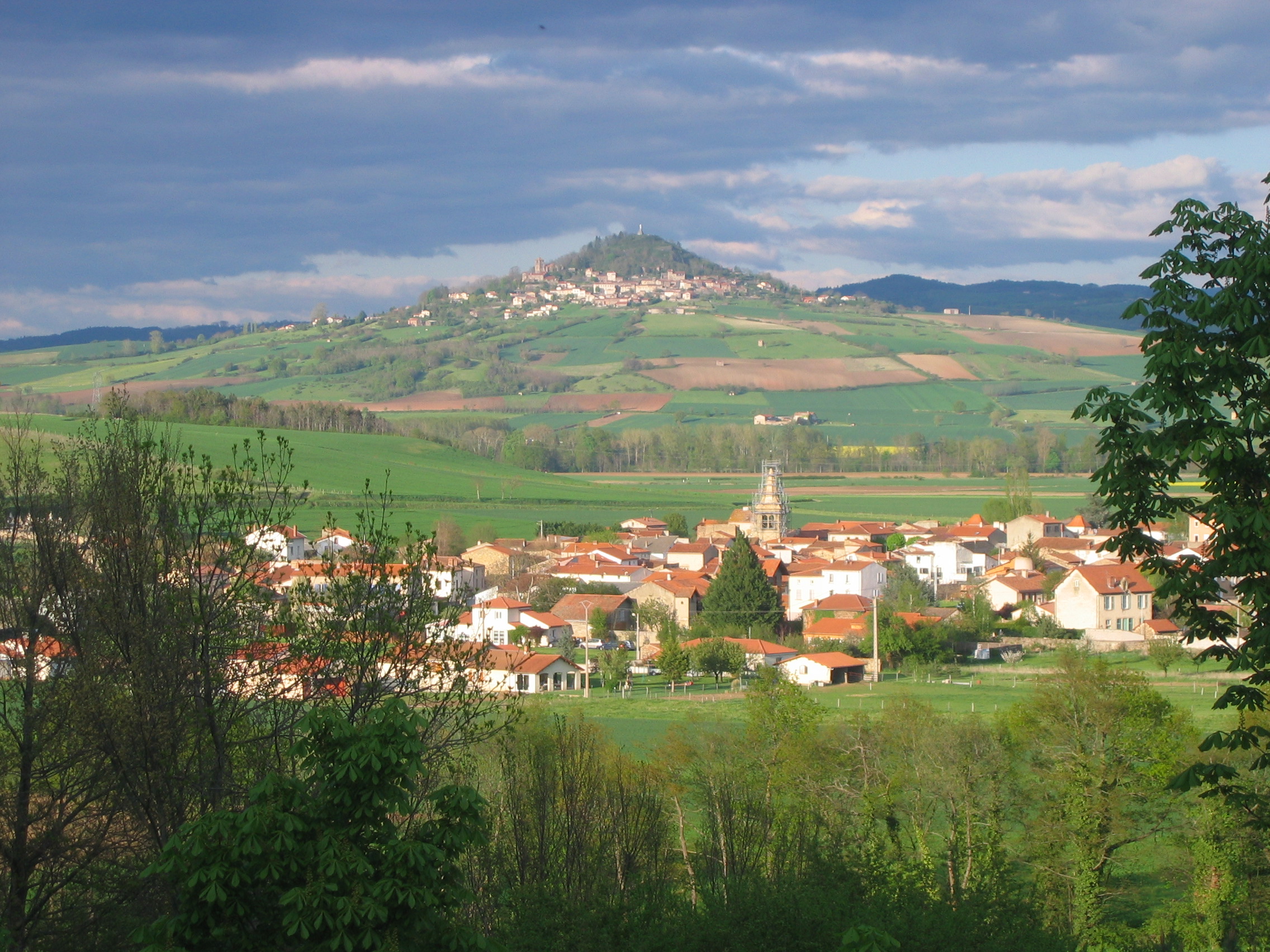
Le village d'Usson - A view of Usson village
IMG_8111.JPG
IMG_8126.JPG
IMG_8123.JPG
IMG_8108.JPG
IMG_8109.JPG
IMG_8146_pano.jpg
IMG_8156.JPG
IMG_8127.JPG
IMG_8106.JPG
IMG_8054.JPG
IMG_8185.JPG
IMG_8180_pano.jpg
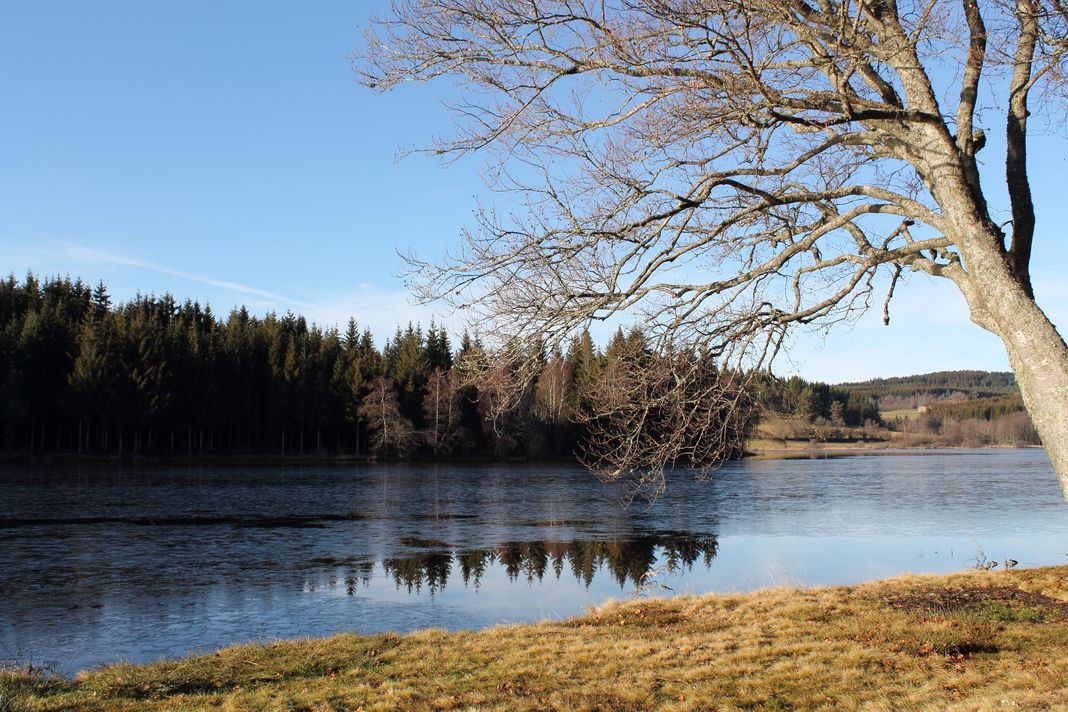
Etang de Marchaud
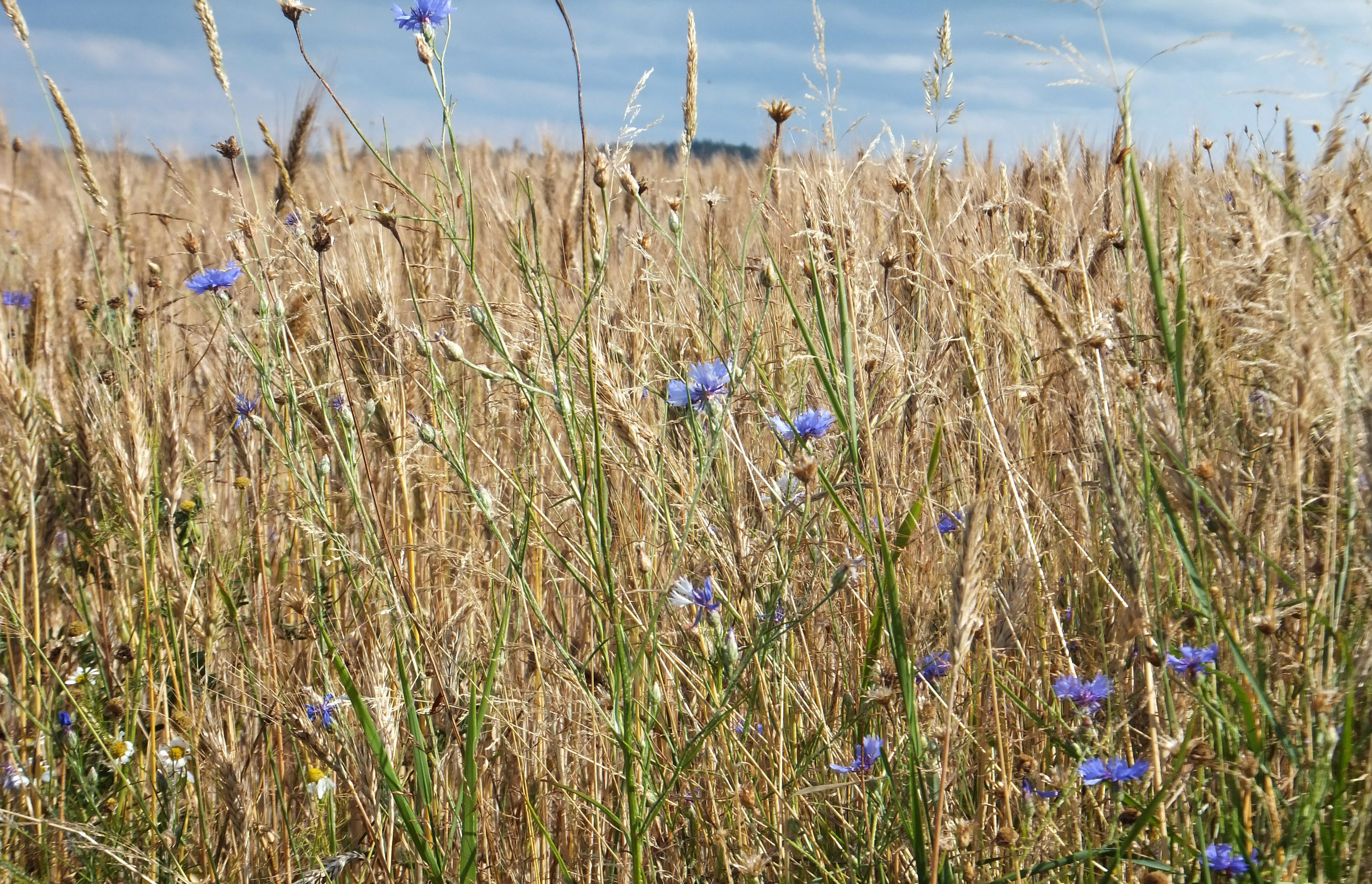
Chassignolles wheat field
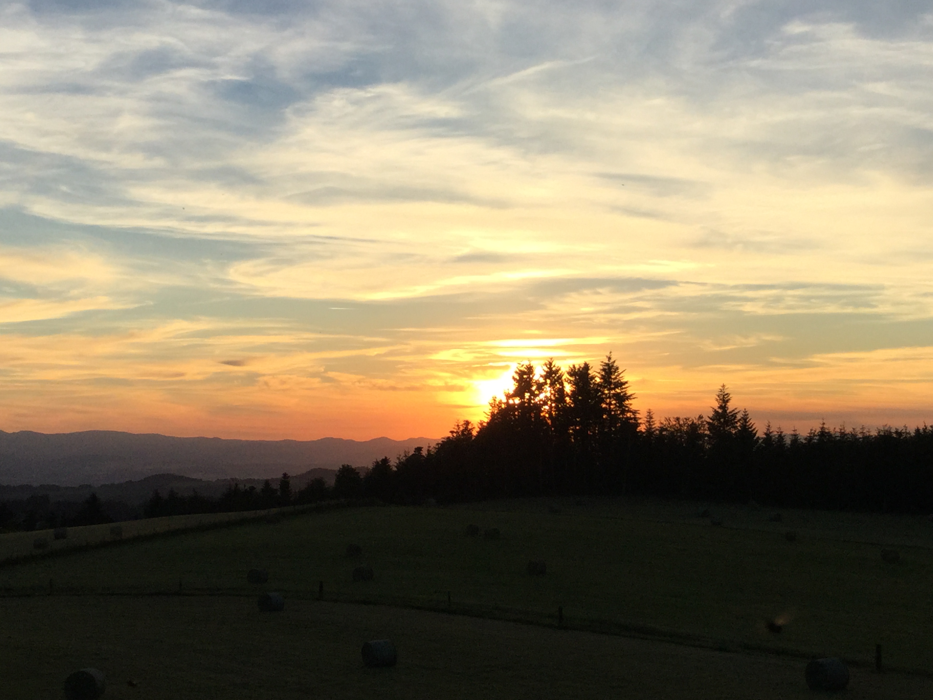
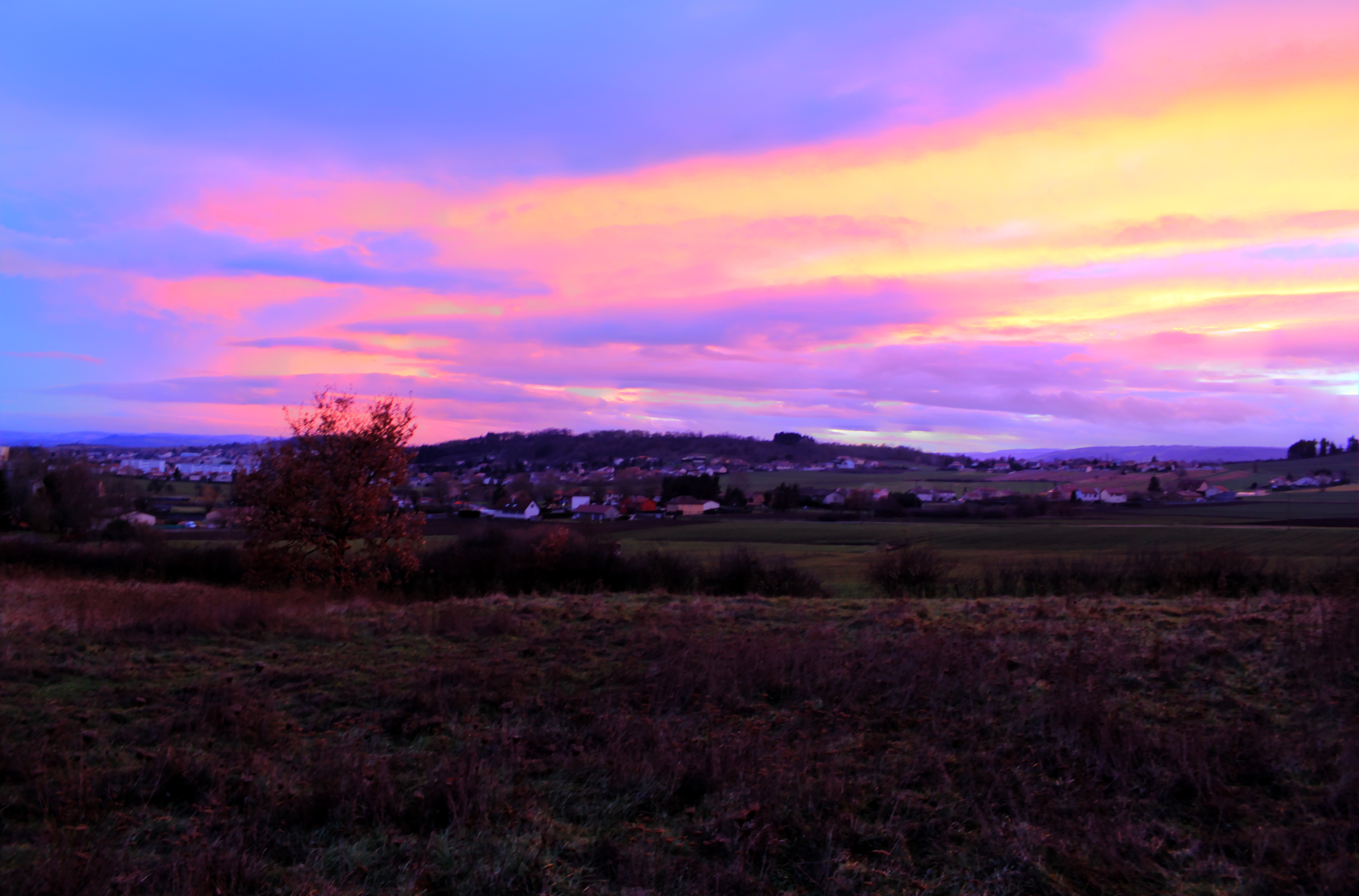
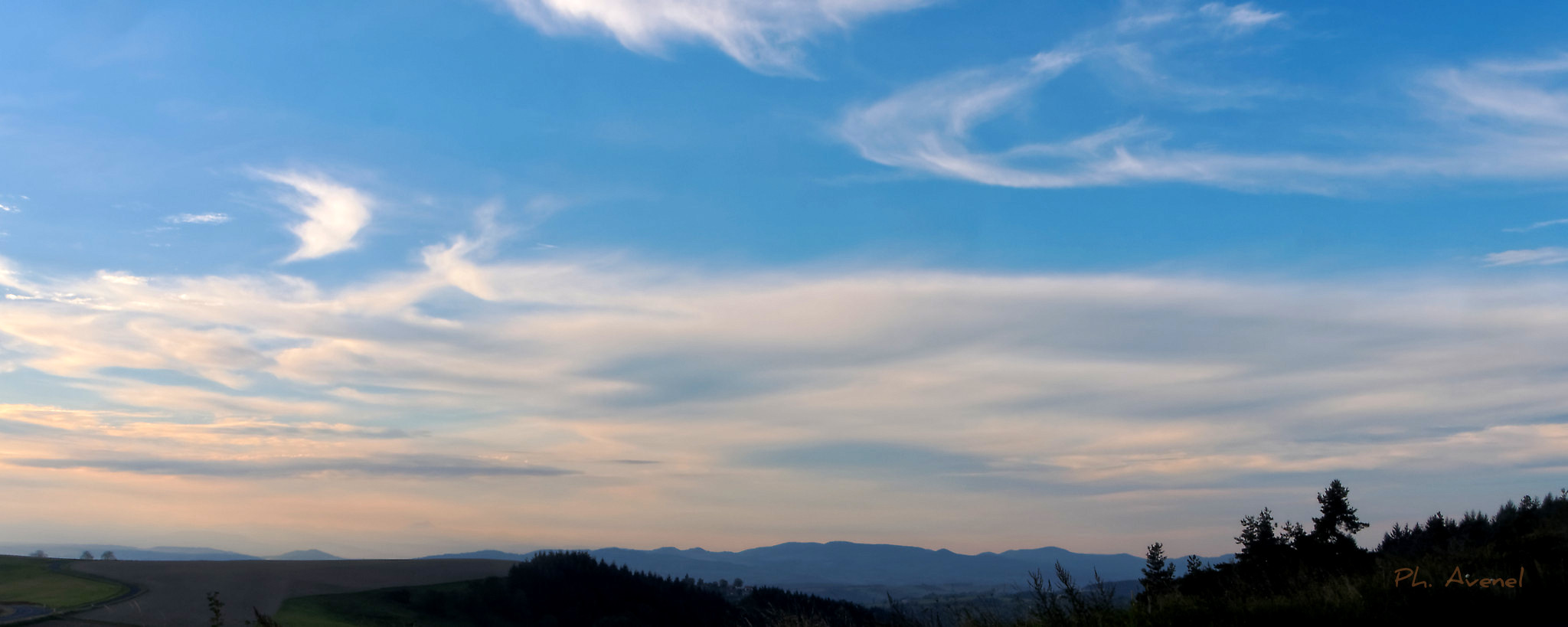
Sunset over the Auvergne
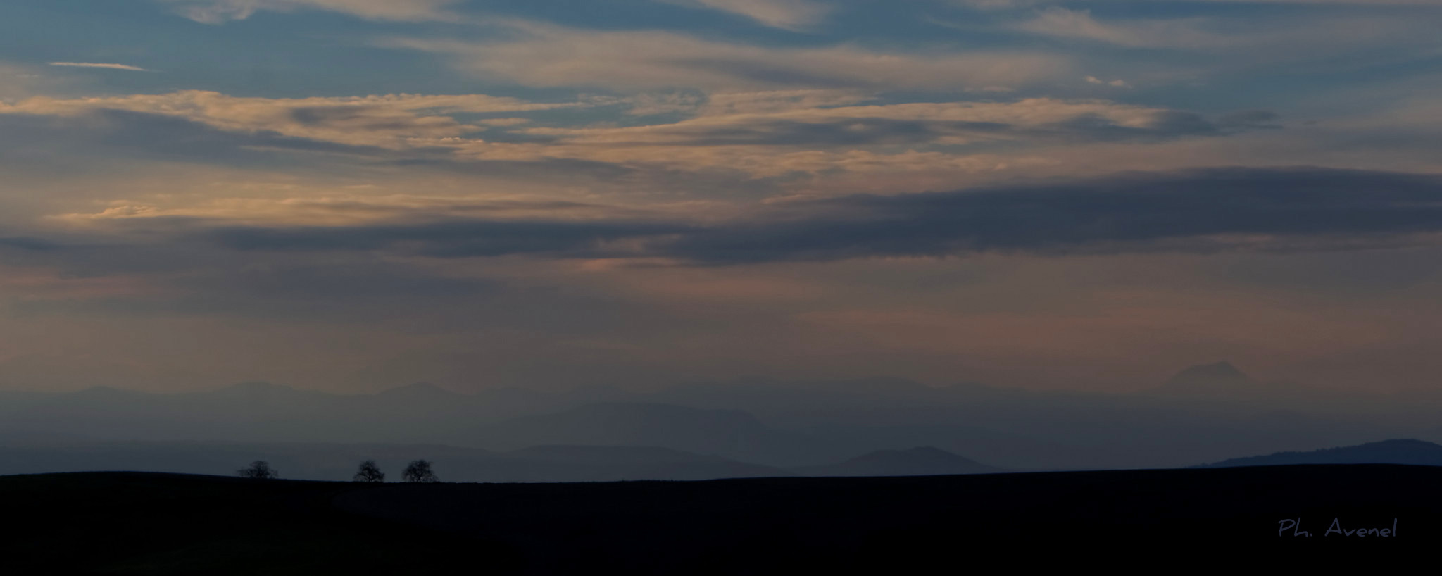
Ombre et lumière
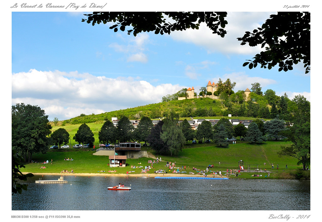
Le Vernet la Varenne

Le Sancy
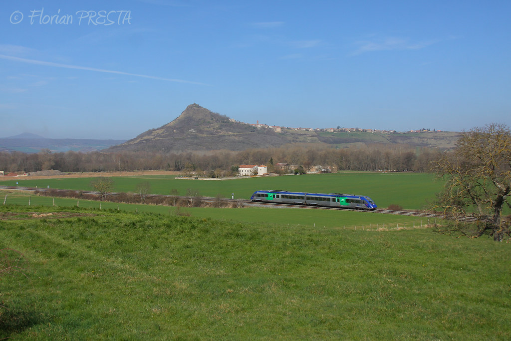
03/2014 - Beaulieu (FR-63) - SNCF X 72542 - TER 871209 (Clermont - Toulouse)

Les monts Dore

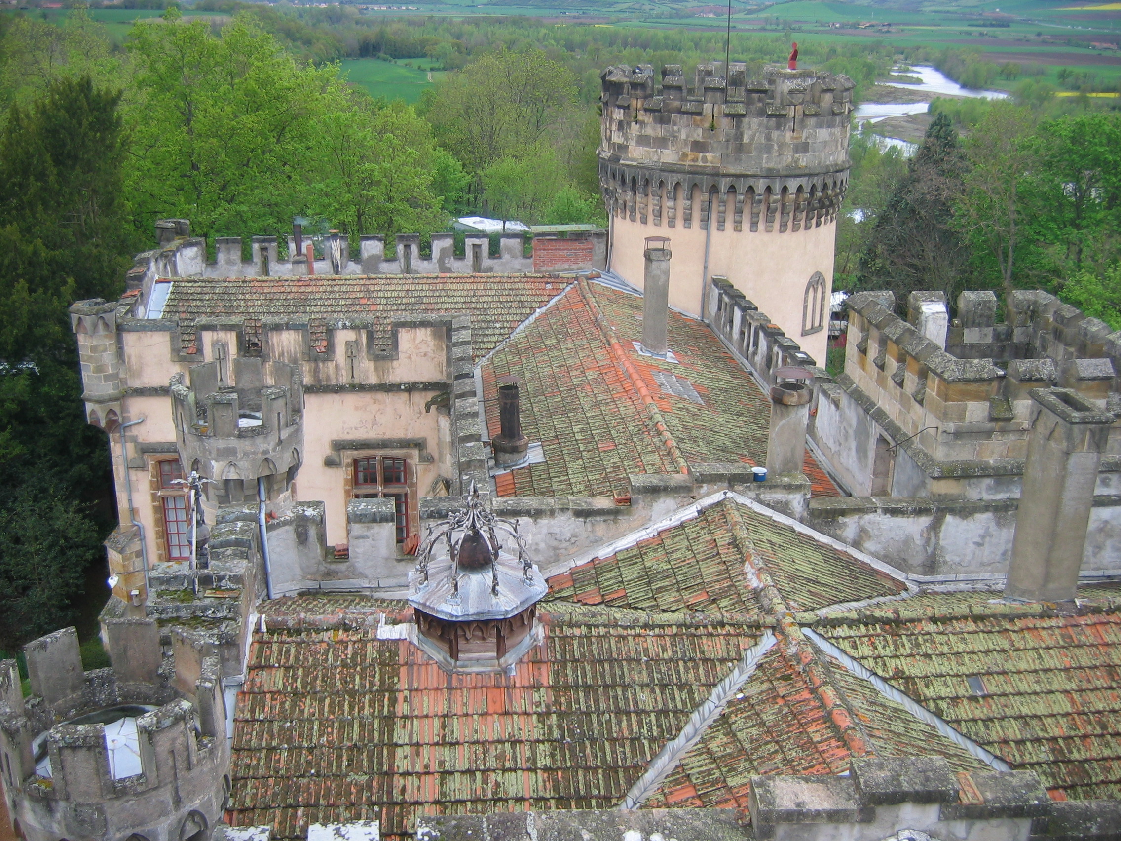
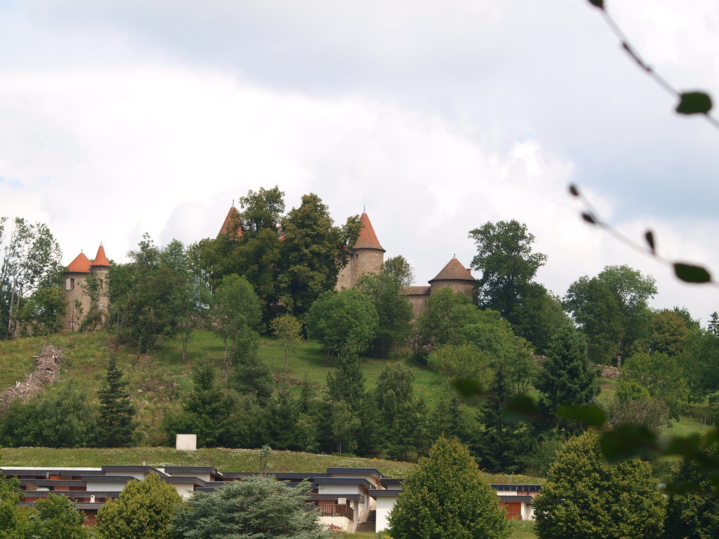
Le château de Montfort
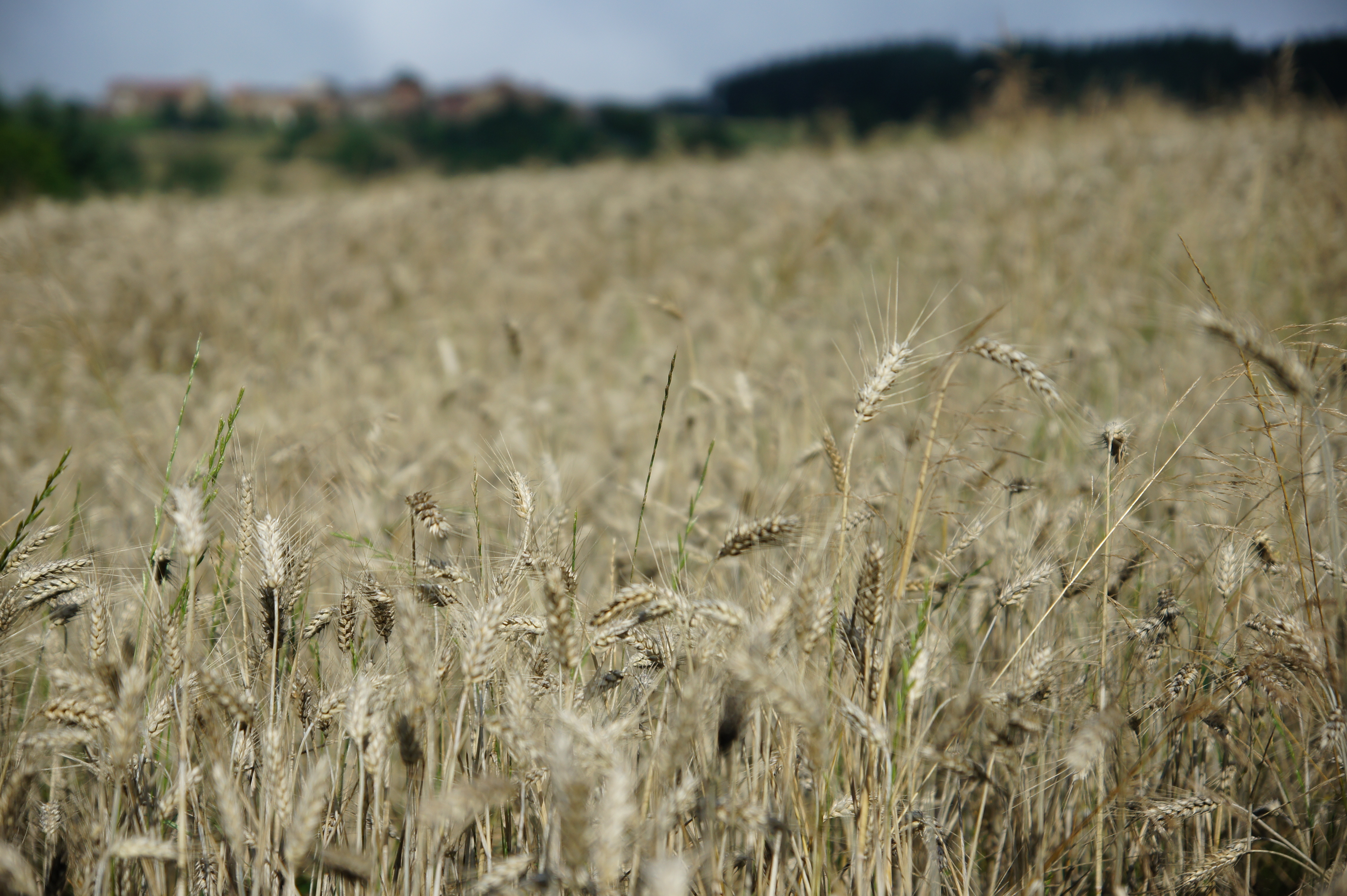
Champ de blé, Neyrolles
hdr or drug ?
coucher de soleil sur le Sancy et la chaîne des Puys
ITINERAIRE 8-20110623-058
Usson 20120505-IMG_6789
Stèle gallo-romaine, Auzat sur Allier
Les monts Dore

Morning ...
Les monts Dore
castel du vernet la varenne
Topographic Map of Sainte-Catherine, Sainte-Catherine, France
Find elevation by address:

Places near Sainte-Catherine, Sainte-Catherine, France:
Sainte-catherine
Egliseneuve, Égliseneuve-des-Liards, France
Égliseneuve-des-liards
Fournols
Le Moulin Rouge
Sauxillanges
12 À Viallard, Cunlhat, France
Cunlhat
Couteuges
D, Saint-Gervais-Sous-Meymont, France
Saint-gervais-sous-meymont
Ambert
Égliseneuve-près-billom
Auvergne
2 Le Mas, Égliseneuve-prés-Billom, France
Blassac
Parent
18 Place du Marthuret, Augerolles, France
Augerolles
19 Rue de la Chaux, Chadeleuf, France
Recent Searches:
- Elevation of Congressional Dr, Stevensville, MD, USA
- Elevation of Bellview Rd, McLean, VA, USA
- Elevation of Stage Island Rd, Chatham, MA, USA
- Elevation of Shibuya Scramble Crossing, 21 Udagawacho, Shibuya City, Tokyo -, Japan
- Elevation of Jadagoniai, Kaunas District Municipality, Lithuania
- Elevation of Pagonija rock, Kranto 7-oji g. 8"N, Kaunas, Lithuania
- Elevation of Co Rd 87, Jamestown, CO, USA
- Elevation of Tenjo, Cundinamarca, Colombia
- Elevation of Côte-des-Neiges, Montreal, QC H4A 3J6, Canada
- Elevation of Bobcat Dr, Helena, MT, USA