Elevation of Le Moulin Rouge, Fournols, France
Location: France > Puy-de-dome > Auvergne > Fournols >
Longitude: 3.5941237
Latitude: 45.522874
Elevation: 981m / 3218feet
Barometric Pressure: 90KPa
Elevation Map:
Satellite Map:
Related Photos:
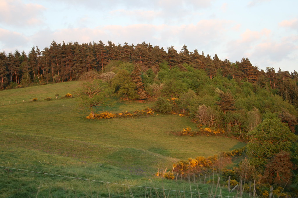
IMG_8010
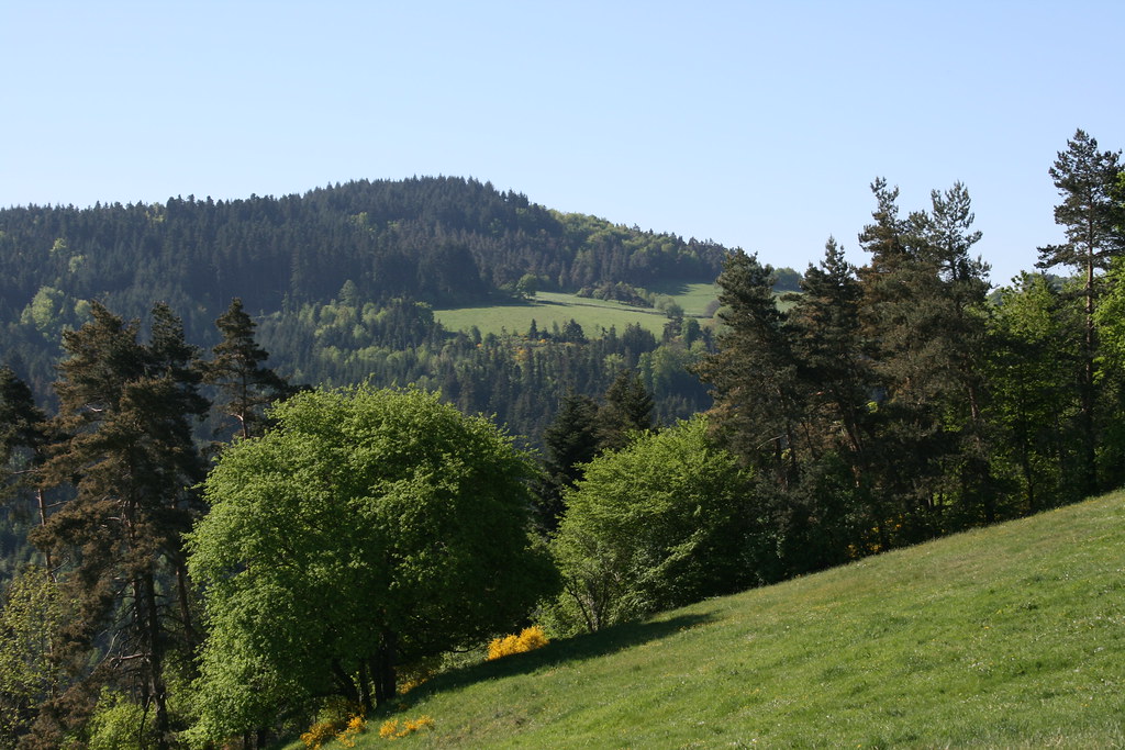
IMG_8016
Topographic Map of Le Moulin Rouge, Fournols, France
Find elevation by address:

Places near Le Moulin Rouge, Fournols, France:
Fournols
12 À Viallard, Cunlhat, France
Cunlhat
Sainte-catherine
Sainte-Catherine, Sainte-Catherine, France
Ambert
D, Saint-Gervais-Sous-Meymont, France
Saint-gervais-sous-meymont
Egliseneuve, Égliseneuve-des-Liards, France
Égliseneuve-des-liards
Richard De Bas
18 Place du Marthuret, Augerolles, France
Augerolles
Sauxillanges
Égliseneuve-près-billom
2 Le Mas, Égliseneuve-prés-Billom, France
Auvergne
Viscomtat
Craponne-sur-arzon
26 Rue du Marronnier, Peschadoires, France
Recent Searches:
- Elevation of Corso Fratelli Cairoli, 35, Macerata MC, Italy
- Elevation of Tallevast Rd, Sarasota, FL, USA
- Elevation of 4th St E, Sonoma, CA, USA
- Elevation of Black Hollow Rd, Pennsdale, PA, USA
- Elevation of Oakland Ave, Williamsport, PA, USA
- Elevation of Pedrógão Grande, Portugal
- Elevation of Klee Dr, Martinsburg, WV, USA
- Elevation of Via Roma, Pieranica CR, Italy
- Elevation of Tavkvetili Mountain, Georgia
- Elevation of Hartfords Bluff Cir, Mt Pleasant, SC, USA