Elevation of Sainte-Catherine, France
Location: France > Puy-de-dome >
Longitude: 3.474964
Latitude: 45.450593
Elevation: 874m / 2867feet
Barometric Pressure: 91KPa
Elevation Map:
Satellite Map:
Related Photos:

Jamais sans mon beau chapeau !

Lancia Delta Integrale HDR

Lancia Delta Integrale HDR

Champignons des bois
IMG_8130.JPG
IMG_8155.JPG

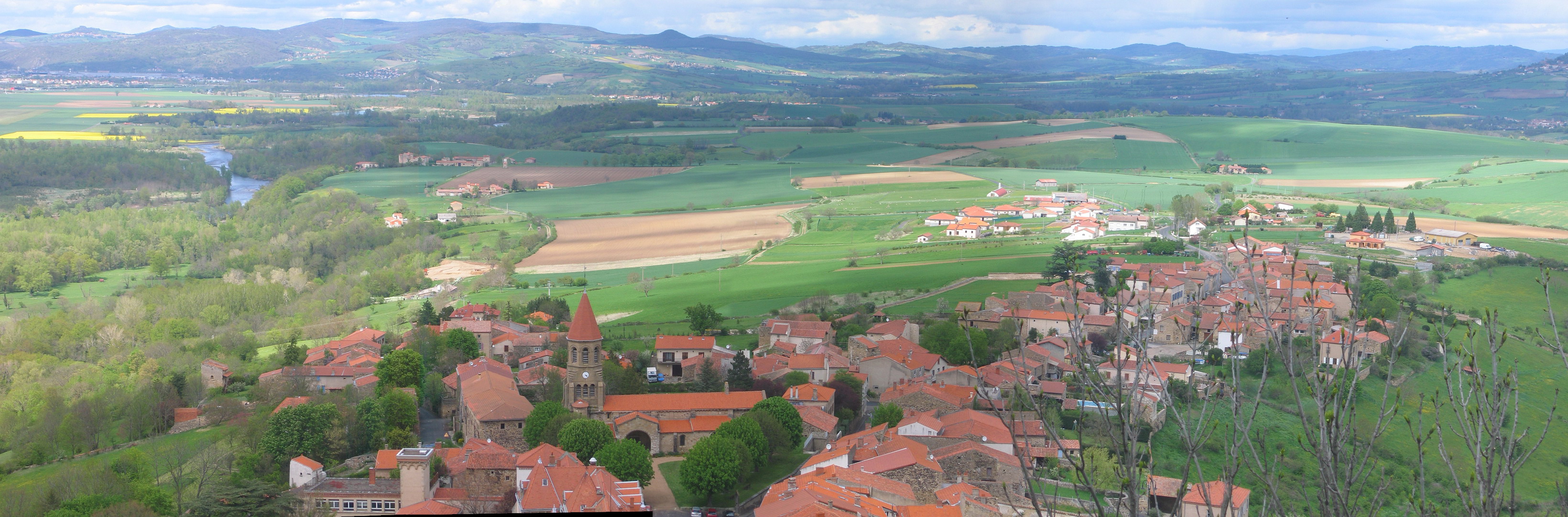
Le village d'Usson - A view of Usson village
Autoroute A75 "La Mérdienne" (France)
IMG_8126.JPG
IMG_8123.JPG
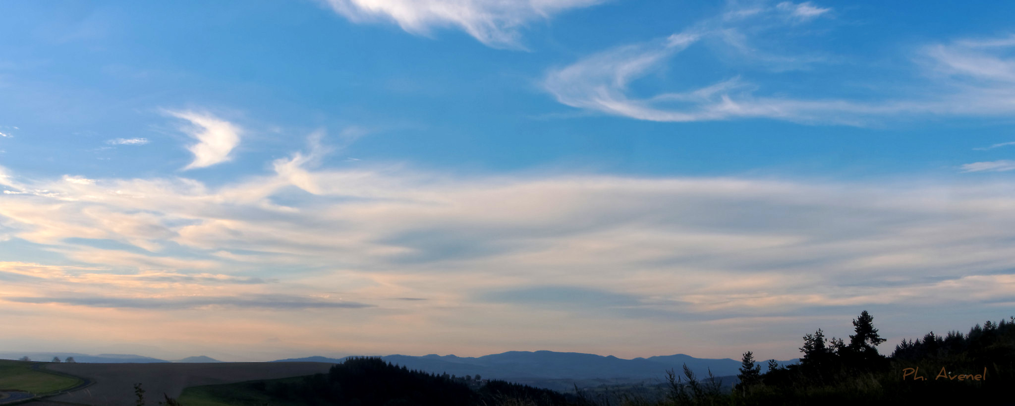
IMG_8146_pano.jpg
IMG_8156.JPG
IMG_8127.JPG
IMG_8185.JPG
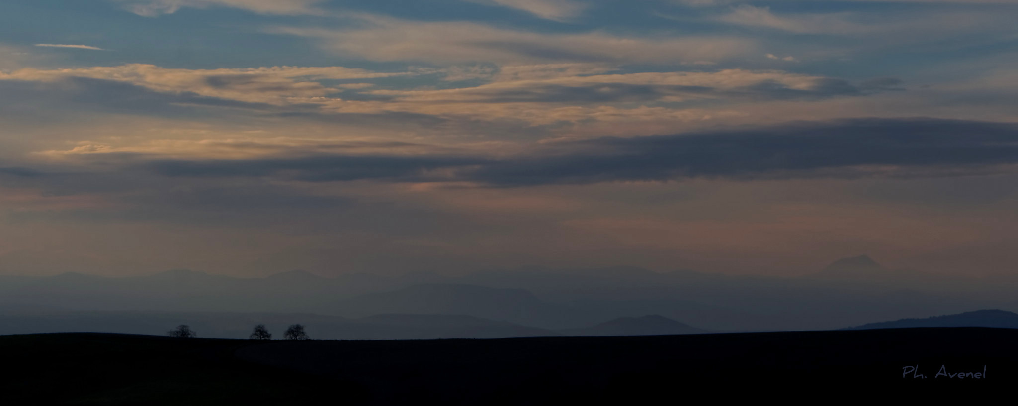
IMG_8180_pano.jpg
IMG_8181.JPG
IMG_8160.JPG
IMG_8158.JPG
IMG_8170.JPG
IMG_8184.JPG

IMG_8183.JPG
Ombre et lumière
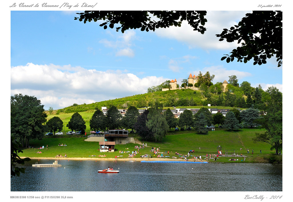
Le Vernet la Varenne

Le Sancy
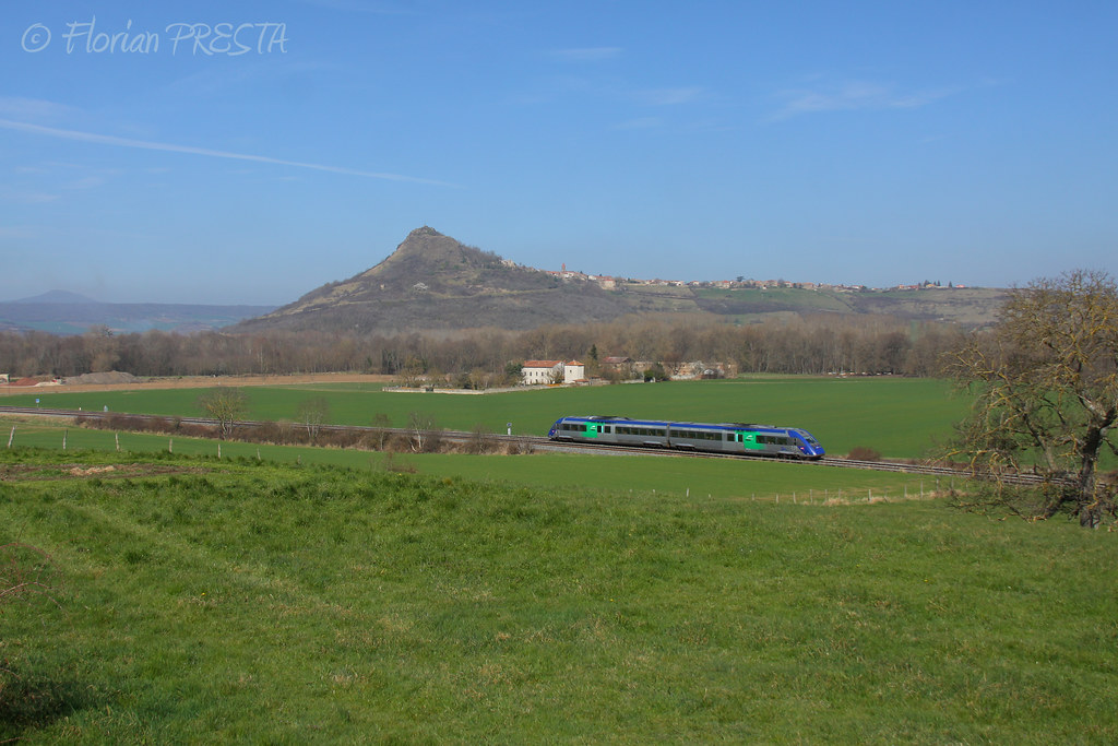
03/2014 - Beaulieu (FR-63) - SNCF X 72542 - TER 871209 (Clermont - Toulouse)

Les monts Dore

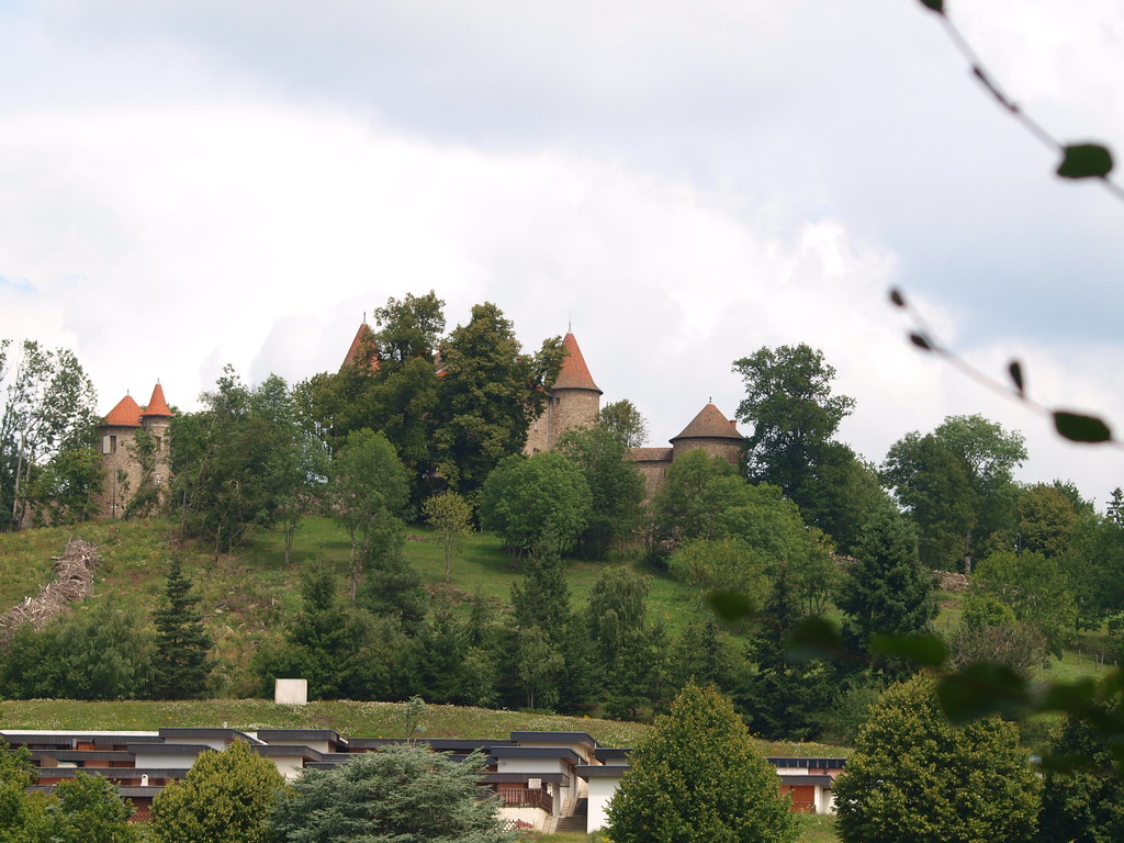
Le château de Montfort
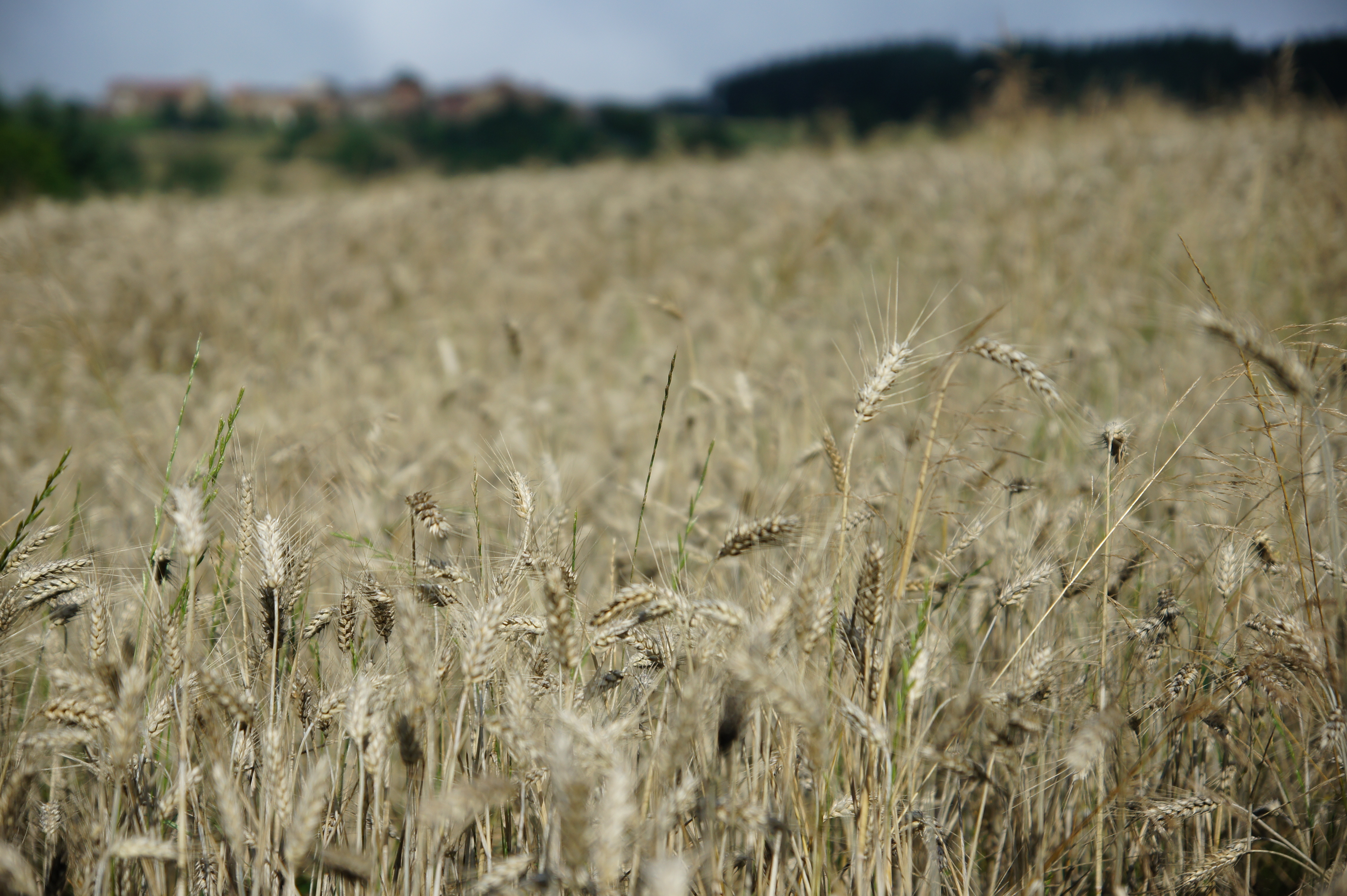
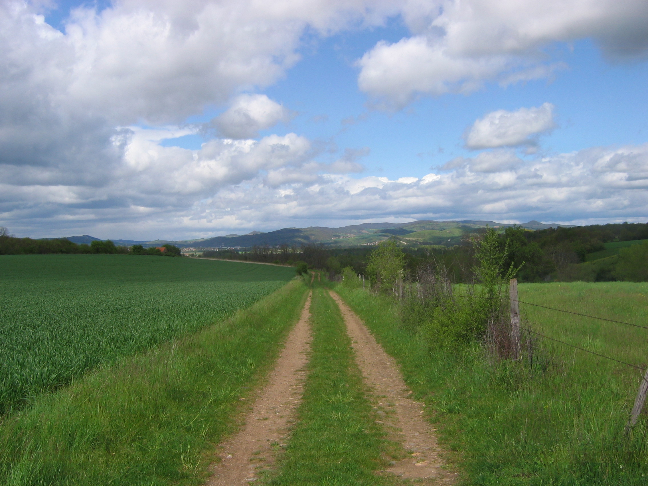
Champ de blé, Neyrolles
hdr or drug ?
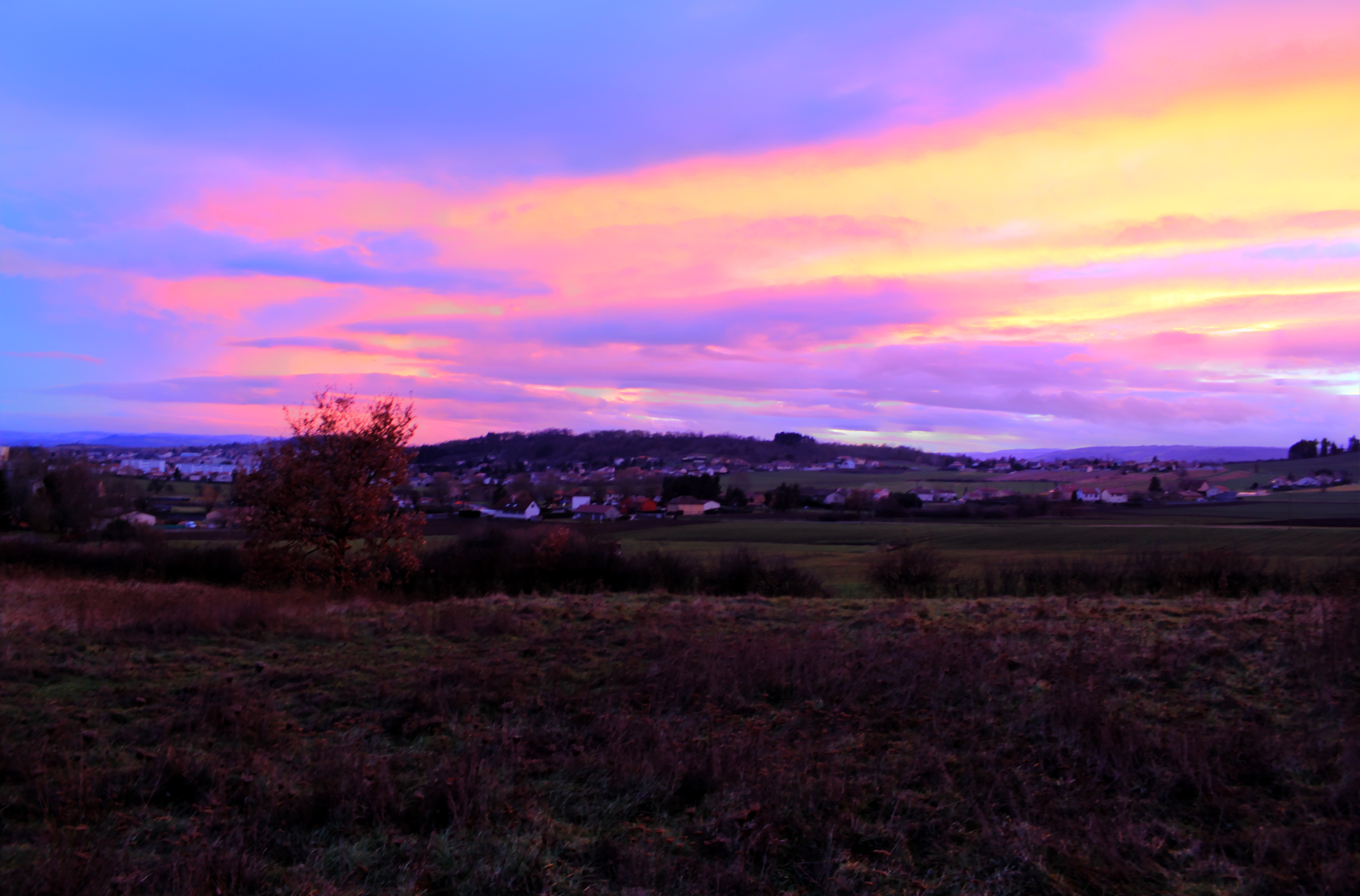
coucher de soleil sur le Sancy et la chaîne des Puys
ITINERAIRE 8-20110623-058
Etang de Marchaud
Usson 20120505-IMG_6789
Stèle gallo-romaine, Auzat sur Allier
Les monts Dore

Morning ...
Les monts Dore
castel du vernet la varenne
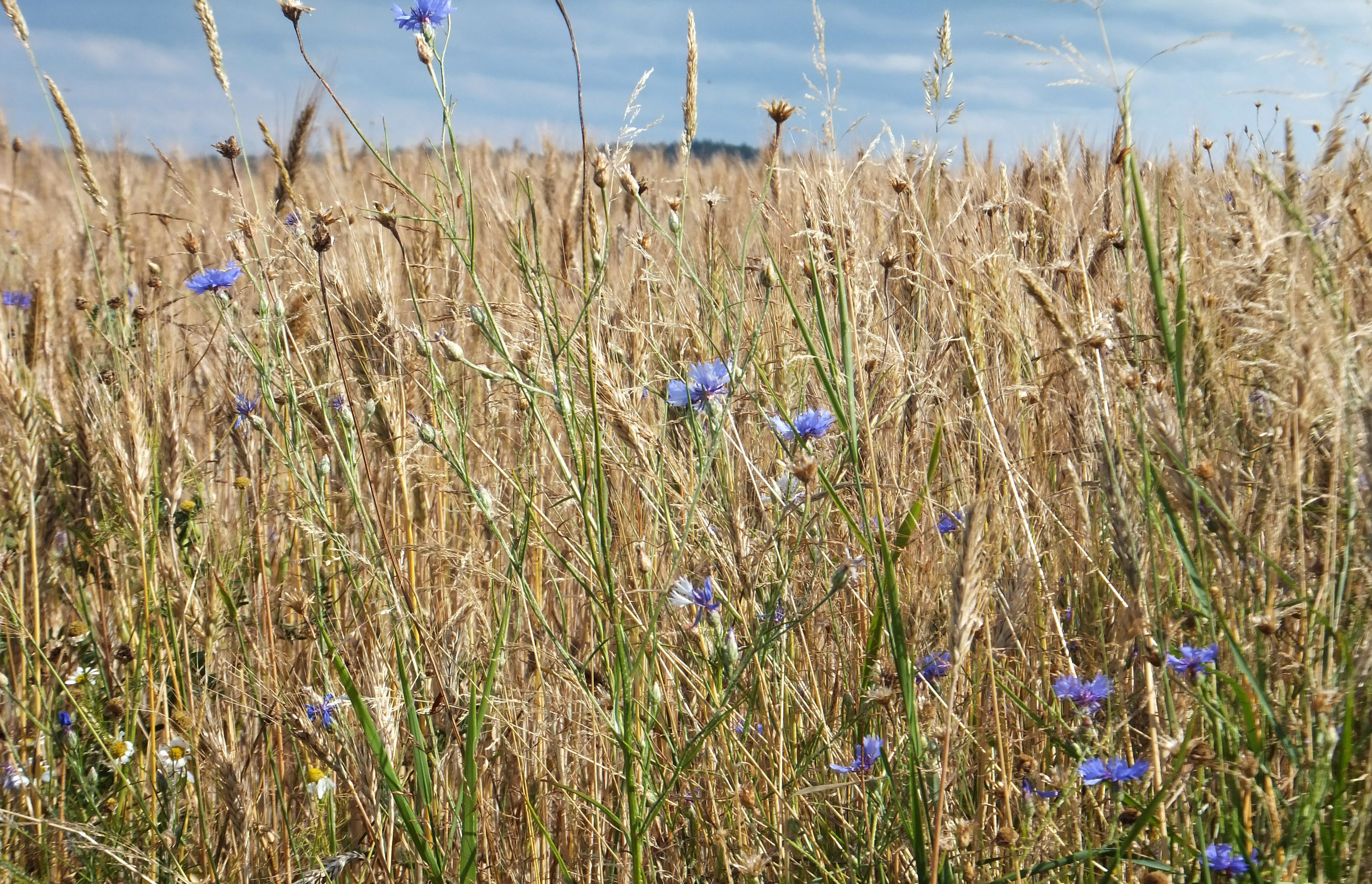
Chassignolles wheat field
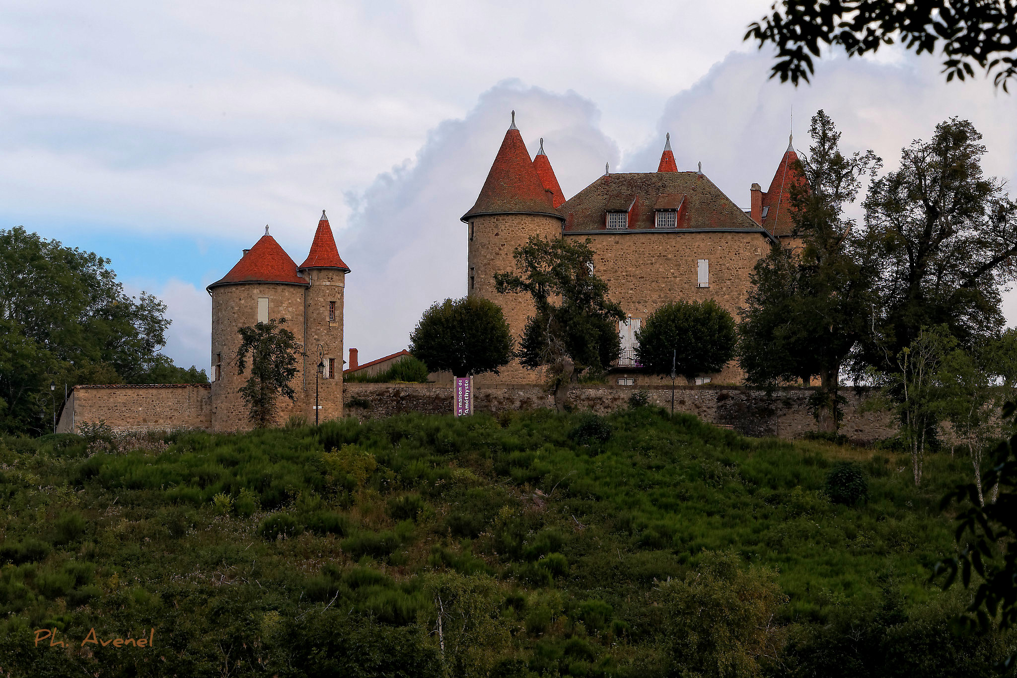
Le château de Montfort
Vue d'Usson
Topographic Map of Sainte-Catherine, France
Find elevation by address:

Places in Sainte-Catherine, France:
Places near Sainte-Catherine, France:
Sainte-Catherine, Sainte-Catherine, France
Egliseneuve, Égliseneuve-des-Liards, France
Égliseneuve-des-liards
Fournols
Le Moulin Rouge
Sauxillanges
12 À Viallard, Cunlhat, France
Cunlhat
Couteuges
D, Saint-Gervais-Sous-Meymont, France
Saint-gervais-sous-meymont
Ambert
Égliseneuve-près-billom
Auvergne
Blassac
2 Le Mas, Égliseneuve-prés-Billom, France
Parent
18 Place du Marthuret, Augerolles, France
Augerolles
19 Rue de la Chaux, Chadeleuf, France
Recent Searches:
- Elevation of W Granada St, Tampa, FL, USA
- Elevation of Pykes Down, Ivybridge PL21 0BY, UK
- Elevation of Jalan Senandin, Lutong, Miri, Sarawak, Malaysia
- Elevation of Bilohirs'k
- Elevation of 30 Oak Lawn Dr, Barkhamsted, CT, USA
- Elevation of Luther Road, Luther Rd, Auburn, CA, USA
- Elevation of Unnamed Road, Respublika Severnaya Osetiya — Alaniya, Russia
- Elevation of Verkhny Fiagdon, North Ossetia–Alania Republic, Russia
- Elevation of F. Viola Hiway, San Rafael, Bulacan, Philippines
- Elevation of Herbage Dr, Gulfport, MS, USA