Elevation of Saint Regis Falls, St Regis Falls, NY, USA
Location: United States > New York > Franklin County > Waverly >
Longitude: -74.544896
Latitude: 44.6739468
Elevation: 387m / 1270feet
Barometric Pressure: 97KPa
Elevation Map:
Satellite Map:
Related Photos:
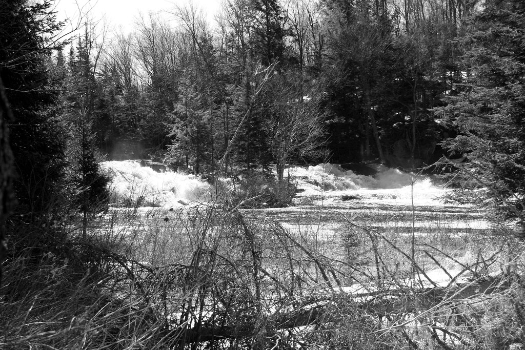
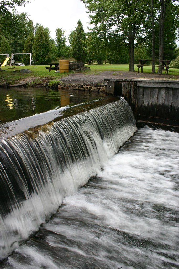
Everton Falls

Clouds over the High-Peaks
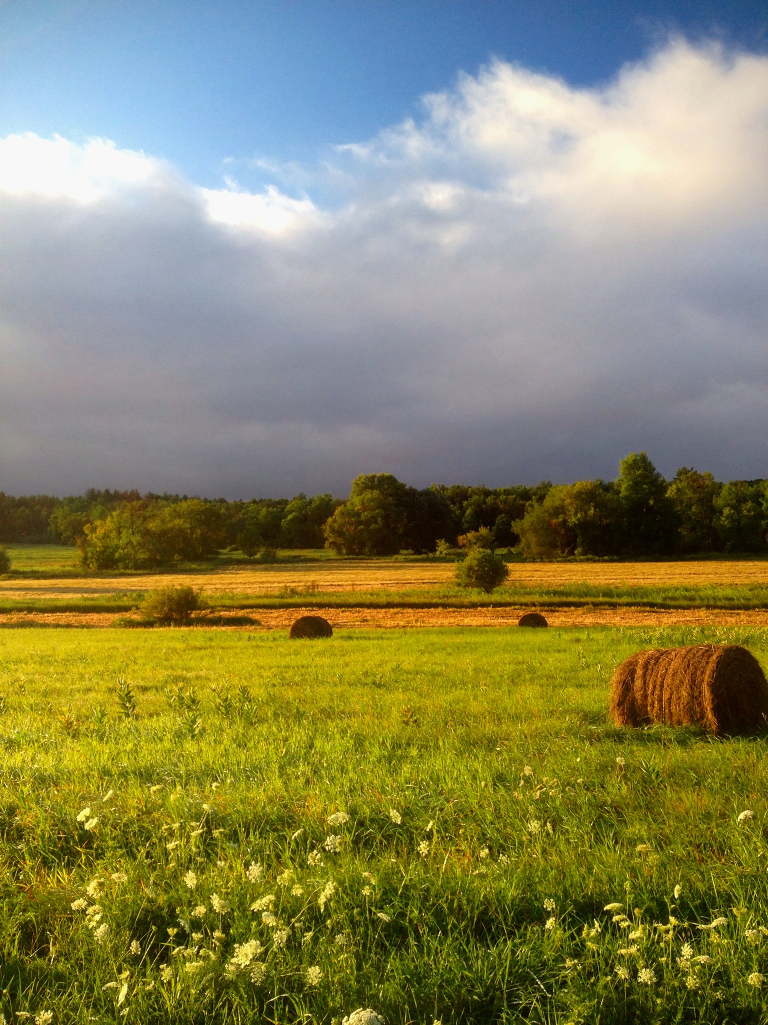
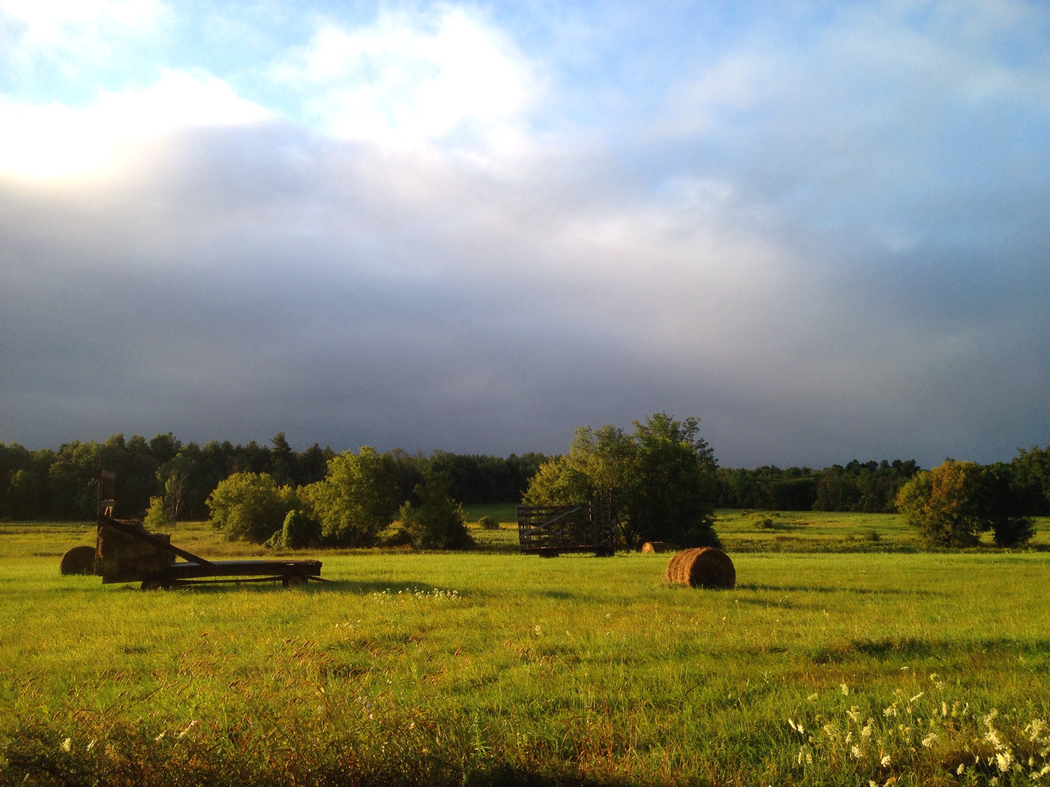
North Country hay field after the morning rain
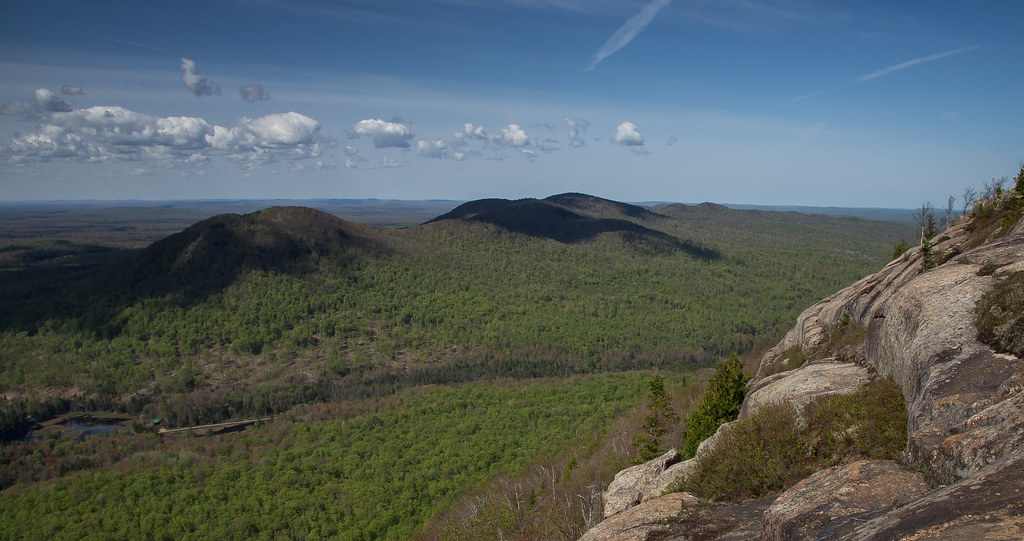
West Mountain
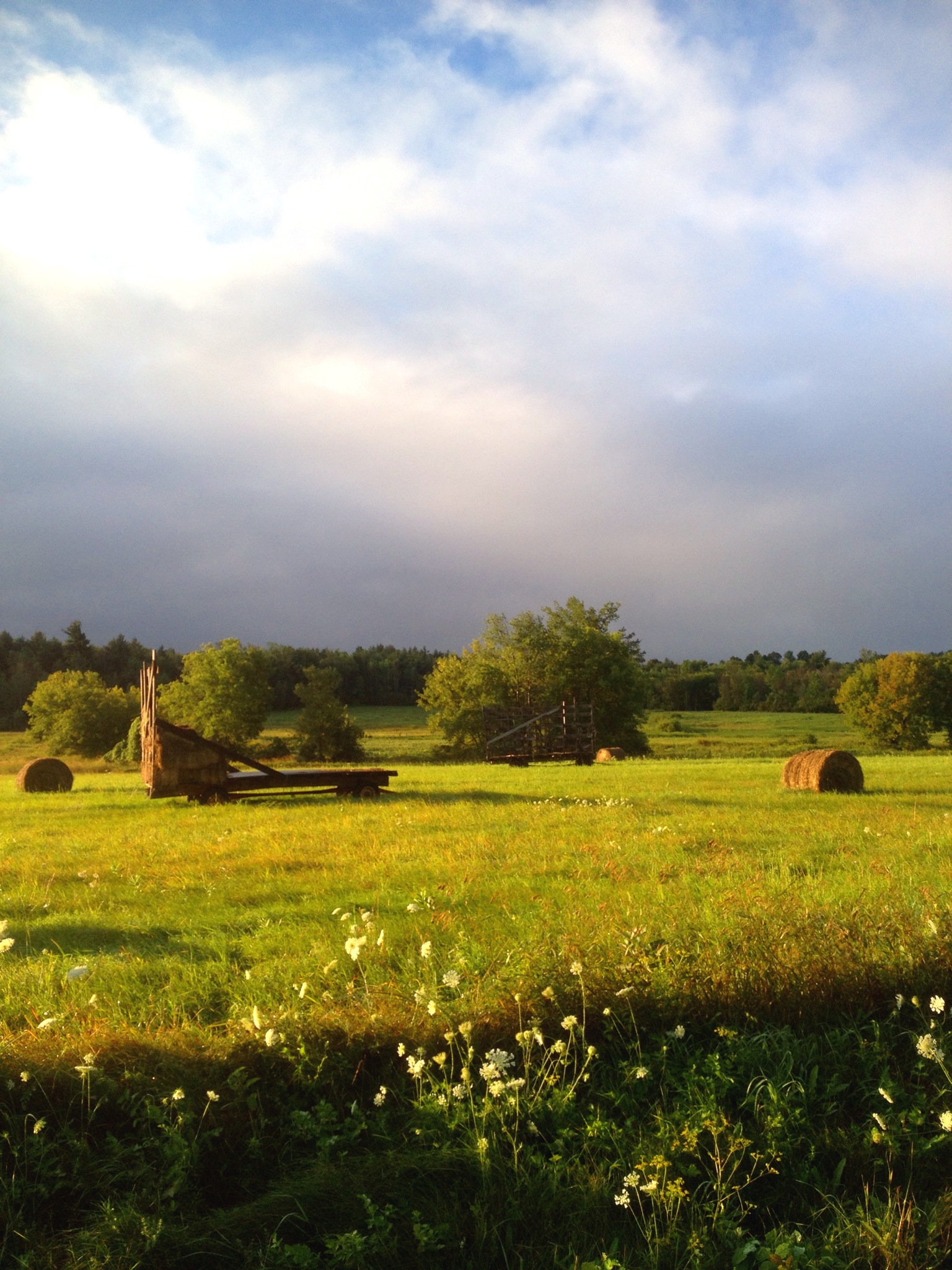
haying in the North Country

Deer River

West Mountain

Deer River
North Country
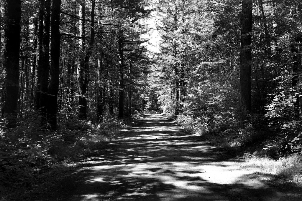
Road At Deer River

bacon/freud
2012-12-11_10-51-37_745
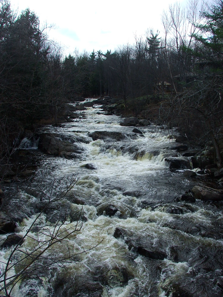
St. Regis River
Eggleston Park, Skerry, NY
Still swimming

Tonight. #NNY #nnyskies #homelove
Topographic Map of Saint Regis Falls, St Regis Falls, NY, USA
Find elevation by address:

Places in Saint Regis Falls, St Regis Falls, NY, USA:
Places near Saint Regis Falls, St Regis Falls, NY, USA:
Campsite Road
1756 S Main St
Willow Street
Dickinson Center Baptist Church
Dickinson Center
Dickinson Center
Cemetery Road
Dickinson
Township 7 Brewing Co
Hazen Rd, Brushton, NY, USA
Nicholville
Water St, North Lawrence, NY, USA
Moira
Hopkinton
15 Church St, Nicholville, NY, USA
Lawrence
Mcewen Rd, North Lawrence, NY, USA
North Lawrence
Jed S Automobile
Buckton Road
Recent Searches:
- Elevation of Congressional Dr, Stevensville, MD, USA
- Elevation of Bellview Rd, McLean, VA, USA
- Elevation of Stage Island Rd, Chatham, MA, USA
- Elevation of Shibuya Scramble Crossing, 21 Udagawacho, Shibuya City, Tokyo -, Japan
- Elevation of Jadagoniai, Kaunas District Municipality, Lithuania
- Elevation of Pagonija rock, Kranto 7-oji g. 8"N, Kaunas, Lithuania
- Elevation of Co Rd 87, Jamestown, CO, USA
- Elevation of Tenjo, Cundinamarca, Colombia
- Elevation of Côte-des-Neiges, Montreal, QC H4A 3J6, Canada
- Elevation of Bobcat Dr, Helena, MT, USA