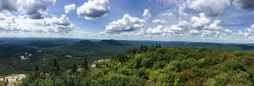
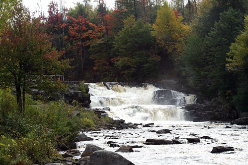
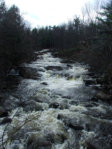
Elevation of Campsite Road, Campsite Rd, Waverly, NY, USA
Location: United States > New York > Franklin County > Waverly > Saint Regis Falls >
Longitude: -74.550682
Latitude: 44.67441
Elevation: 367m / 1204feet
Barometric Pressure: 97KPa
Related Photos:
Topographic Map of Campsite Road, Campsite Rd, Waverly, NY, USA
Find elevation by address:

Places near Campsite Road, Campsite Rd, Waverly, NY, USA:
Saint Regis Falls
1756 S Main St
Willow Street
Dickinson Center Baptist Church
Dickinson Center
Dickinson Center
Cemetery Road
Township 7 Brewing Co
Dickinson
Hazen Rd, Brushton, NY, USA
Nicholville
Water St, North Lawrence, NY, USA
Moira
Hopkinton
15 Church St, Nicholville, NY, USA
Lawrence
Mcewen Rd, North Lawrence, NY, USA
North Lawrence
Jed S Automobile
Buckton Road
Recent Searches:
- Elevation of Laurel Rd, Townsend, TN, USA
- Elevation of 3 Nestling Wood Dr, Long Valley, NJ, USA
- Elevation of Ilungu, Tanzania
- Elevation of Yellow Springs Road, Yellow Springs Rd, Chester Springs, PA, USA
- Elevation of Rēzekne Municipality, Latvia
- Elevation of Plikpūrmaļi, Vērēmi Parish, Rēzekne Municipality, LV-, Latvia
- Elevation of 2 Henschke Ct, Caboolture QLD, Australia
- Elevation of Redondo Ave, Long Beach, CA, USA
- Elevation of Sadovaya Ulitsa, 20, Rezh, Sverdlovskaya oblast', Russia
- Elevation of Ulitsa Kalinina, 79, Rezh, Sverdlovskaya oblast', Russia
