Elevation of Dickinson Center, NY, USA
Location: United States > New York > Franklin County >
Longitude: -74.552858
Latitude: 44.7171399
Elevation: 289m / 948feet
Barometric Pressure: 98KPa
Elevation Map:
Satellite Map:
Related Photos:
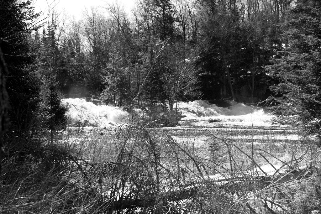
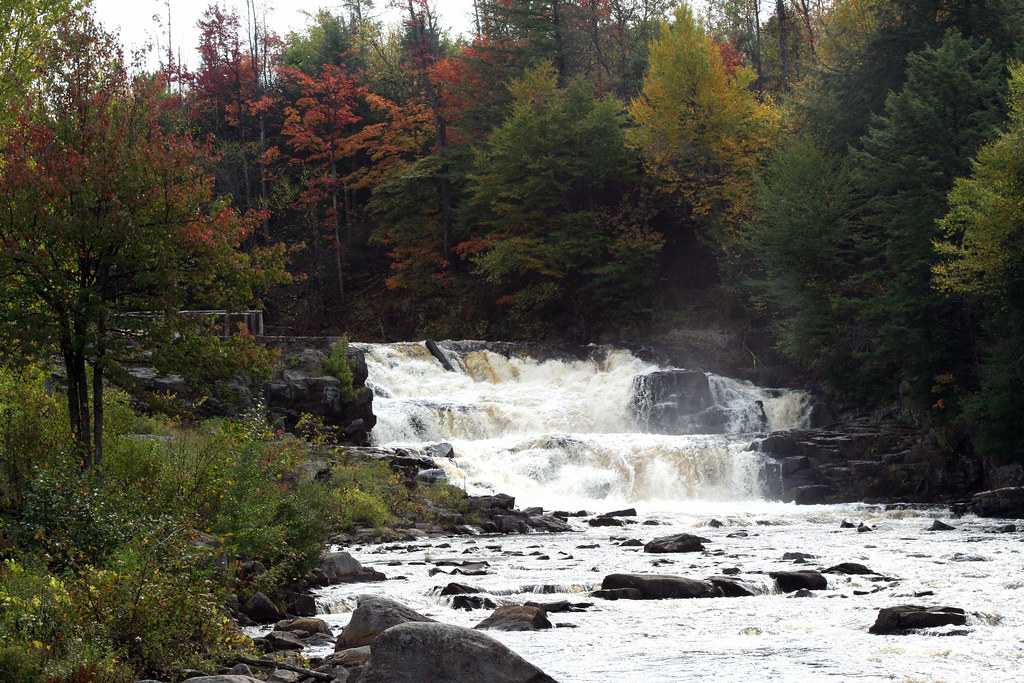
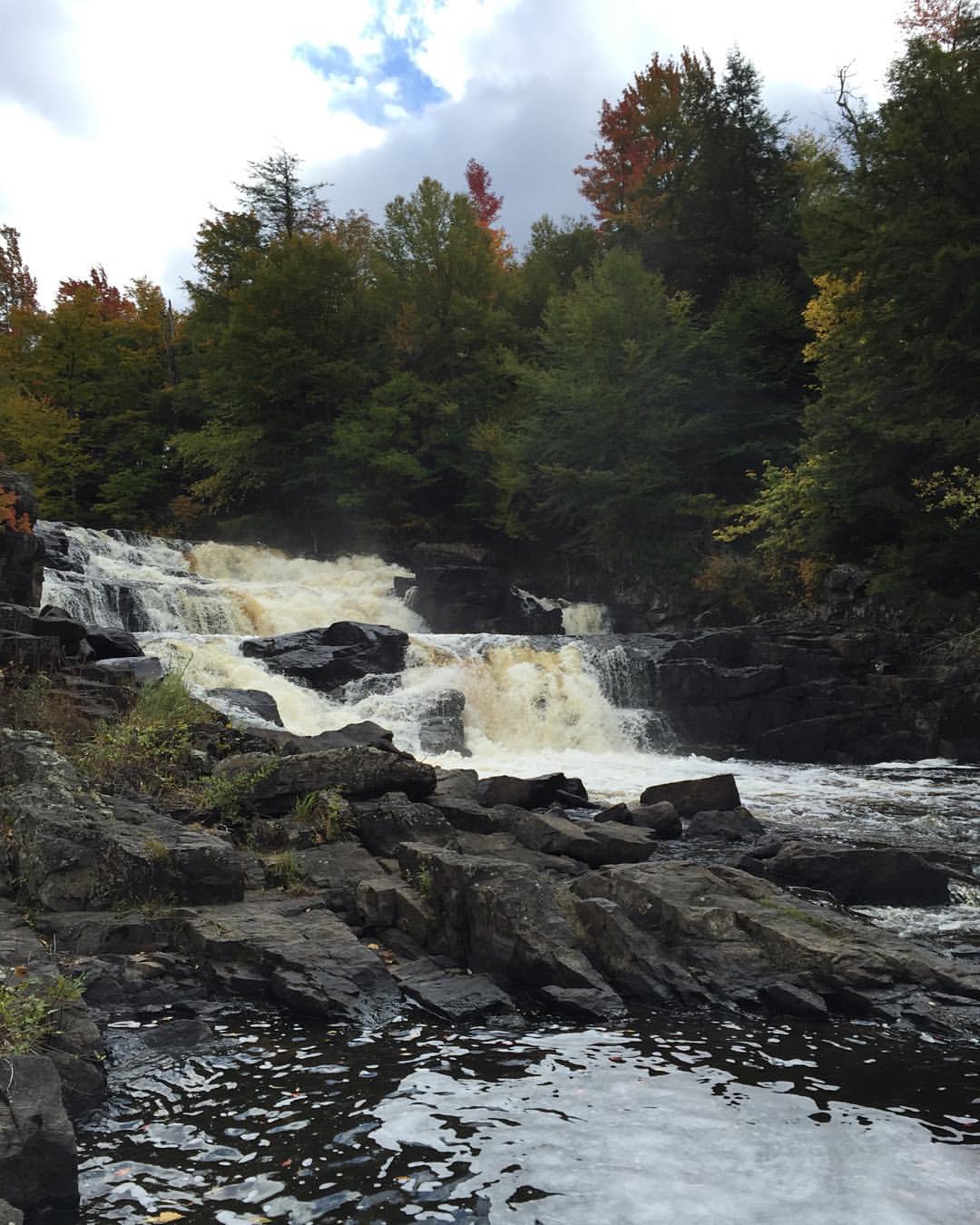
Everton Falls
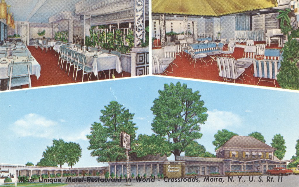
Crossroads Motel-Restaurant - Moira, New York
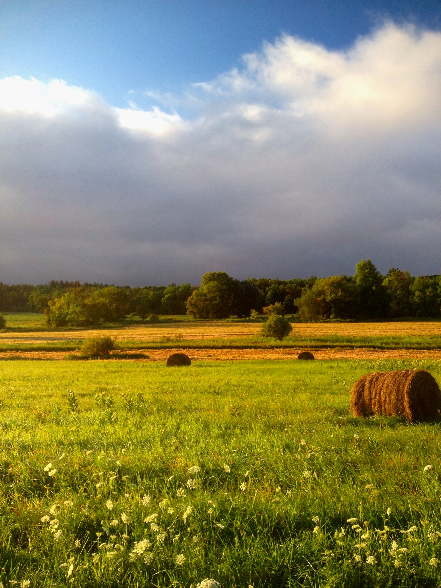
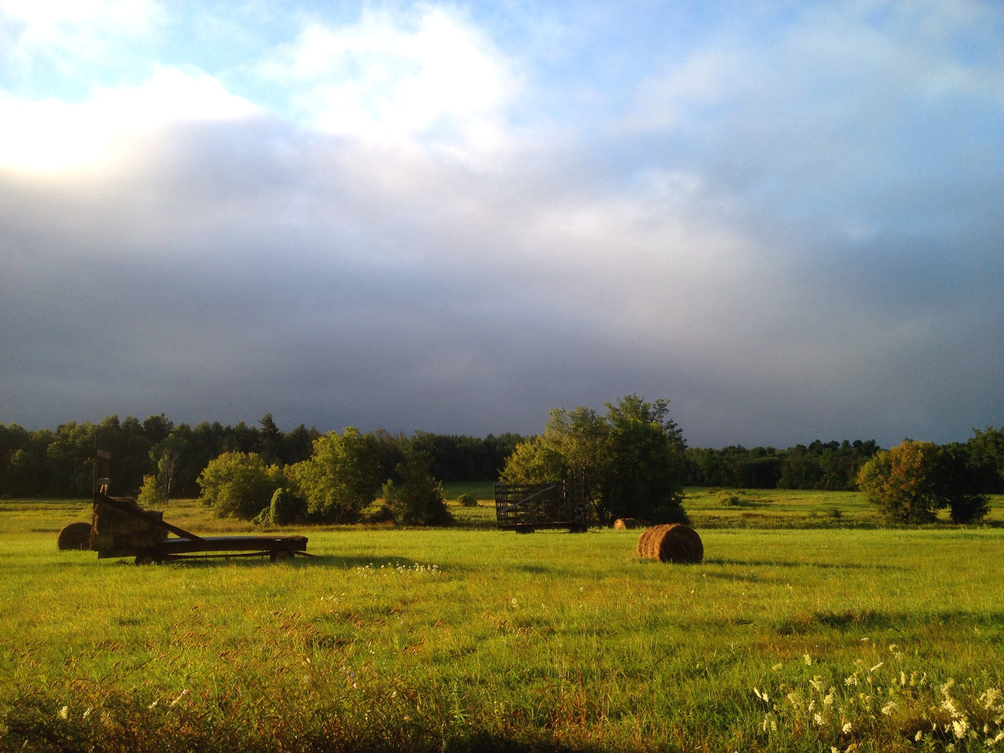
North Country hay field after the morning rain
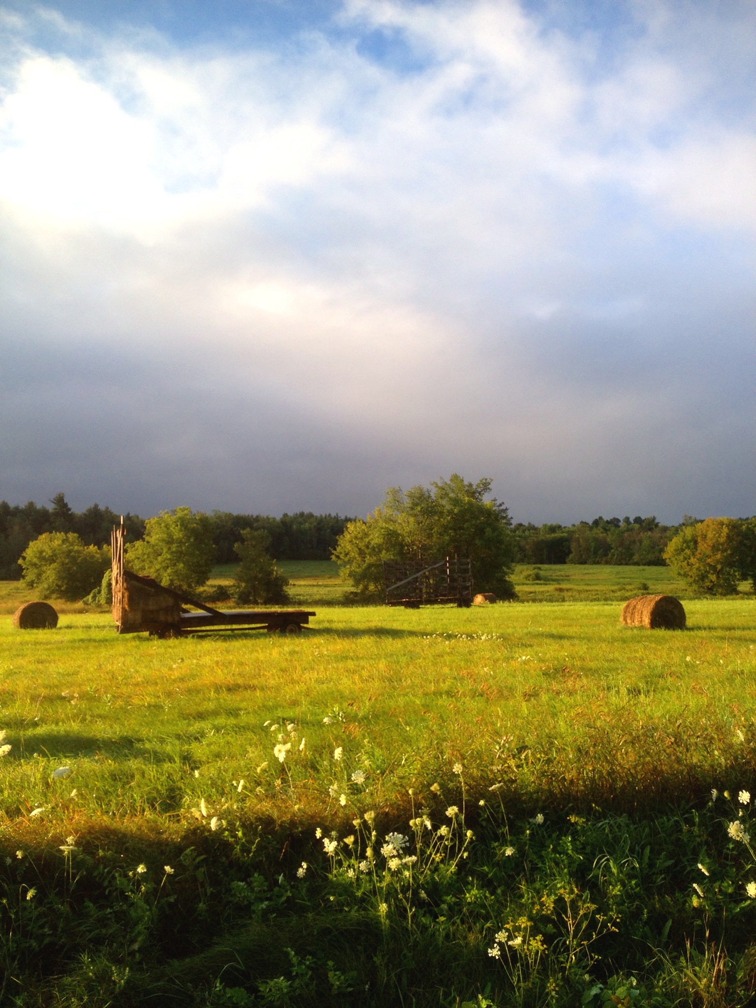
haying in the North Country

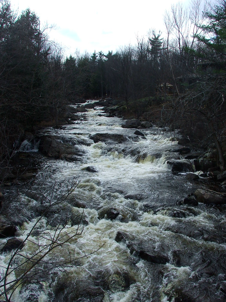
Deer River
North Country
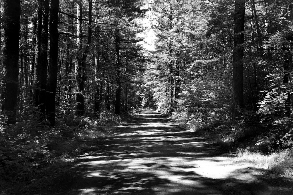
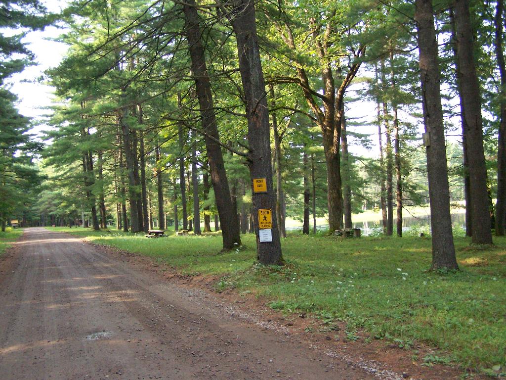
Road At Deer River
Eggleston Park, Skerry, NY

bacon/freud
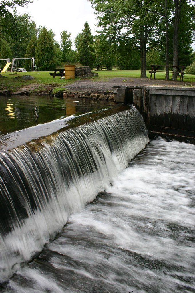
St. Regis Falls
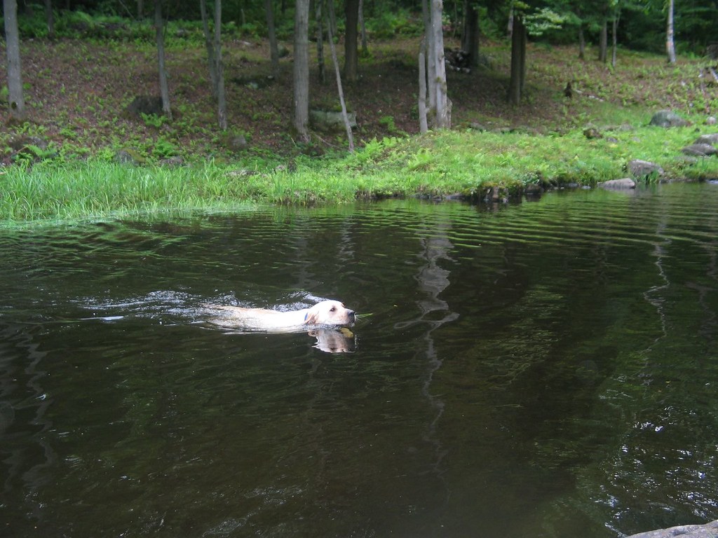
Still swimming
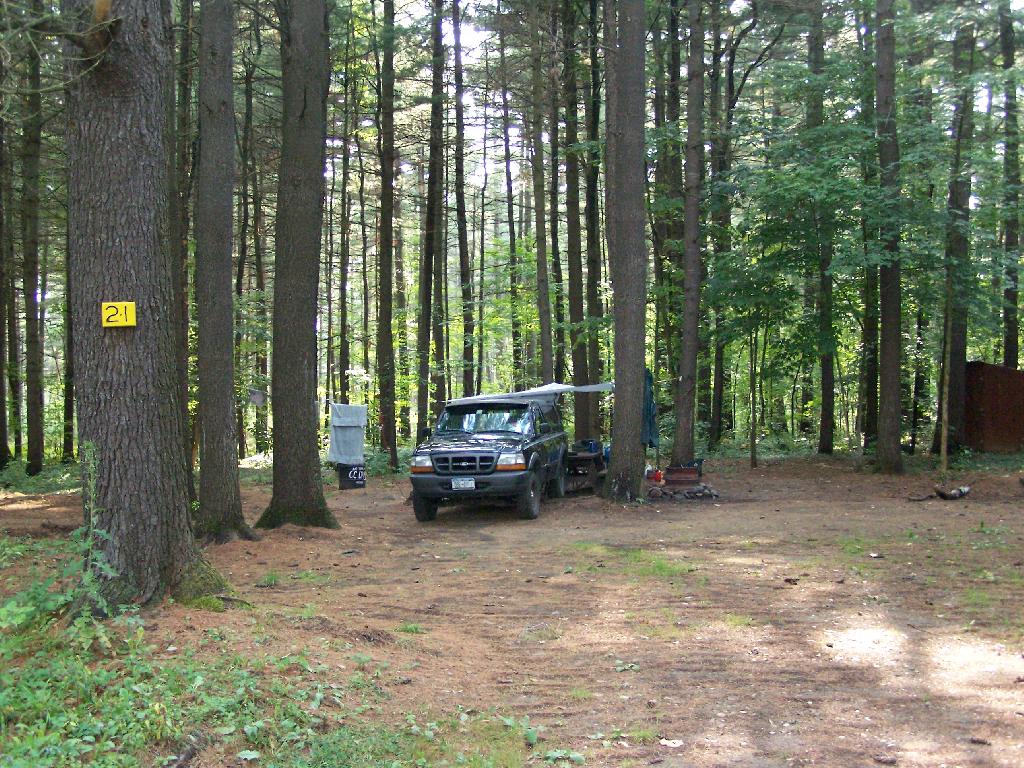
Campsite 21
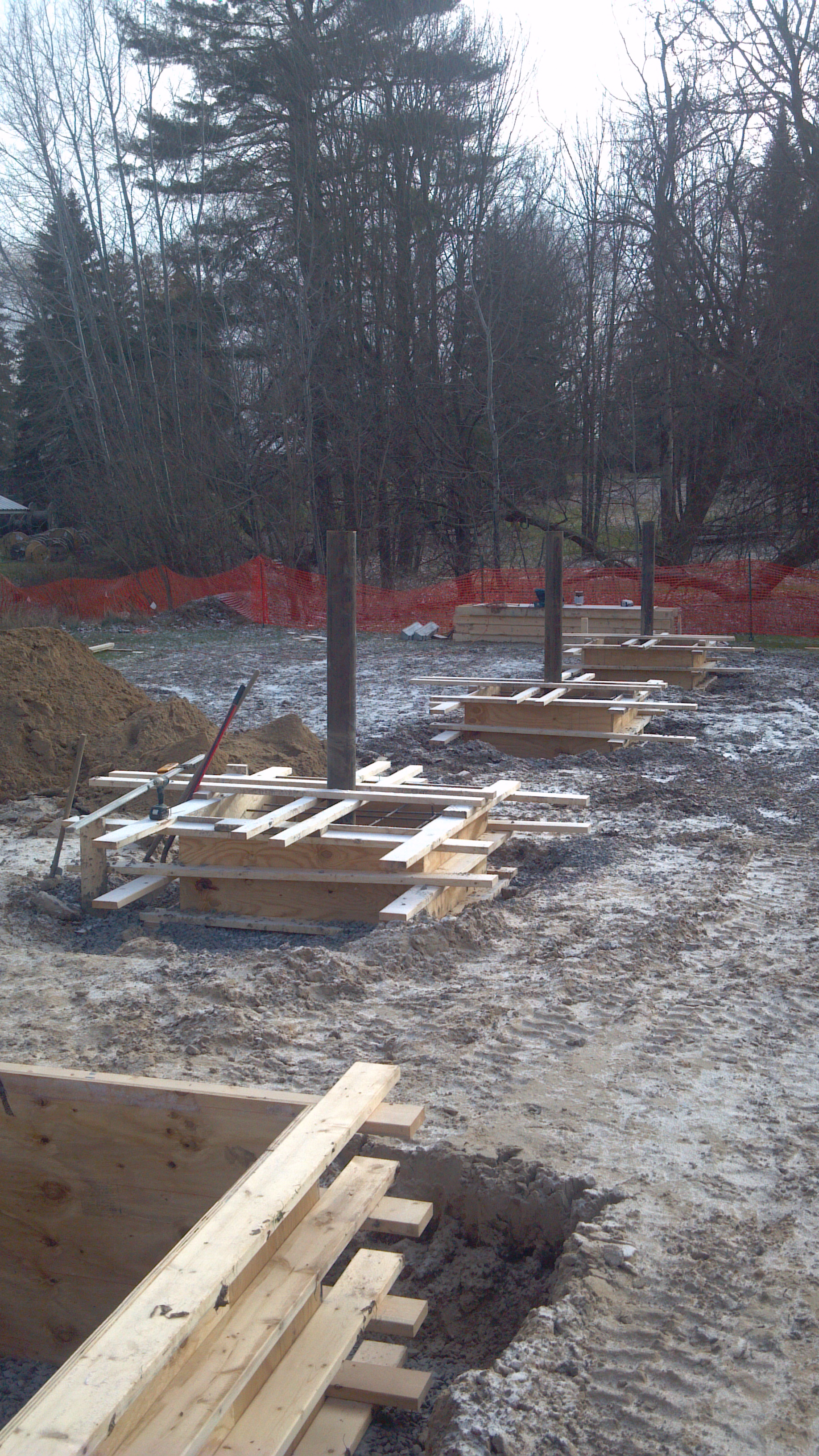
2012-12-11_10-51-37_745
St. Regis River
Entering the Campground
#AutumnLove #Autumn #NNY #NNYLove #nofilter #homelove #cloudyday #beautiful

Tonight. #NNY #nnyskies #homelove
Topographic Map of Dickinson Center, NY, USA
Find elevation by address:

Places in Dickinson Center, NY, USA:
Places near Dickinson Center, NY, USA:
Dickinson Center
Dickinson Center Baptist Church
Willow Street
Cemetery Road
Dickinson
Township 7 Brewing Co
Campsite Road
Saint Regis Falls
1756 S Main St
Hazen Rd, Brushton, NY, USA
Moira
Nicholville
Water St, North Lawrence, NY, USA
Lawrence
Mcewen Rd, North Lawrence, NY, USA
North Lawrence
Hopkinton
15 Church St, Nicholville, NY, USA
Jed S Automobile
Brasher Falls
Recent Searches:
- Elevation of Unnamed Road, Respublika Severnaya Osetiya — Alaniya, Russia
- Elevation of Verkhny Fiagdon, North Ossetia–Alania Republic, Russia
- Elevation of F. Viola Hiway, San Rafael, Bulacan, Philippines
- Elevation of Herbage Dr, Gulfport, MS, USA
- Elevation of Lilac Cir, Haldimand, ON N3W 2G9, Canada
- Elevation of Harrod Branch Road, Harrod Branch Rd, Kentucky, USA
- Elevation of Wyndham Grand Barbados Sam Lords Castle All Inclusive Resort, End of Belair Road, Long Bay, Bridgetown Barbados
- Elevation of Iga Trl, Maggie Valley, NC, USA
- Elevation of N Co Rd 31D, Loveland, CO, USA
- Elevation of Lindever Ln, Palmetto, FL, USA