Elevation of Saint Maries, St Maries, ID, USA
Location: United States > Idaho > Benewah County >
Longitude: -116.56266
Latitude: 47.3143541
Elevation: 668m / 2192feet
Barometric Pressure: 94KPa
Elevation Map:
Satellite Map:
Related Photos:
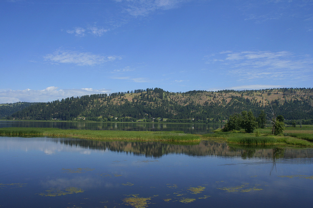
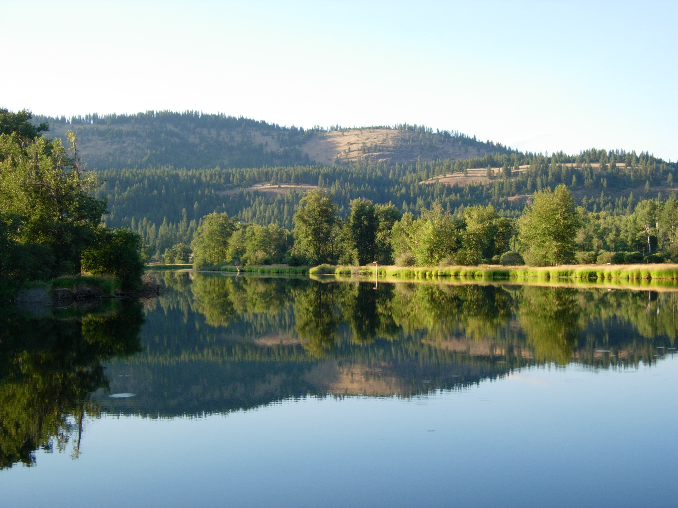
LAKE CHATCOLET, RAMSDELL, IDAHO 2012
Shadowy St. Joe River

Water Lily
Shadowy St. Joe River
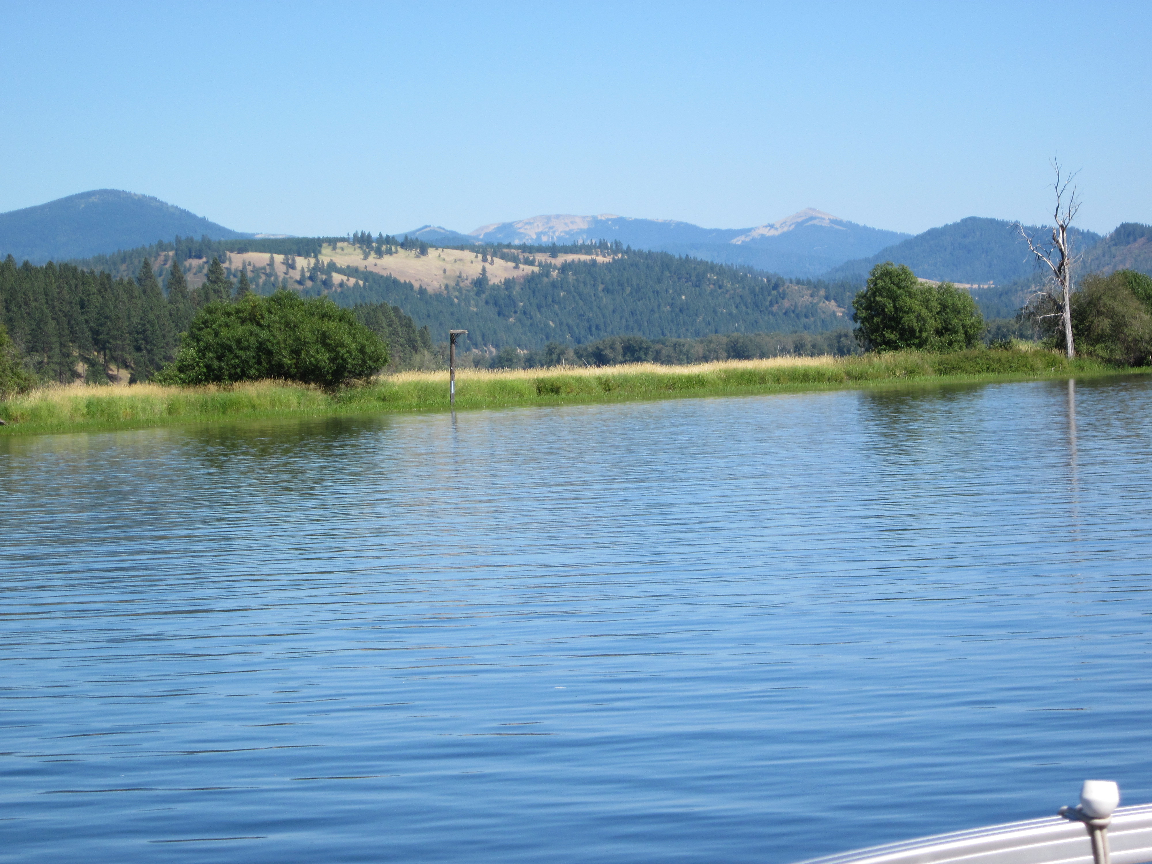
6-27-11 Lake Benewah trestle
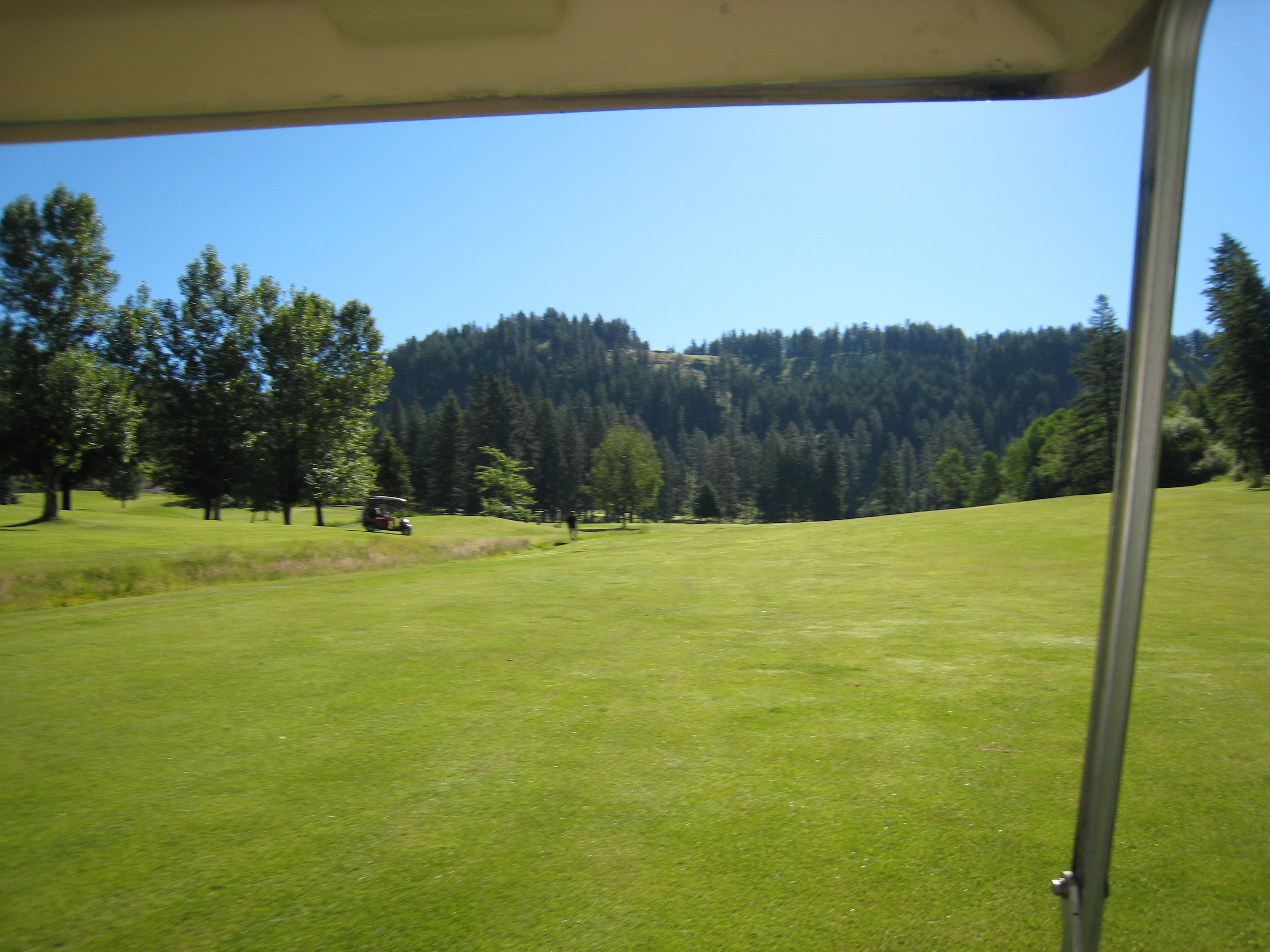
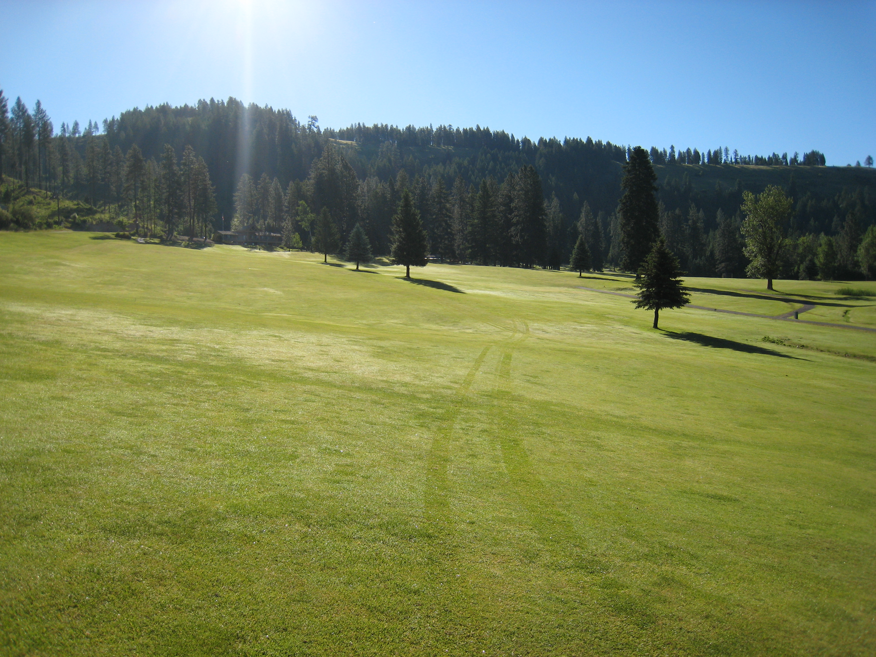
The View from the Cart
View from the Bench
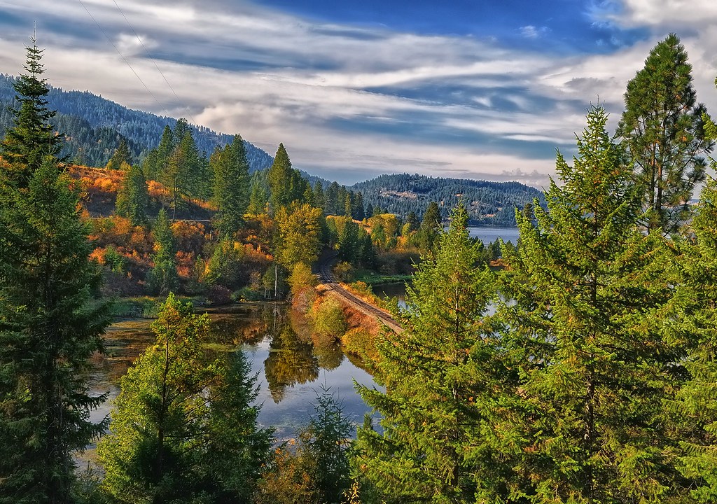
Autumn Rails
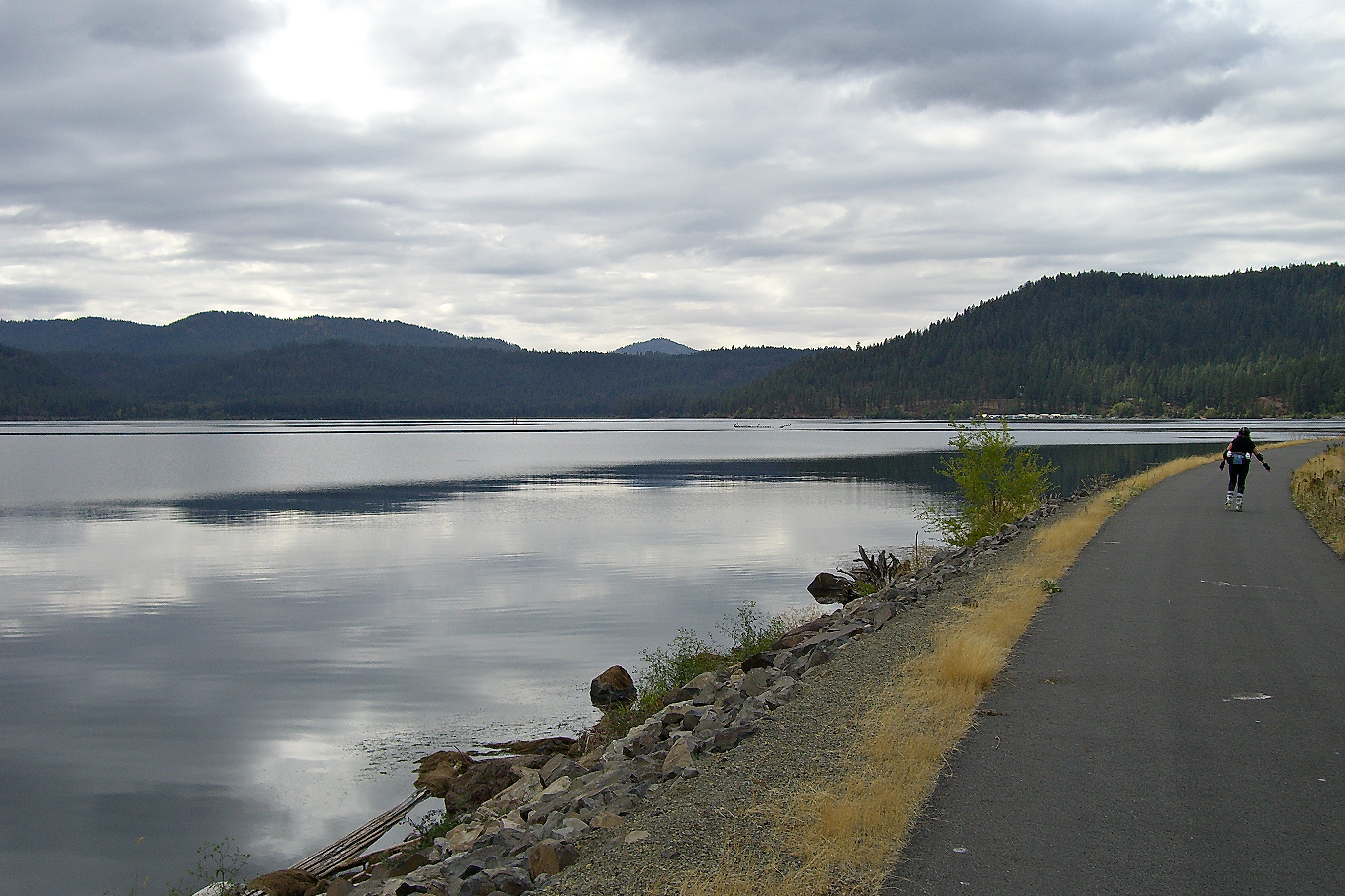
Idaho Skate Trip 2007 -63
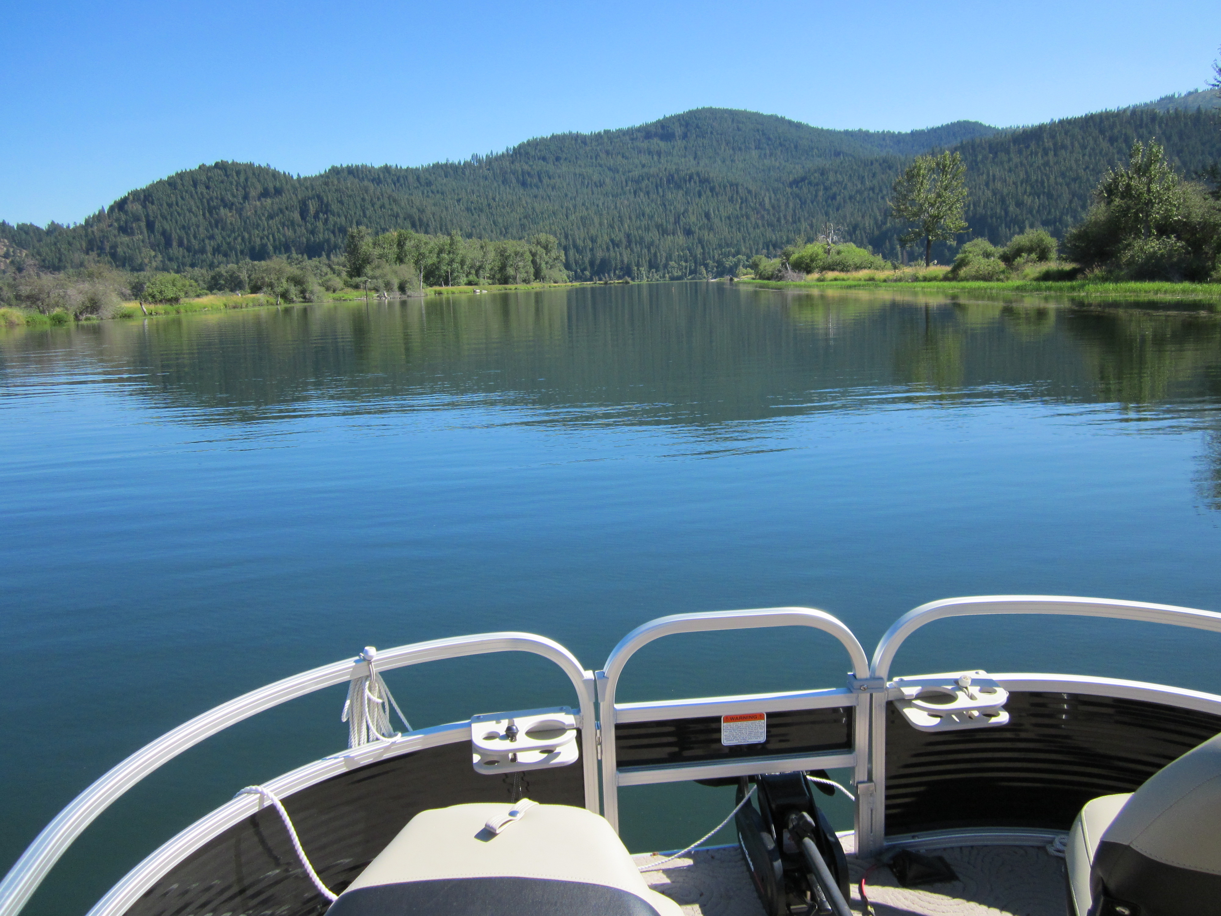
St Joe river Idaho 1

Balsam Distill 26
IMG_0779.jpg
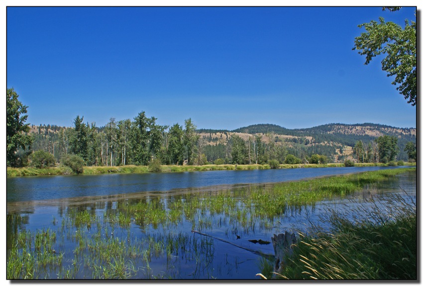
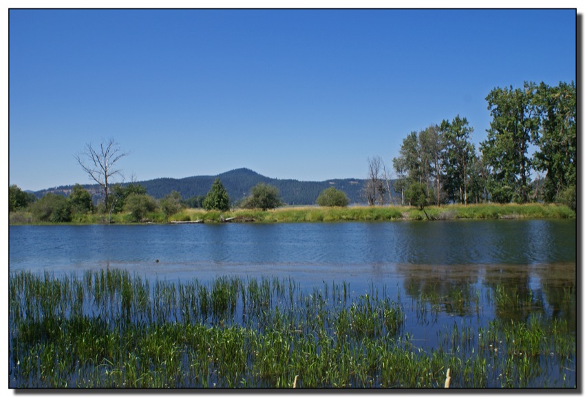
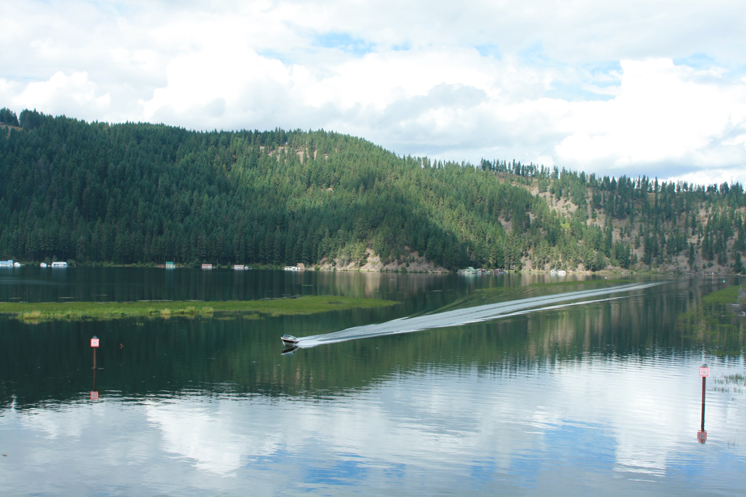
St Joe River, Idaho
St. Joe River, Idaho

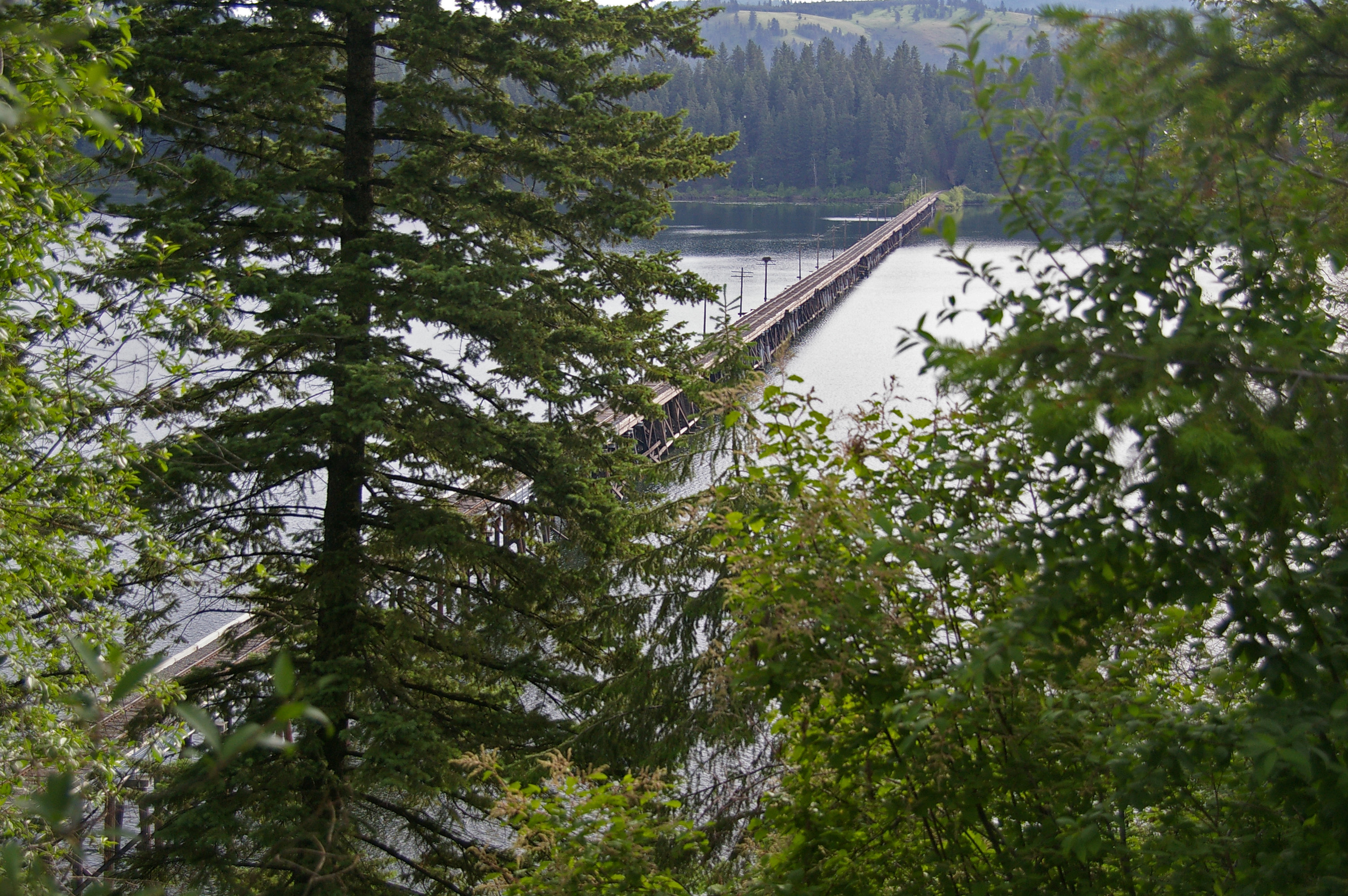
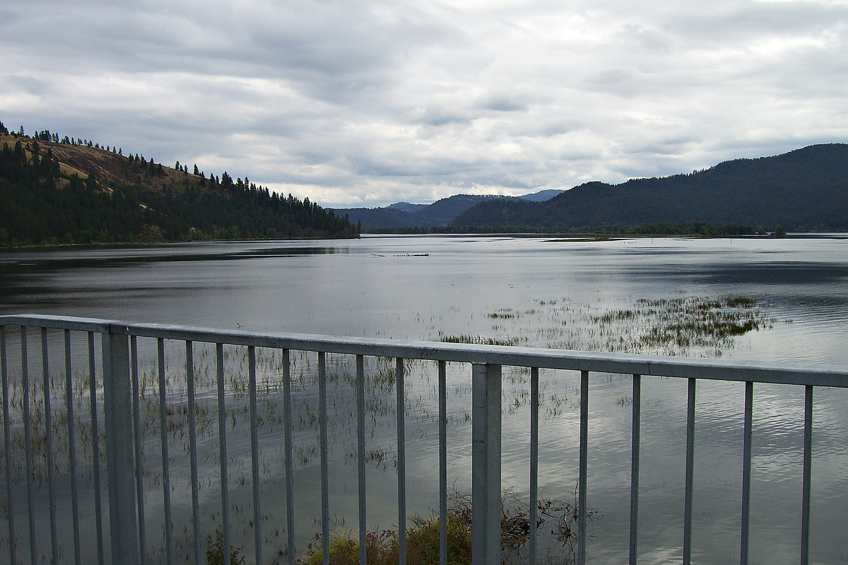
Bridge leading to Heyburn State Park
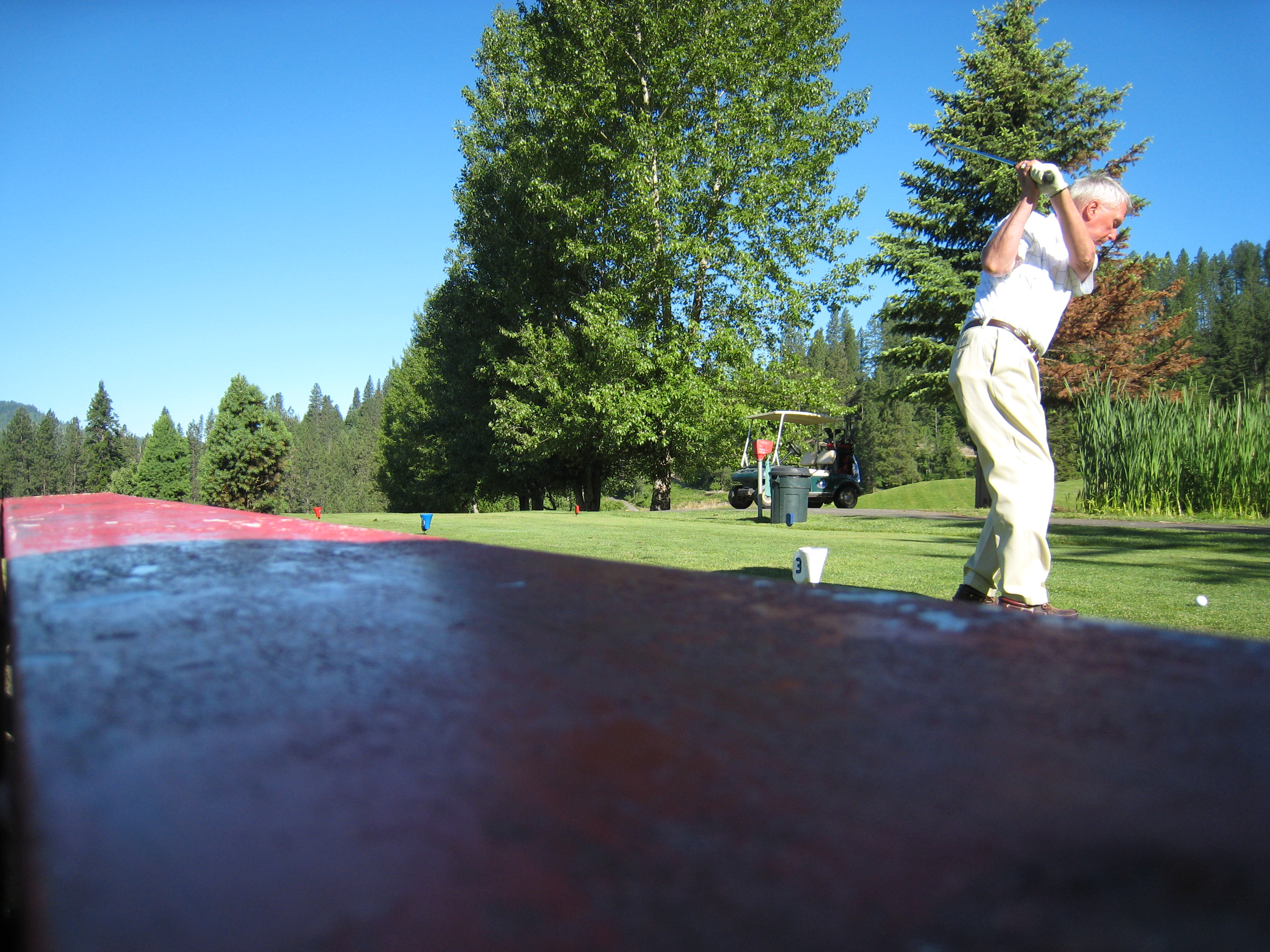
Idaho Skate Trip 2007 -62
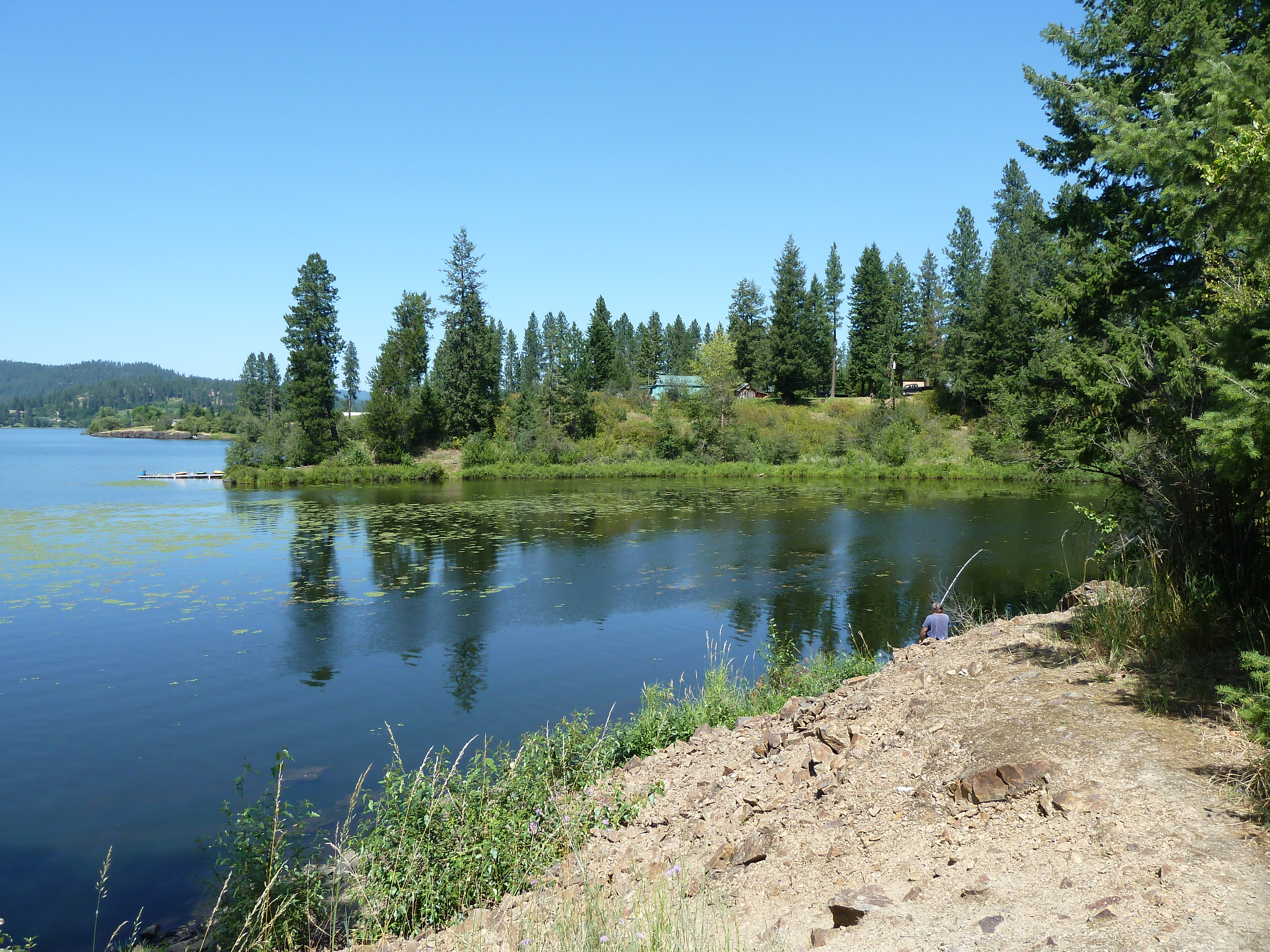
photo.JPG
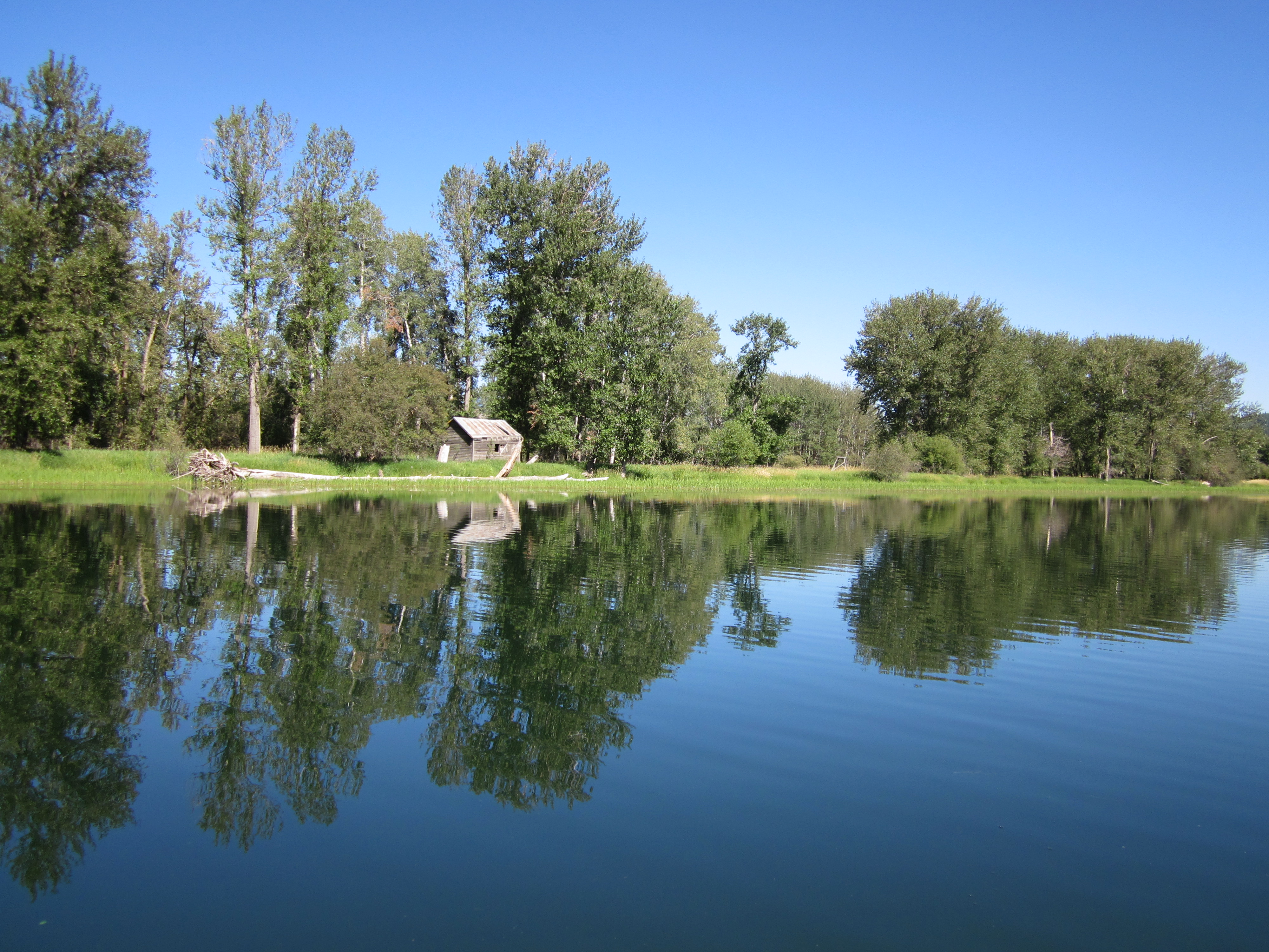
New Life Springs from Old
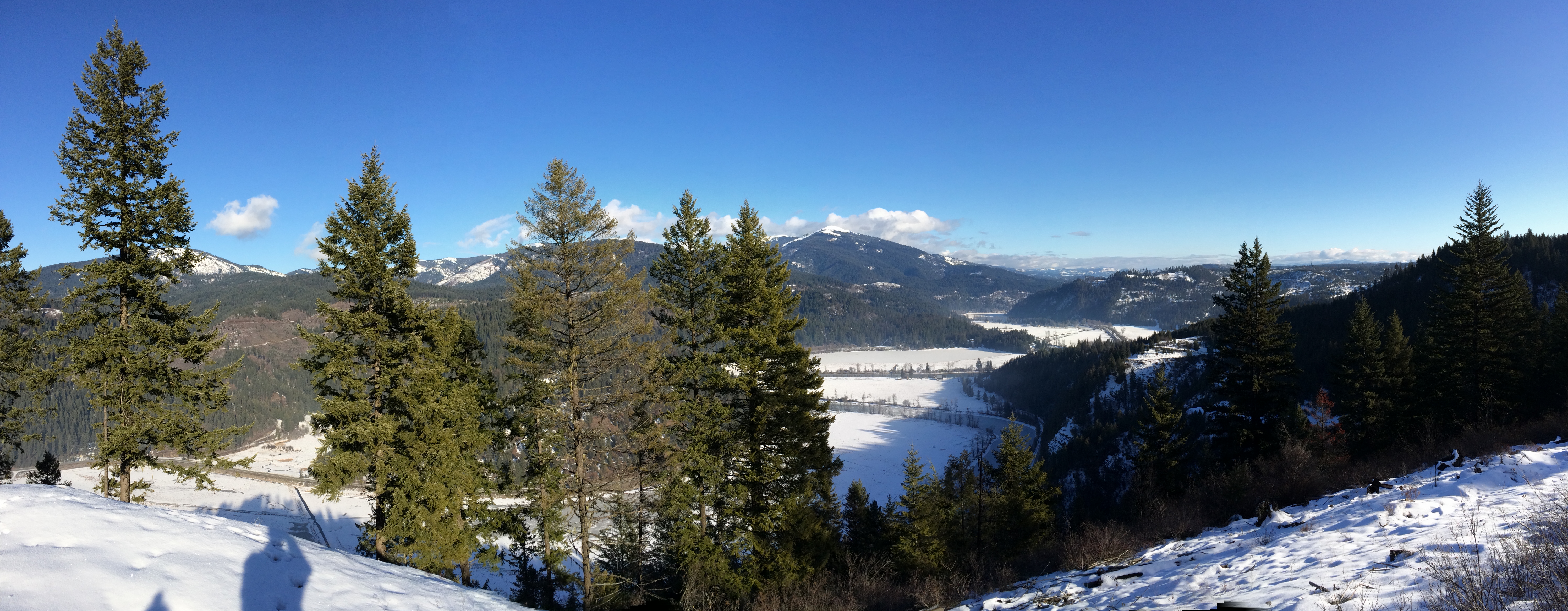
St Joe River Valley
Trail into Crystal Lake
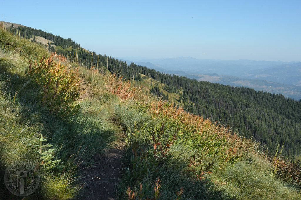
Along Rochat Divide Road
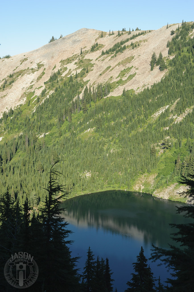
Crystal Lake
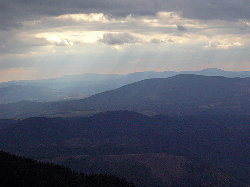
Mt Baldy over the St Joe
Spot o' Sun
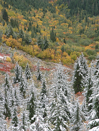
First Snow
Fresh Tracks
St Joe River, Idaho
Topographic Map of Saint Maries, St Maries, ID, USA
Find elevation by address:

Places in Saint Maries, St Maries, ID, USA:
99 Rocky Point Upper Rd, St Maries, ID, USA
60 College Ave, St Maries, ID, USA
Hawleys Landing Rd, St Maries, ID, USA
75 Ella Rd, St Maries, ID, USA
ID-3, St Maries, ID, USA
North Main Street
Highland Springs Road
Emida
Sportsman Access
Alder Creek Road
Cherry Creek Road
Places near Saint Maries, St Maries, ID, USA:
515 S 7th St
Jim's Auto & Tire Pros
St. Maries High School
75 Ella Rd, St Maries, ID, USA
650 Ridgeview Dr
55 Christmas Hills Rd
Highland Springs Road
344 Abbey Rd
Cherry Creek Road
82 Patches Ln
Sportsman Access
227 Winter Way
13887 E Rosewood Rd
1455 Flat Creek Rd
Benewah County
29176 Soloa Rd
Parkline
26363 S Lake Ridge Rd
6134 Alder Creek Rd
175 Ahrs Loop
Recent Searches:
- Elevation of Corso Fratelli Cairoli, 35, Macerata MC, Italy
- Elevation of Tallevast Rd, Sarasota, FL, USA
- Elevation of 4th St E, Sonoma, CA, USA
- Elevation of Black Hollow Rd, Pennsdale, PA, USA
- Elevation of Oakland Ave, Williamsport, PA, USA
- Elevation of Pedrógão Grande, Portugal
- Elevation of Klee Dr, Martinsburg, WV, USA
- Elevation of Via Roma, Pieranica CR, Italy
- Elevation of Tavkvetili Mountain, Georgia
- Elevation of Hartfords Bluff Cir, Mt Pleasant, SC, USA