Elevation of Ahrs Loop, St Maries, ID, USA
Location: United States > Idaho > Benewah County > Saint Maries >
Longitude: -116.38337
Latitude: 47.325434
Elevation: -10000m / -32808feet
Barometric Pressure: 295KPa
Elevation Map:
Satellite Map:
Related Photos:

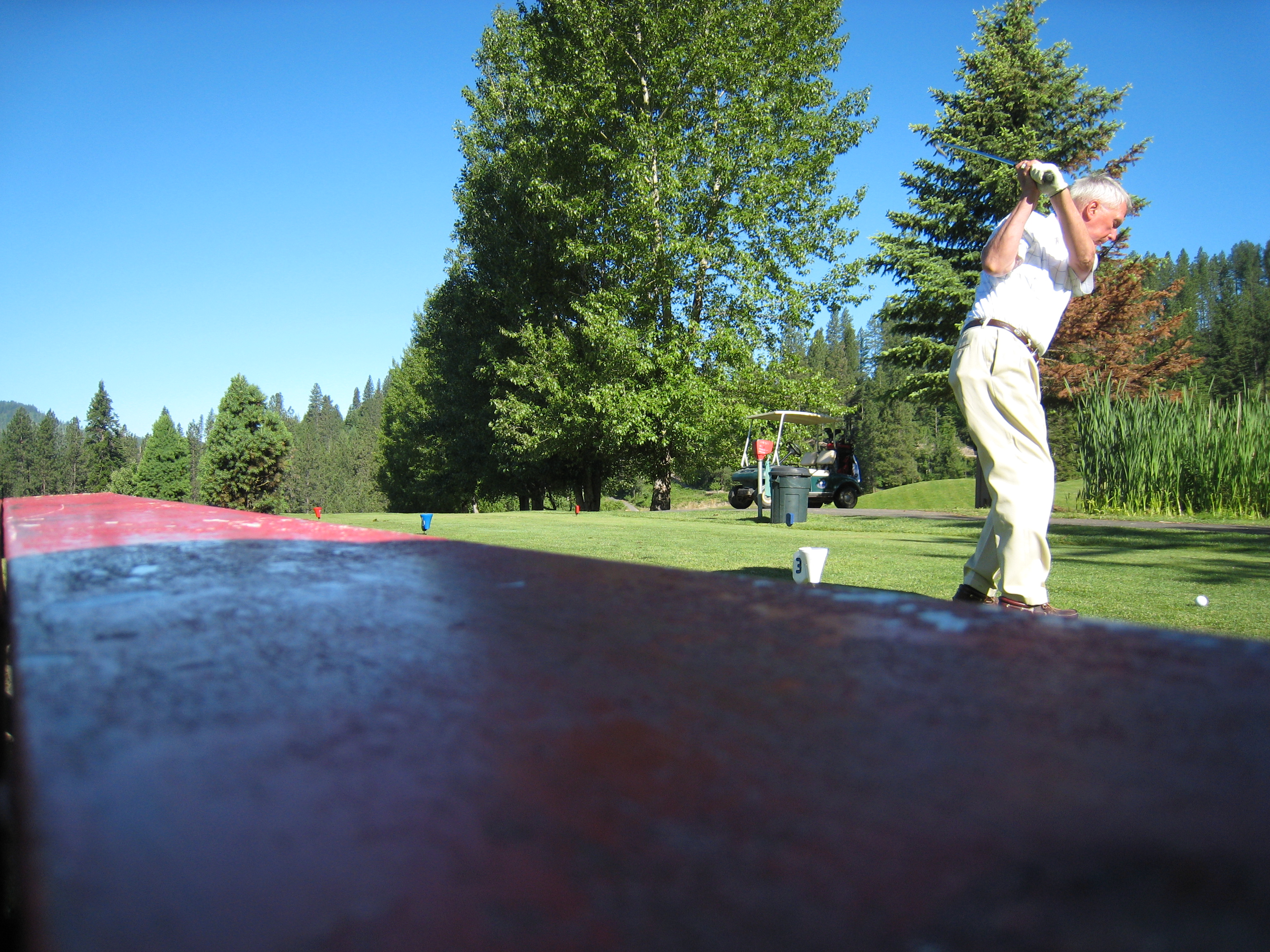
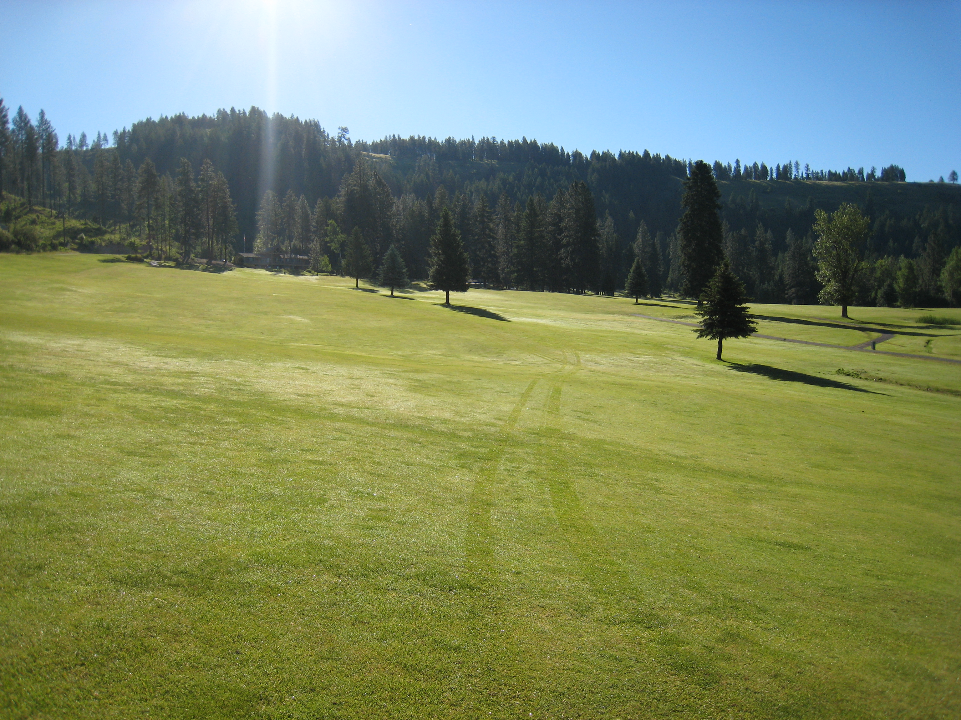
The View from the Cart
View from the Bench

Idaho View
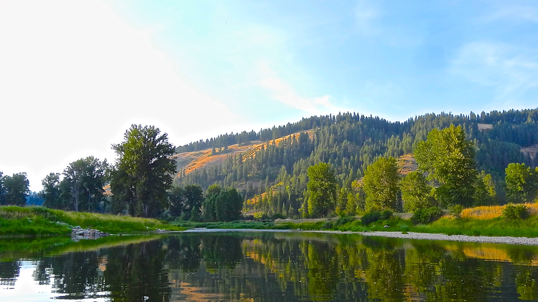
The Wild & Scenic St Joe River

Trail into Crystal Lake

New Life Springs from Old

Crystal Lake

The Easy Part of Trail 27
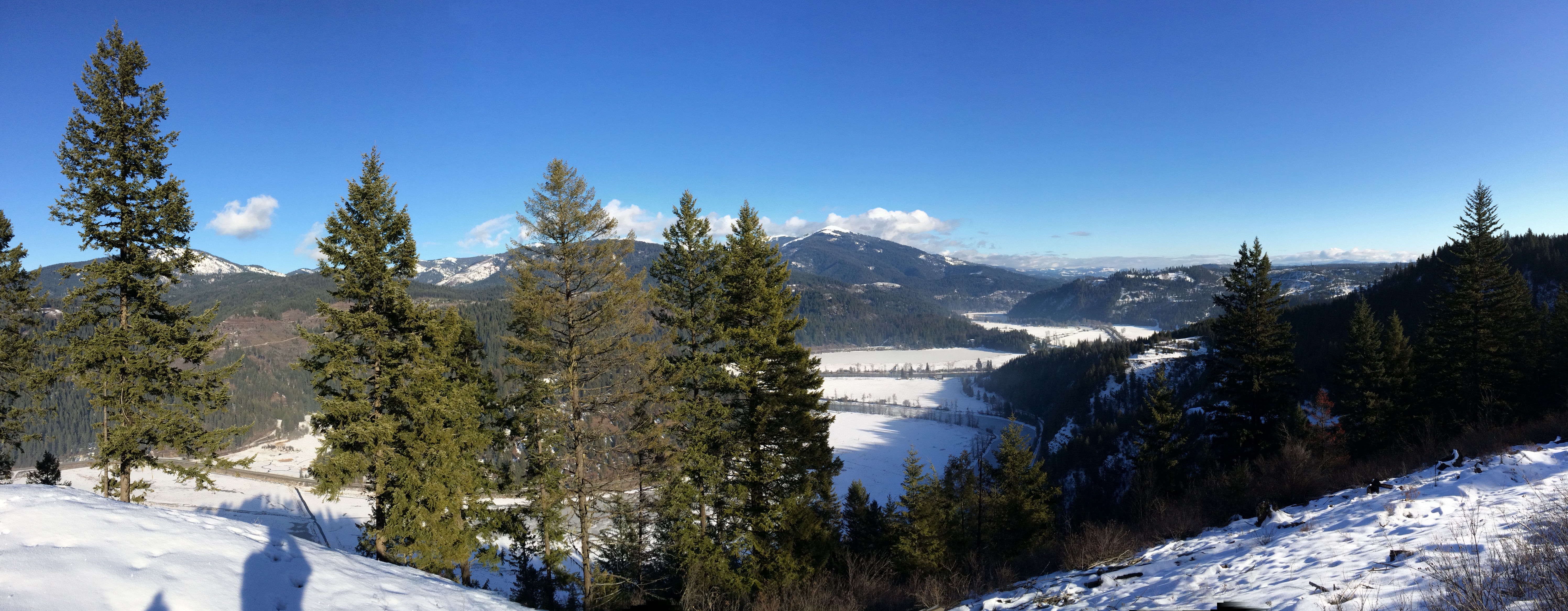
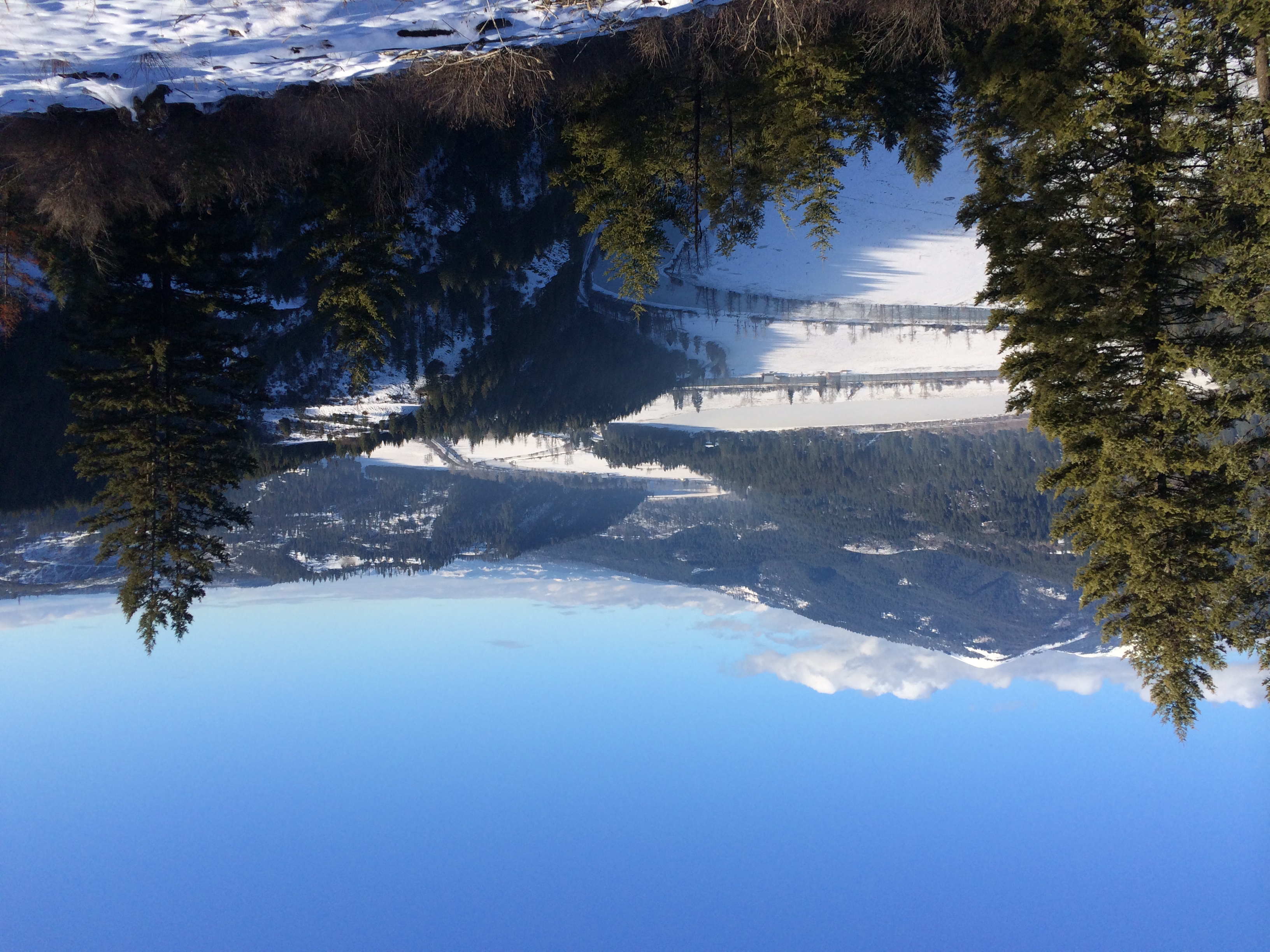
St Joe River Valley

Spot o' Sun

First Snow
Mt Baldy over the St Joe
Fresh Tracks

Nice Form

Fire camp at Calder
Topographic Map of Ahrs Loop, St Maries, ID, USA
Find elevation by address:

Places near Ahrs Loop, St Maries, ID, USA:
227 Winter Way
Davis Creek Road
Davis Creek Road
Davis Creek Road
55 Christmas Hills Rd
75 Ella Rd, St Maries, ID, USA
1455 Flat Creek Rd
Jim's Auto & Tire Pros
Saint Maries
210 Meadowlark Dr
515 S 7th St
Sportsman Access
897 W Tamarack Dr
Santa
ID-3, St Maries, ID, USA
344 Abbey Rd
St. Maries High School
2088 Crystal Peak Rd
650 Ridgeview Dr
ID-3, Fernwood, ID, USA
Recent Searches:
- Elevation of Shibuya Scramble Crossing, 21 Udagawacho, Shibuya City, Tokyo -, Japan
- Elevation of Jadagoniai, Kaunas District Municipality, Lithuania
- Elevation of Pagonija rock, Kranto 7-oji g. 8"N, Kaunas, Lithuania
- Elevation of Co Rd 87, Jamestown, CO, USA
- Elevation of Tenjo, Cundinamarca, Colombia
- Elevation of Côte-des-Neiges, Montreal, QC H4A 3J6, Canada
- Elevation of Bobcat Dr, Helena, MT, USA
- Elevation of Zu den Ihlowbergen, Althüttendorf, Germany
- Elevation of Badaber, Peshawar, Khyber Pakhtunkhwa, Pakistan
- Elevation of SE Heron Loop, Lincoln City, OR, USA