Elevation of Benewah County, ID, USA
Location: United States > Idaho >
Longitude: -116.6499425
Latitude: 47.2437836
Elevation: 1079m / 3540feet
Barometric Pressure: 0KPa
Related Photos:
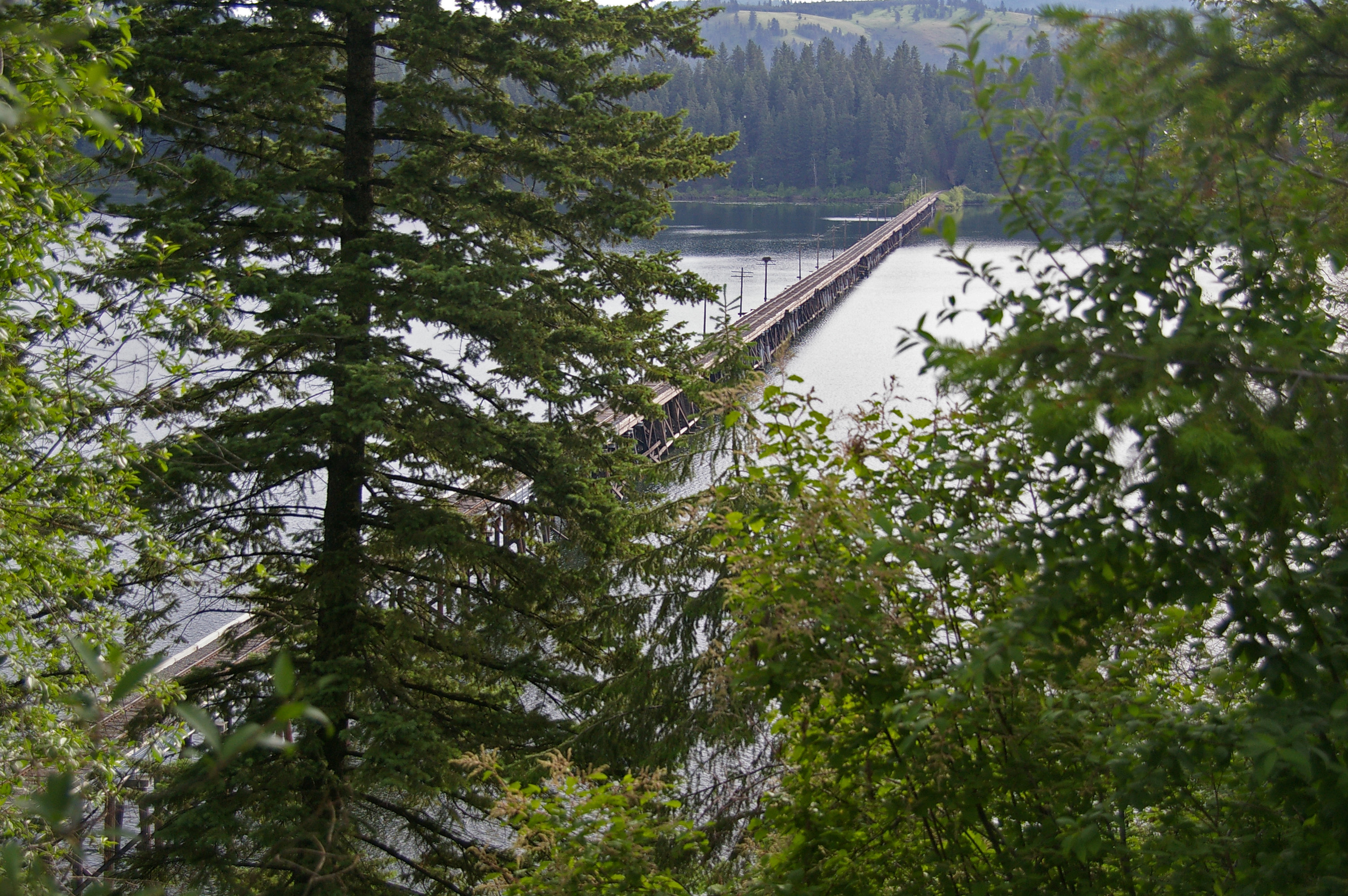
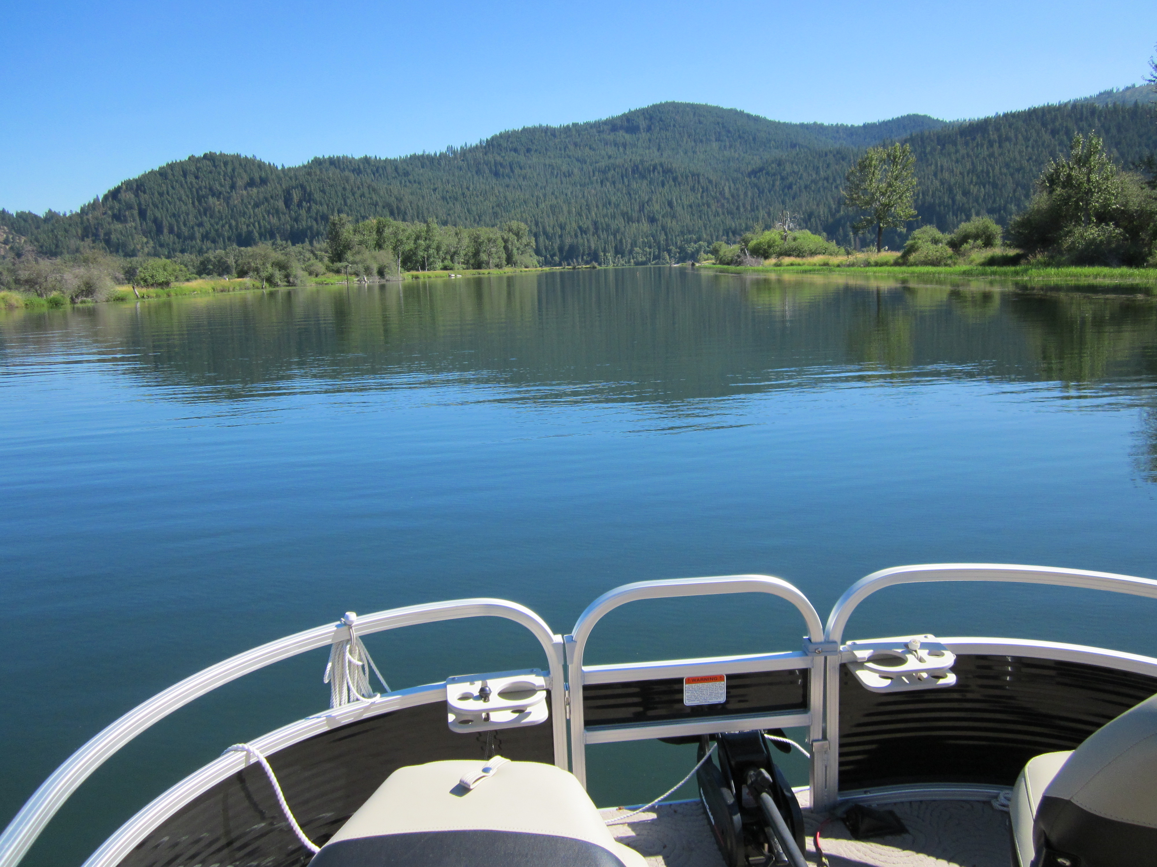
6-27-11 Lake Benewah trestle
Trail of the Coeur D' Alenes, Idaho
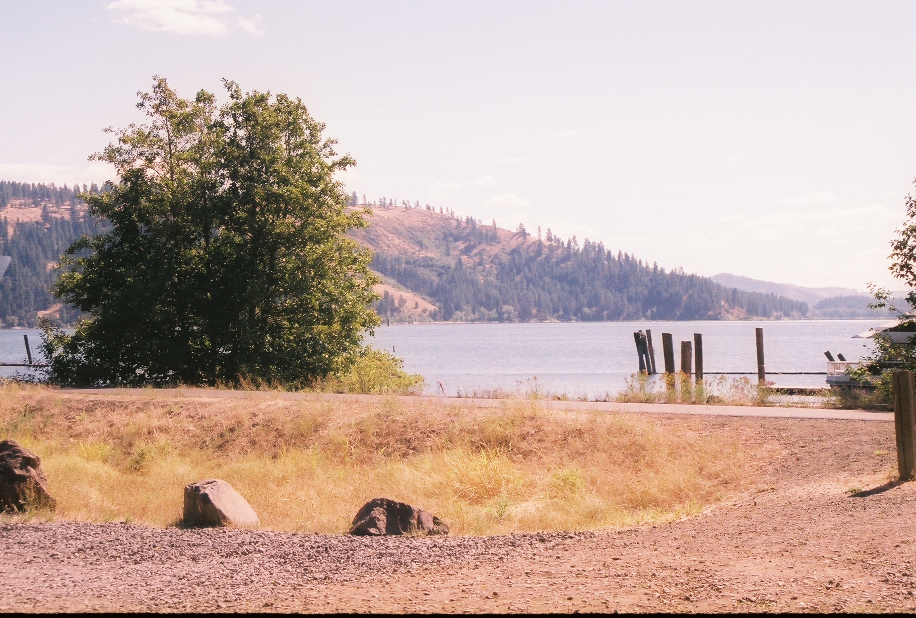
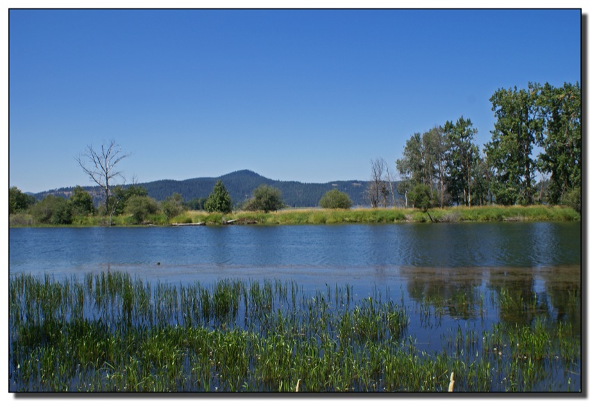
LAKE CHATCOLET, RAMSDELL, IDAHO 2012
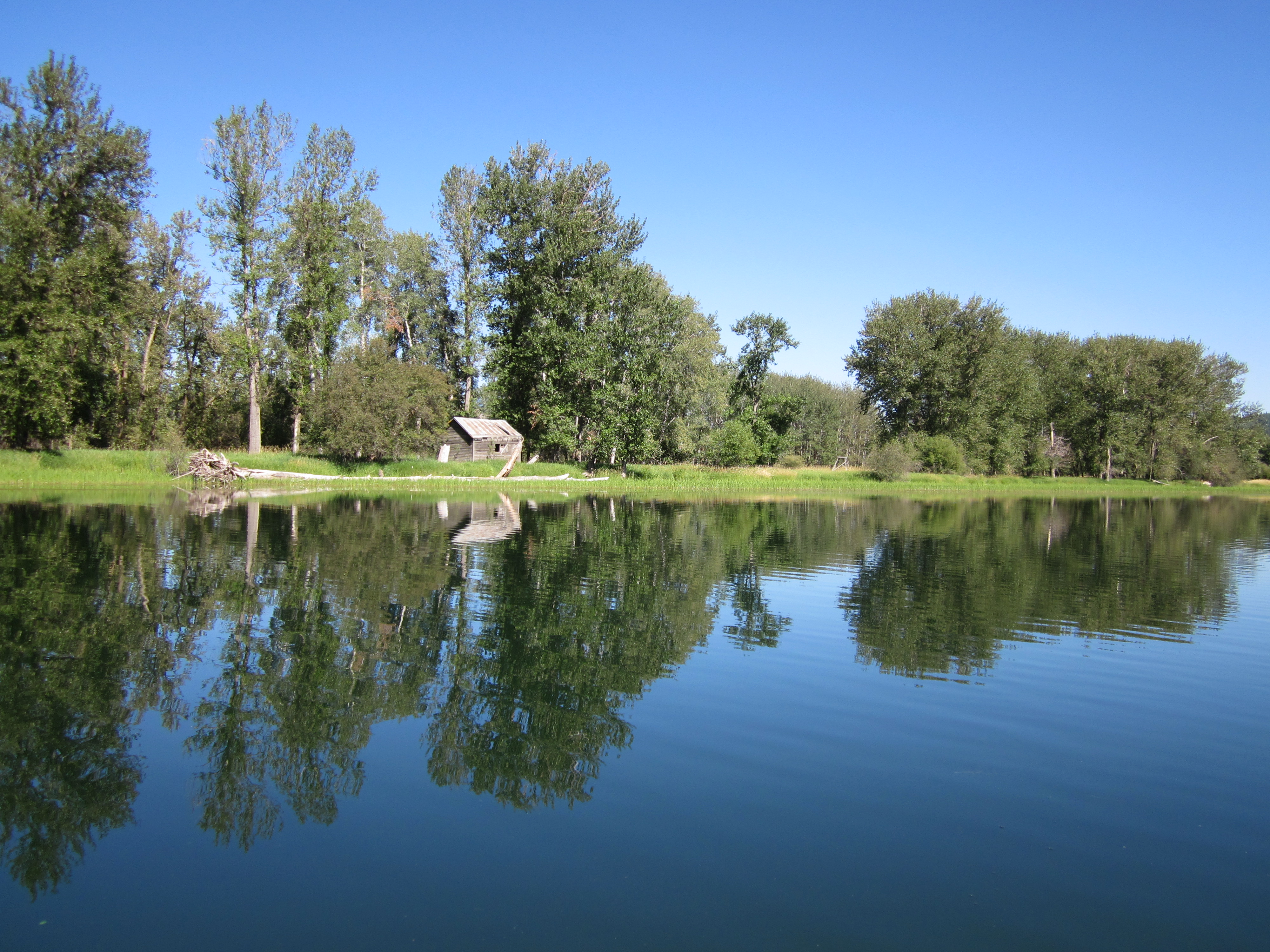
Shadowy St. Joe River

Water Lily
Shadowy St. Joe River
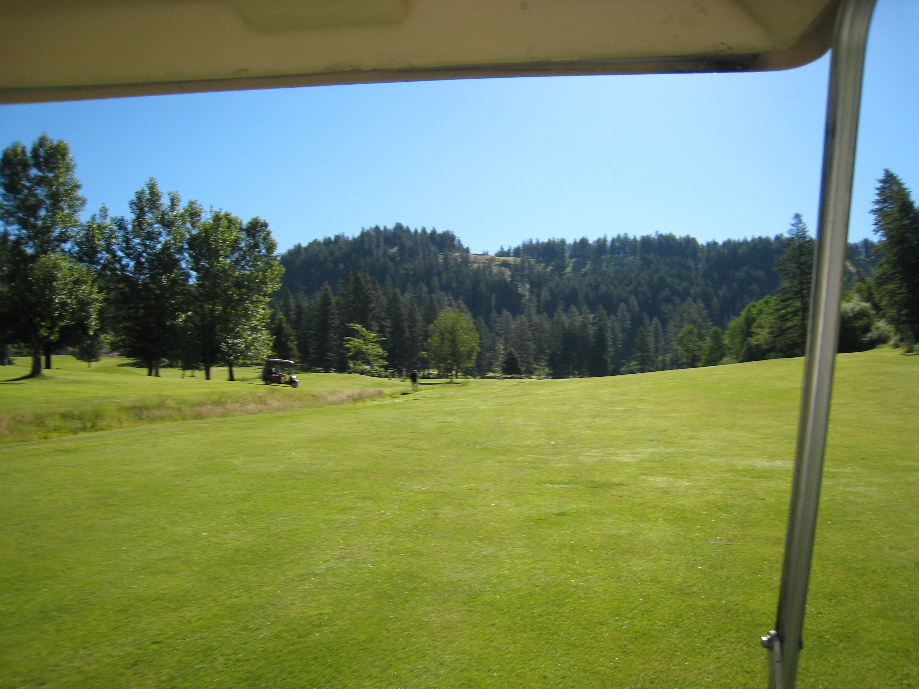
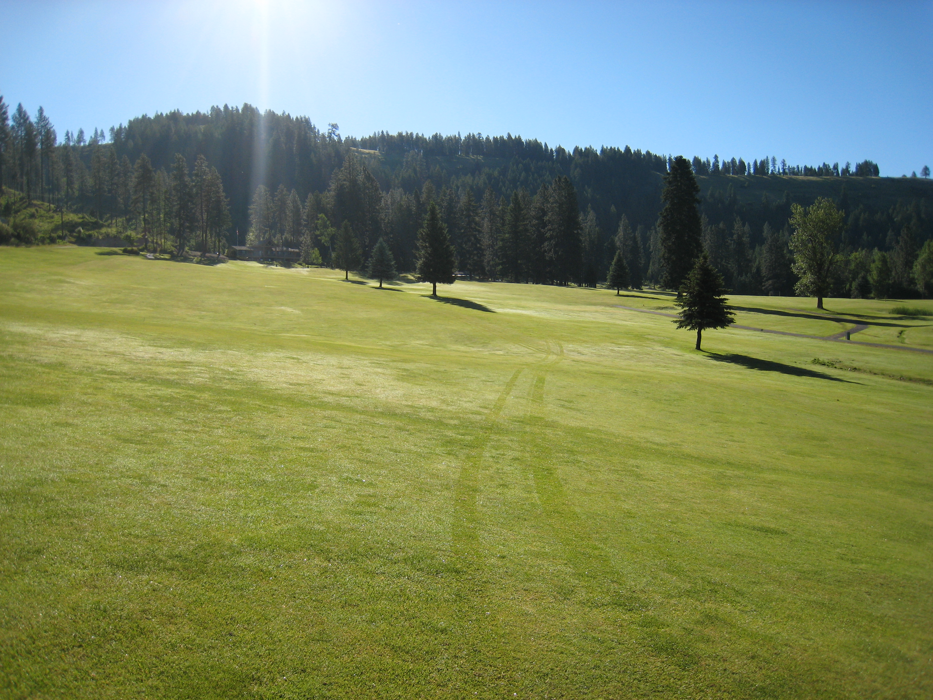
The View from the Cart
View from the Bench
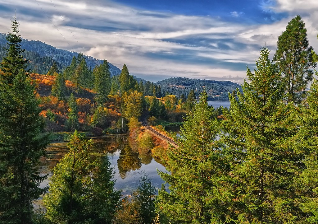
Autumn Rails
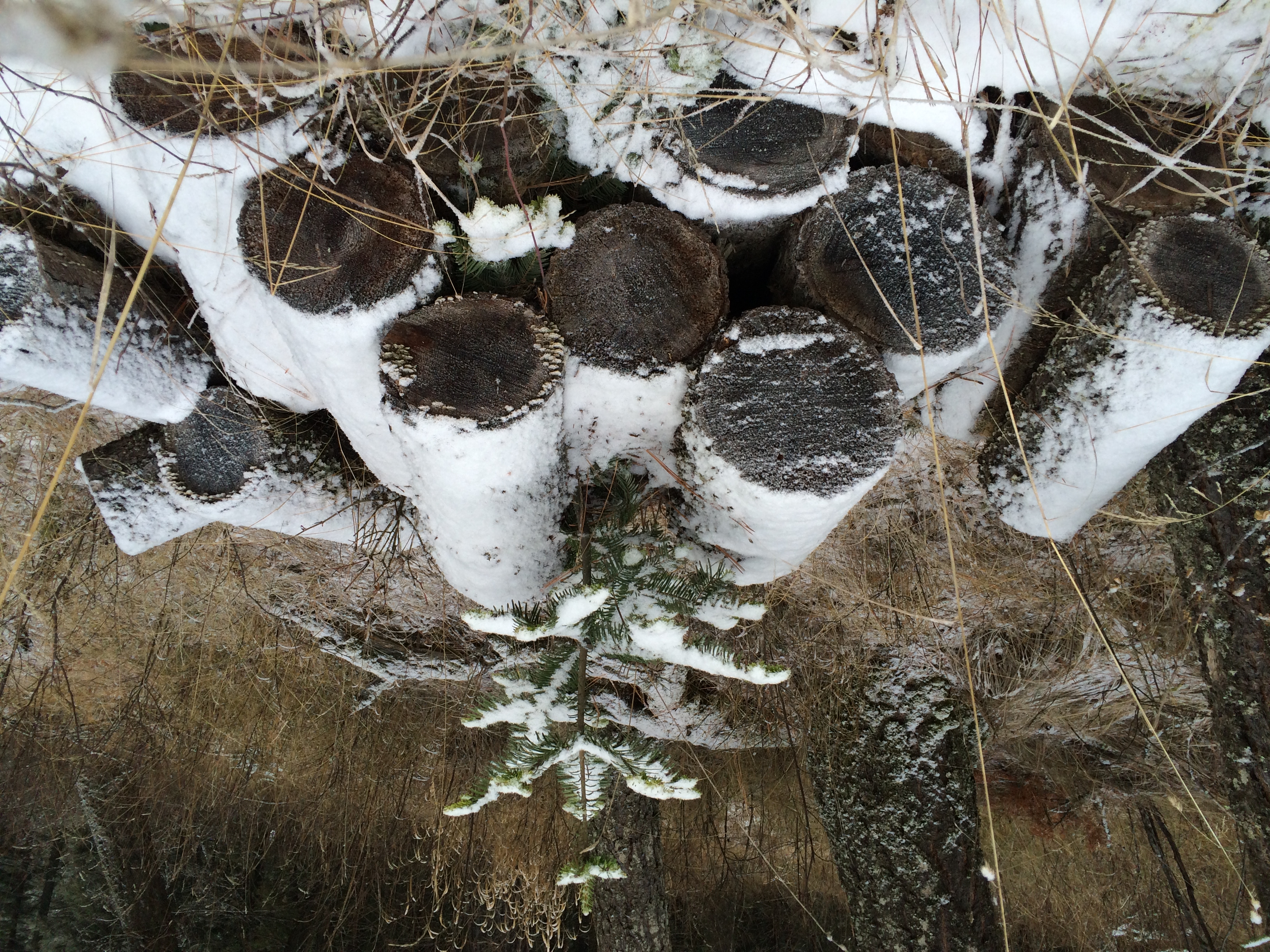
New Life Springs from Old

Balsam Distill 26
Plummer Creek
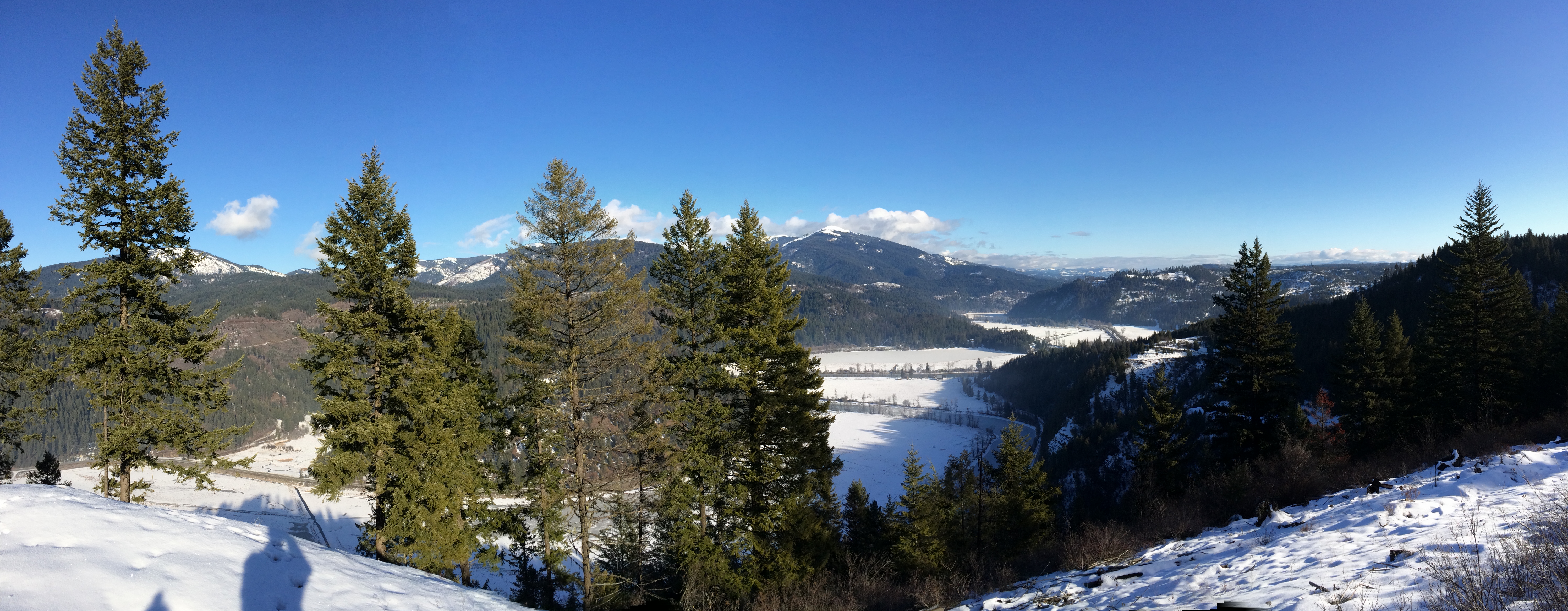
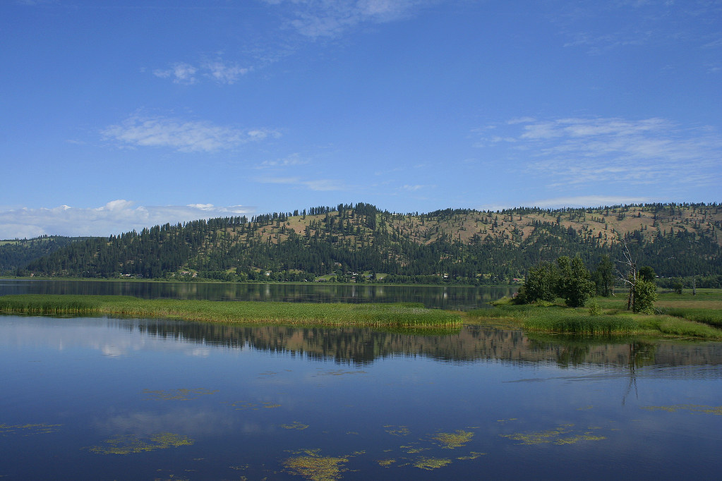
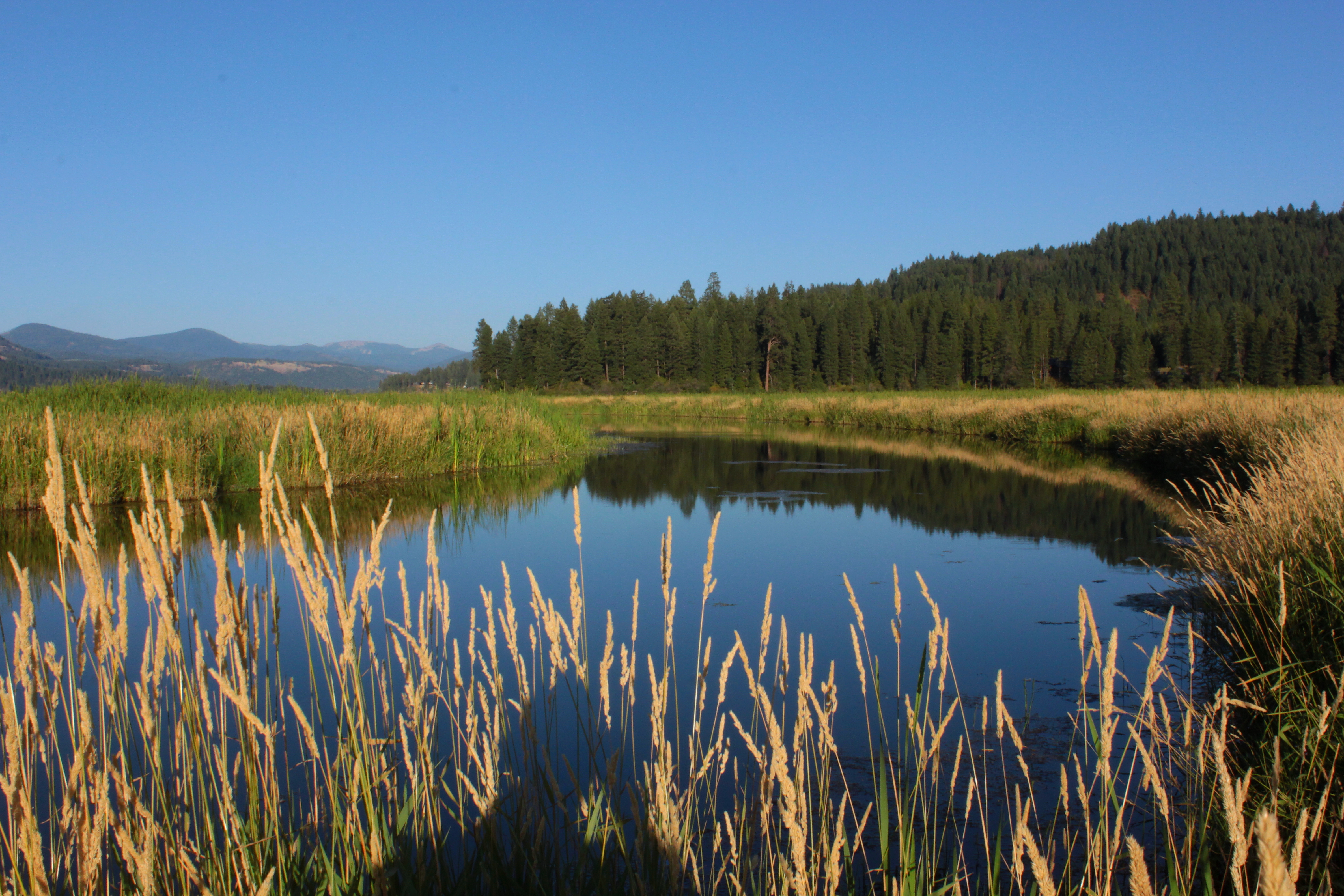
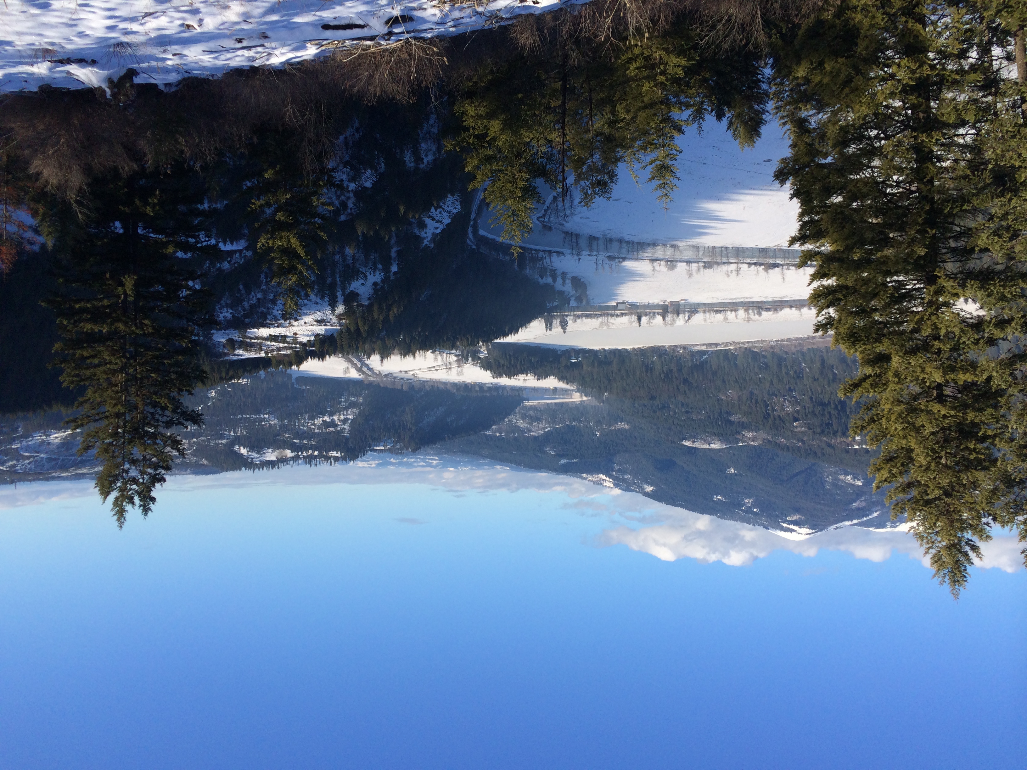
St Joe River Valley
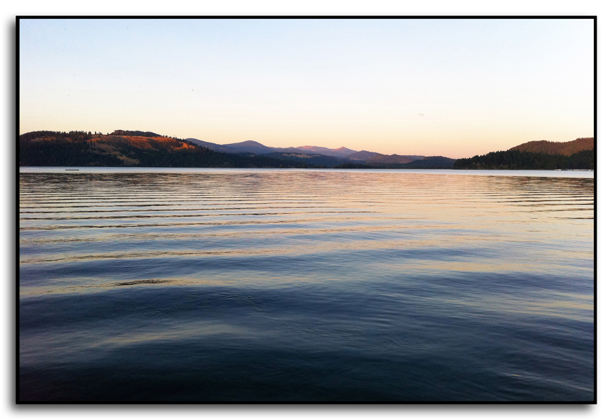
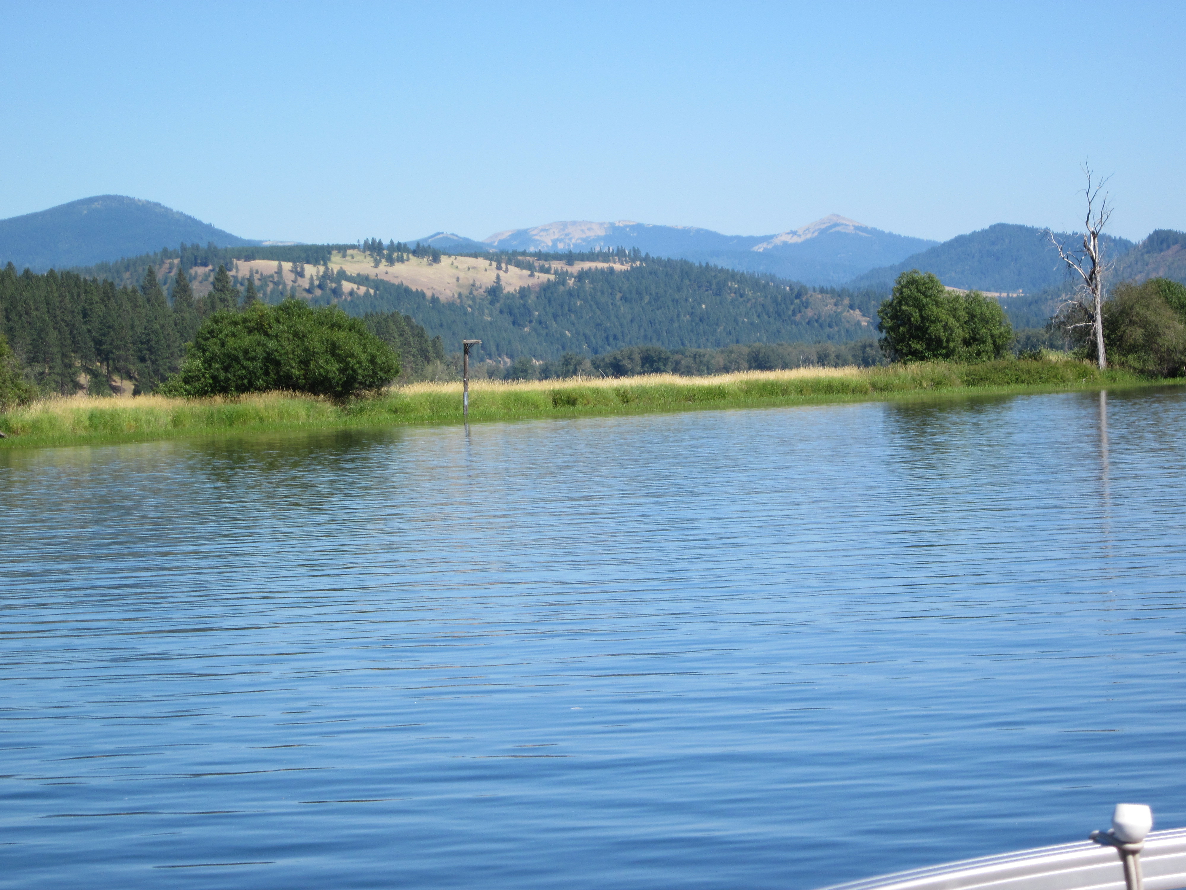
Evening on Lake Chatcolet
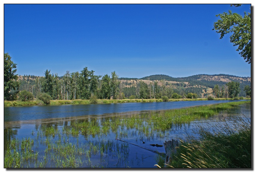
St Joe River, Idaho
St. Joe River, Idaho

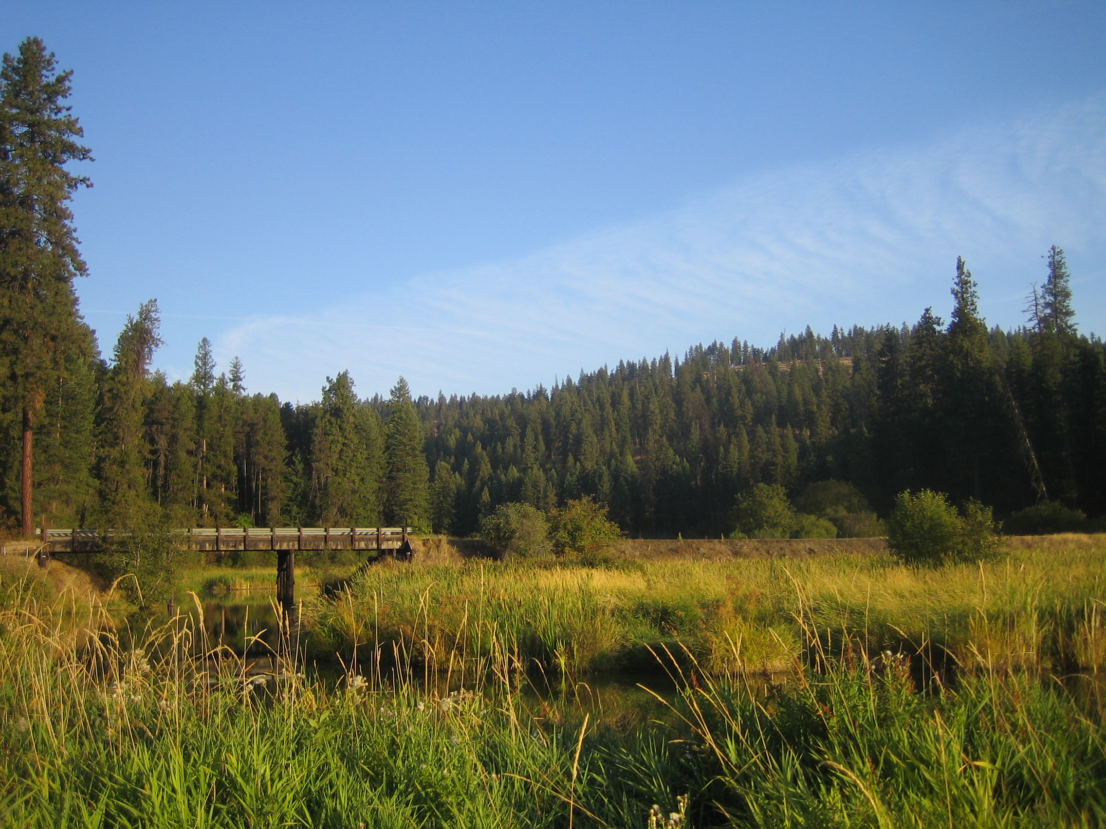
Bridge leading to Heyburn State Park
Mt Baldy over the St Joe
lake coeur d'alene : idaho
Fresh Tracks
St Joe River, Idaho
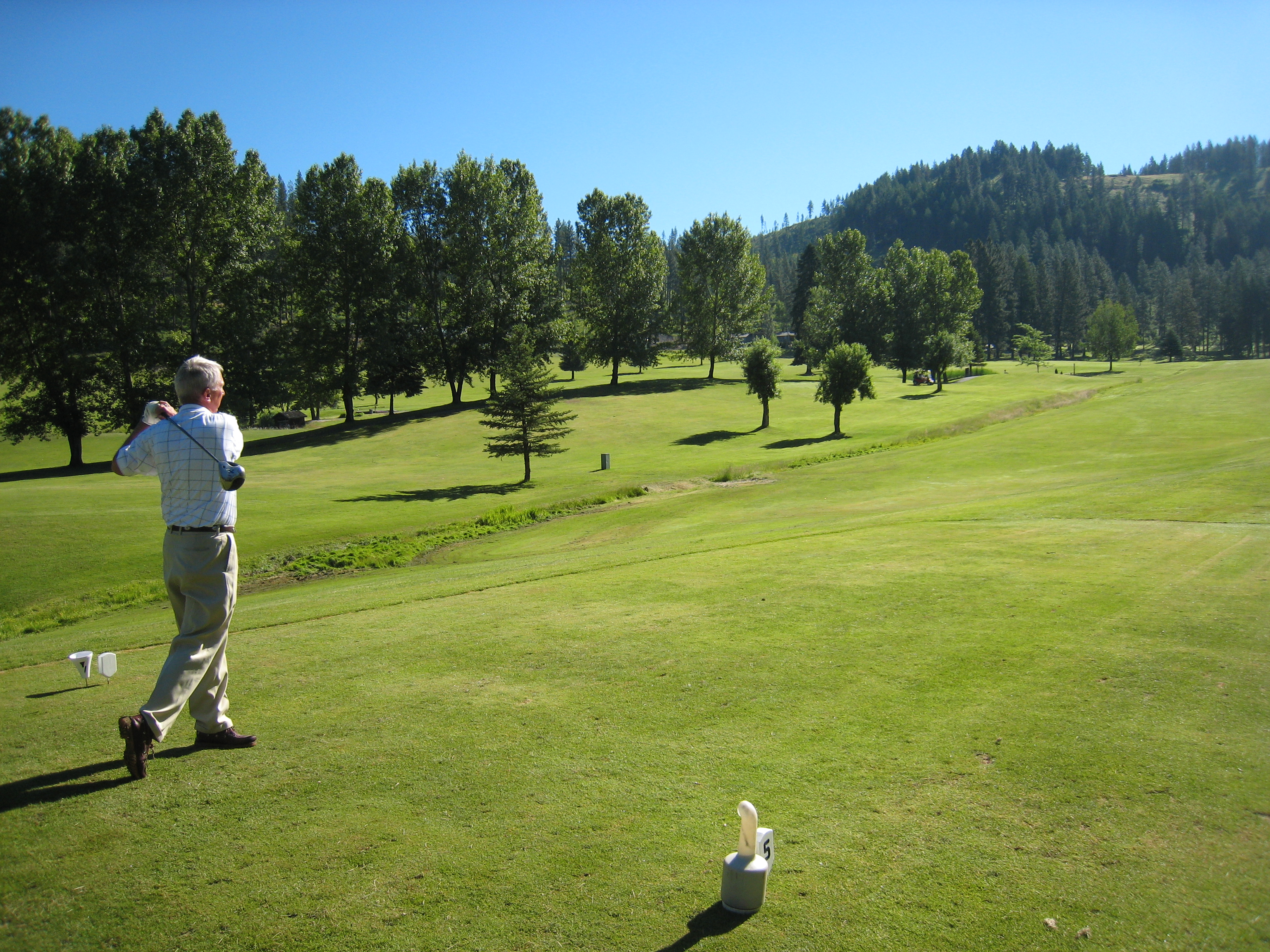
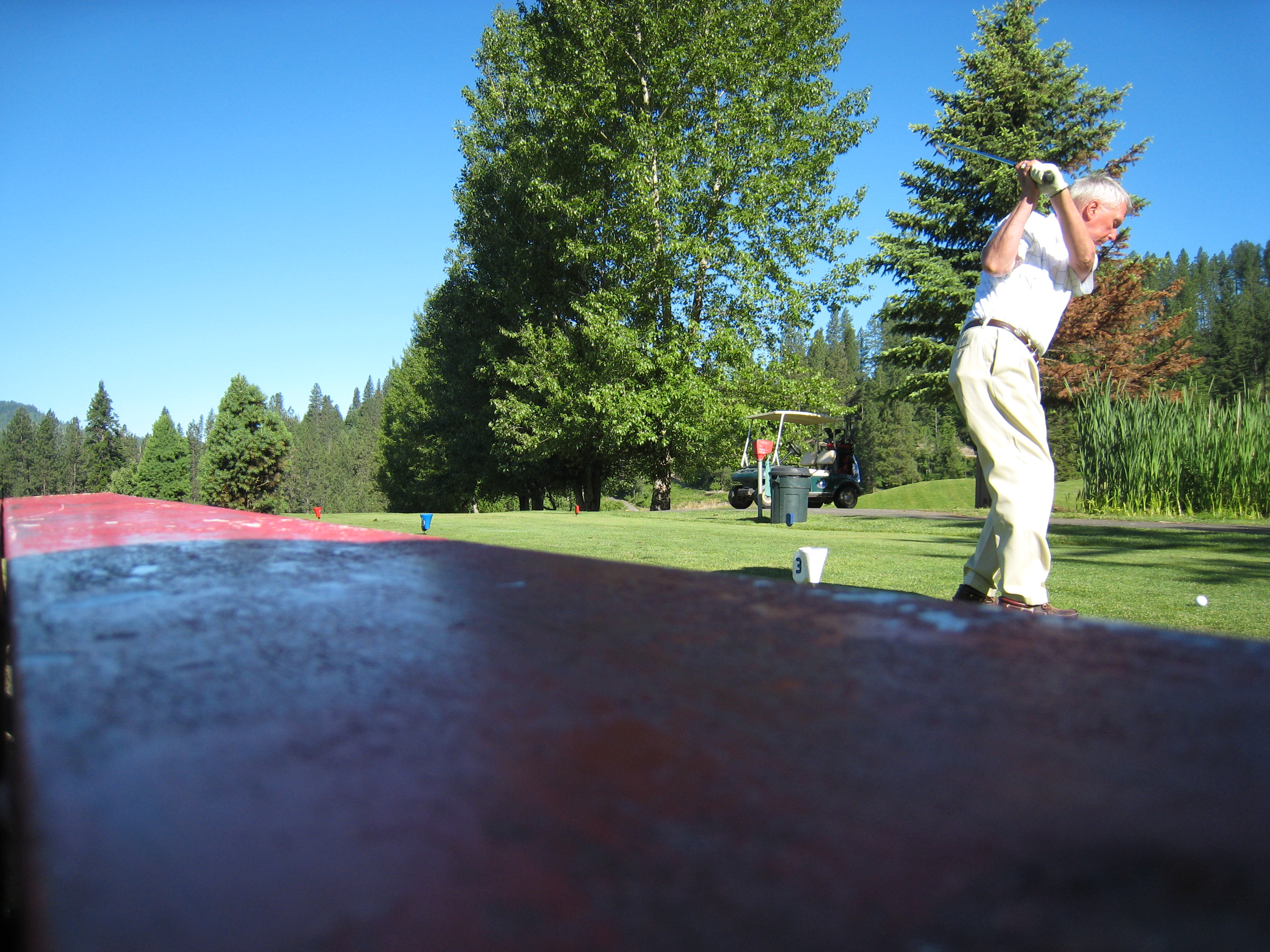
Nice Form
Topographic Map of Benewah County, ID, USA
Find elevation by address:

Places in Benewah County, ID, USA:
Places near Benewah County, ID, USA:
Cherry Creek Road
6134 Alder Creek Rd
82 Patches Ln
Alder Creek Road
Highland Springs Road
Parkline
515 S 7th St
Saint Maries
St. Maries High School
Sportsman Access
Jim's Auto & Tire Pros
650 Ridgeview Dr
75 Ella Rd, St Maries, ID, USA
55 Christmas Hills Rd
North Main Street
60 College Ave, St Maries, ID, USA
Emida
1455 Flat Creek Rd
227 Winter Way
344 Abbey Rd
Recent Searches:
- Elevation map of Greenland, Greenland
- Elevation of Sullivan Hill, New York, New York, 10002, USA
- Elevation of Morehead Road, Withrow Downs, Charlotte, Mecklenburg County, North Carolina, 28262, USA
- Elevation of 2800, Morehead Road, Withrow Downs, Charlotte, Mecklenburg County, North Carolina, 28262, USA
- Elevation of Yangbi Yi Autonomous County, Yunnan, China
- Elevation of Pingpo, Yangbi Yi Autonomous County, Yunnan, China
- Elevation of Mount Malong, Pingpo, Yangbi Yi Autonomous County, Yunnan, China
- Elevation map of Yongping County, Yunnan, China
- Elevation of North 8th Street, Palatka, Putnam County, Florida, 32177, USA
- Elevation of 107, Big Apple Road, East Palatka, Putnam County, Florida, 32131, USA
- Elevation of Jiezi, Chongzhou City, Sichuan, China
- Elevation of Chongzhou City, Sichuan, China
- Elevation of Huaiyuan, Chongzhou City, Sichuan, China
- Elevation of Qingxia, Chengdu, Sichuan, China
- Elevation of Corso Fratelli Cairoli, 35, Macerata MC, Italy
- Elevation of Tallevast Rd, Sarasota, FL, USA
- Elevation of 4th St E, Sonoma, CA, USA
- Elevation of Black Hollow Rd, Pennsdale, PA, USA
- Elevation of Oakland Ave, Williamsport, PA, USA
- Elevation of Pedrógão Grande, Portugal