Elevation of Saint-Alban-sur-Limagnole, France
Location: France > Lozère >
Longitude: 3.3905053
Latitude: 44.7843785
Elevation: 1015m / 3330feet
Barometric Pressure: 90KPa
Elevation Map:
Satellite Map:
Related Photos:
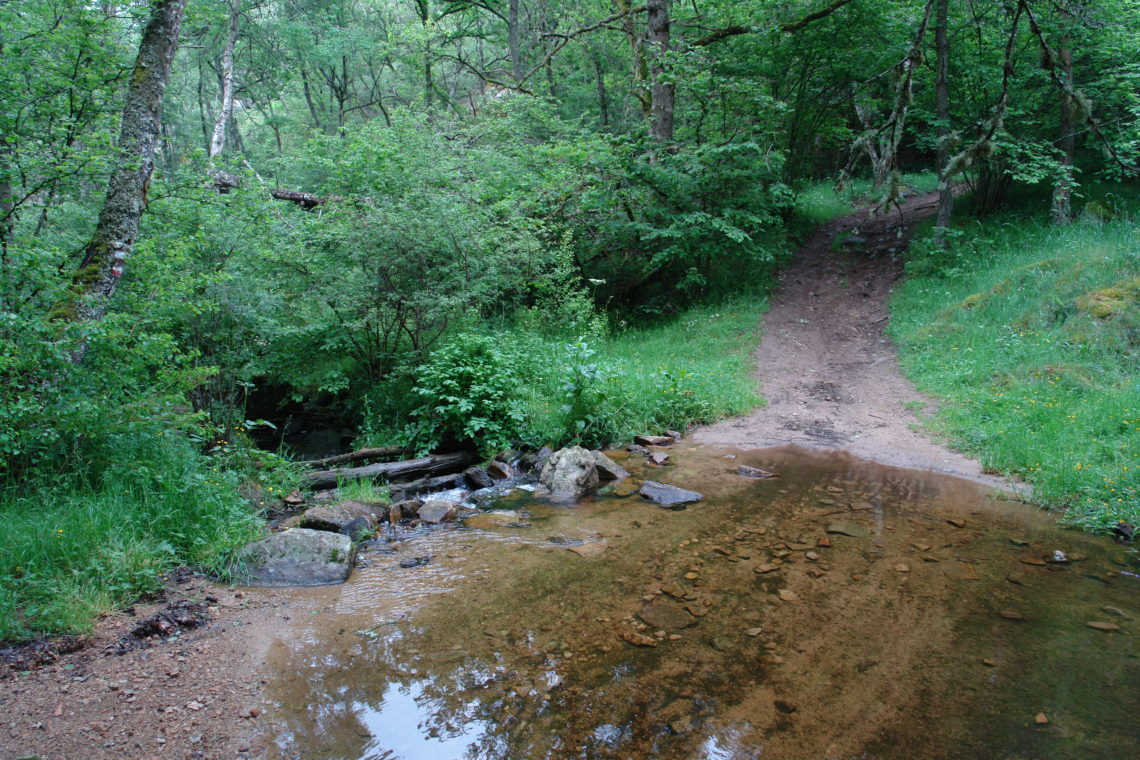
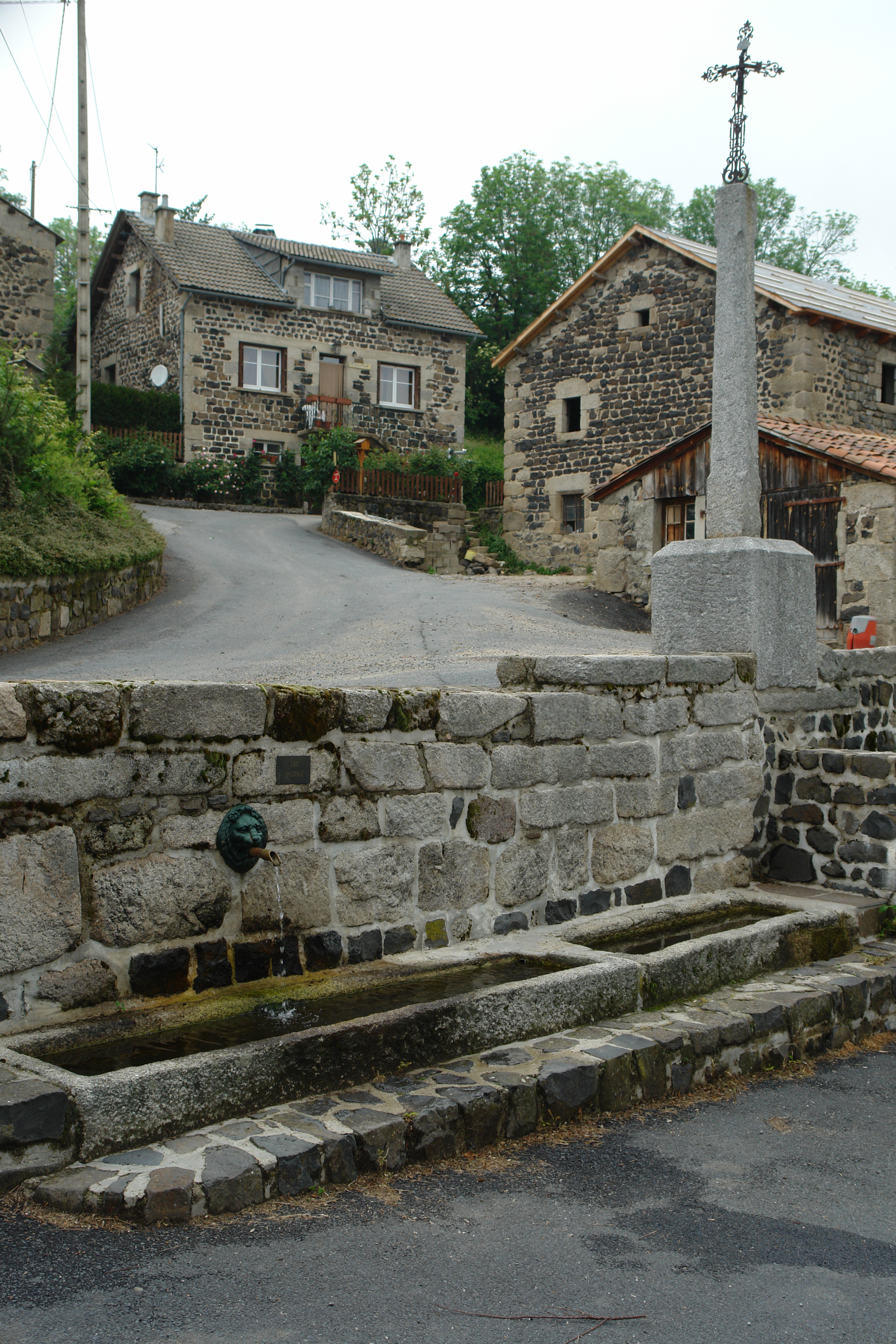
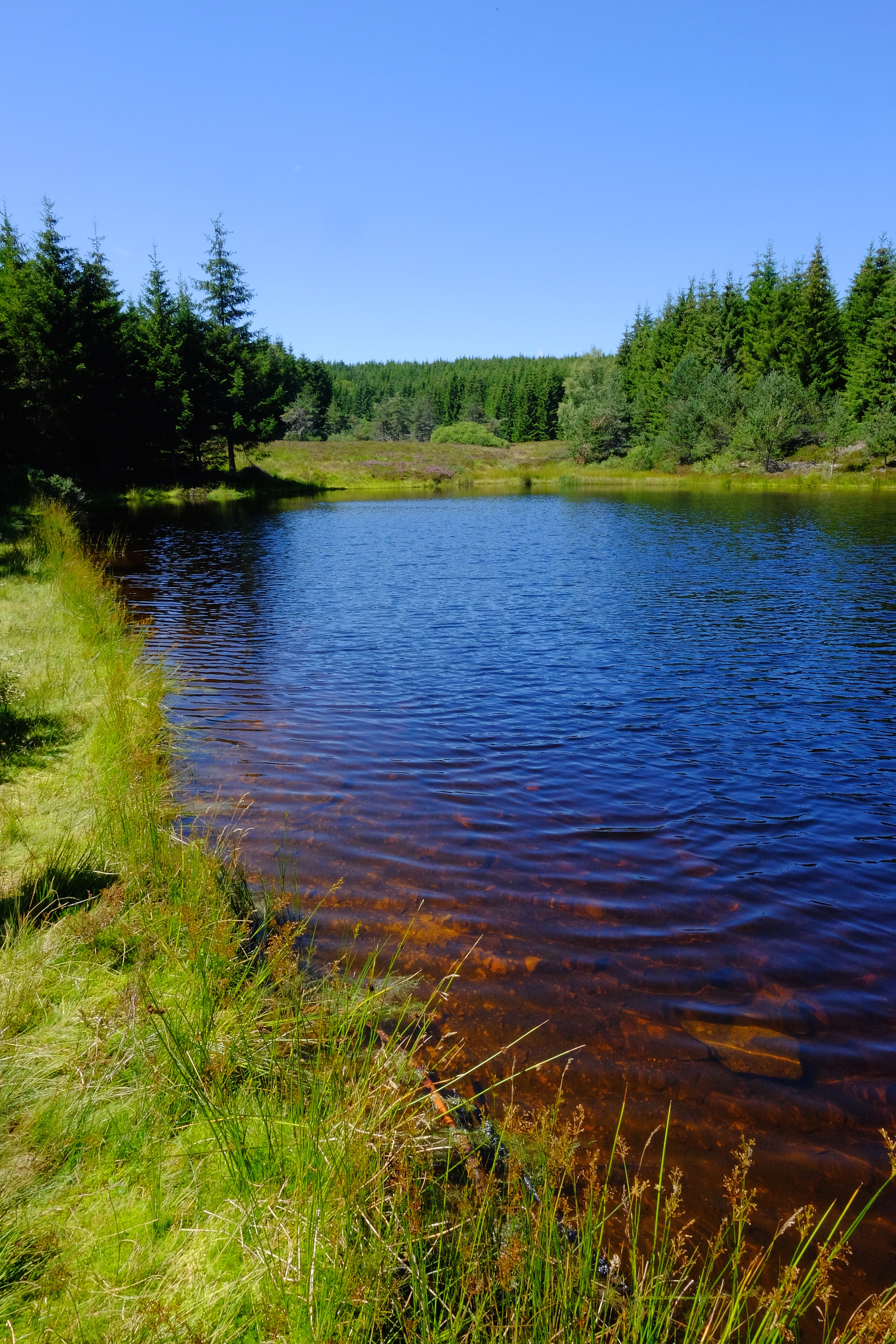
A stream crosses the GR
Crossing La Chan
Betsy Street View en France: flitspaal
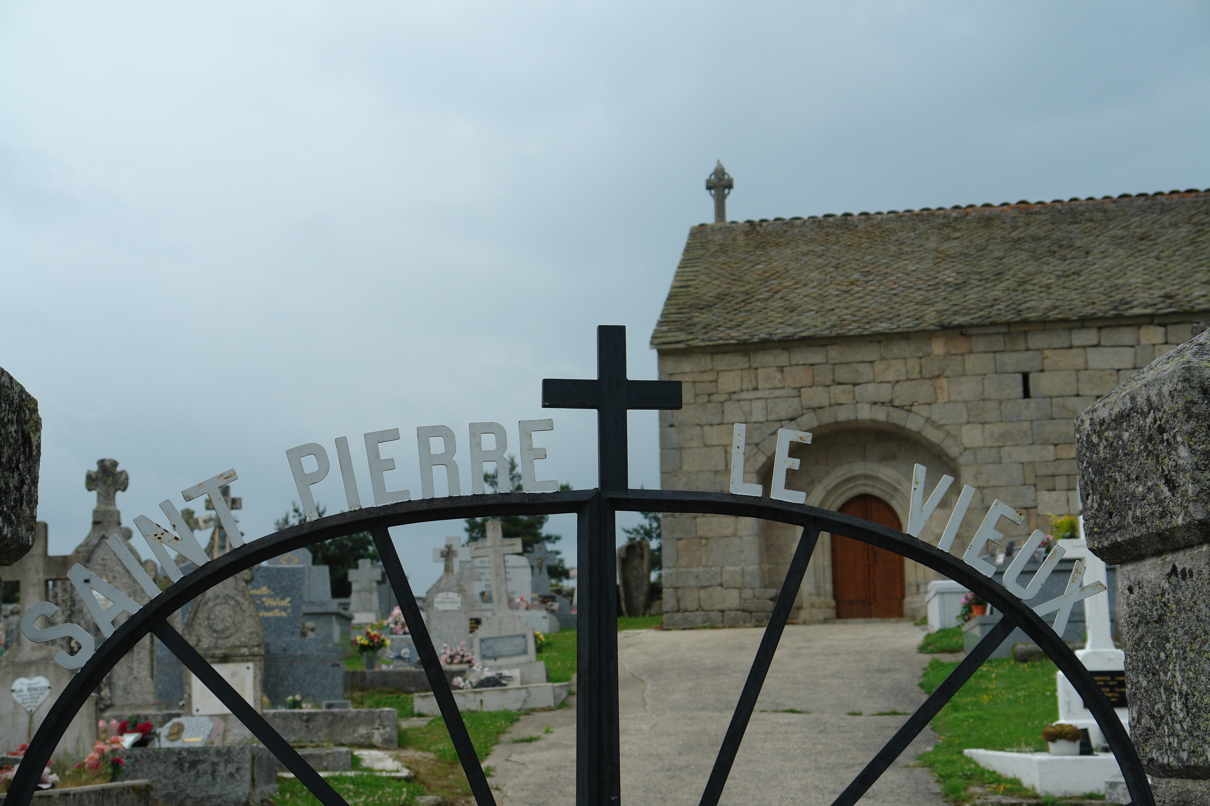
St Pierre le Vieux
St Pierre le Vieux
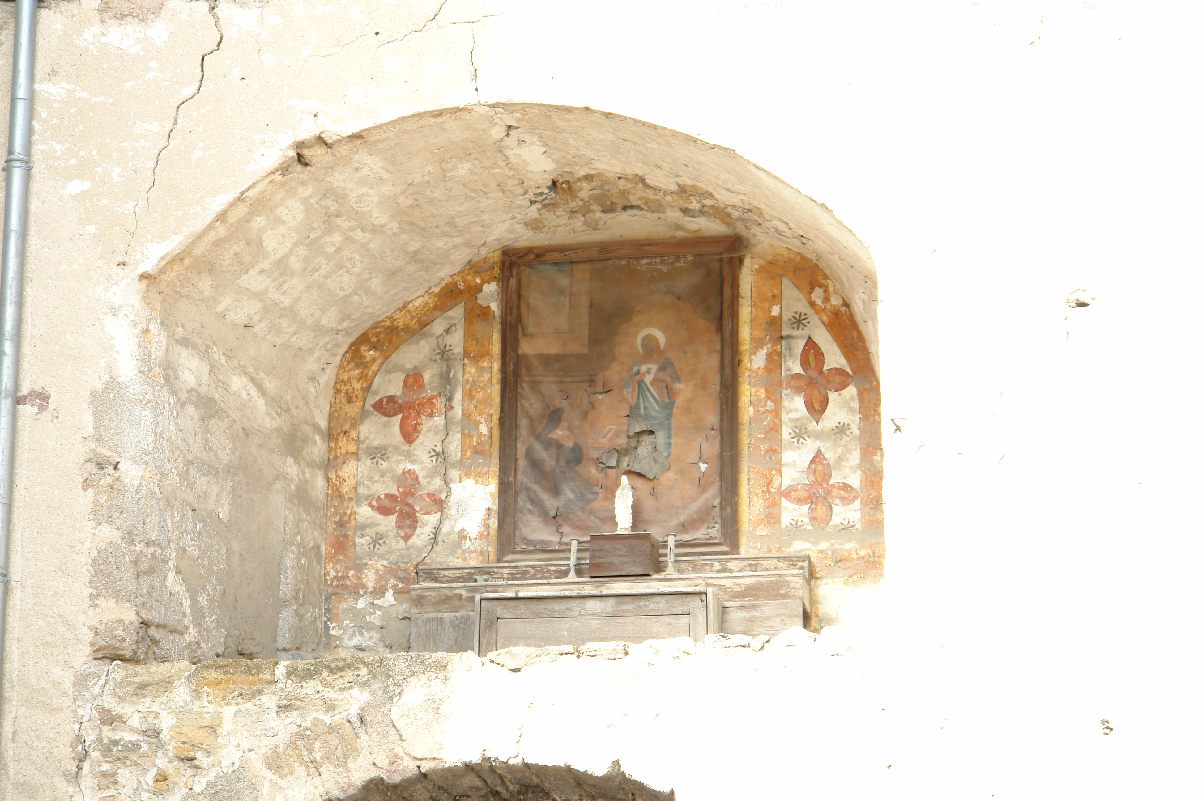
Painting over gate, Malzieux
On the path to Grandrieu
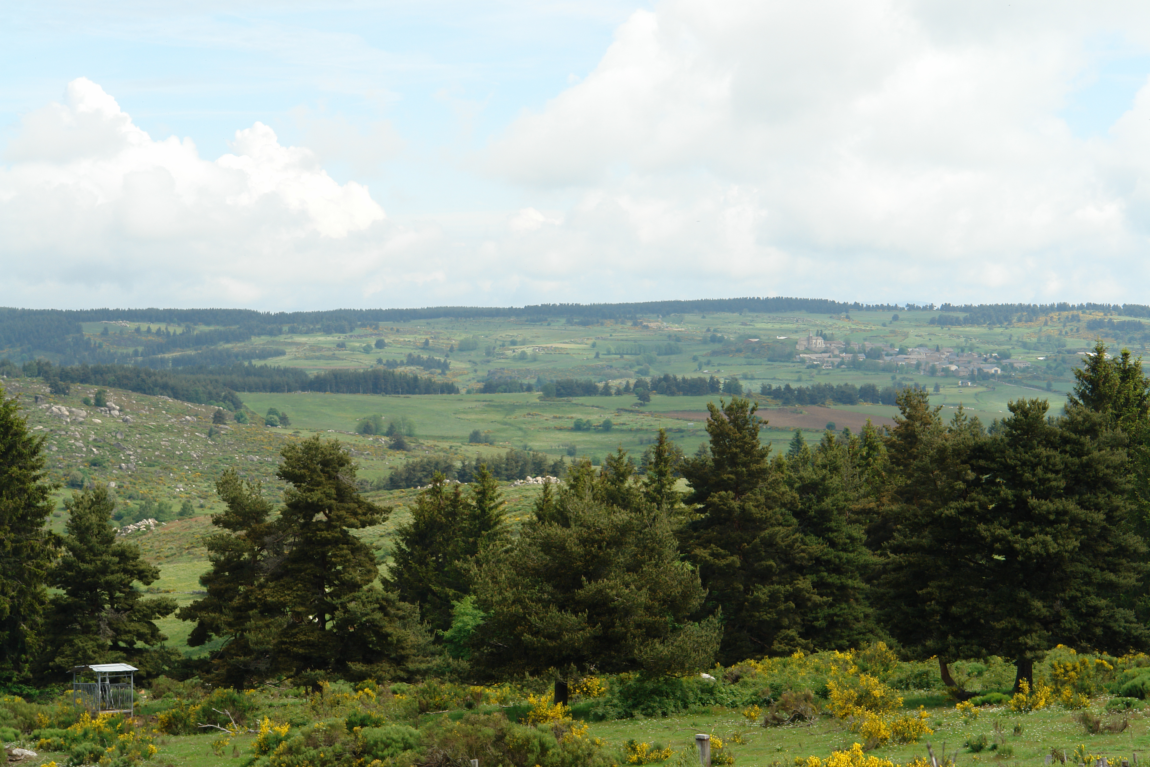
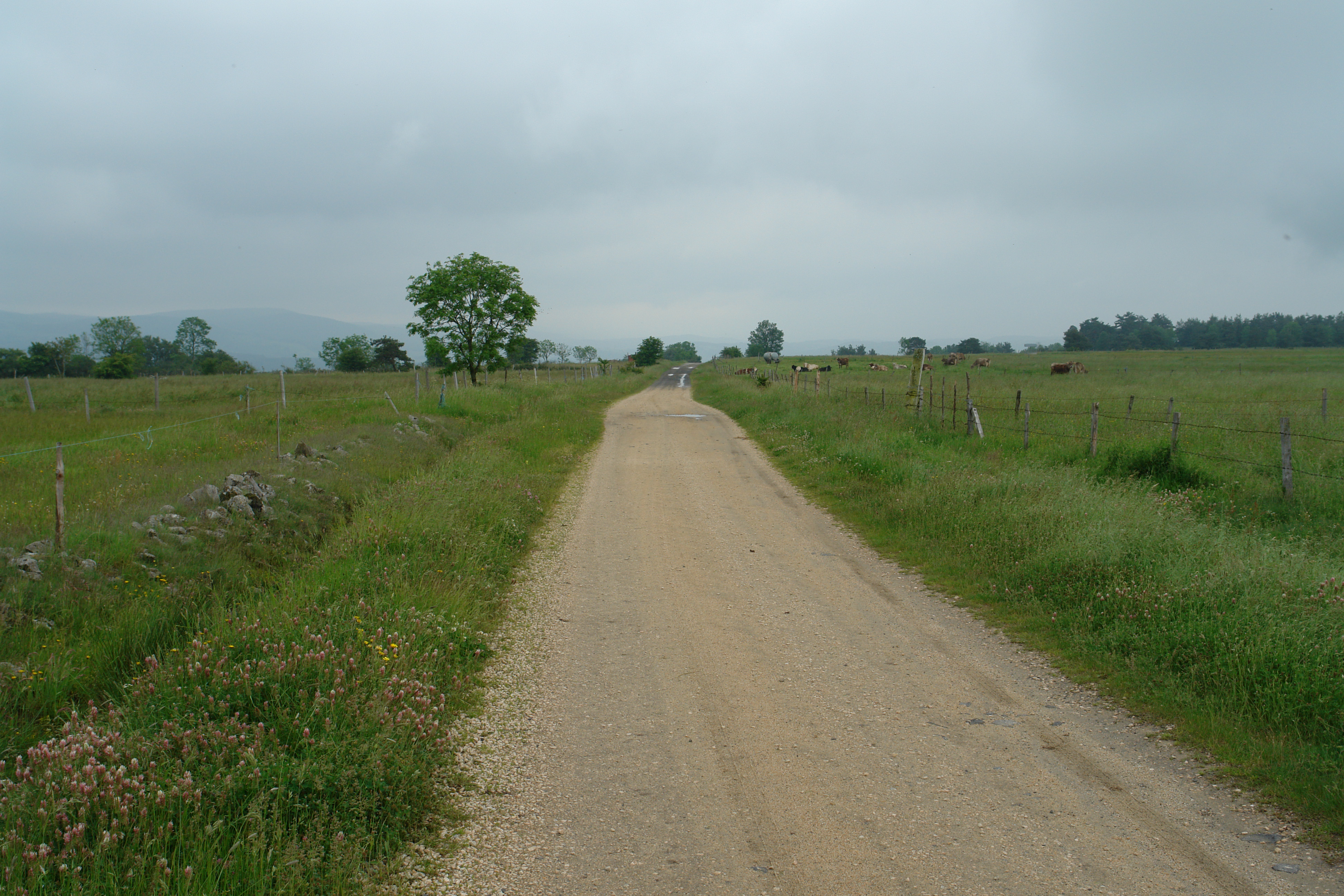
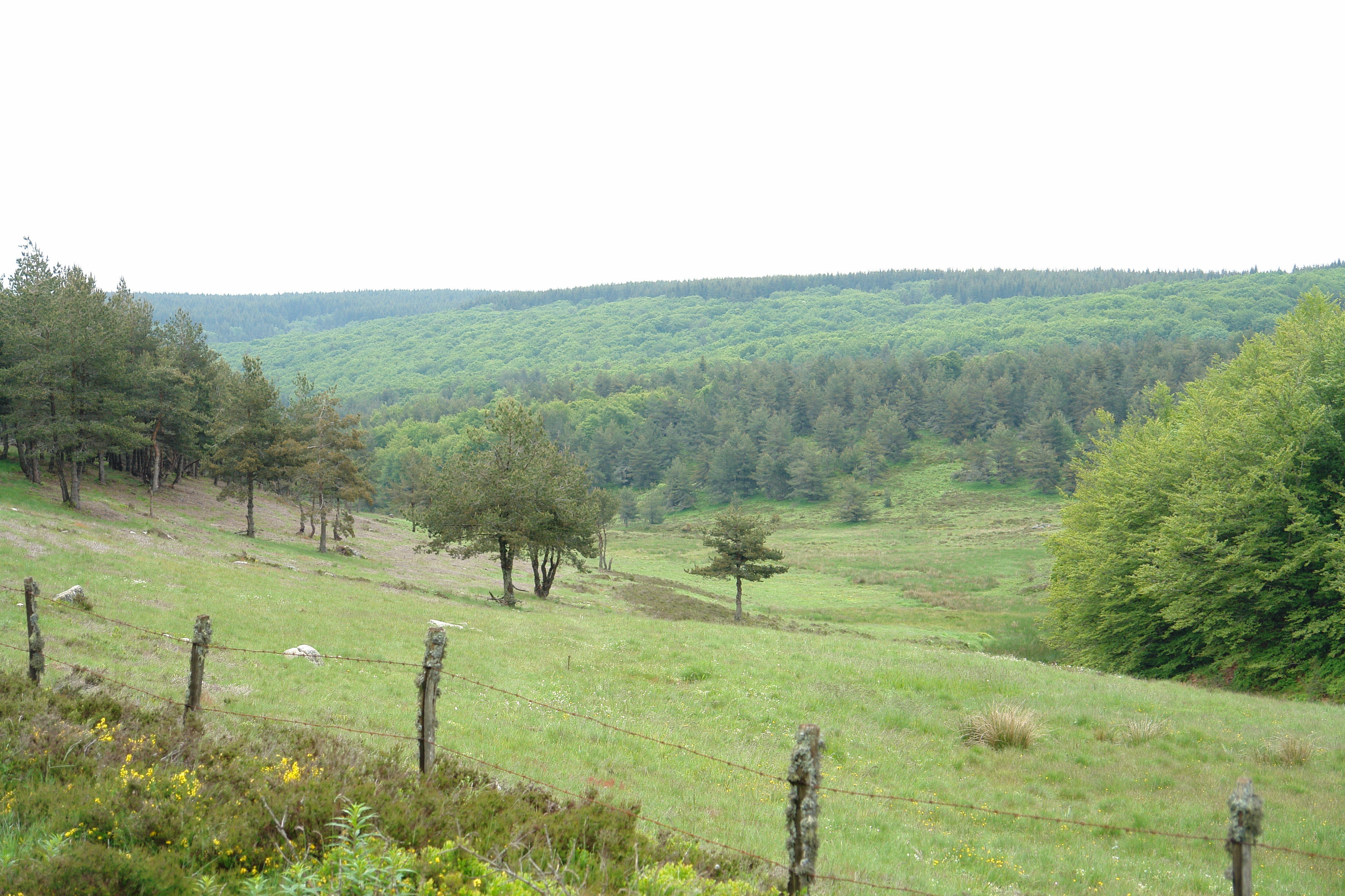
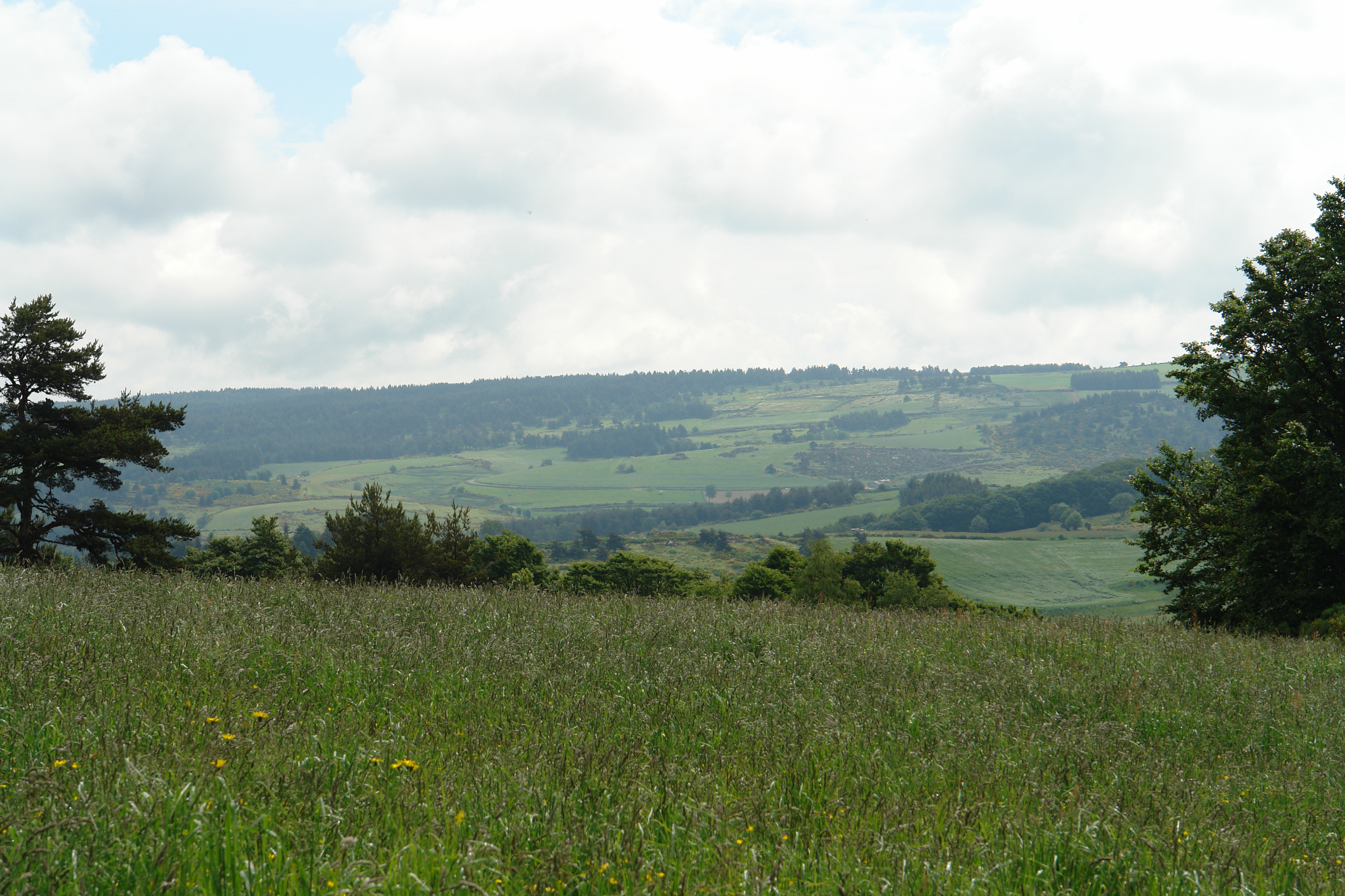
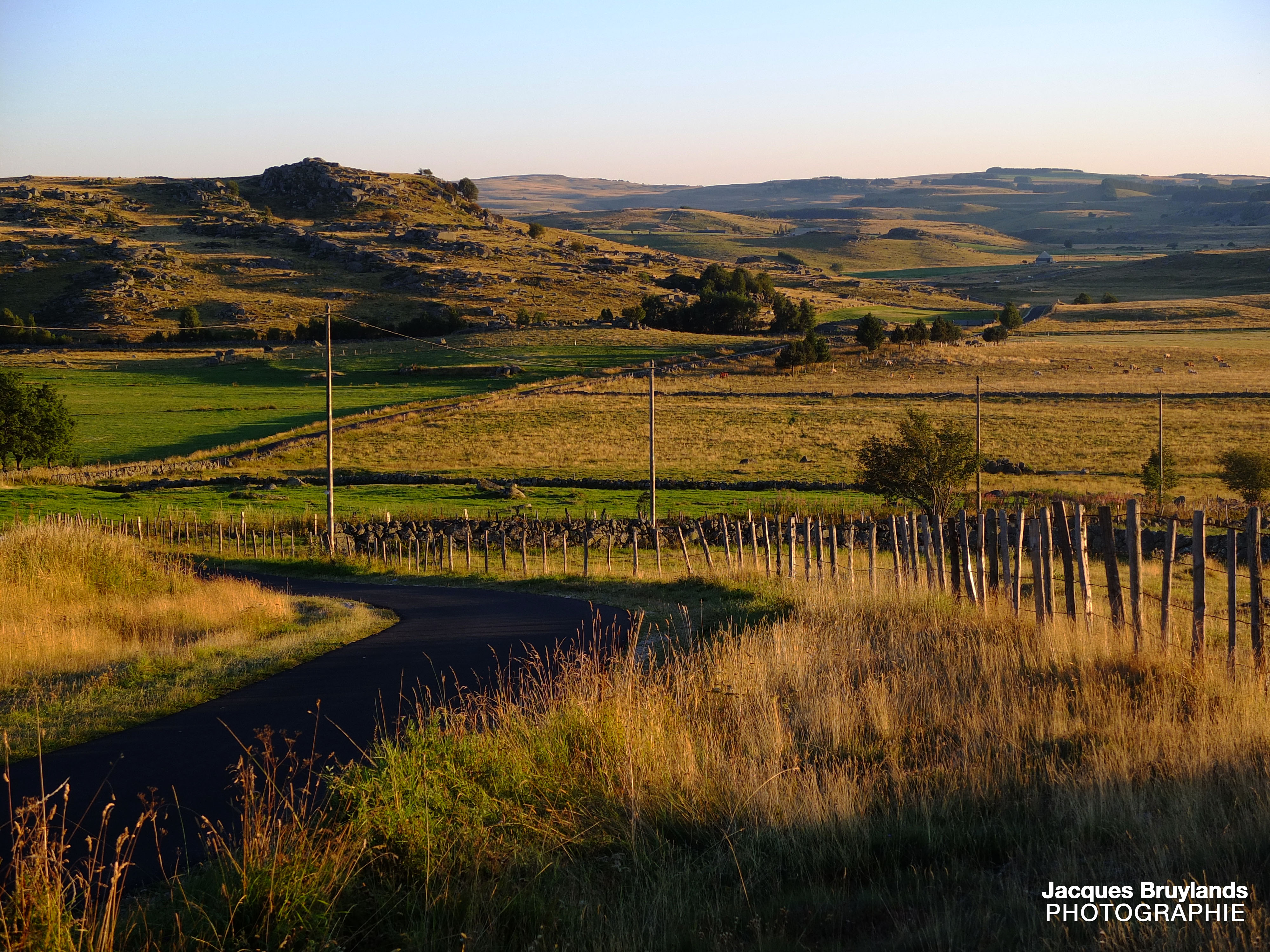
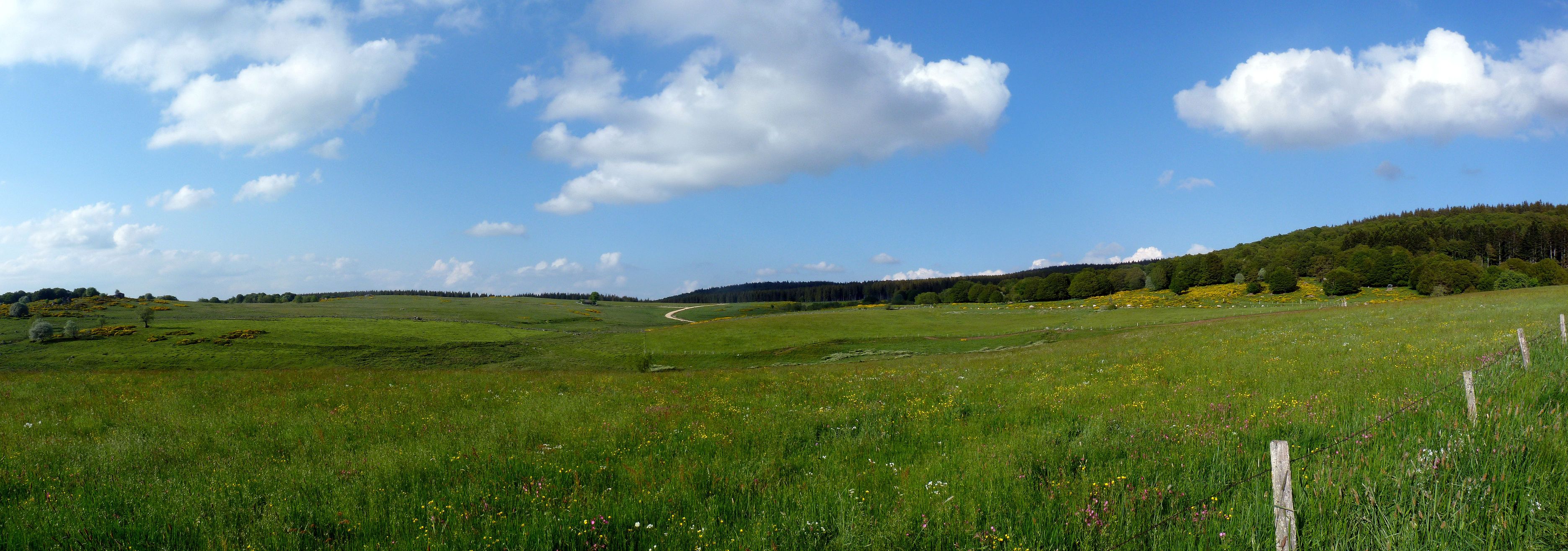
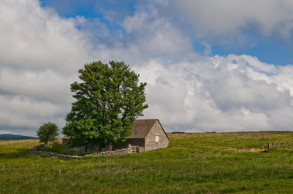
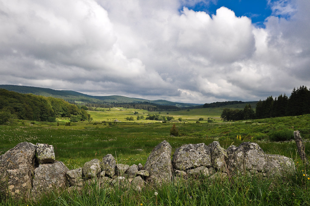
Lozere landscape
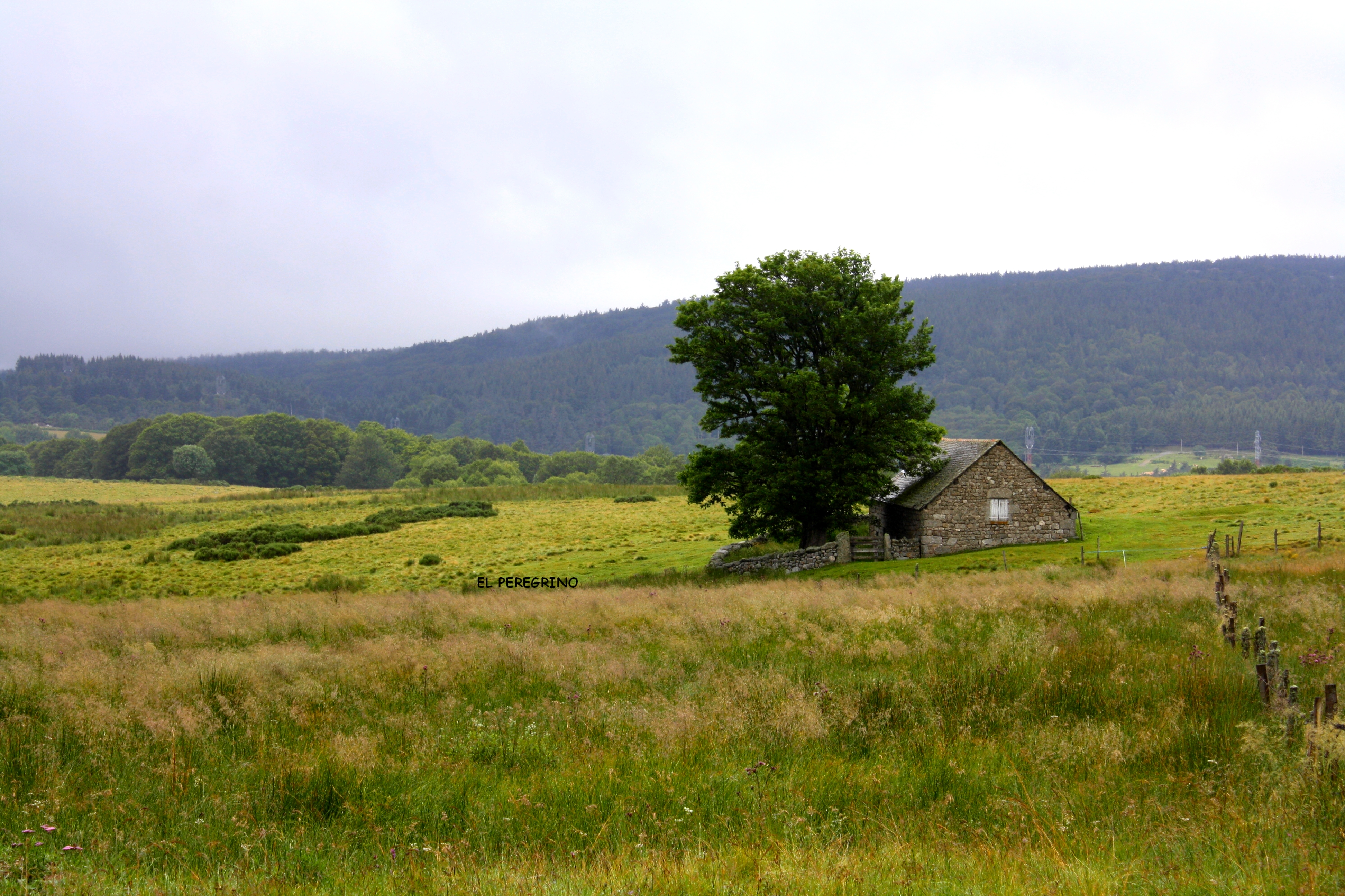
Le Vessiere
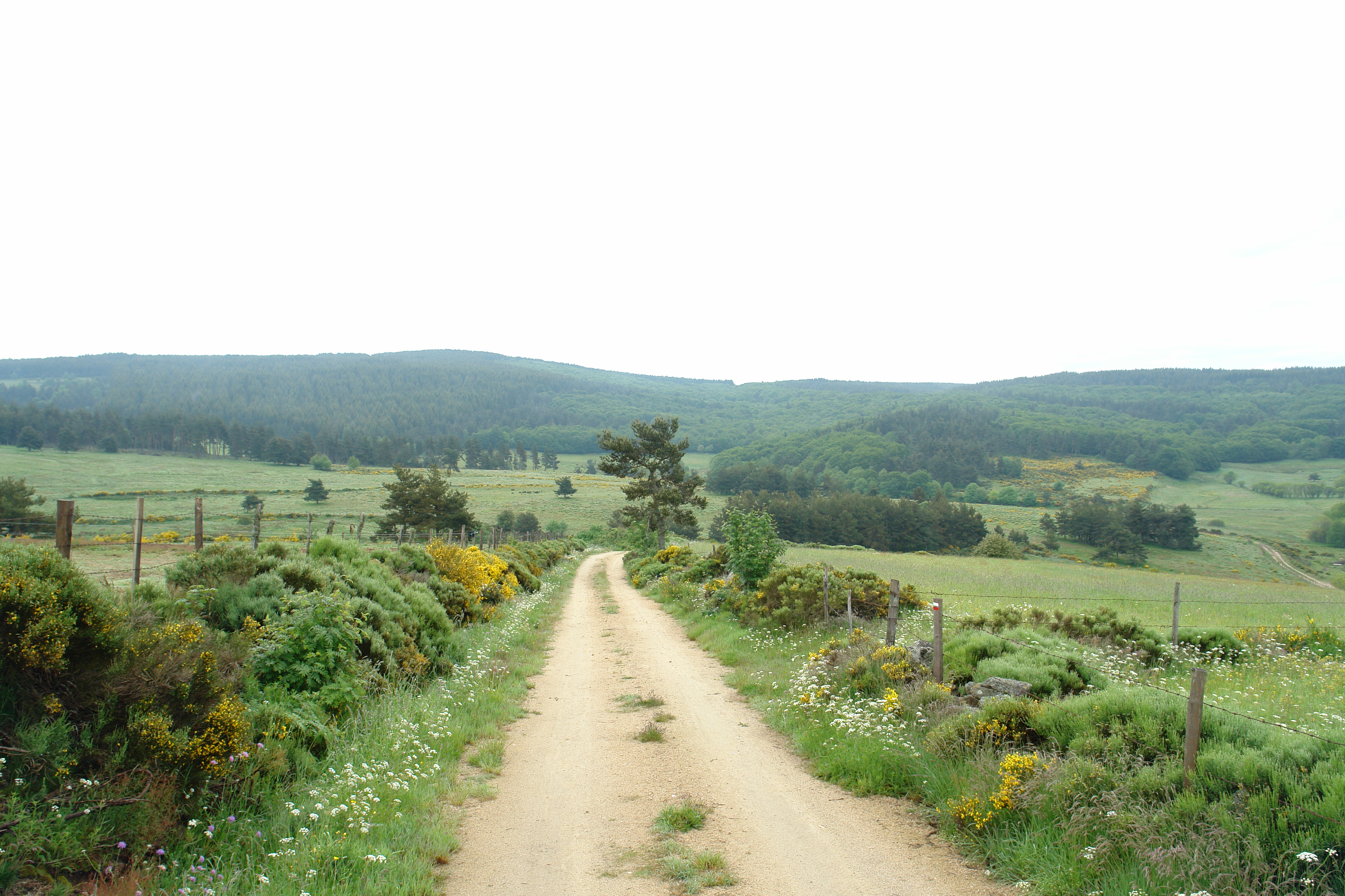
The path to Grandrieu
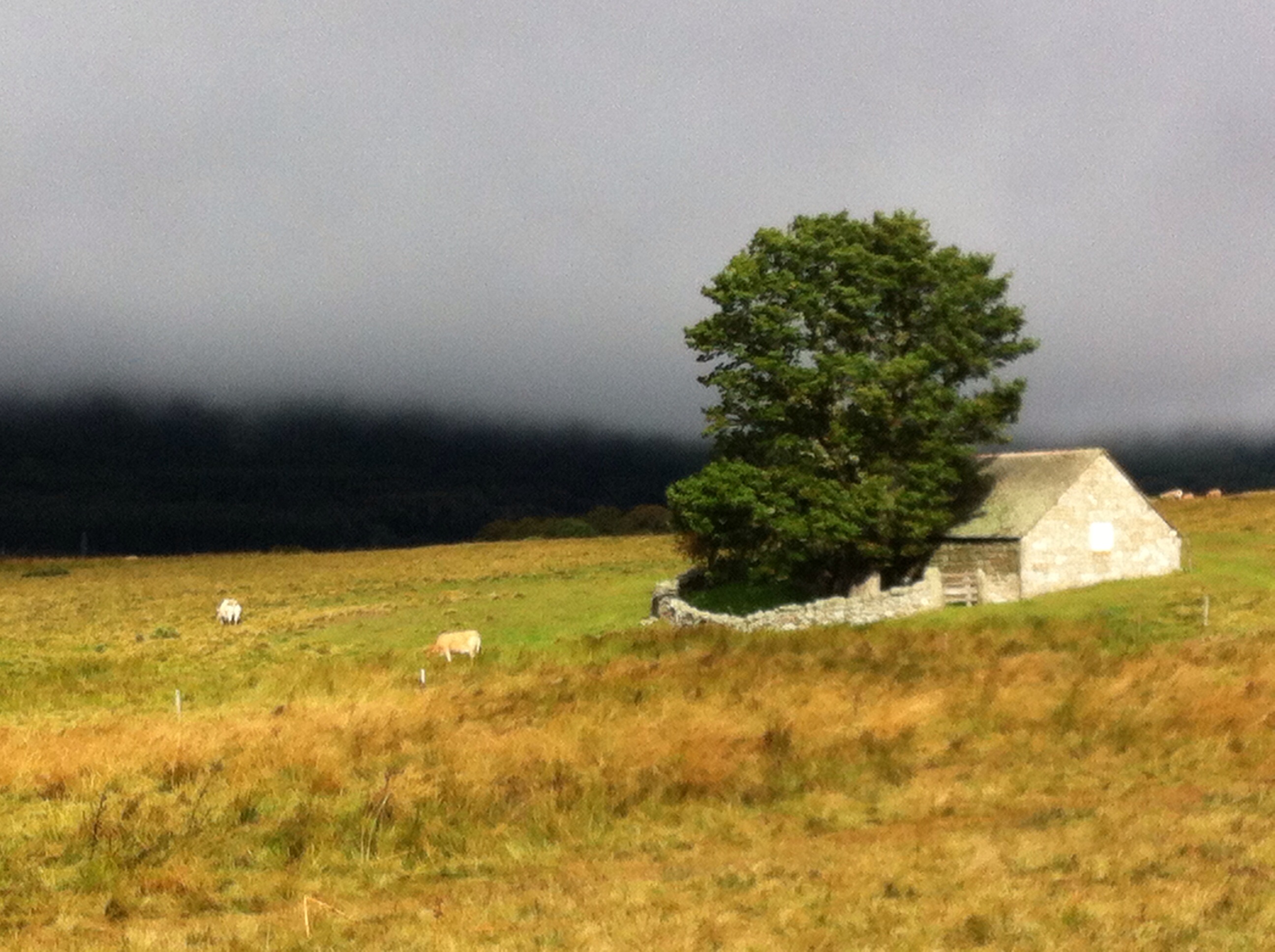
In the Lozere
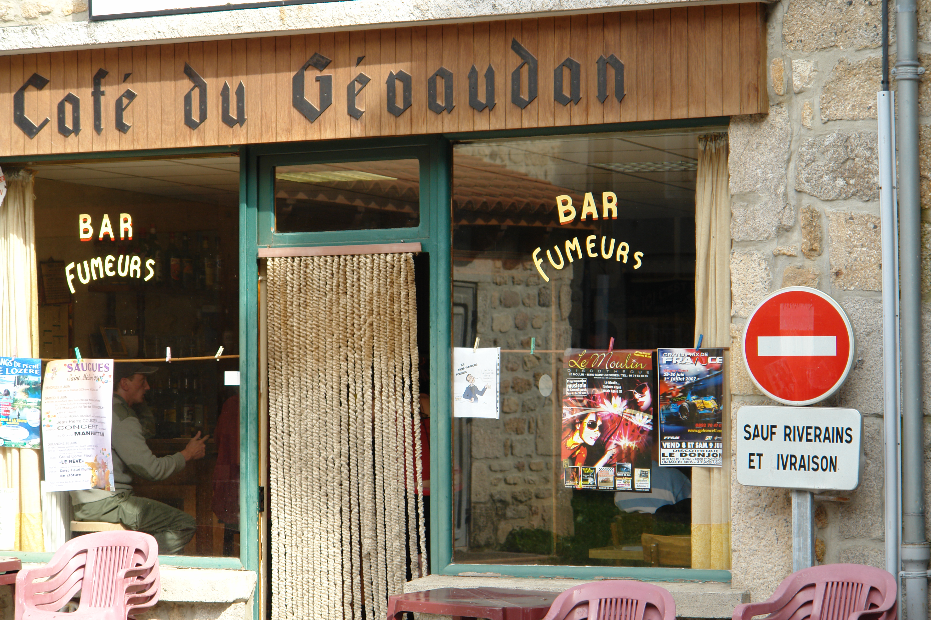
Smokers bar, Malzieux
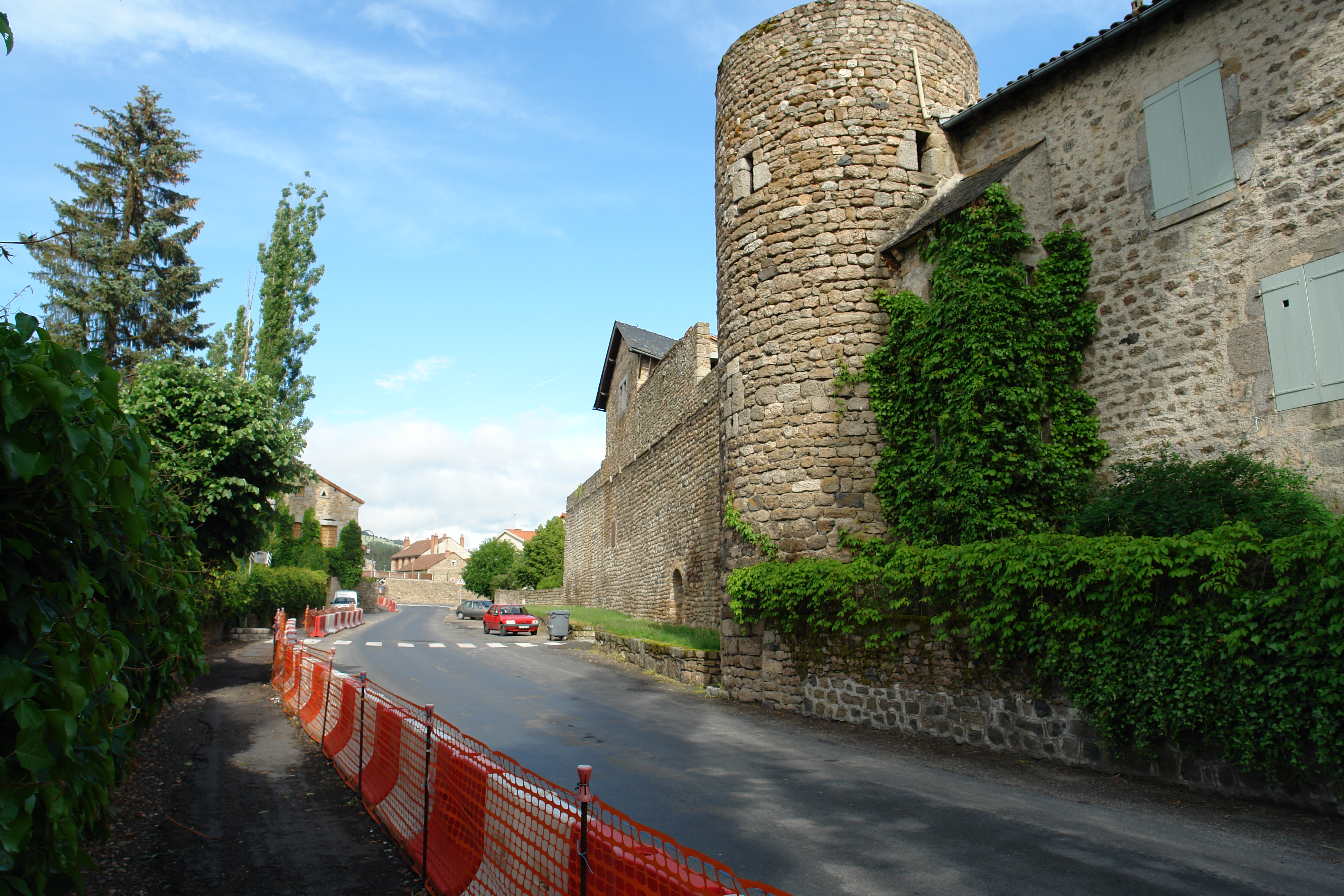
Malzieux - the Ramparts
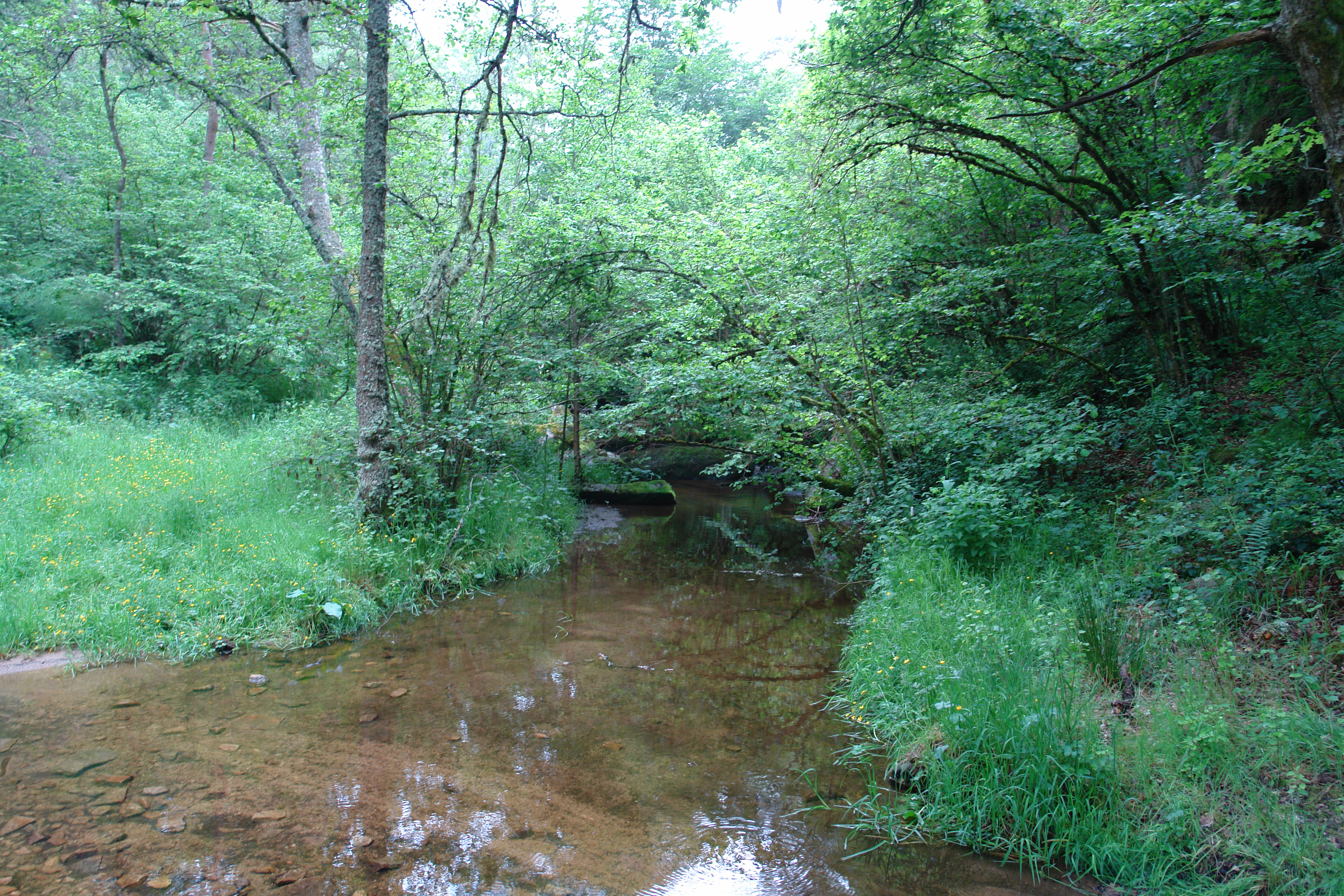
A stream crosses the GR
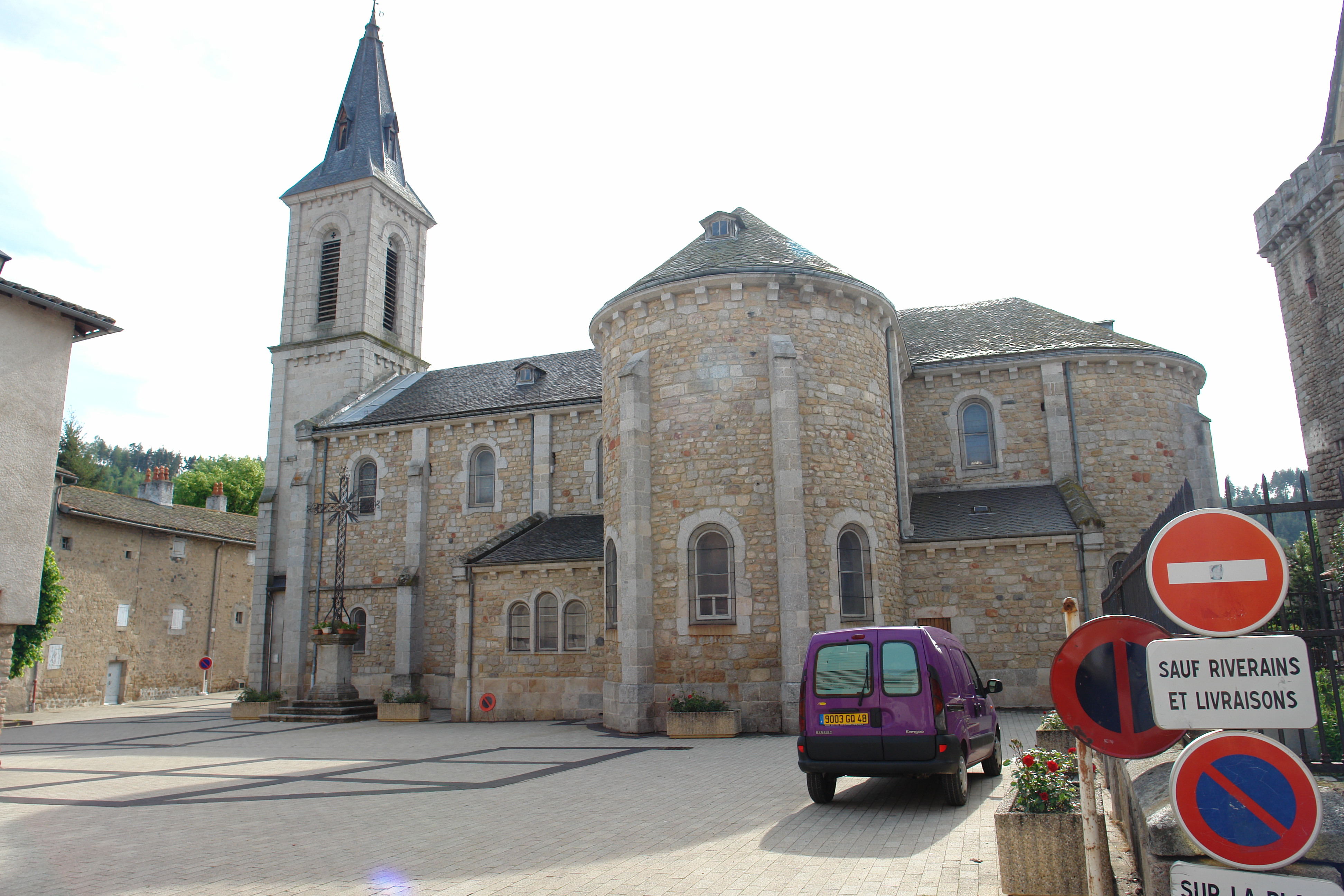
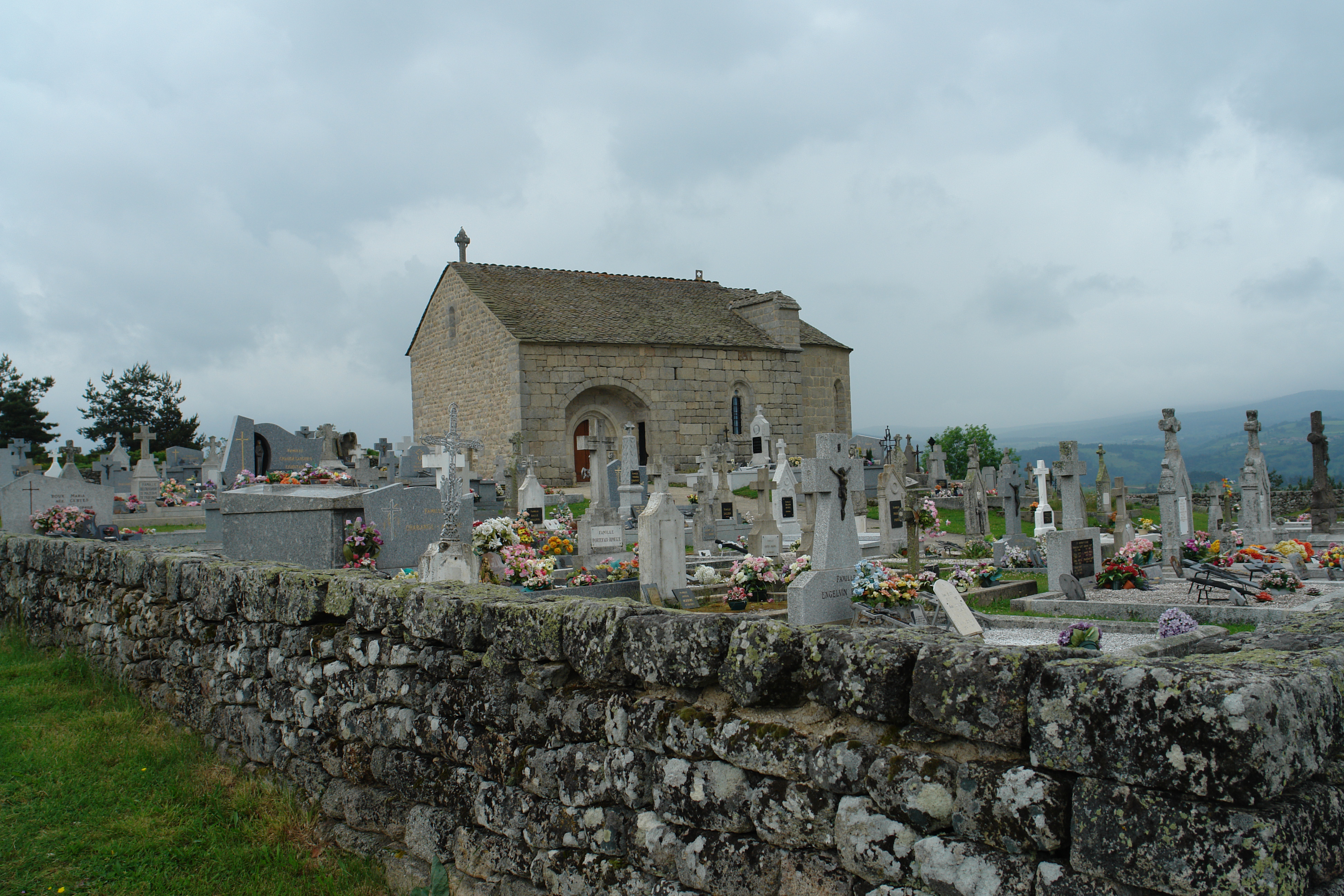
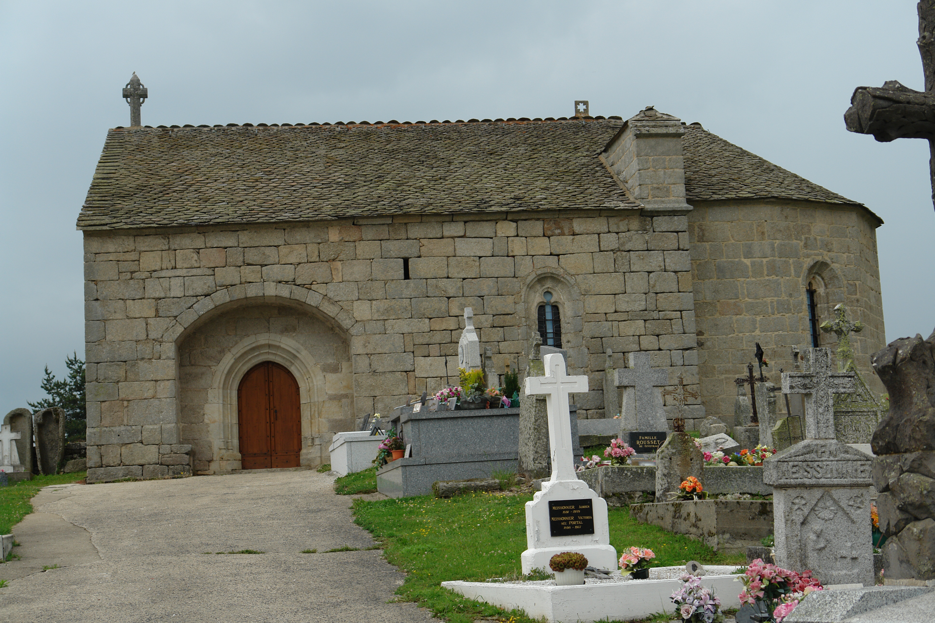
Malzieux - the church
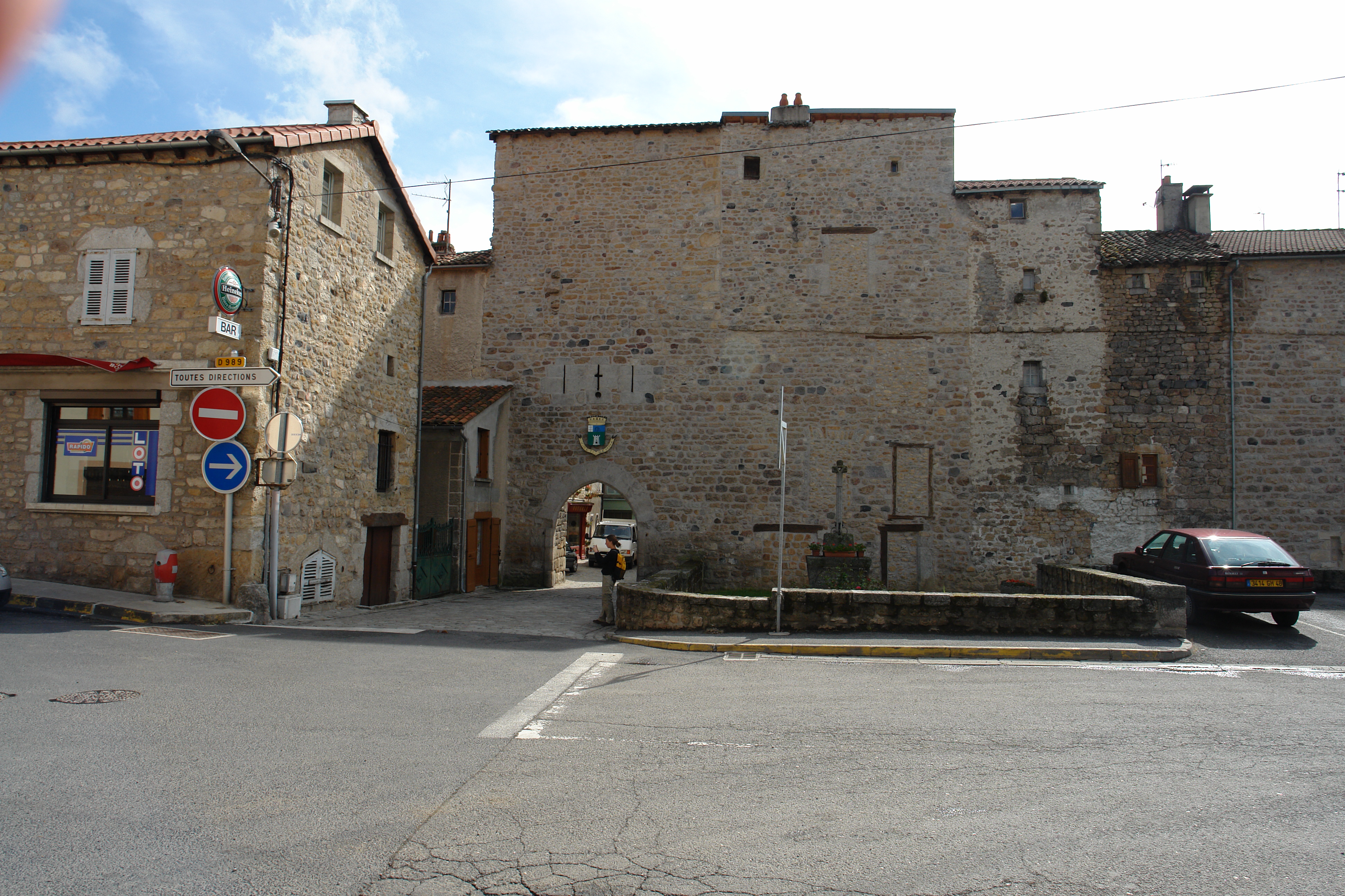
The gate, Malzieux
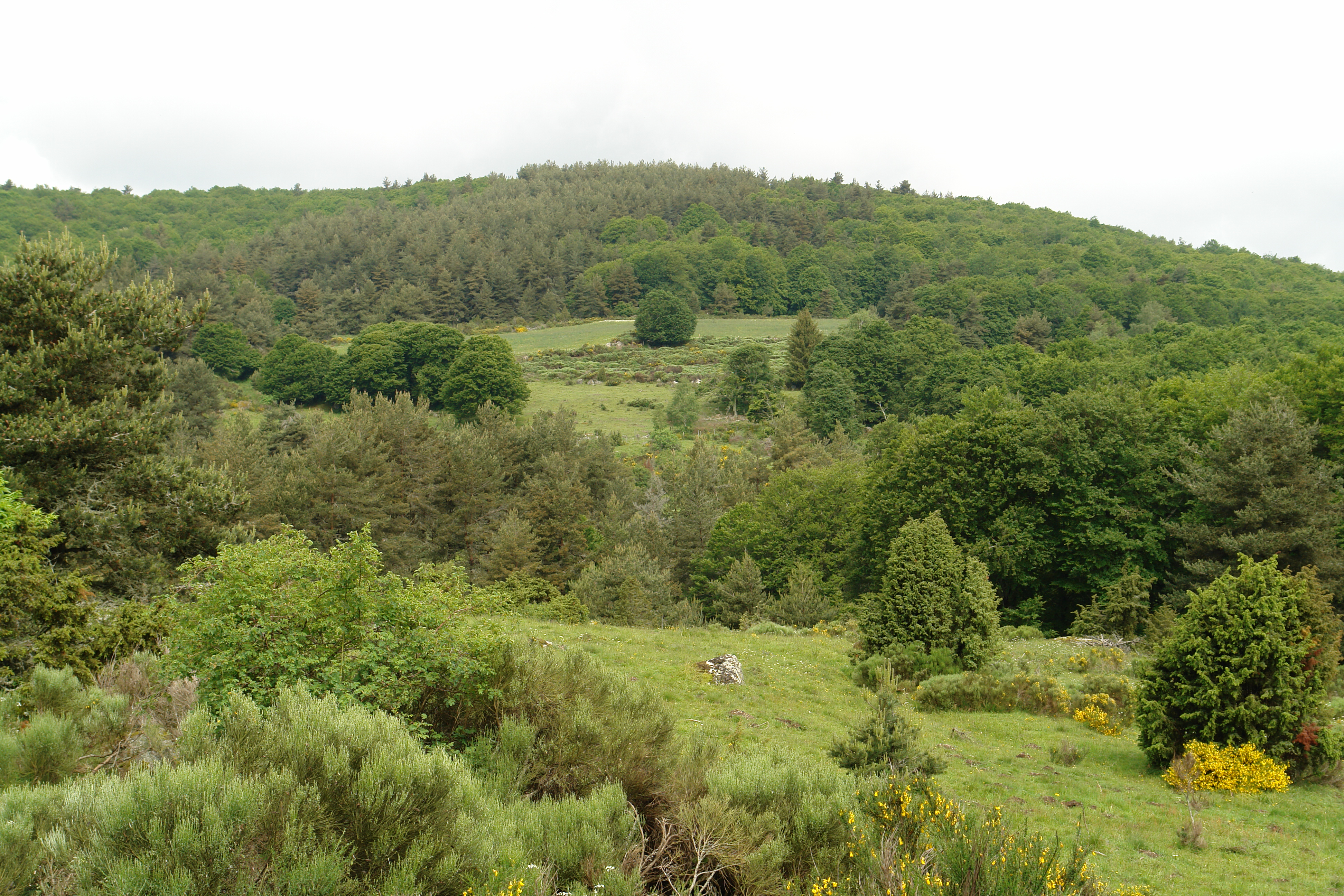
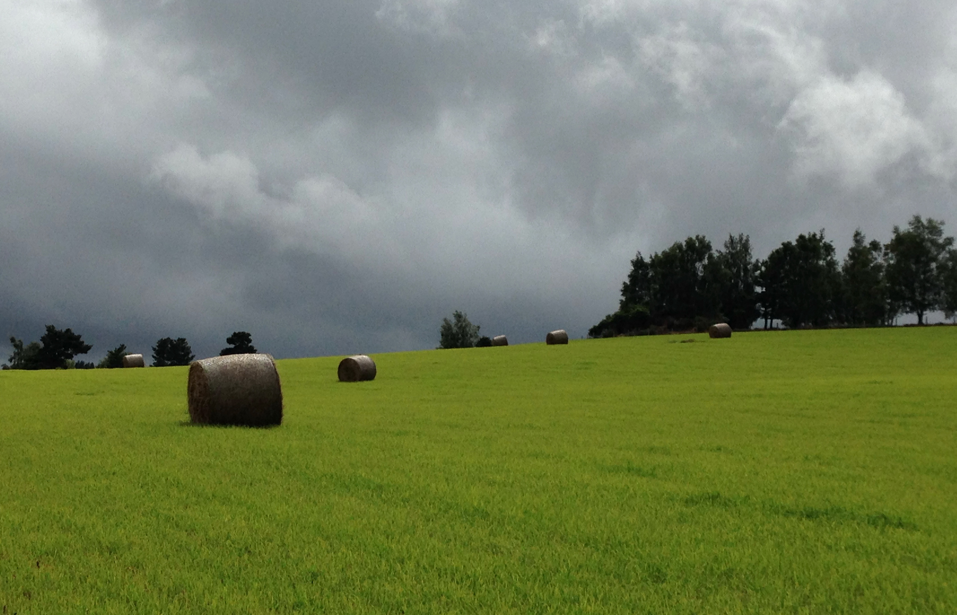
Lozere landscape
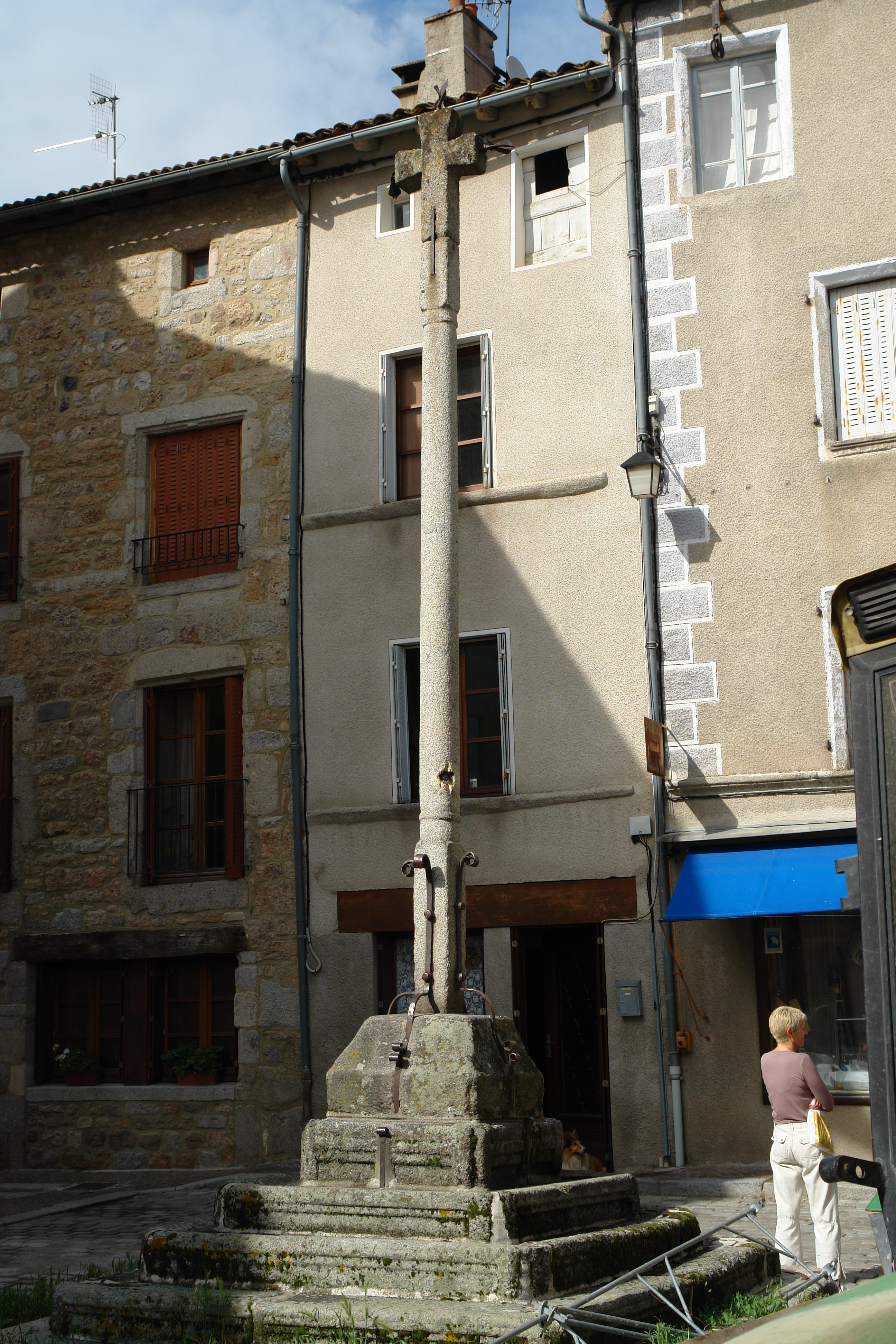
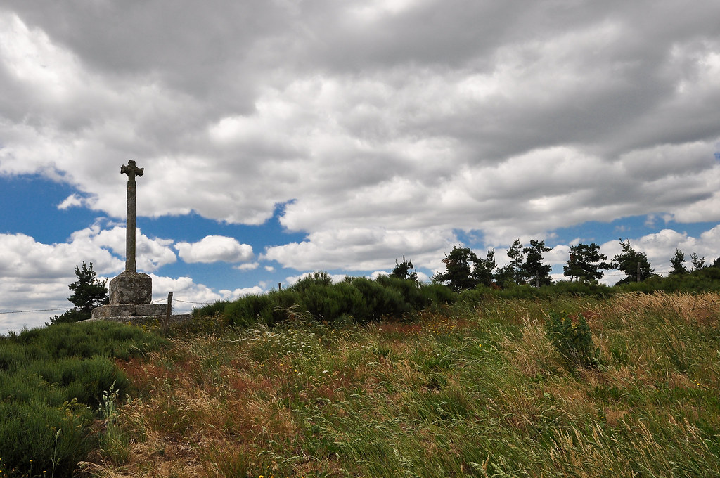
Market cross, Malzieux
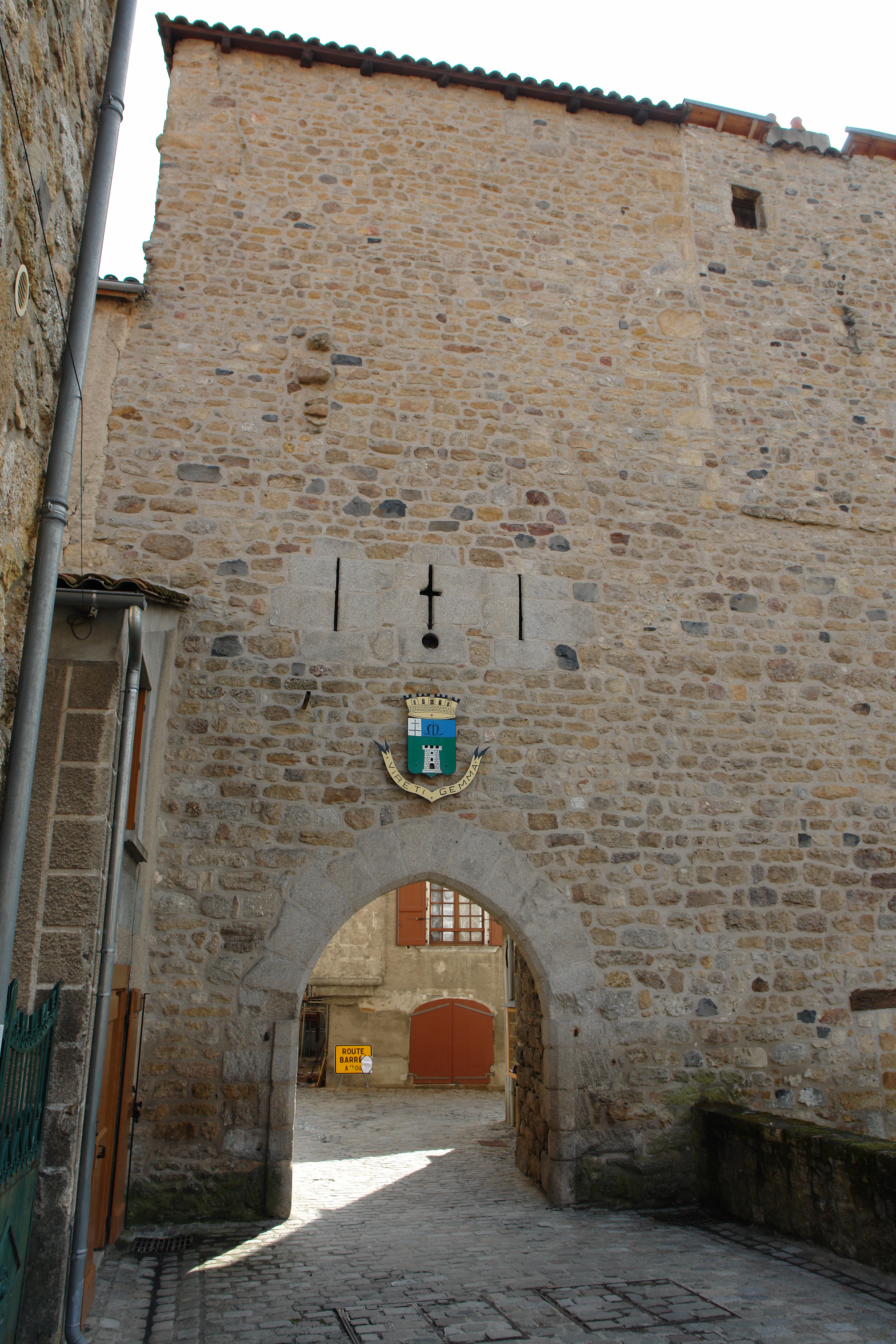
The gate, Malzieux
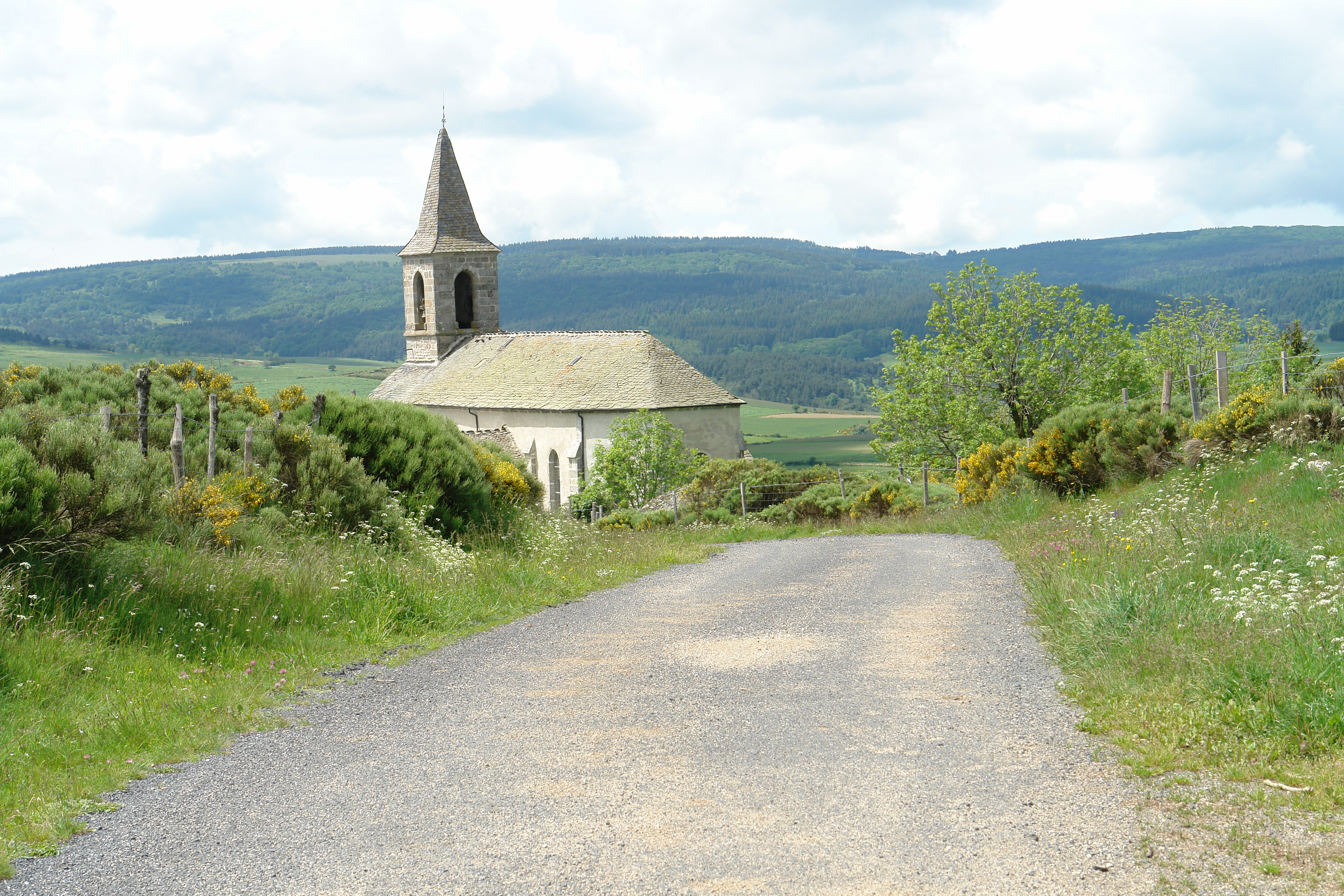
The church at St Paul le Froid
St Pierre le Vieux
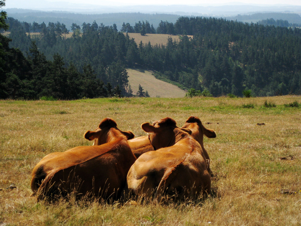
Chemin de St JAcques de Compostelle en Aubrac

Paesaggio vicino Le Sauvage

Ruisseau chassagne
La casa nella prateria 2
Ruisseau chassagne
Le Domaine du Sauvage
Camino 2009
14 août 08

pas loin de st chely, à fontans (29)
Via Podiensis

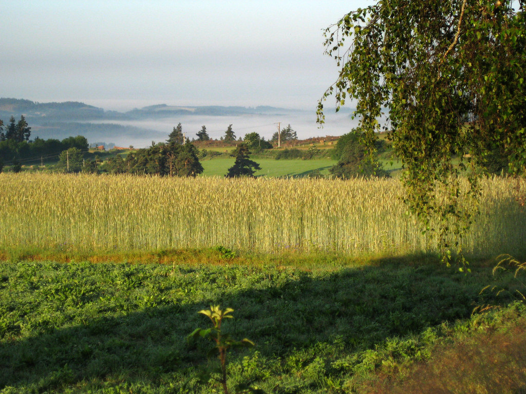
Brume d'automne
Via Podiensis
L'été comme un printemps
LE SAUVAGE , sur les Chemins de Saint-Jacques de Compostelle entre Monistrol d'Allier et Aumont -Aubrac
Camino 2009

328 - CA 150407 265 GR65CHAZEAUX46
2014-08-18-Margeride-24
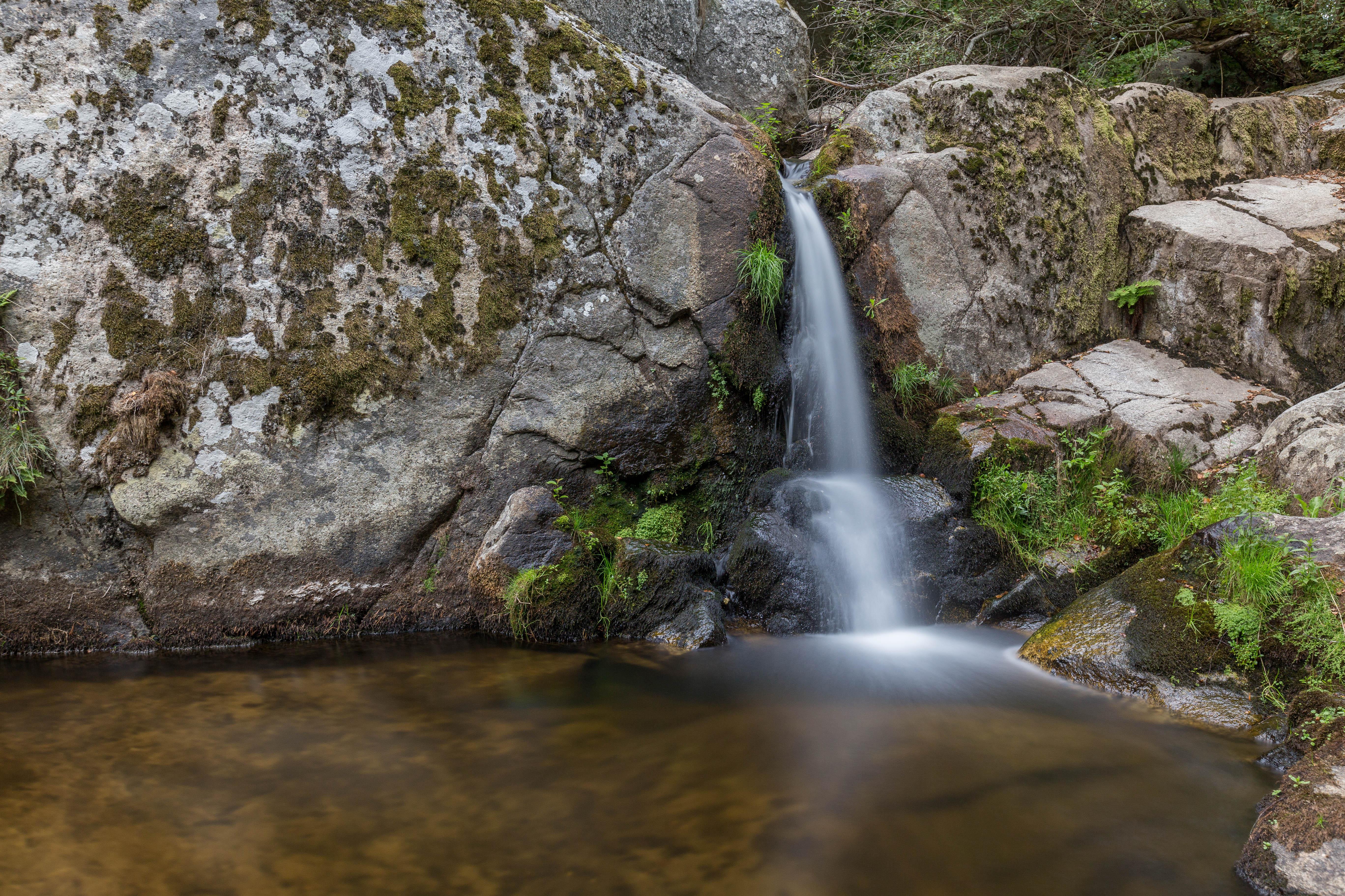
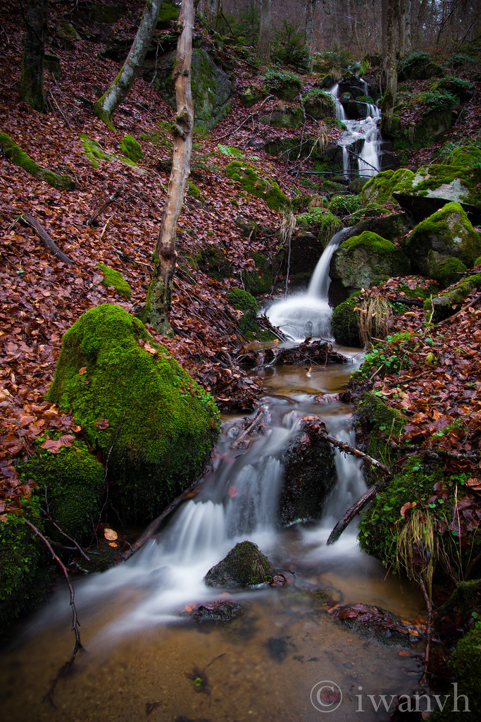
Small waterfall
Via Podiensis
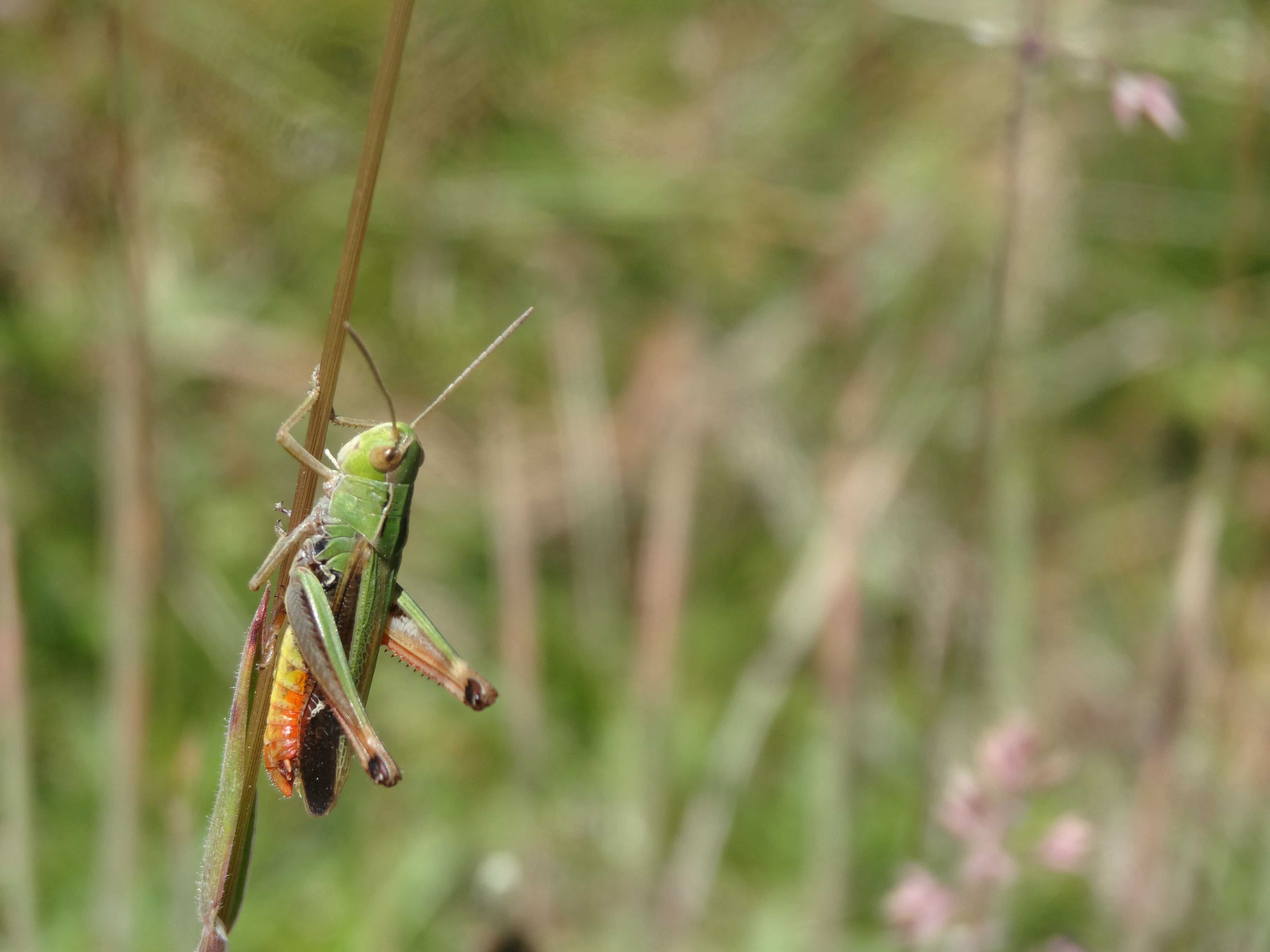
Sténobothre commun (Stenobothrus lineatus)
Topographic Map of Saint-Alban-sur-Limagnole, France
Find elevation by address:

Places in Saint-Alban-sur-Limagnole, France:
Places near Saint-Alban-sur-Limagnole, France:
Les Courses, Saint-Alban-sur-Limagnole, France
Le Bouchet, Aumont-Aubrac, France
Aumont-aubrac
Communauté De Communes La Terre De Peyre
Col Des Issartets
Le Buisson
5 Chemin Jean Fontugne, Marvejols, France
Grandrieu
Marvejols
1 Rue de la Cabale, Faverolles, France
Saint-préjet-d'allier
10 Place de la Mairie, Saint-Préjet-d'Allier, France
Aubespeyres, Grandrieu, France
8 Rue de la Liberté, Mende, France
Faverolles
Mende
Saint-bonnet-de-chirac
79 Balsieges Village, Balsièges, France
Balsièges
5248f
Recent Searches:
- Elevation of Spaceport America, Co Rd A, Truth or Consequences, NM, USA
- Elevation of Warwick, RI, USA
- Elevation of Fern Rd, Whitmore, CA, USA
- Elevation of 62 Abbey St, Marshfield, MA, USA
- Elevation of Fernwood, Bradenton, FL, USA
- Elevation of Felindre, Swansea SA5 7LU, UK
- Elevation of Leyte Industrial Development Estate, Isabel, Leyte, Philippines
- Elevation of W Granada St, Tampa, FL, USA
- Elevation of Pykes Down, Ivybridge PL21 0BY, UK
- Elevation of Jalan Senandin, Lutong, Miri, Sarawak, Malaysia