Elevation of Saiki, Oita Prefecture, Japan
Location: Japan > Oita Prefecture >
Longitude: 131.900057
Latitude: 32.959806
Elevation: 3m / 10feet
Barometric Pressure: 101KPa
Elevation Map:
Satellite Map:
Related Photos:
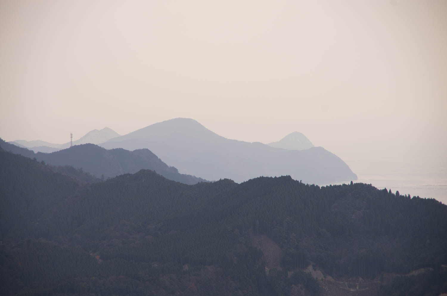
IMGP8584.jpg
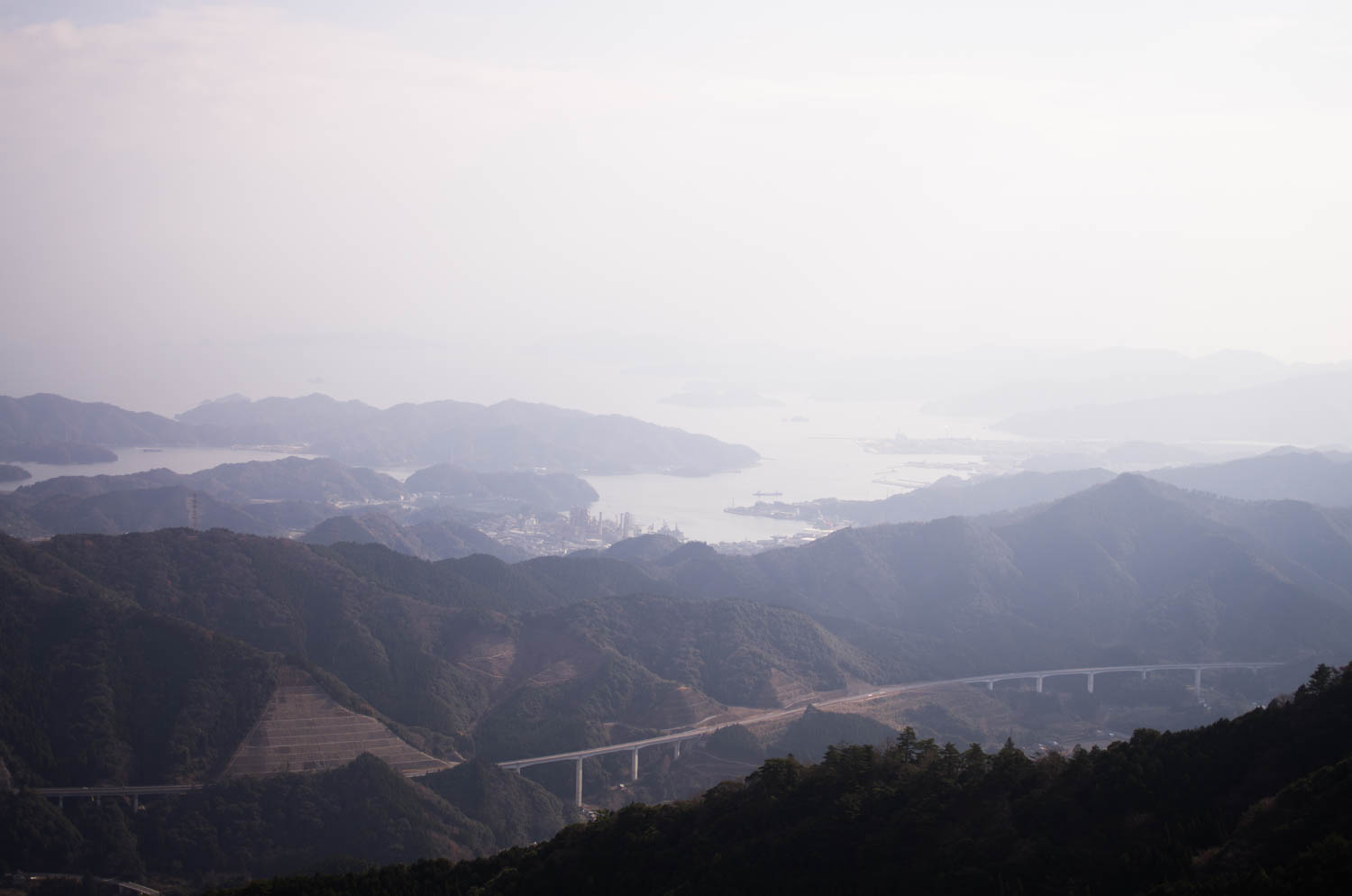
IMGP8634.jpg
DSC_8779.jpg
IMGP8633.jpg

2013 0128 15-19-46 GMT+9h
IMGP8580.jpg
IMGP8557.jpg
IMGP8572.jpg
JR 九州 特急にちりん
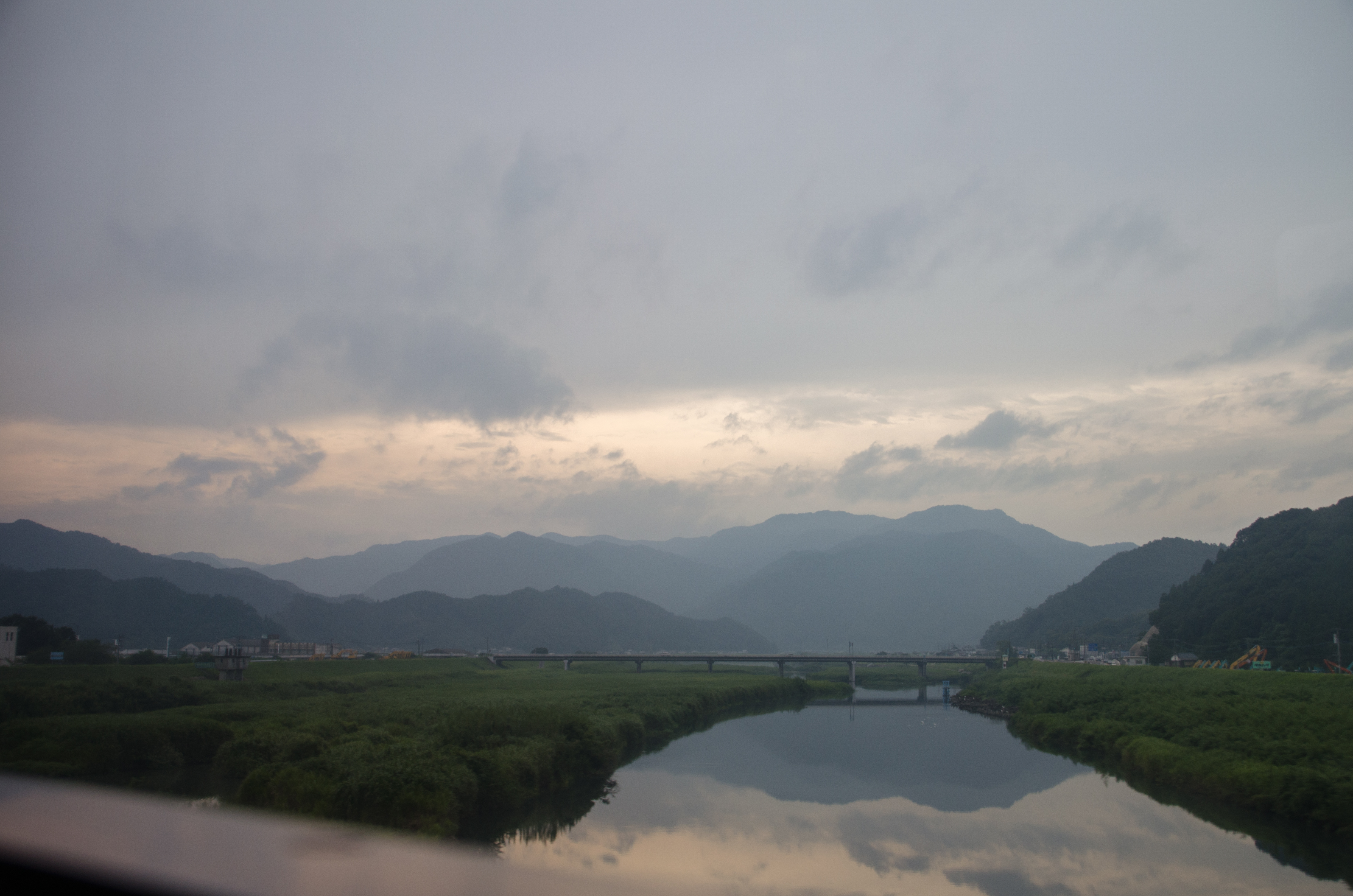
真玉海岸 夕日

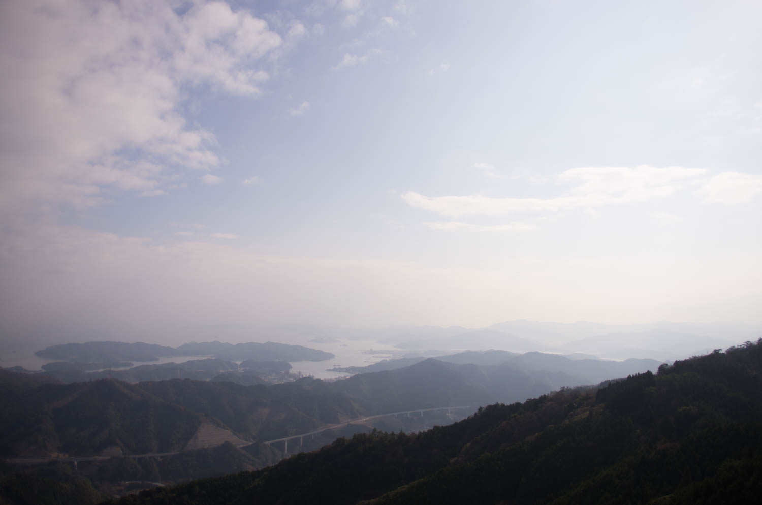
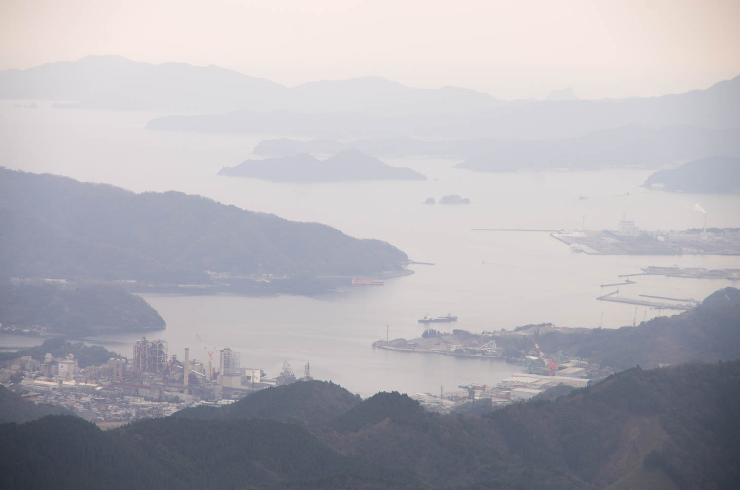
佐伯港
Topographic Map of Saiki, Oita Prefecture, Japan
Find elevation by address:

Places in Saiki, Oita Prefecture, Japan:
Kamae Ōaza Nonokawachiura, Saiki-shi, Ōita-ken -, Japan
Ume Ōaza Shiomizono, Saiki-shi, Ōita-ken -, Japan
Ume Ōaza Minamitabaru, Saiki-shi, Ōita-ken -, Japan
Ume Ōaza Kiurauchi, Saiki-shi, Ōita-ken -, Japan
Ume Ōaza Kawachi, Saiki-shi, Ōita-ken -, Japan
Ume Ōaza Onoichi, Saiki-shi, Ōita-ken -, Japan
Ume Ōaza Kiurakōzan, Saiki-shi, Ōita-ken -, Japan
Ume Ōaza Ōhira, Saiki-shi, Ōita-ken -, Japan
-5 Ume Ōaza Senzoku, Saiki-shi, Ōita-ken -, Japan
Places near Saiki, Oita Prefecture, Japan:
Tsukumi
4-34 Jizōmachi, Tsukumi-shi, Ōita-ken -, Japan
Kamae Ōaza Nonokawachiura, Saiki-shi, Ōita-ken -, Japan
-3 Hotojima, Tsukumi-shi, Ōita-ken -, Japan
Kaizoe, Usuki-shi, Ōita-ken -, Japan
Noda, Usuki-shi, Ōita-ken -, Japan
Usuki
Ume Ōaza Ōhira, Saiki-shi, Ōita-ken -, Japan
Ume Ōaza Kawachi, Saiki-shi, Ōita-ken -, Japan
Ume Ōaza Shiomizono, Saiki-shi, Ōita-ken -, Japan
-5 Ume Ōaza Senzoku, Saiki-shi, Ōita-ken -, Japan
Ume Ōaza Onoichi, Saiki-shi, Ōita-ken -, Japan
Saganoseki
Ume Ōaza Minamitabaru, Saiki-shi, Ōita-ken -, Japan
Bungoono
Ume Ōaza Kiurauchi, Saiki-shi, Ōita-ken -, Japan
Ume Ōaza Kiurakōzan, Saiki-shi, Ōita-ken -, Japan
Ōkaimachi, Nobeoka-shi, Miyazaki-ken -, Japan
Oita Prefecture
Oita Funai Park
Recent Searches:
- Elevation of Tenjo, Cundinamarca, Colombia
- Elevation of Côte-des-Neiges, Montreal, QC H4A 3J6, Canada
- Elevation of Bobcat Dr, Helena, MT, USA
- Elevation of Zu den Ihlowbergen, Althüttendorf, Germany
- Elevation of Badaber, Peshawar, Khyber Pakhtunkhwa, Pakistan
- Elevation of SE Heron Loop, Lincoln City, OR, USA
- Elevation of Slanický ostrov, 01 Námestovo, Slovakia
- Elevation of Spaceport America, Co Rd A, Truth or Consequences, NM, USA
- Elevation of Warwick, RI, USA
- Elevation of Fern Rd, Whitmore, CA, USA