Elevation of Saganoseki, Oita, Ōita Prefecture -, Japan
Location: Japan > Oita Prefecture > Oita >
Longitude: 131.875585
Latitude: 33.2490368
Elevation: 6m / 20feet
Barometric Pressure: 101KPa
Elevation Map:
Satellite Map:
Related Photos:

Off season
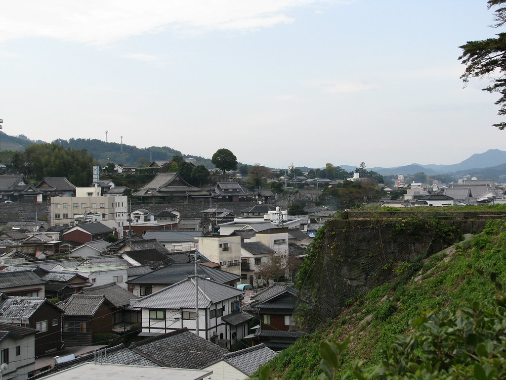
Usuki - View of the city
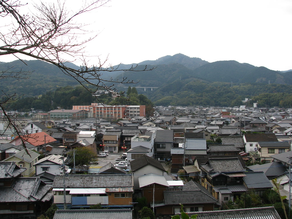
Usuki - View of the city
IMGP5987.jpg
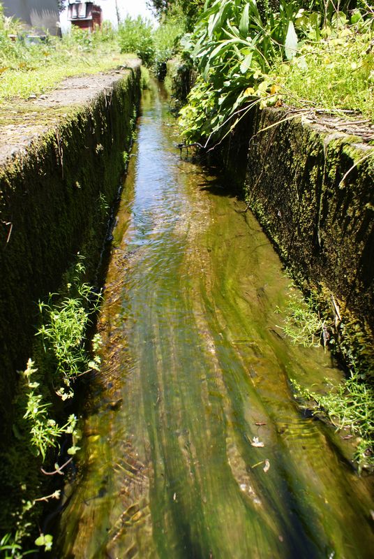
水路

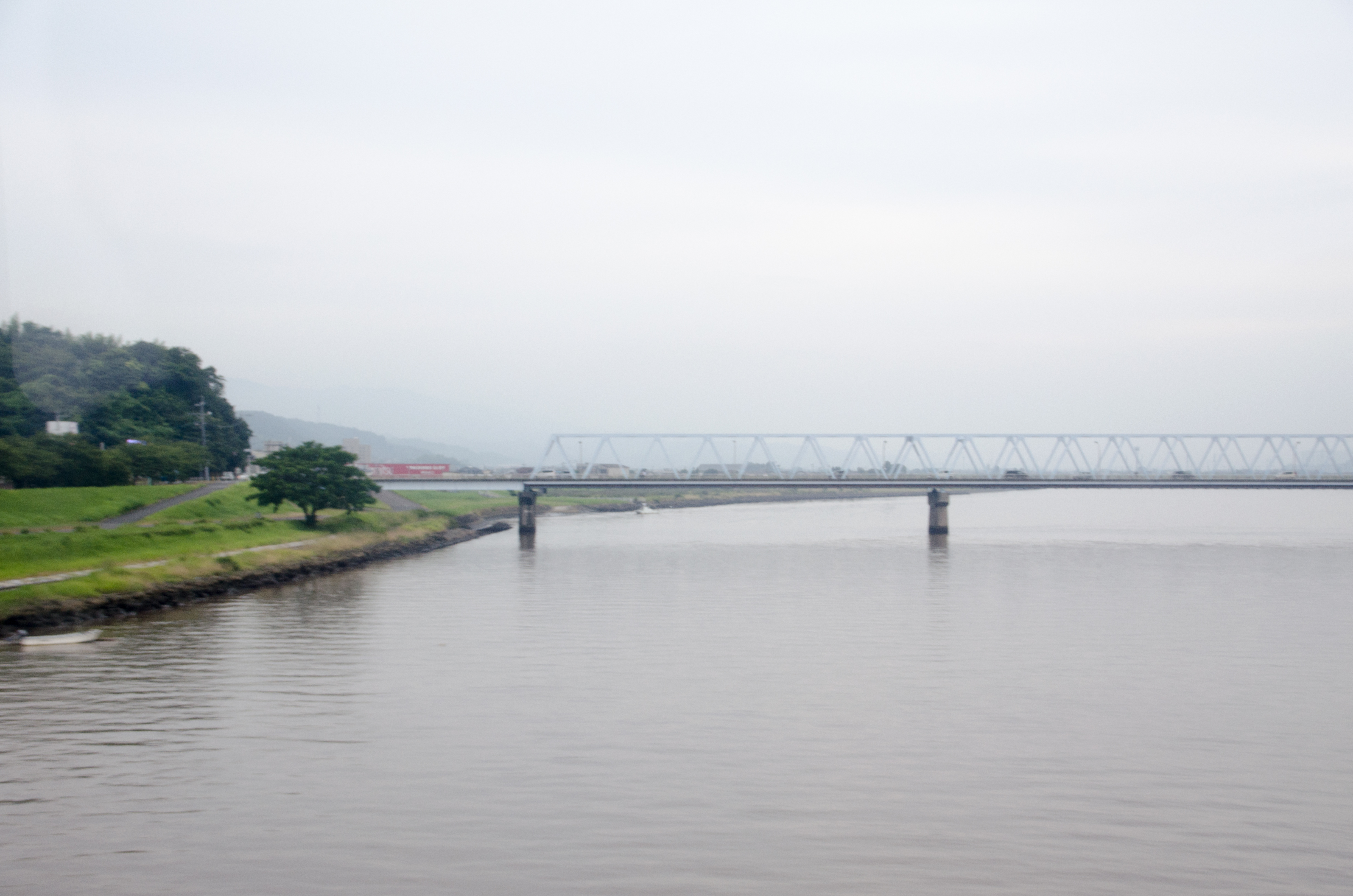
諏訪大橋
どっかり
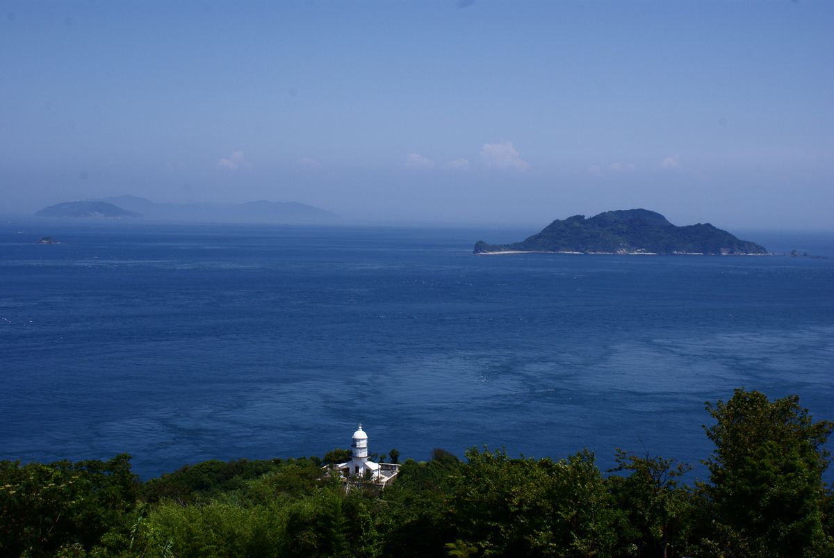
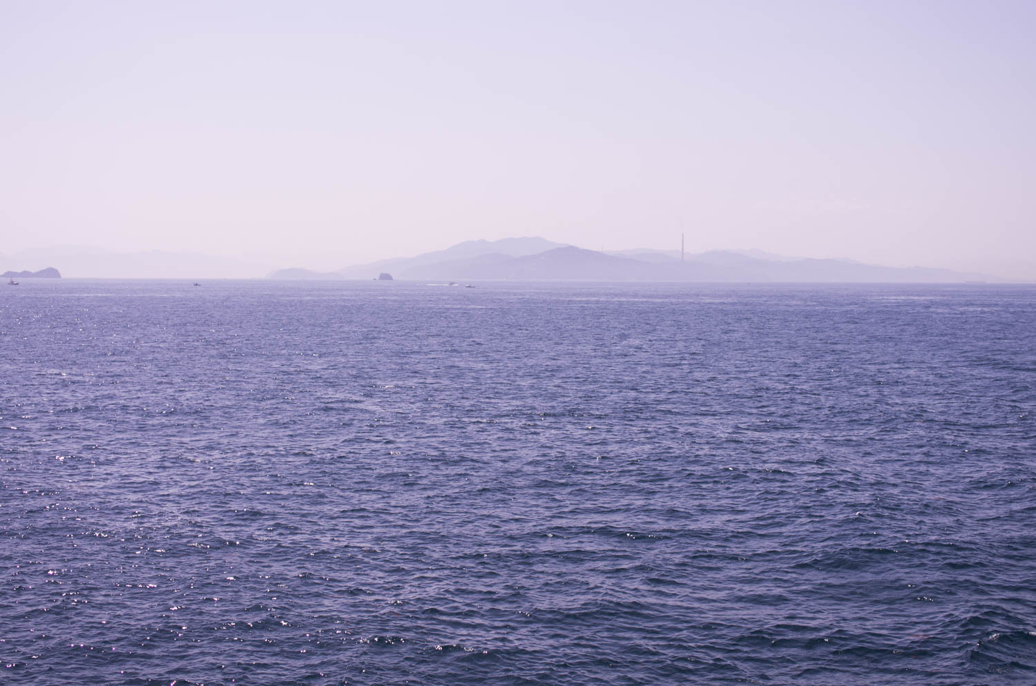
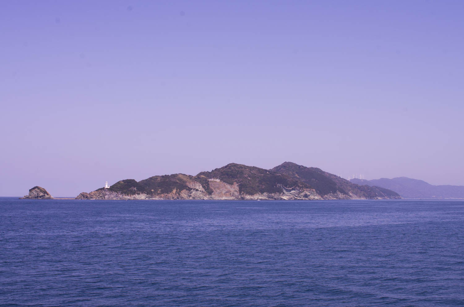
佐賀関半島先端 Saganoseki Cape
DSC_8772.jpg
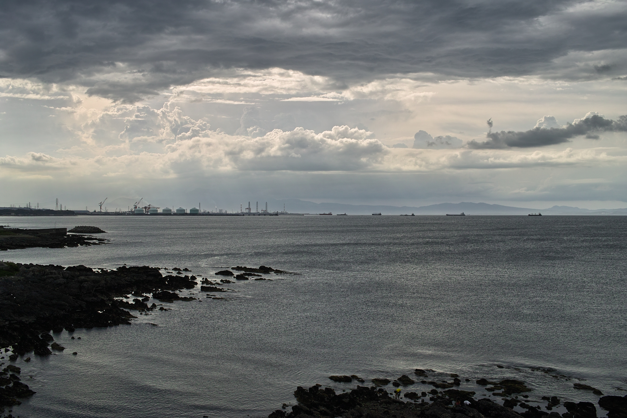
港4

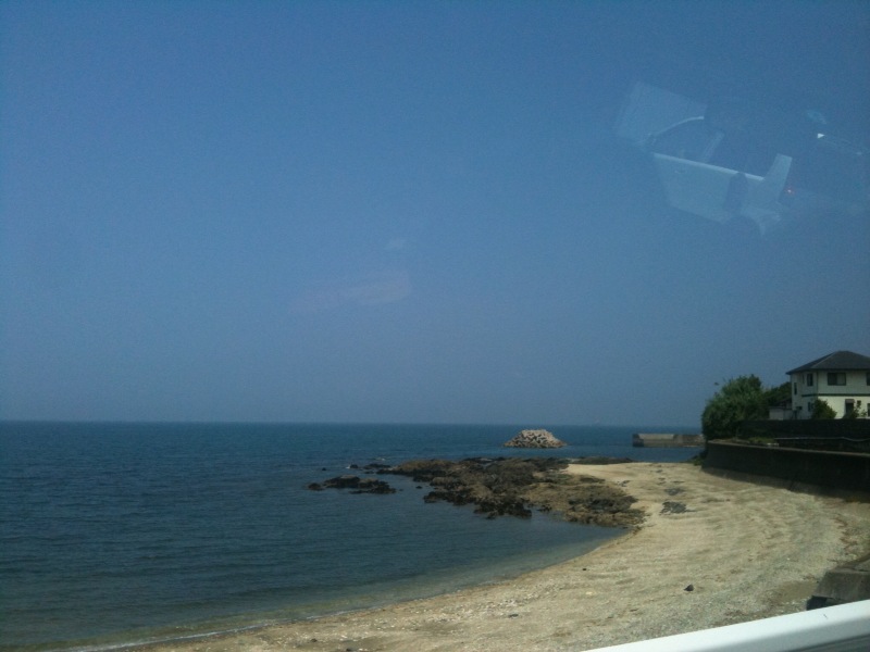
3 day weekend means… beach day! making the most of the warm weather while it's still here
IMGP5996.jpg
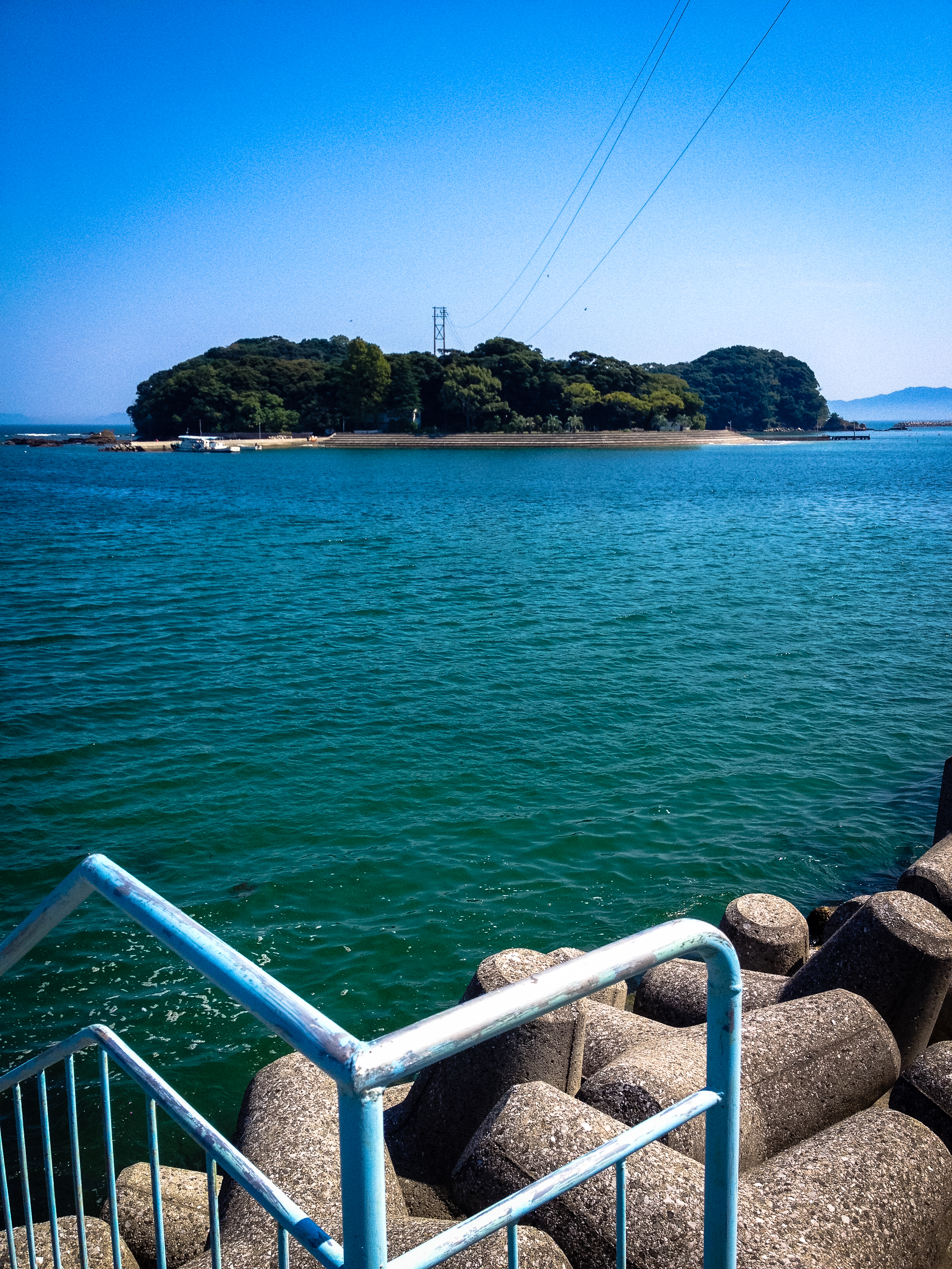
臼杵市黒島海水浴場
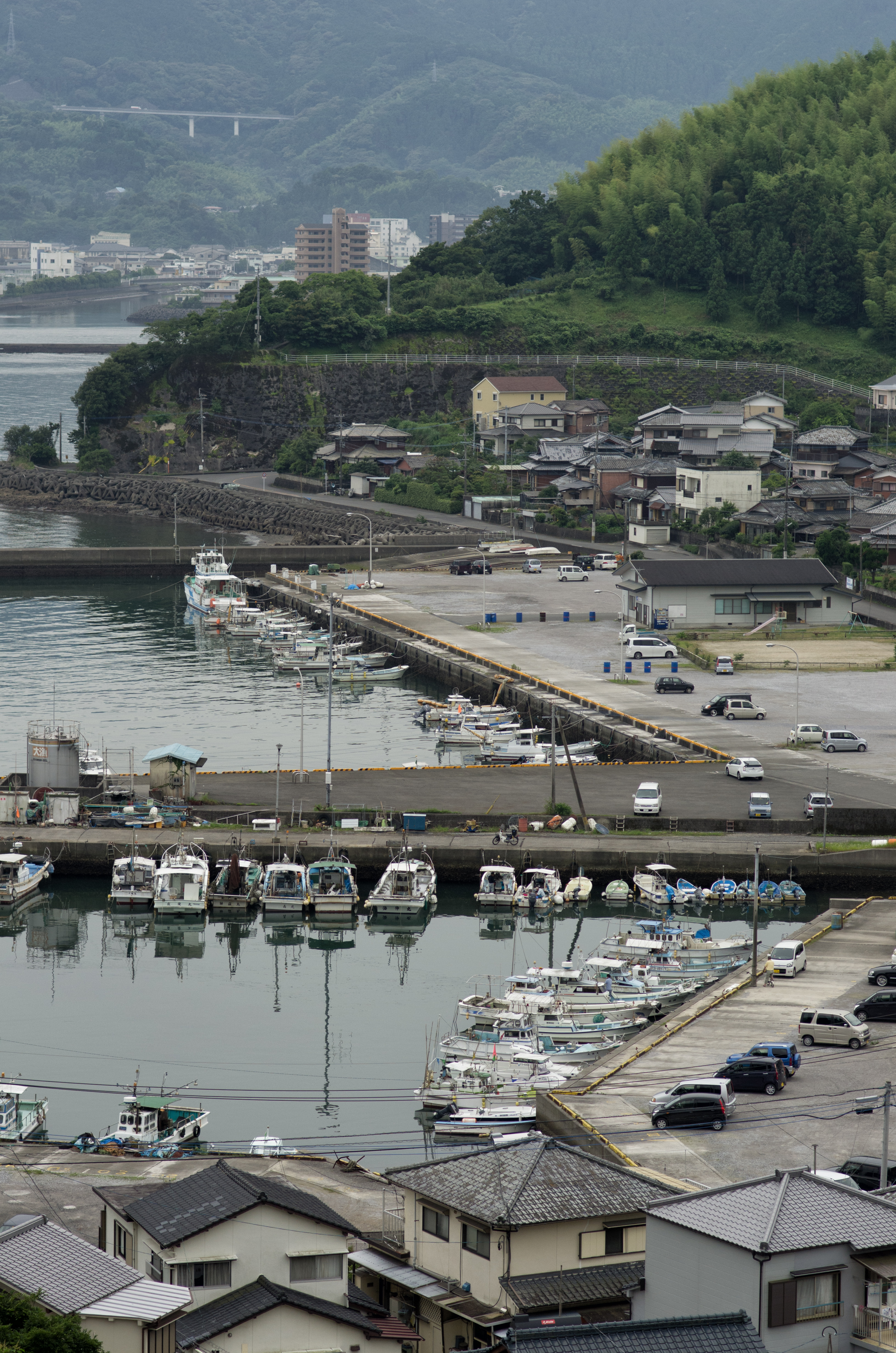
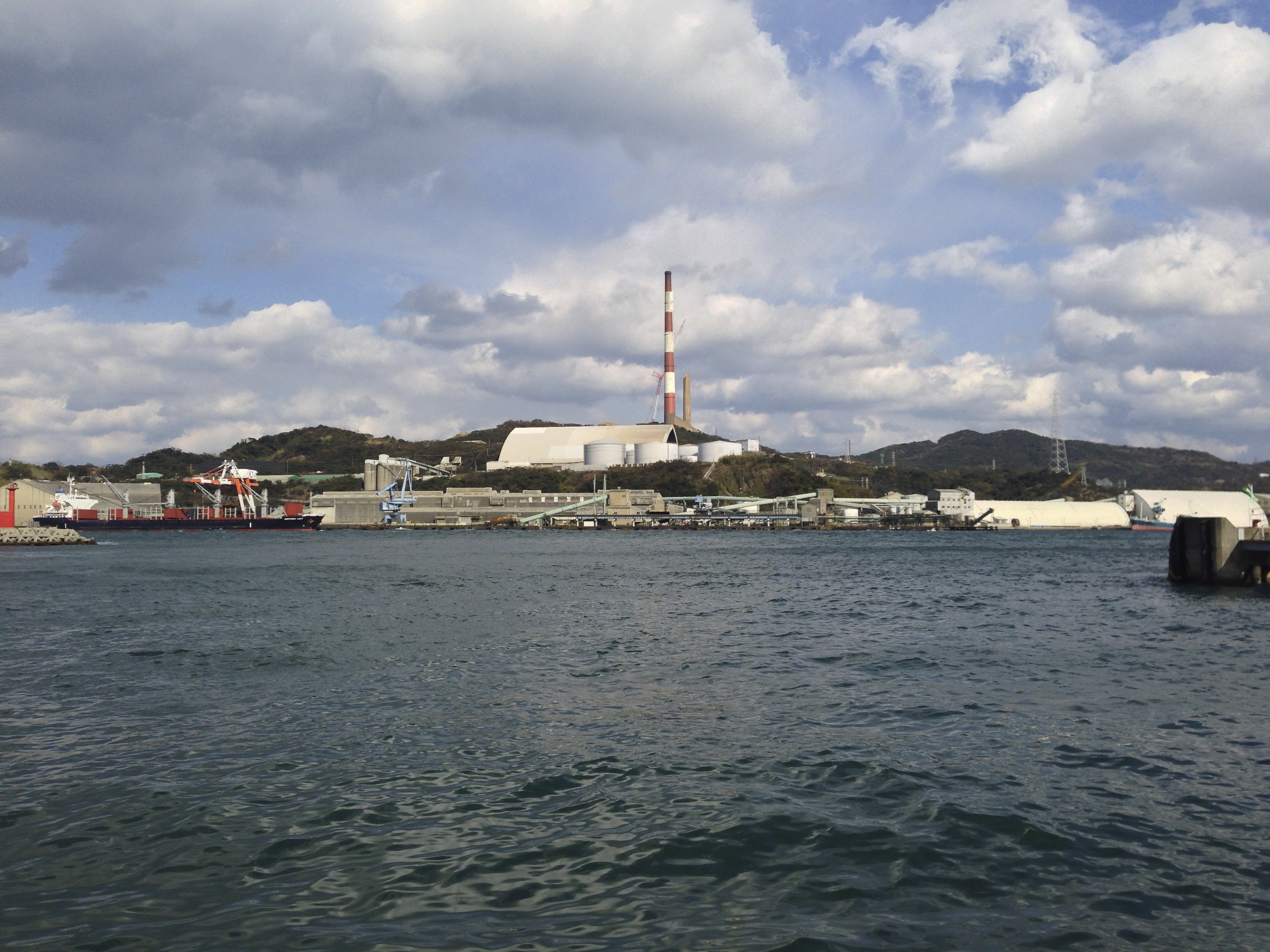
大浜港
さらば九州!
Topographic Map of Saganoseki, Oita, Ōita Prefecture -, Japan
Find elevation by address:

Places near Saganoseki, Oita, Ōita Prefecture -, Japan:
Usuki
Kaizoe, Usuki-shi, Ōita-ken -, Japan
Noda, Usuki-shi, Ōita-ken -, Japan
4-34 Jizōmachi, Tsukumi-shi, Ōita-ken -, Japan
Tsukumi
-3 Hotojima, Tsukumi-shi, Ōita-ken -, Japan
Oita Prefecture
Oita Funai Park
Art Plaza
Oita
3 Niagemachi
Saiki
Kitsuki Castle
Kitsuki
Kitsuki, Kitsuki-shi, Ōita-ken -, Japan
Kitsuki
Kawasaki, Hiji-machi, Hayami-gun, Ōita-ken -, Japan
Kunisaki
Kunisakimachi Tabuka, Kunisaki-shi, Ōita-ken -, Japan
Hayami District
Recent Searches:
- Elevation of Sadovaya Ulitsa, 20, Rezh, Sverdlovskaya oblast', Russia
- Elevation of Ulitsa Kalinina, 79, Rezh, Sverdlovskaya oblast', Russia
- Elevation of 72-31 Metropolitan Ave, Middle Village, NY, USA
- Elevation of 76 Metropolitan Ave, Brooklyn, NY, USA
- Elevation of Alisal Rd, Solvang, CA, USA
- Elevation of Vista Blvd, Sparks, NV, USA
- Elevation of 15th Ave SE, St. Petersburg, FL, USA
- Elevation of Beall Road, Beall Rd, Florida, USA
- Elevation of Leguwa, Nepal
- Elevation of County Rd, Enterprise, AL, USA