Elevation of Ume Ōaza Kiurauchi, Saiki-shi, Ōita-ken -, Japan
Location: Japan > Oita Prefecture > Saiki >
Longitude: 131.564872
Latitude: 32.8347849
Elevation: 218m / 715feet
Barometric Pressure: 99KPa
Elevation Map:
Satellite Map:
Related Photos:
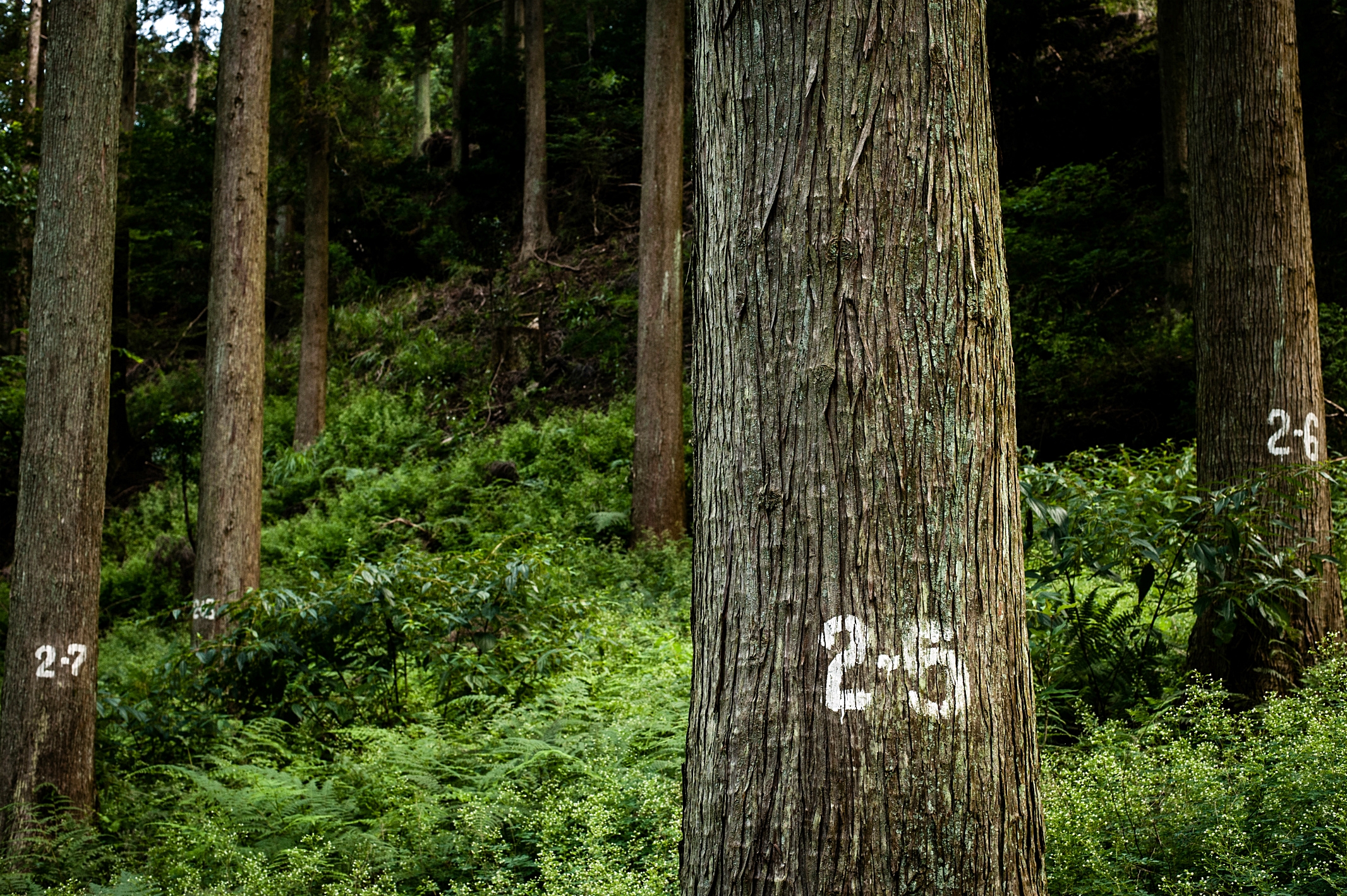
Management of Production Forest Area (Japanese Cedar) 豊後大野市三重町、三国峠
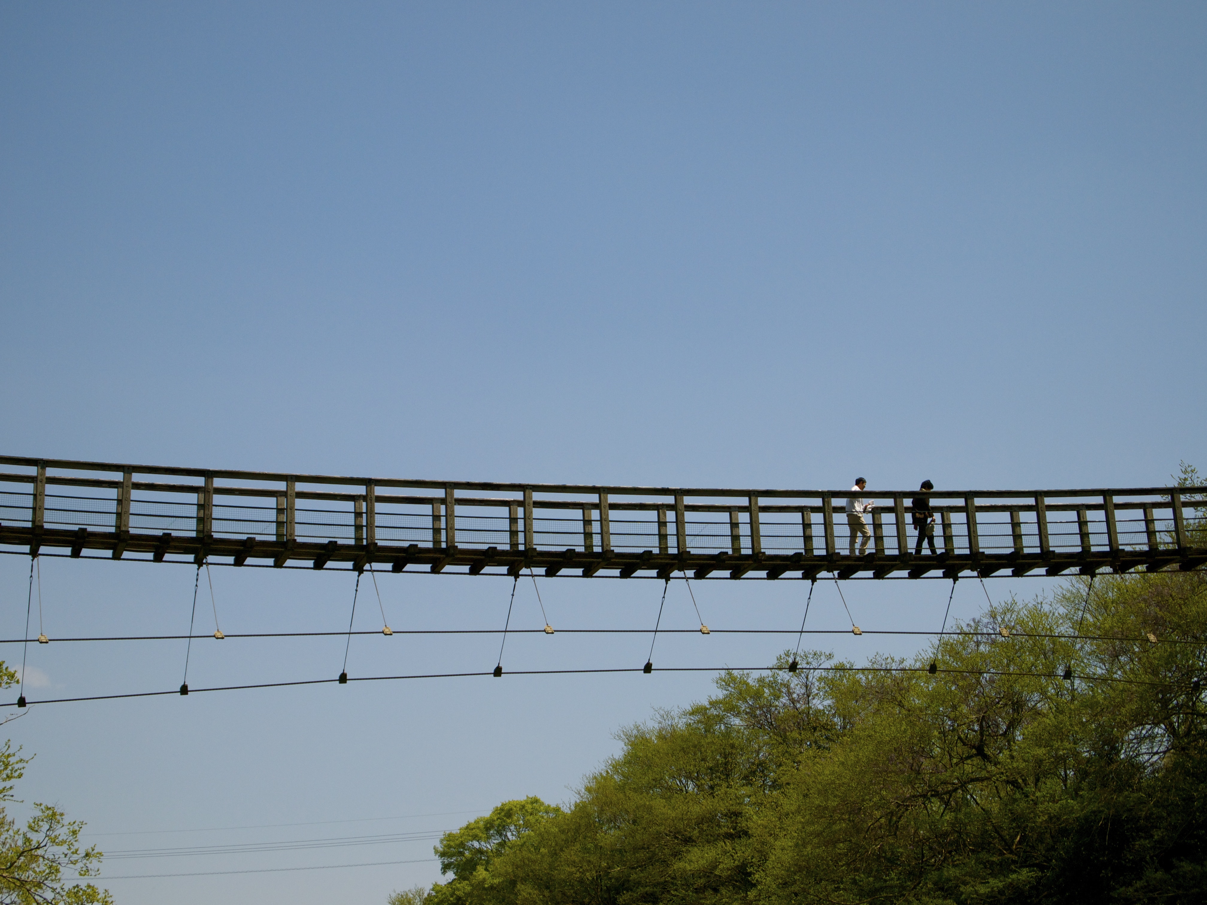
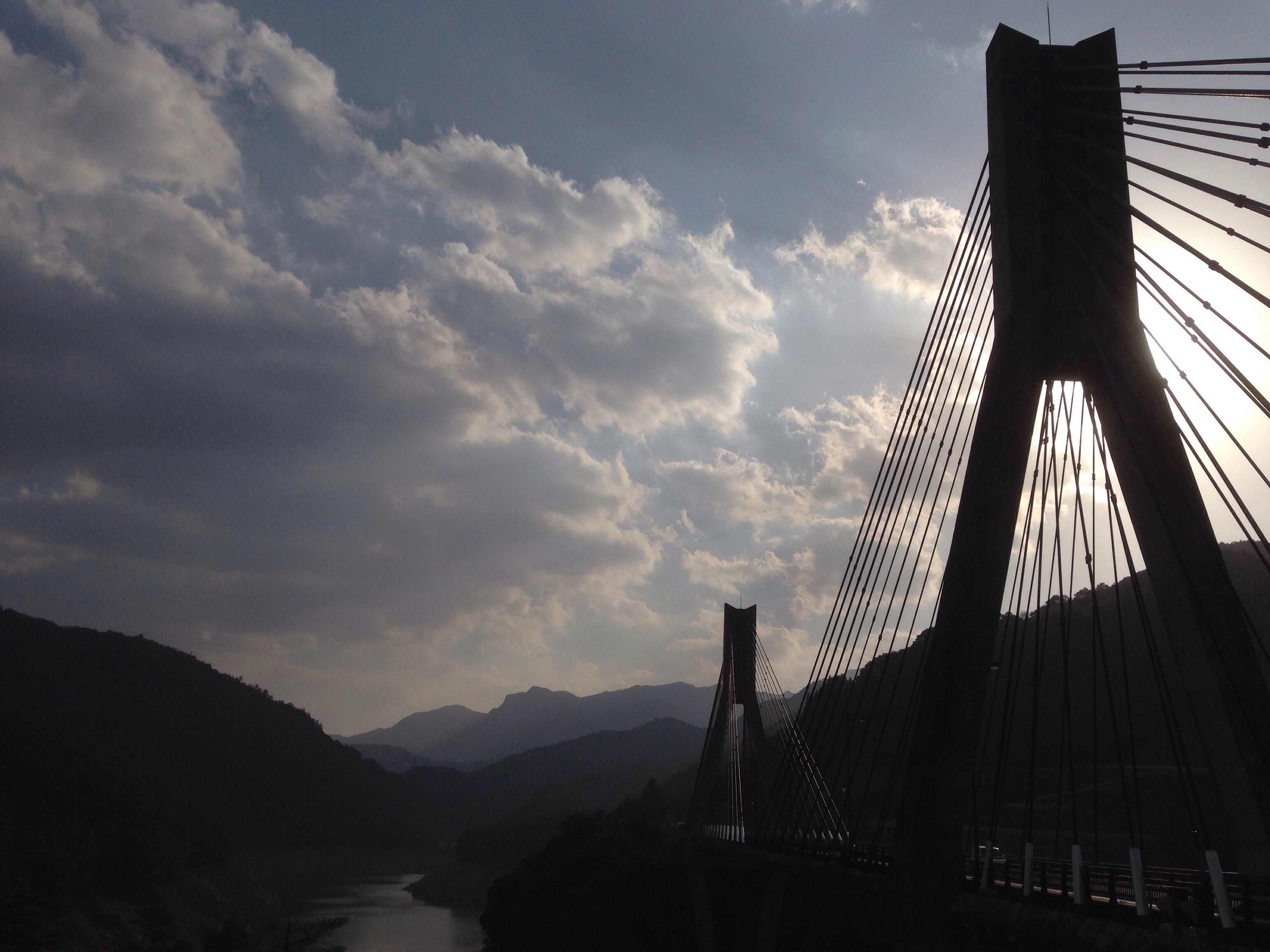
suspension bridge over the river

緑 Green

Leaving Aso-Shi on the bus, and looking back to this magnificent sight. The city of Aso lies in this caldera formed by multiple eruptions over thousands of years. It's amazing to know how people live in this area where active volcanoes still go off. To
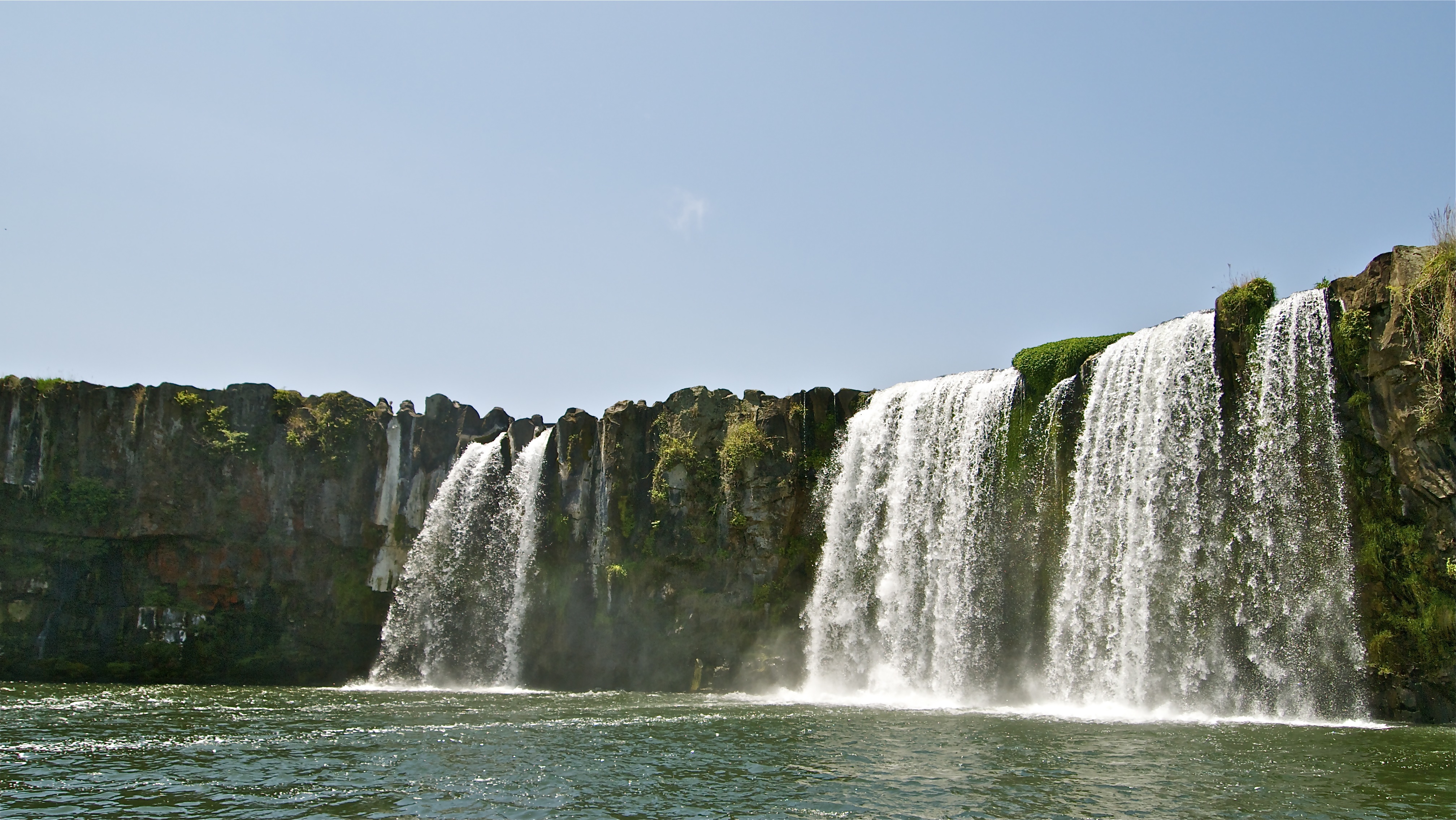
HARAJIRI falls
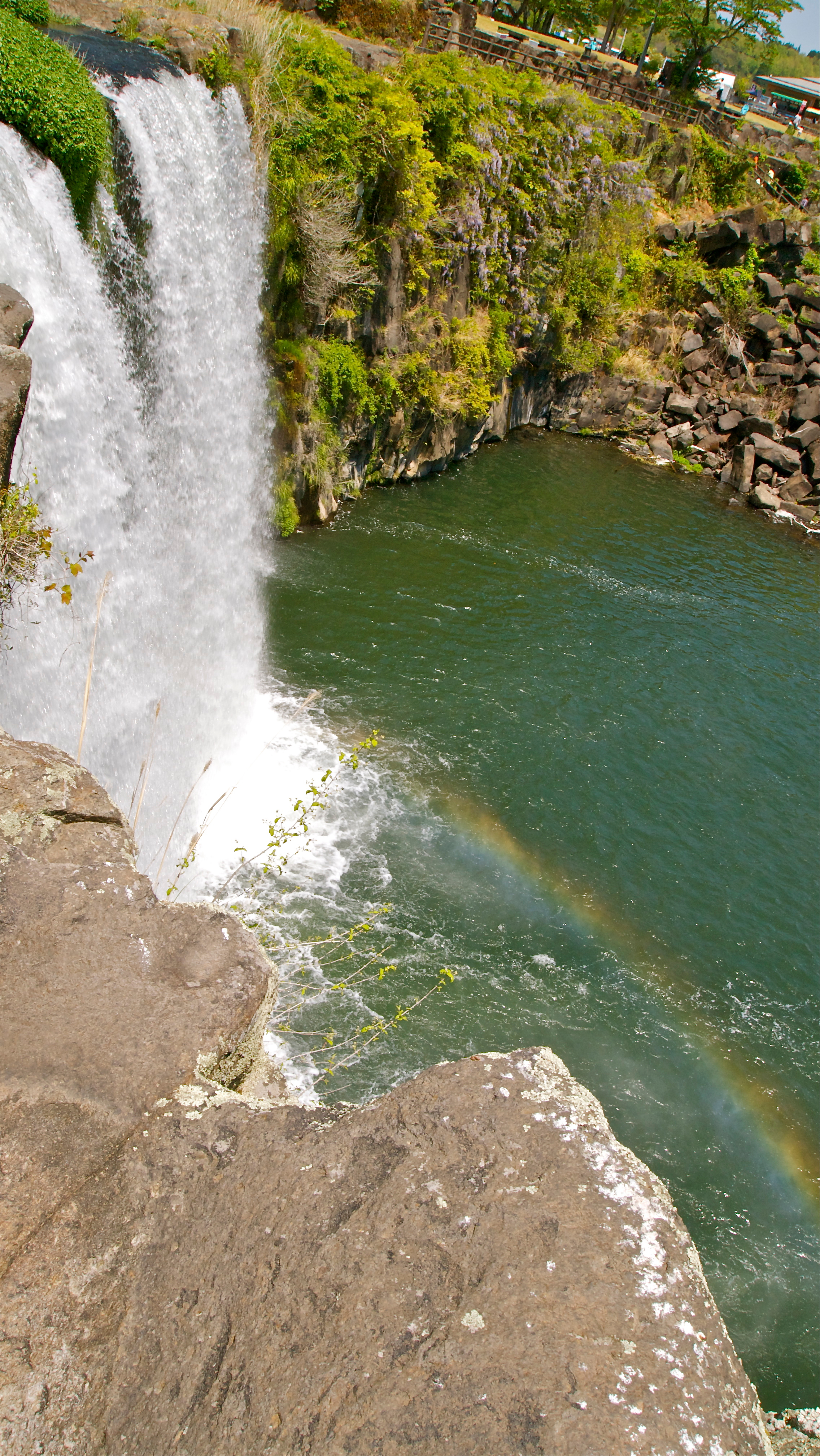
rainbow waterfall
祝子川渓谷
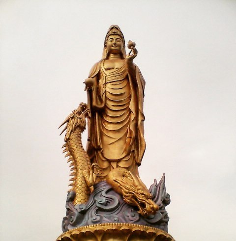
稲積昇龍観音菩薩立像 2006年に行った時の写真 クレイジージャーニーでも水中探検家が行ってたね #観音像 #稲積水中鍾乳洞 #稲積昇龍観音菩薩 #大分県 #水中鍾乳洞 #クレイジージャーニー #statue #cave #watercave #ooita #instaphoto #instagood #instapic #1day1photo #一日一枚
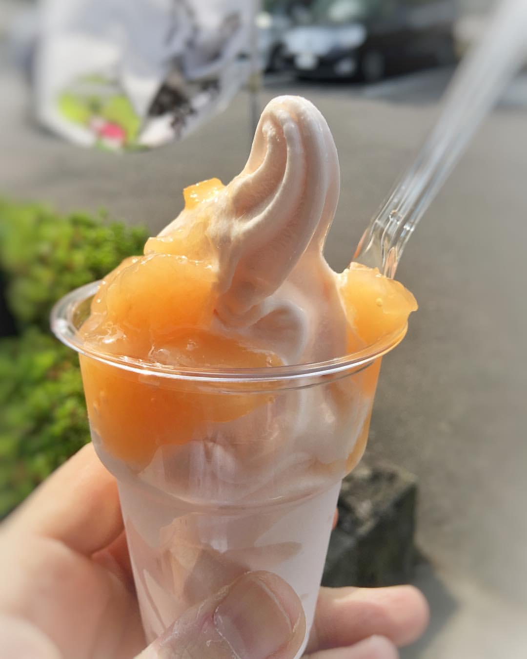
お寺の被災状況を見舞ったついでに 清川までにももソフトを食べに行ってきた。スタバのアレよりこっちのほうが良いなあ( ´ ▽ ` )ノ
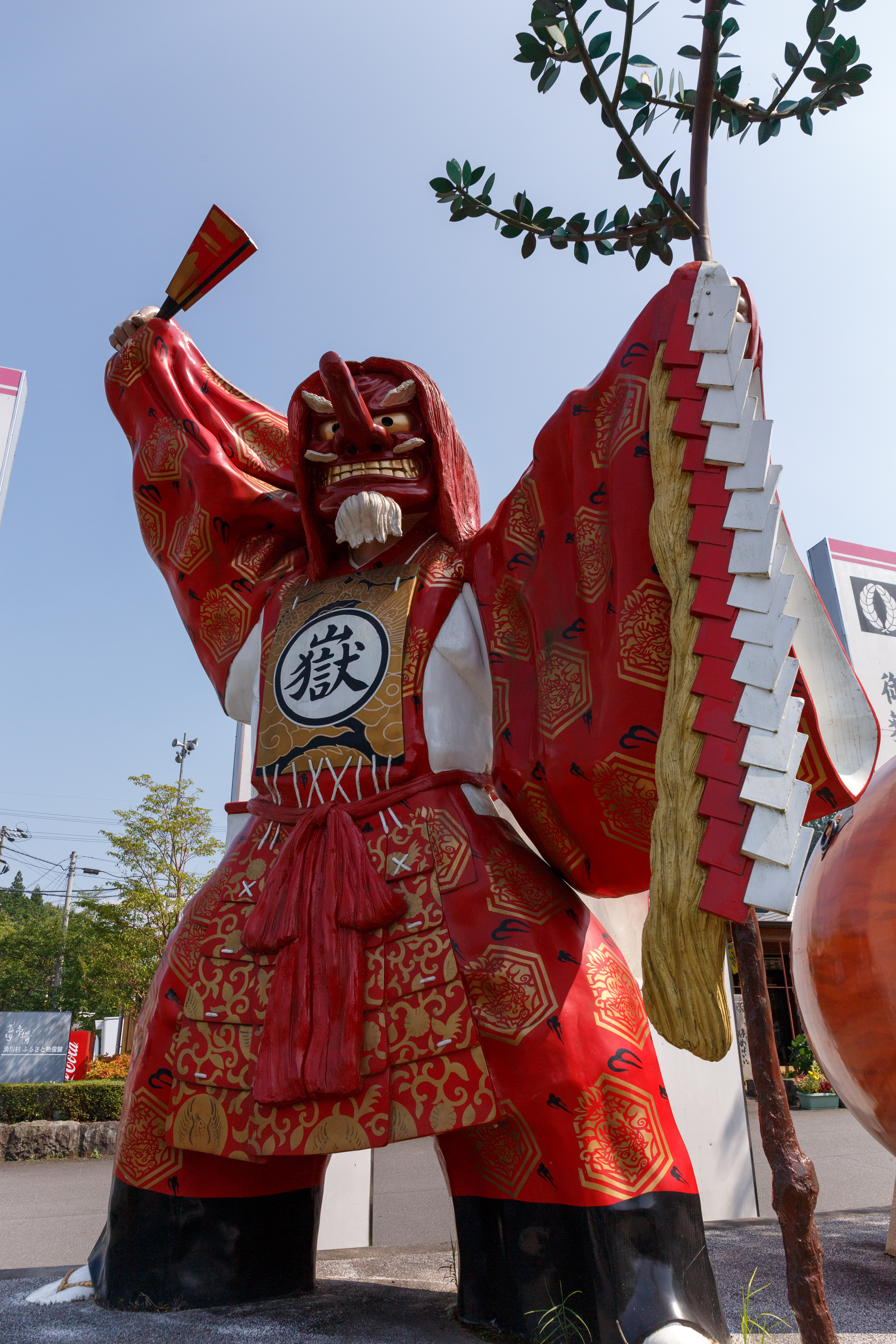
神楽 Kagura dance
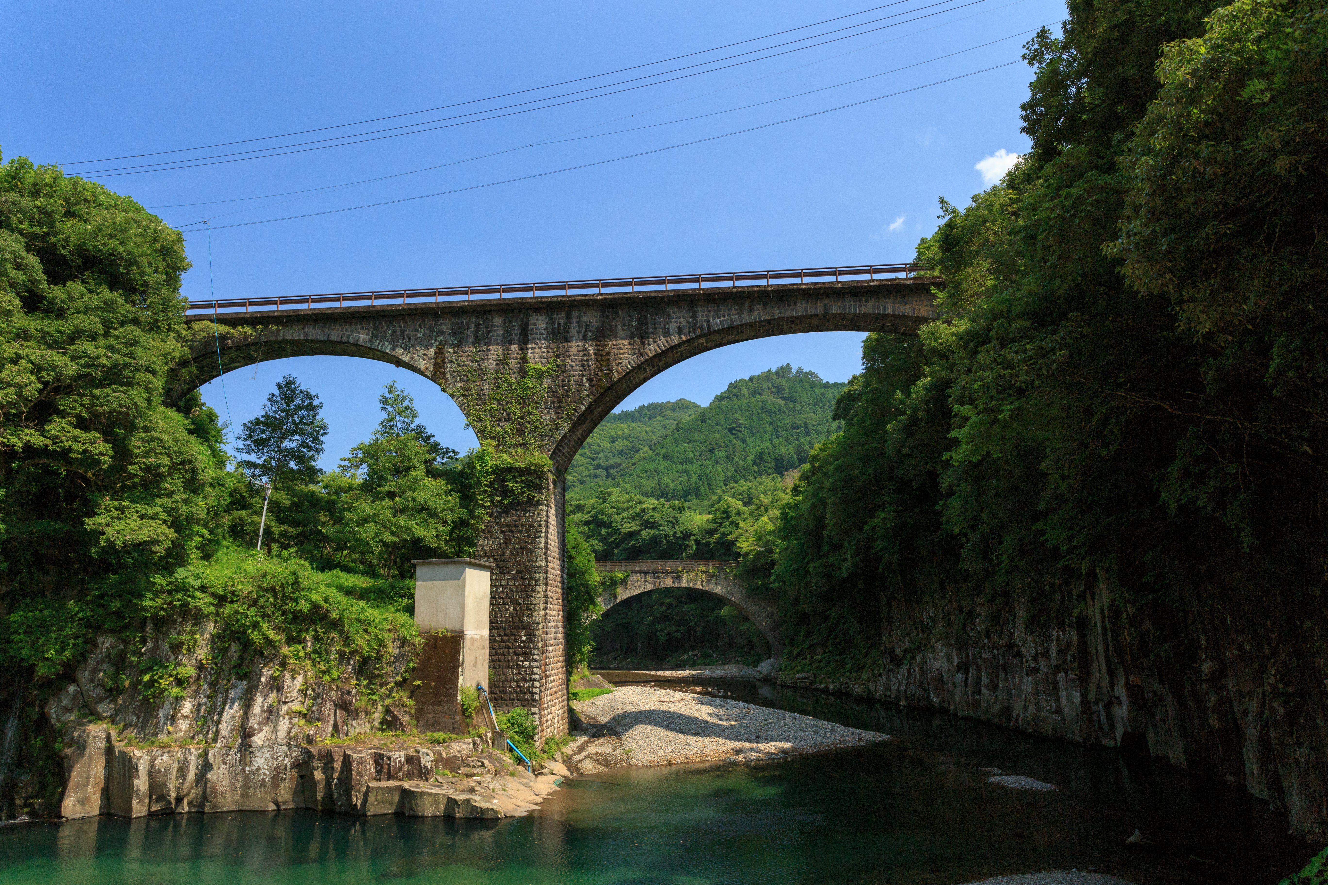
出會橋.轟橋 Deai Bridge & Todoro Bridge

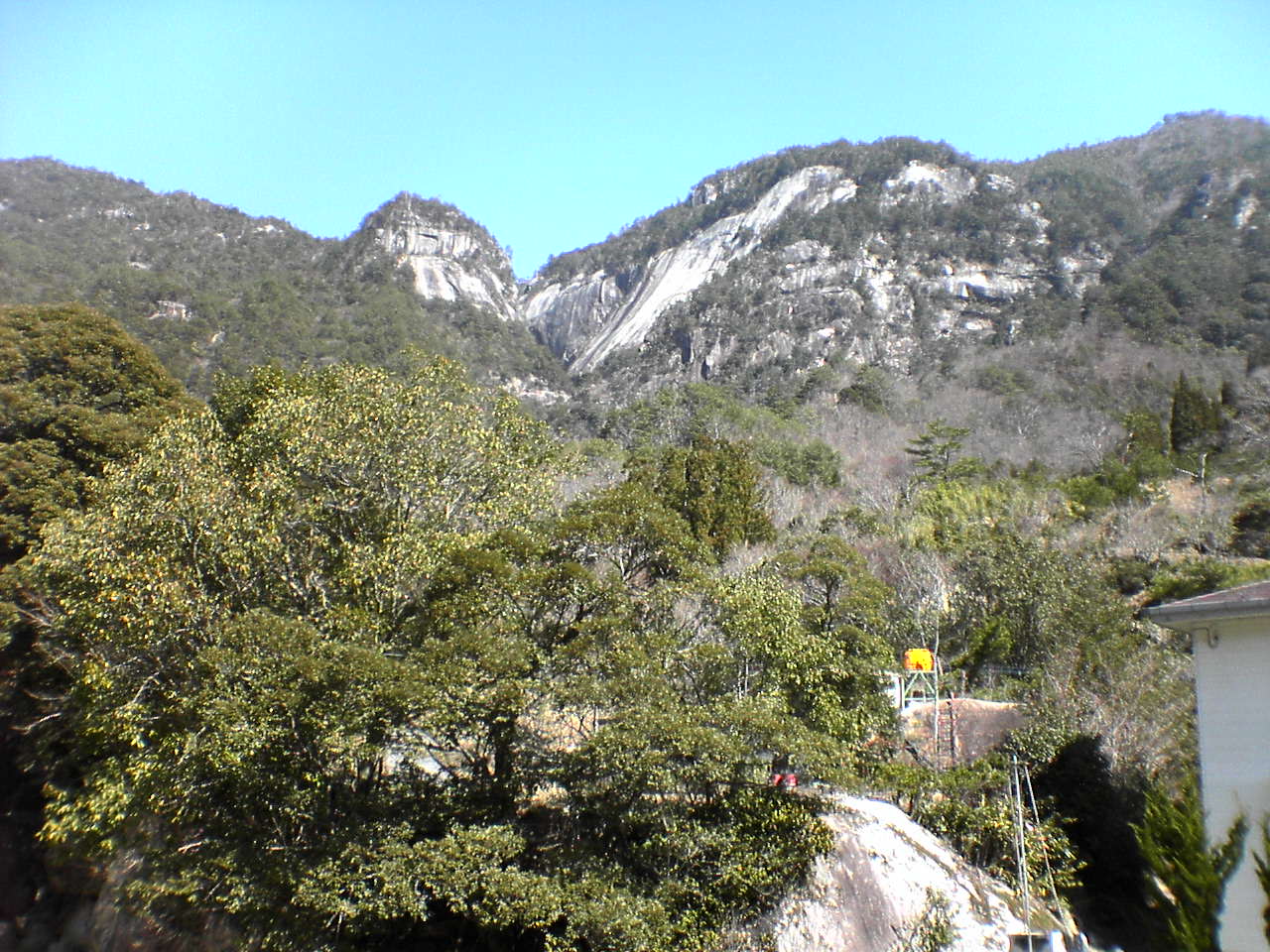
崖 Cliff
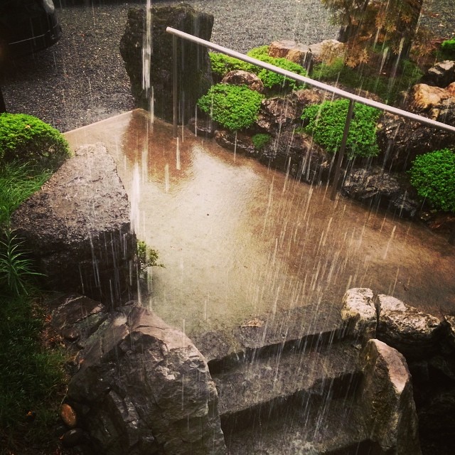
どしゃ降り
道の駅宇目
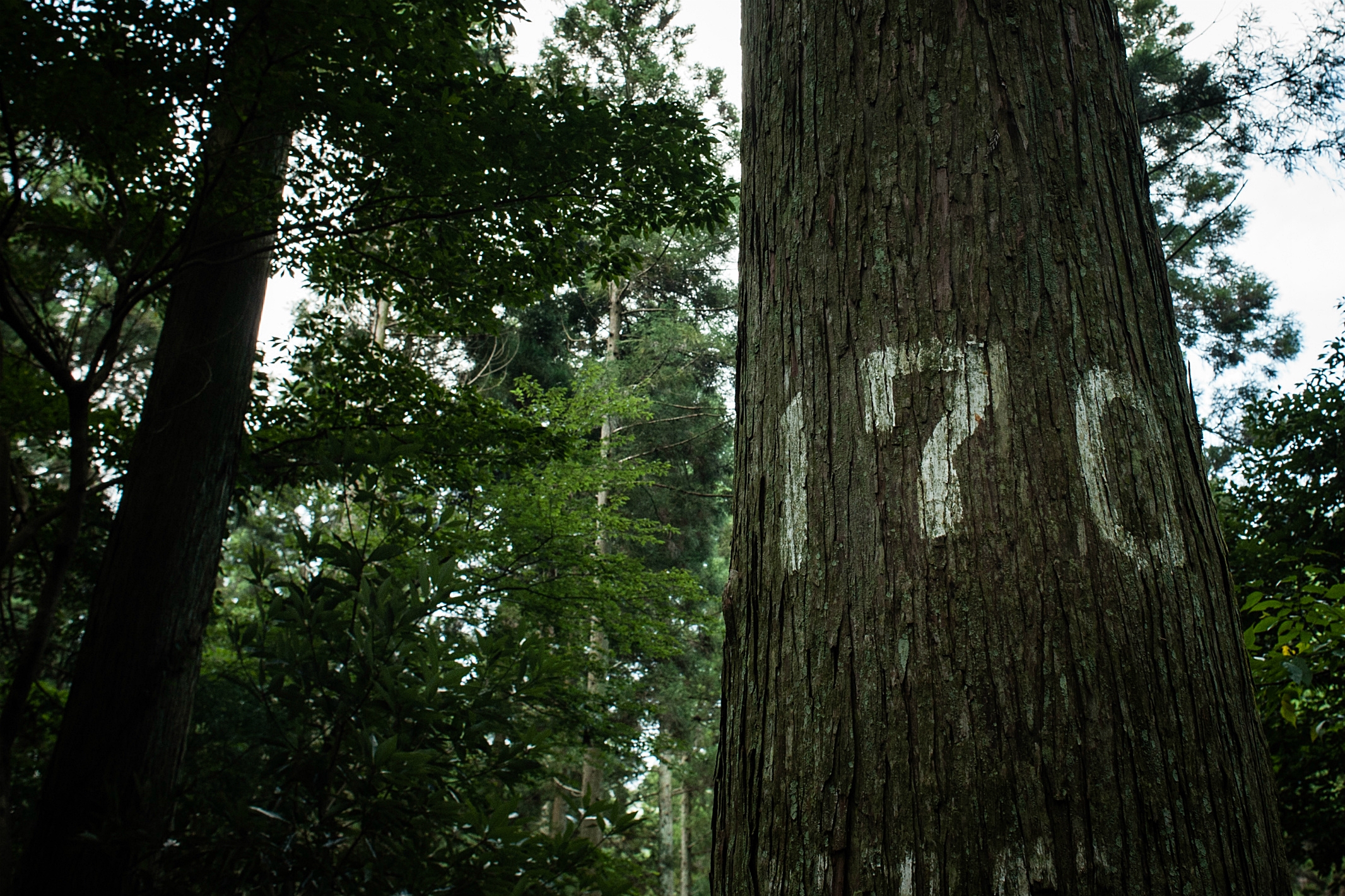
Management of Production Forest Area (Japanese Cedar) 豊後大野市三重町、三国峠
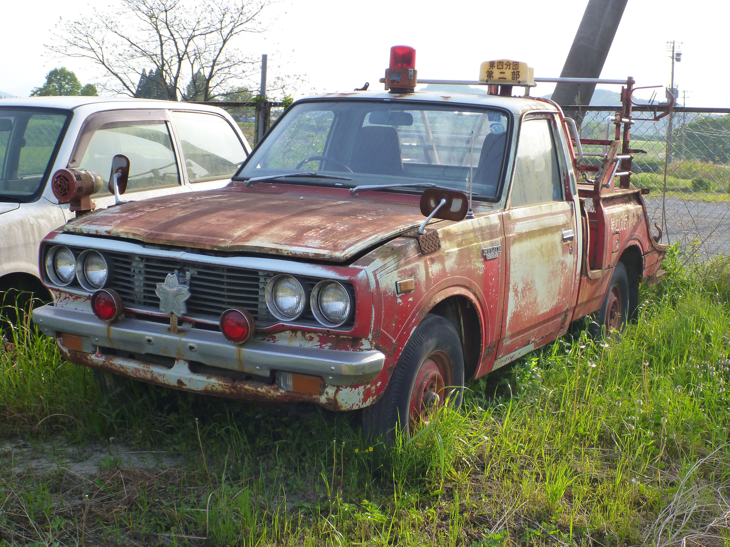
TOYOTA HILUX fire-engine
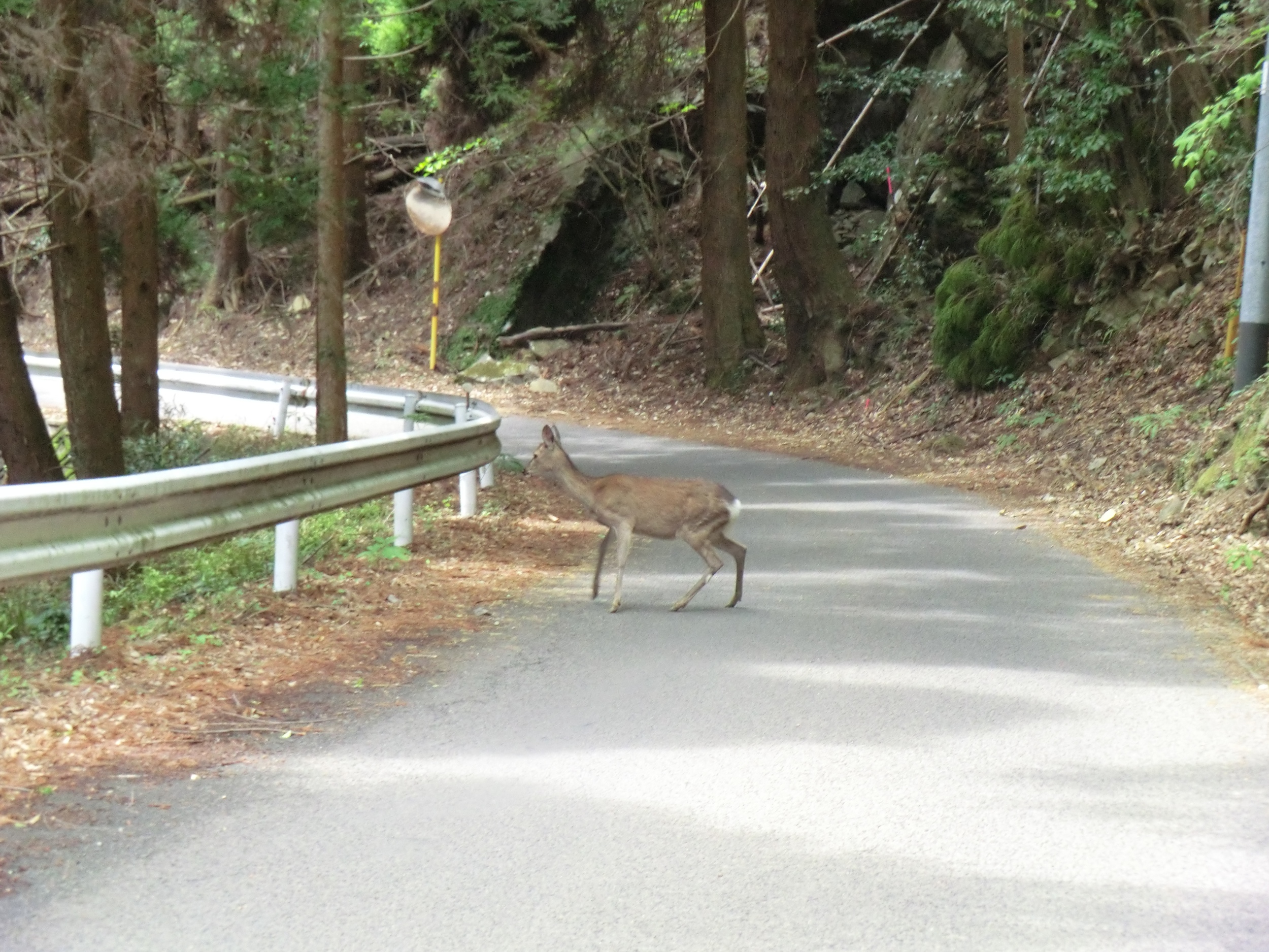
宮崎 県道で鹿に遭遇
Topographic Map of Ume Ōaza Kiurauchi, Saiki-shi, Ōita-ken -, Japan
Find elevation by address:

Places near Ume Ōaza Kiurauchi, Saiki-shi, Ōita-ken -, Japan:
Ume Ōaza Kiurakōzan, Saiki-shi, Ōita-ken -, Japan
Ume Ōaza Minamitabaru, Saiki-shi, Ōita-ken -, Japan
Ume Ōaza Onoichi, Saiki-shi, Ōita-ken -, Japan
-5 Ume Ōaza Senzoku, Saiki-shi, Ōita-ken -, Japan
Ume Ōaza Shiomizono, Saiki-shi, Ōita-ken -, Japan
Ume Ōaza Kawachi, Saiki-shi, Ōita-ken -, Japan
Bungoono
Ume Ōaza Ōhira, Saiki-shi, Ōita-ken -, Japan
Nanaori, Hinokage-chō, Nishiusuki-gun, Miyazaki-ken -, Japan
Ōkaimachi, Nobeoka-shi, Miyazaki-ken -, Japan
-2 Taketa, Taketa-shi, Ōita-ken -, Japan
Kobaru
Yoshida, Taketa-shi, Ōita-ken -, Japan
Taketa
Mount Sobo
2465 Kōbaru
Hidagawa, Taketa-shi, Ōita-ken -, Japan
Hinokage
Mitai, Takachiho-chō, Nishiusuki-gun, Miyazaki-ken -, Japan
Nobeoka
Recent Searches:
- Elevation of Elwyn Dr, Roanoke Rapids, NC, USA
- Elevation of Congressional Dr, Stevensville, MD, USA
- Elevation of Bellview Rd, McLean, VA, USA
- Elevation of Stage Island Rd, Chatham, MA, USA
- Elevation of Shibuya Scramble Crossing, 21 Udagawacho, Shibuya City, Tokyo -, Japan
- Elevation of Jadagoniai, Kaunas District Municipality, Lithuania
- Elevation of Pagonija rock, Kranto 7-oji g. 8"N, Kaunas, Lithuania
- Elevation of Co Rd 87, Jamestown, CO, USA
- Elevation of Tenjo, Cundinamarca, Colombia
- Elevation of Côte-des-Neiges, Montreal, QC H4A 3J6, Canada