Elevation of Sagar, Karnataka, India
Location: India > Karnataka > Shimoga >
Longitude: 75.0403
Latitude: 14.1670402
Elevation: 605m / 1985feet
Barometric Pressure: 94KPa
Elevation Map:
Satellite Map:
Related Photos:

An Ancient temple's front view.#Lumia1520.#After rain.
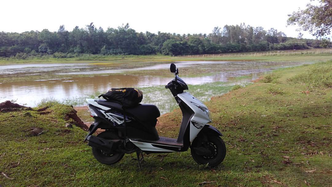
Alter a long ride of 579km taking a break, to cool her down. #baby #sagar #ganapathi #ganapathilake #lake #bikes #india #indianmotorcycle #ride #roadtrip #travel #trip #rideordie #fun #beautiful #view #break #cool
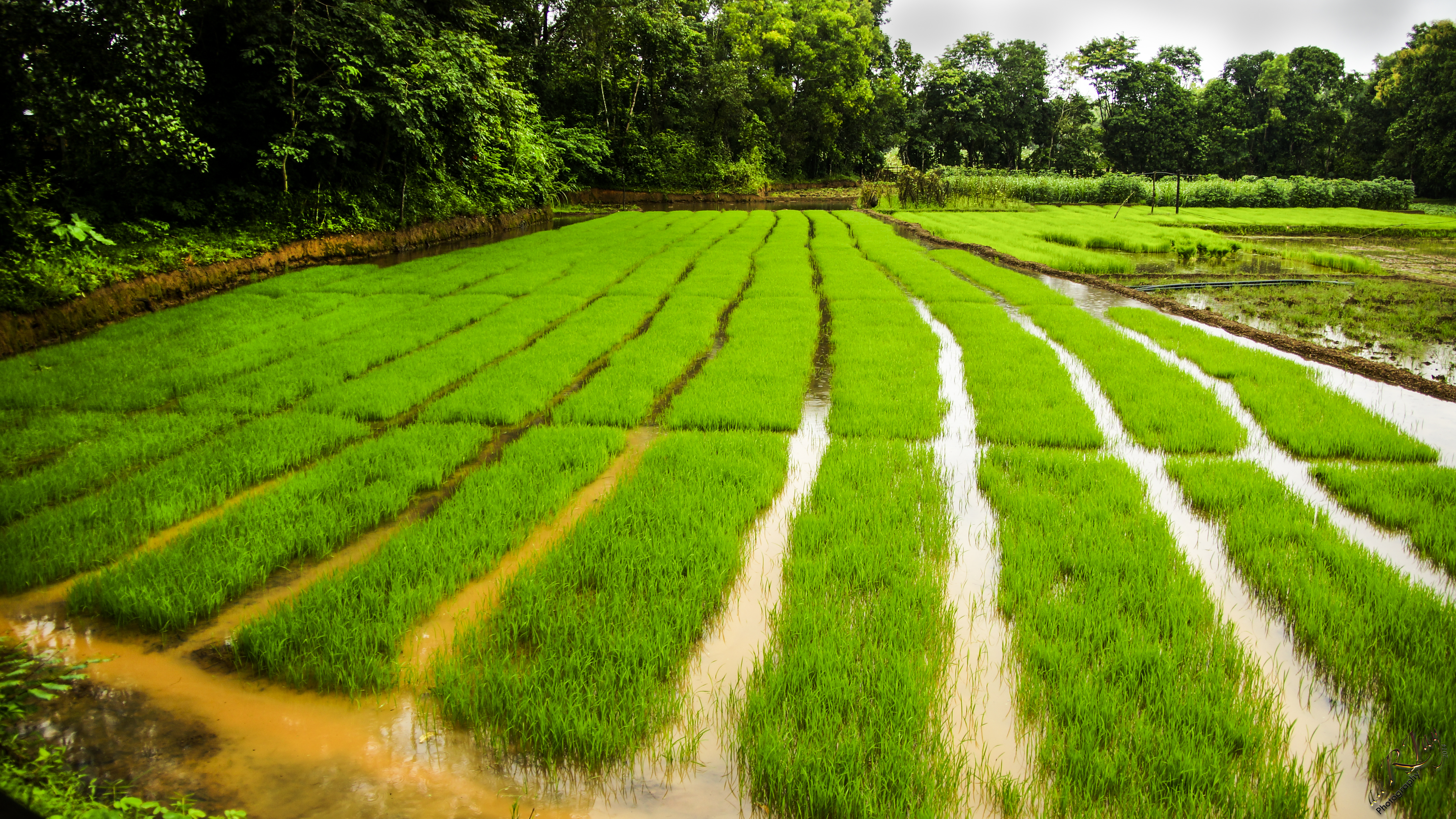
Growing Rice
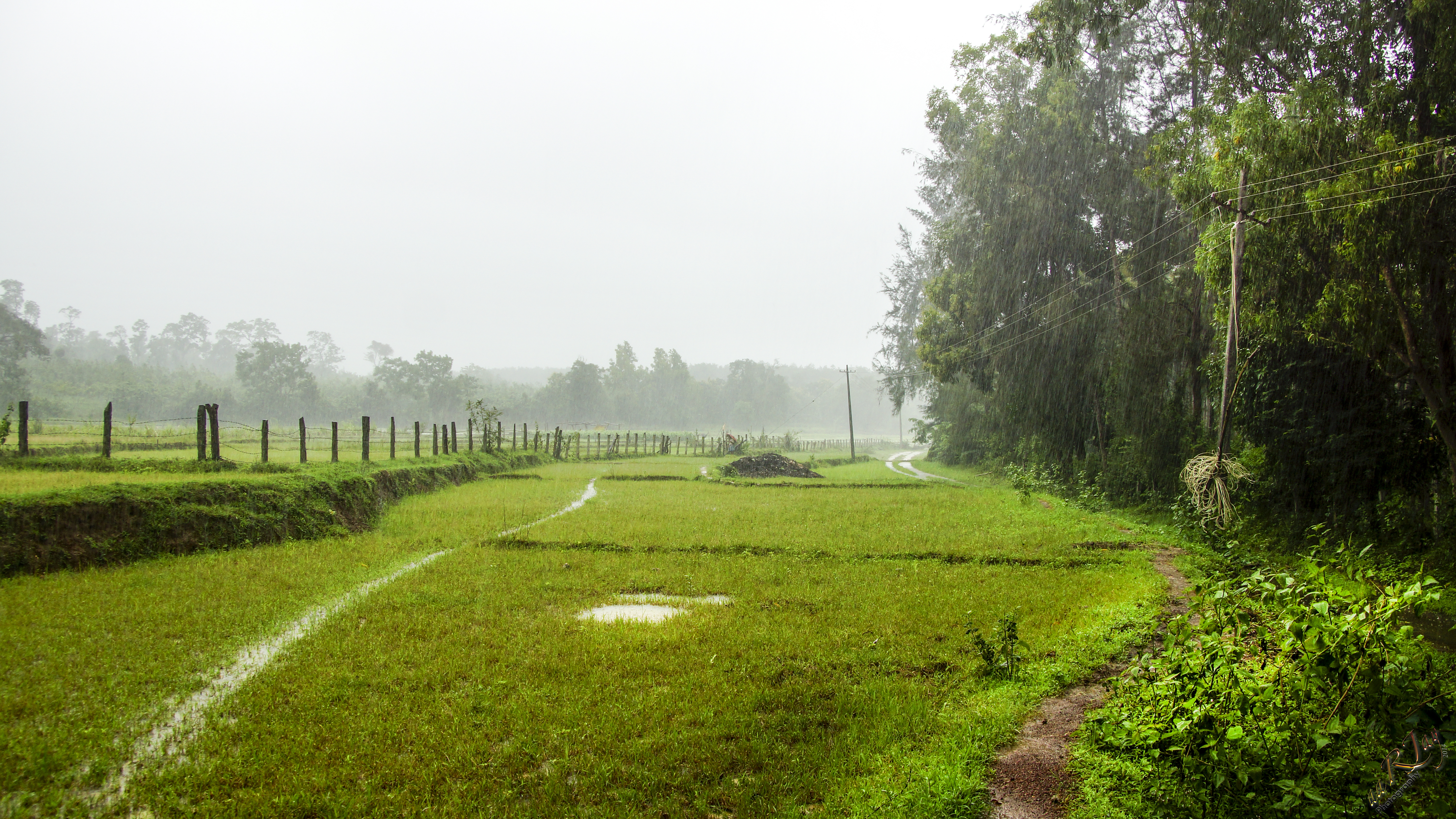
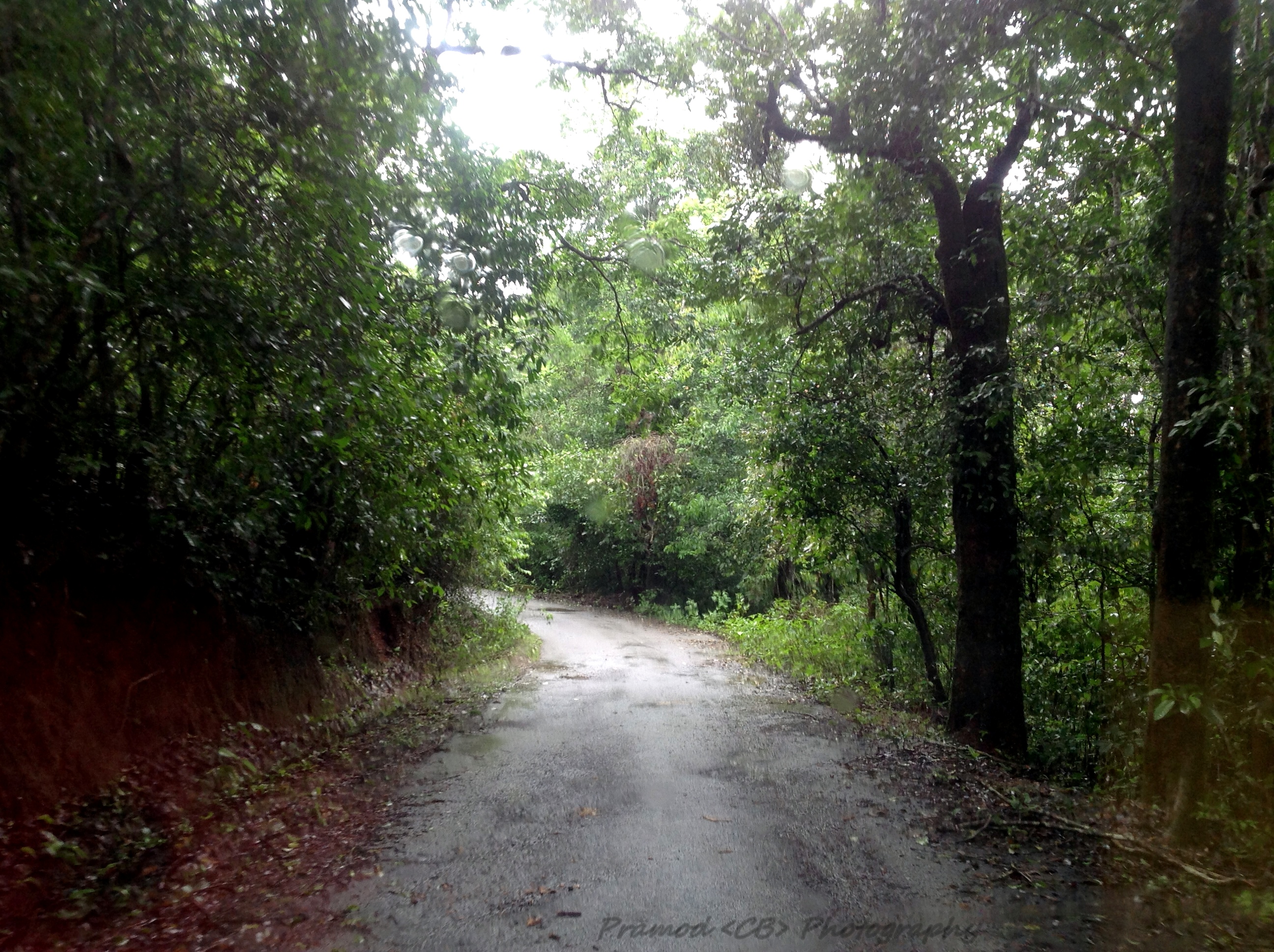
Monsoons in the Malnad Region
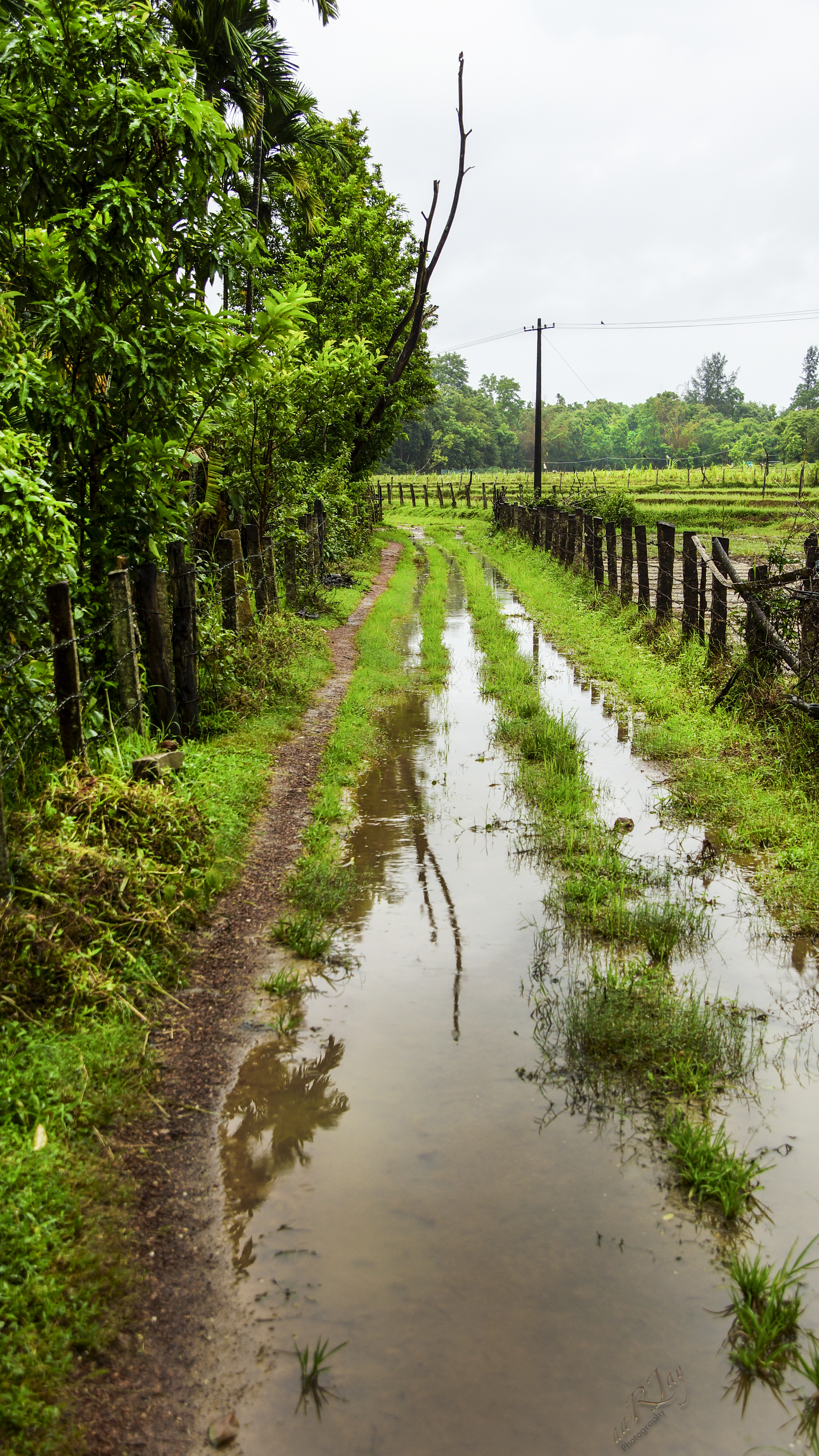
More Monsoon Malnad
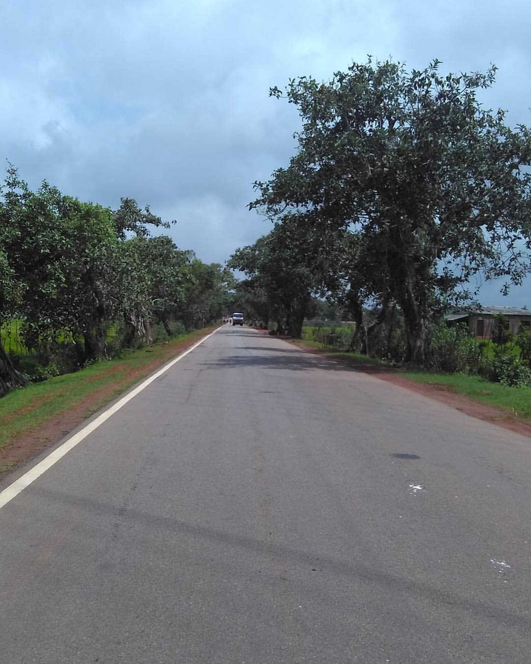
Enroute to Jog Falls
Highway to__________! #highway #nh17 #indianroads #india #asia #sagar #onthewaytojog #travel #trip #ride #rideordie #road #roadtrip #manglore #kudla
Rice Fields on Jog Falls HighWay, Sahayadri Hills, near Sagar Town, Shimoga District, Karnataka, India#Lumia15203Cloudy, #Low light mode.
After Rain Looks of Ricefields on Jog Falls Highway, near Sagar town, Sahayadri Hills, Shimoga District, Karnataka, India.#Lumia1520#Low light mode#Cloudy.
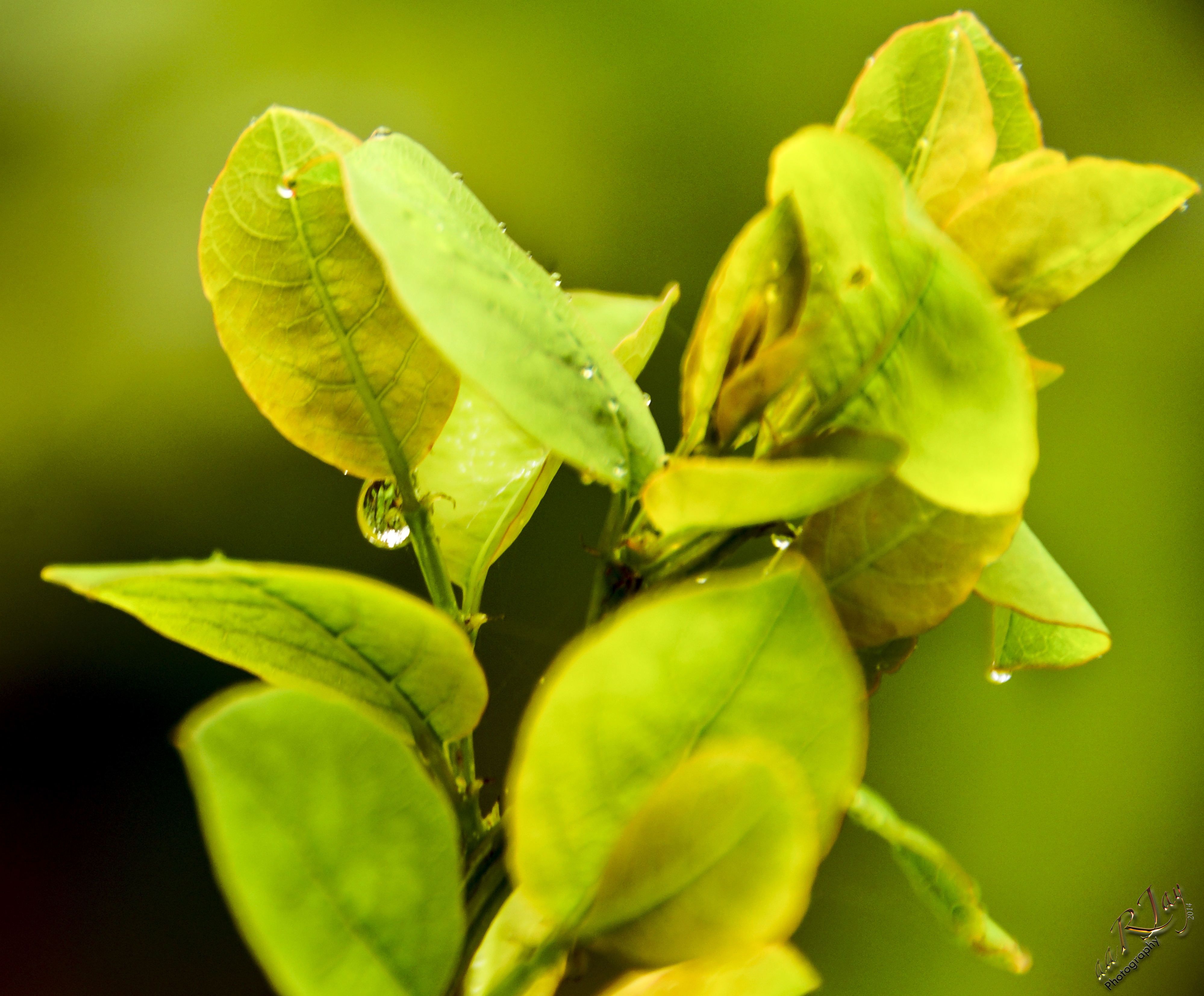
Green... everywhere
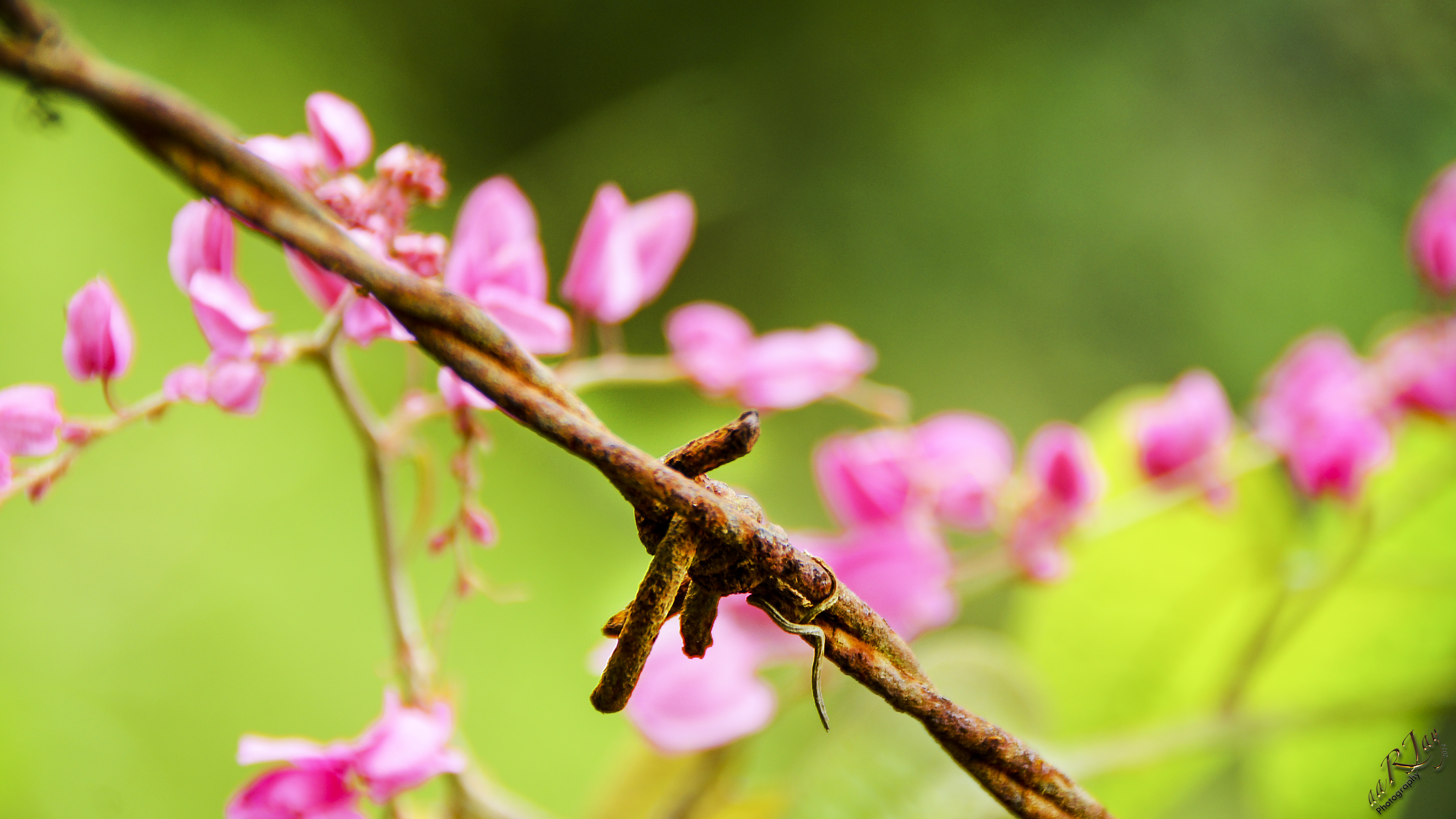
Hate and Love
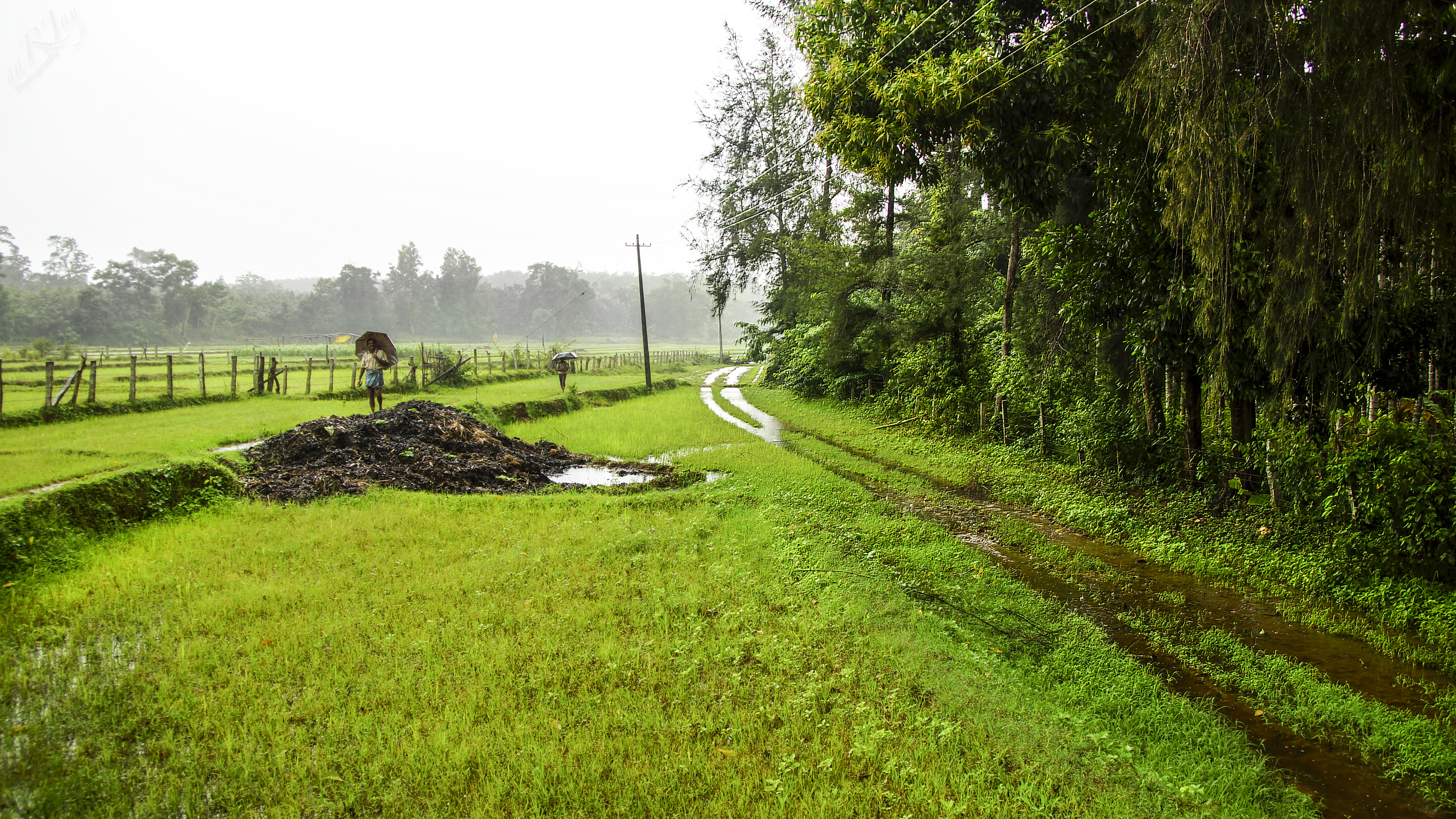
Monsoon at Malnad
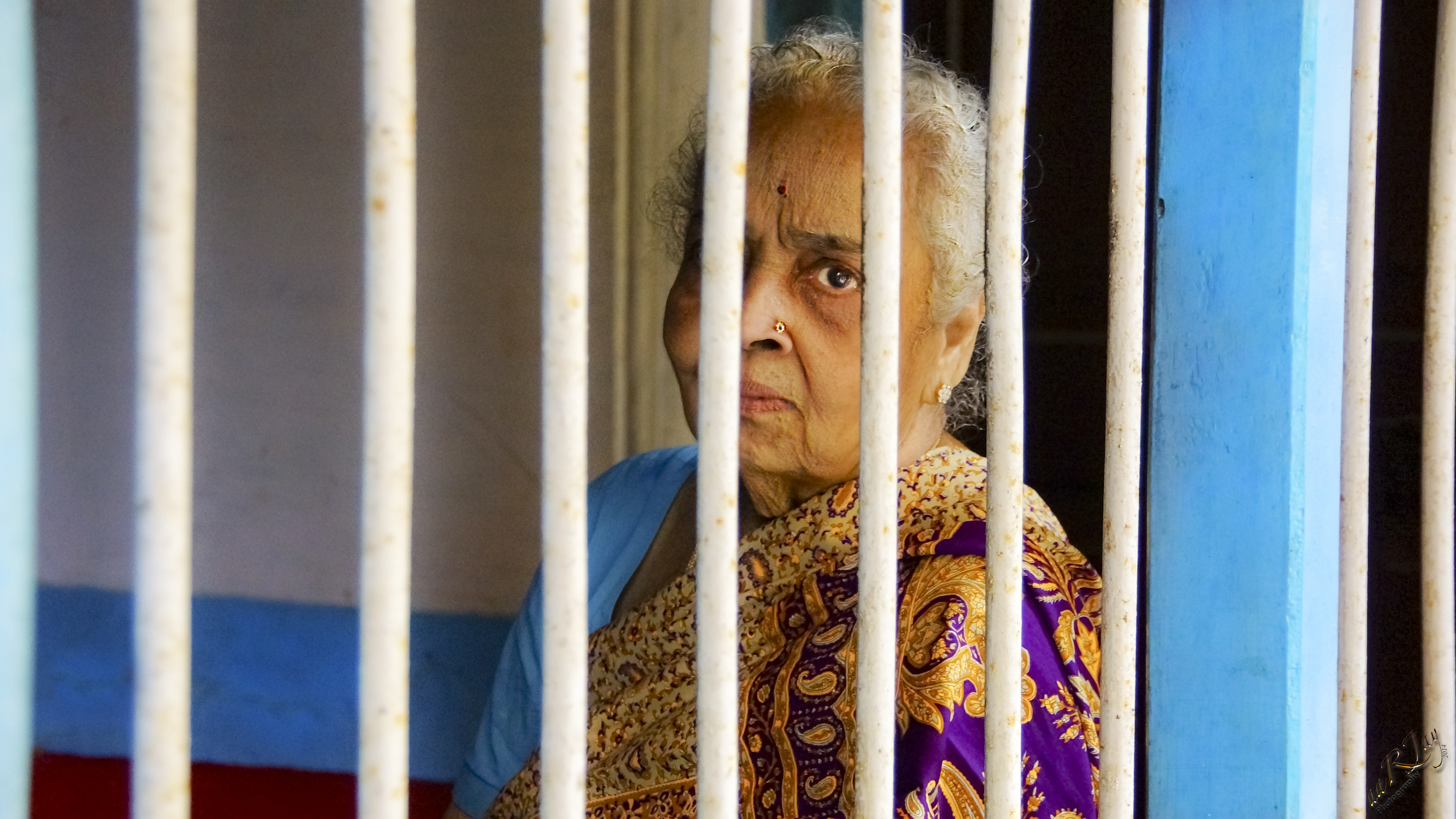
Vagaries of old age...
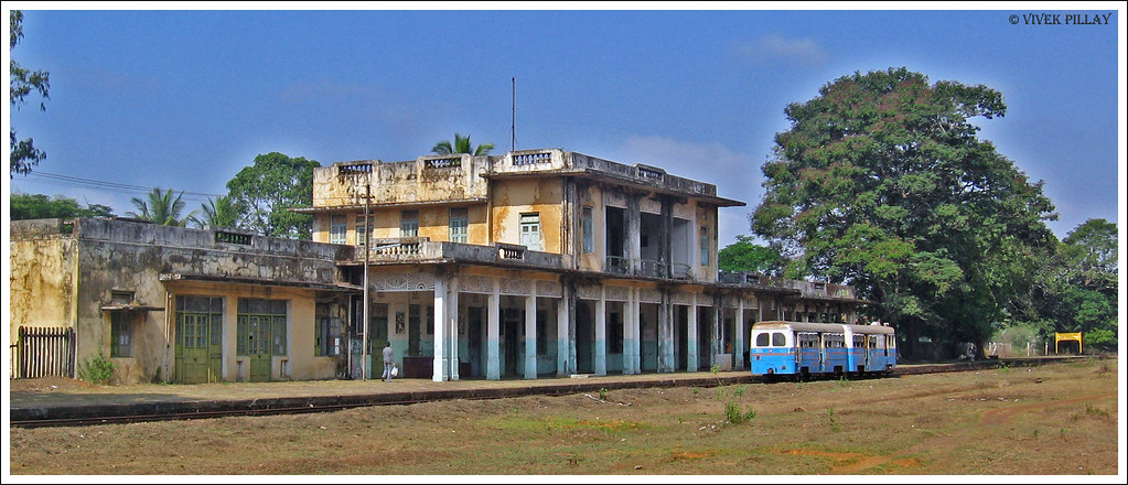
The empty railway station
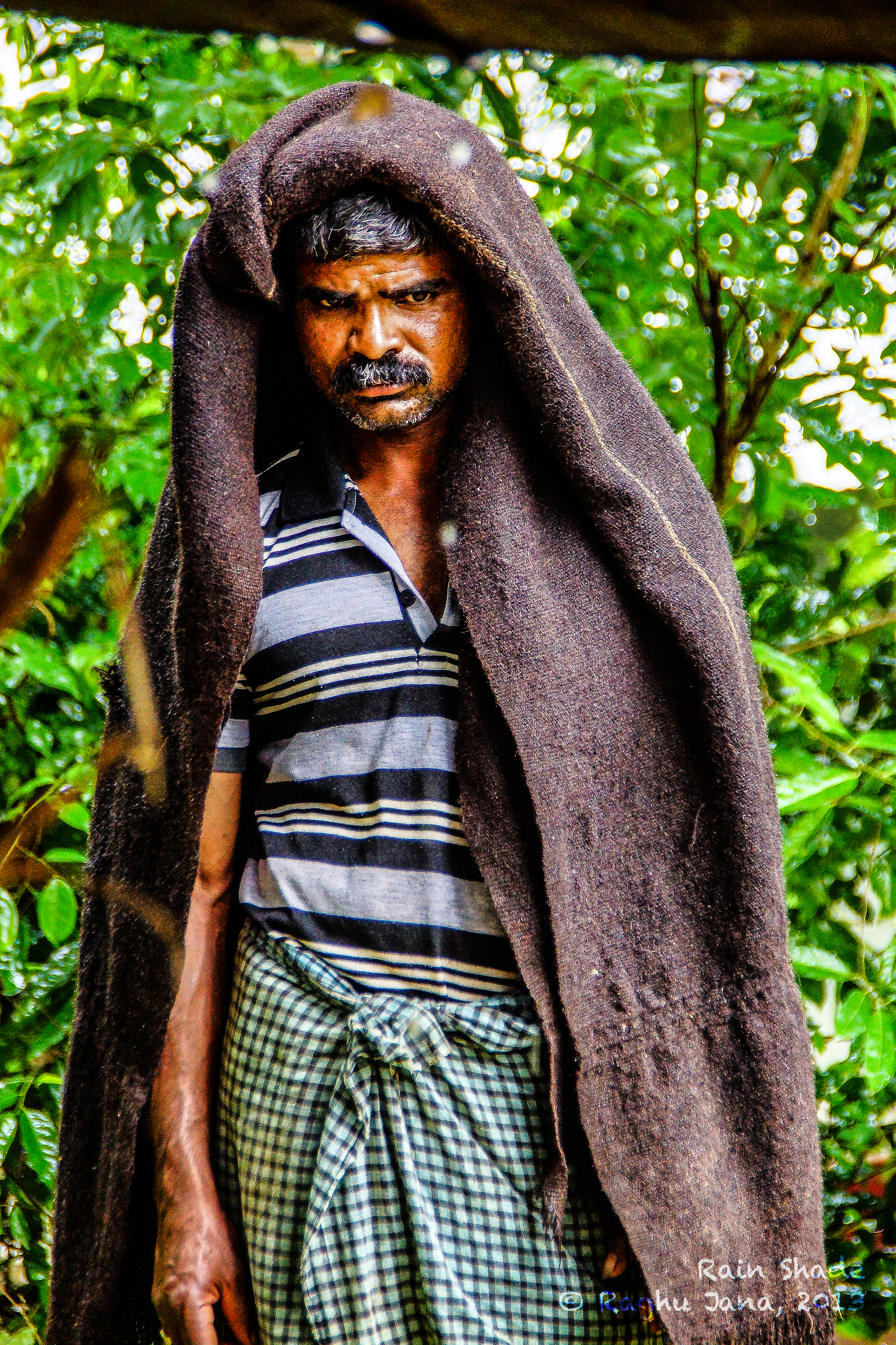
Rain Shade

Porcupine Worm
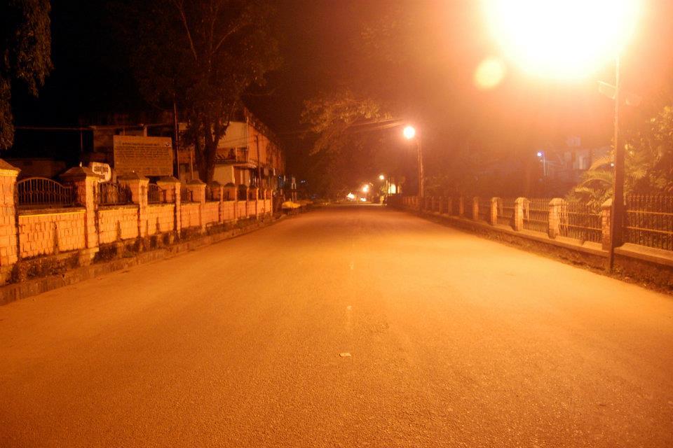
SAGAR JC ROAD AT NIGHT
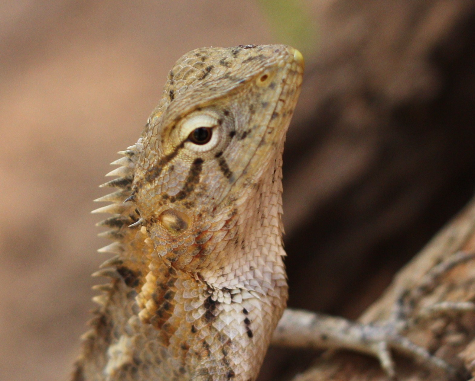
Eye of the Chameleon
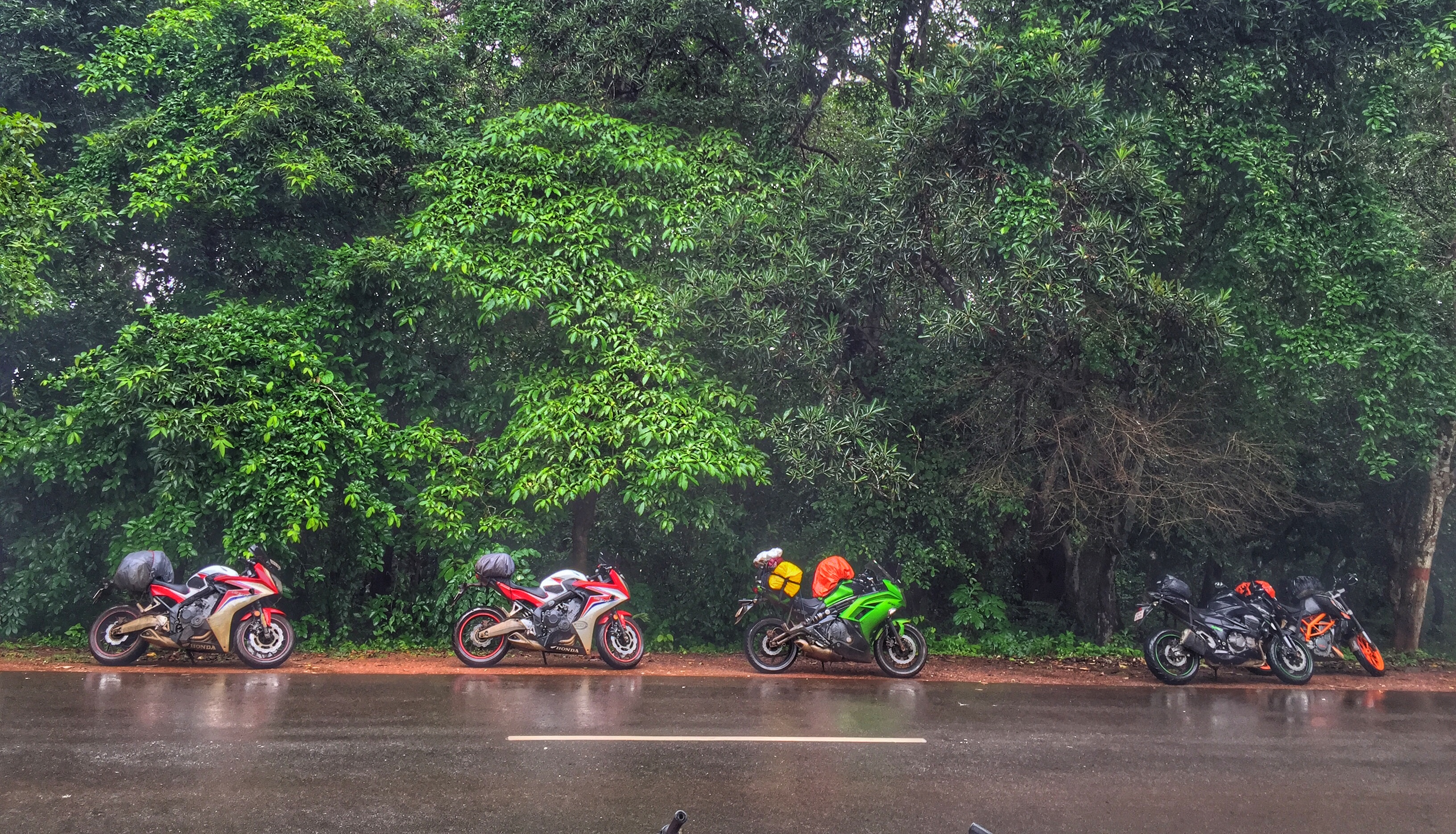
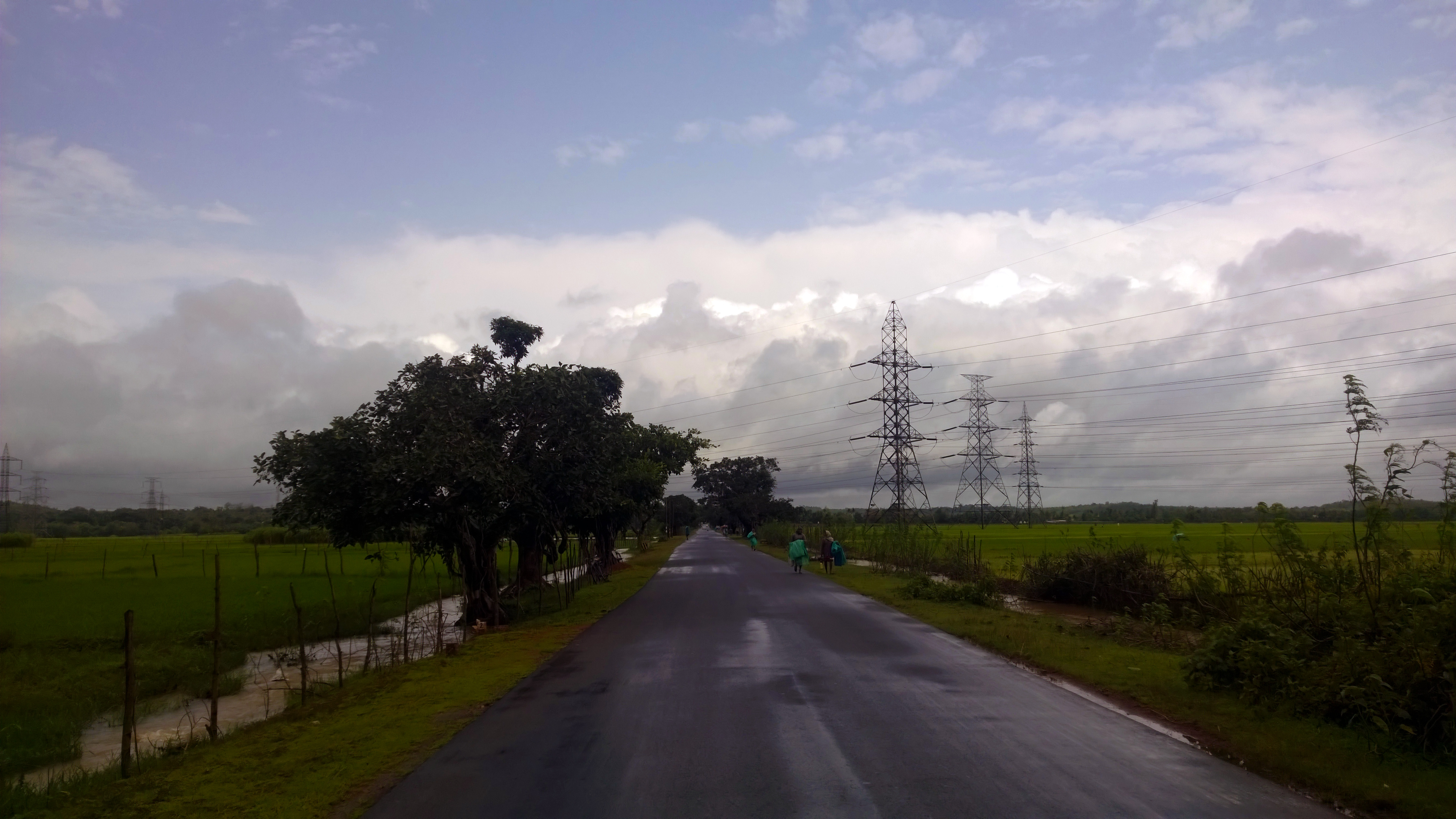
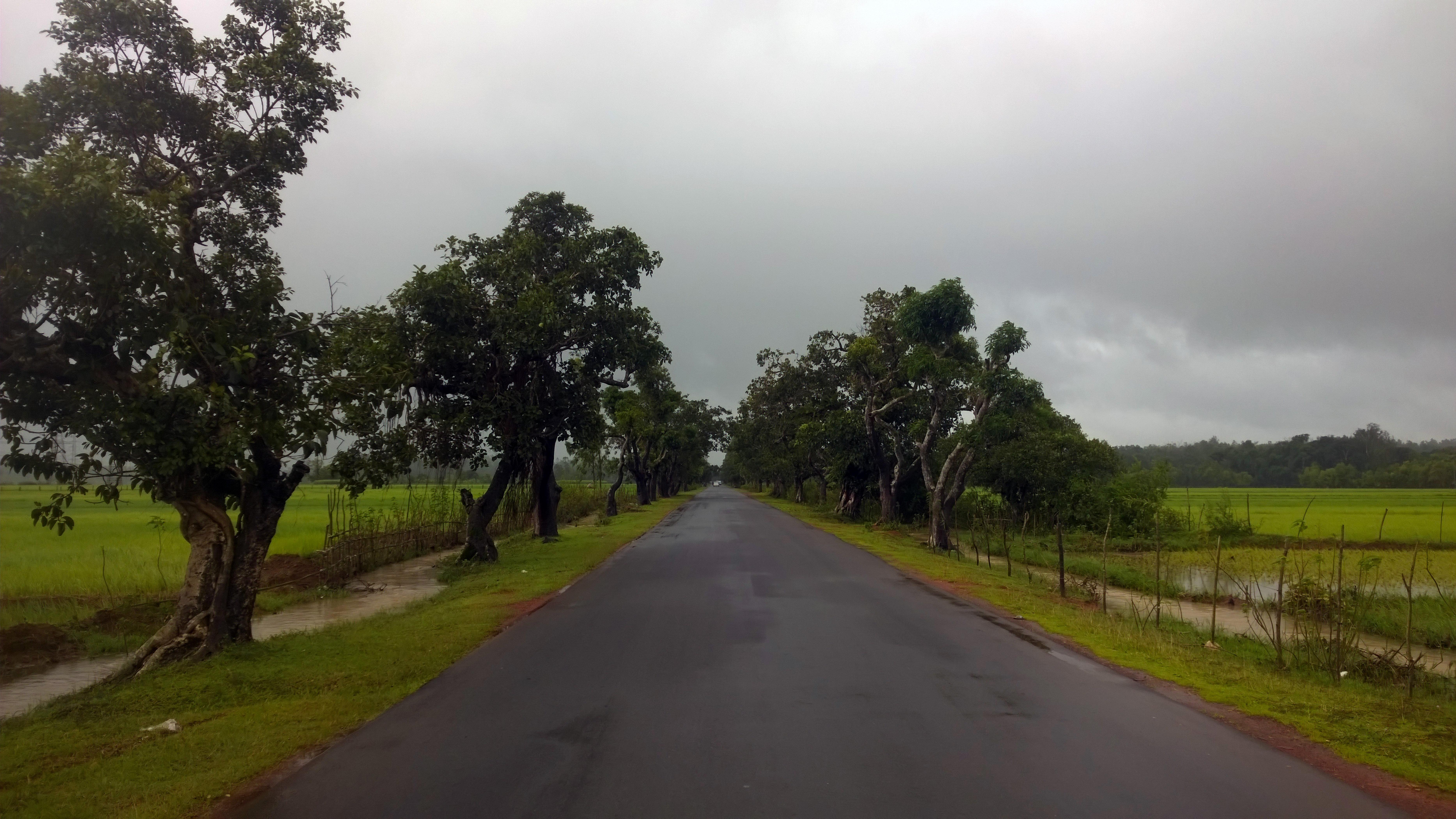
Day 12: Somwhere on the way to Sagara

Day 12: Somwhere on the way to Sagara
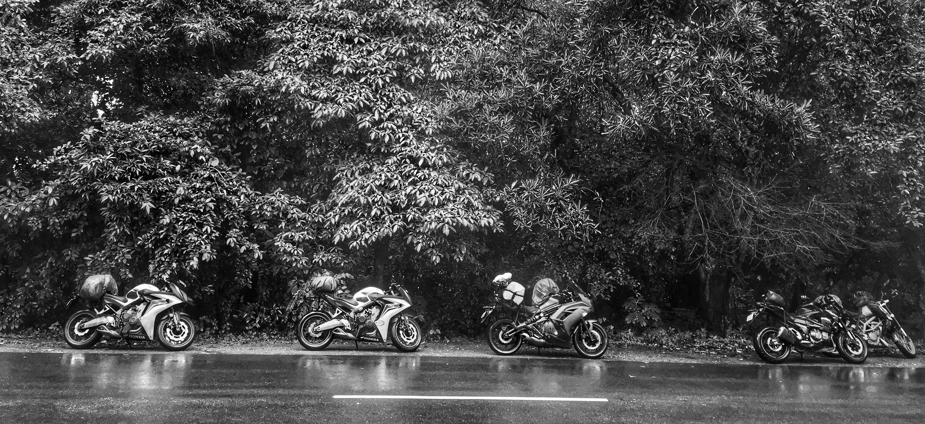
Day 12: Somwhere on the way to Sagara
Topographic Map of Sagar, Karnataka, India
Find elevation by address:

Places near Sagar, Karnataka, India:
Maradavalli
Soraba
Siddapur
Muppane
Shikaripur
Dodmane
Hirekerur Bus Stand
Hirekerur
Honnali
Hangal
Yana
Haveri
Byadagi
Motebennur
Uttara Kannada
Haveri
Devaragudda
Ranebennur
Kunimellihalli
Devagiri
Recent Searches:
- Elevation of Vista Blvd, Sparks, NV, USA
- Elevation of 15th Ave SE, St. Petersburg, FL, USA
- Elevation of Beall Road, Beall Rd, Florida, USA
- Elevation of Leguwa, Nepal
- Elevation of County Rd, Enterprise, AL, USA
- Elevation of Kolchuginsky District, Vladimir Oblast, Russia
- Elevation of Shustino, Vladimir Oblast, Russia
- Elevation of Lampiasi St, Sarasota, FL, USA
- Elevation of Elwyn Dr, Roanoke Rapids, NC, USA
- Elevation of Congressional Dr, Stevensville, MD, USA