Elevation of Ranebennur, Karnataka, India
Location: India > Karnataka > Haveri >
Longitude: 75.6382657
Latitude: 14.6113428
Elevation: 590m / 1936feet
Barometric Pressure: 94KPa
Elevation Map:
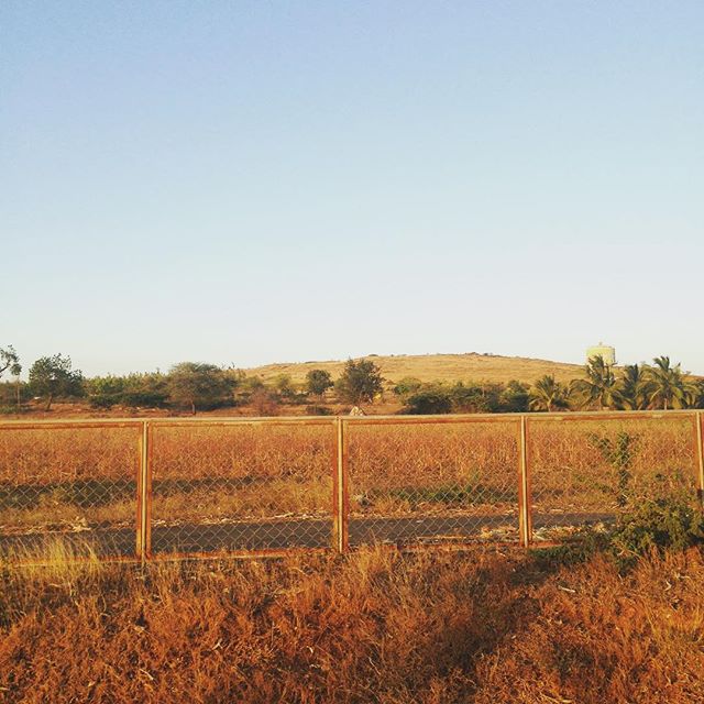
Satellite Map:
Related Photos:
For lack of time, on the...

Love is in the air..

Gram Blue

National Mughal-E-Azam KA-01-AE-6864 To Bangalore From Mumbai

Grey Francolin

Just Joking..

Pea Blue

Zebra Blue
Topographic Map of Ranebennur, Karnataka, India
Find elevation by address:

Places near Ranebennur, Karnataka, India:
Devaragudda
Chalageri
Byadagi
Harihar
Haraganahalli
Motebennur
Mahajenahalli
Haveri
Kukke Subramanya Temple
Telagi
Doddabathi
Hirekerur
Hirekerur Bus Stand
Haveri
Biet
Davangere
Devagiri
Honnali
Kunimellihalli
Shikaripur
Recent Searches:
- Elevation of Power Generation Enterprises | Industrial Diesel Generators, Oak Ave, Canyon Country, CA, USA
- Elevation of Chesaw Rd, Oroville, WA, USA
- Elevation of N, Mt Pleasant, UT, USA
- Elevation of 6 Rue Jules Ferry, Beausoleil, France
- Elevation of Sattva Horizon, 4JC6+G9P, Vinayak Nagar, Kattigenahalli, Bengaluru, Karnataka, India
- Elevation of Great Brook Sports, Gold Star Hwy, Groton, CT, USA
- Elevation of 10 Mountain Laurels Dr, Nashua, NH, USA
- Elevation of 16 Gilboa Ln, Nashua, NH, USA
- Elevation of Laurel Rd, Townsend, TN, USA
- Elevation of 3 Nestling Wood Dr, Long Valley, NJ, USA