Elevation of Siddapur, Karnataka, India
Location: India > Karnataka > Uttara Kannada >
Longitude: 74.8899841
Latitude: 14.3410006
Elevation: 572m / 1877feet
Barometric Pressure: 95KPa
Elevation Map:
Satellite Map:
Related Photos:
Jog Falls - Another view
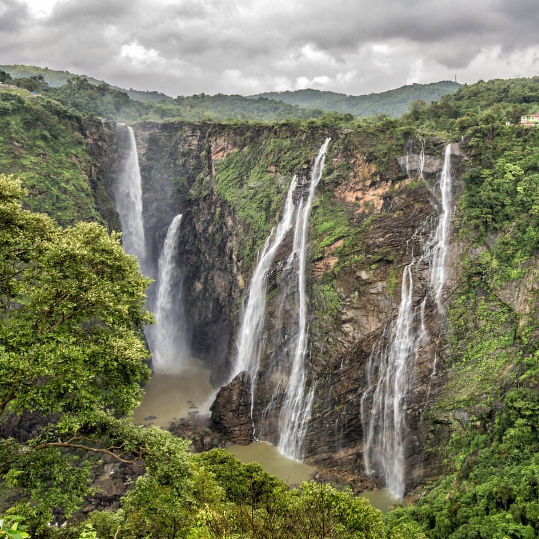
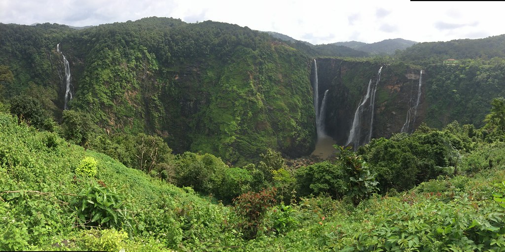
Panoramic view of Jog Falls
With a view this good, you'll just be looking out the window. #jog #monsoon #1500kmroadtrip
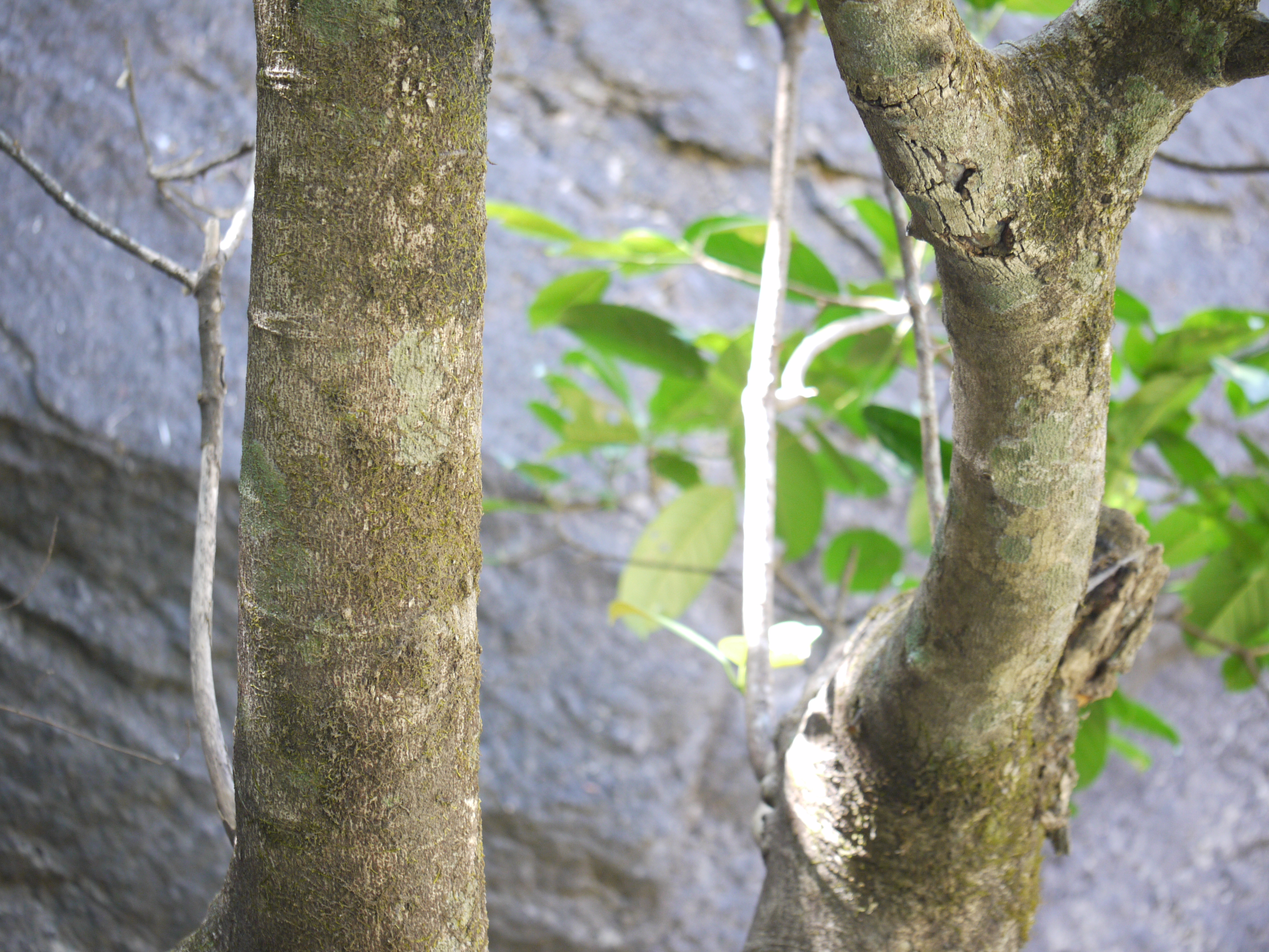
Talbot's Memecylon

stream in western ghats - rainy season
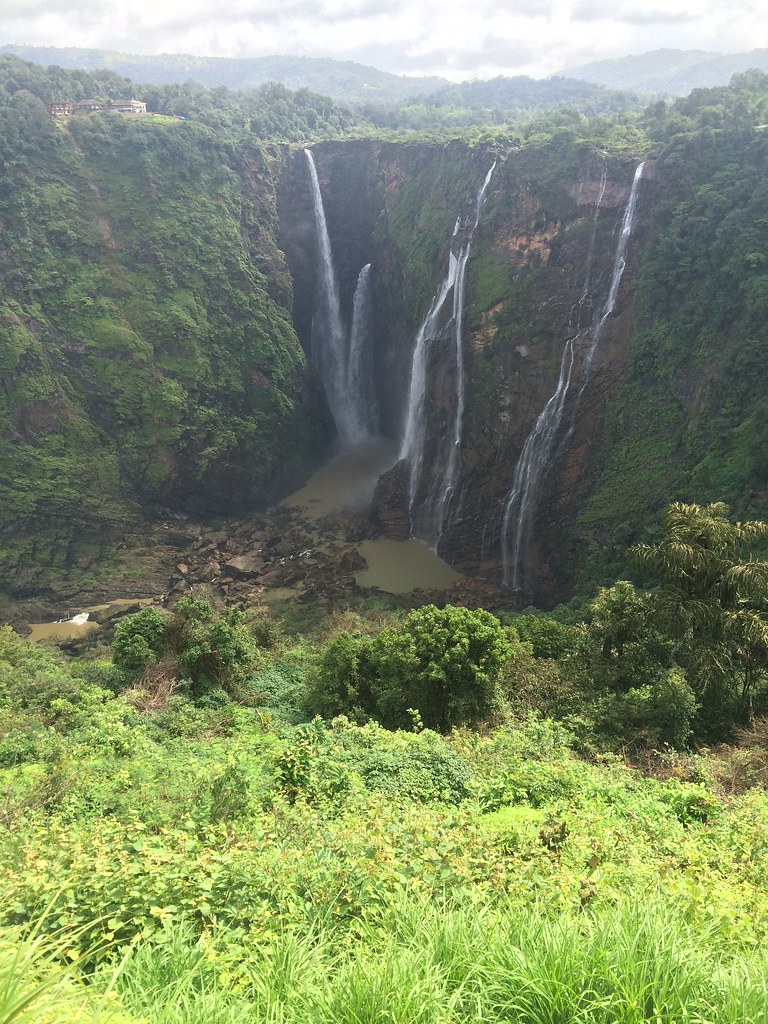
... Jog Falls
Ficus callosa

stream amidst the rain forests

rain forest and sunshine
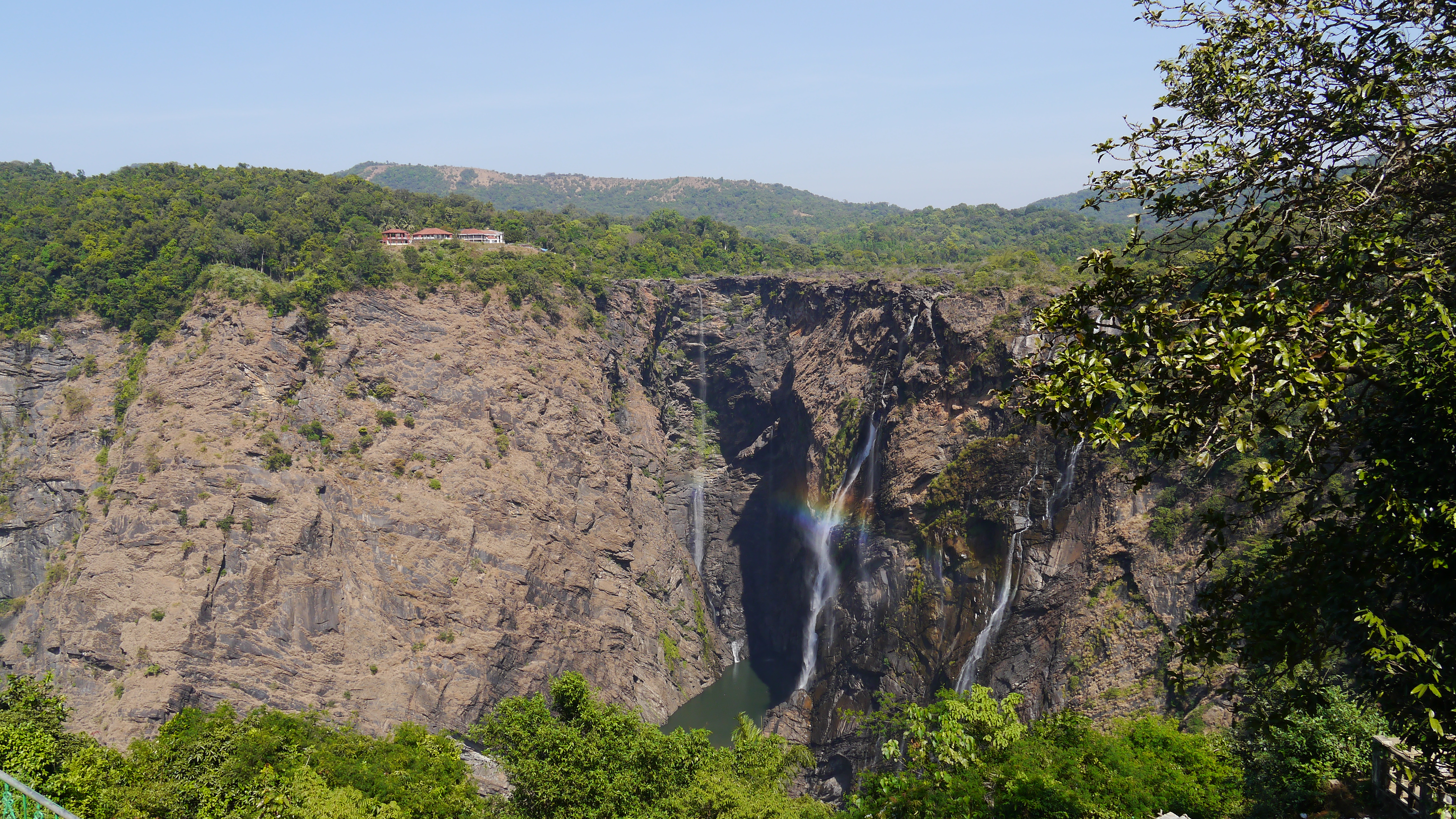
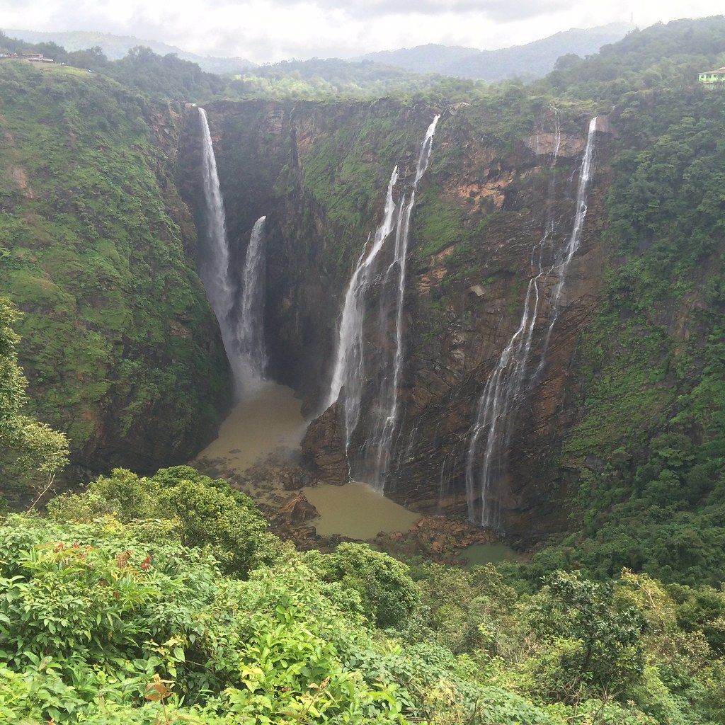
Jog Falls
The jog falls.. India. (Second highest plunge falls) #nature_sultans #nature_perfection #teamcanon #canonfanphoto #incredibleindia #travelphotography #travelaroundtheworld #travelinindia #solotravel #photofie #mountains #teaestate #hippieinhills #natureph
The Magnificent Jog Falls

Raja Rani Roarer Rocket
Jog Falls
Jog Falls
Jog Falls
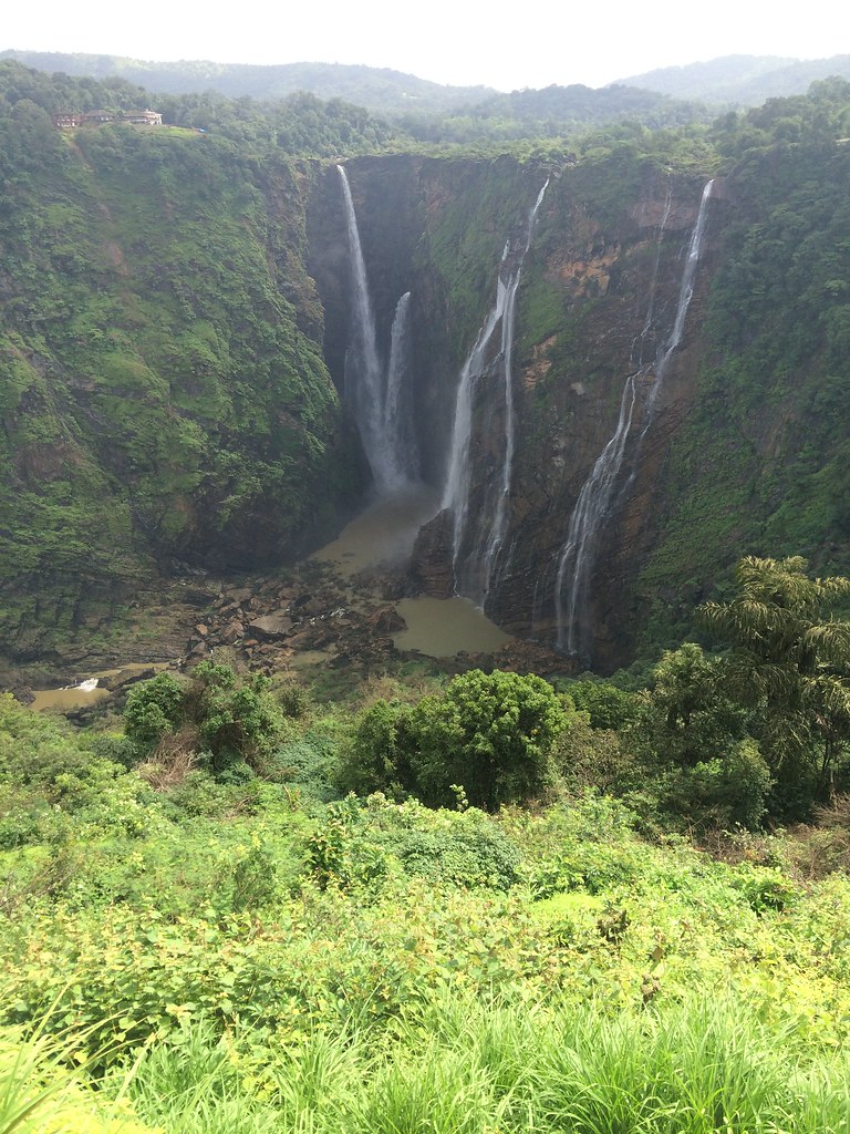
Jog Falls
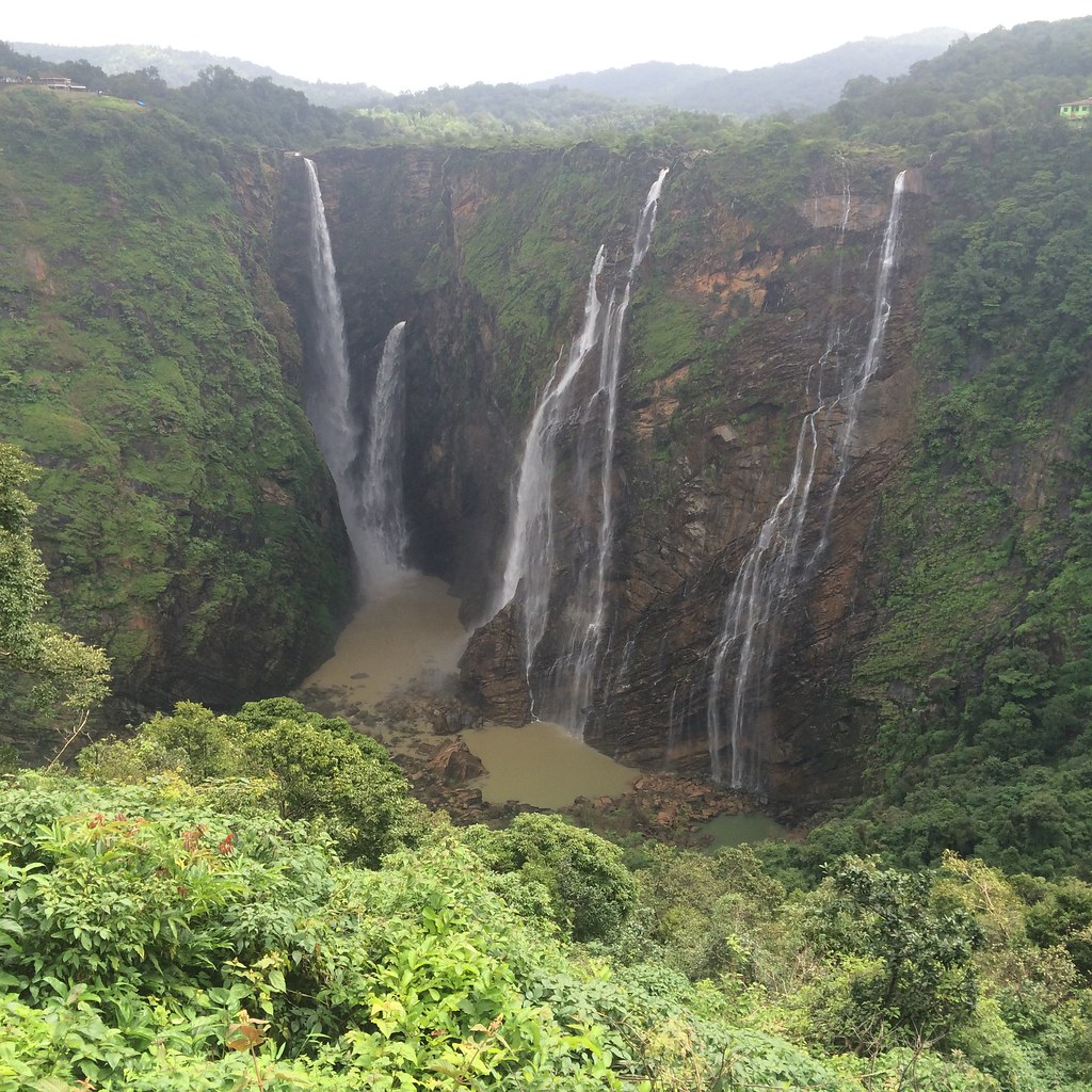
Jog Falls
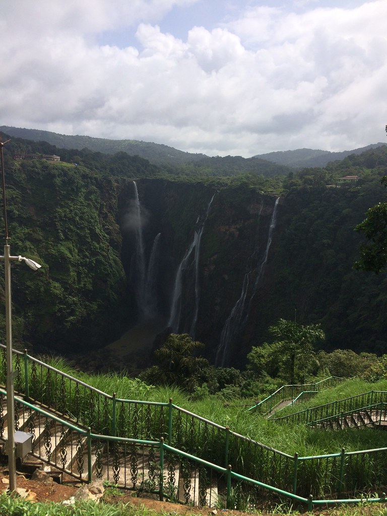
Jog Falls
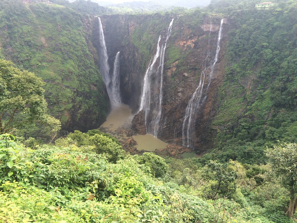
Jog Falls
Jog Falls
Jog Falls
Topographic Map of Siddapur, Karnataka, India
Find elevation by address:

Places near Siddapur, Karnataka, India:
Dodmane
Maradavalli
Soraba
Sagar
Muppane
Yana
Shikaripur
Hangal
Uttara Kannada
Hirekerur Bus Stand
Hirekerur
Haveri
Haveri
Kunimellihalli
Byadagi
Bankapur
Motebennur
Devagiri
Bisanhalli
Shiggaon
Recent Searches:
- Elevation of Leguwa, Nepal
- Elevation of County Rd, Enterprise, AL, USA
- Elevation of Kolchuginsky District, Vladimir Oblast, Russia
- Elevation of Shustino, Vladimir Oblast, Russia
- Elevation of Lampiasi St, Sarasota, FL, USA
- Elevation of Elwyn Dr, Roanoke Rapids, NC, USA
- Elevation of Congressional Dr, Stevensville, MD, USA
- Elevation of Bellview Rd, McLean, VA, USA
- Elevation of Stage Island Rd, Chatham, MA, USA
- Elevation of Shibuya Scramble Crossing, 21 Udagawacho, Shibuya City, Tokyo -, Japan