Elevation of S Wabash St, Wabash, IN, USA
Location: United States > Indiana > Wabash County > Noble Township > Wabash >
Longitude: -85.820515
Latitude: 40.7977149
Elevation: 216m / 709feet
Barometric Pressure: 99KPa
Elevation Map:
Satellite Map:
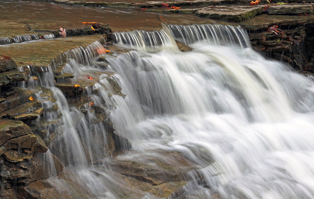
Related Photos:
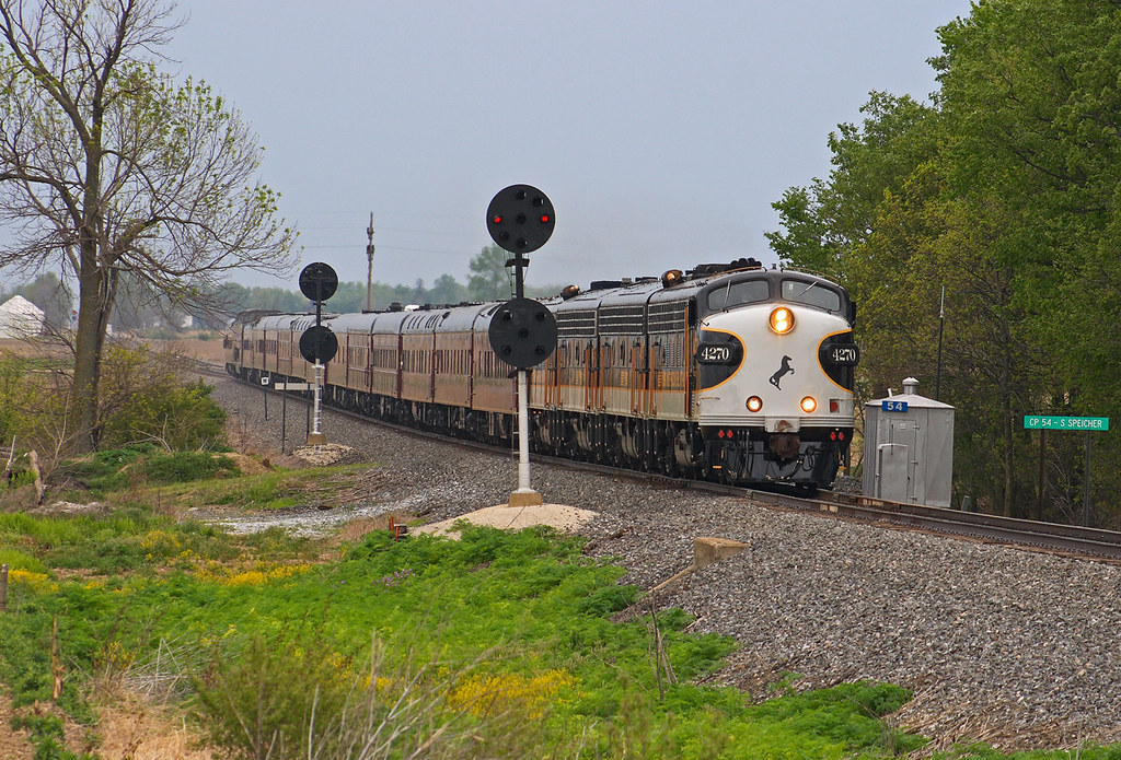
OCS - CP54 Speicherville
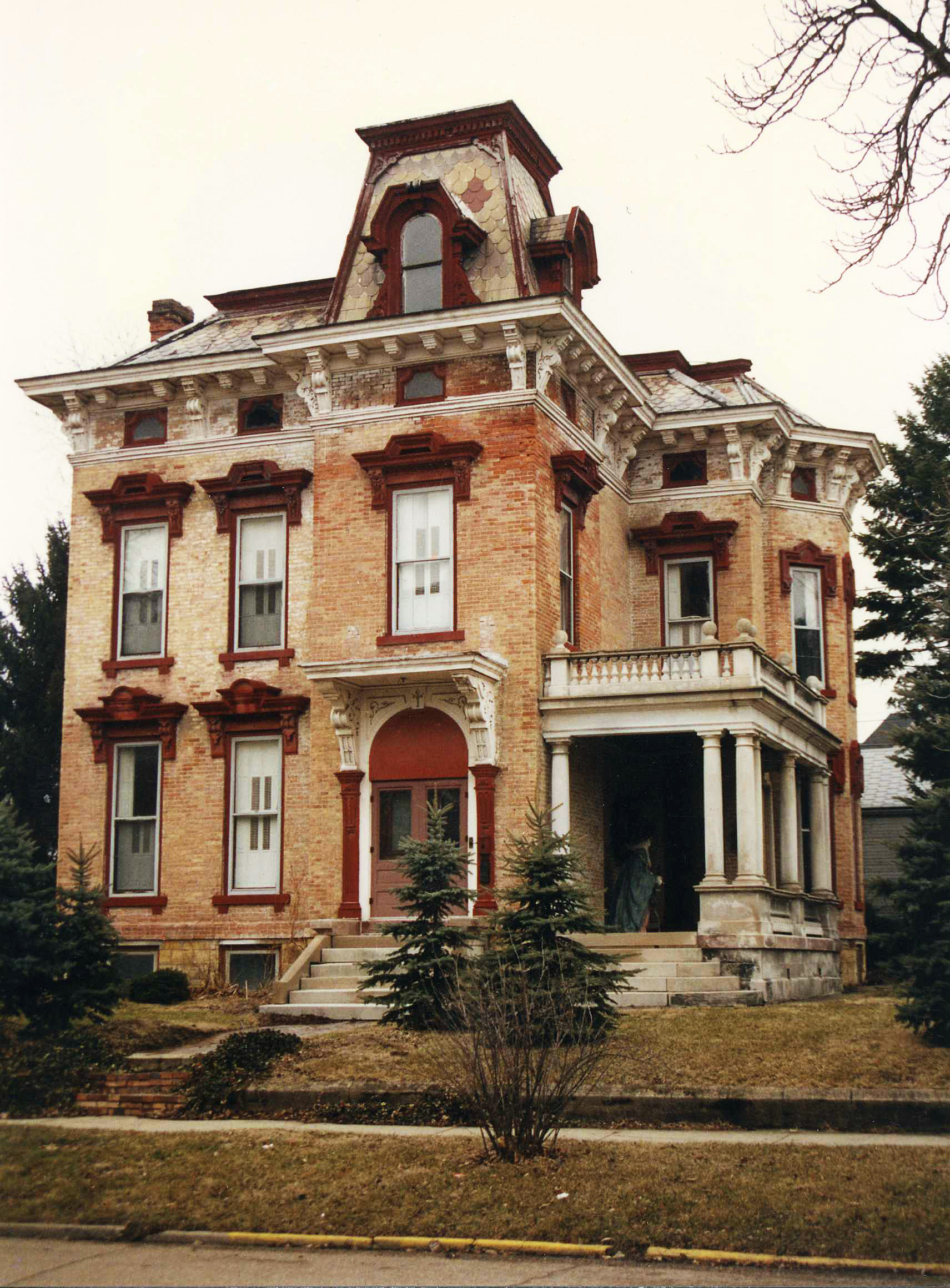
McNamee-Eilts house, Wabash, IN
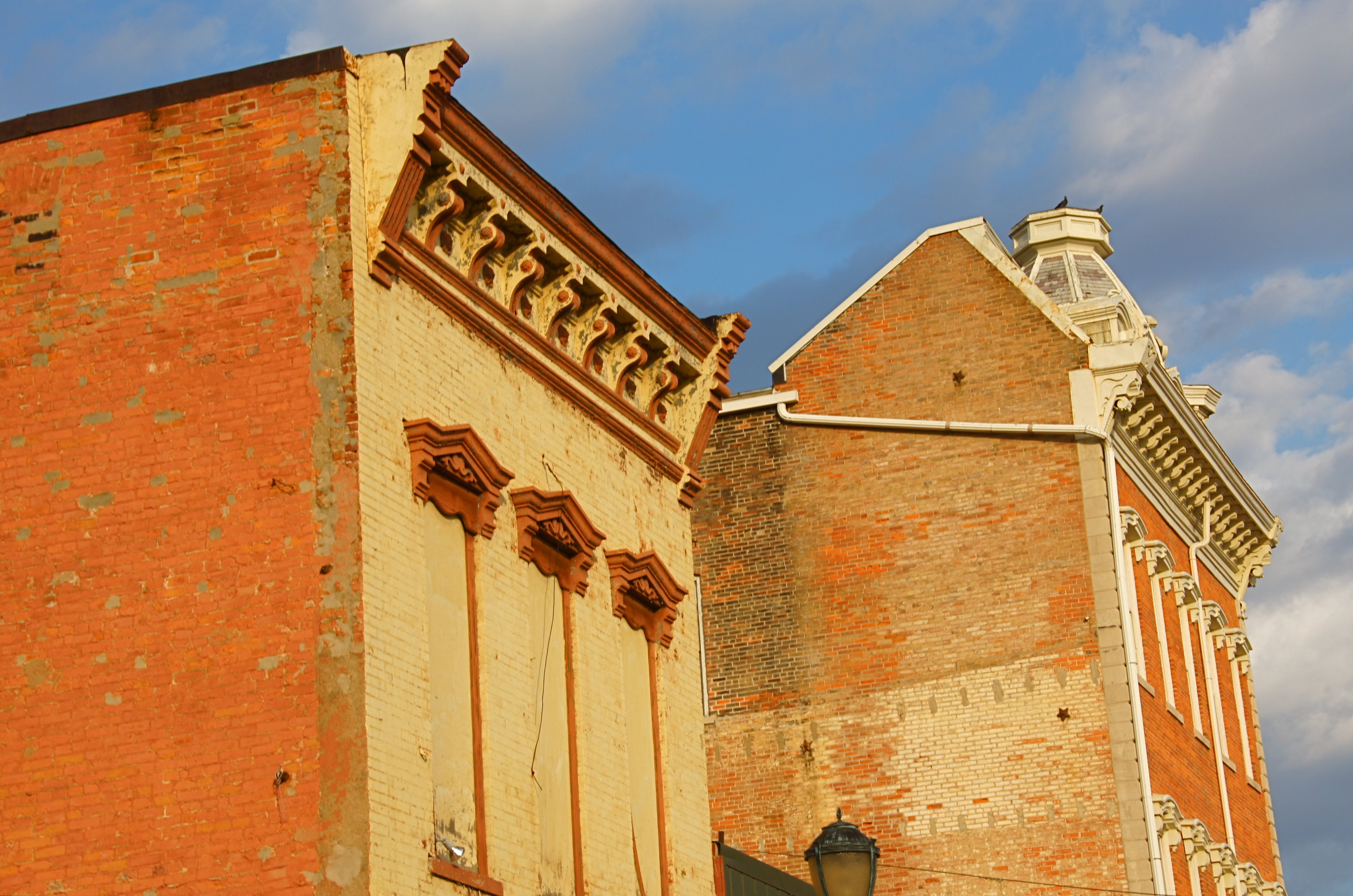
Wabash, IN Architecture

ANTIQUES, Wabash, IN
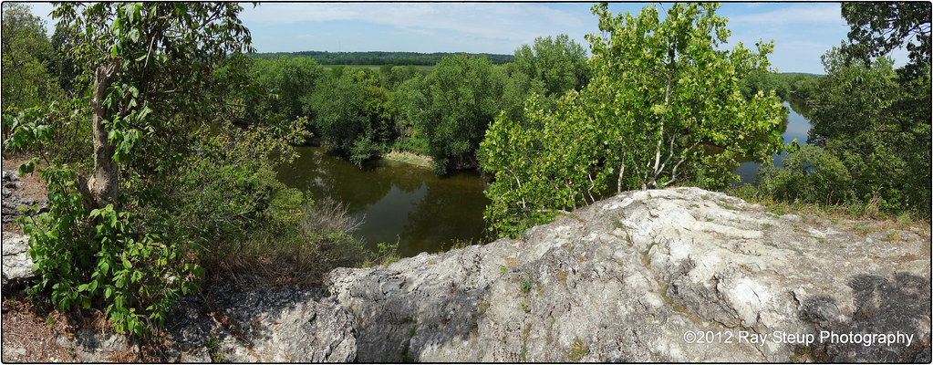
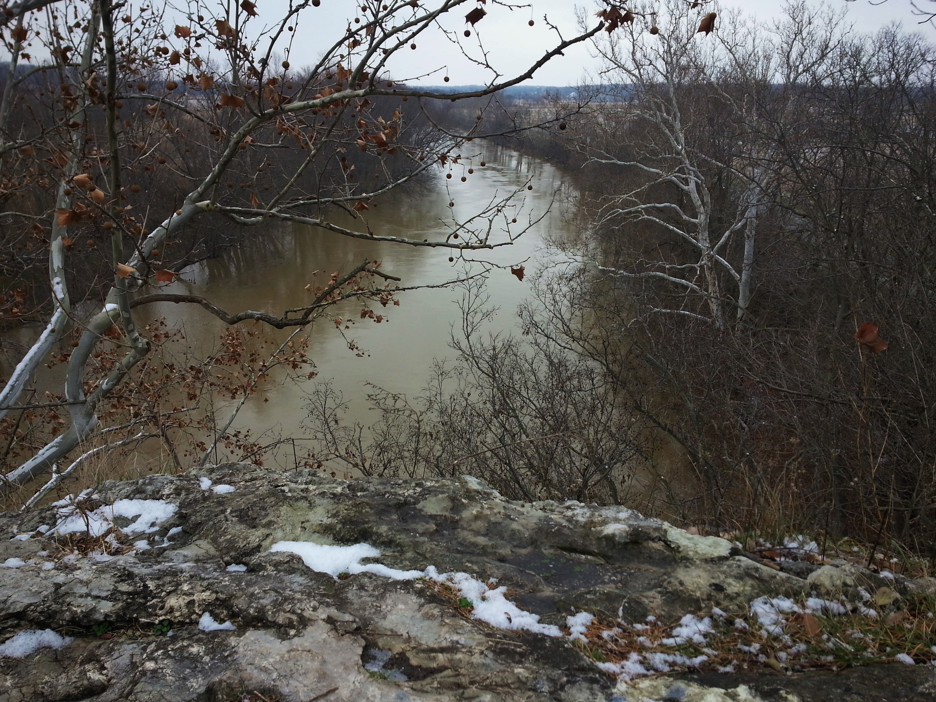
The view from Hanging Rock - Wabash County Indiana
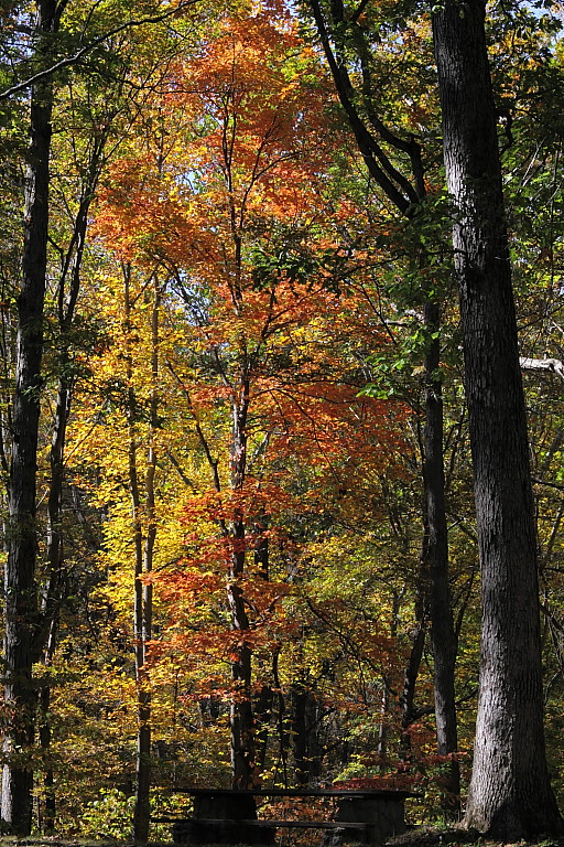
October at Hathaway Preserve
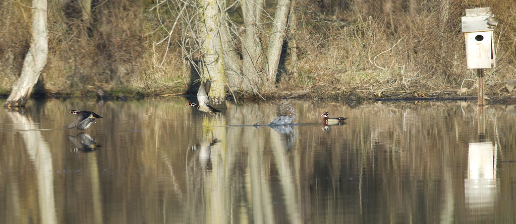
Off To Work

A Rare Moment
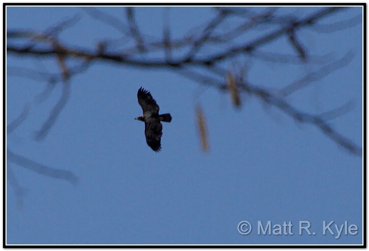
Perhaps a young Eagle?

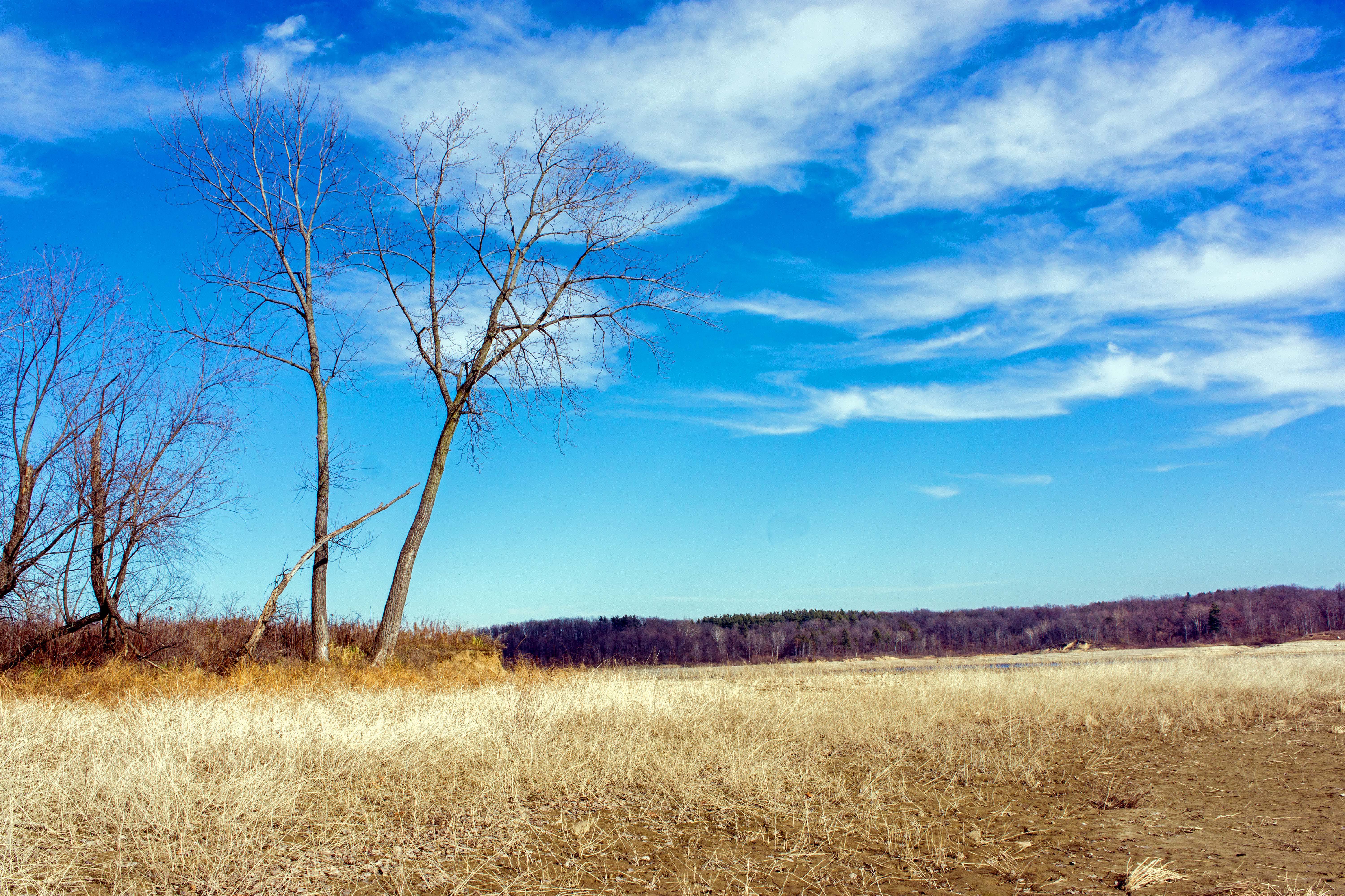
Blue Yonder

Mississinewa Reservoir
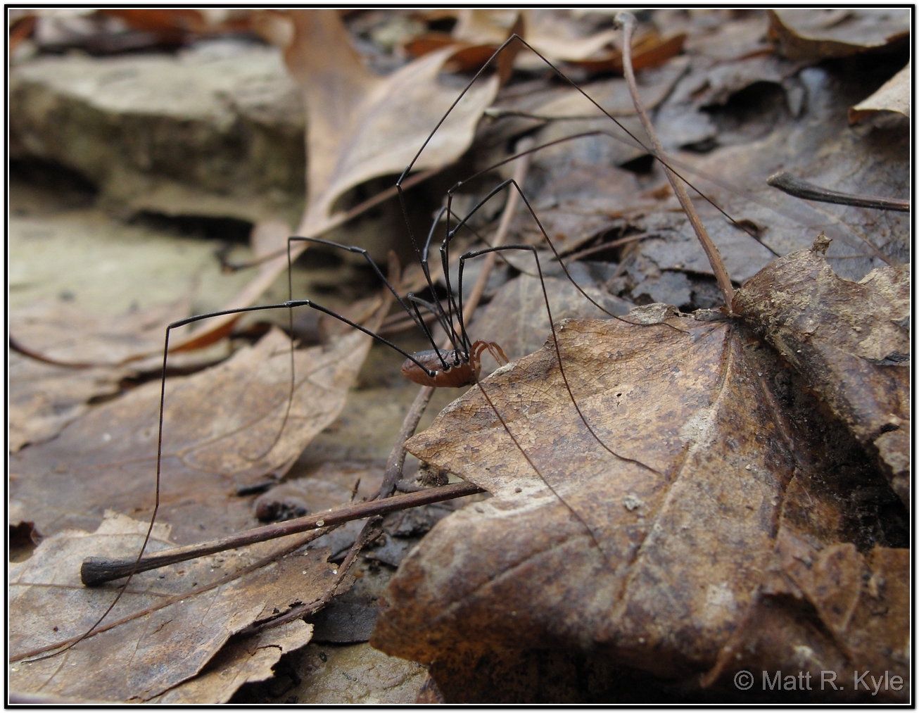
Daddy-Longlegs. (It's not a spider)

With Malice Toward None, With Charity For All
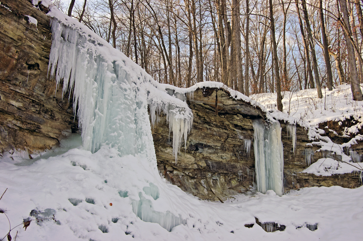
Hanging Rock National Natural Landmark

Hanging Rock National Natural Landmark
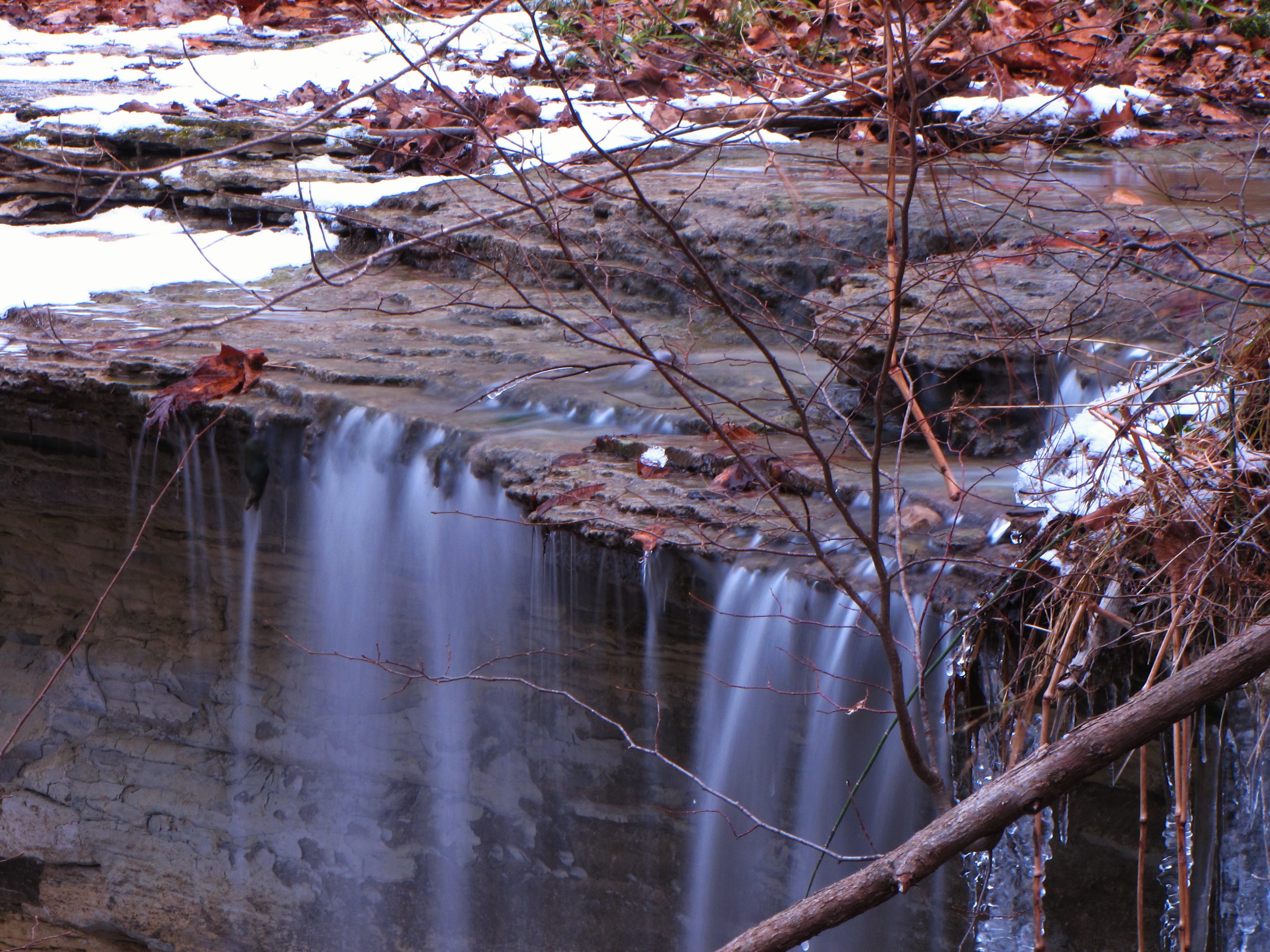
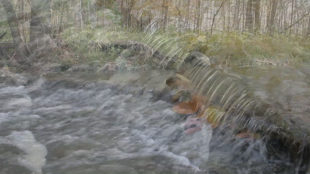
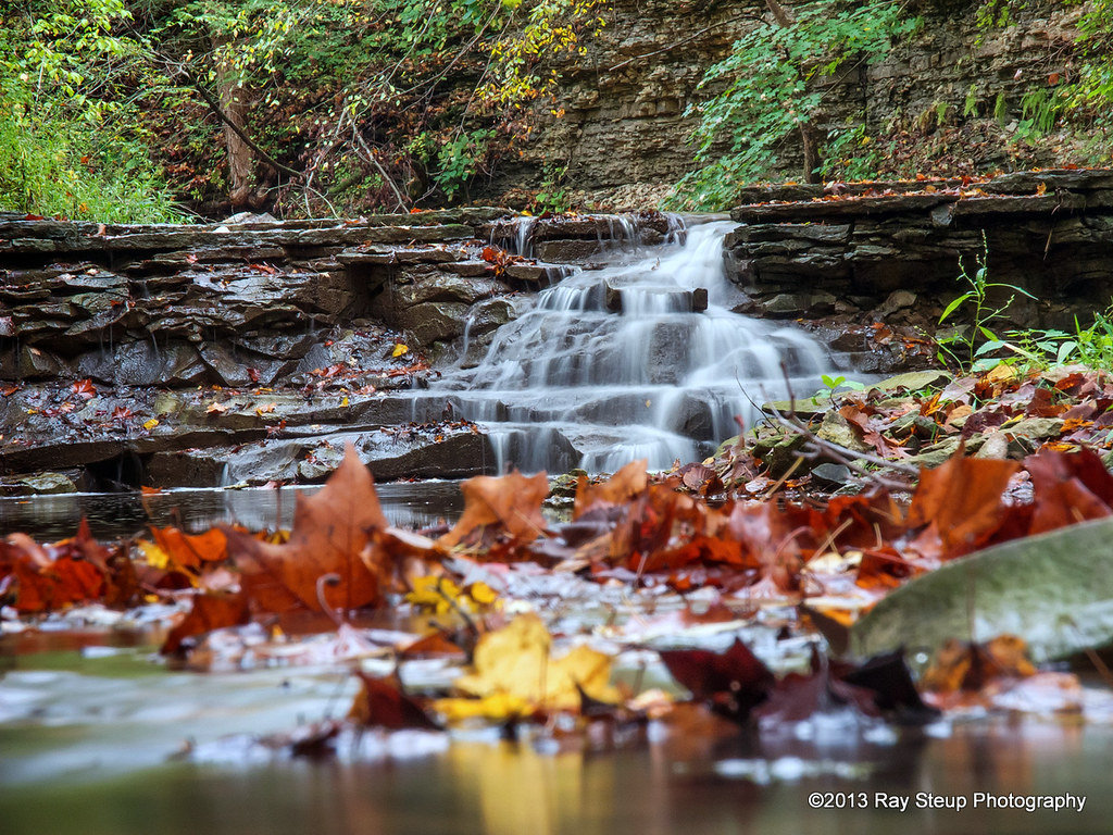
Kissing Falls - moving in close
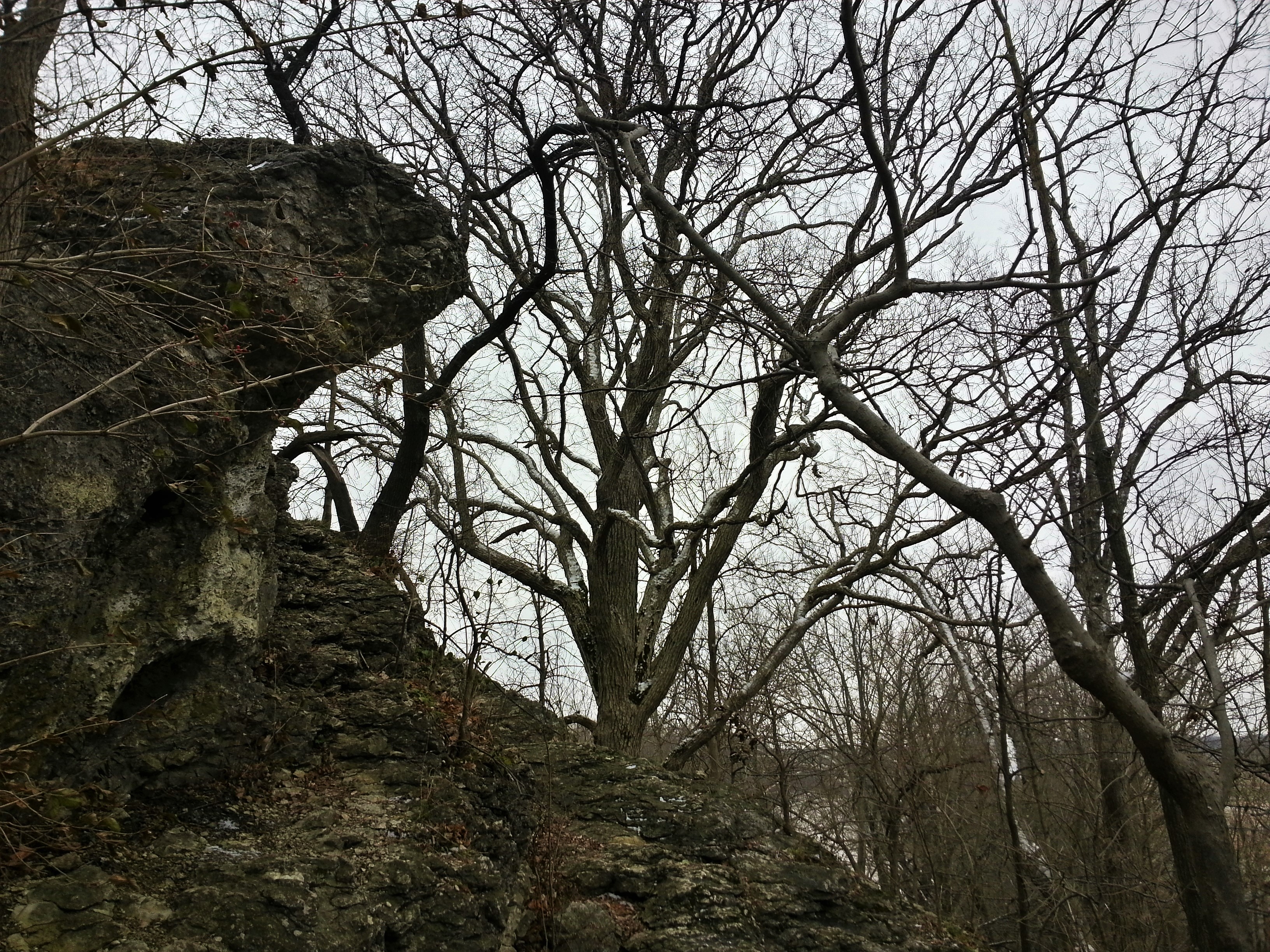
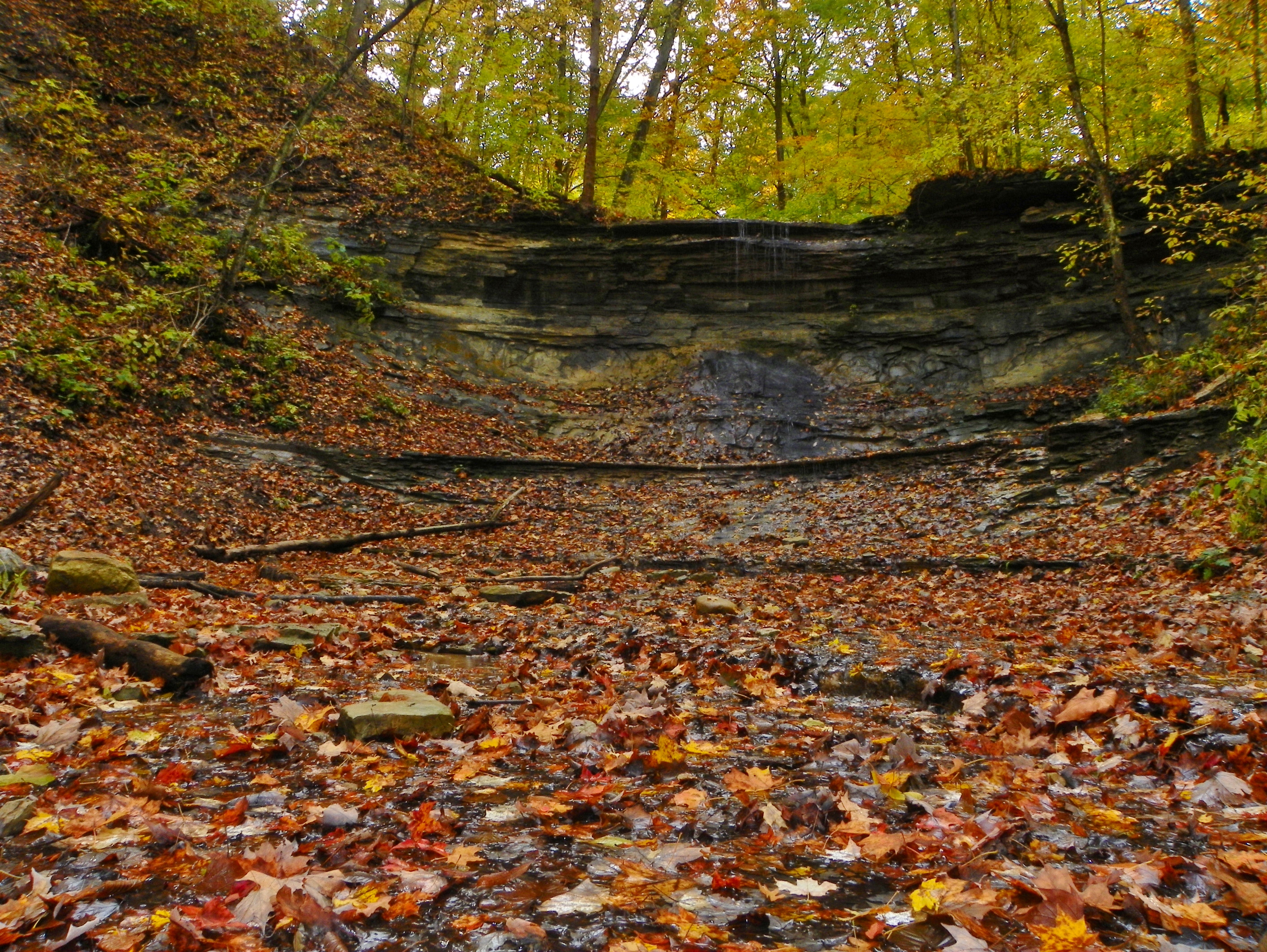
Hanging Rock National Natural Landmark

Barn near Wabash, IN

Going UP
Salamonie River State Forest
Hominy Ridge Falls
October 6, 2013 6:02P.M.
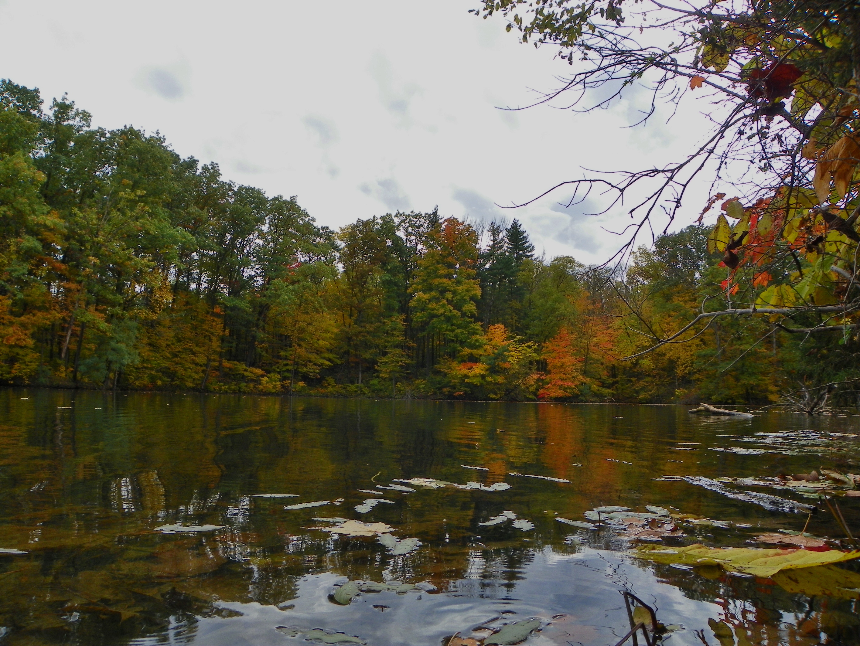
Hominy Ridge Lake

Good morning corn

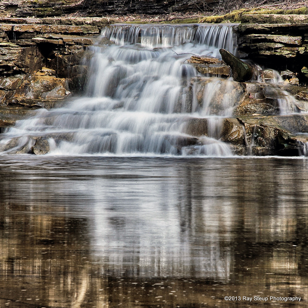
Kissing Falls
Salamonie State Forest(26)
Acres Land Trust Preserve

Sleepy Hollow Trail
Mississinewa Reservoir
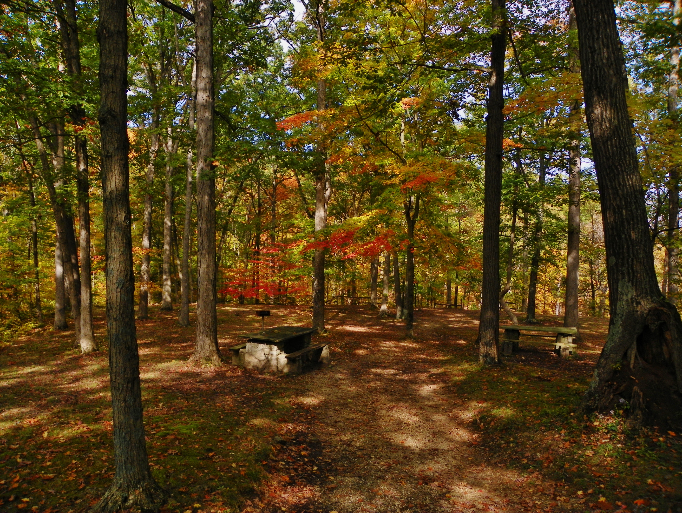
Hathaway Preserve at Ross Run
Salamonie River State Forest - Three Falls Trail

Kissing Falls
Hominy Ridge
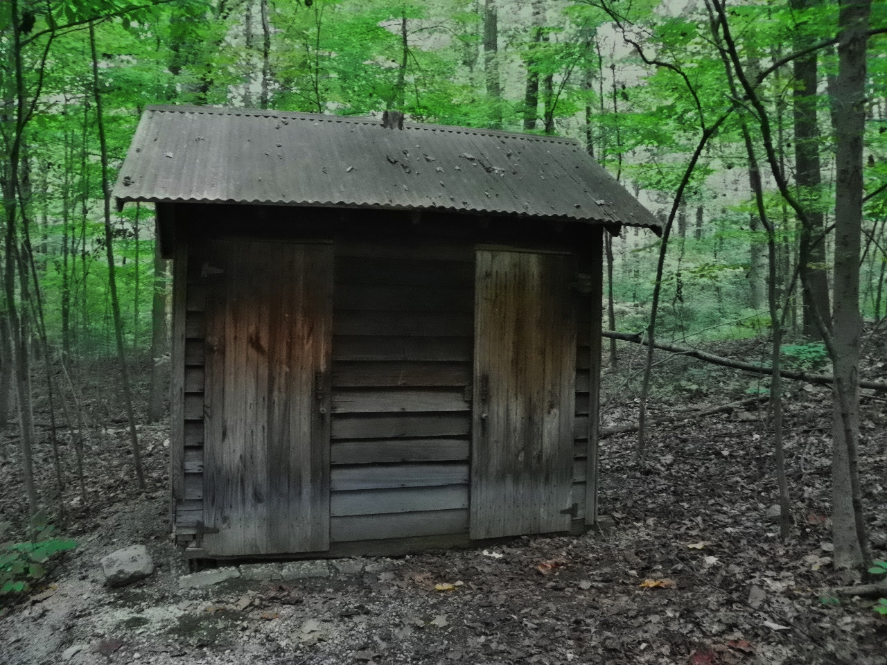
Outhouse, Kokiwanee Nature Preserve

Hathaway Preserve I
10-10-10 in Northeast Indiana
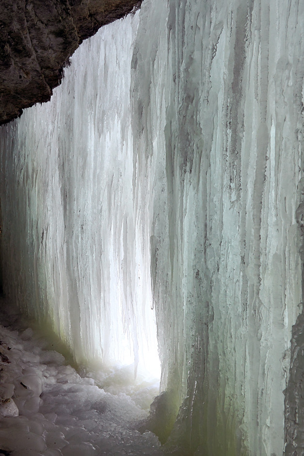
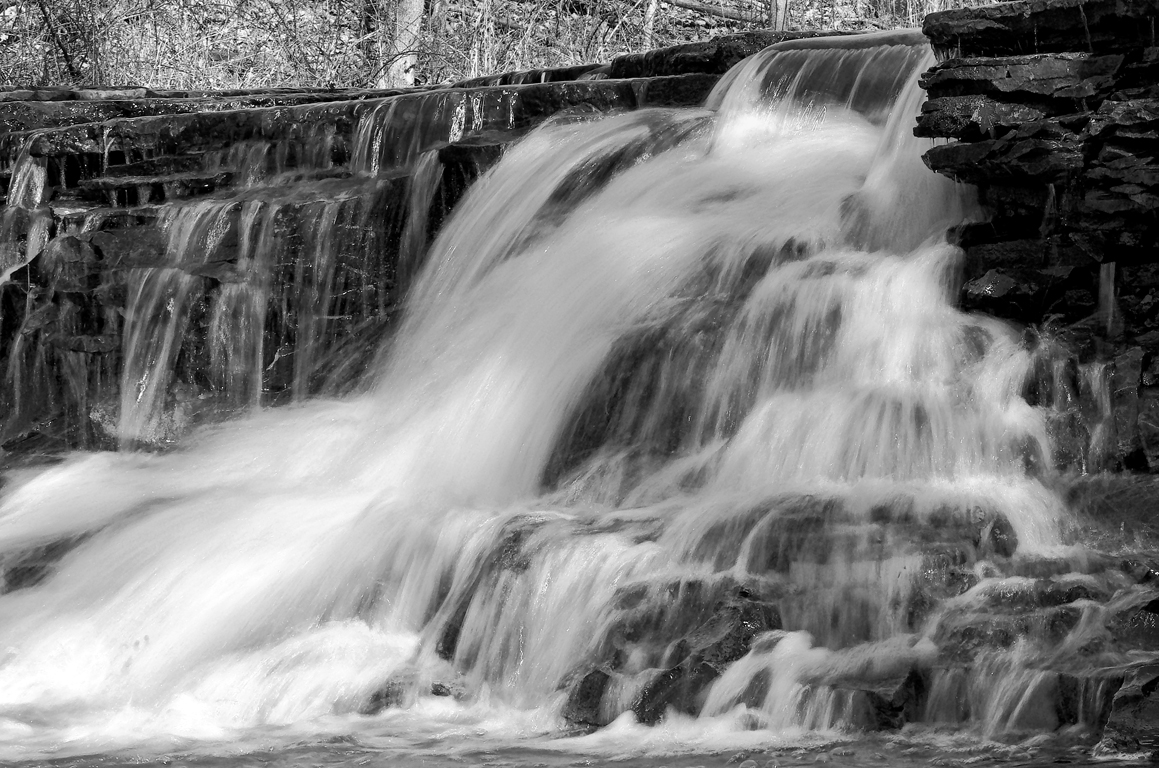
Behind the Ice
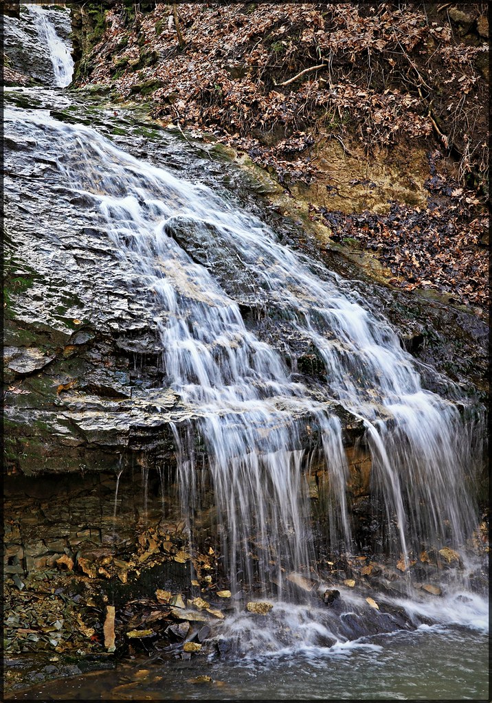
October Waterfall Up Close
Topographic Map of S Wabash St, Wabash, IN, USA
Find elevation by address:

Places near S Wabash St, Wabash, IN, USA:
Wabash
Wabash County
Noble Township
22 Speicher Rd, Wabash, IN, USA
80 N Bridge St, Wabash, IN, USA
18 IN-13, Urbana, IN, USA
Urbana
Paw Paw Township
N E, Roann, IN, USA
N E, Denver, IN, USA
Richland Township
E Chili Cemetery Rd, Denver, IN, USA
Perry Township
E N, Peru, IN, USA
Denver
48 W Harrison St, Denver, IN, USA
Jefferson Township
Mexico
N Mexico Rd, Mexico, IN, USA
Recent Searches:
- Elevation of Jadagoniai, Kaunas District Municipality, Lithuania
- Elevation of Pagonija rock, Kranto 7-oji g. 8"N, Kaunas, Lithuania
- Elevation of Co Rd 87, Jamestown, CO, USA
- Elevation of Tenjo, Cundinamarca, Colombia
- Elevation of Côte-des-Neiges, Montreal, QC H4A 3J6, Canada
- Elevation of Bobcat Dr, Helena, MT, USA
- Elevation of Zu den Ihlowbergen, Althüttendorf, Germany
- Elevation of Badaber, Peshawar, Khyber Pakhtunkhwa, Pakistan
- Elevation of SE Heron Loop, Lincoln City, OR, USA
- Elevation of Slanický ostrov, 01 Námestovo, Slovakia