Elevation of N E, Roann, IN, USA
Location: United States > Indiana > Miami County > Perry Township >
Longitude: -85.944685
Latitude: 40.915505
Elevation: 222m / 728feet
Barometric Pressure: 99KPa
Elevation Map:
Satellite Map:
Related Photos:
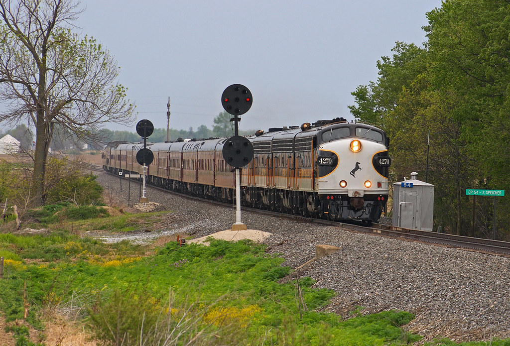
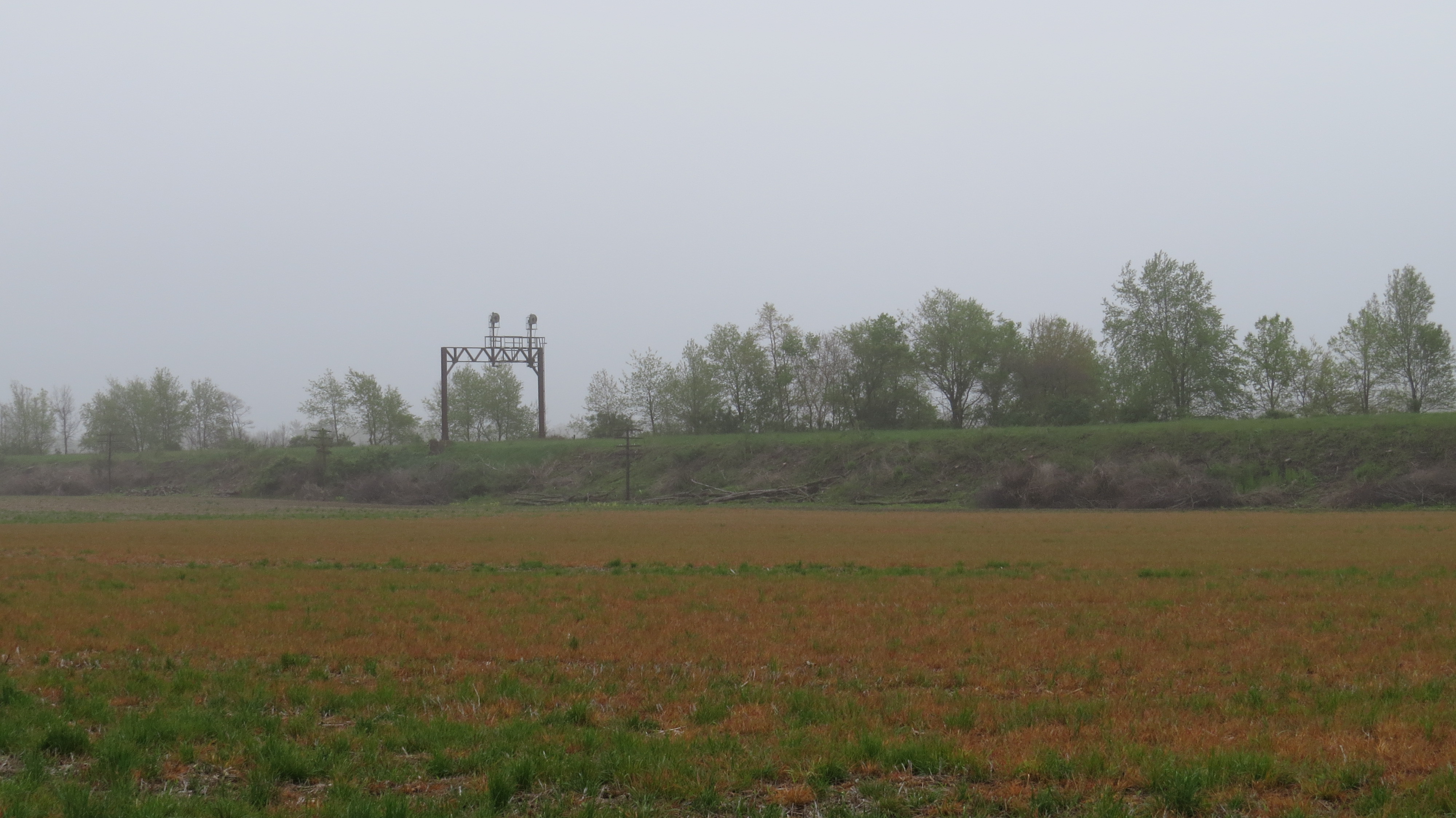
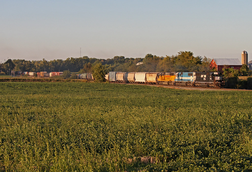
OCS - CP54 Speicherville

Barn near Wabash, IN
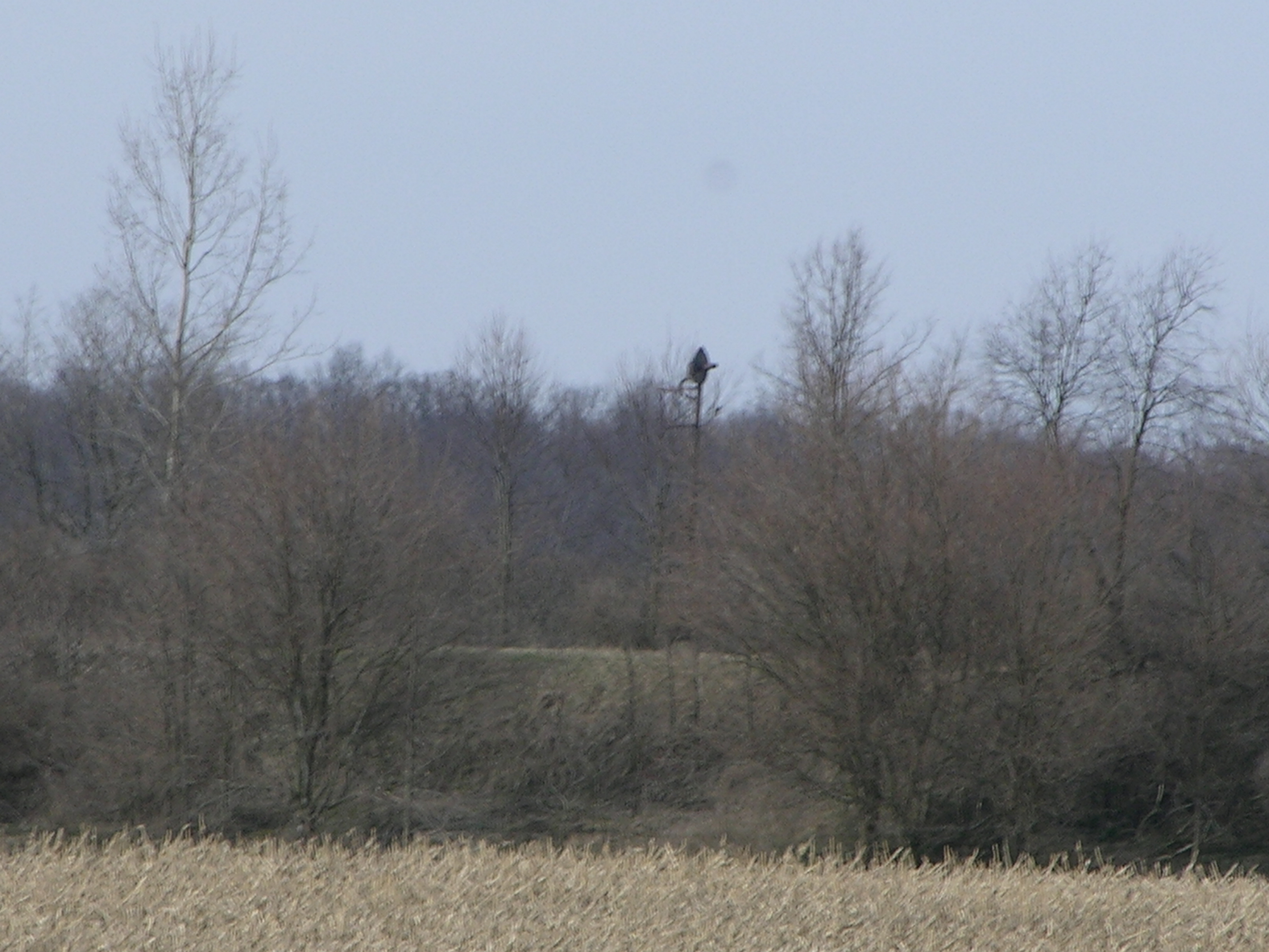
Erie Signal

Orange Skys
Picking sweet corn. Eight bags full.
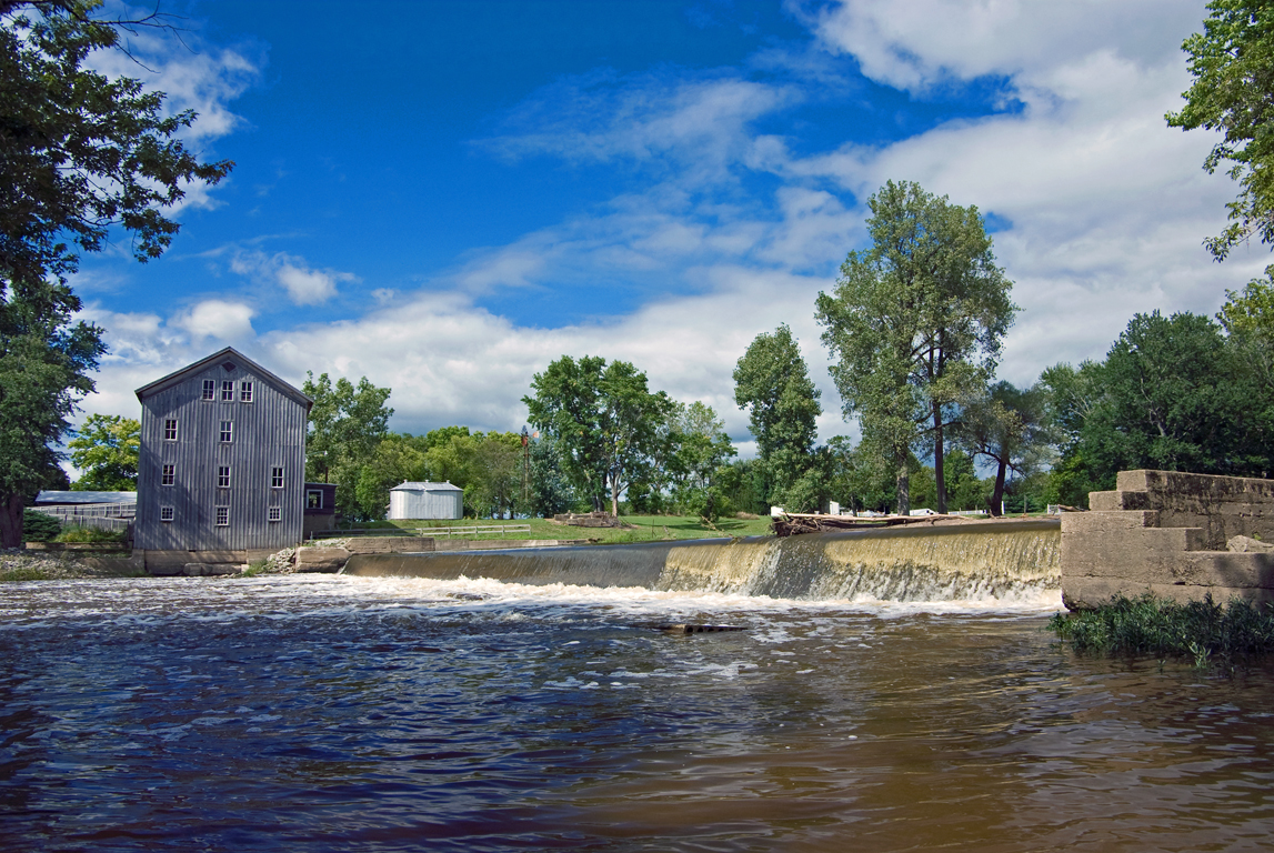
Stockdale Mill, Roann, IN.
RX Interlocking - Laketon, IN
Sweet 60's
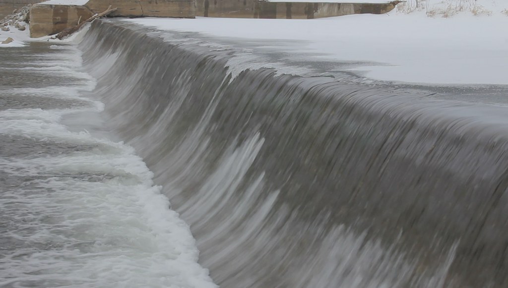
Stockdale Mill in Winter (HD video clip)

Stockdale Mill
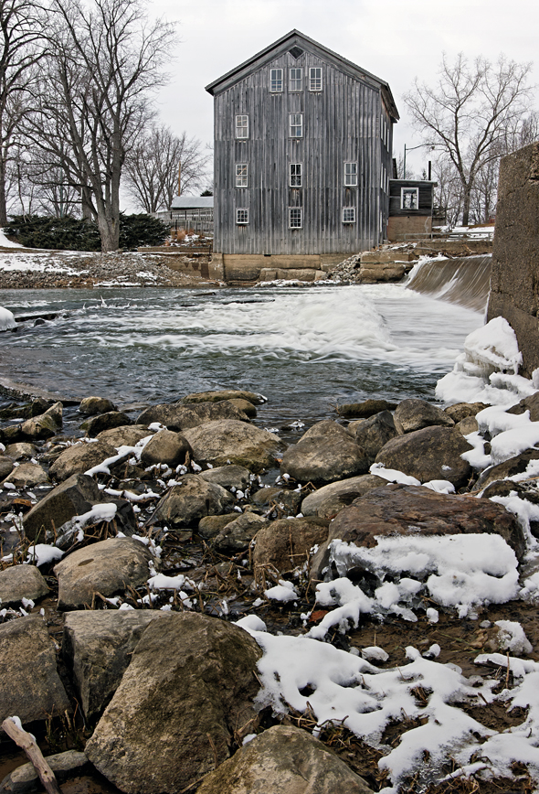
Stockdale Mill Rocky Shore
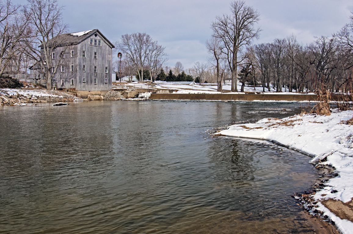
Stockdale Mill

2008.5.10 - Wedding

Good morning corn

2008.5.10 - Wedding
Topographic Map of N E, Roann, IN, USA
Find elevation by address:

Places near N E, Roann, IN, USA:
N E, Denver, IN, USA
Perry Township
Richland Township
Paw Paw Township
E Chili Cemetery Rd, Denver, IN, USA
80 N Bridge St, Wabash, IN, USA
48 W Harrison St, Denver, IN, USA
E N, Peru, IN, USA
Denver
Wabash County
Noble Township
18 IN-13, Urbana, IN, USA
Urbana
22 Speicher Rd, Wabash, IN, USA
Wabash
S Wabash St, Wabash, IN, USA
Jefferson Township
Mexico
N Mexico Rd, Mexico, IN, USA
Recent Searches:
- Elevation of Co Rd 87, Jamestown, CO, USA
- Elevation of Tenjo, Cundinamarca, Colombia
- Elevation of Côte-des-Neiges, Montreal, QC H4A 3J6, Canada
- Elevation of Bobcat Dr, Helena, MT, USA
- Elevation of Zu den Ihlowbergen, Althüttendorf, Germany
- Elevation of Badaber, Peshawar, Khyber Pakhtunkhwa, Pakistan
- Elevation of SE Heron Loop, Lincoln City, OR, USA
- Elevation of Slanický ostrov, 01 Námestovo, Slovakia
- Elevation of Spaceport America, Co Rd A, Truth or Consequences, NM, USA
- Elevation of Warwick, RI, USA