Elevation of Perry Township, IN, USA
Location: United States > Indiana > Miami County >
Longitude: -85.991743
Latitude: 40.949764
Elevation: 251m / 823feet
Barometric Pressure: 98KPa
Elevation Map:
Satellite Map:
Related Photos:
Random stuff
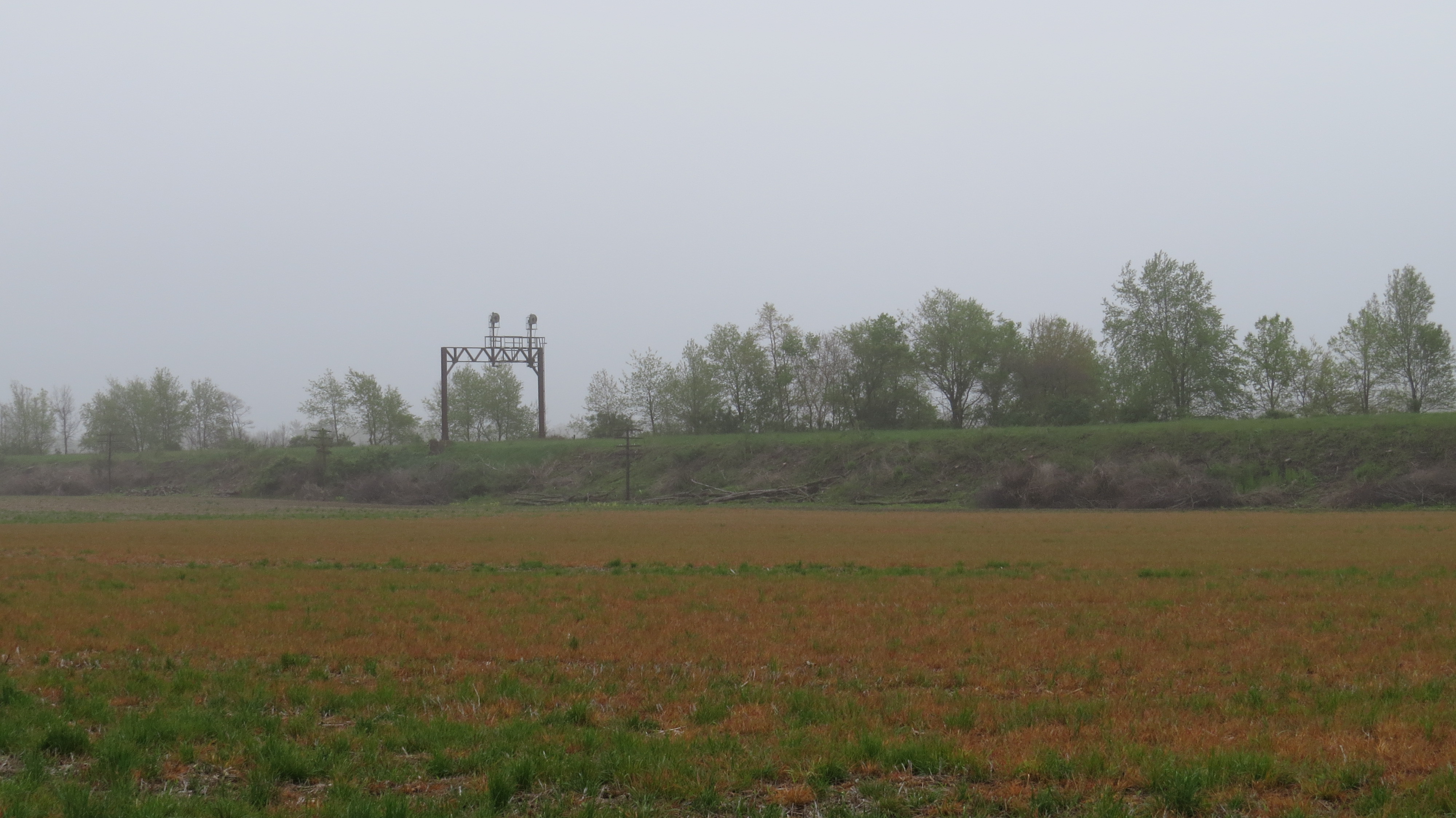
Erie Signal
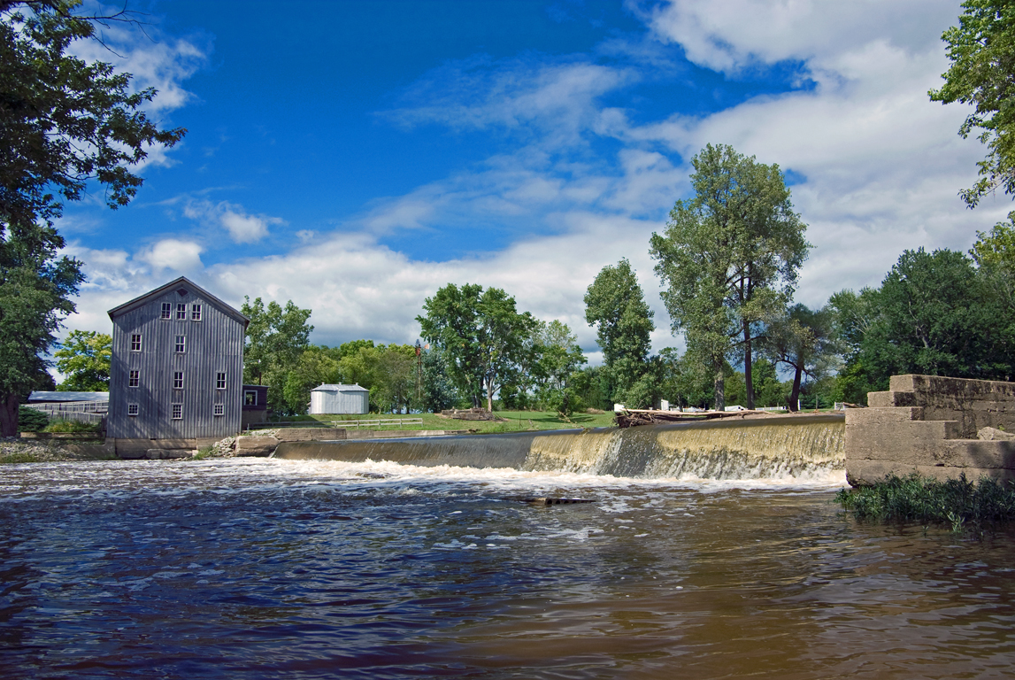
Stockdale Mill, Roann, IN.
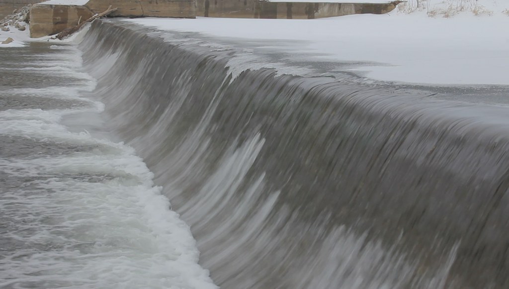
Stockdale Mill in Winter (HD video clip)

Stockdale Mill
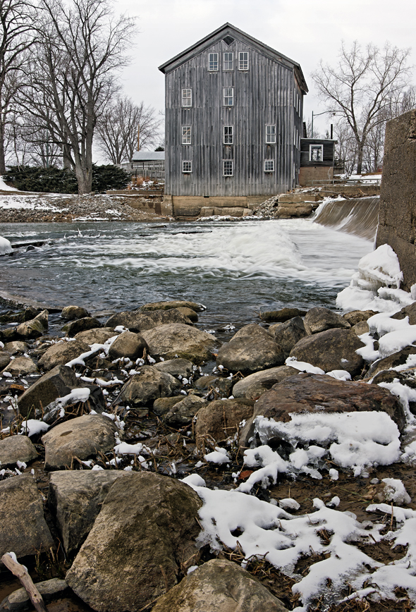
Stockdale Mill Rocky Shore
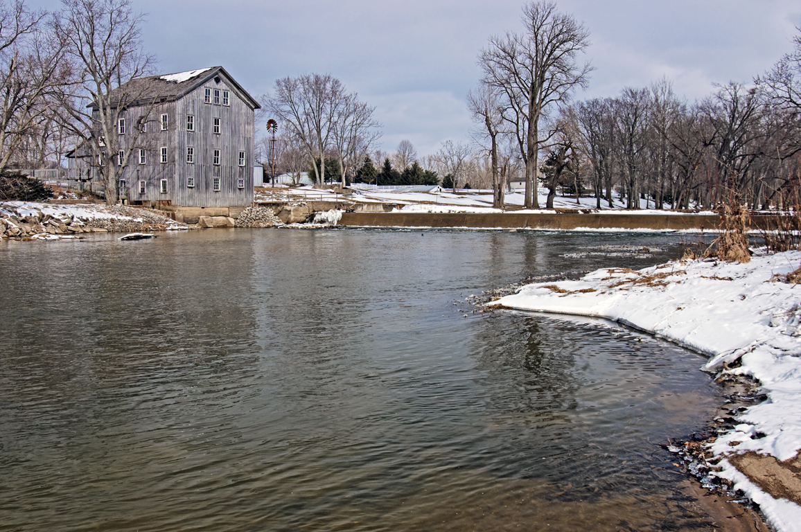
Stockdale Mill
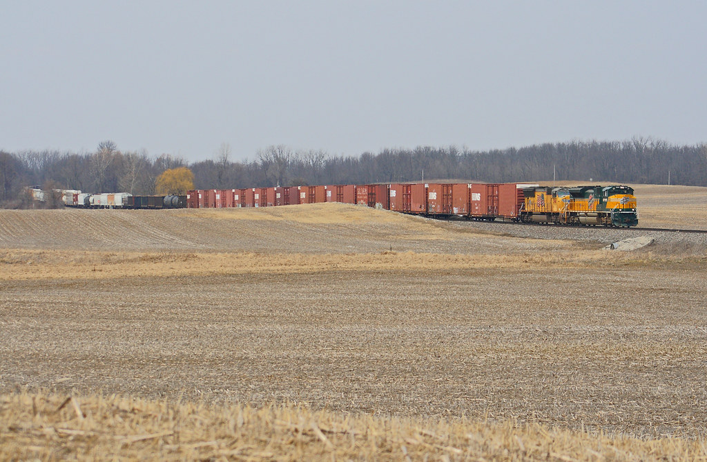
RX Interlocking - Laketon, IN
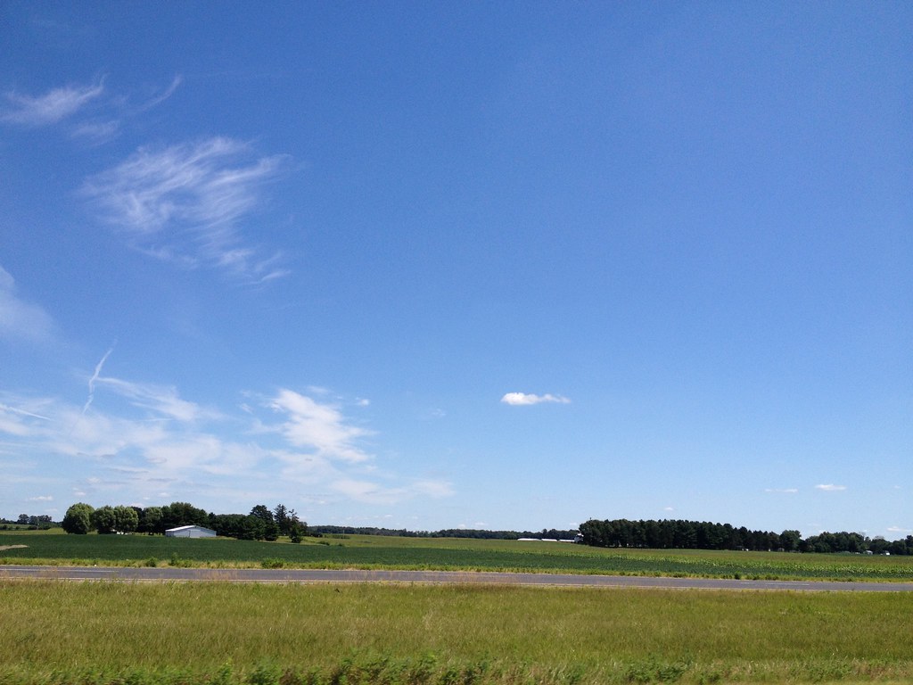
Hill & Dale
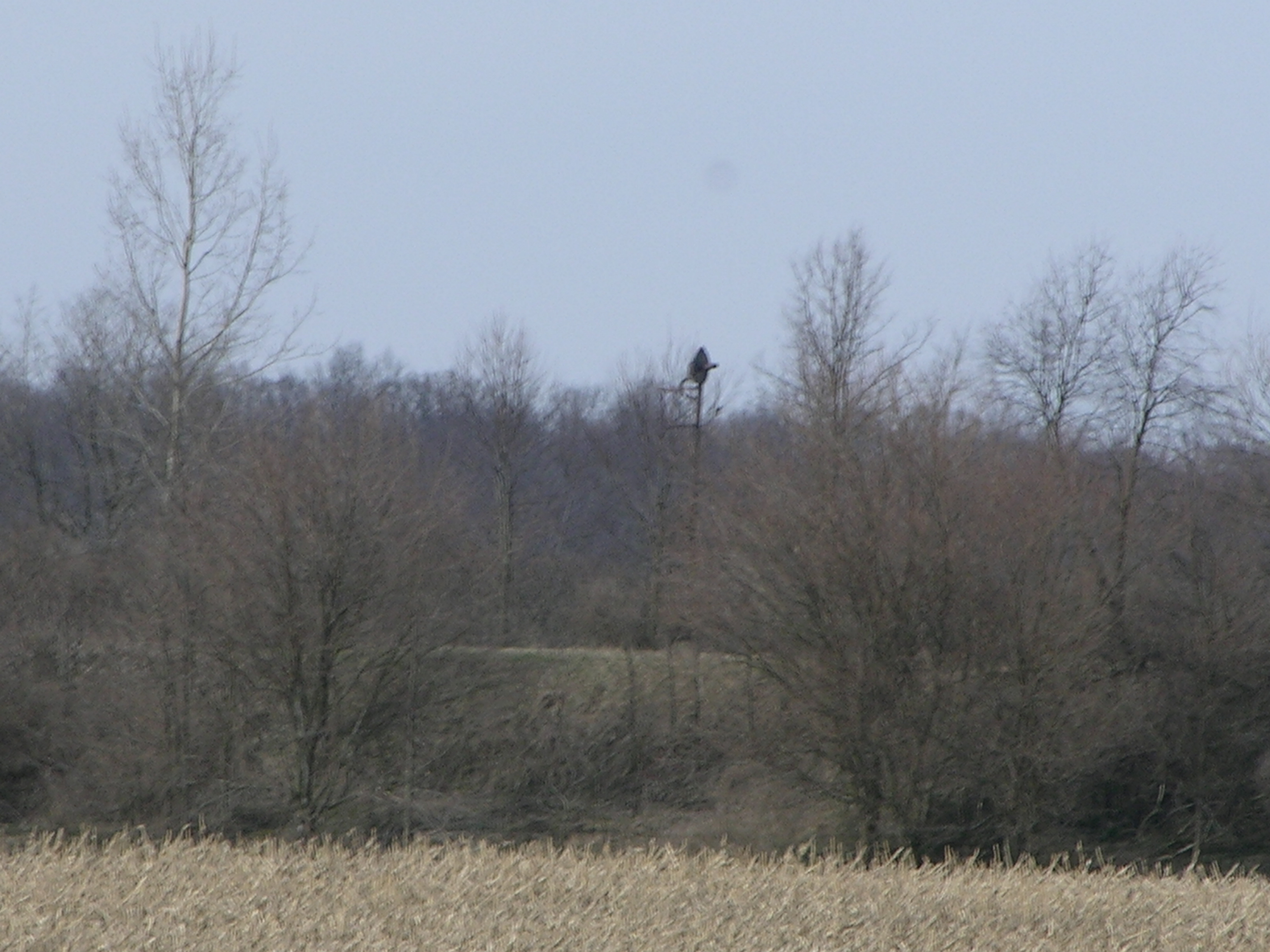
By this point I was starting to feel like an extra on the Telletubbies set
Topographic Map of Perry Township, IN, USA
Find elevation by address:

Places in Perry Township, IN, USA:
Places near Perry Township, IN, USA:
N E, Roann, IN, USA
N E, Denver, IN, USA
Richland Township
E Chili Cemetery Rd, Denver, IN, USA
48 W Harrison St, Denver, IN, USA
Denver
Paw Paw Township
E N, Peru, IN, USA
Jefferson Township
Mexico
N Mexico Rd, Mexico, IN, USA
80 N Bridge St, Wabash, IN, USA
Wabash County
18 IN-13, Urbana, IN, USA
Urbana
Noble Township
22 Speicher Rd, Wabash, IN, USA
Wabash
S Wabash St, Wabash, IN, USA
Recent Searches:
- Elevation of Jadagoniai, Kaunas District Municipality, Lithuania
- Elevation of Pagonija rock, Kranto 7-oji g. 8"N, Kaunas, Lithuania
- Elevation of Co Rd 87, Jamestown, CO, USA
- Elevation of Tenjo, Cundinamarca, Colombia
- Elevation of Côte-des-Neiges, Montreal, QC H4A 3J6, Canada
- Elevation of Bobcat Dr, Helena, MT, USA
- Elevation of Zu den Ihlowbergen, Althüttendorf, Germany
- Elevation of Badaber, Peshawar, Khyber Pakhtunkhwa, Pakistan
- Elevation of SE Heron Loop, Lincoln City, OR, USA
- Elevation of Slanický ostrov, 01 Námestovo, Slovakia