Elevation of S River Rd, Dennysville, ME, USA
Location: United States > Maine > Washington County > East Central Washington >
Longitude: -67.193794
Latitude: 44.8813987
Elevation: 23m / 75feet
Barometric Pressure: 101KPa
Elevation Map:
Satellite Map:
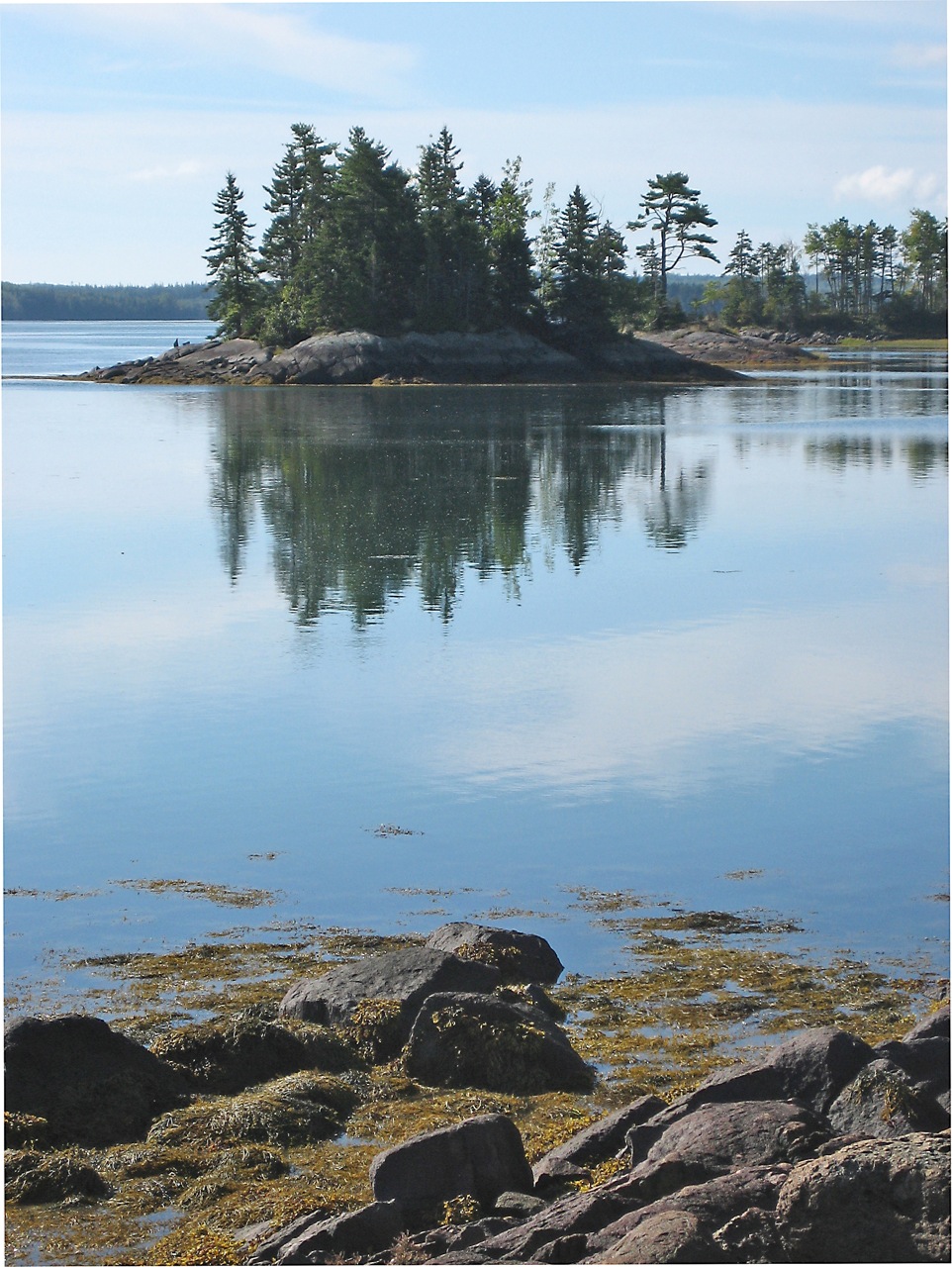
Related Photos:

Colors in Nature - Blue ~ part 2
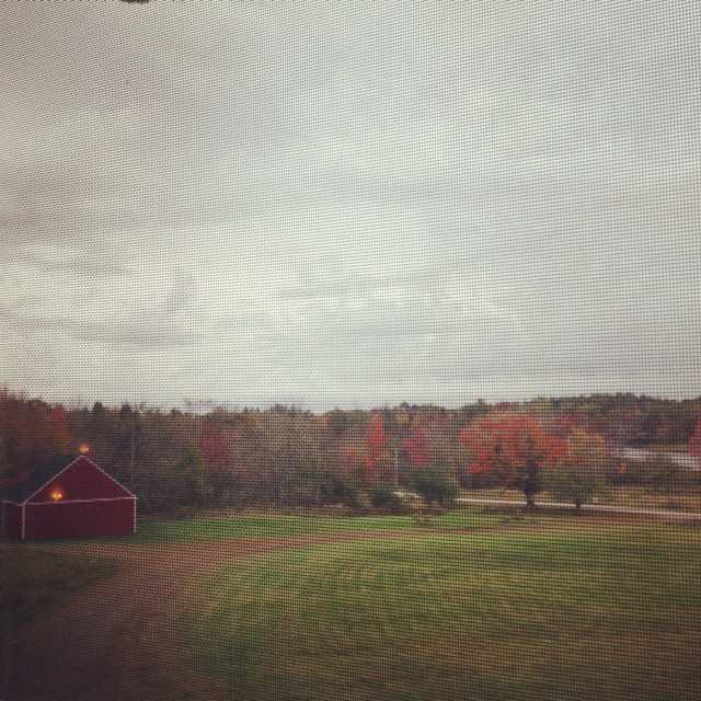
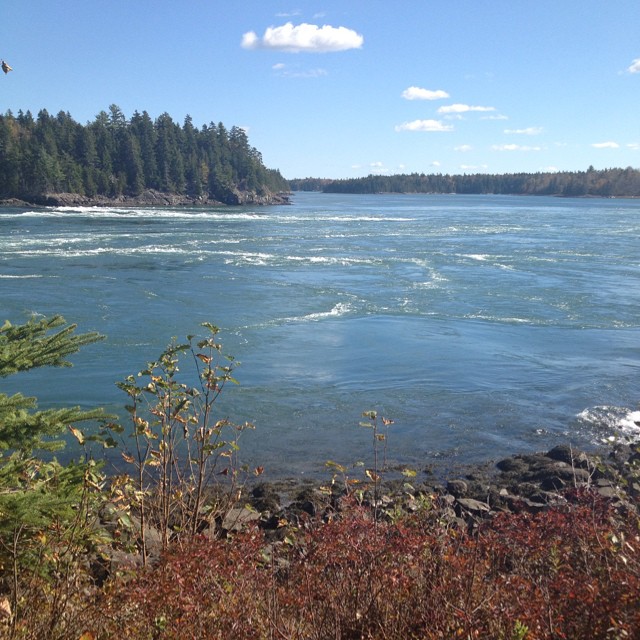
Rick and I are in Maine and this is our morning view... There's that thing called Autumn out there!!! It's beautiful!

Night View

Reversing Falls Park
Happy Christmas.

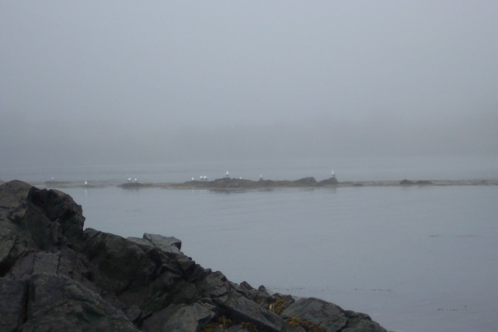
IMG_2779misty view RR
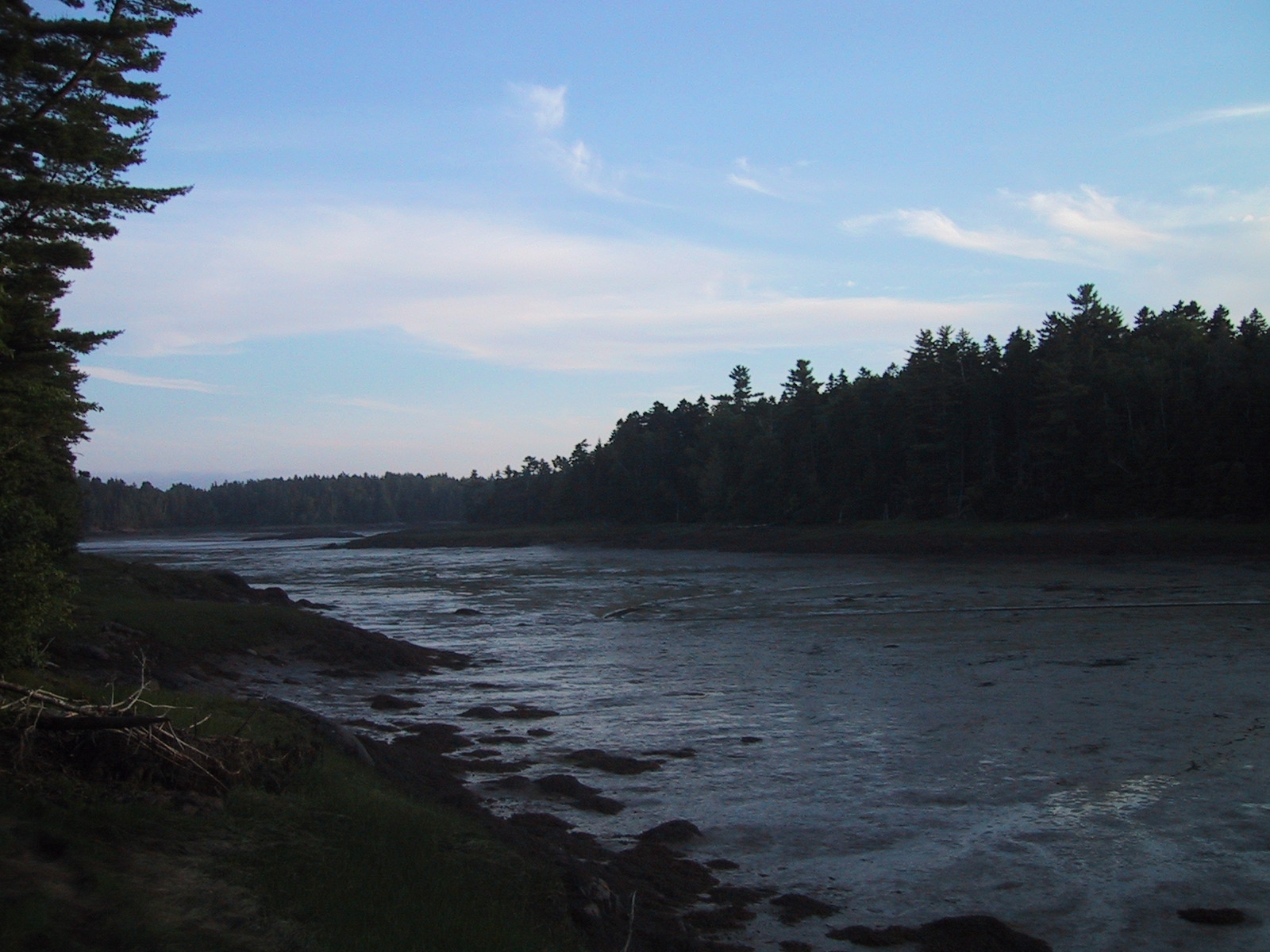
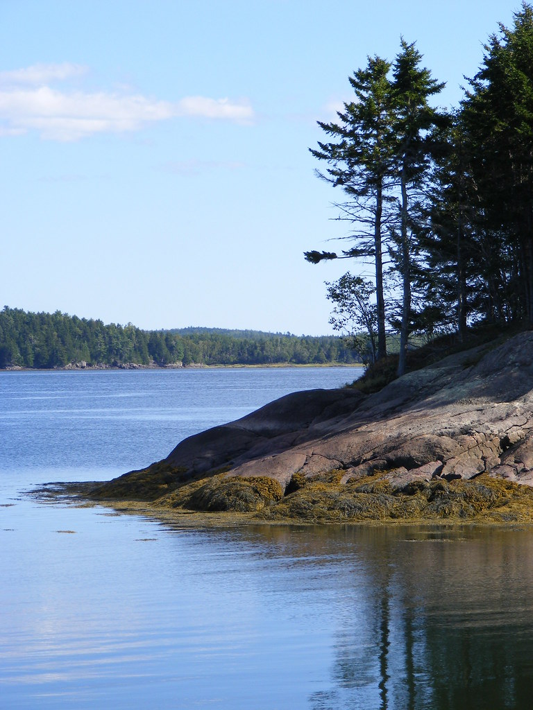
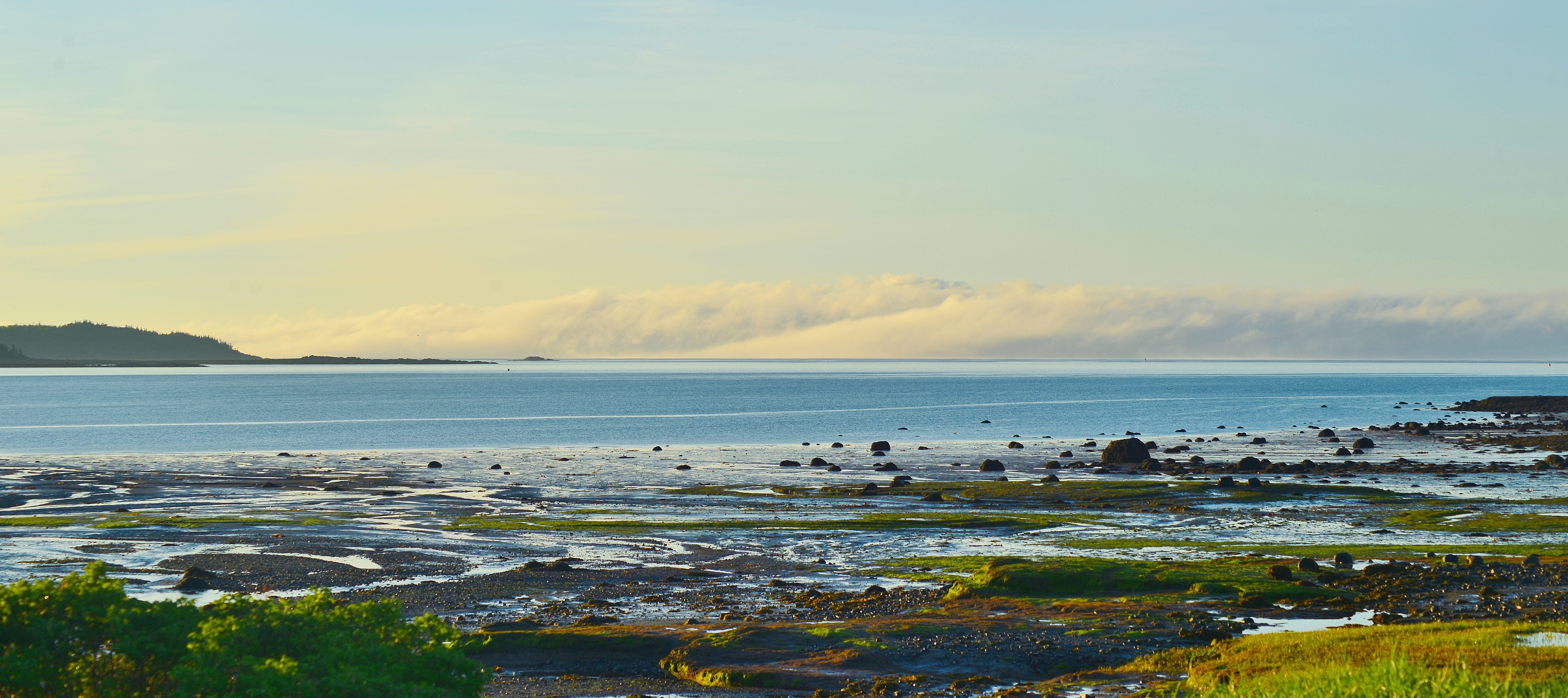
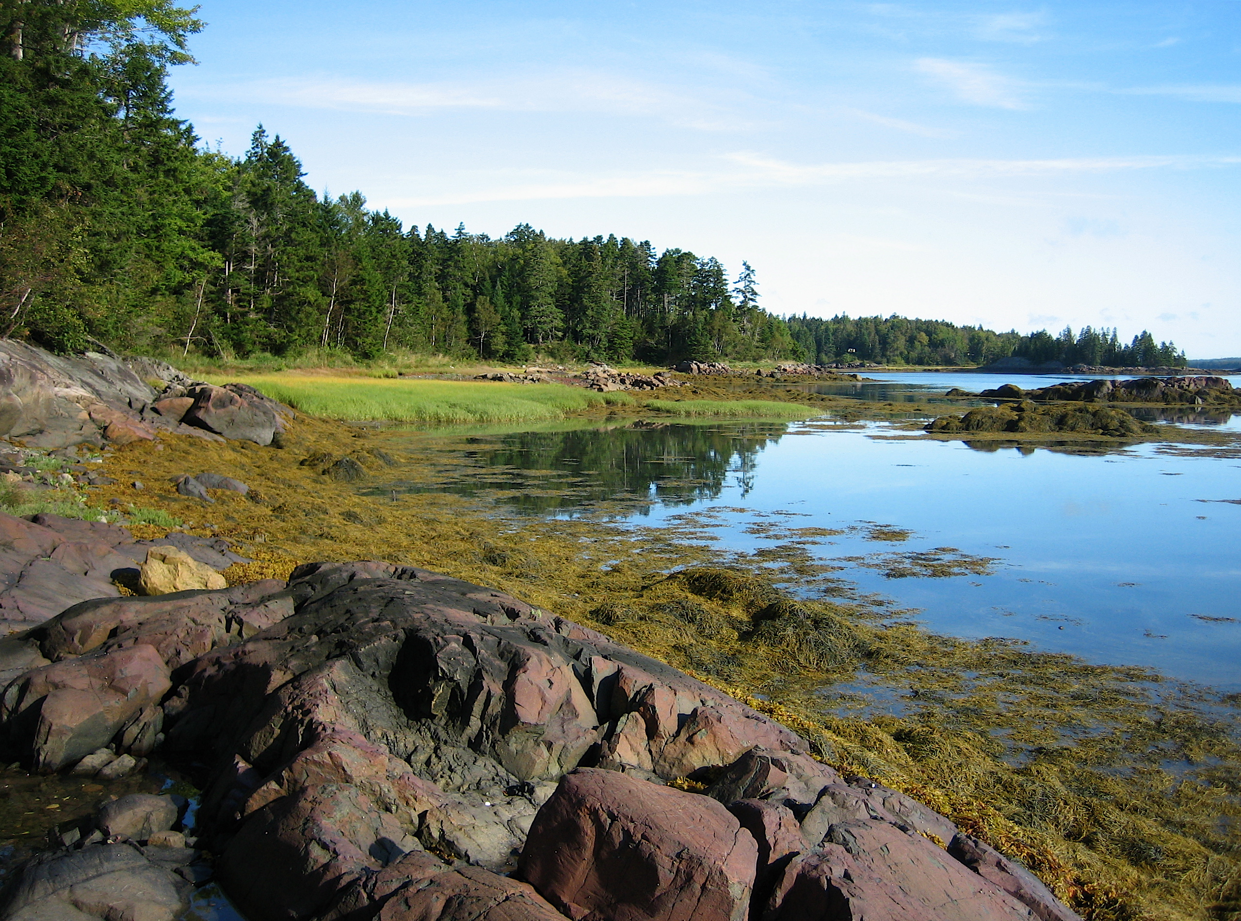
Broad Cove at low tide
Charlie's view from our cottage
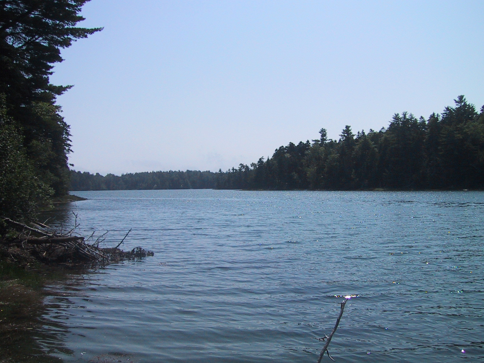
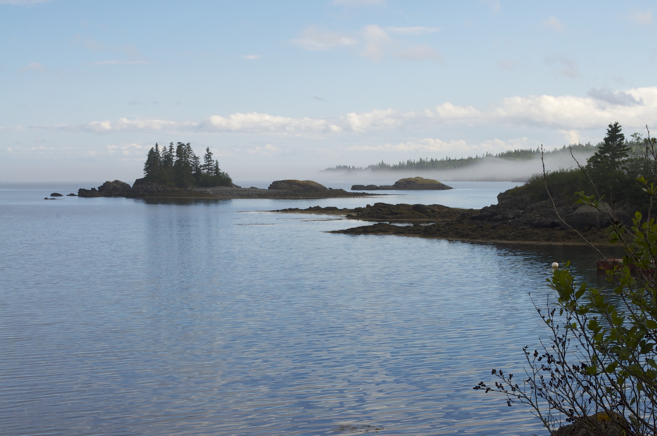
Cobscook State Park
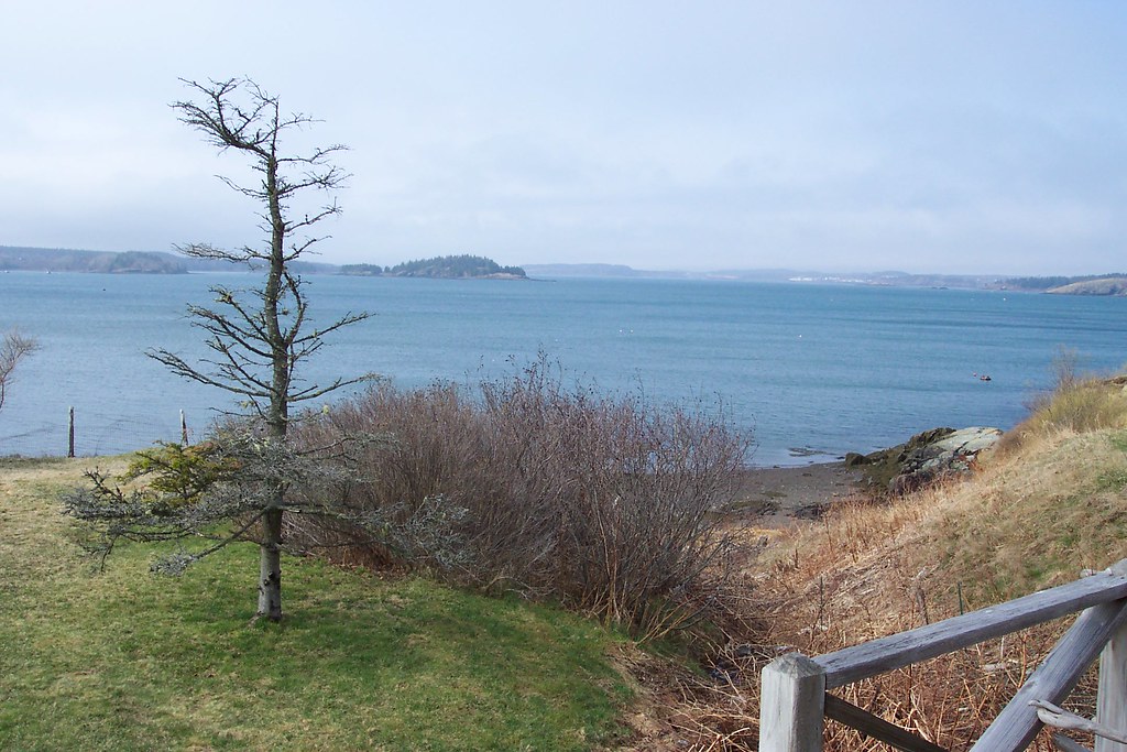
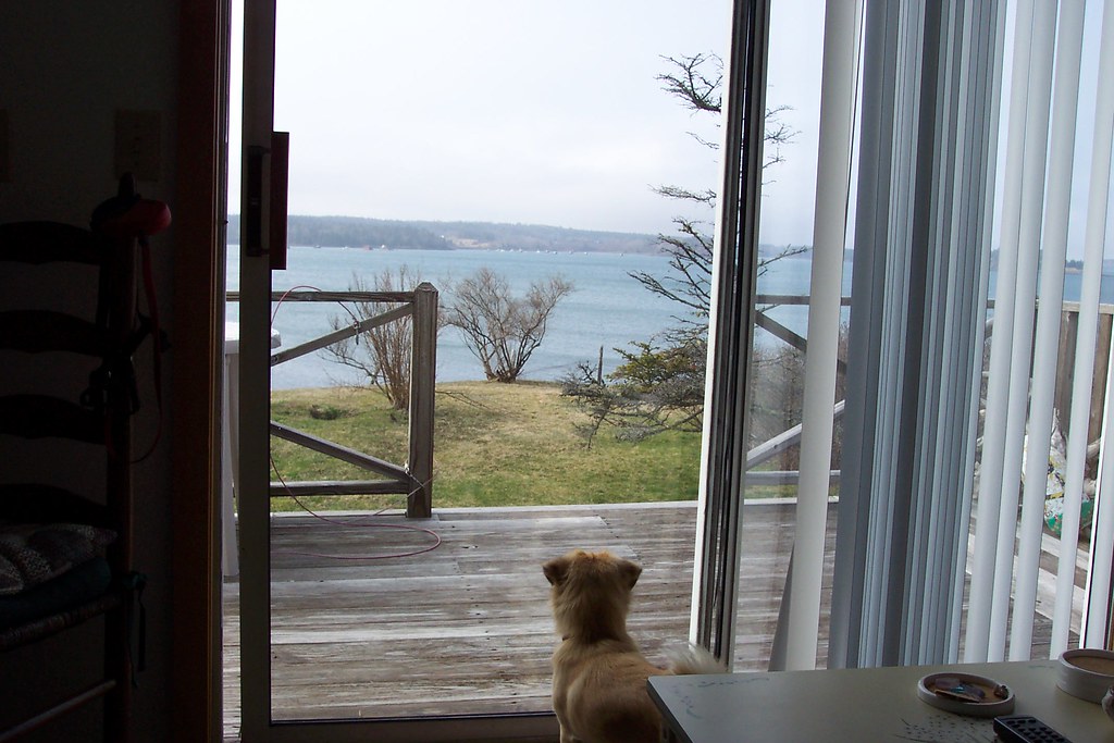
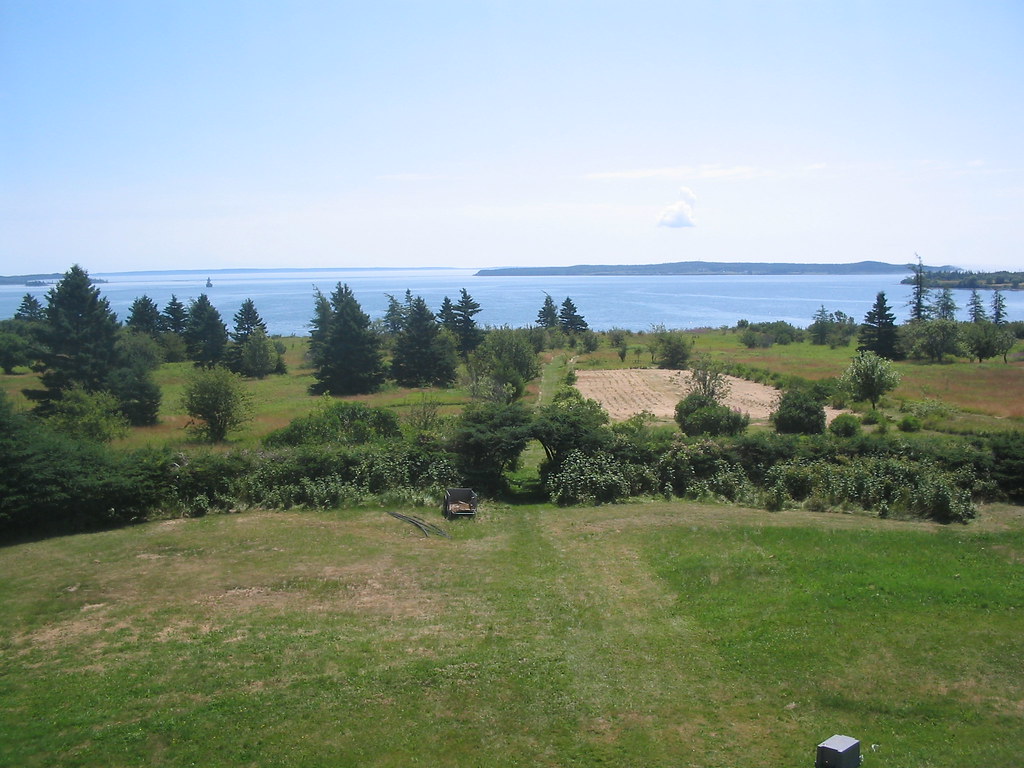
Deck view from cottage of Johnson Bay
another view from the campsite
Broad Cove at high tide
Deanna and Charlie
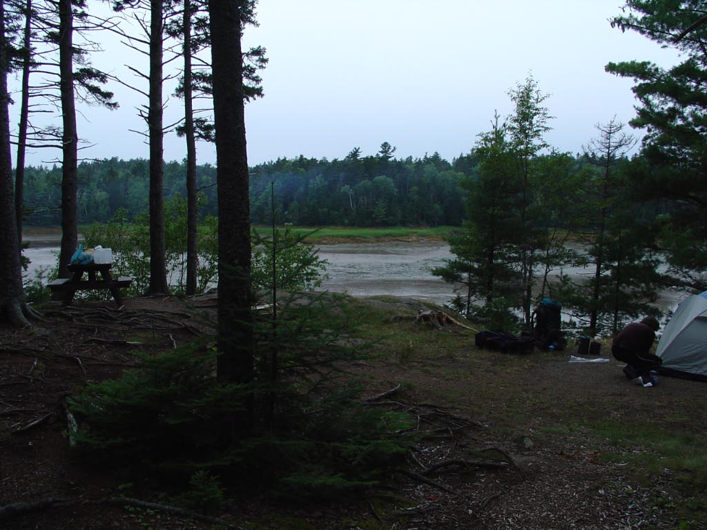
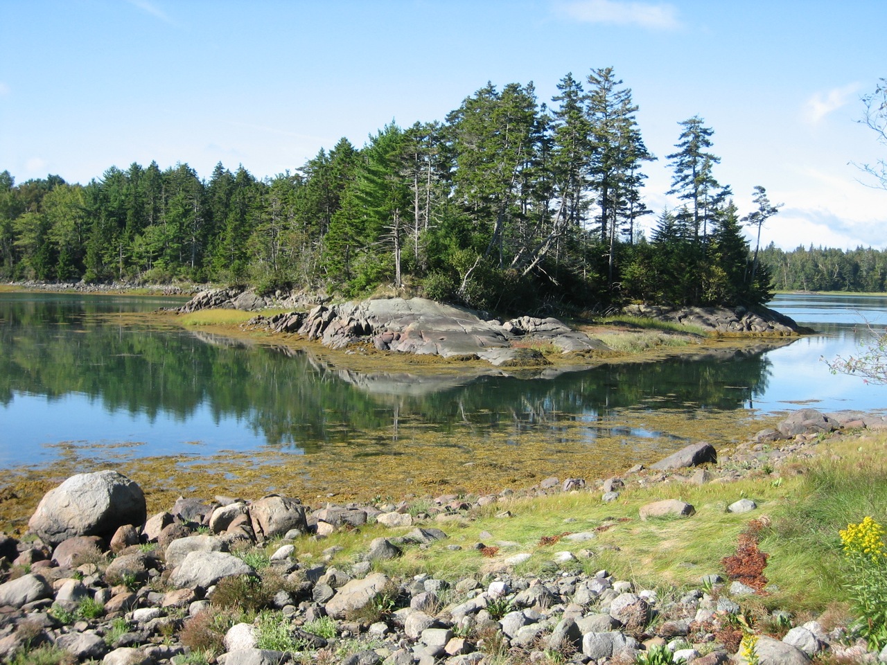
our primo campsite
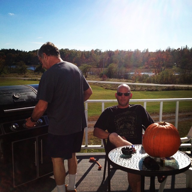
Grilling with a view!
View from Grammy's and Grampy's deck

Lubec Beach
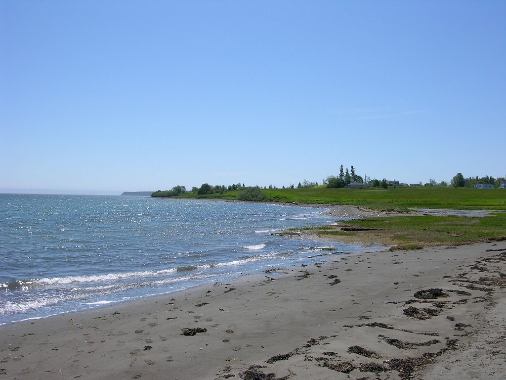
Lubec Beach South
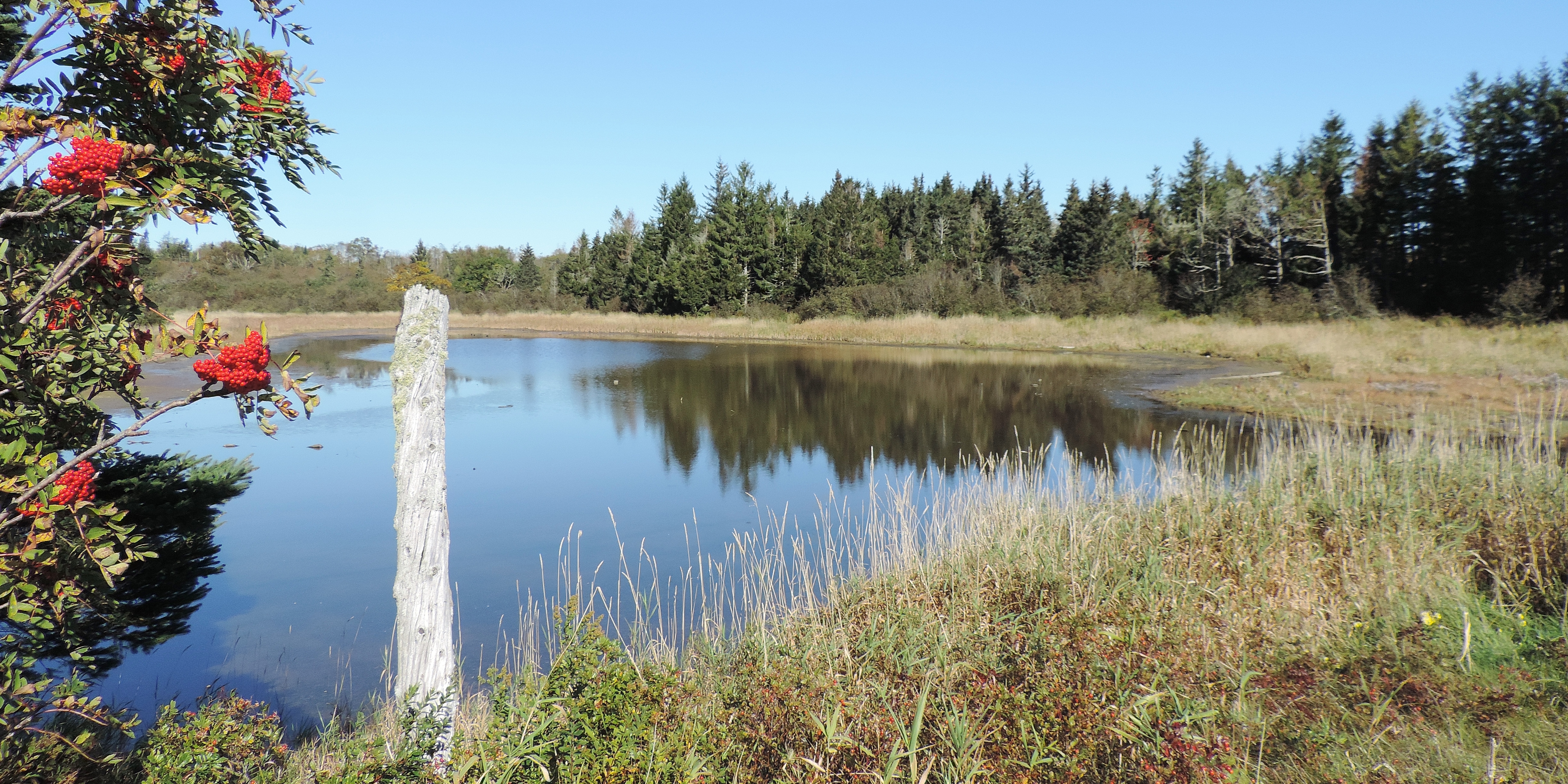
Pike's Puddle--On the left is Sorbus americana , American Mountianash

Reversing Falls Park
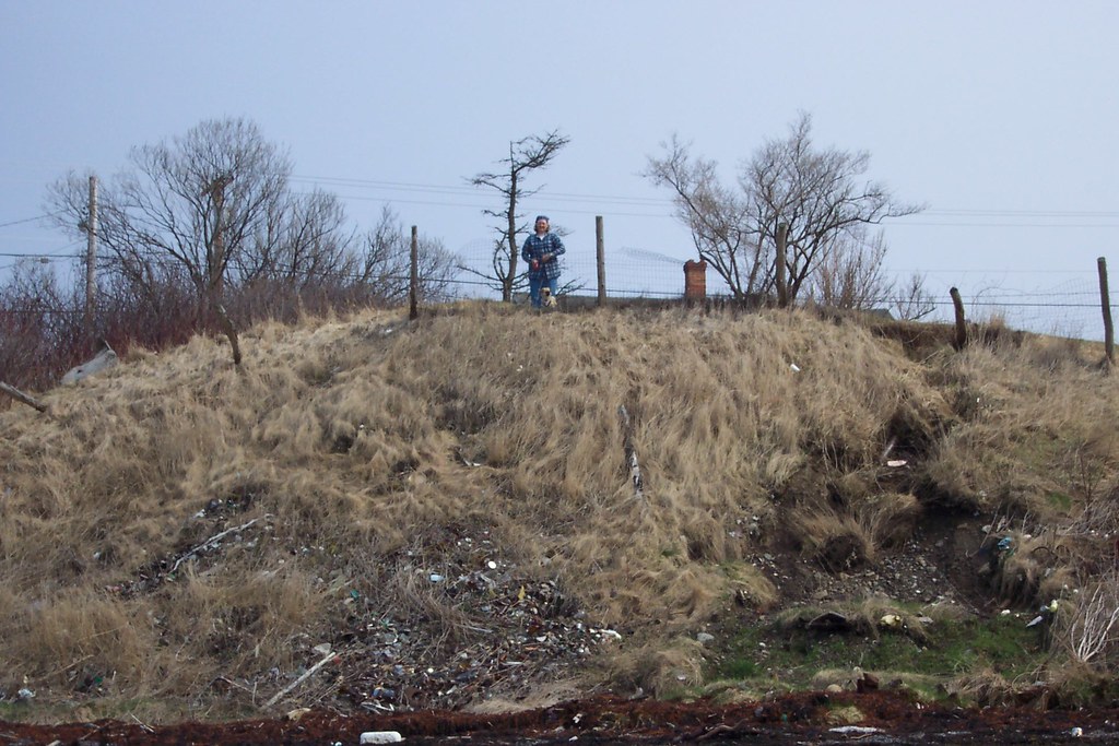
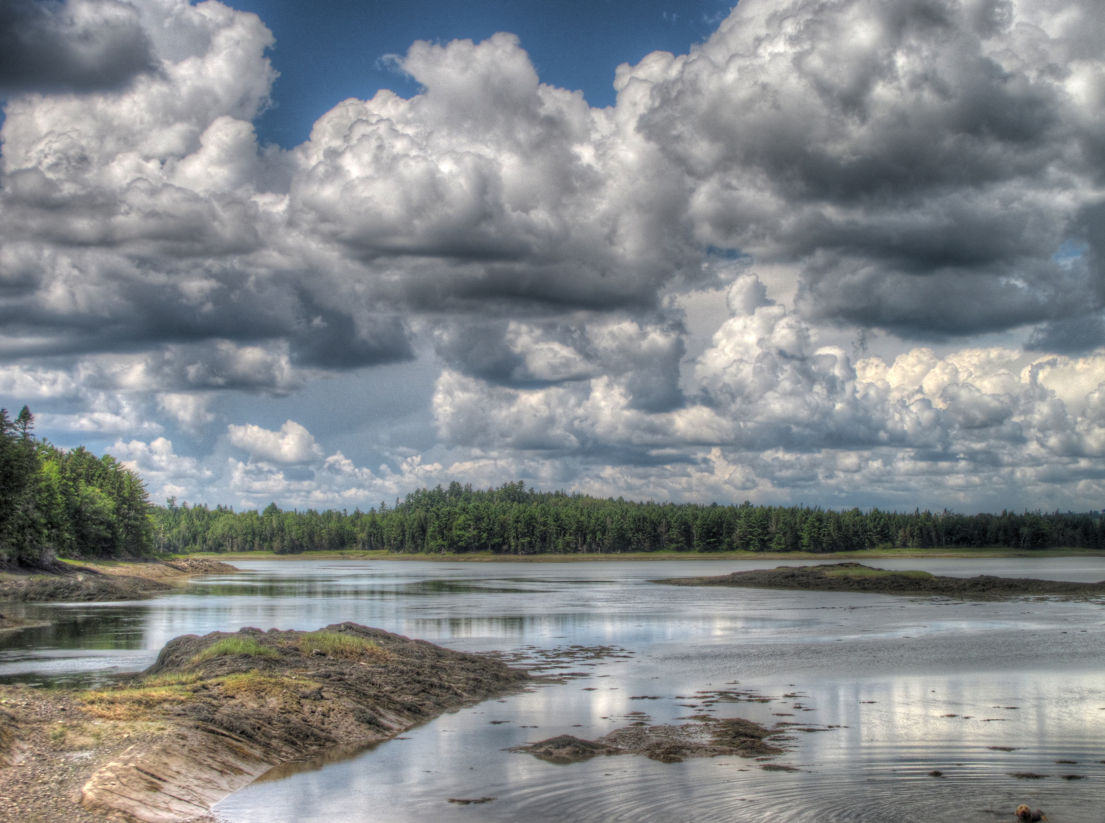
Early morning at 1/2 tide, time 06--13--33 AM AST
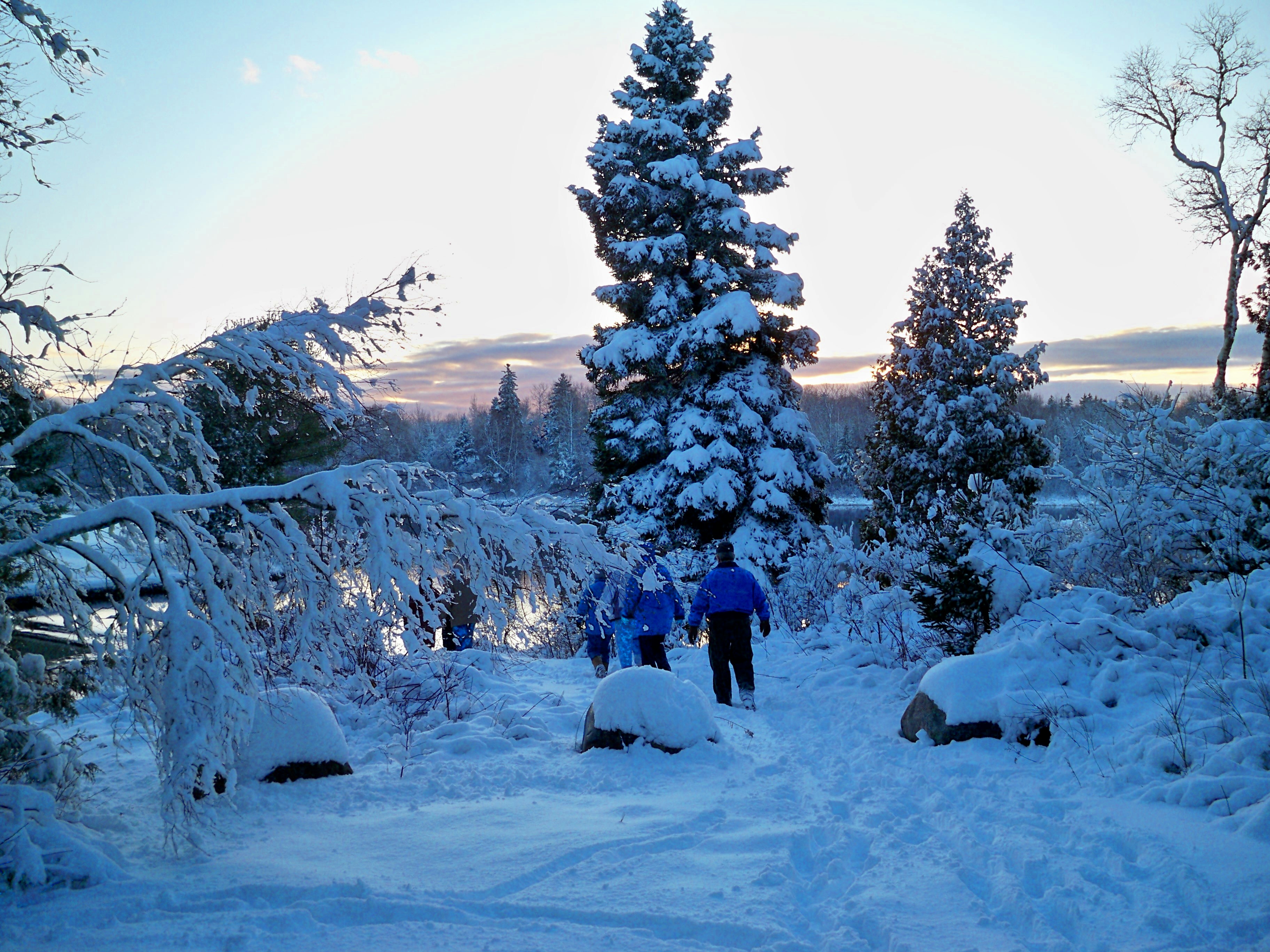
Sipp's Bay Walk August 4, 2013

Cool Blue

Eastport Glory
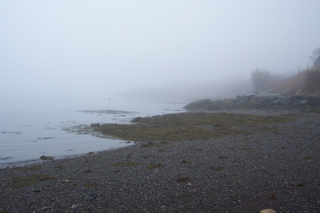
low tide
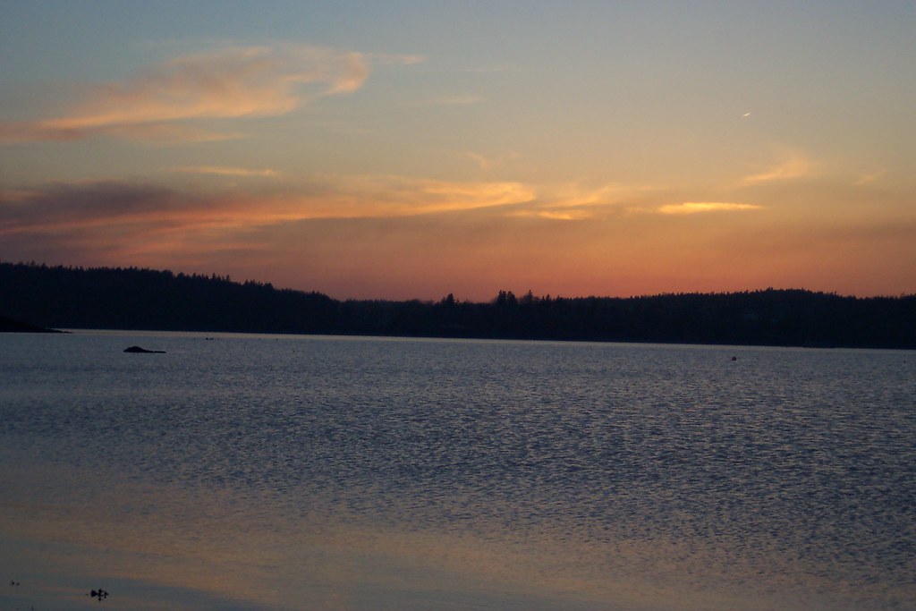
Lubec sunset

Harris Point, Sunny Day
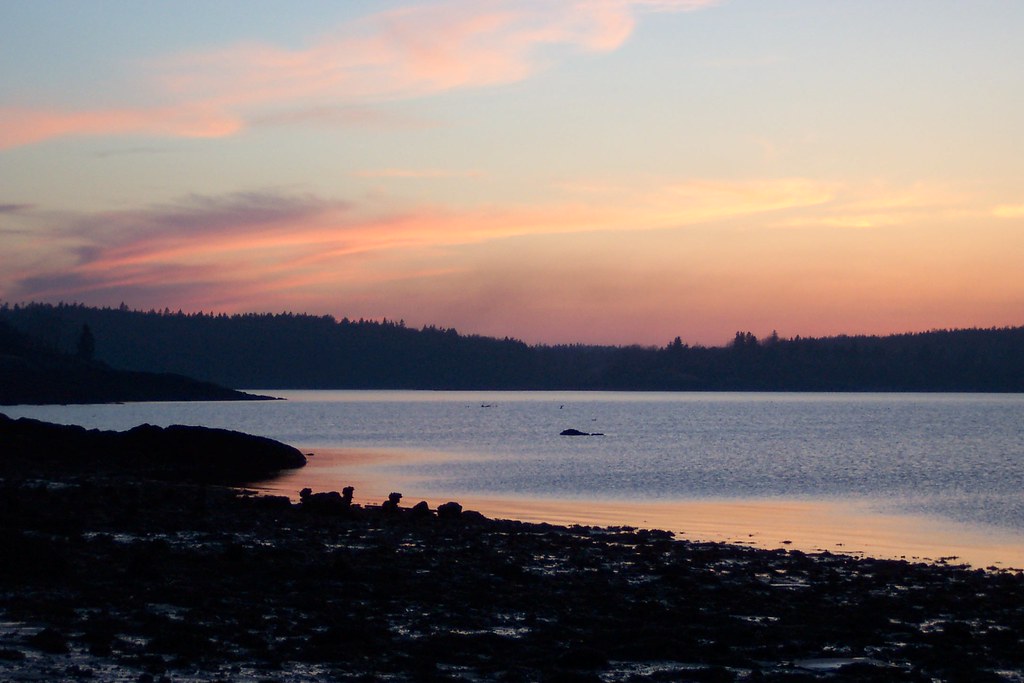
Lubec sunset

Salmon Pens
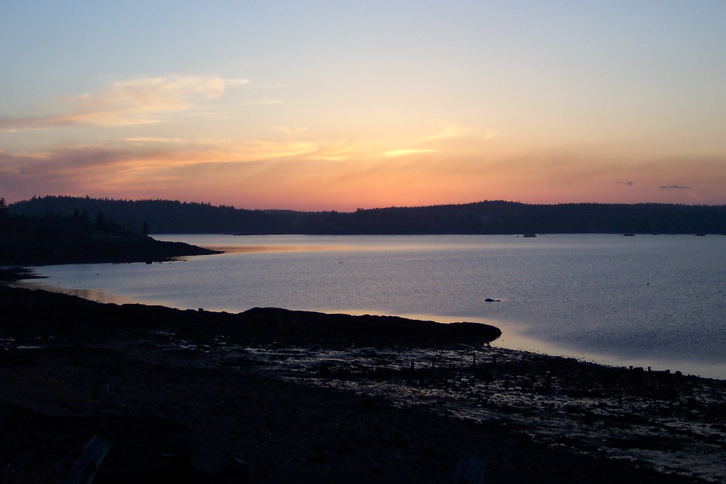
Lubec sunset
No filter for our picnic spot. Reversing Falls!!!
Lubec, Maine
lubec 2012-06-24 at 17-25-22

Reversing Falls Park
Lubec, Maine
eagle across the water
Topographic Map of S River Rd, Dennysville, ME, USA
Find elevation by address:

Places near S River Rd, Dennysville, ME, USA:
58 Hersey Ln
58 Hersey Ln
361 Old County Rd
Pembroke
S River Rd, Pembroke, ME, USA
Whiting
214 Doherty Ln
Perry
1287 Us-1
East Central Washington
Dixie Rd, Lubec, ME, USA
North Lubec Road
Pleasant Point
10 Dresner St
Wallace Cove
County Rd, Lubec, ME, USA
19 Vanasse Rd, Eastport, ME, USA
285 N Lubec Rd
Jim's Head Road
Calders Head Rd, Calders Head, NB E5V 1N2, Canada
Recent Searches:
- Elevation of Corso Fratelli Cairoli, 35, Macerata MC, Italy
- Elevation of Tallevast Rd, Sarasota, FL, USA
- Elevation of 4th St E, Sonoma, CA, USA
- Elevation of Black Hollow Rd, Pennsdale, PA, USA
- Elevation of Oakland Ave, Williamsport, PA, USA
- Elevation of Pedrógão Grande, Portugal
- Elevation of Klee Dr, Martinsburg, WV, USA
- Elevation of Via Roma, Pieranica CR, Italy
- Elevation of Tavkvetili Mountain, Georgia
- Elevation of Hartfords Bluff Cir, Mt Pleasant, SC, USA