Elevation of East Central Washington, ME, USA
Location: United States > Maine > Washington County >
Longitude: -67.352423
Latitude: 44.8784739
Elevation: 45m / 148feet
Barometric Pressure: 101KPa
Elevation Map:
Satellite Map:
Related Photos:
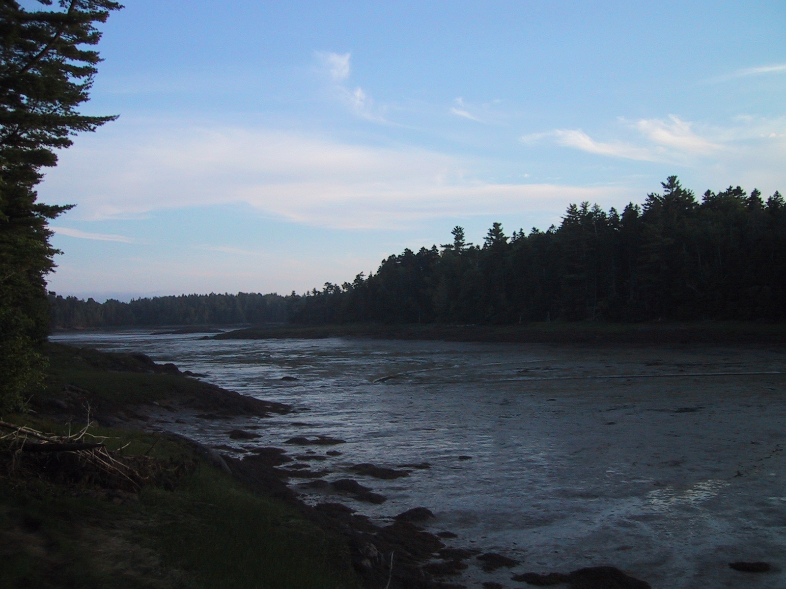
Broad Cove at low tide
Broad Cove at high tide
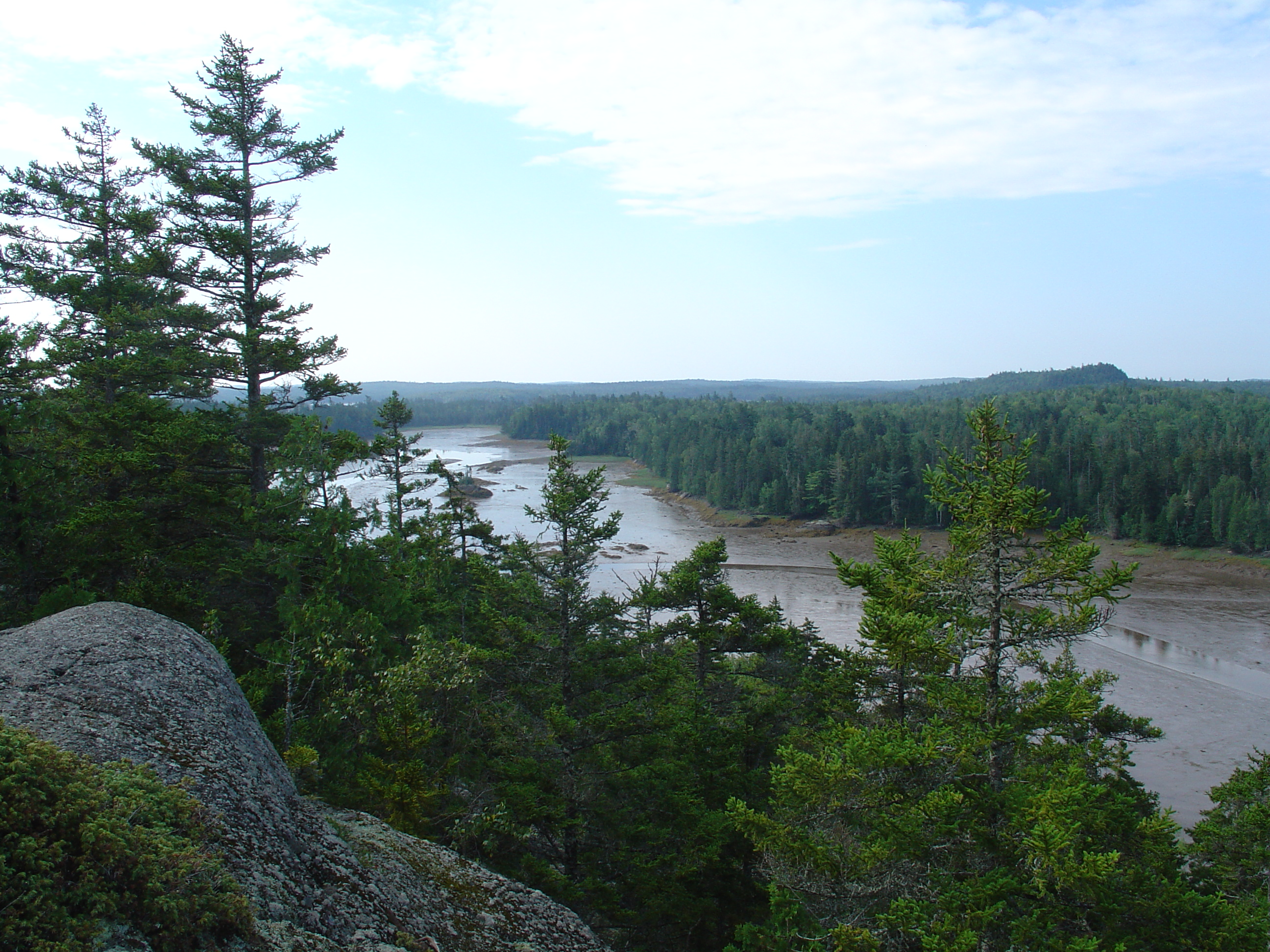
cobscook bay from hill

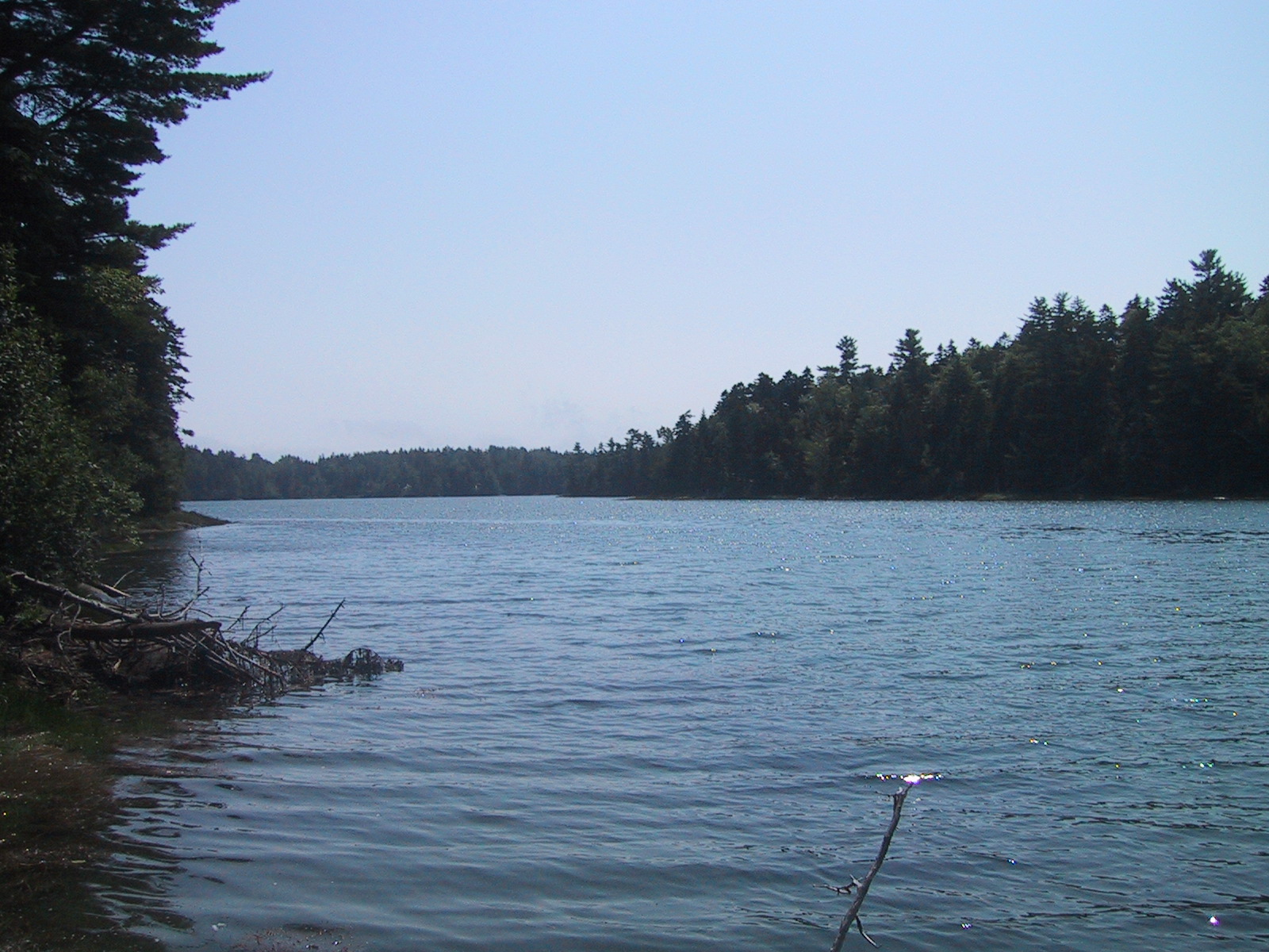
Gardner Lake
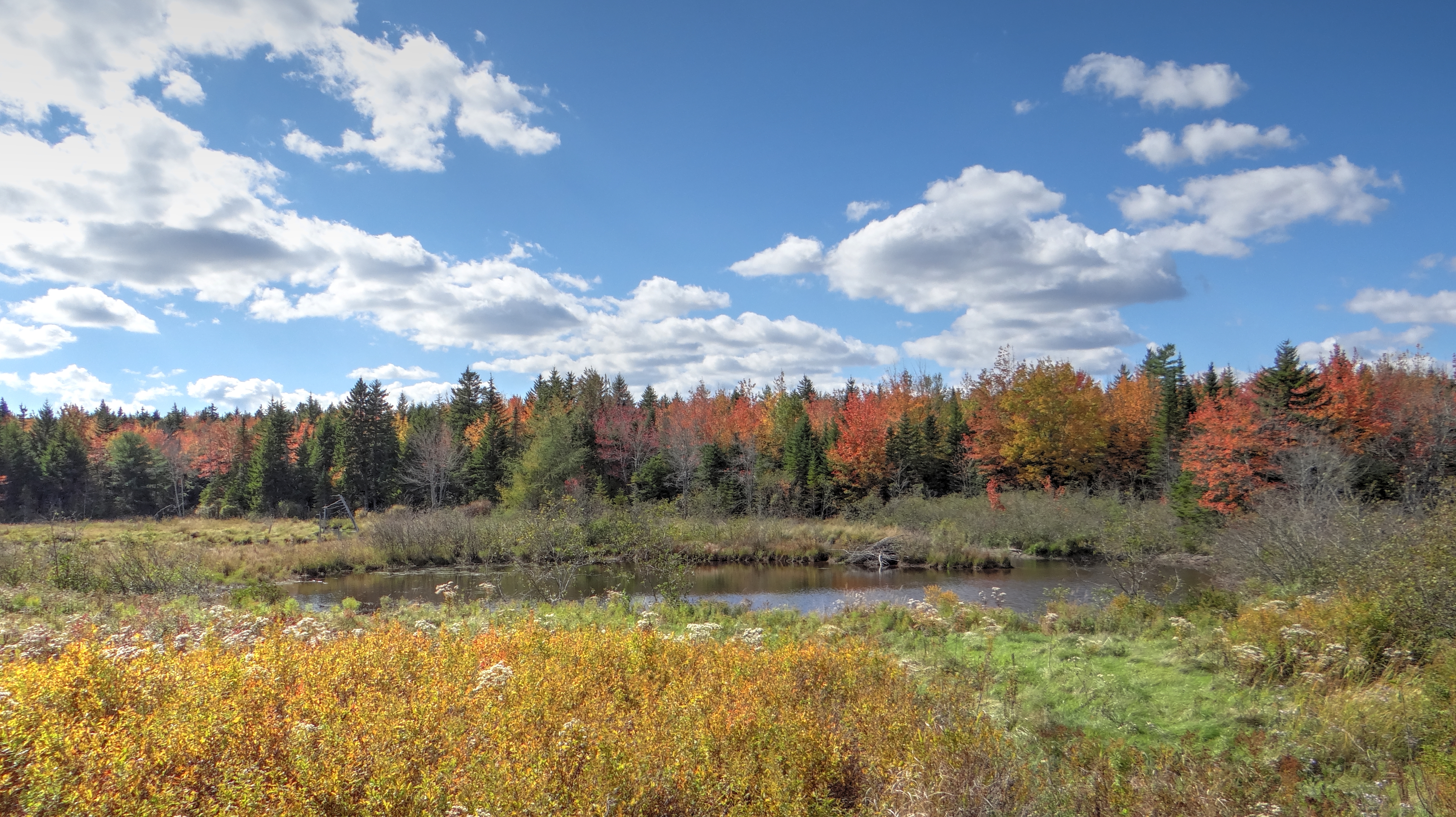
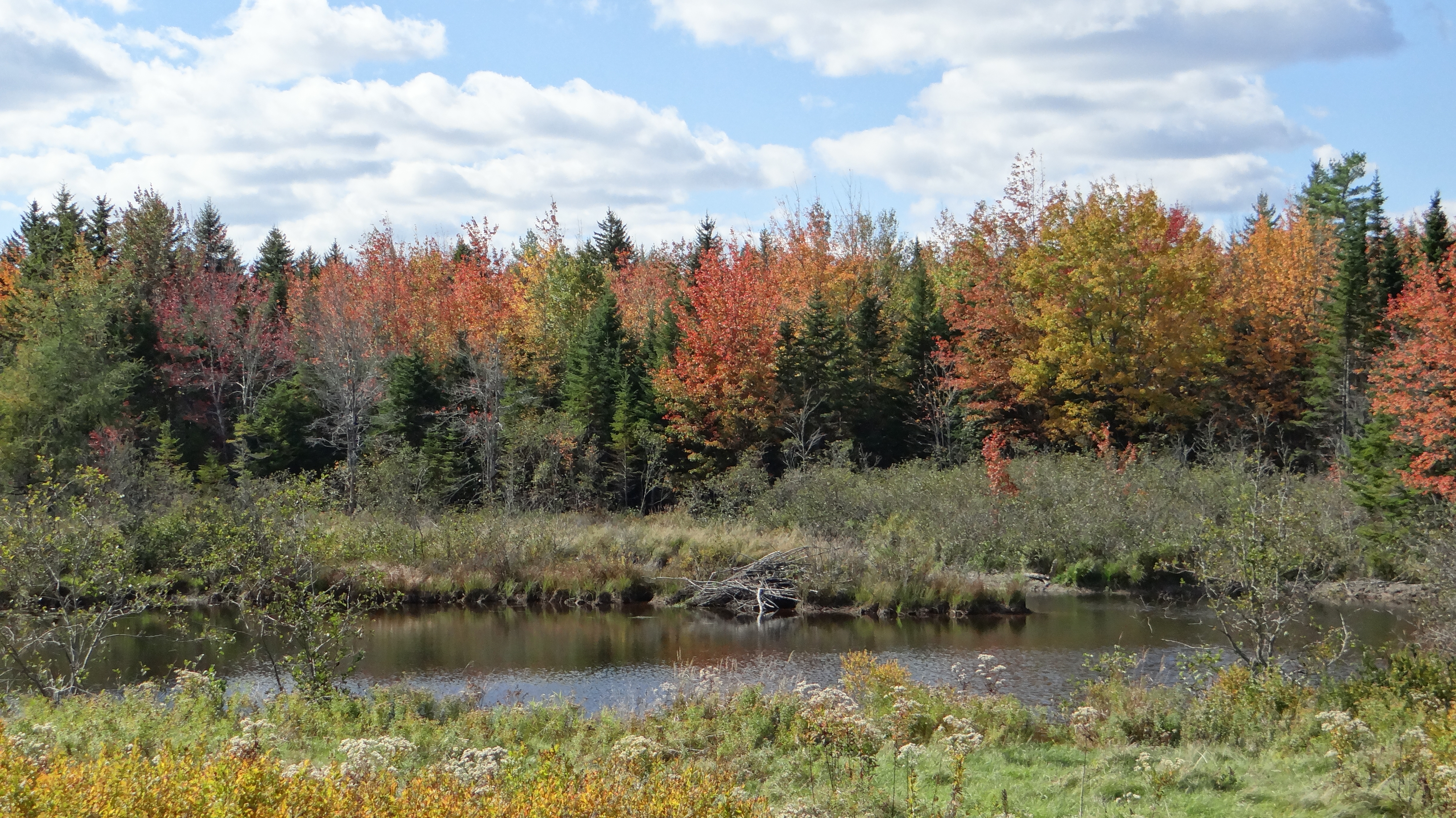
Fall in Maine
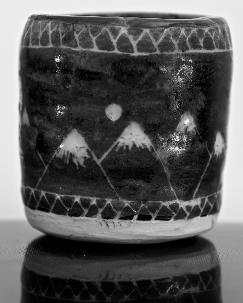
Sgraffito Mountains

Lazy Sunday Afternoon

Northern White Cedar

Northern White Cedar

Sailor's Delight

Cozy Winter Night

Purple Flower Bokeh
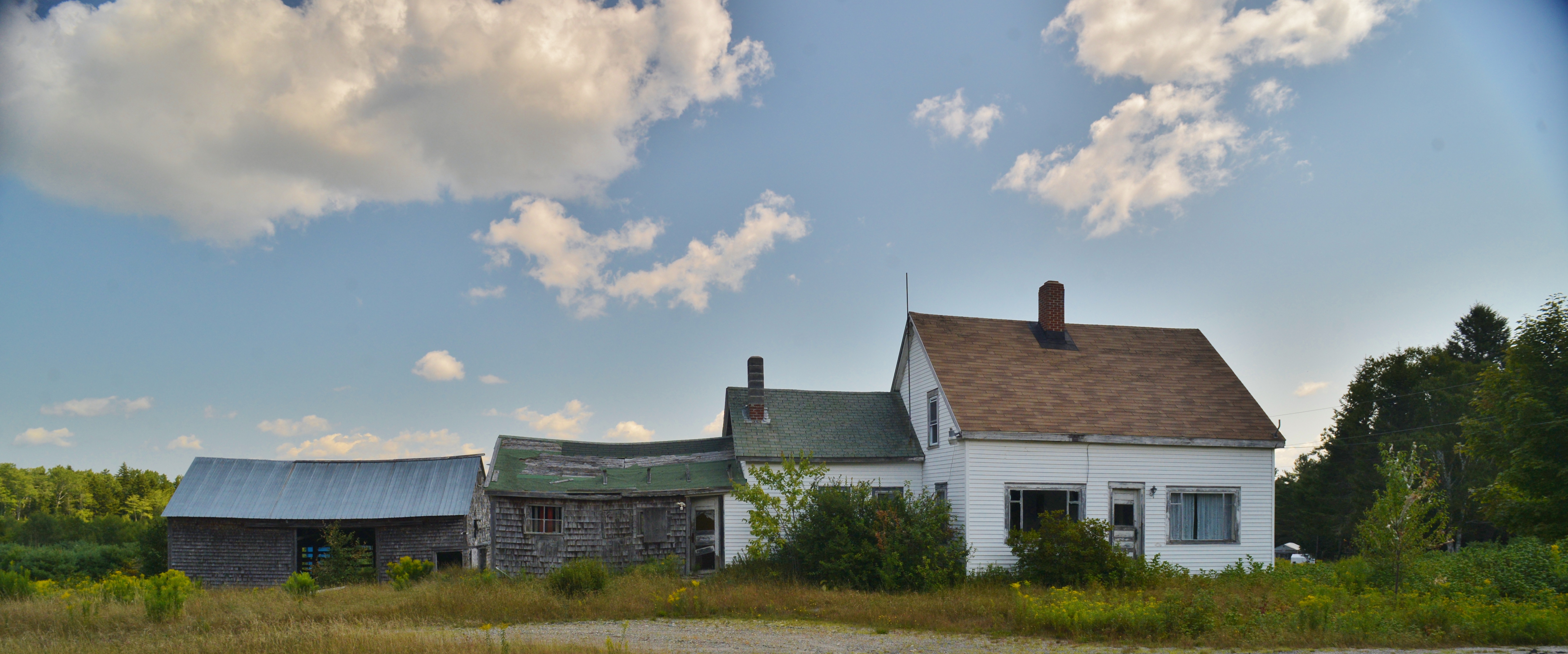
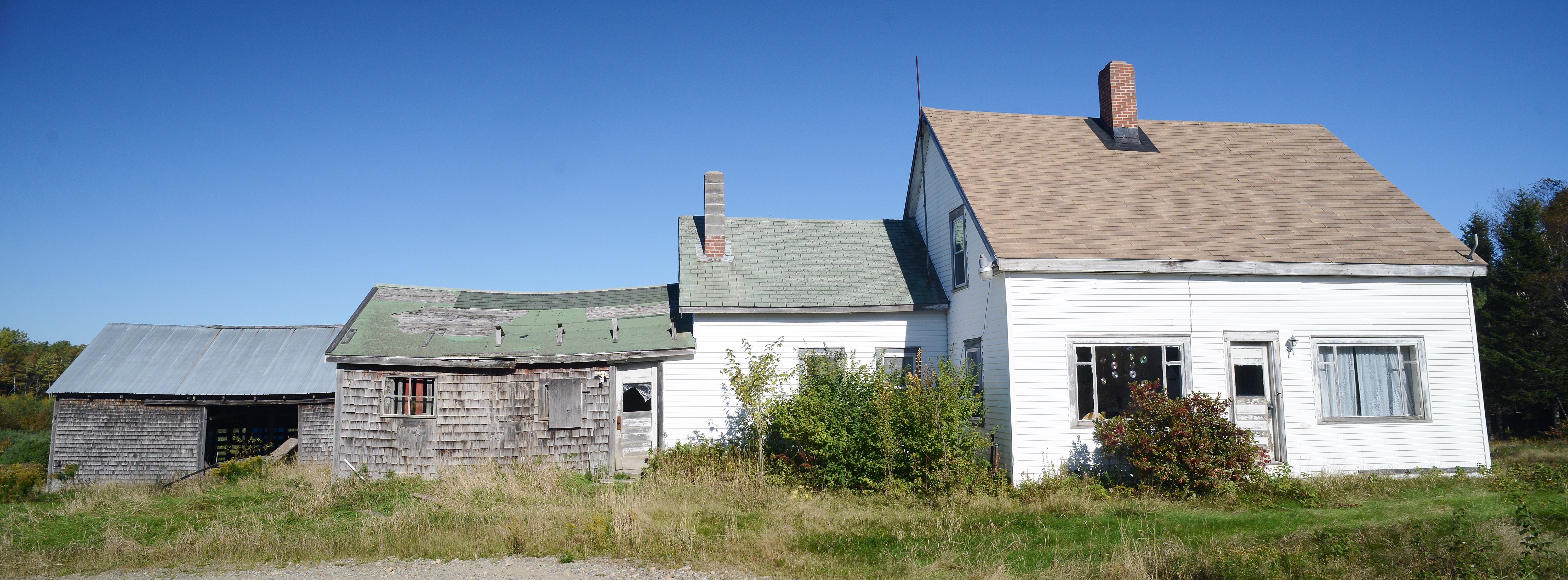
Was a country home
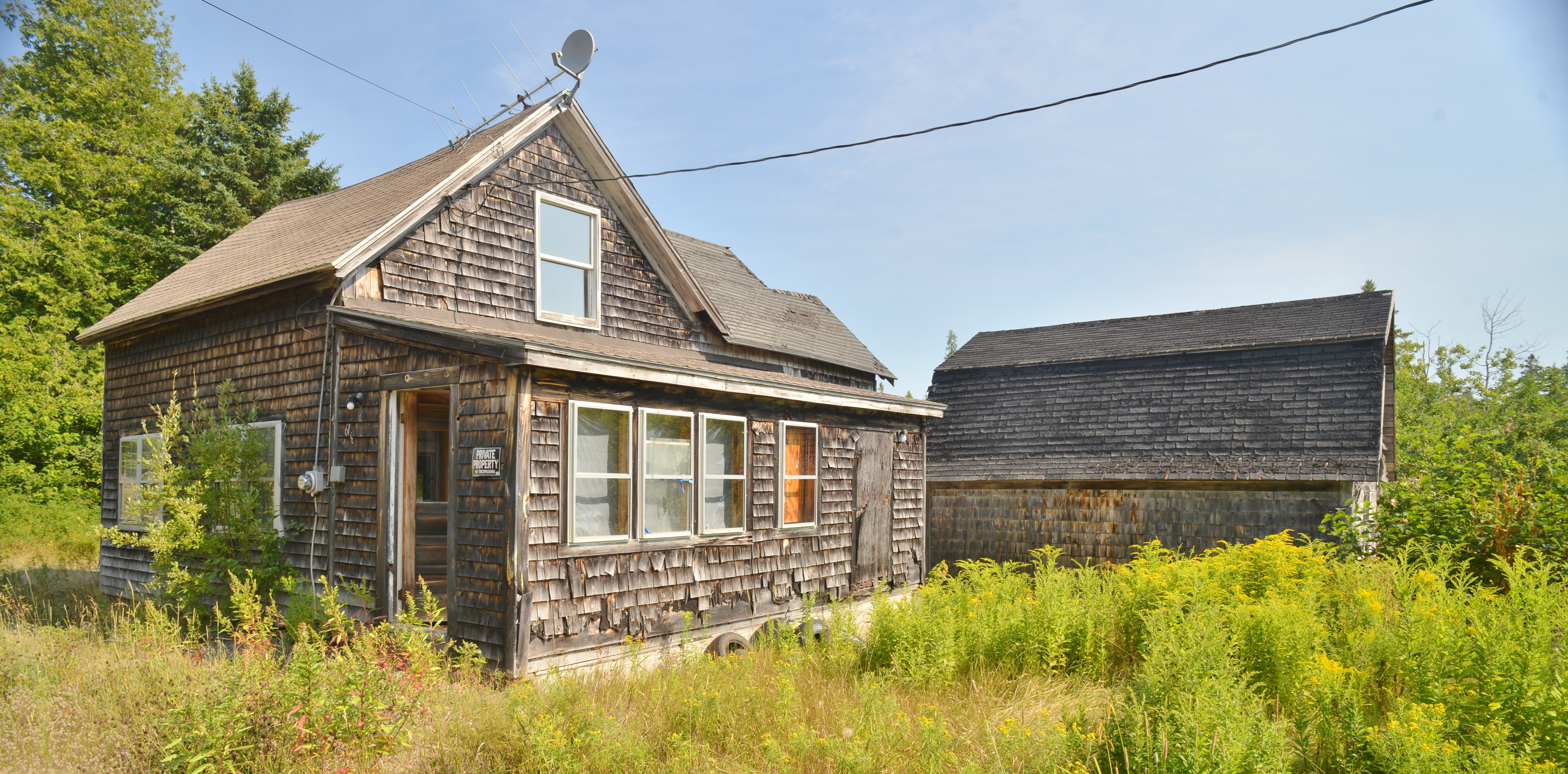
Mr. & Mrs Private Property Live here in Pembroke, Maine
I don't think so!
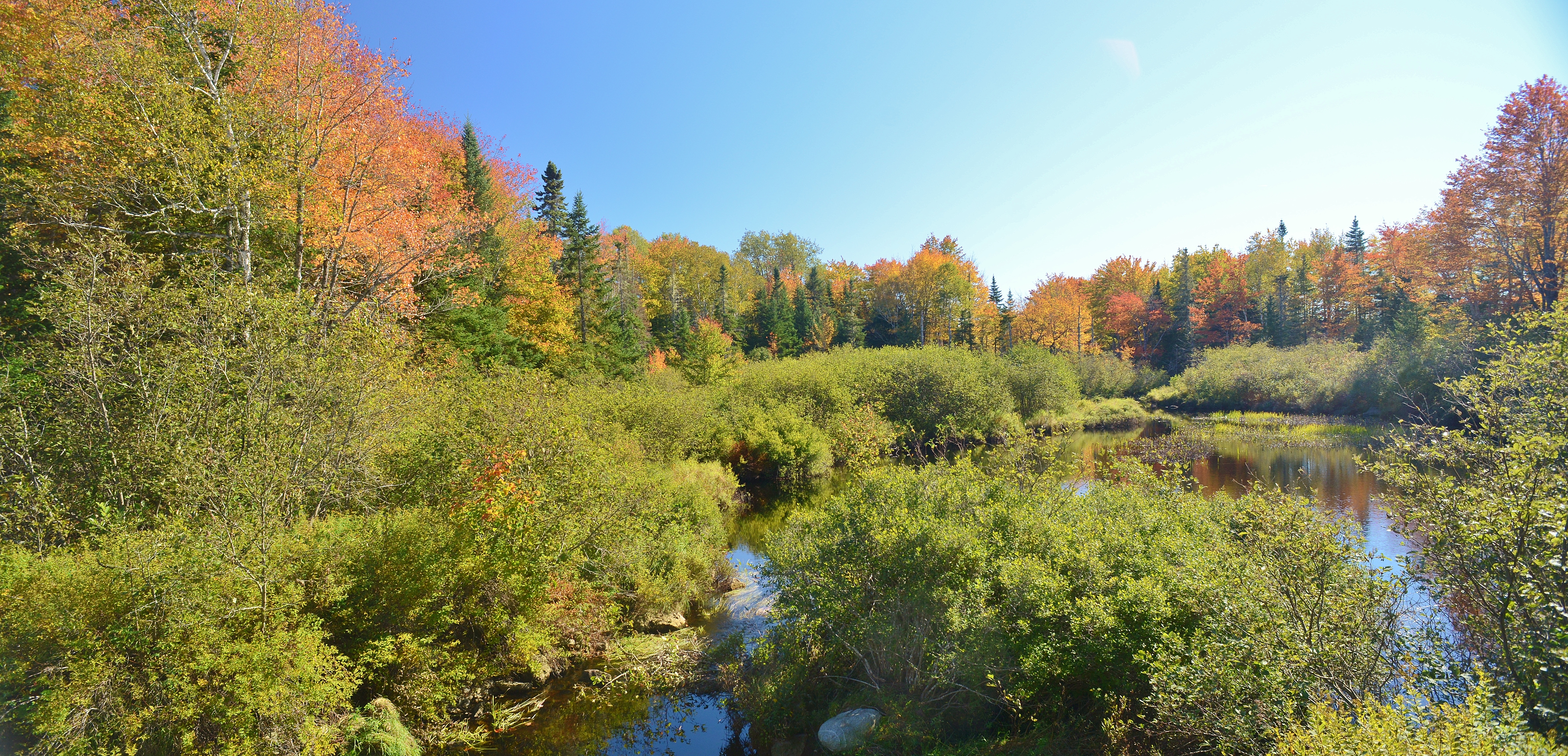
Fall in Maine

Campobello House

Cemetery behind First Congregational Church in East Machias Maine

Sunburst above First Congregational Church in East Machias Maine
Route 86
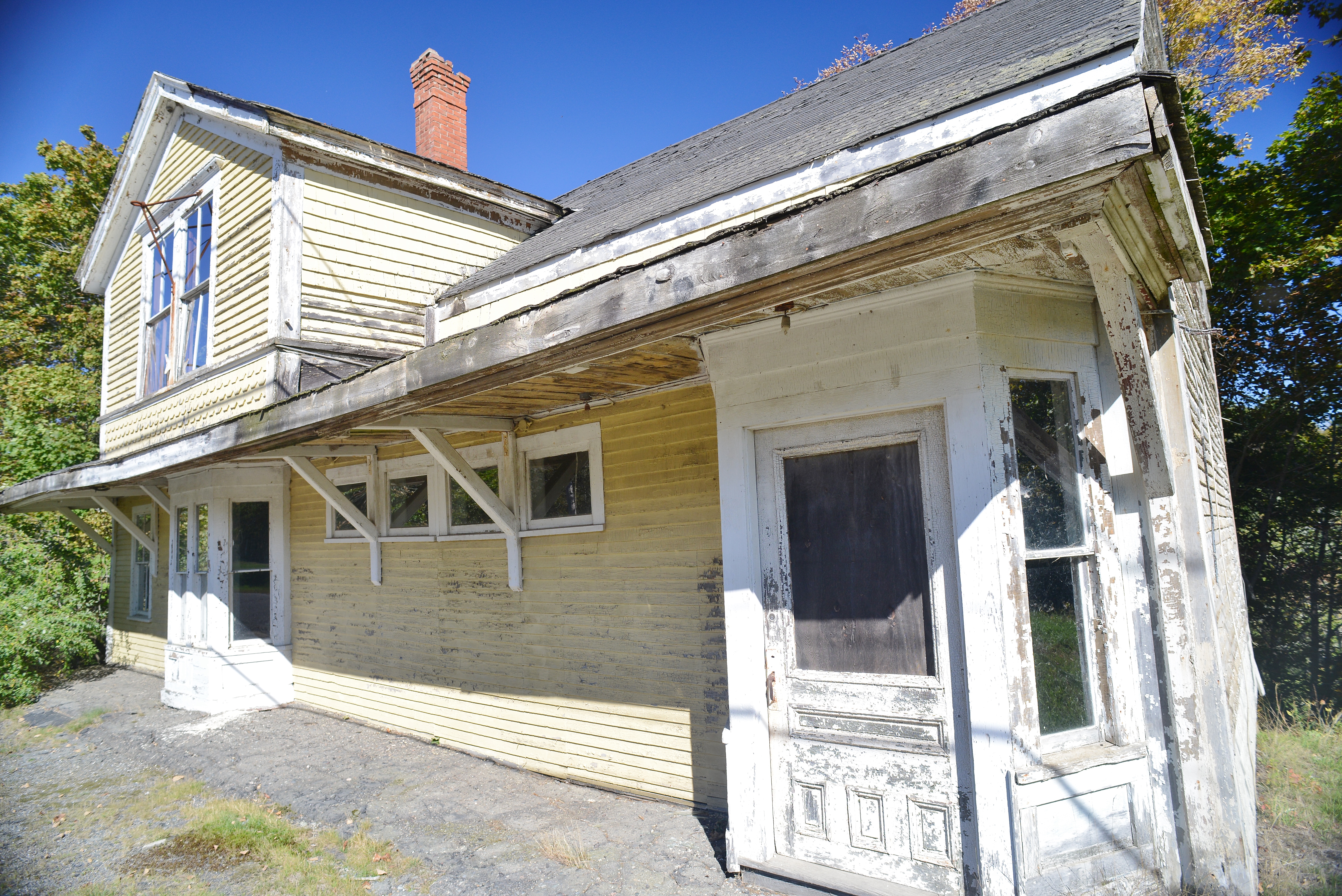
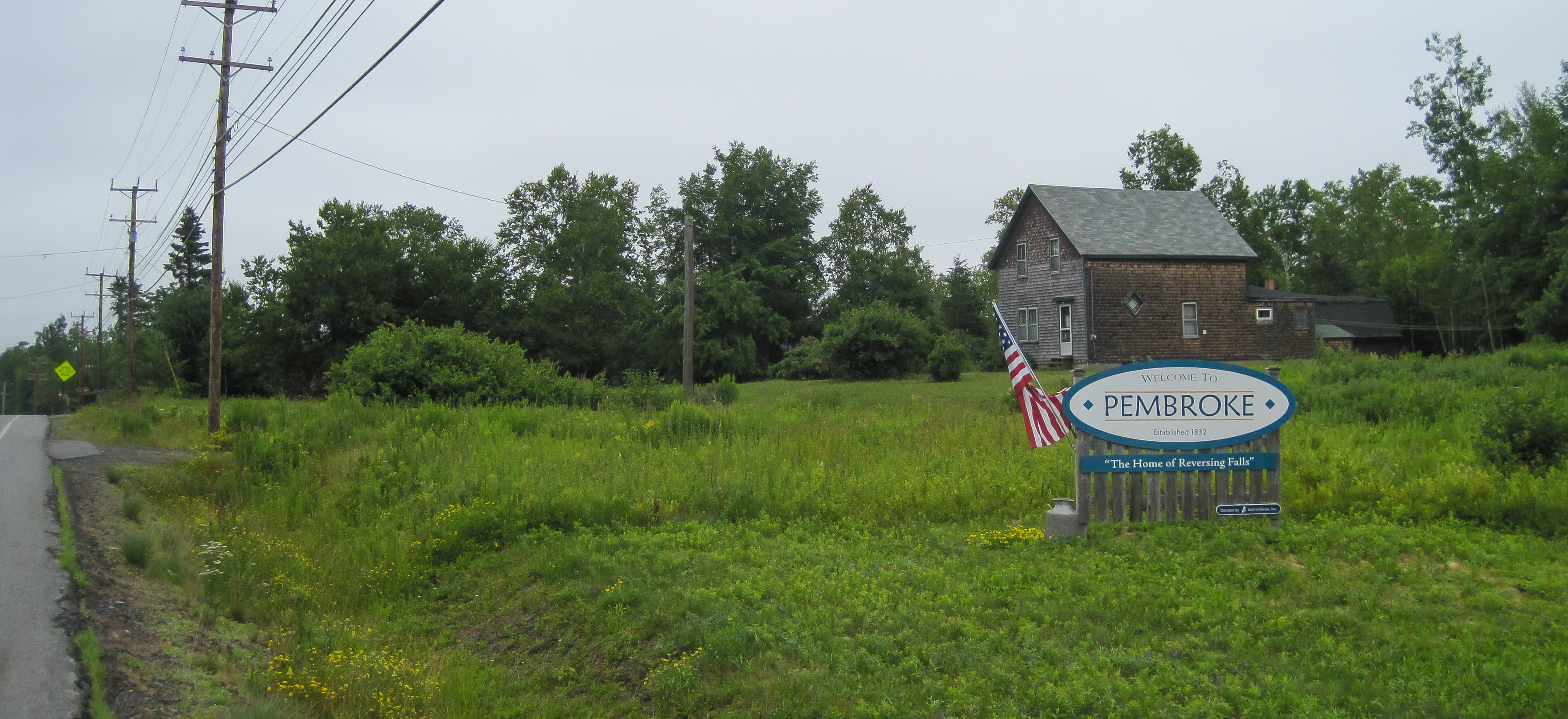
Once a "General Store"--now a private will not live here
Marion, Maine

The chain saw won

Creamer Cemetery Maine
The invite
Topographic Map of East Central Washington, ME, USA
Find elevation by address:

Places in East Central Washington, ME, USA:
Places near East Central Washington, ME, USA:
36 Cooper Hwy, Cooper, ME, USA
Cooper
Rural Rte 1, East Machias, ME, USA
East Machias
495 Hadley Lake Rd
S River Rd, Dennysville, ME, USA
697 Cooper Hwy
697 Cooper Hwy
Scotts Hill Road
85 East Side Rd
Cutler Rd, Whiting, ME, USA
832 Cutler Rd
831 Cutler Rd
Johnson Lane
Machiasport
Old County Road
1 North St
1 Short St
9 Lyons St
13 Lyons St
Recent Searches:
- Elevation of Corso Fratelli Cairoli, 35, Macerata MC, Italy
- Elevation of Tallevast Rd, Sarasota, FL, USA
- Elevation of 4th St E, Sonoma, CA, USA
- Elevation of Black Hollow Rd, Pennsdale, PA, USA
- Elevation of Oakland Ave, Williamsport, PA, USA
- Elevation of Pedrógão Grande, Portugal
- Elevation of Klee Dr, Martinsburg, WV, USA
- Elevation of Via Roma, Pieranica CR, Italy
- Elevation of Tavkvetili Mountain, Georgia
- Elevation of Hartfords Bluff Cir, Mt Pleasant, SC, USA