Elevation of 58 Hersey Ln, Pembroke, ME, USA
Location: United States > Maine > Washington County > Pembroke >
Longitude: -67.161169
Latitude: 44.9438357
Elevation: 12m / 39feet
Barometric Pressure: 101KPa
Elevation Map:
Satellite Map:
Related Photos:

Reversing Falls Park

Colors in Nature - Blue ~ part 2
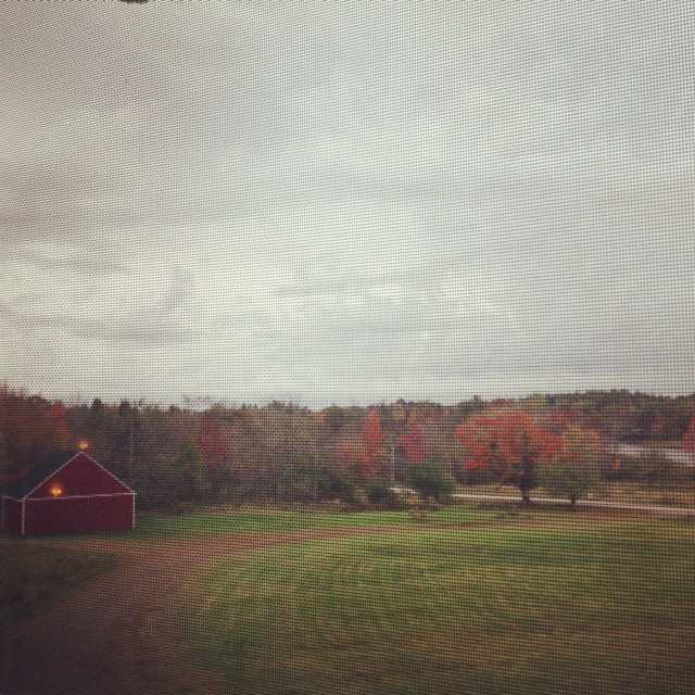
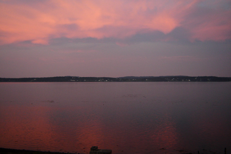
Rick and I are in Maine and this is our morning view... There's that thing called Autumn out there!!! It's beautiful!

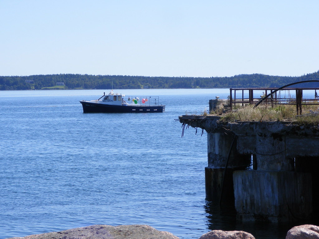
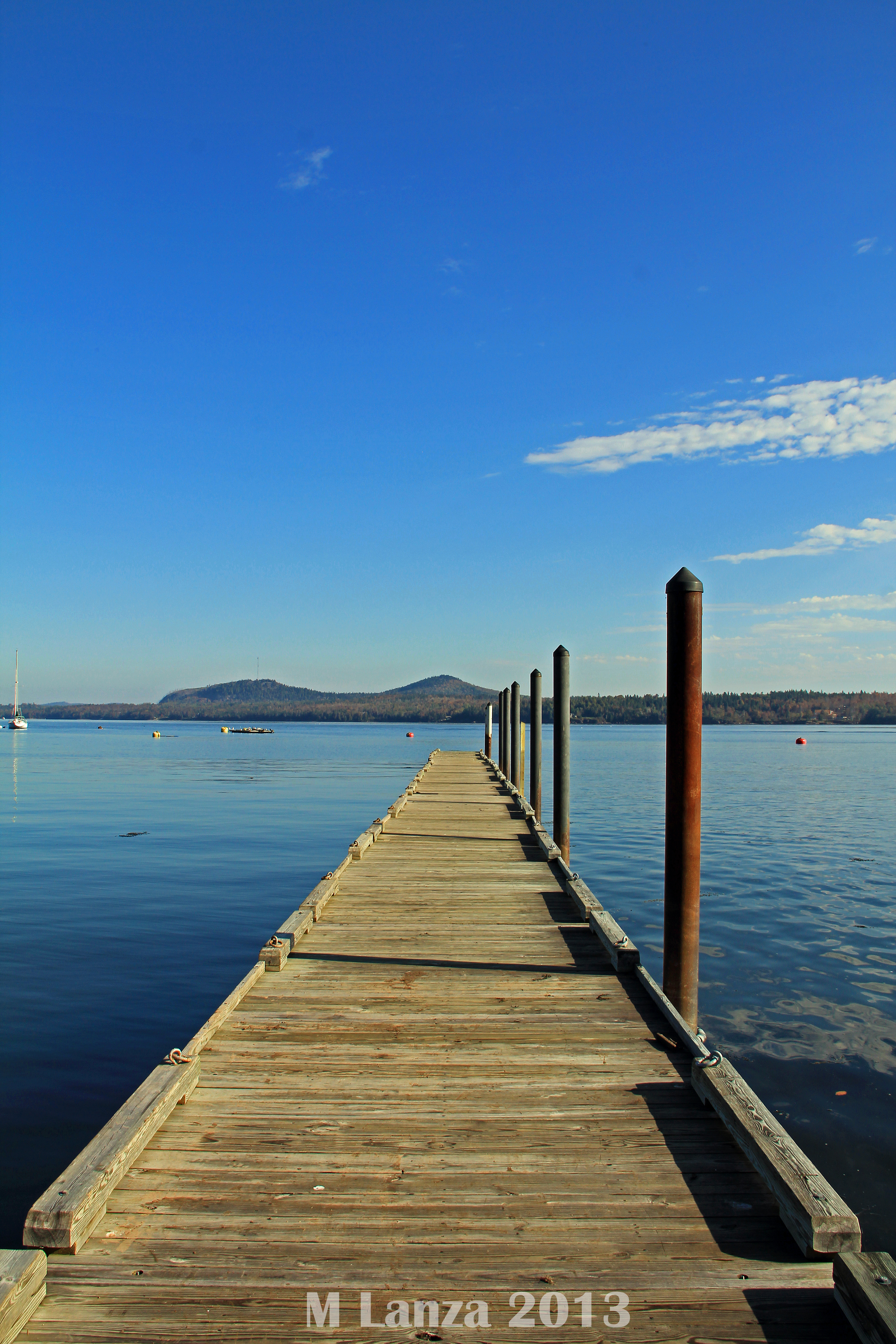
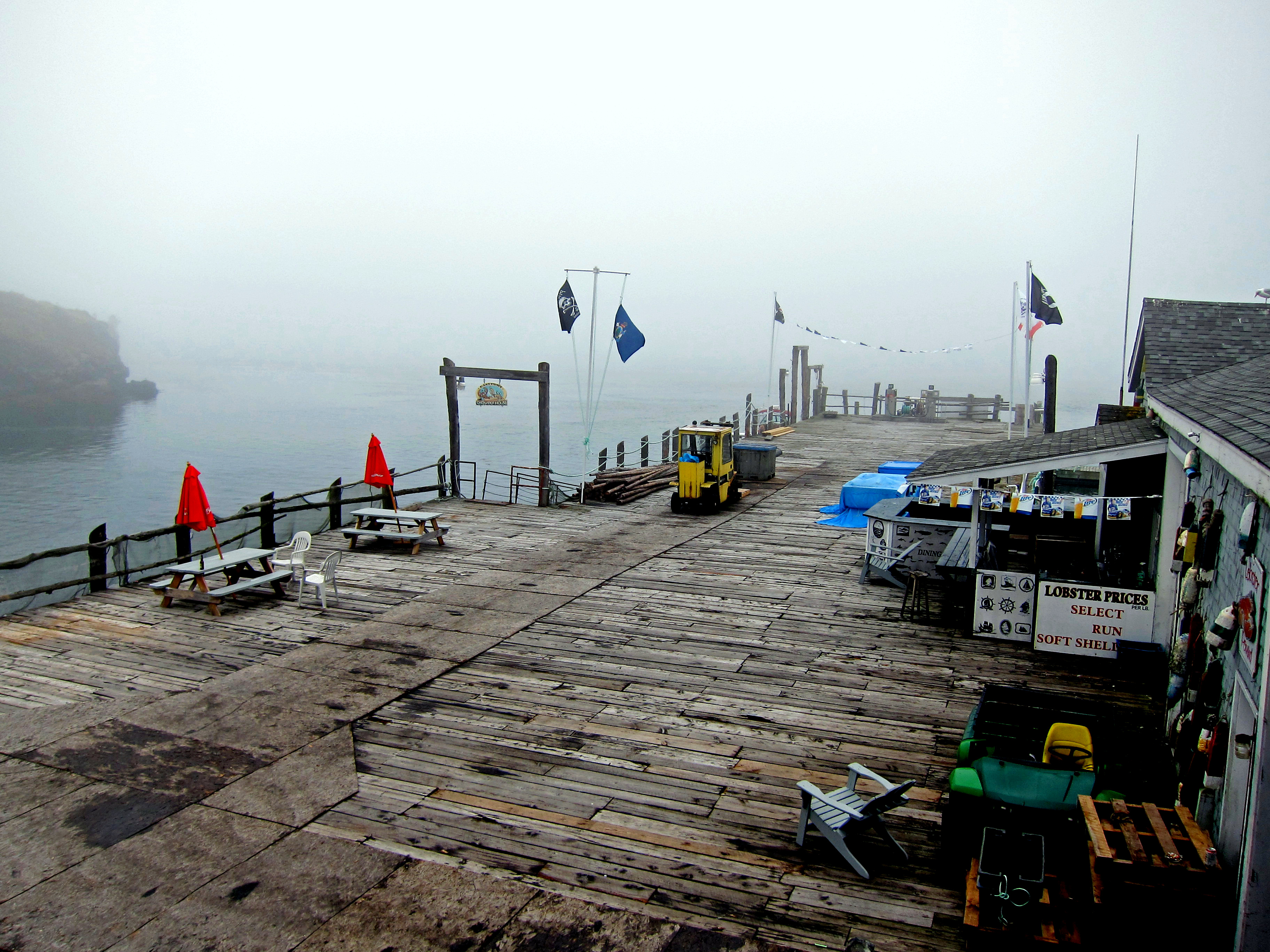
view frommunicipal pier
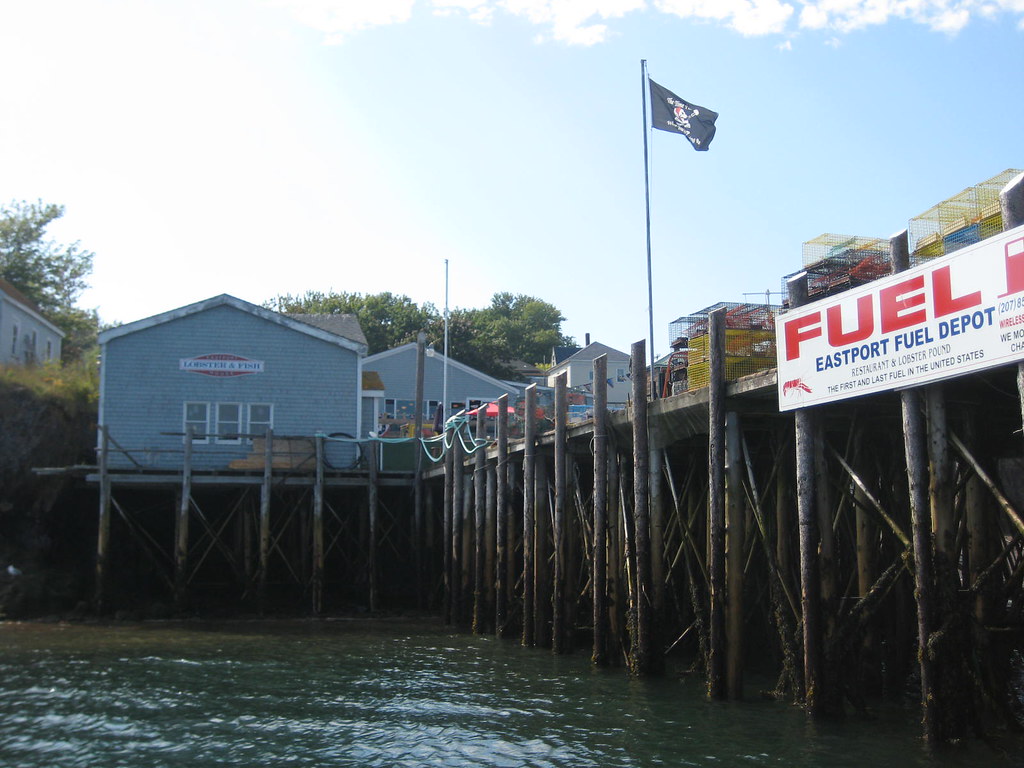
view from the fuel dock at low tide

Campobello House View

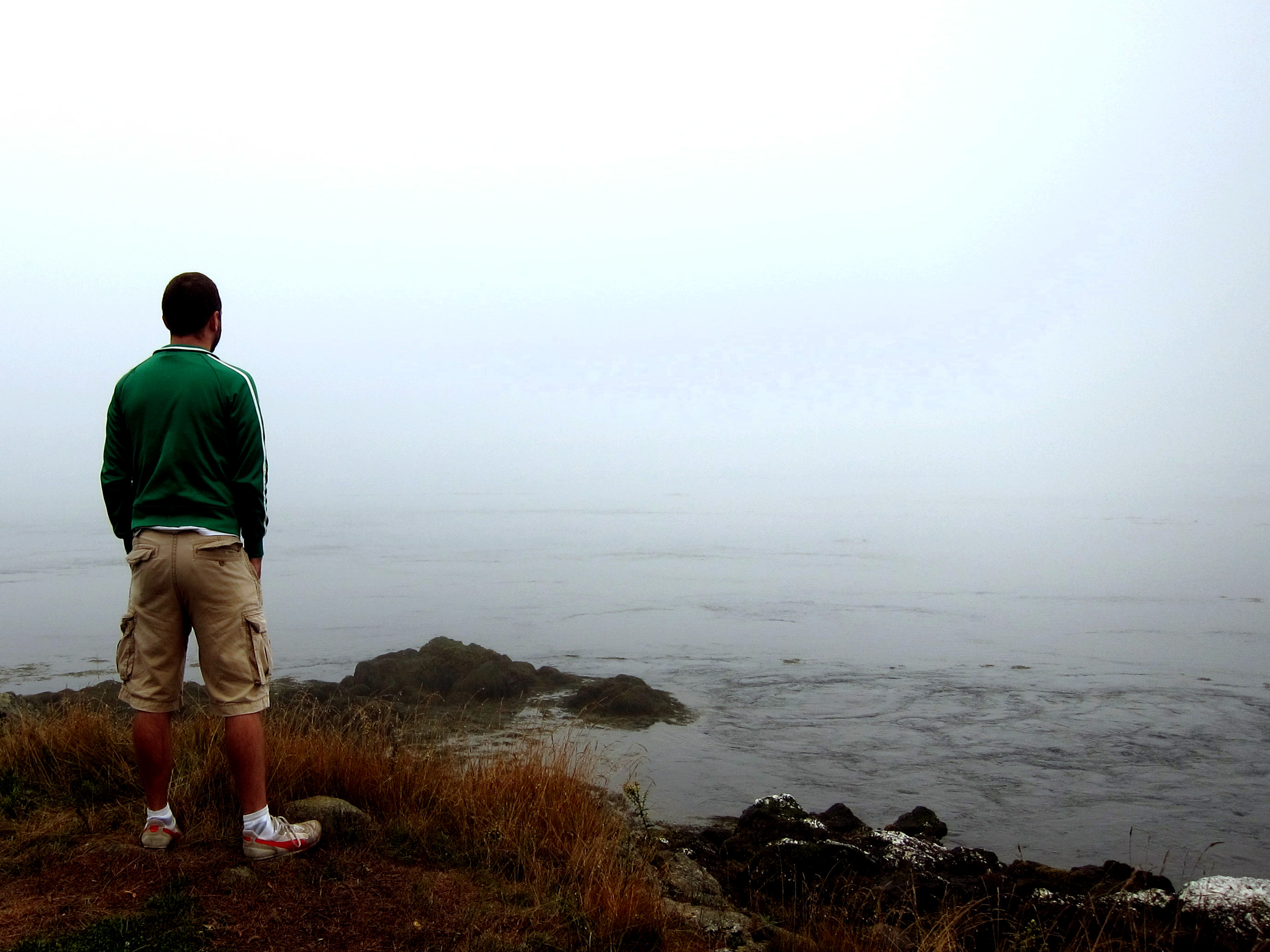
IMG_2779misty view RR
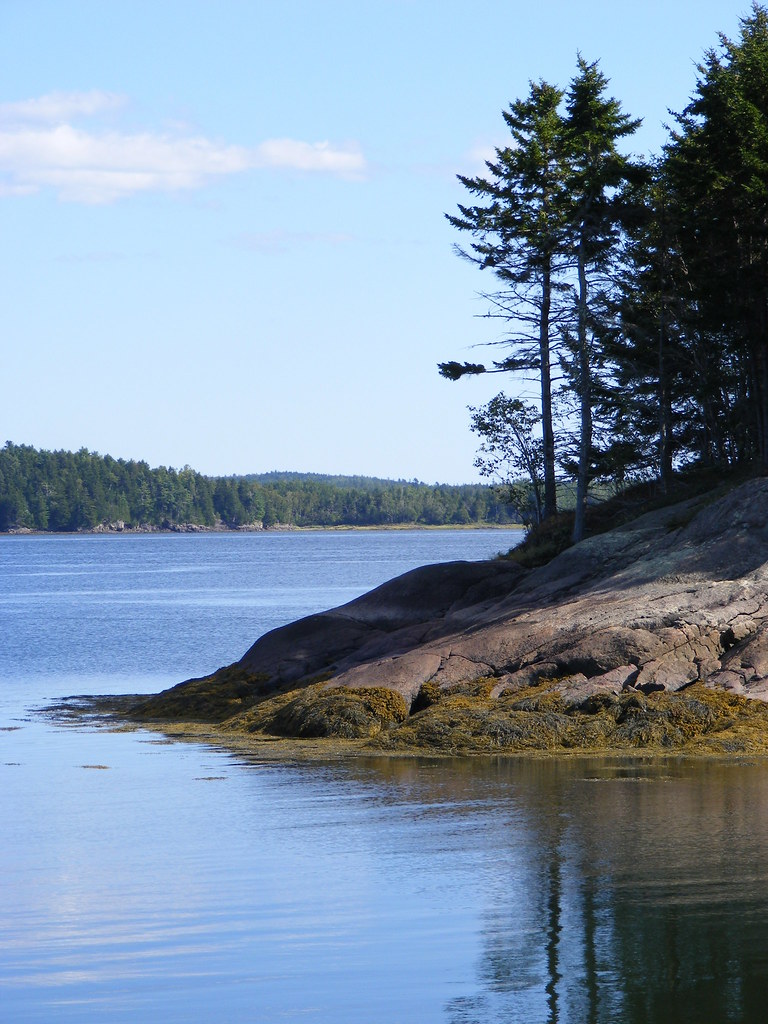
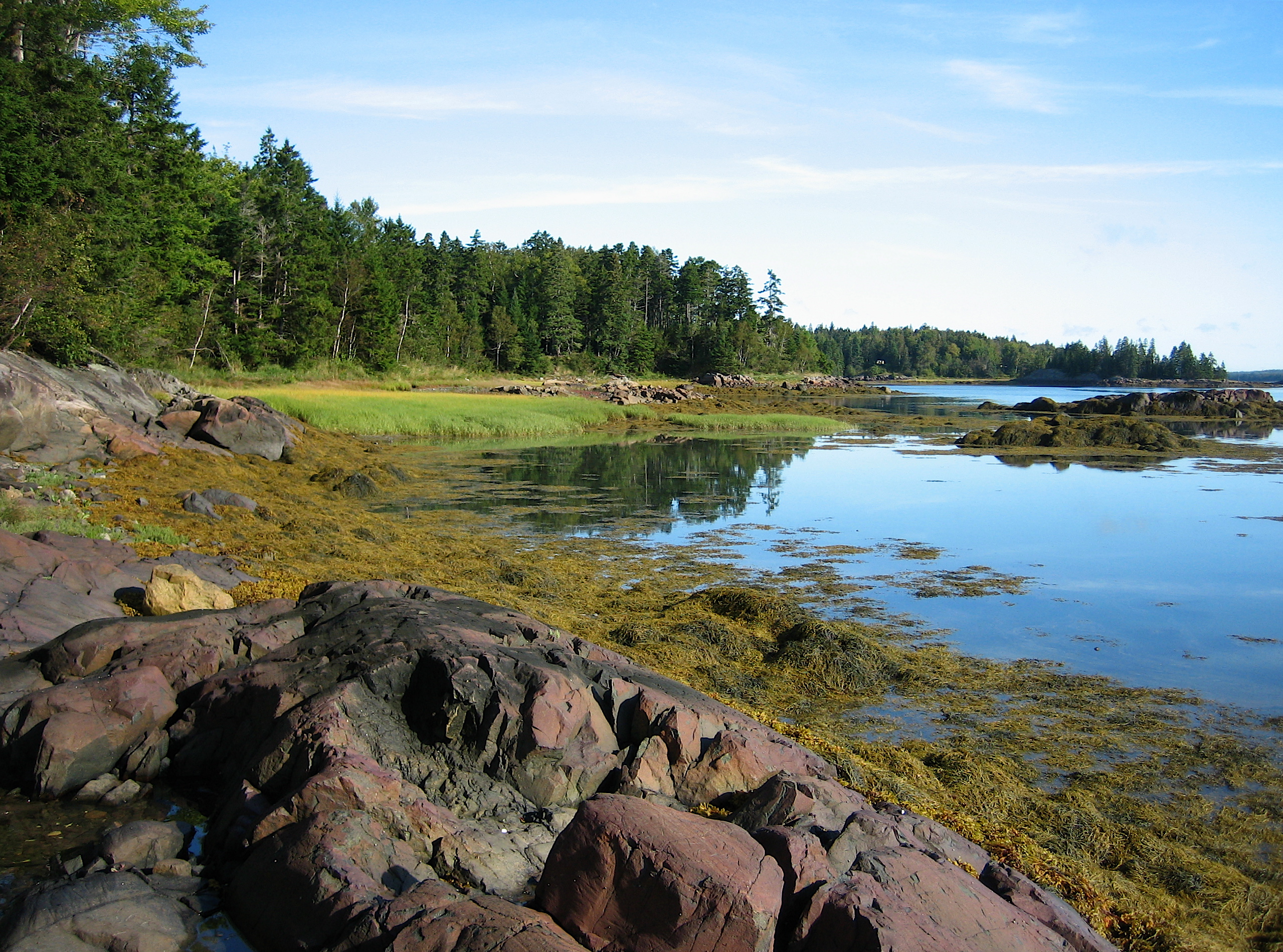
Broad Cove at low tide
me_nb03m098 Eastport View, Maine 2004
Fishing boat
me_nb03m099 Eastport View, Maine 2004
Cobscook State Park
another view from the campsite
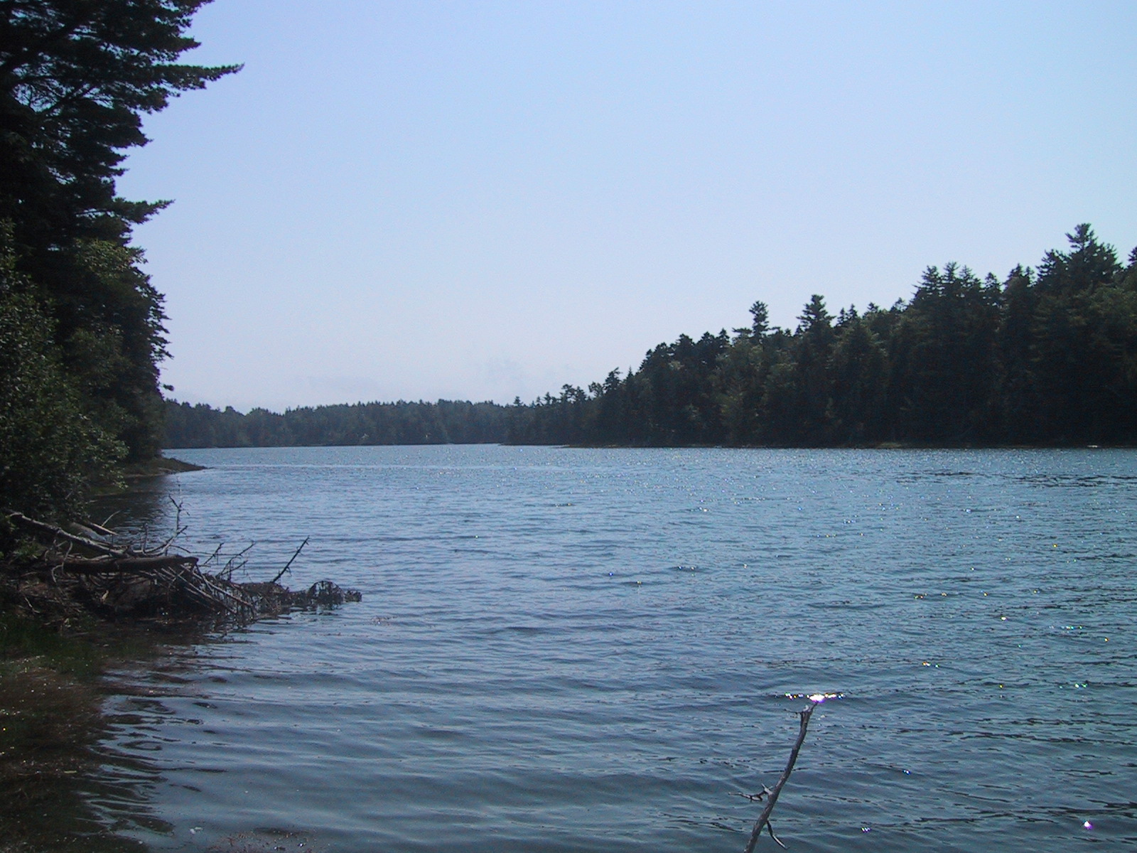
Broad Cove at high tide
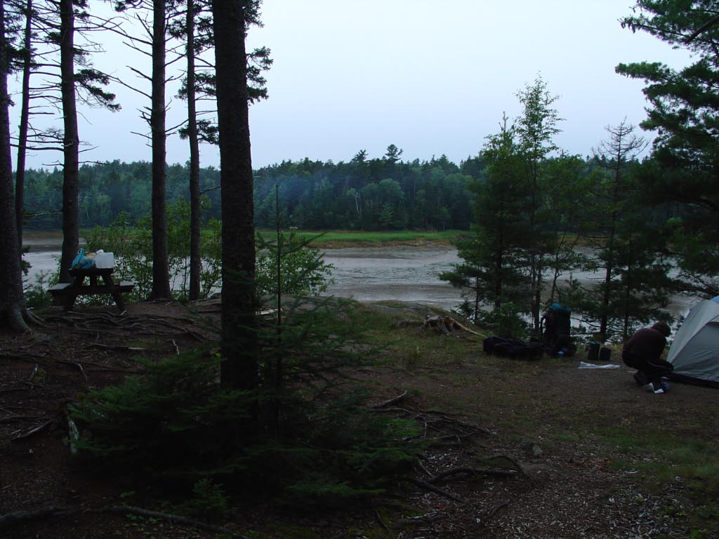
our primo campsite
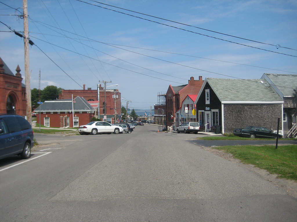
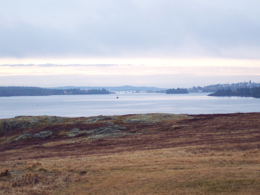
view towards downtown eastport
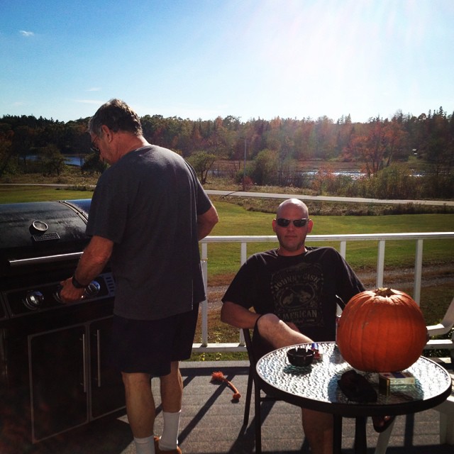
Grilling with a view!

Reversing Falls Park
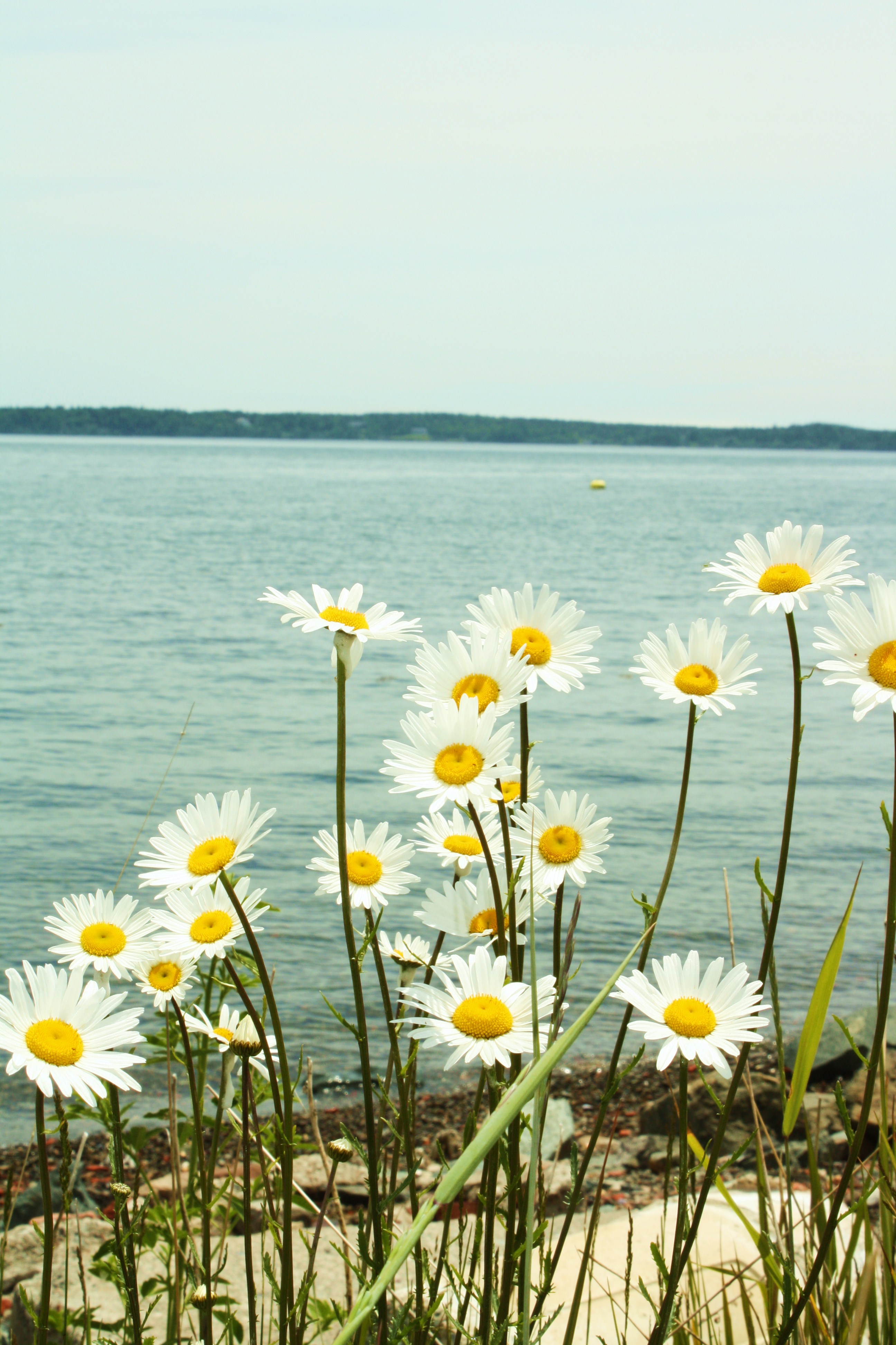
Daisies on the Shore
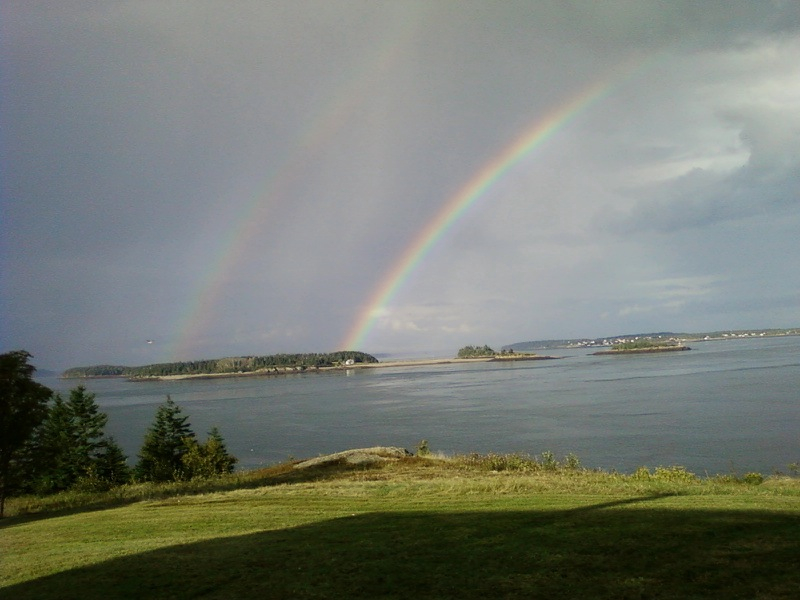
Rainbow over Indian Island.
Our campsite overlooking the water...- Cobscook Bay State Park
Sipp's Bay Walk August 4, 2013
07-06-10
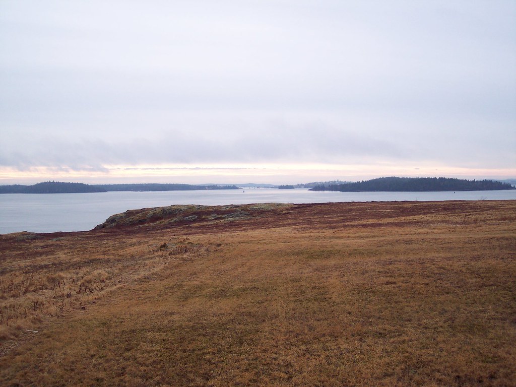
Looking To New Brunswick

Cool Blue
Watching the Tide Come In

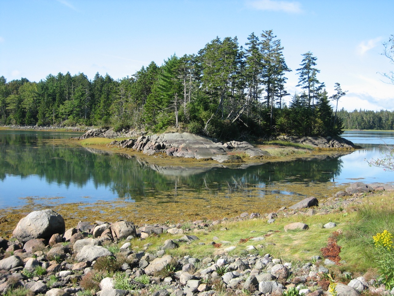
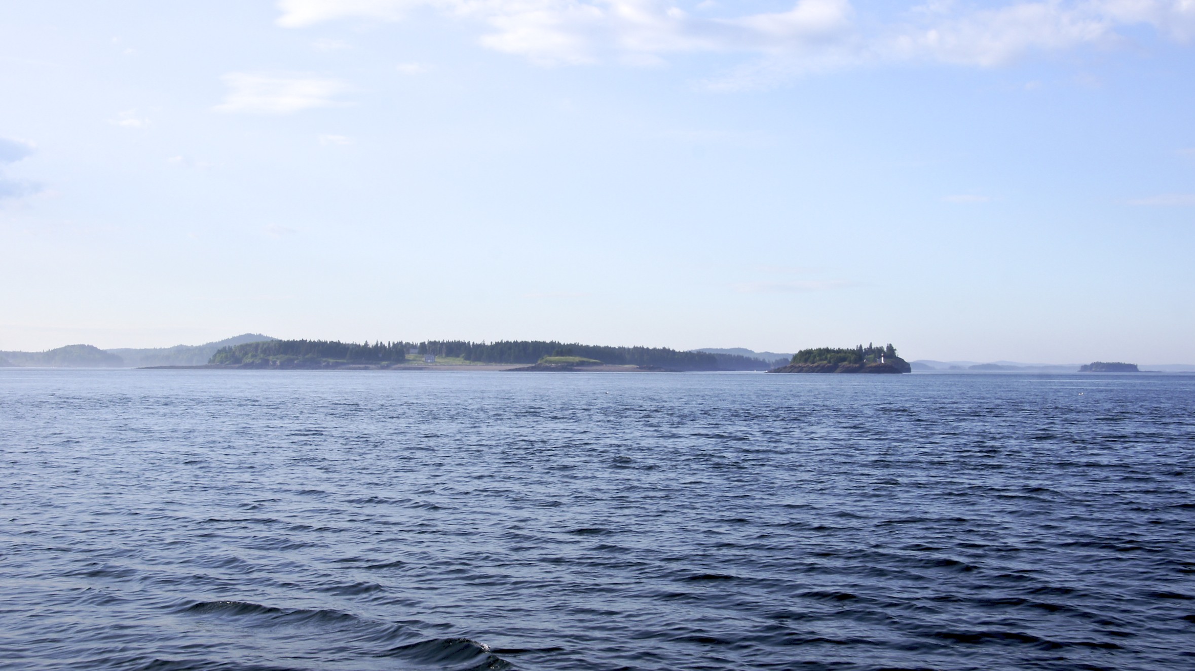
Deer Island

Eastport ME-Deer Island NB Ferry
Eastport ME-Deer Island NB Ferry
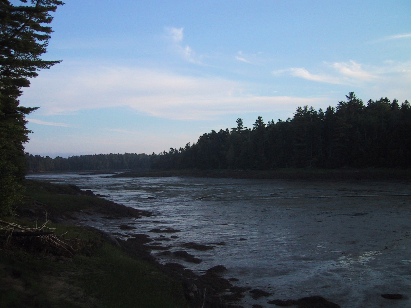
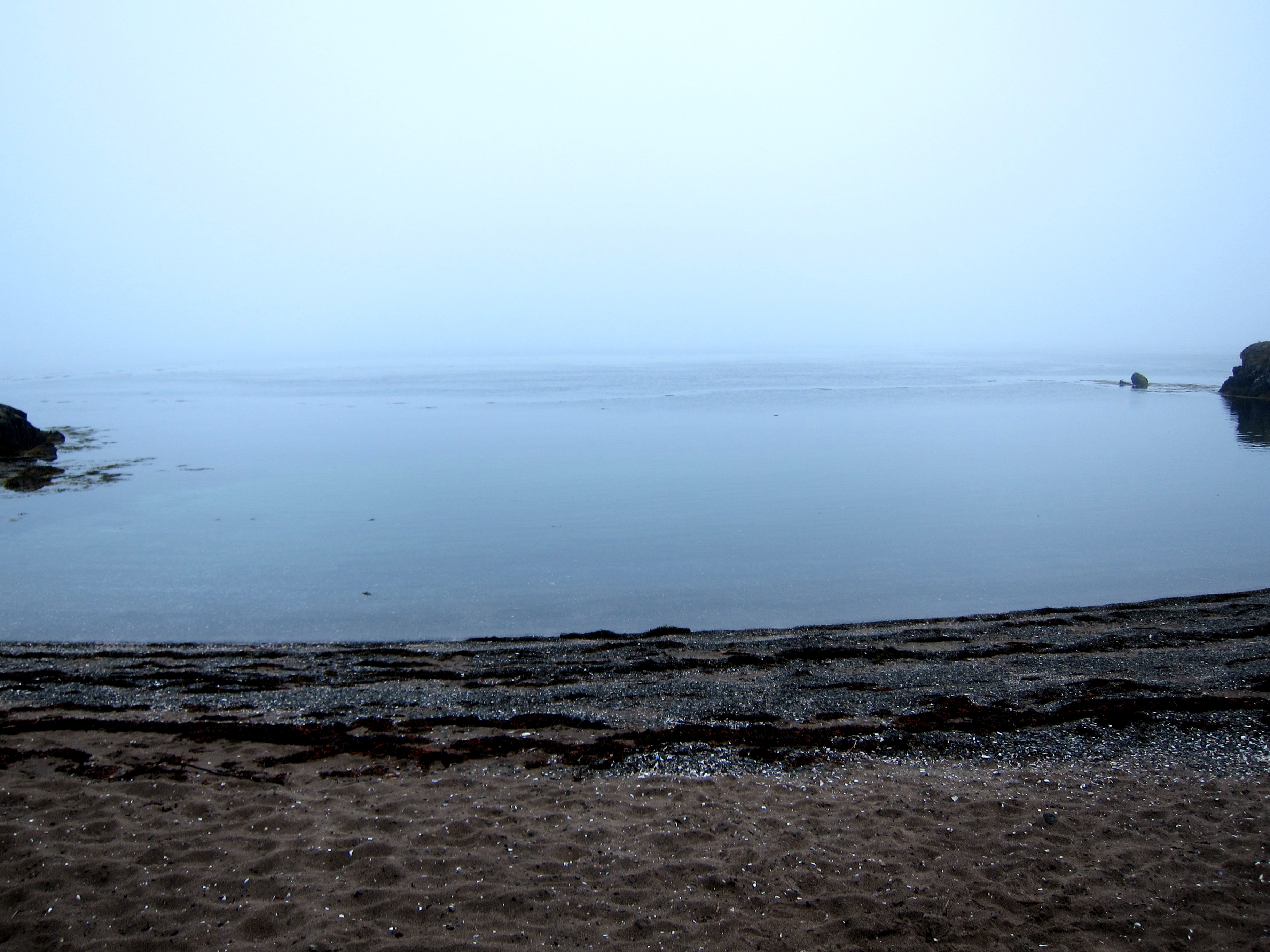
low tide
Deer Island
Eastport Ferry Landing

Salmon Pens
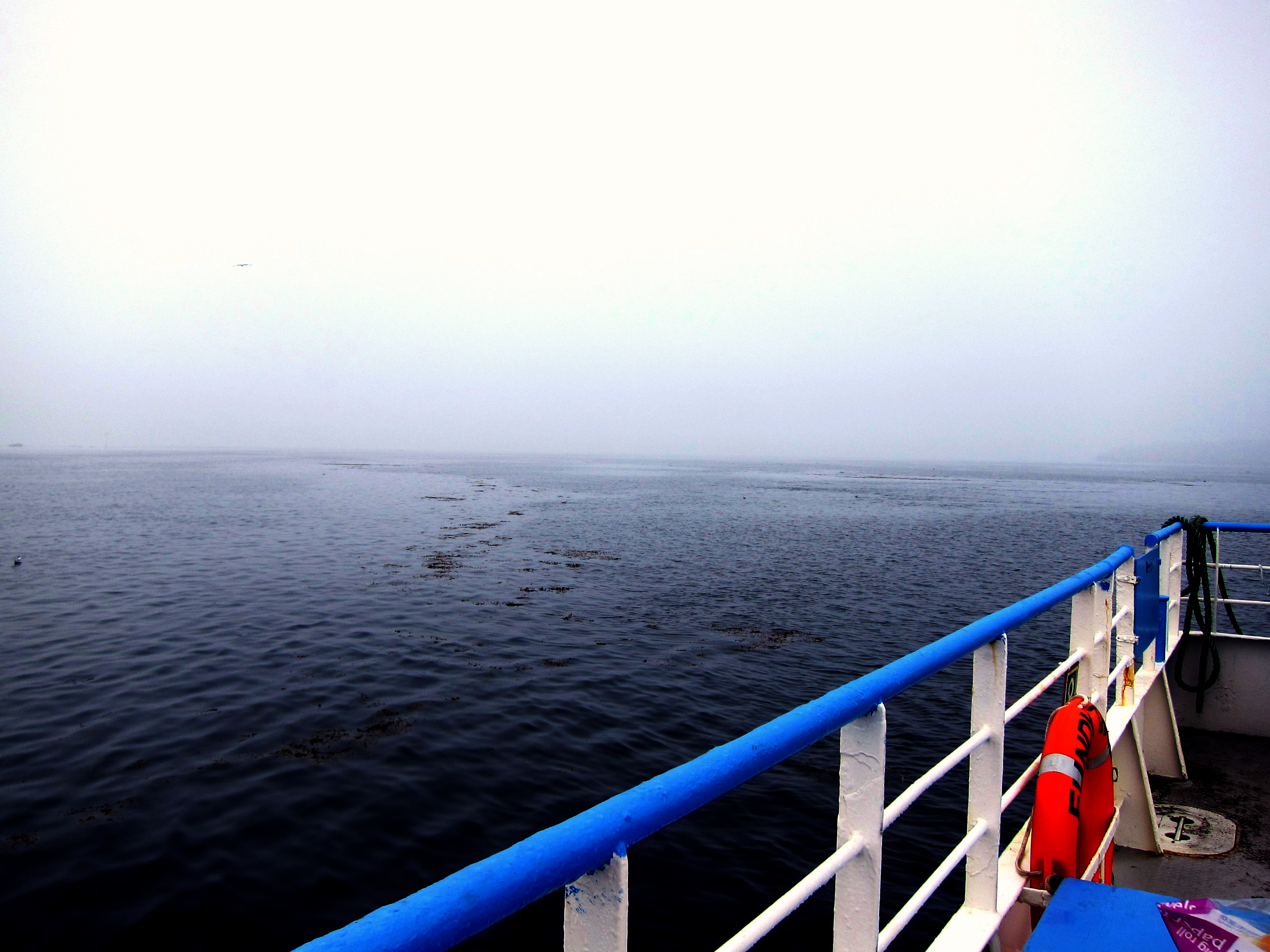
Aboard ferry to Deer Island
Topographic Map of 58 Hersey Ln, Pembroke, ME, USA
Find elevation by address:

Places near 58 Hersey Ln, Pembroke, ME, USA:
58 Hersey Ln
361 Old County Rd
Pembroke
S River Rd, Pembroke, ME, USA
S River Rd, Dennysville, ME, USA
Perry
1287 Us-1
Pleasant Point
214 Doherty Ln
10 Dresner St
19 Vanasse Rd, Eastport, ME, USA
Calders Head Rd, Calders Head, NB E5V 1N2, Canada
North Lubec Road
Calders Head
Whiting
285 N Lubec Rd
County Rd, Lubec, ME, USA
47 Boynton St
47 Boynton St
Eastport
Recent Searches:
- Elevation of Congressional Dr, Stevensville, MD, USA
- Elevation of Bellview Rd, McLean, VA, USA
- Elevation of Stage Island Rd, Chatham, MA, USA
- Elevation of Shibuya Scramble Crossing, 21 Udagawacho, Shibuya City, Tokyo -, Japan
- Elevation of Jadagoniai, Kaunas District Municipality, Lithuania
- Elevation of Pagonija rock, Kranto 7-oji g. 8"N, Kaunas, Lithuania
- Elevation of Co Rd 87, Jamestown, CO, USA
- Elevation of Tenjo, Cundinamarca, Colombia
- Elevation of Côte-des-Neiges, Montreal, QC H4A 3J6, Canada
- Elevation of Bobcat Dr, Helena, MT, USA