Elevation of S Norristown Rd, Flat Rock, IN, USA
Location: United States > Indiana > Shelby County > Washington Township > Flat Rock >
Longitude: -85.760394
Latitude: 39.3653679
Elevation: 230m / 755feet
Barometric Pressure: 99KPa
Elevation Map:
Satellite Map:
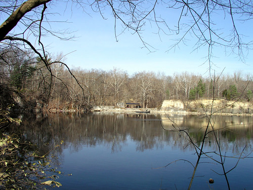
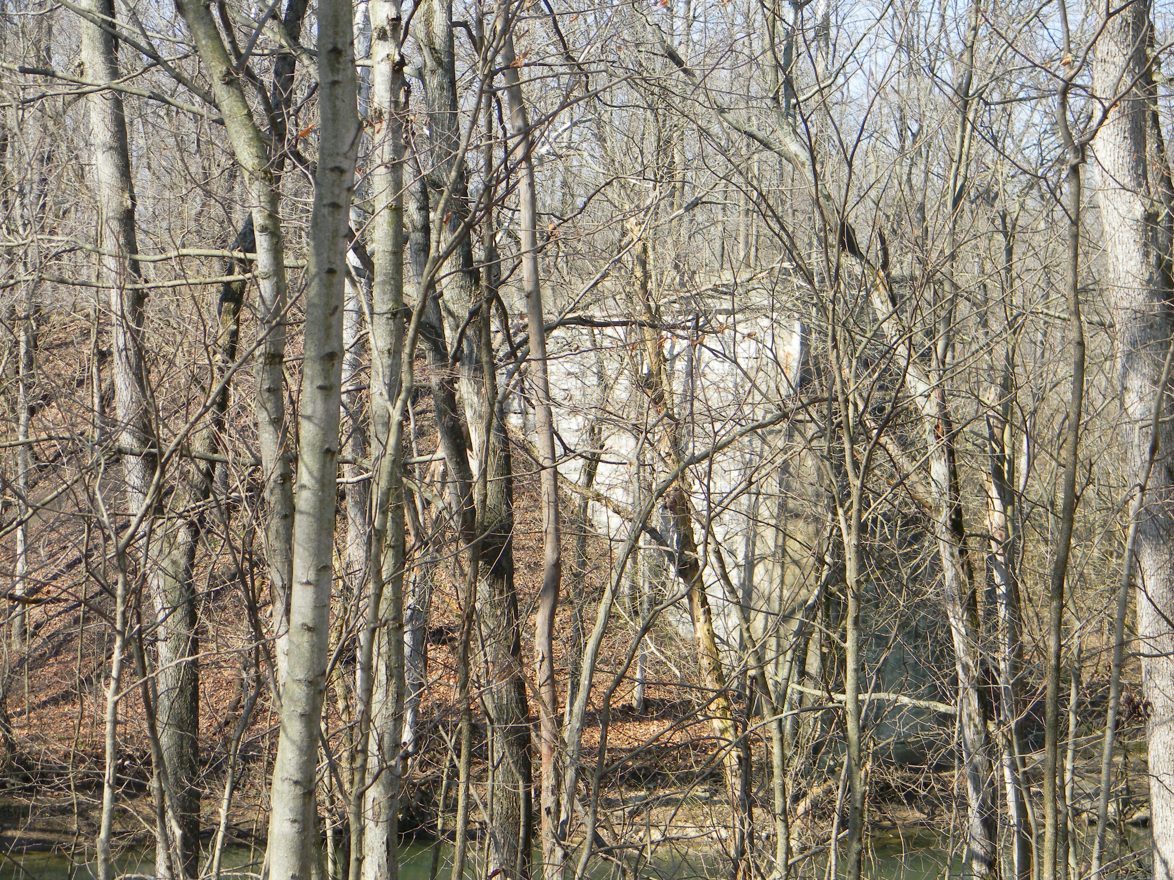
Related Photos:

gotta luv a good screw up...
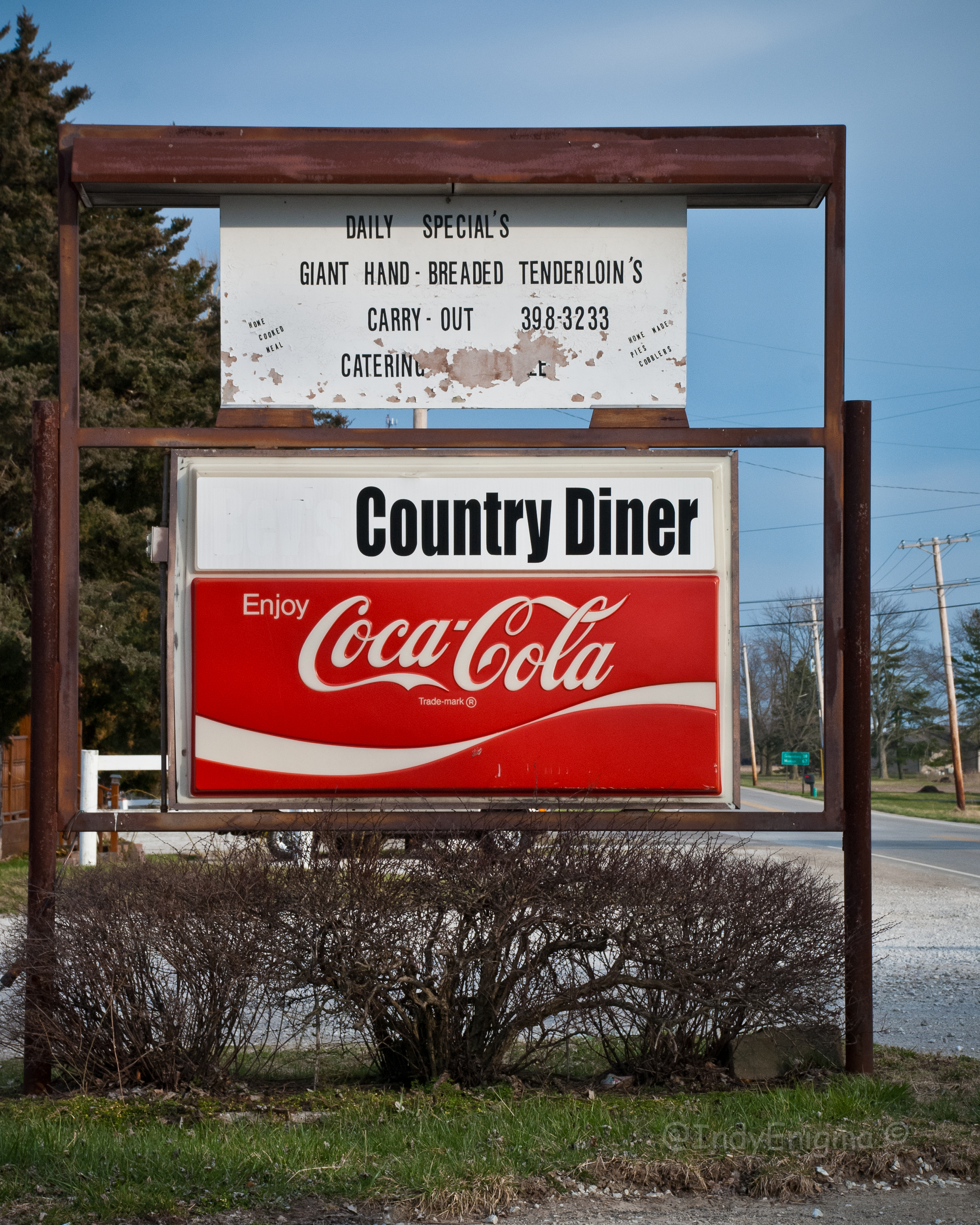
Country Diner
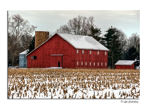
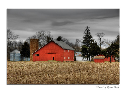
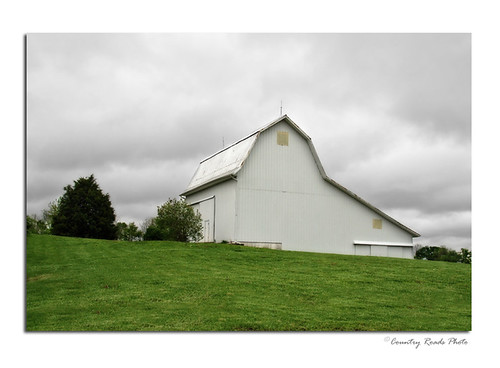
Snowy Red barn

St. Vincent De Paul Catholic Church 4

St. Vincent De Paul Catholic Church 1
Bottom Of The Hill

Shelbyville High School gym
Seeing Double

St. Vincent De Paul Catholic Church 3

Oldenburg, Indiana, USA

Wormy looking up

093.JPG

056.JPG
March Morning
Corn anyone? Children of the Corn =))

Red Door

20100403-111602

081.JPG
Autumn Lane

066.JPG
20060101-114352

Ohhhh yeah
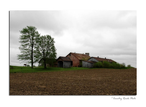
Old Buildings
Spring Clouds
20031231-142522
Columbus-Greensburg 009
20041204-110256

Anderson Falls

Purple Fields
Columbus-Greensburg 006
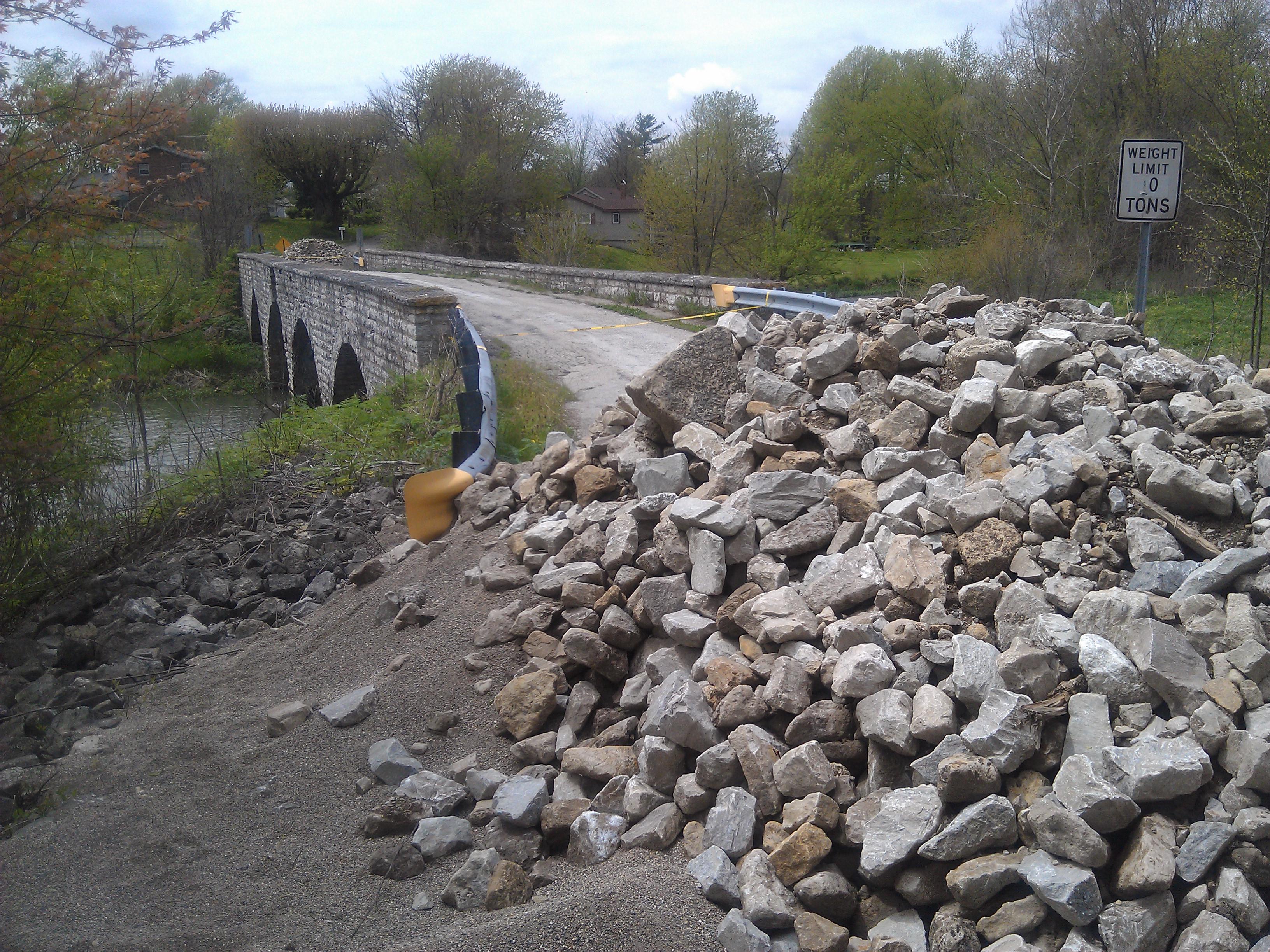
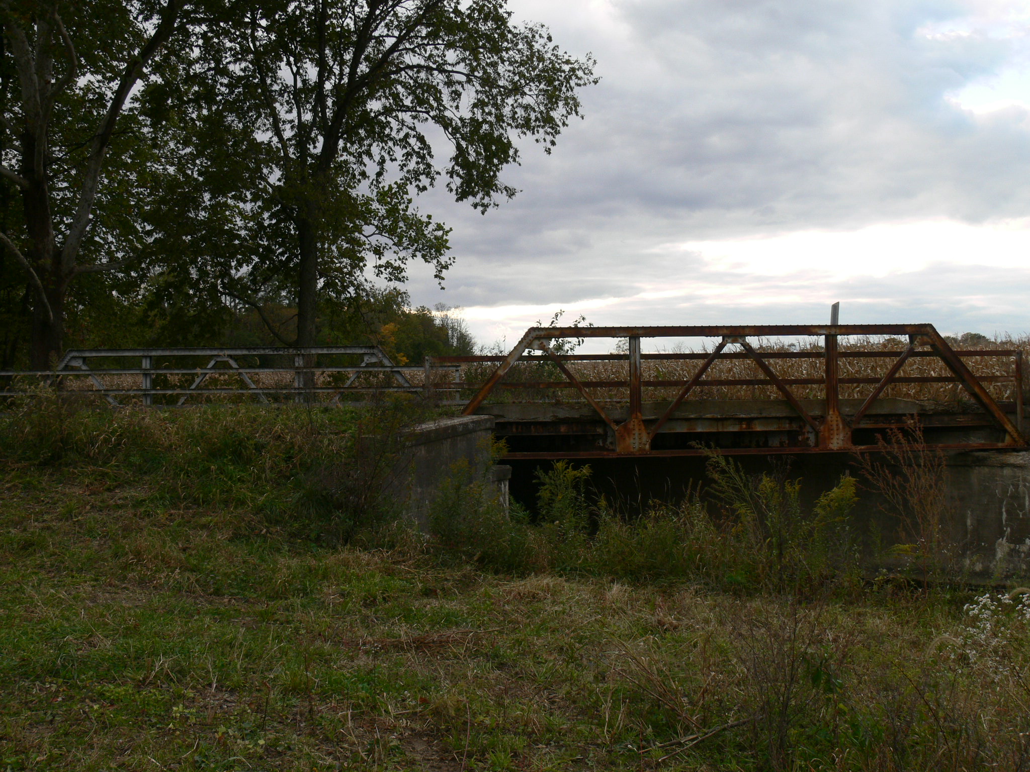
Middletown Bridge- Middletown IN (2)
Topographic Map of S Norristown Rd, Flat Rock, IN, USA
Find elevation by address:

Places near S Norristown Rd, Flat Rock, IN, USA:
Haw Creek Township
Hope
Main St, Hope, IN, USA
Knuckle St, Greensburg, IN, USA
IN-46, Columbus, IN, USA
Clifty Township
Clay Township
6602 State Rd 46
S Co Rd W, Greensburg, IN, USA
S Co Rd W, Greensburg, IN, USA
W Co Rd S, Greensburg, IN, USA
IN-3, Greensburg, IN, USA
S Co Rd W, Greensburg, IN, USA
Decatur County
S Co Rd W, Greensburg, IN, USA
Sandcreek Township
Sandcreek Township
Sandcreek Township
Sandcreek Township
Sandcreek Township
Recent Searches:
- Elevation of Mountain View, CA, USA
- Elevation of Foligno, Province of Perugia, Italy
- Elevation of Blauwestad, Netherlands
- Elevation of Bella Terra Blvd, Estero, FL, USA
- Elevation of Estates Loop, Priest River, ID, USA
- Elevation of Woodland Oak Pl, Thousand Oaks, CA, USA
- Elevation of Brownsdale Rd, Renfrew, PA, USA
- Elevation of Corcoran Ln, Suffolk, VA, USA
- Elevation of Mamala II, Sariaya, Quezon, Philippines
- Elevation of Sarangdanda, Nepal