Elevation of Washington Township, IN, USA
Location: United States > Indiana > Shelby County >
Longitude: -85.787166
Latitude: 39.3896897
Elevation: 217m / 712feet
Barometric Pressure: 99KPa
Elevation Map:
Satellite Map:
Related Photos:

gotta luv a good screw up...

just a bit west of Shelbyville, Indiana...

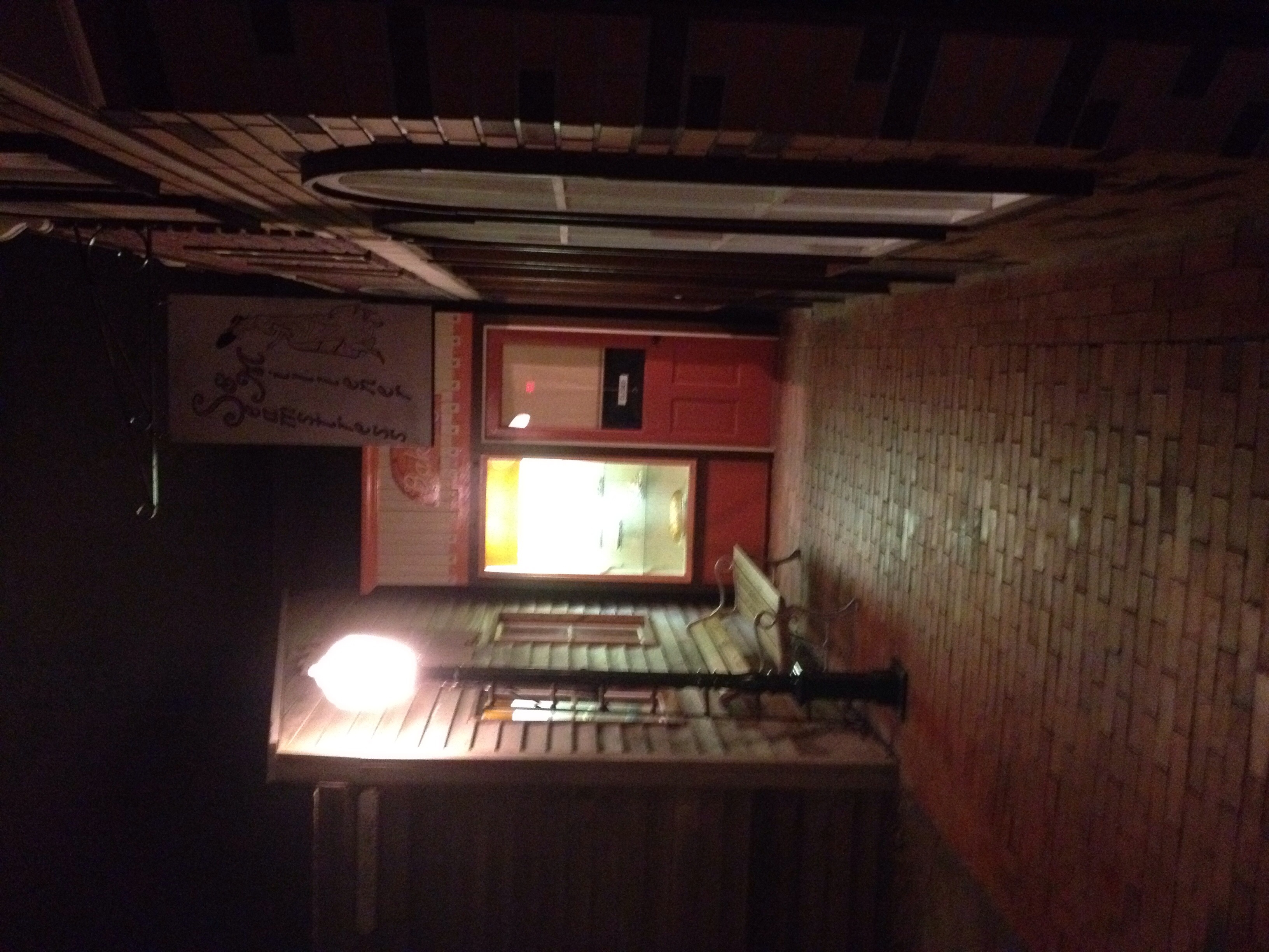
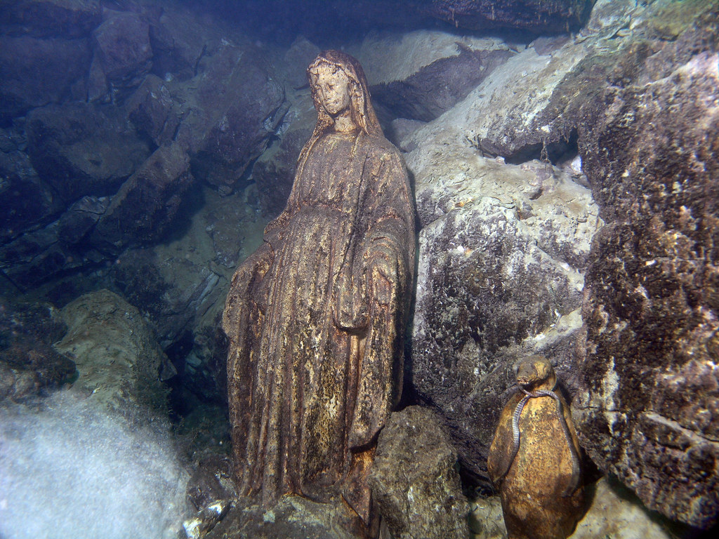
nighttime stone...

3/10/13 7:26pm temp approx 45f

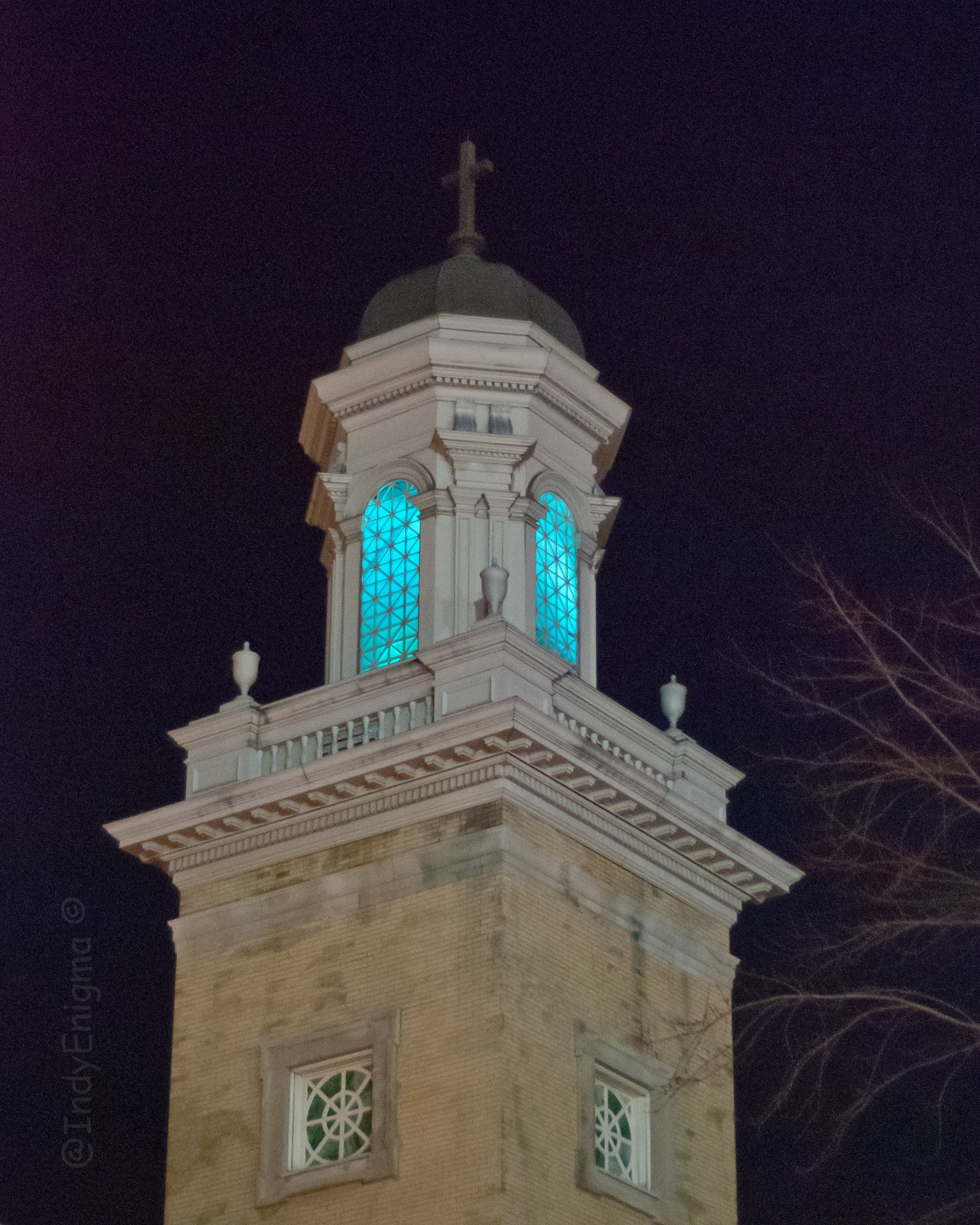
bcuz it was during 'golden hour' & it's green ;-)
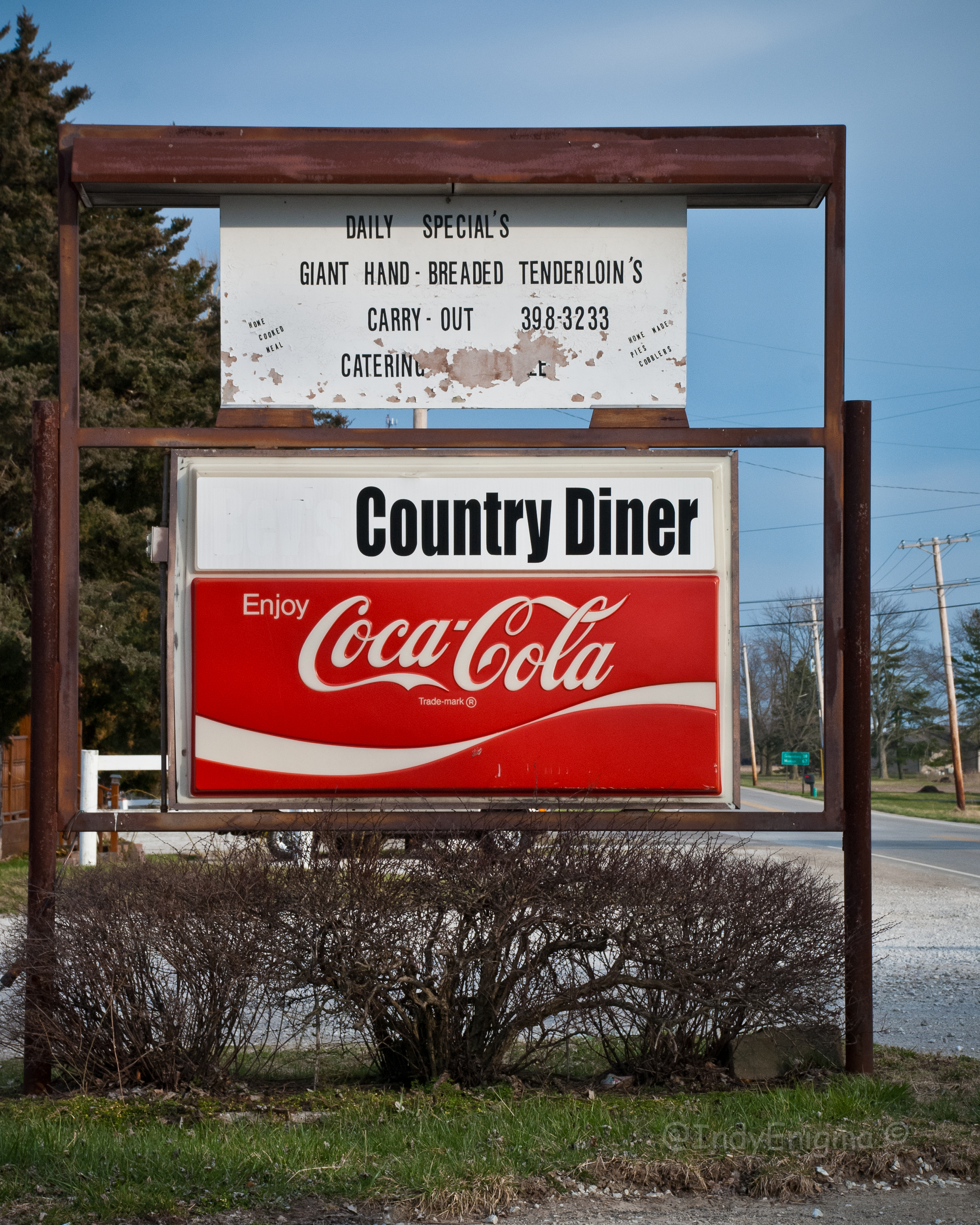
Country Diner

finally made it to Shelbyville in daylight...

St. Vincent De Paul Catholic Church 4
Street view
Saint Joseph Catholic Church
yes... framed this way on purpose...

St. Vincent De Paul Catholic Church 3
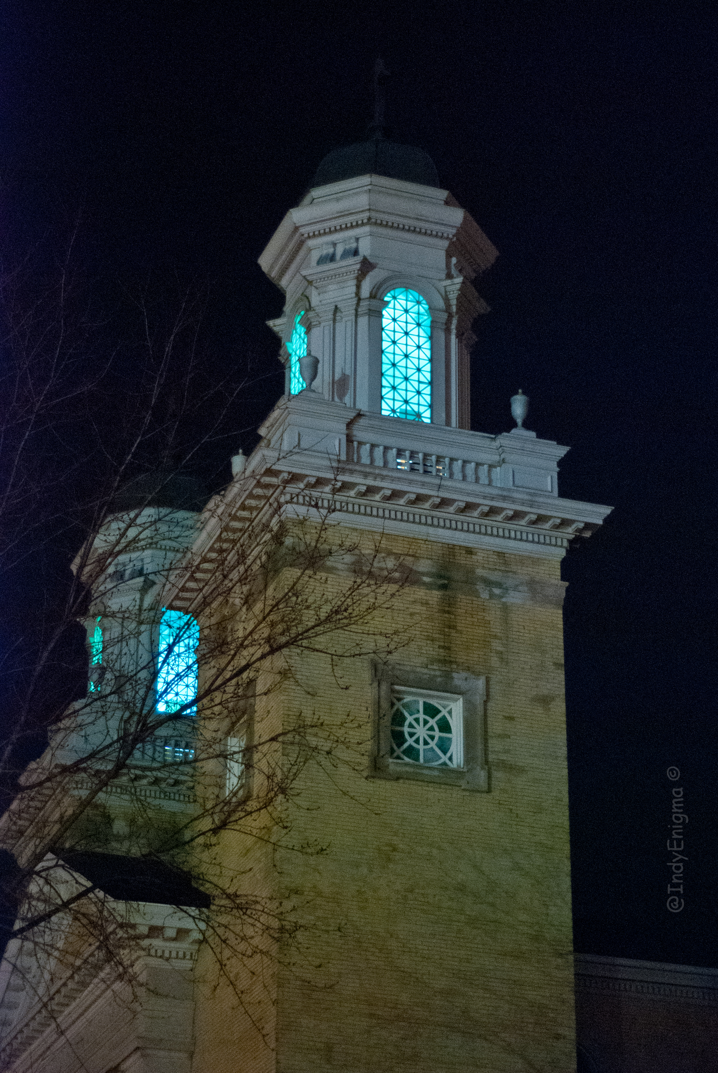
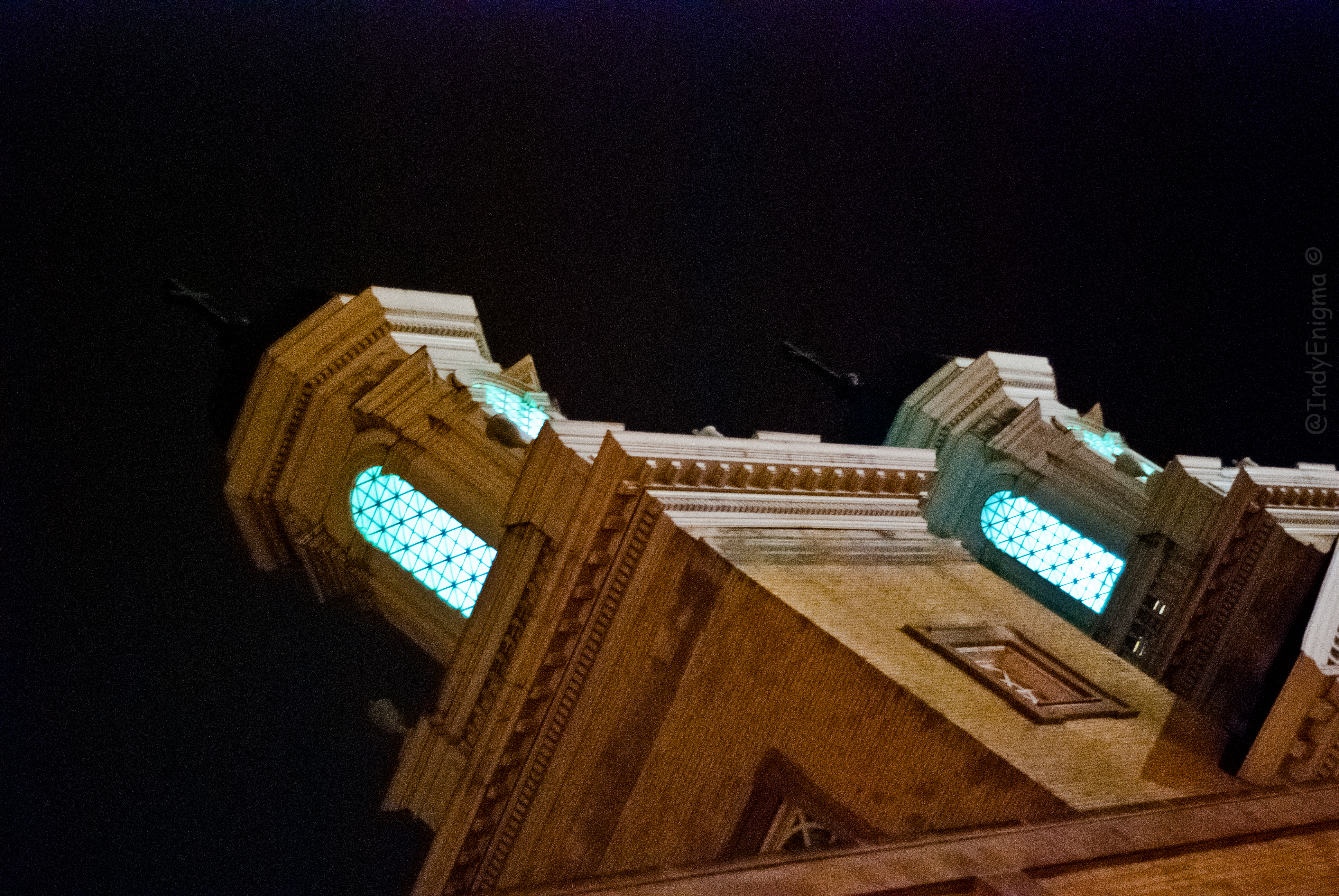
nighttime double
Bottom Of The Hill

nighttime spire, B & W

St. Vincent De Paul Catholic Church 1
Seeing Double

Hope Moravian Cemetery

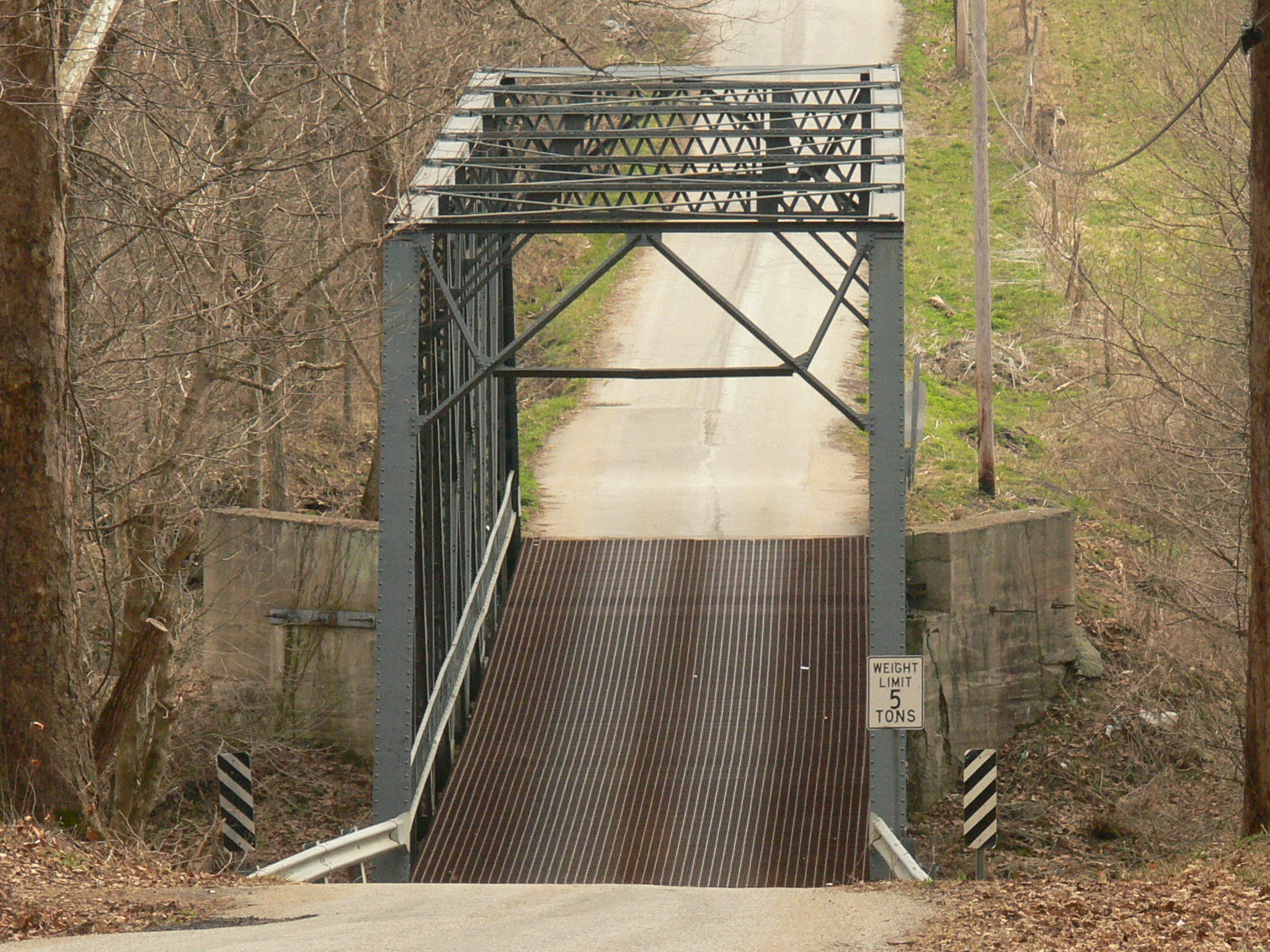
093.JPG

056.JPG
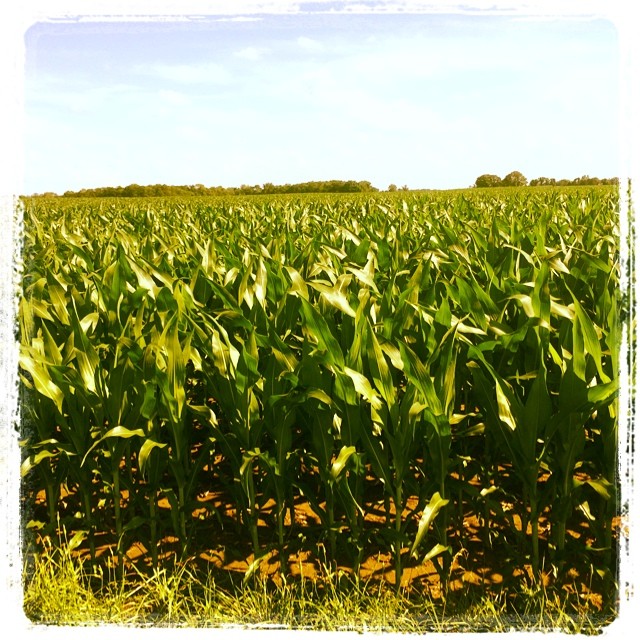
Corn anyone? Children of the Corn =))
Calm Before the Storm
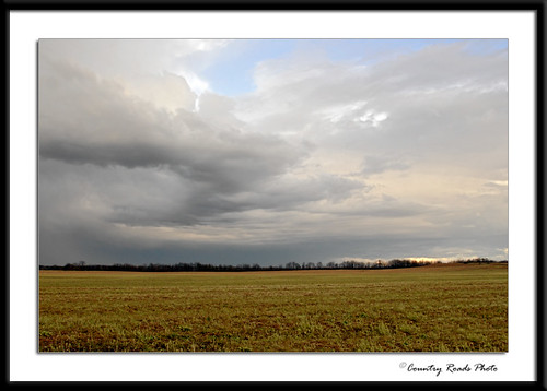
Evening Storm

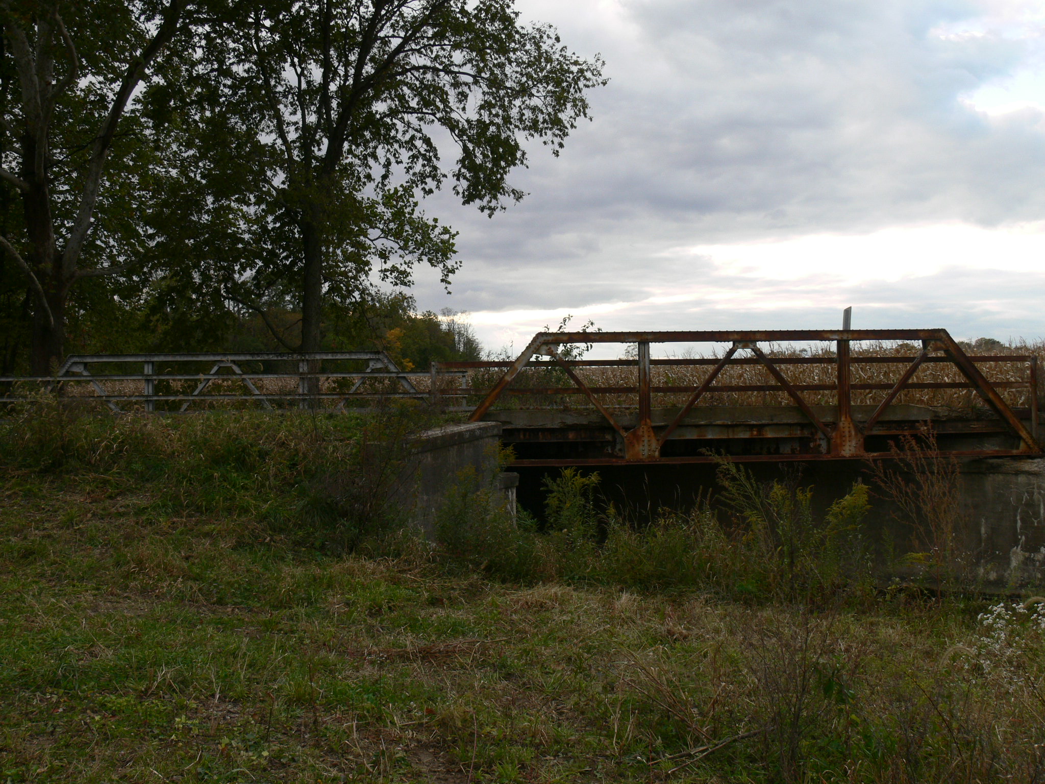
082.JPG

Red Door

081.JPG

016.JPG

066.JPG
20060101-114352
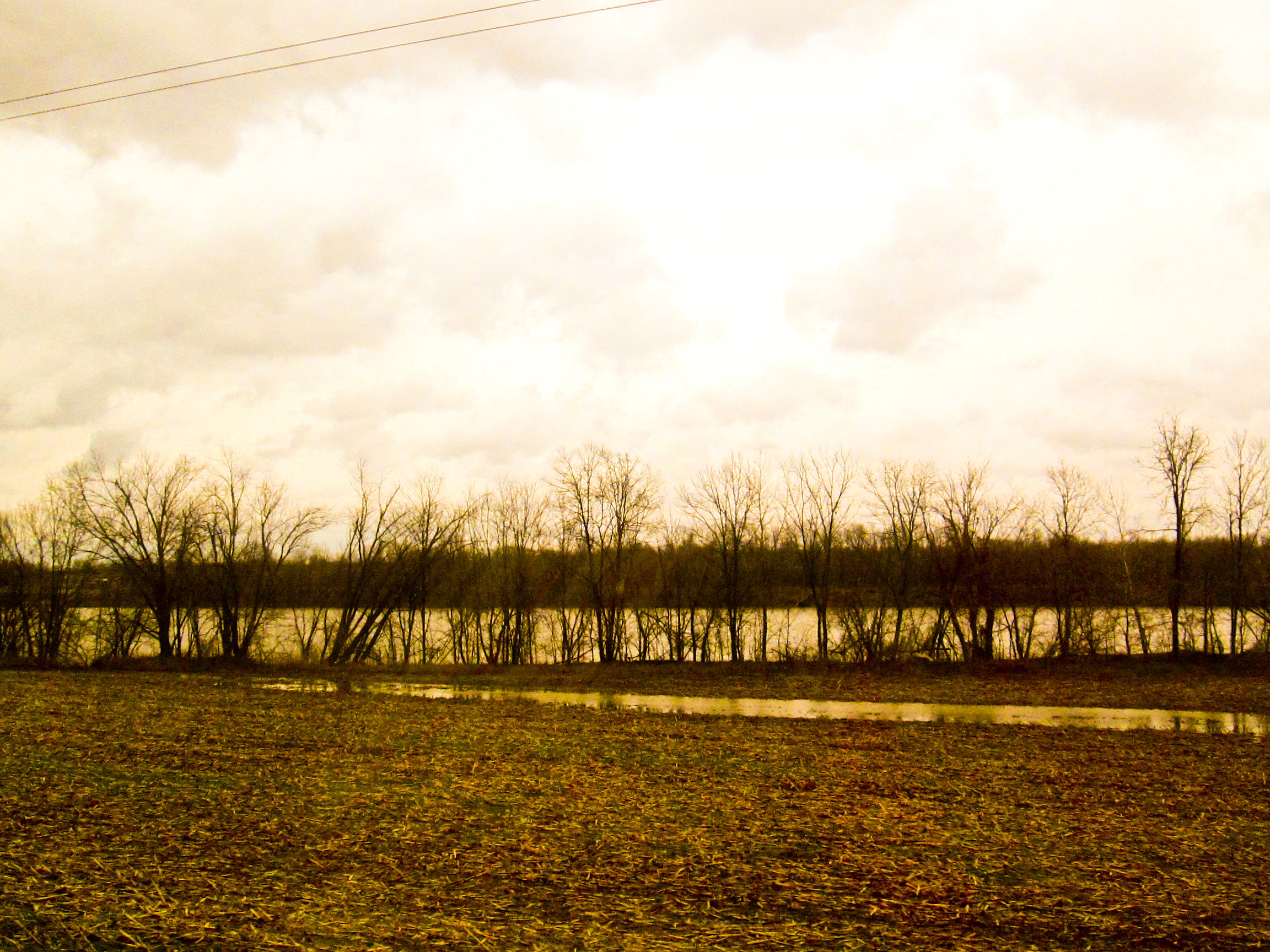
shore of the ohio

20100403-111602

Ohhhh yeah
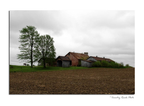
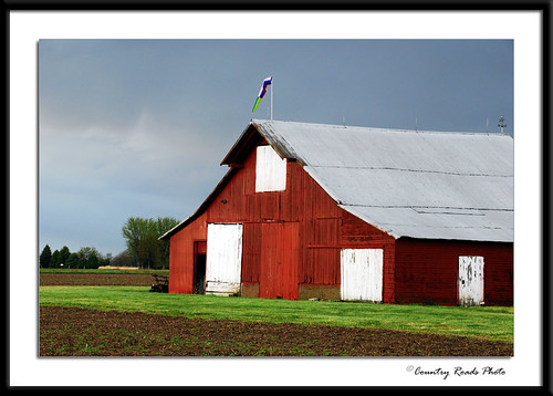
Old Buildings
Spring Clouds
20031231-142522
20041204-110256
Columbus-Greensburg 009

Purple Fields
Topographic Map of Washington Township, IN, USA
Find elevation by address:

Places in Washington Township, IN, USA:
Places near Washington Township, IN, USA:
W S, Flat Rock, IN, USA
S Columbus Rd, Shelbyville, IN, USA
Shelby Township
S Cemetery Rd, Shelbyville, IN, USA
2795 Dylan Dr
S Marietta Rd, Shelbyville, IN, USA
Dylan Drive
1212 Hickory Ln
1425 Canterbury Dr
Shelby County
479 Teal St
Hendricks Township
4223 S Shelby 750 W
Cardinal Ln, Shelbyville, IN, USA
6577 E 250 S
Blue River Township
E S, Franklin, IN, USA
Needham Township
E Cr N, Franklin, IN, USA
E Urmeyville Rd, Franklin, IN, USA
Recent Searches:
- Elevation of Congressional Dr, Stevensville, MD, USA
- Elevation of Bellview Rd, McLean, VA, USA
- Elevation of Stage Island Rd, Chatham, MA, USA
- Elevation of Shibuya Scramble Crossing, 21 Udagawacho, Shibuya City, Tokyo -, Japan
- Elevation of Jadagoniai, Kaunas District Municipality, Lithuania
- Elevation of Pagonija rock, Kranto 7-oji g. 8"N, Kaunas, Lithuania
- Elevation of Co Rd 87, Jamestown, CO, USA
- Elevation of Tenjo, Cundinamarca, Colombia
- Elevation of Côte-des-Neiges, Montreal, QC H4A 3J6, Canada
- Elevation of Bobcat Dr, Helena, MT, USA