Elevation of Flat Rock, IN, USA
Location: United States > Indiana > Shelby County > Washington Township >
Longitude: -85.830349
Latitude: 39.3632915
Elevation: 210m / 689feet
Barometric Pressure: 99KPa
Elevation Map:
Satellite Map:
Related Photos:

Autumn Glow

A Time to Reflect

Seldom Seen
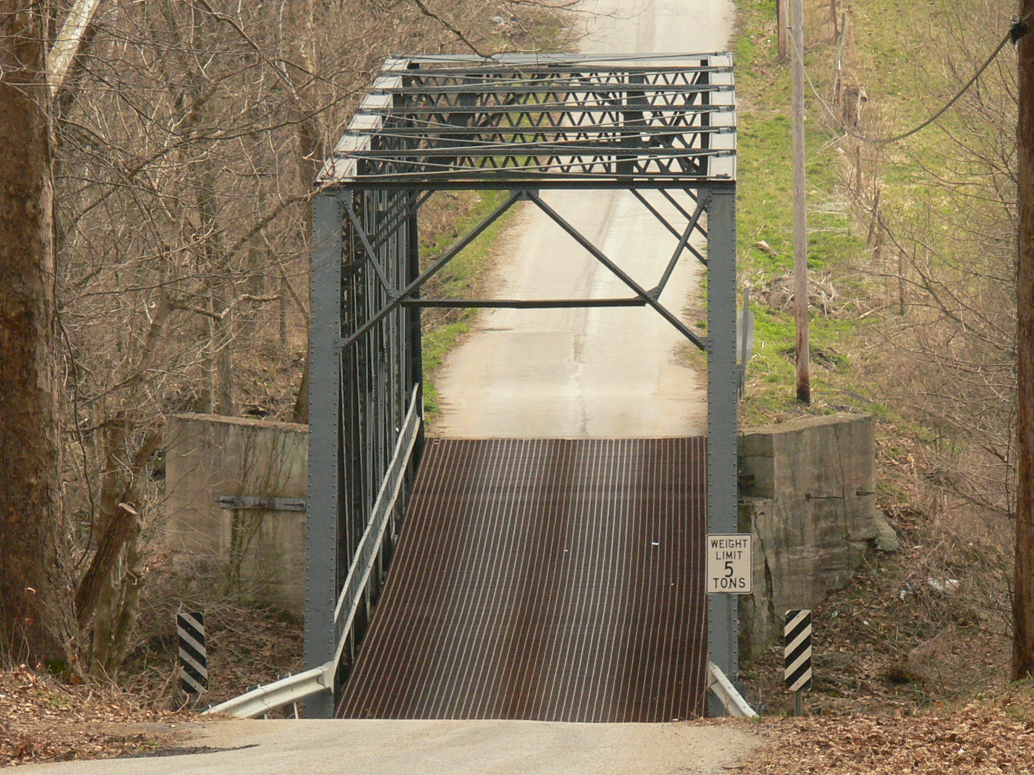
Bottom Of The Hill

Red Chevy Truck
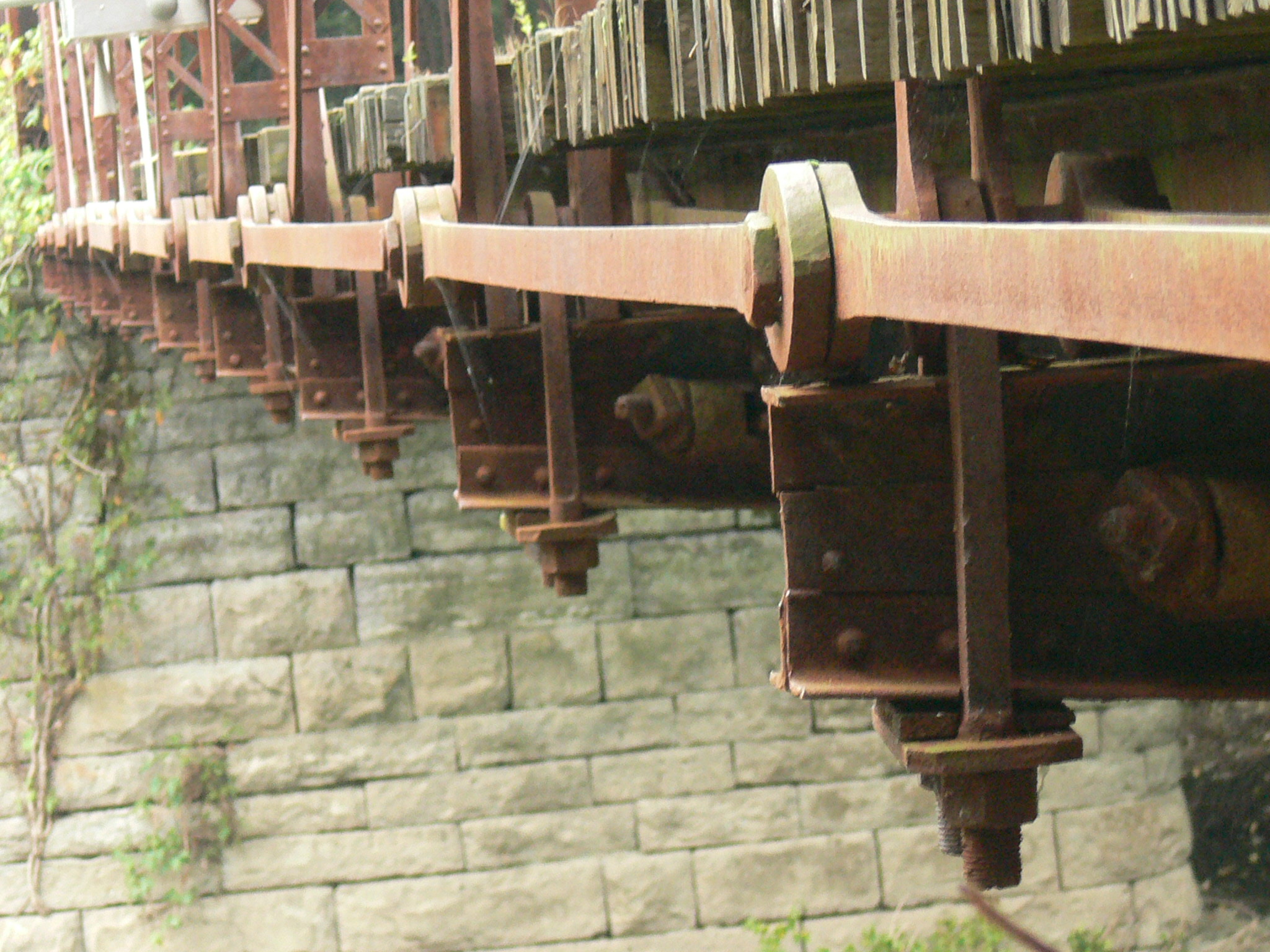
Eyebar Infinity
Seeing Double

Snowy Red barn

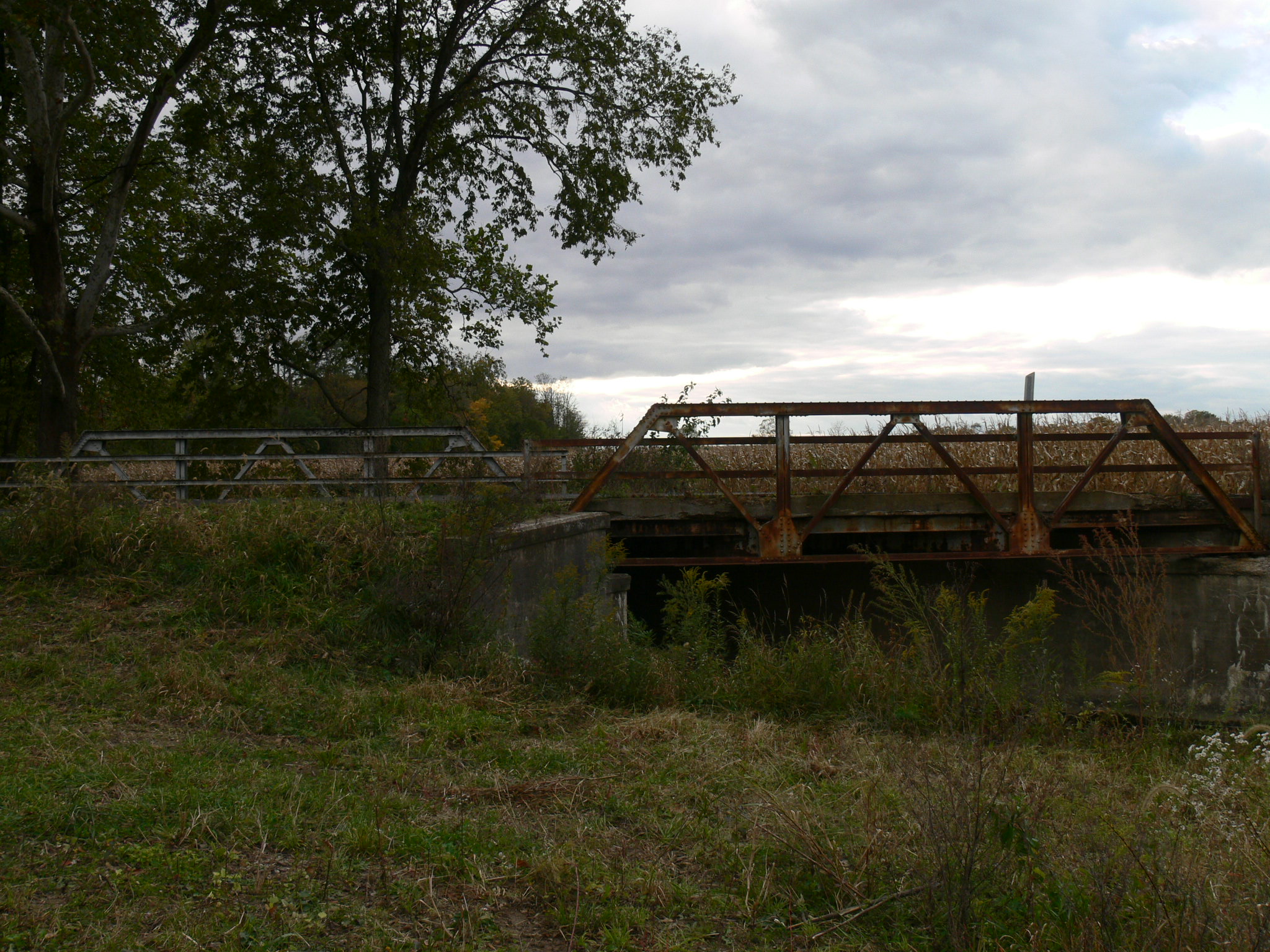
The long view

Time of Change

Hope Moravian Cemetery

093.JPG

056.JPG

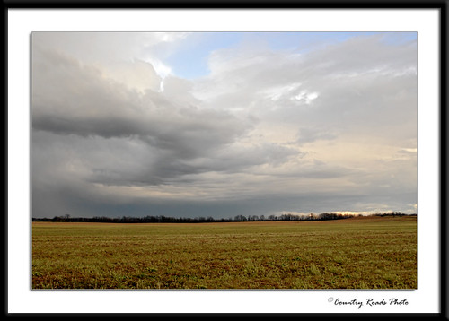
Calm Before the Storm

White Barn at Sunset
Evening Storm

082.JPG

River's End

Red Door

Spring Trees

081.JPG

016.JPG

066.JPG

20060101-114352

20100403-111602
October Morning
Topographic Map of Flat Rock, IN, USA
Find elevation by address:

Places in Flat Rock, IN, USA:
Places near Flat Rock, IN, USA:
Henry Breeding Farm
German Township
outlets Dr, Edinburgh, IN, USA
Edinburgh
3259 Queensbury Dr
4409 Kestrel Ct
W Compton Dr, Edinburgh, IN, USA
Griffa Ave, Columbus, IN, USA
1432 Audubon Dr
W Northgate Dr, Columbus, IN, USA
3632 Washington St
1849 Clover Ct
2741 Tipton Ct
2741 Tipton Ct
3184 Washington St
3020 Washington St
2706 Washington St
Bartholomew County
1828 California St
316 Flatrock Dr
Recent Searches:
- Elevation of Congressional Dr, Stevensville, MD, USA
- Elevation of Bellview Rd, McLean, VA, USA
- Elevation of Stage Island Rd, Chatham, MA, USA
- Elevation of Shibuya Scramble Crossing, 21 Udagawacho, Shibuya City, Tokyo -, Japan
- Elevation of Jadagoniai, Kaunas District Municipality, Lithuania
- Elevation of Pagonija rock, Kranto 7-oji g. 8"N, Kaunas, Lithuania
- Elevation of Co Rd 87, Jamestown, CO, USA
- Elevation of Tenjo, Cundinamarca, Colombia
- Elevation of Côte-des-Neiges, Montreal, QC H4A 3J6, Canada
- Elevation of Bobcat Dr, Helena, MT, USA