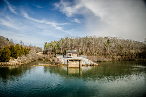
Elevation of S Main St, Anderson, SC, USA

Location: United States > South Carolina > Anderson County > Homeland Park >

Longitude: -82.666552

Latitude: 34.4523889

Elevation: 242m / 794feet

Barometric Pressure: 98KPa

Elevation Map:

elevation map of S Main St, Anderson, SC, USA

Satellite Map:

Satellite map of S Main St, Anderson, SC, USA

Related Photos:

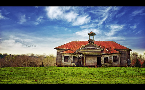
wood old school house green abandoned broken grass rural vintage post decay south rustic down olympus historic explore carolina torn prairie process friday schoolhouse frontpage edit e510 nonhdr evanleavitt isayx3 weeathered
The Broken
graywolfx47
113-365-2011
car lego derby schwarz fao
LEGO Classic Derby Car Rear View
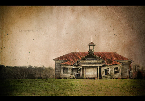
county wood old school texture abandoned sc rural education darkness state decay south rustic poor down olympus historic system falling anderson cupola carolina learning weathered schoolhouse shiloh hdr starr the e510 photomatix of
Decaying Education
heart lego mosaic lenticular
LEGO Lenticular Heart
Better View of Tap
graywolfx47
114-365-2011
square squareformat mayfair iphoneography instagramapp uploaded:by=instagram foursquare:venue=4bbf8afdf8219c742d29b010
My view right now. #baseball #littleleague #summer
graywolfx47
27-July-28/365/2011
Another view
square squareformat iphoneography instagramapp uploaded:by=instagram
Here's a cool view of the entry to the Fuse youth building at @newspring_church during my visit for the leadership conference Thursday. #architecture #design
View from the top of the ferris wheel.
uploaded:by=flickrmobile flickriosapp:filter=nofilter
LEGO Brick Built Rugged Mountain- Lone Ranger Inspired- Complete
us unitedstates southcarolina starr bankheadhighway us29 hollandstore oldus29
Bankhead Highway through South Carolina-152
square squareformat rise iphoneography instagramapp uploaded:by=instagram
Hartwell morning.
Fahrt nach Charlotte 17.09.2010
southernstates uploaded:by=flickrmobile flickriosapp:filter=peacock peacockfilter
Railroad...
square squareformat amaro iphoneography instagramapp uploaded:by=instagram
Looks like the supposed snowstorm is rolling in.
anchorpoint uploaded:by=flickrmobile flickriosapp:filter=nofilter
SC Christmas Vacation 2012
anchorpoint uploaded:by=flickrmobile flickriosapp:filter=nofilter
SC Christmas Vacation 2012
sunset sky nature beautiful clouds sunrise landscape photography countryside iphone vsco iphone4s ripestarphotography uploaded:by=flickrmobile flickriosapp:filter=nofilter tyrikuscunningham glenviewmiddleschool
Countryside Sunsets
uploaded:by=flickrmobile flickriosapp:filter=toucan toucanfilter
Rise above the land...
square squareformat mayfair iphoneography instagramapp uploaded:by=instagram
Sky fires.
square lofi squareformat iphoneography instagramapp uploaded:by=instagram foursquare:venue=4c000a1edaf9c9b66a29fbef
A little brisk out here. #Hartwell
anchorpoint uploaded:by=flickrmobile flickriosapp:filter=nofilter
SC Christmas Vacation 2012
church cemetery us unitedstates southcarolina anderson ebenezermethodistchurch saylorscrossroads
Ebenezer Methodist Church and Cemetery-004
us unitedstates southcarolina starr bankheadhighway us29 oldus29
Bankhead Highway through South Carolina-248
square squareformat iphoneography instagramapp uploaded:by=instagram
Texture of morning... One of the wonderful pleasures of camping. #BSA #blackandwhite #bnw #bw #shotoniphone6 #sunrise #nature #woods #forest #blueridgecouncil #camping
us unitedstates southcarolina starr bankheadhighway us29 hollandstore oldus29
Bankhead Highway through South Carolina-160
storm clouds space odc respite afnikkor50mmf18d ourdailychallenge
178:365 passing over
us unitedstates southcarolina anderson springpark
Parkers Ferry - Old 181 Bridge-015
square squareformat iphoneography instagramapp uploaded:by=instagram
It's like the opening of Flash Gordon