Elevation of Sapphire Point, Anderson, SC, USA
Location: United States > South Carolina > Anderson County > Anderson >
Longitude: -82.851531
Latitude: 34.437631
Elevation: 209m / 686feet
Barometric Pressure: 99KPa
Elevation Map:
Satellite Map:
Related Photos:

The Broken

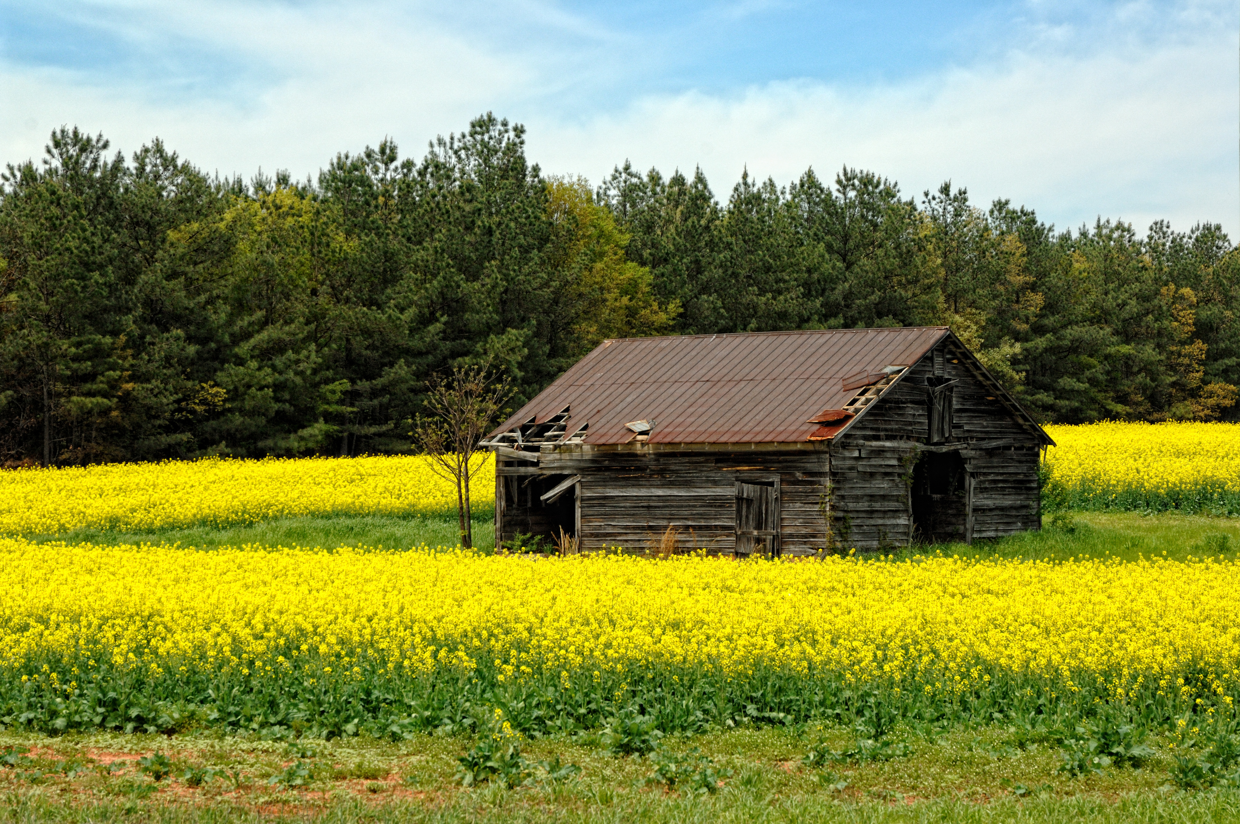
Decaying Education

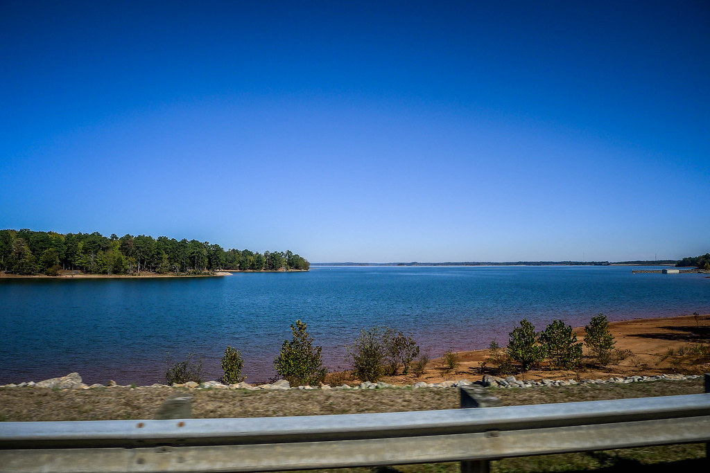
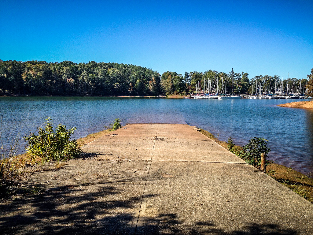
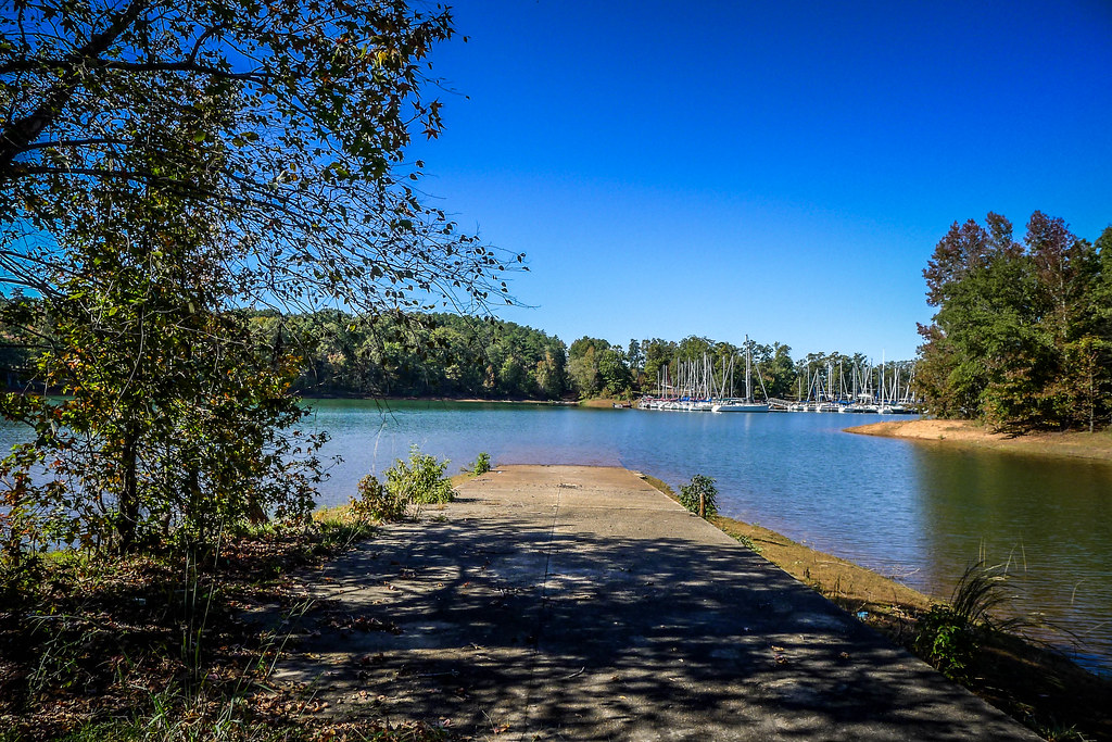
Sunset at Hartwell Lake

Another Dam Bench Monday
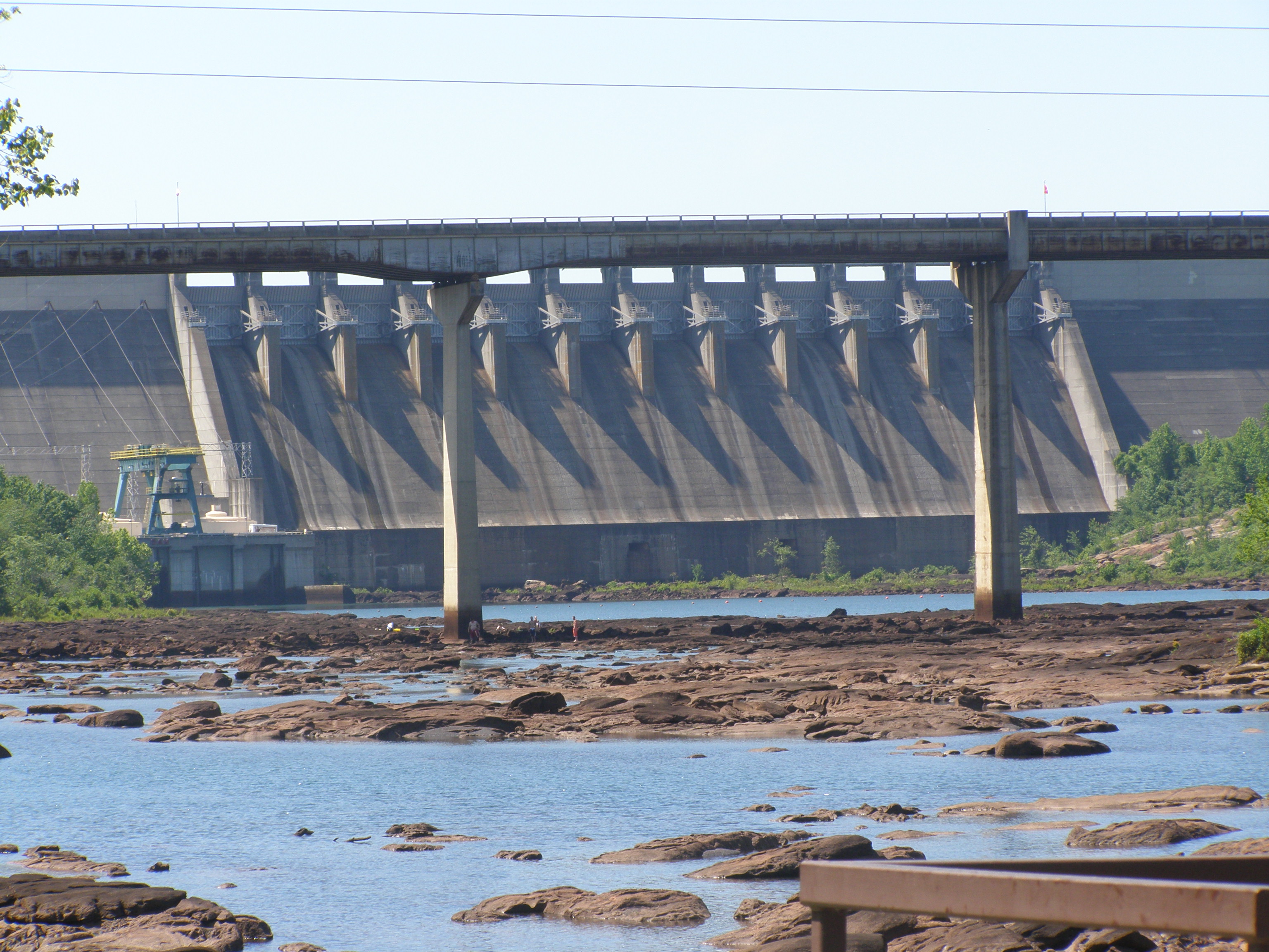
Hartwell Dam
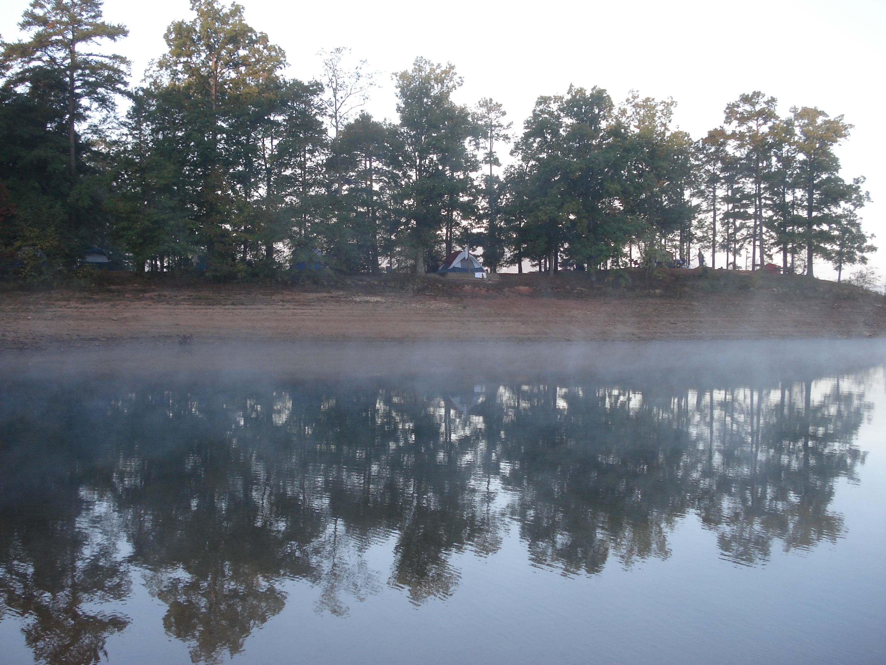
Campgrounds - Scenery
Hartwell Dam

a view from the ground

Autumn @ the lake_Painting

island at night

Late Sunset, Lake Hartwell

Day @ the lake
Order your genuine mustard seed locket as mentioned in the Old Testament

what kind of fort be you?
SC Christmas Vacation 2012

SC Christmas Vacation 2012
Rise above the land...

A little brisk out here. #Hartwell

SC Christmas Vacation 2012
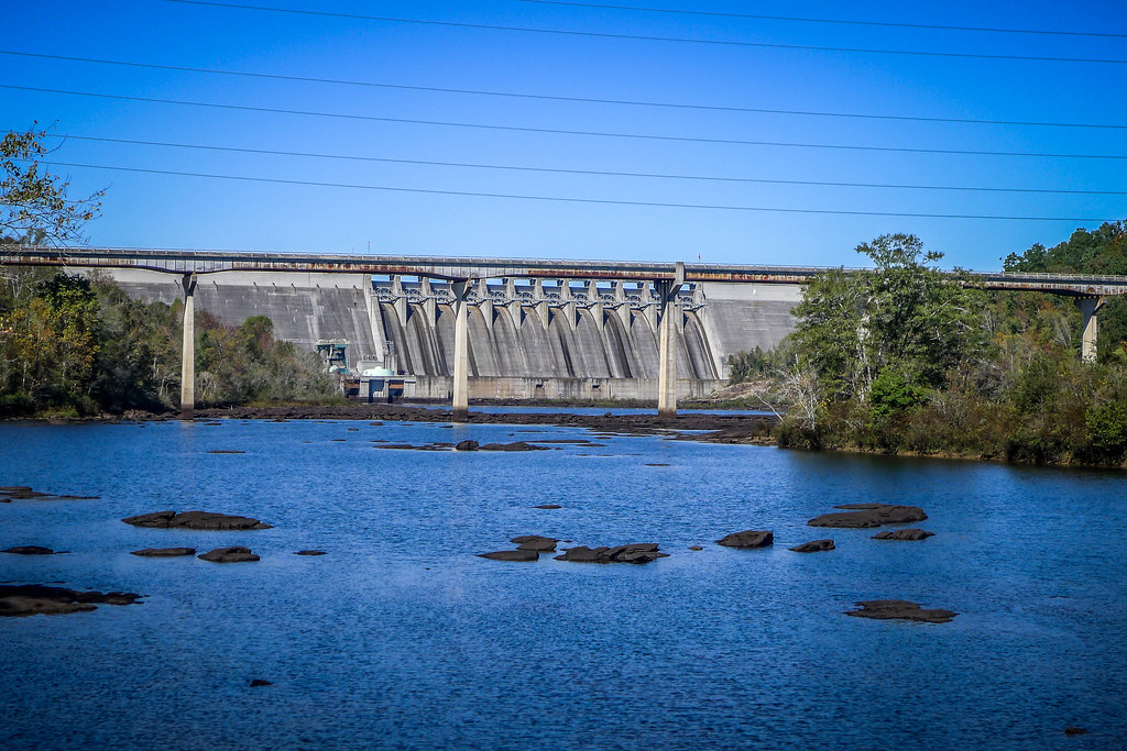
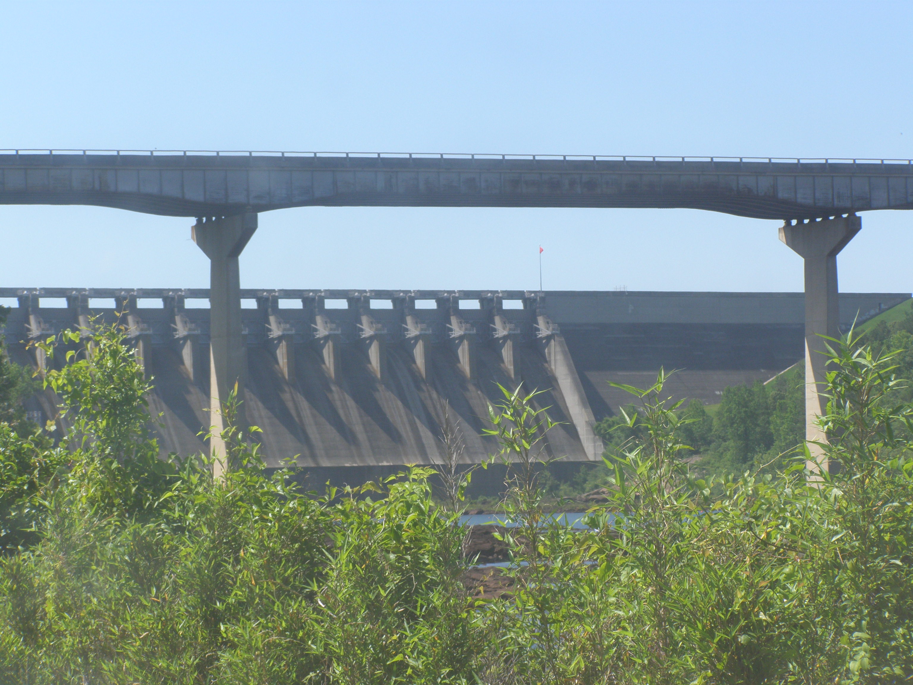
Hartwell Dam and Savannah River Bridge-003
Bankhead Highway through South Carolina-174
Bankhead Highway through South Carolina-248

sunrise on Lake Hartwell

IMG_6863.JPG

IMG_6881.JPG
Bankhead Highway through South Carolina-160

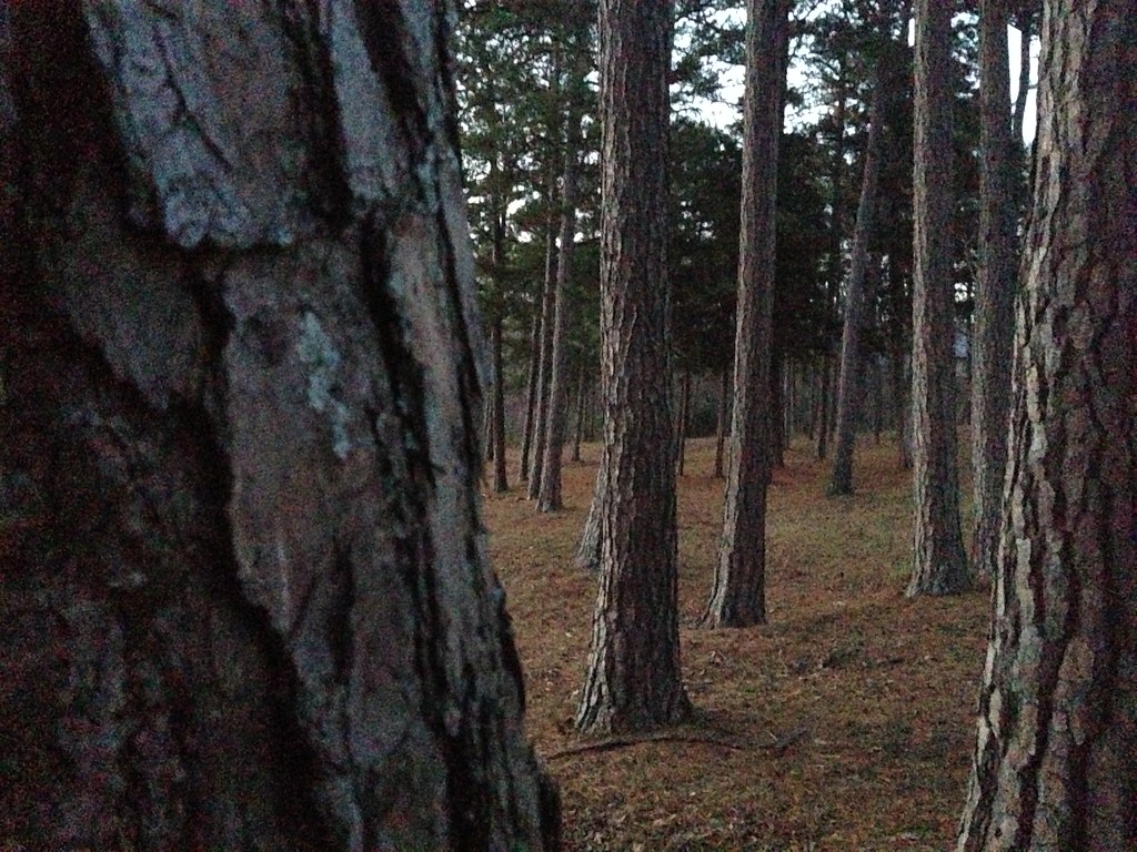
Texture of morning... One of the wonderful pleasures of camping. #BSA #blackandwhite #bnw #bw #shotoniphone6 #sunrise #nature #woods #forest #blueridgecouncil #camping
Topographic Map of Sapphire Point, Anderson, SC, USA
Find elevation by address:

Places near Sapphire Point, Anderson, SC, USA:
338 Beaver Lodge Rd
1915 Providence Church Rd
124 Hugh Dorsey Rd
9 Boleman Hill Rd, Hartwell, GA, USA
Paynes Creek Campground
Watsadler Campground
41 Nancy Heights
251 Cedar Pond Rd
251 Cedar Pond Rd
251 Cedar Pond Rd
41 Nancy Dr
41 Nancy Dr
1490 Old Beacon Light Rd
Hartwell
Hart County
Hart County
Hart County
S Main St, Anderson, SC, USA
2017 Parker Bowie Rd
W Front St, Iva, SC, USA
Recent Searches:
- Elevation of Corso Fratelli Cairoli, 35, Macerata MC, Italy
- Elevation of Tallevast Rd, Sarasota, FL, USA
- Elevation of 4th St E, Sonoma, CA, USA
- Elevation of Black Hollow Rd, Pennsdale, PA, USA
- Elevation of Oakland Ave, Williamsport, PA, USA
- Elevation of Pedrógão Grande, Portugal
- Elevation of Klee Dr, Martinsburg, WV, USA
- Elevation of Via Roma, Pieranica CR, Italy
- Elevation of Tavkvetili Mountain, Georgia
- Elevation of Hartfords Bluff Cir, Mt Pleasant, SC, USA