Elevation of Iva, SC, USA
Location: United States > South Carolina > Anderson County >
Longitude: -82.663743
Latitude: 34.3064966
Elevation: 217m / 712feet
Barometric Pressure: 99KPa
Elevation Map:
Satellite Map:
Related Photos:
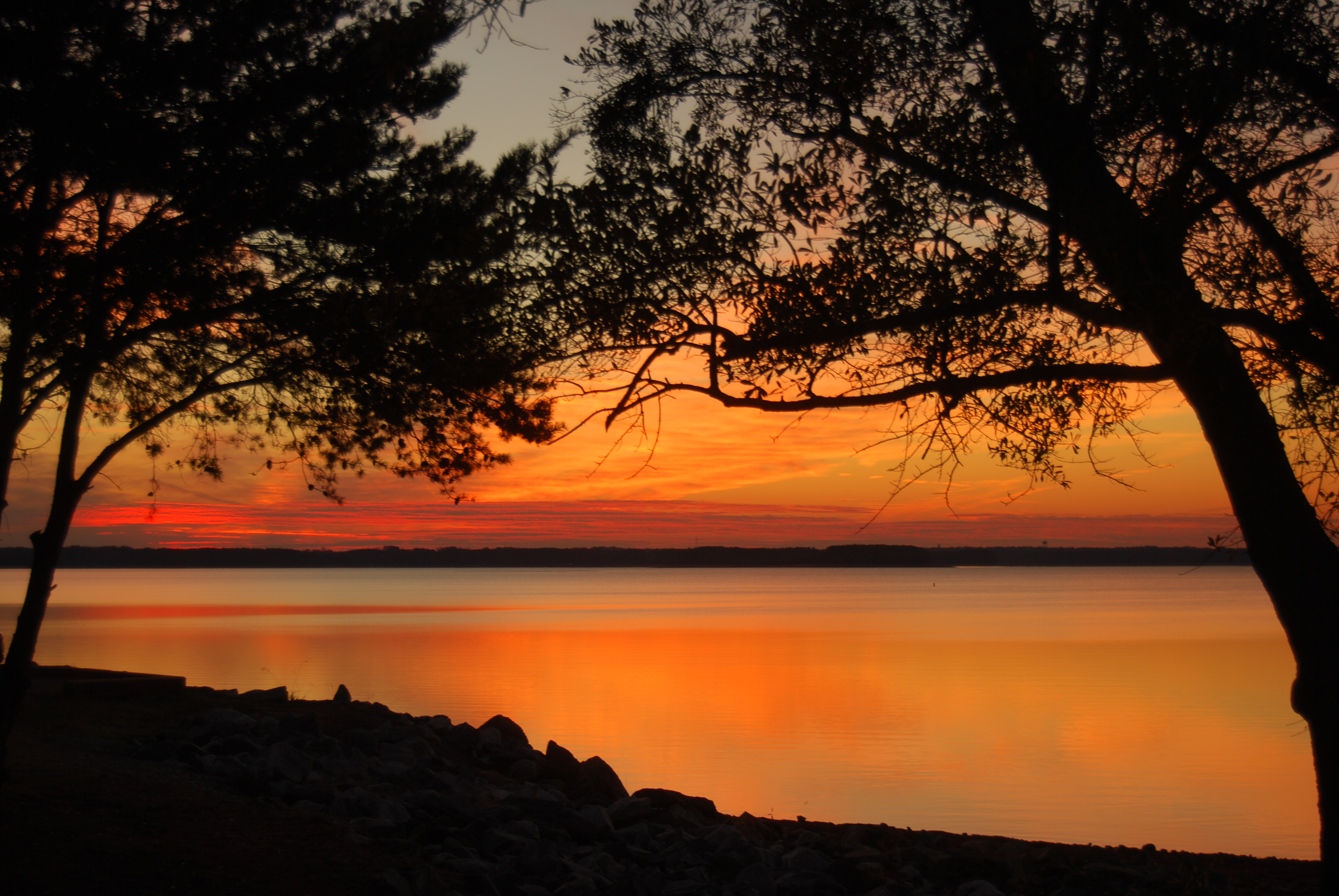
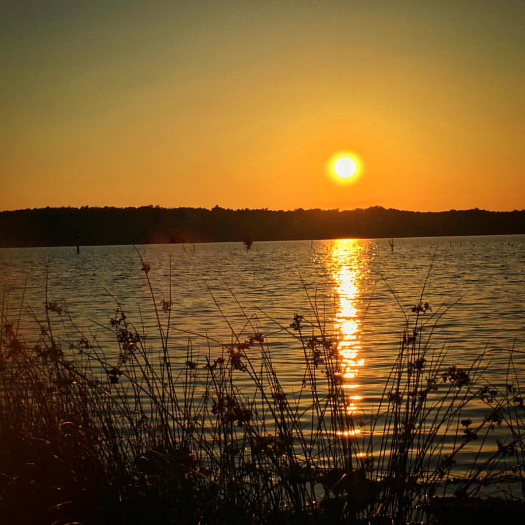
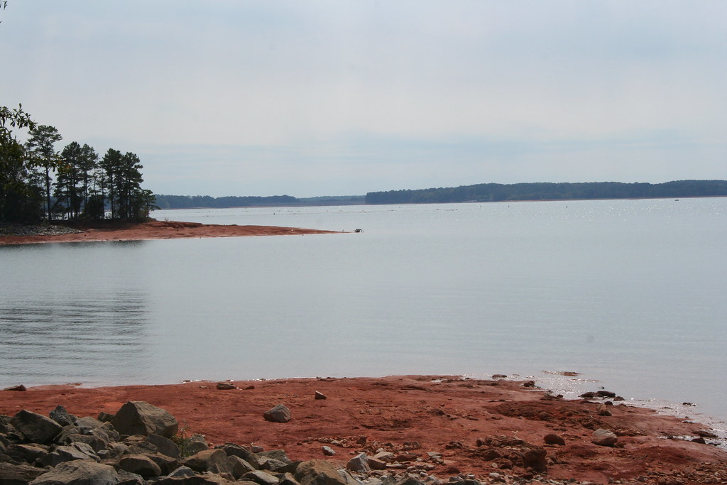
Sunset at Hartwell Lake

Decaying Education

Another Dam Bench Monday
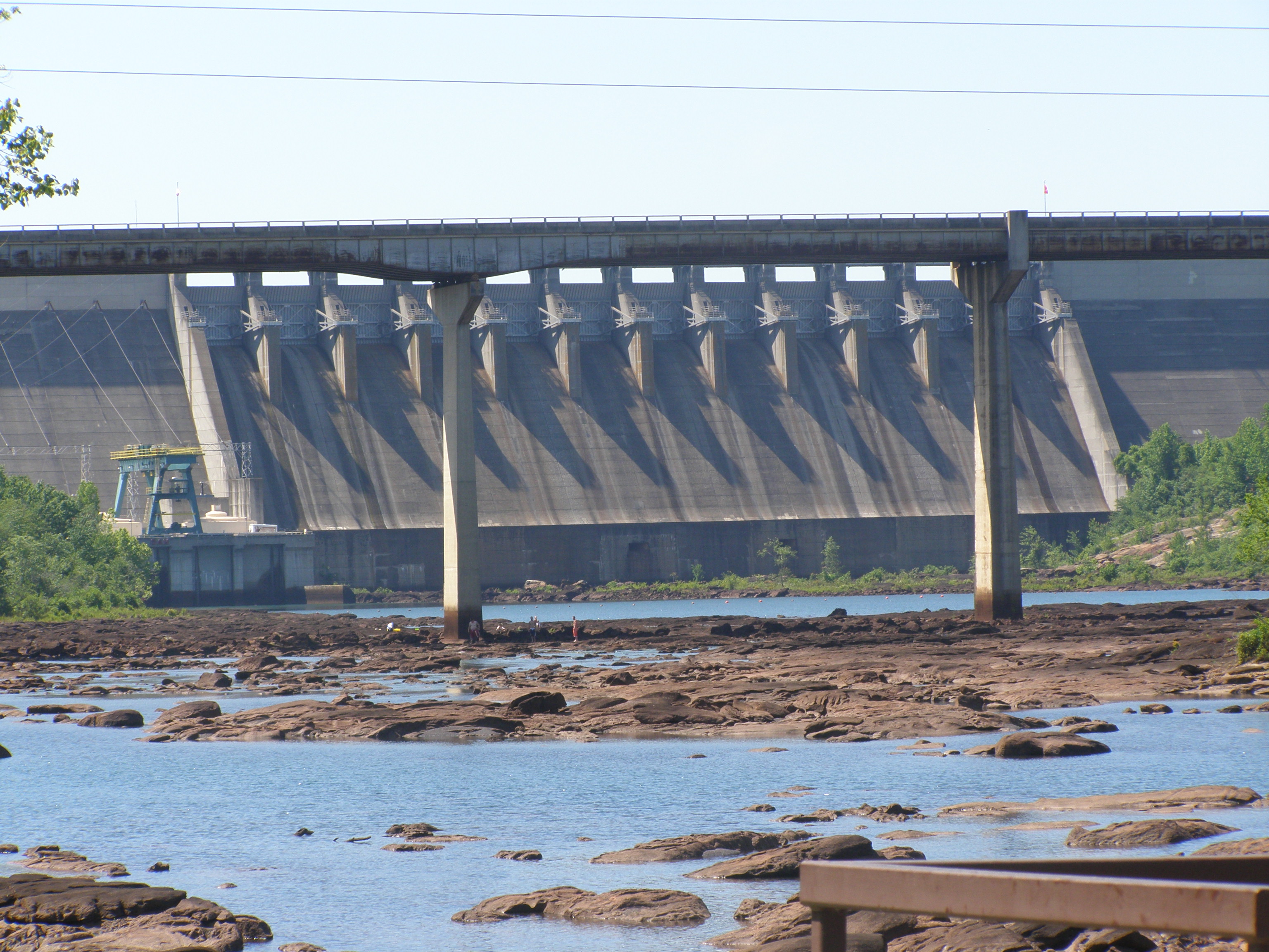
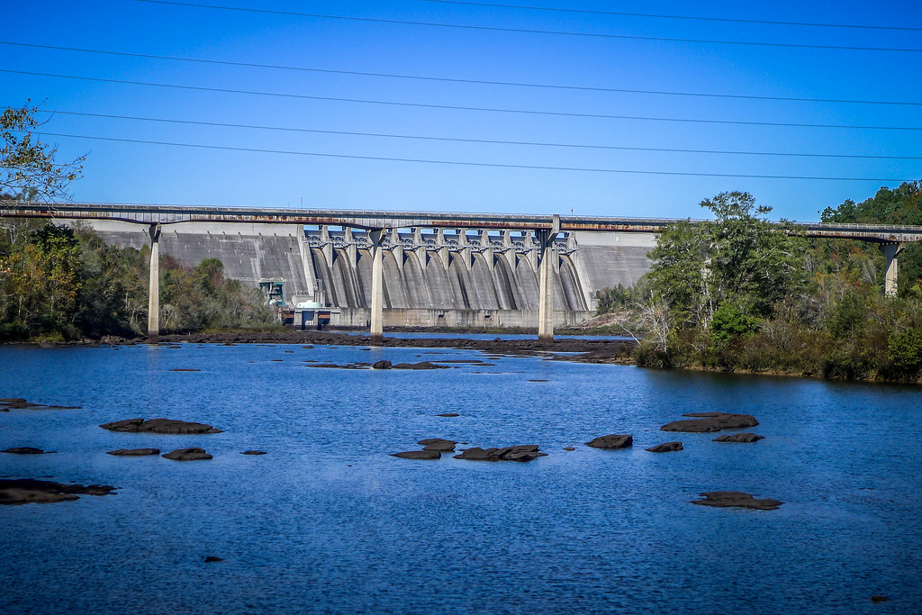
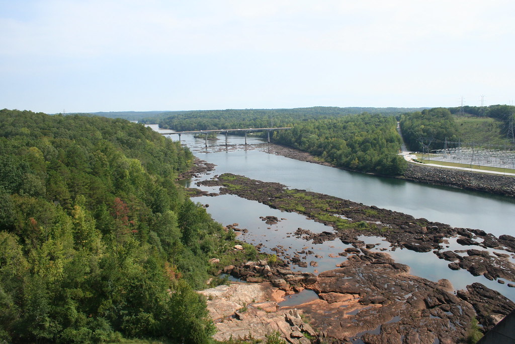
Hartwell Dam
Hartwell Dam
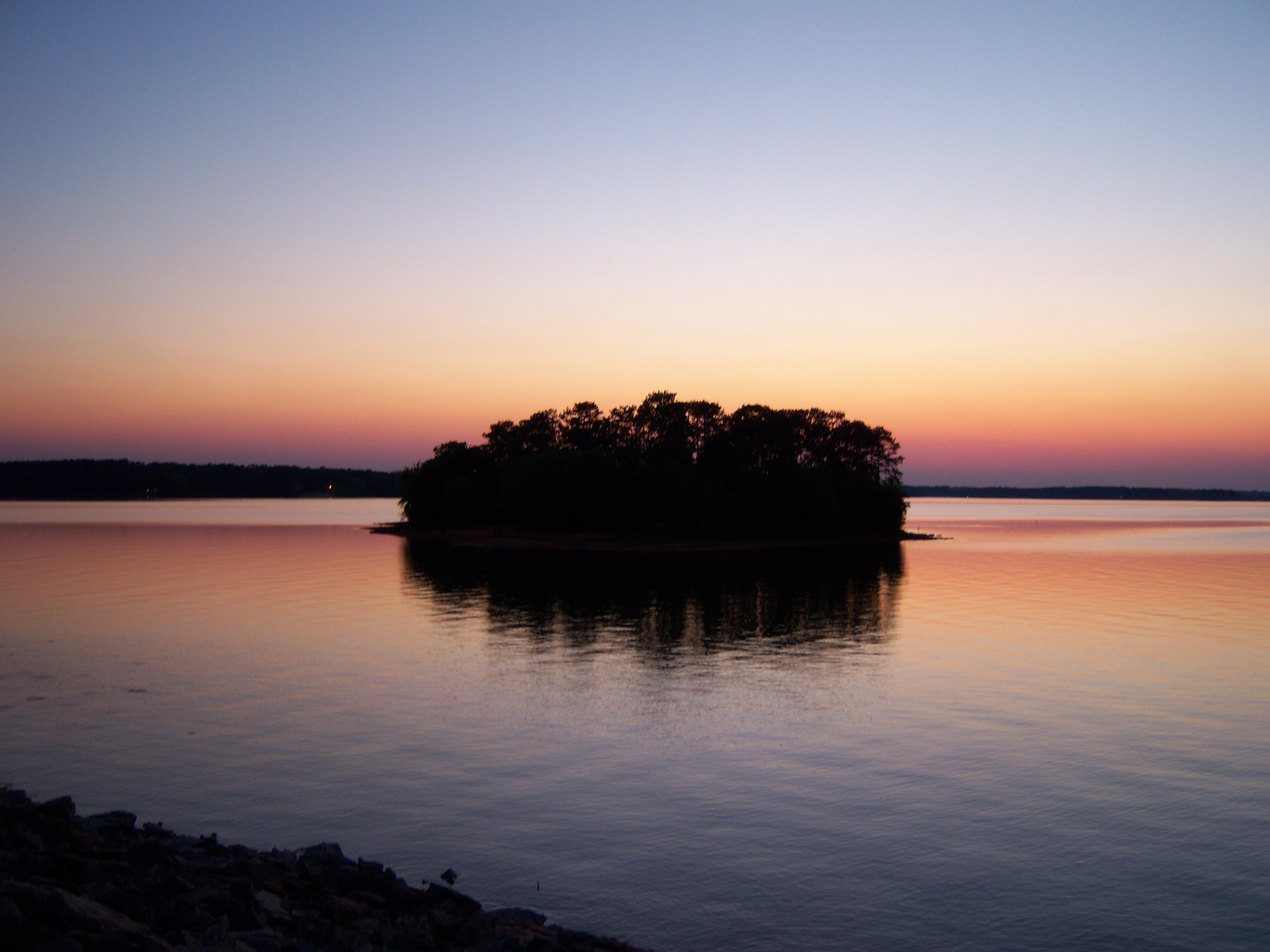
island at night
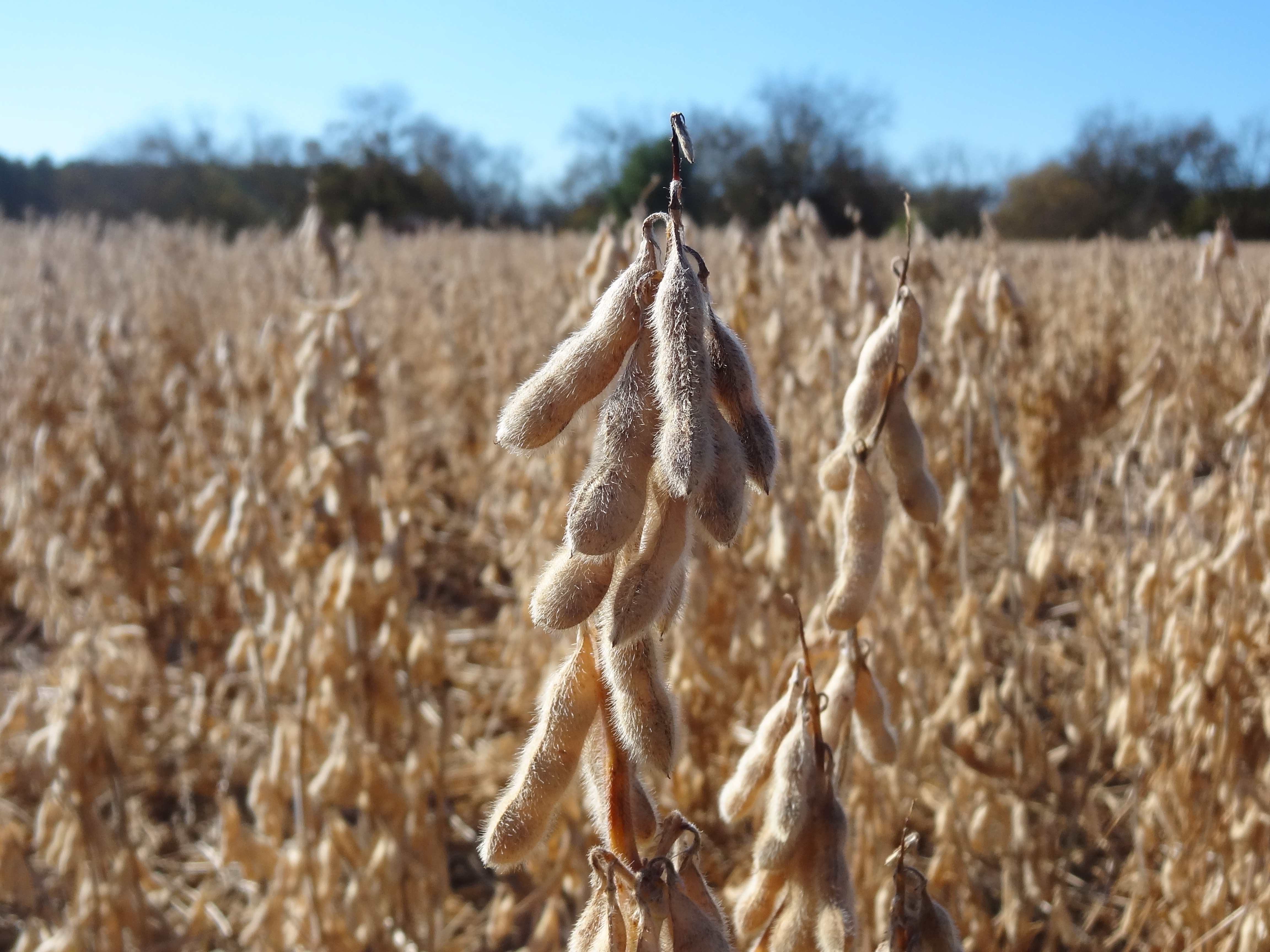
Soybean field, Abbeville Co, sooc, ready for harvest
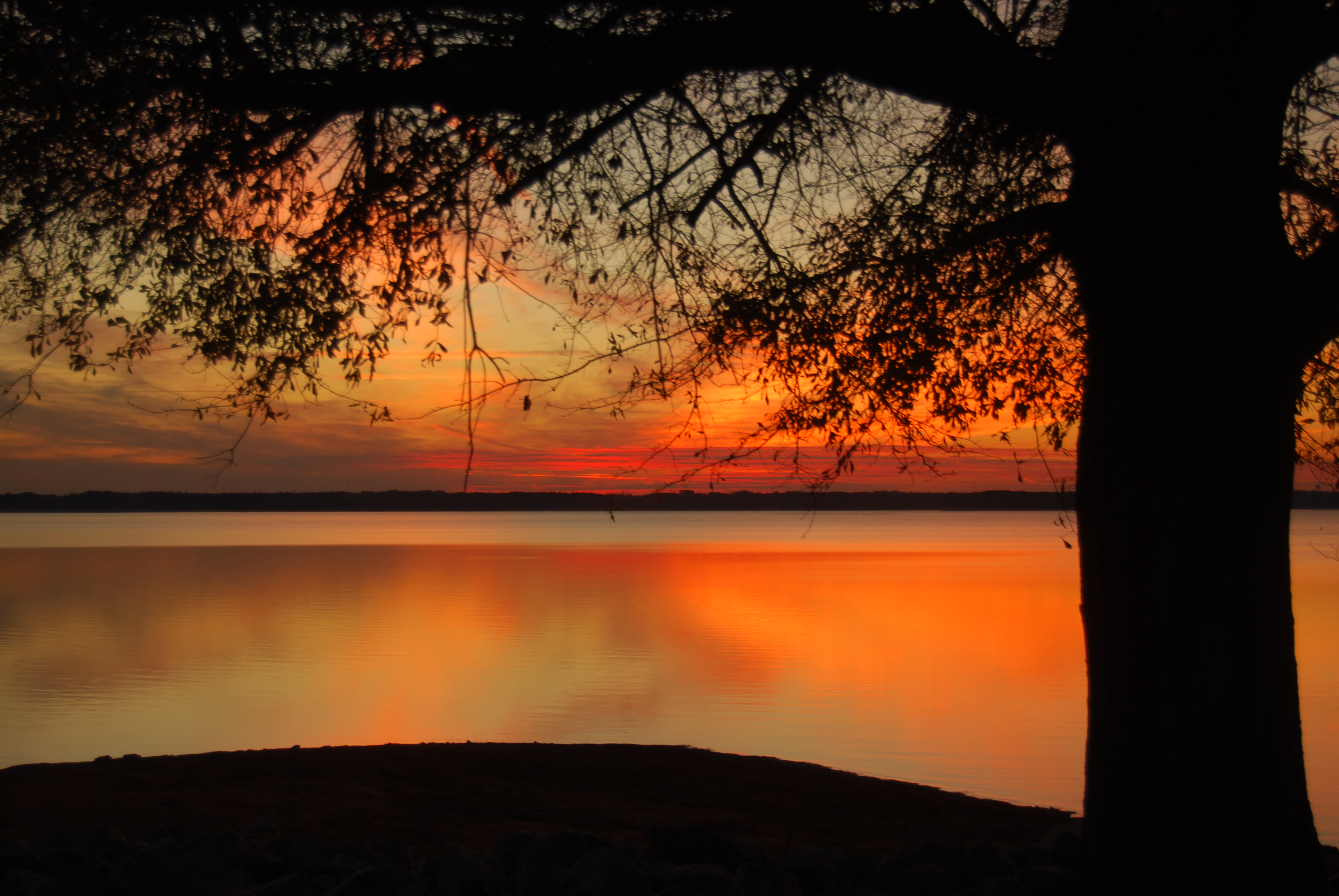
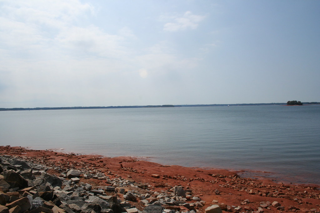
Late Sunset, Lake Hartwell
Now that Camera+ lets you control the ISO and shutter speed, there's almost no need to carry my camera anymore.

Ebenezer Methodist Church and Cemetery-004

IMG_6863.JPG

IMG_6881.JPG
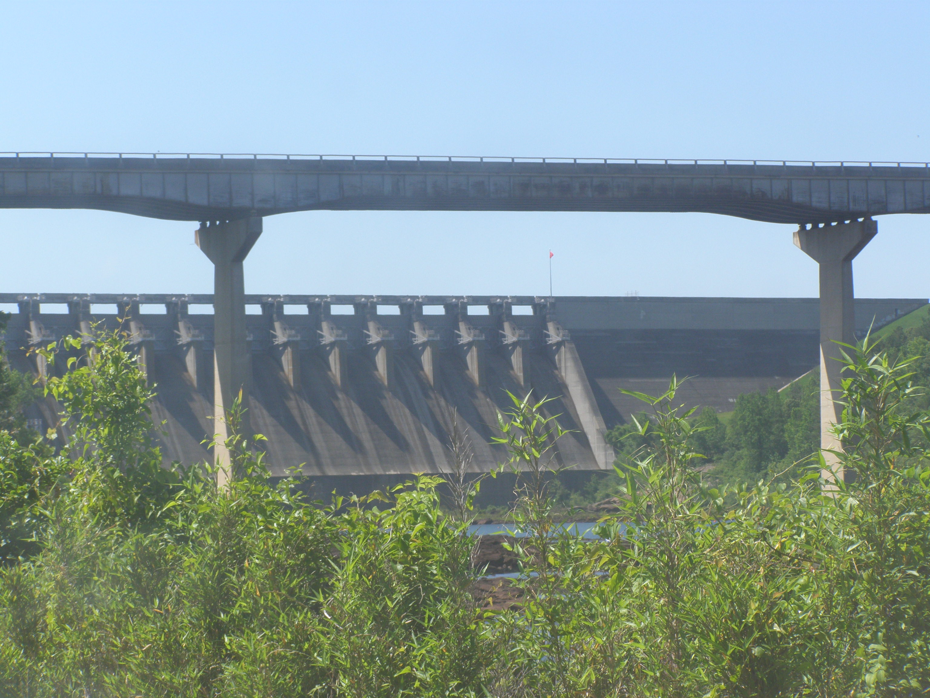
Hartwell Dam and Savannah River Bridge-003

Sunset Gradient
IMG_6862.JPG
IMG_6907.JPG
IMG_6880.JPG

Bankhead Highway through South Carolina-150
IMG_6883.JPG
IMG_6906.JPG
Bromus tectorum (Downy Brome)

IMG_6861.JPG
IMG_6888.JPG

Bankhead Highway through South Carolina-246
Rehearsal Dinner 017
Topographic Map of Iva, SC, USA
Find elevation by address:

Places in Iva, SC, USA:
Places near Iva, SC, USA:
W Front St, Iva, SC, USA
2017 Parker Bowie Rd
S Main St, Anderson, SC, USA
Watsadler Campground
1915 Providence Church Rd
Paynes Creek Campground
251 Cedar Pond Rd
251 Cedar Pond Rd
251 Cedar Pond Rd
Sapphire Point, Anderson, SC, USA
338 Beaver Lodge Rd
124 Hugh Dorsey Rd
41 Nancy Dr
41 Nancy Dr
41 Nancy Heights
Hartwell
Hart County
Hart County
Hart County
1490 Old Beacon Light Rd
Recent Searches:
- Elevation of Crocker Dr, Vacaville, CA, USA
- Elevation of Pu Ngaol Community Meeting Hall, HWHM+3X7, Krong Saen Monourom, Cambodia
- Elevation of Royal Ontario Museum, Queens Park, Toronto, ON M5S 2C6, Canada
- Elevation of Groblershoop, South Africa
- Elevation of Power Generation Enterprises | Industrial Diesel Generators, Oak Ave, Canyon Country, CA, USA
- Elevation of Chesaw Rd, Oroville, WA, USA
- Elevation of N, Mt Pleasant, UT, USA
- Elevation of 6 Rue Jules Ferry, Beausoleil, France
- Elevation of Sattva Horizon, 4JC6+G9P, Vinayak Nagar, Kattigenahalli, Bengaluru, Karnataka, India
- Elevation of Great Brook Sports, Gold Star Hwy, Groton, CT, USA