Elevation of S-35-, Bennettsville, SC, USA
Location: United States > South Carolina > Marlboro County > Bennettsville >
Longitude: -79.692368
Latitude: 34.5839023
Elevation: 43m / 141feet
Barometric Pressure: 101KPa
Elevation Map:
Satellite Map:
Related Photos:

Abandoned cotton seed mill...

Covington Fabrics Plant 1of4 Click on the image to view fullsize

Double D Motel Cabins, Marlboro County

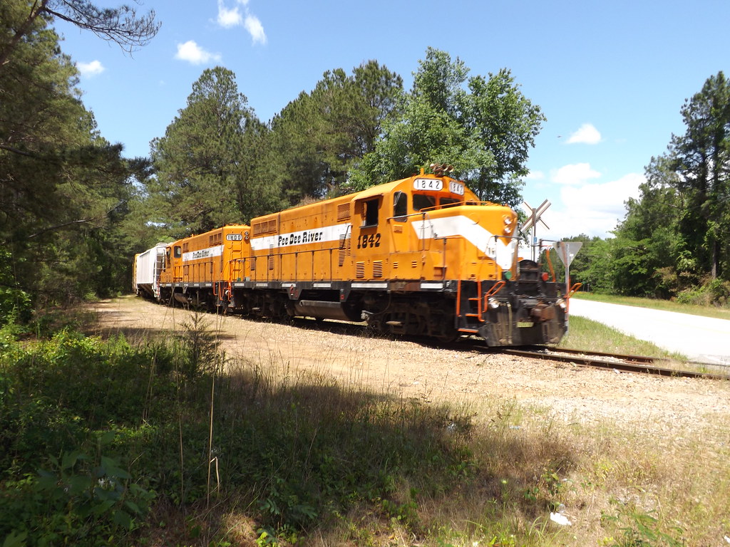
PDRR 19 at Mt Zion Church RD

PDRR 19 at Mt Zion Church RD

Serious Rust

Reflections on a windy day

Pee Dee GP16 switches at Domtar Yard

It's raining, so...
PD1 crossing Marlboro Rd.
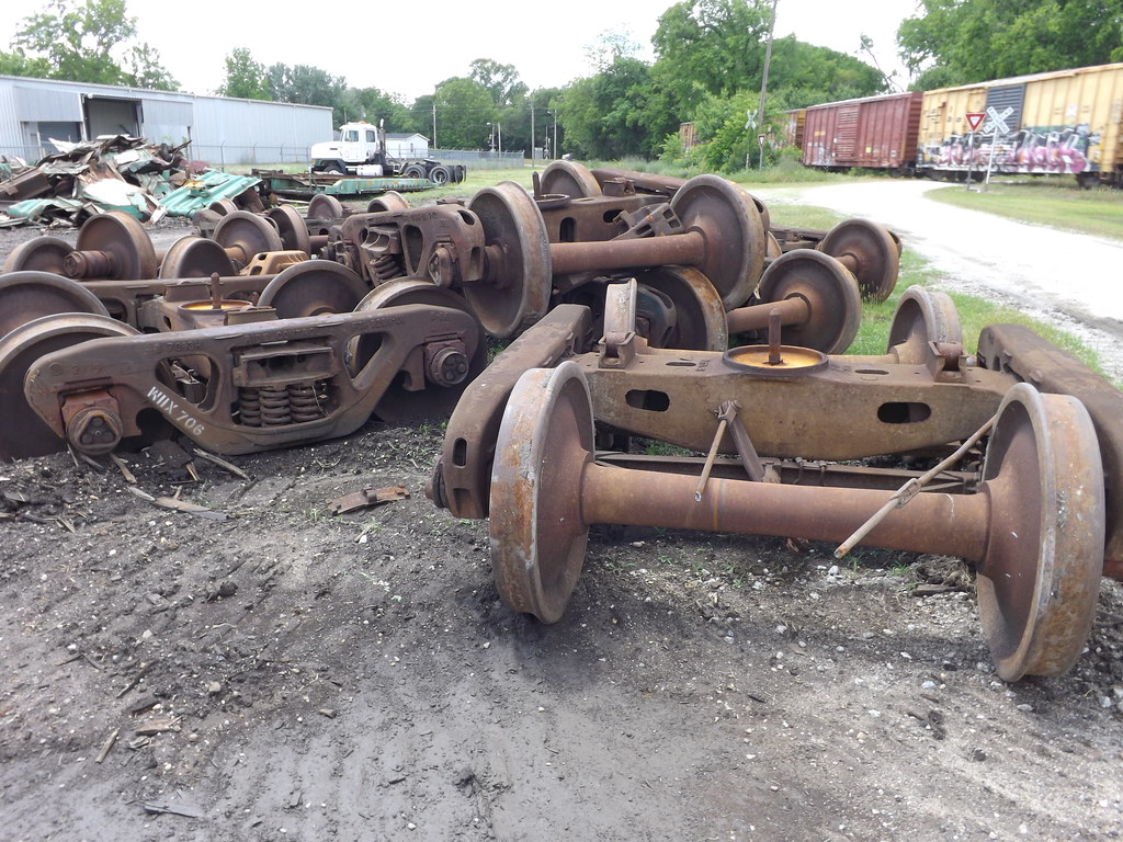
Rusty, scrapped, wheelsets

Adding power

WIIX 809, well it used to be

Former Railcars
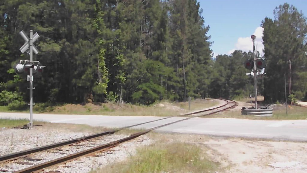
PD1 crossing Marlboro Way

PD1 comin' atcha at Domtar

PD1 switching Arauco

Pee Dee Switching

Pee Dee RR GP16's

PD1 sits close to the engine house

PD1 switching Domtar Yard

Heading for McColl

Reversing at Tatum

Tatum South Carolina

Through the Sandhills
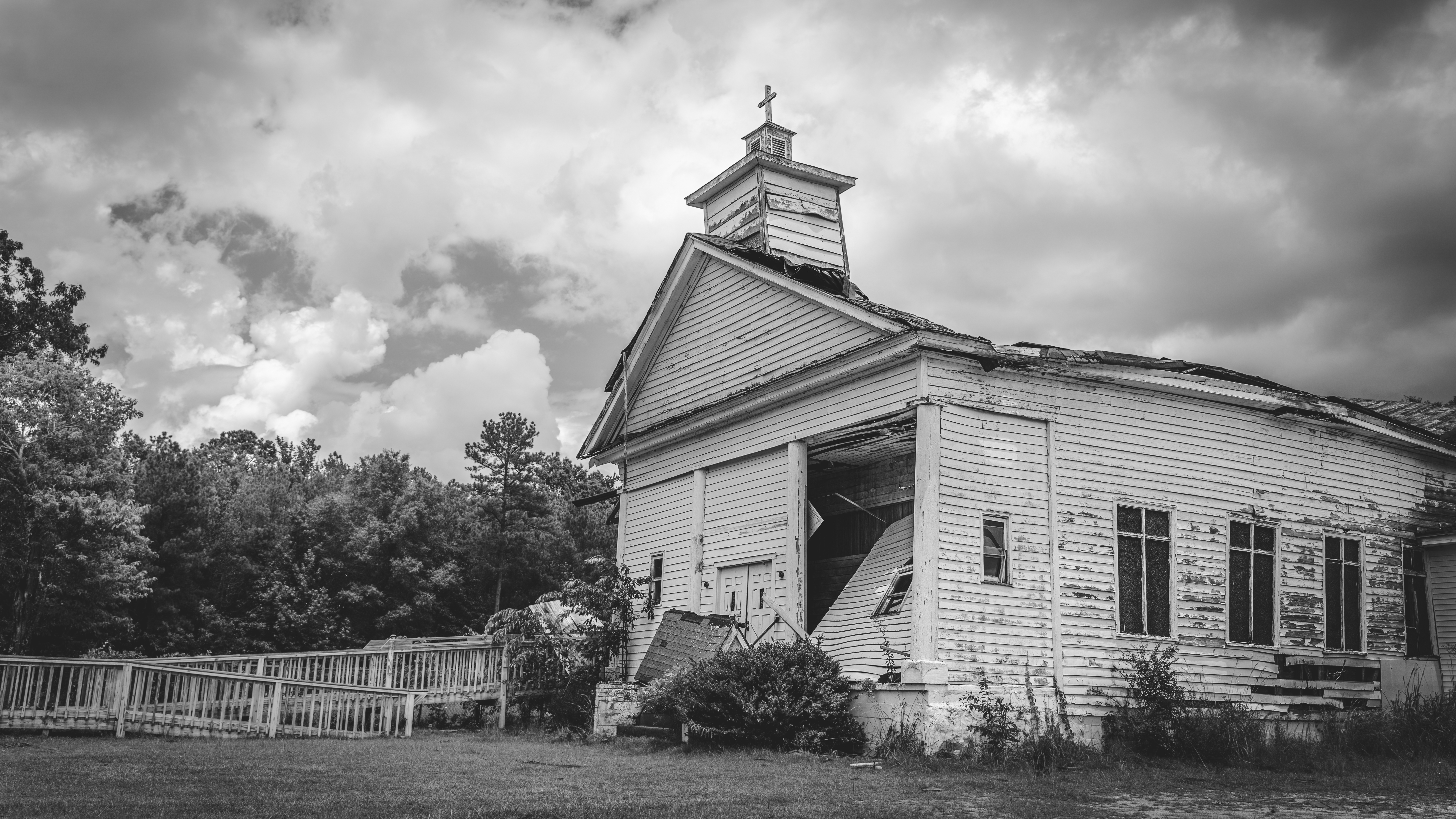
Pee Dee Missionary Baptist Church -- South Carolina
Topographic Map of S-35-, Bennettsville, SC, USA
Find elevation by address:

Places near S-35-, Bennettsville, SC, USA:
Marlboro County
Golden Run Restaurant
Bennettsville
Lakeland Dr, Bennettsville, SC, USA
State Rd S-35-, Bennettsville, SC, USA
Blenheim
S Main St, Blenheim, SC, USA
Drake Rd, Blenheim, SC, USA
3rd St, Clio, SC, USA
Lumber Rd, Society Hill, SC, USA
Society Hill
Red Bluff
Main St, Gibson, NC, USA
Gibson
113 Mary Ln
104 Will G St
104 Will G St
104 Will G St
7960 Scotch Meadows Dr
Old Wire Rd, Laurel Hill, NC, USA
Recent Searches:
- Elevation of 6 Rue Jules Ferry, Beausoleil, France
- Elevation of Sattva Horizon, 4JC6+G9P, Vinayak Nagar, Kattigenahalli, Bengaluru, Karnataka, India
- Elevation of Great Brook Sports, Gold Star Hwy, Groton, CT, USA
- Elevation of 10 Mountain Laurels Dr, Nashua, NH, USA
- Elevation of 16 Gilboa Ln, Nashua, NH, USA
- Elevation of Laurel Rd, Townsend, TN, USA
- Elevation of 3 Nestling Wood Dr, Long Valley, NJ, USA
- Elevation of Ilungu, Tanzania
- Elevation of Yellow Springs Road, Yellow Springs Rd, Chester Springs, PA, USA
- Elevation of Rēzekne Municipality, Latvia