Elevation of Rutledge Loop Rd, Luverne, AL, USA
Location: United States > Alabama > Crenshaw County > Luverne >
Longitude: -86.322891
Latitude: 31.6863171
Elevation: 93m / 305feet
Barometric Pressure: 100KPa
Elevation Map:
Satellite Map:
Related Photos:

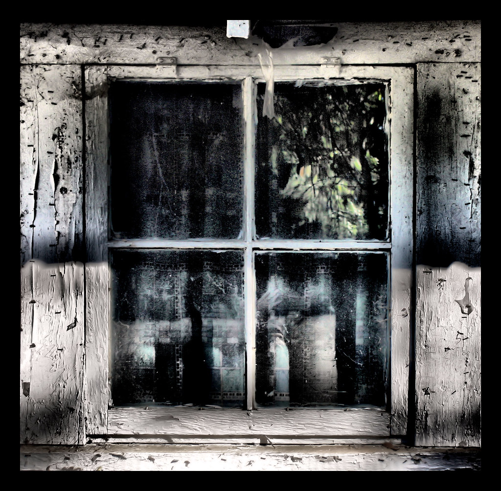
Black Soldier Fly - Hermetia illucens - on window
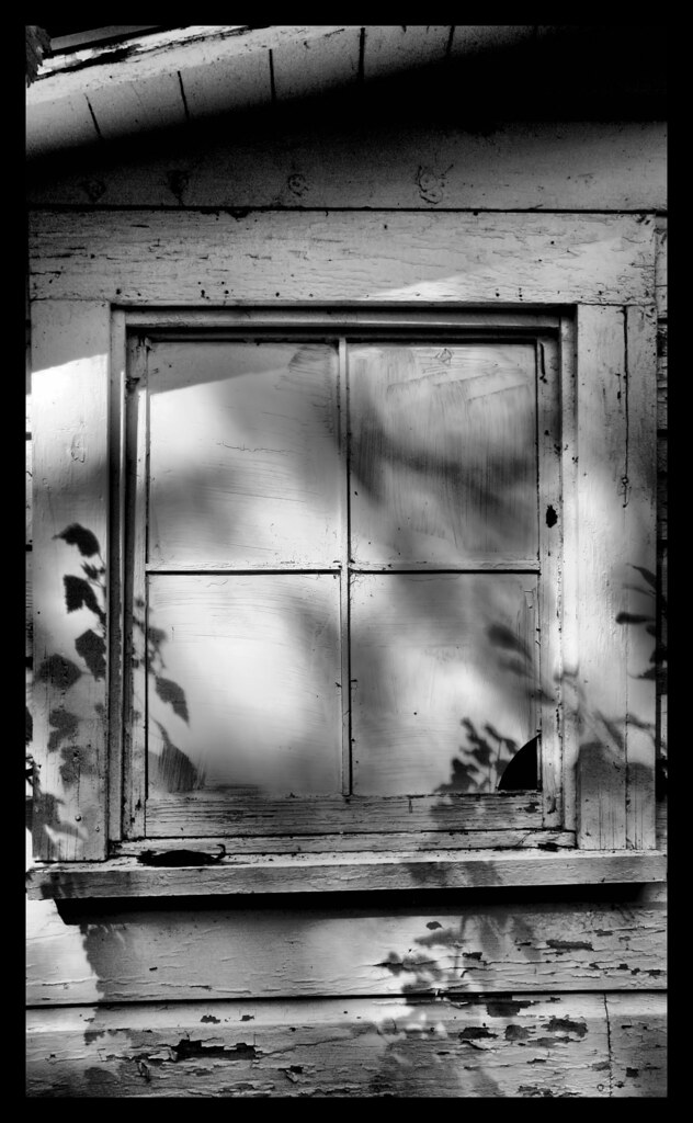
Closed From Reality
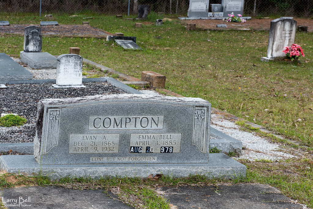
Reflections of Grieve
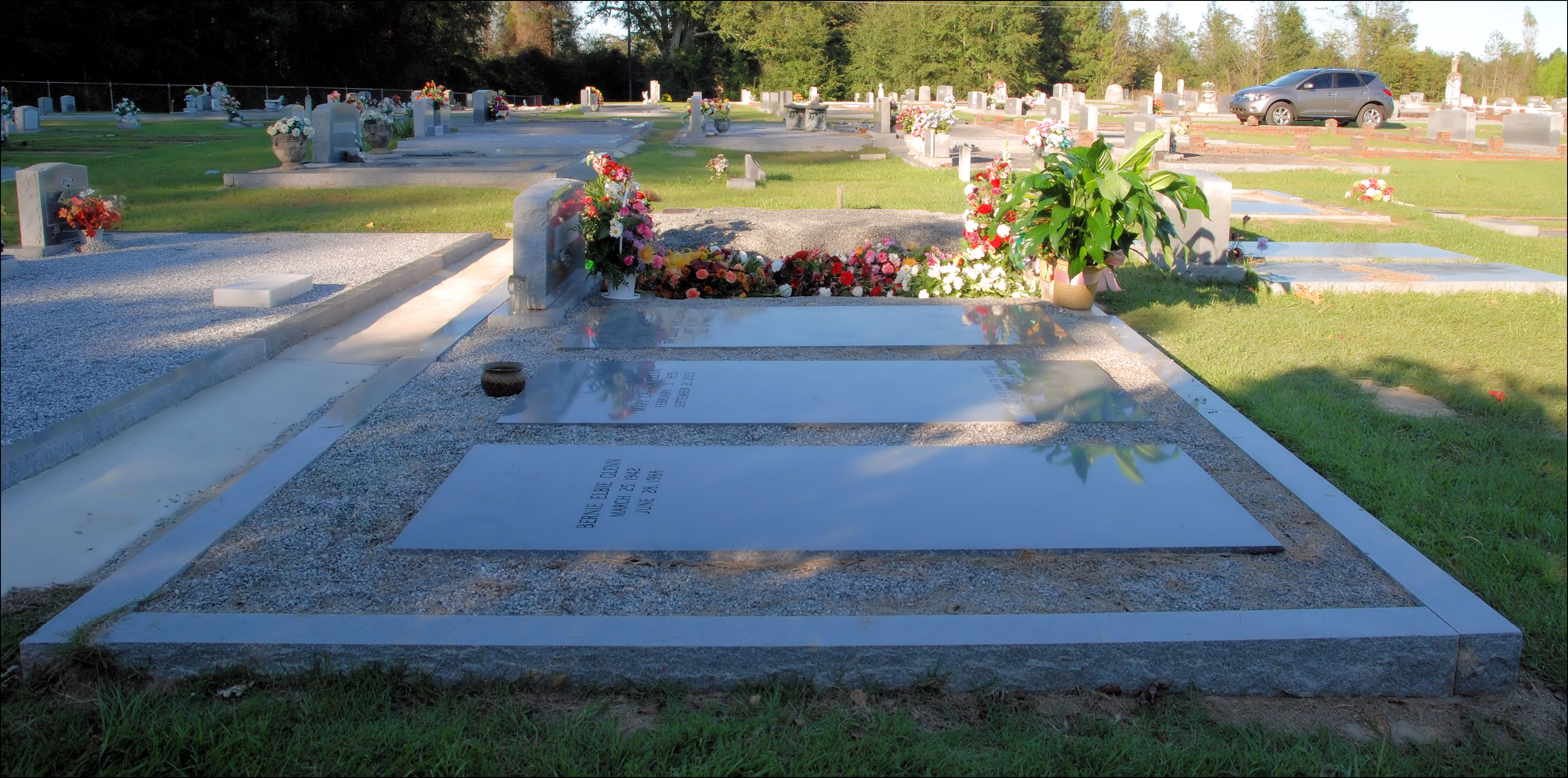
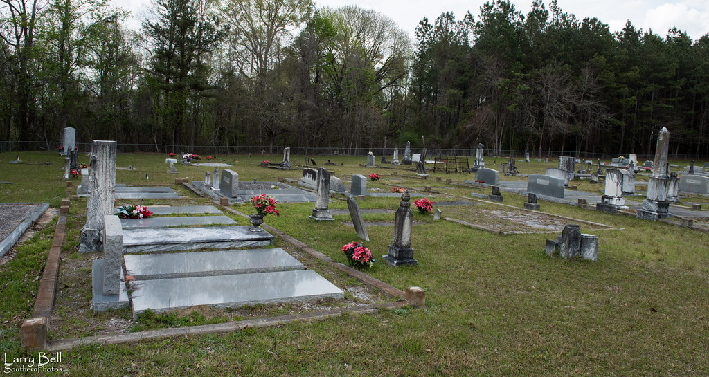
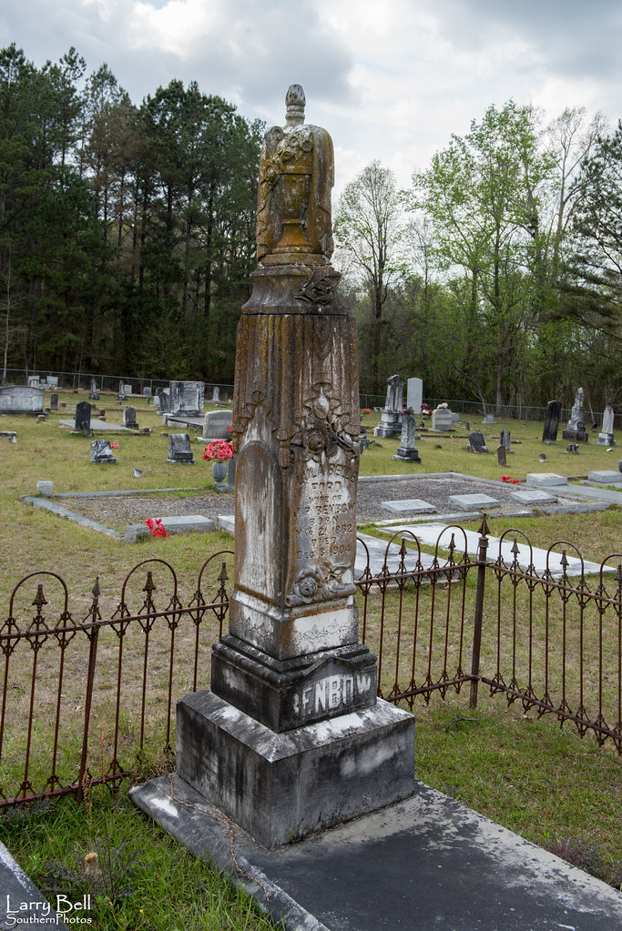
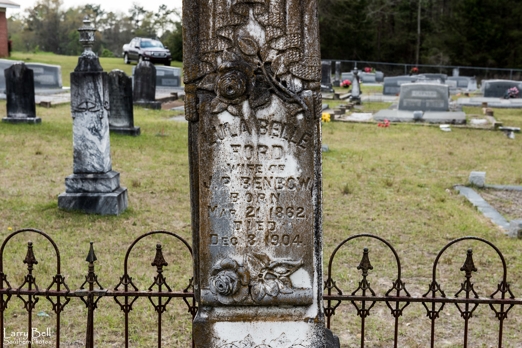
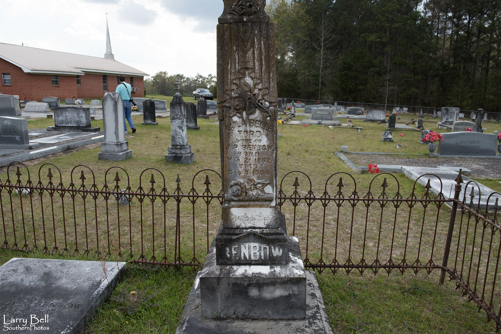
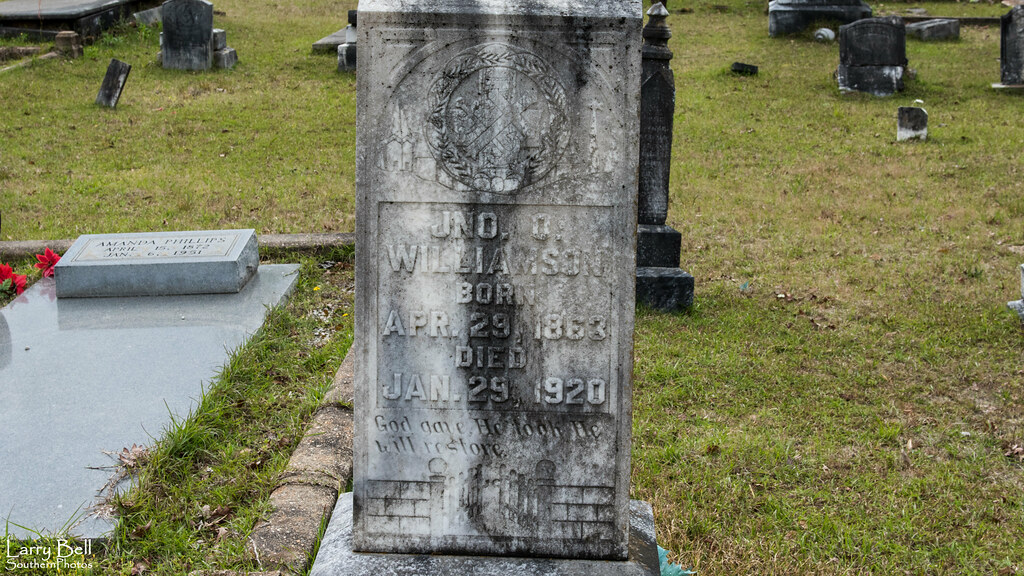
Mom's Final Rest
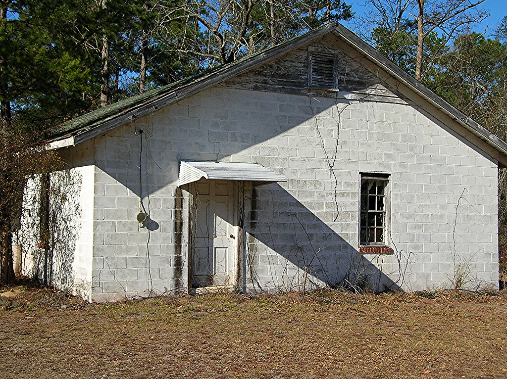
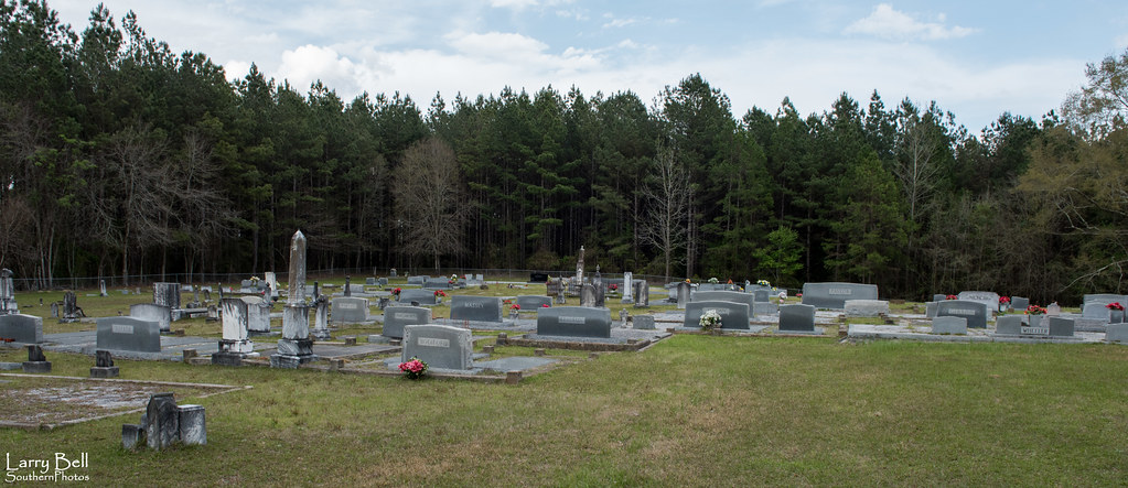
Mount Olive Hard Shell Baptist Church
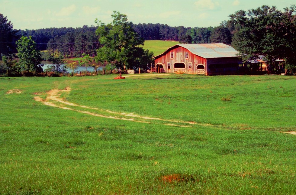
Thaggard's Farm
LEB_0643
LEB_0641
LEB_0640
LEB_0639
LEB_0638
LEB_0636
LEB_0635
LEB_0634
LEB_0632
LEB_0631
LEB_0630
LEB_0629
LEB_0627
LEB_0626
LEB_0625

LEB_0624
LEB_0623
LEB_0622

LEB_0621

LEB_0620
LEB_0619
Topographic Map of Rutledge Loop Rd, Luverne, AL, USA
Find elevation by address:

Places near Rutledge Loop Rd, Luverne, AL, USA:
Crenshaw County
Lee St, Rutledge, AL, USA
Rutledge
17 Forest Ave, Luverne, AL, USA
Luverne
N Main St, Brantley, AL, USA
Brantley
Troy Hwy, Goshen, AL, USA
Dozier
Goshen
Highland Home, AL, USA
Co Rd, Elba, AL, USA
2755 Lowman Loop
Shady Grove Rd, Grady, AL, USA
Magnolia Dr, Highland Home, AL, USA
4 Co Hwy 21, Goshen, AL, USA
409 Poor House Rd
Highland Home
Montgomery Hwy, Lapine, AL, USA
Co Rd 6, Troy, AL, USA
Recent Searches:
- Elevation of Dog Leg Dr, Minden, NV, USA
- Elevation of Dog Leg Dr, Minden, NV, USA
- Elevation of Kambingan Sa Pansol Atbp., Purok 7 Pansol, Candaba, Pampanga, Philippines
- Elevation of Pinewood Dr, New Bern, NC, USA
- Elevation of Mountain View, CA, USA
- Elevation of Foligno, Province of Perugia, Italy
- Elevation of Blauwestad, Netherlands
- Elevation of Bella Terra Blvd, Estero, FL, USA
- Elevation of Estates Loop, Priest River, ID, USA
- Elevation of Woodland Oak Pl, Thousand Oaks, CA, USA