Elevation of Co Rd, Elba, AL, USA
Location: United States > Alabama > Coffee County > Elba >
Longitude: -86.133107
Latitude: 31.561669
Elevation: 119m / 390feet
Barometric Pressure: 100KPa
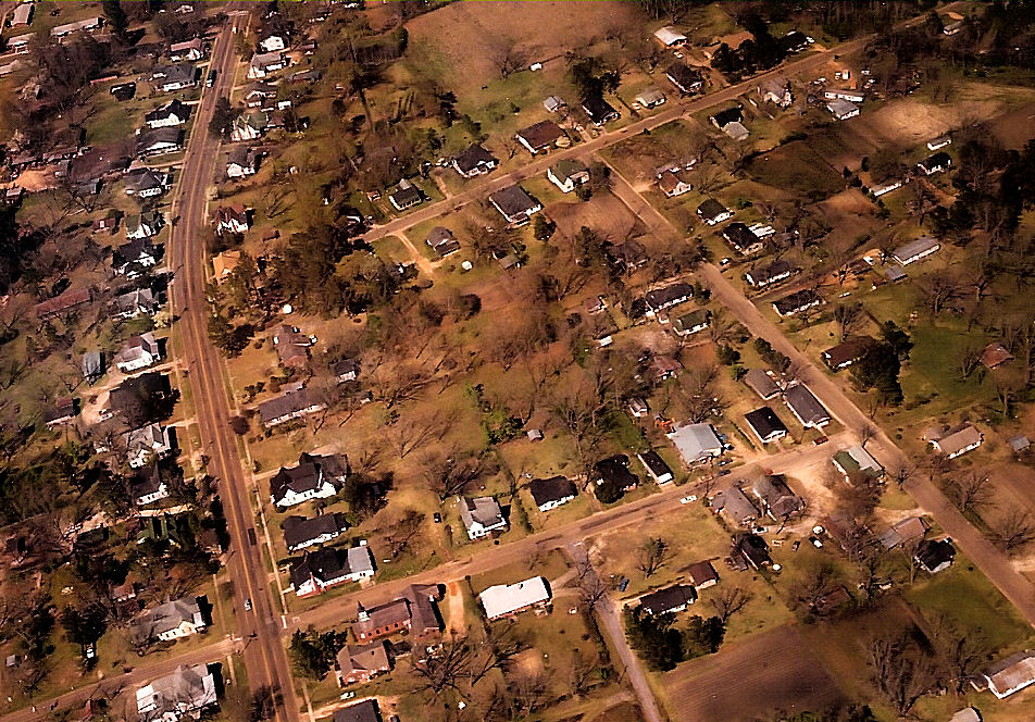
Elevation Map:
Satellite Map:
Related Photos:
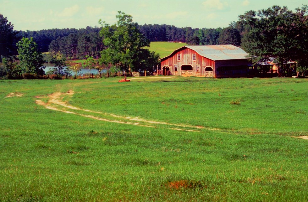
Thaggard's Farm

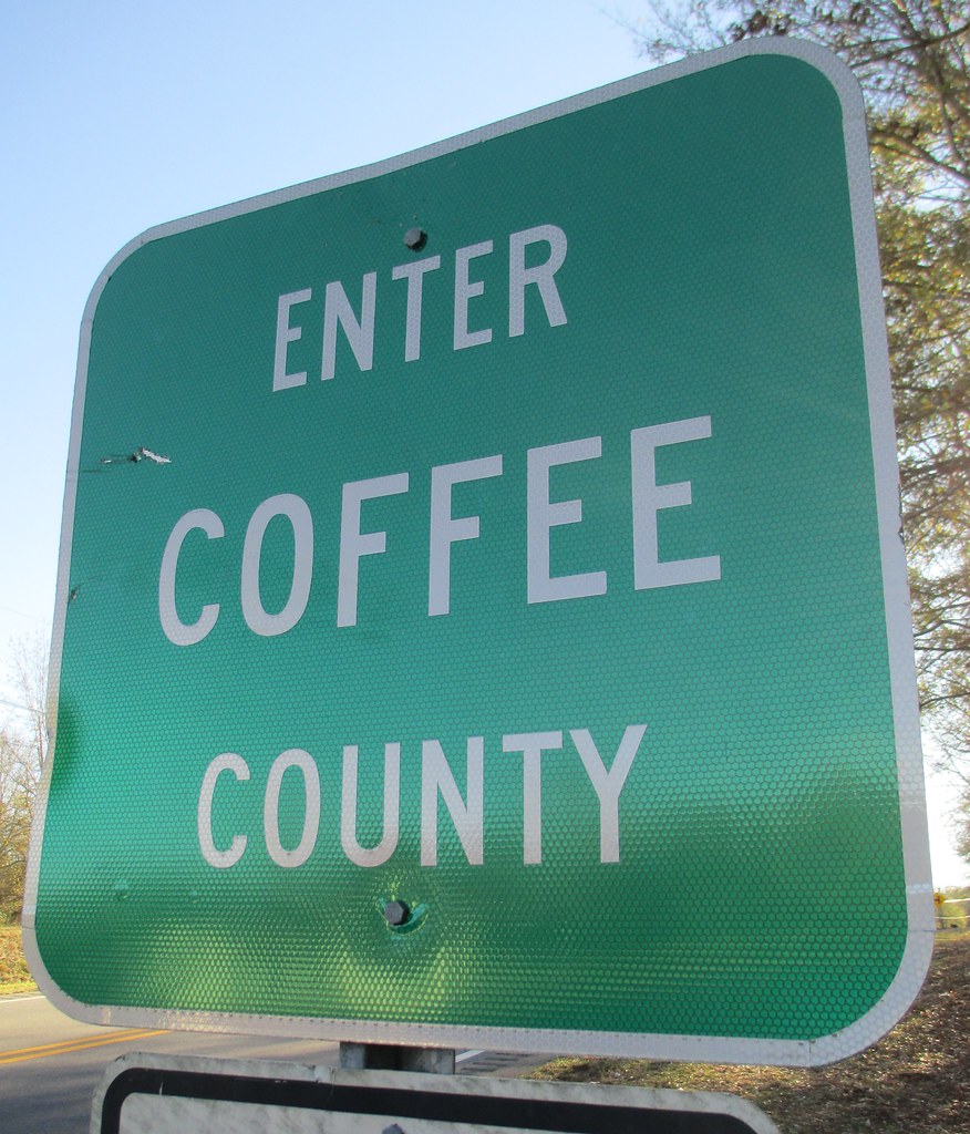
Entering Coffee County (Coffee County, Alabama)
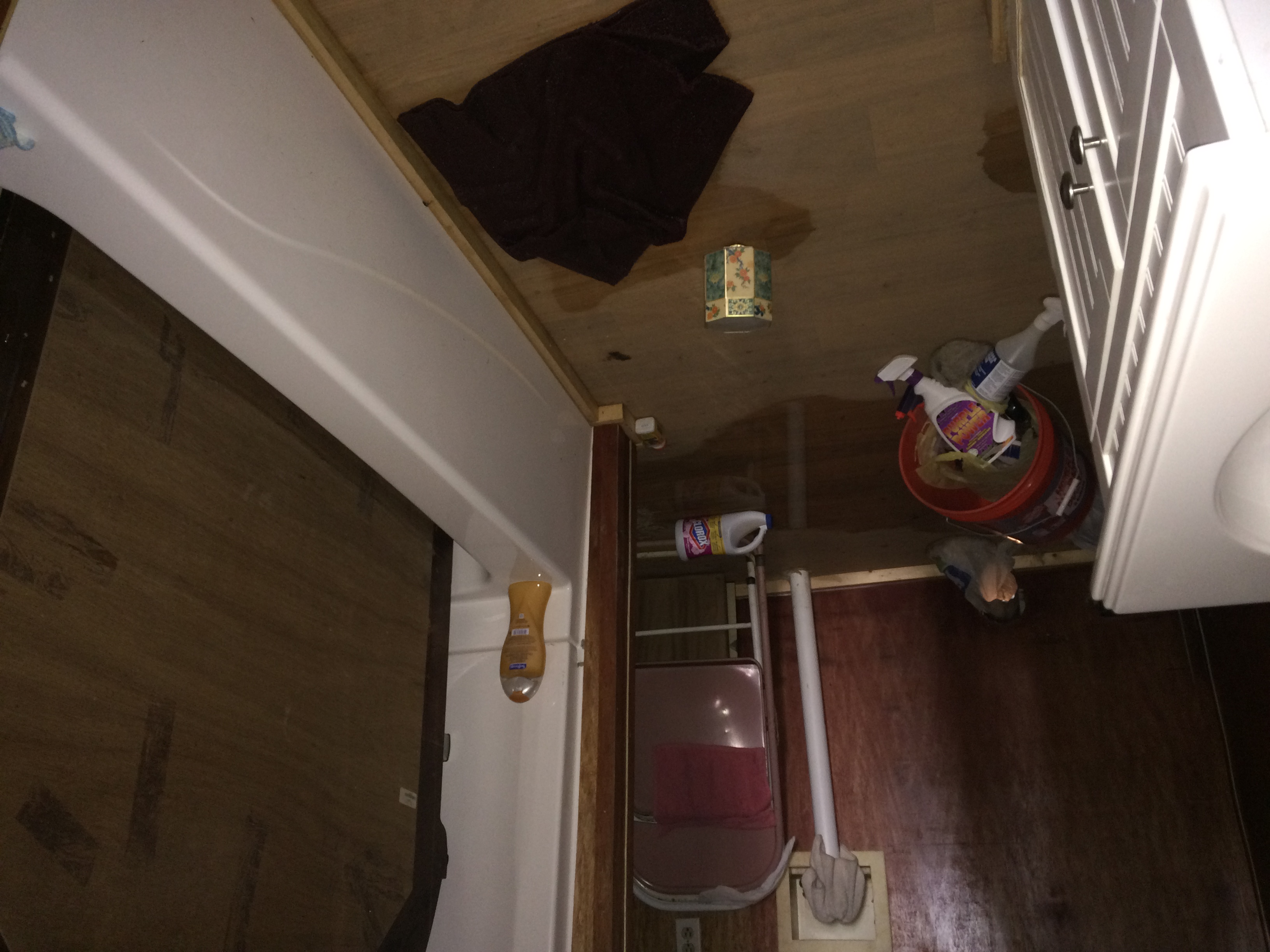
Water Level
Water Level

Flood Level

New Friend
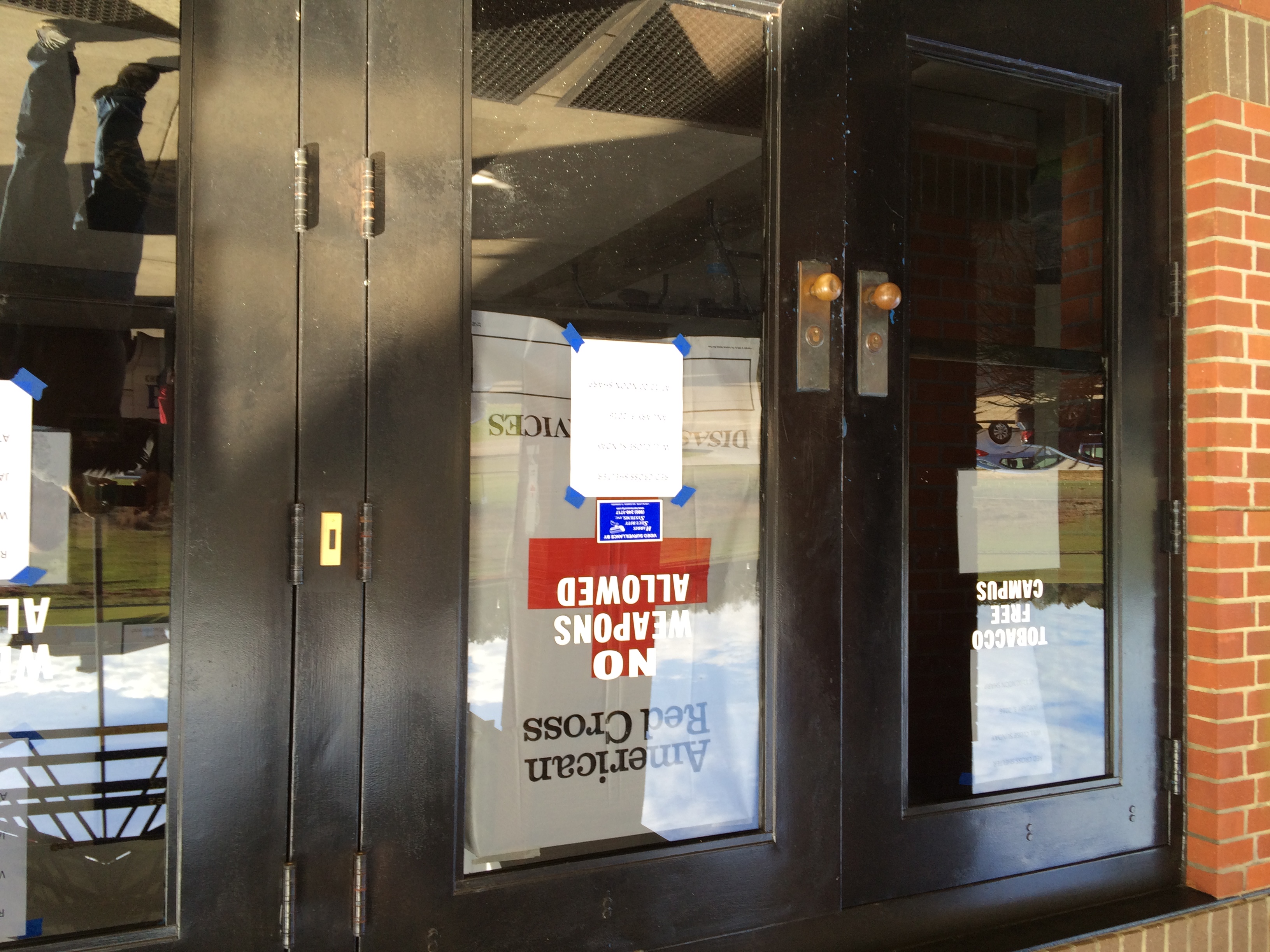
Red Cross Shelter

Distribution Center
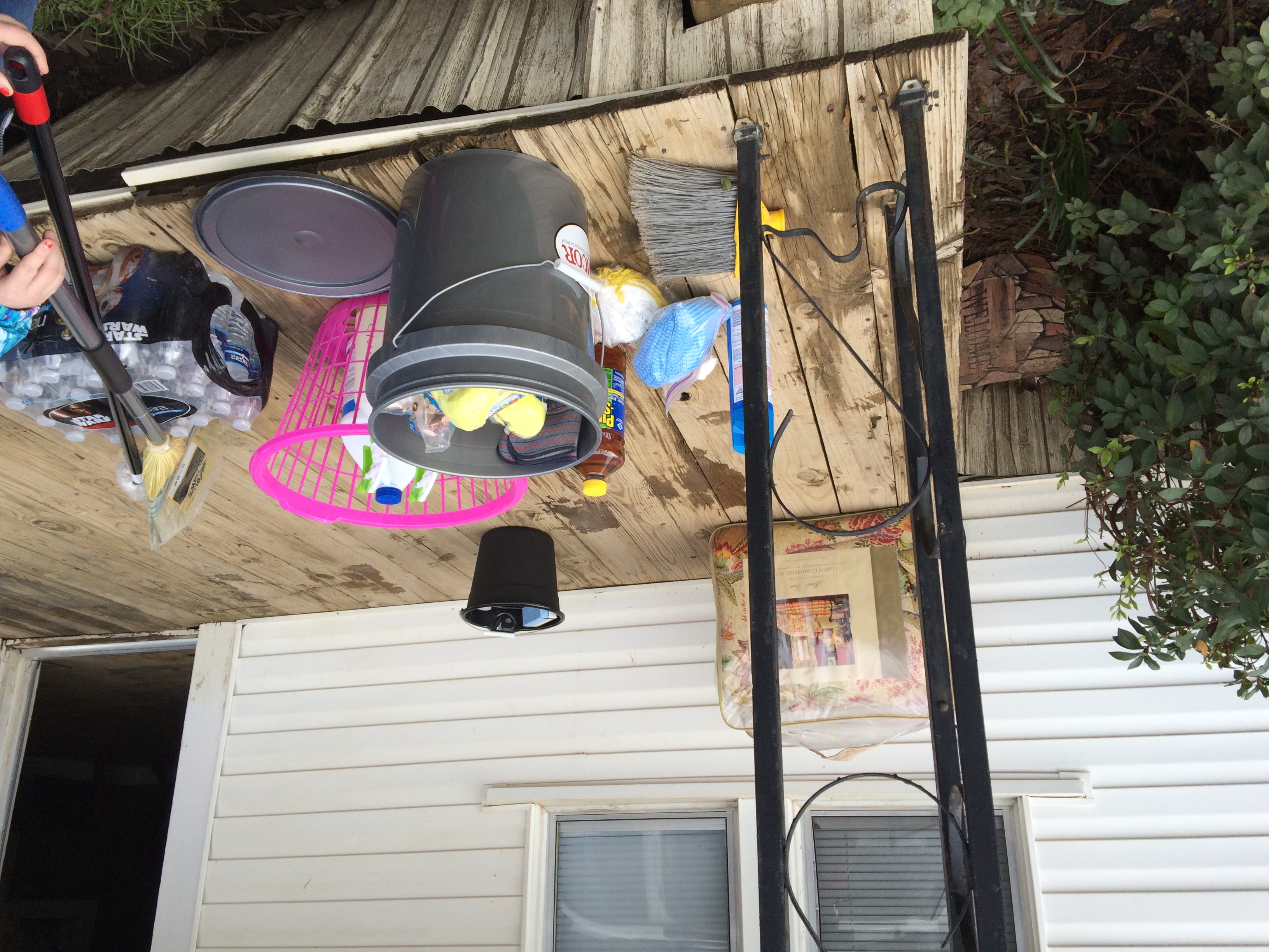
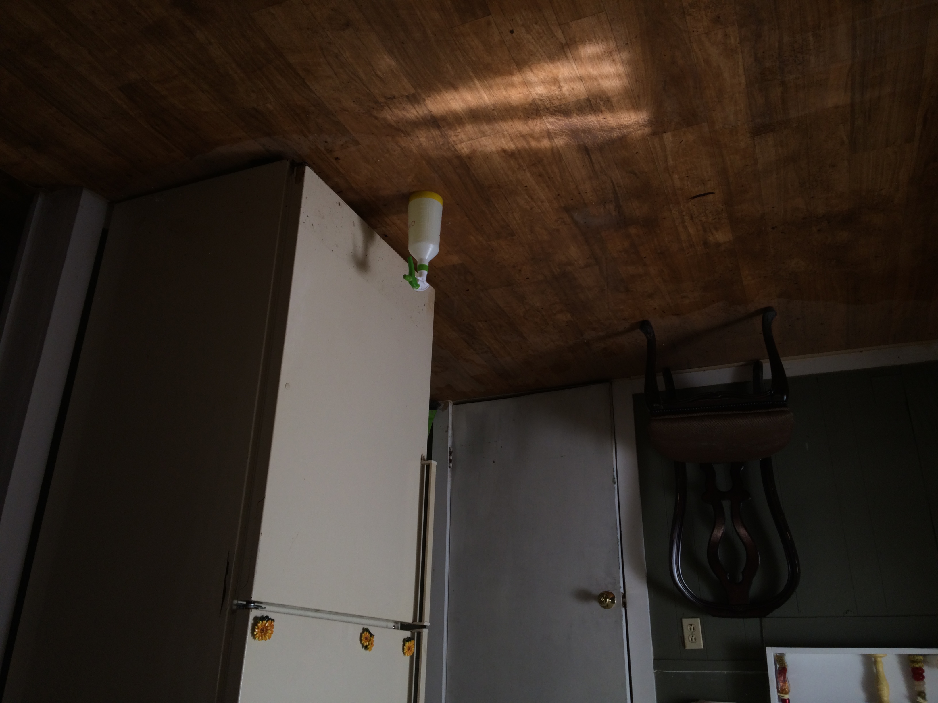
Cleaning Supplies

Alabama, Brantley Police Department
Enter Coffee County Sign (Coffee County, Alabama)
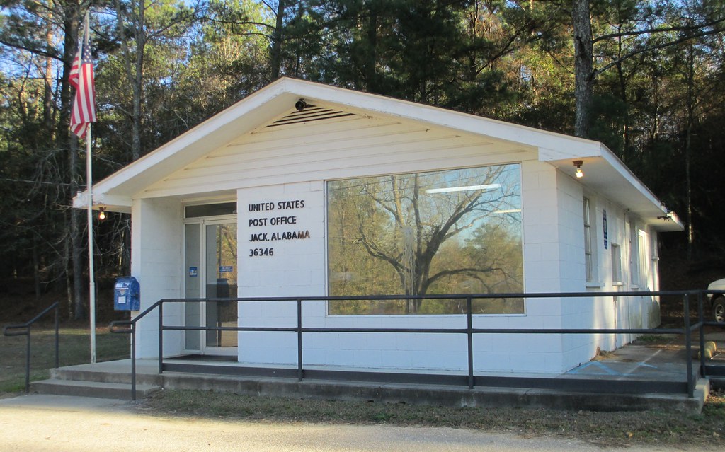
Post Office 36346 (Jack, Alabama)

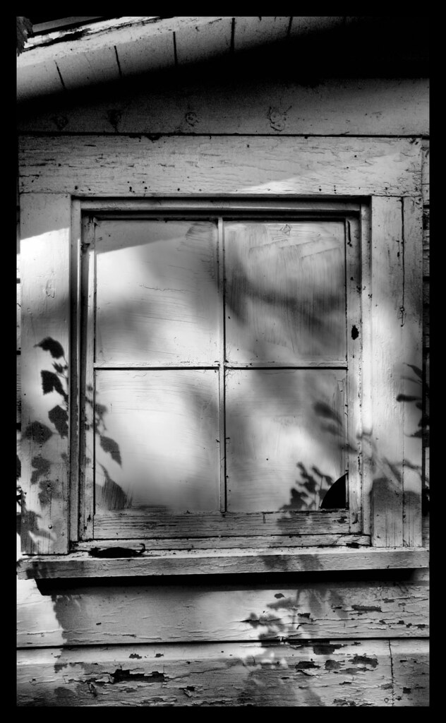
ABANDONED CABIN MAIN ST BRANTLEY AL
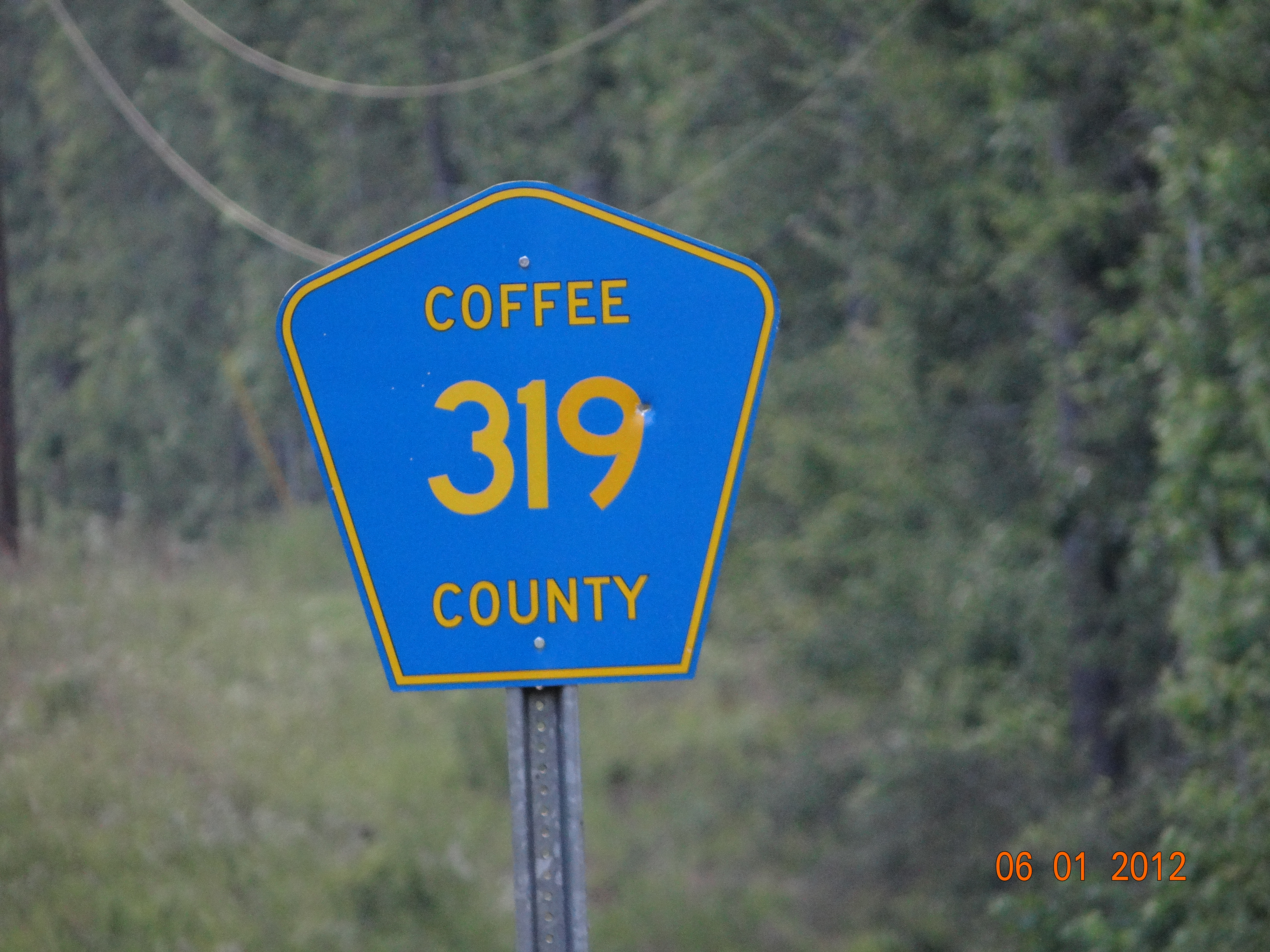
Co Rd 319-Coffee Co AL
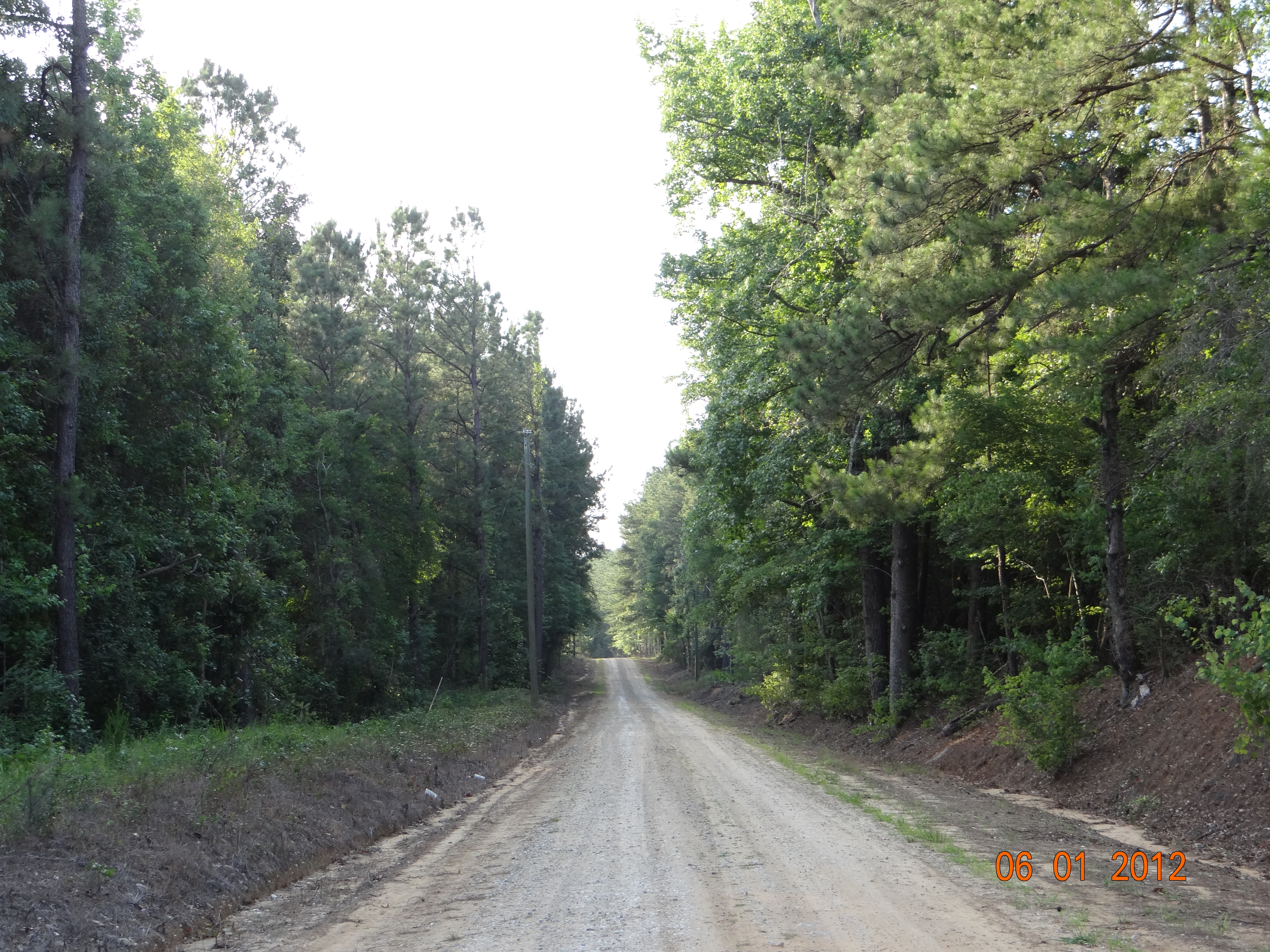
Dirt Road
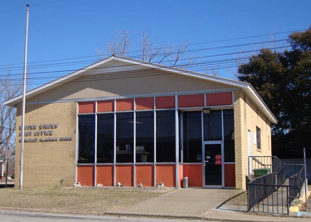
Post Office 36009 (Brantley, Alabama)
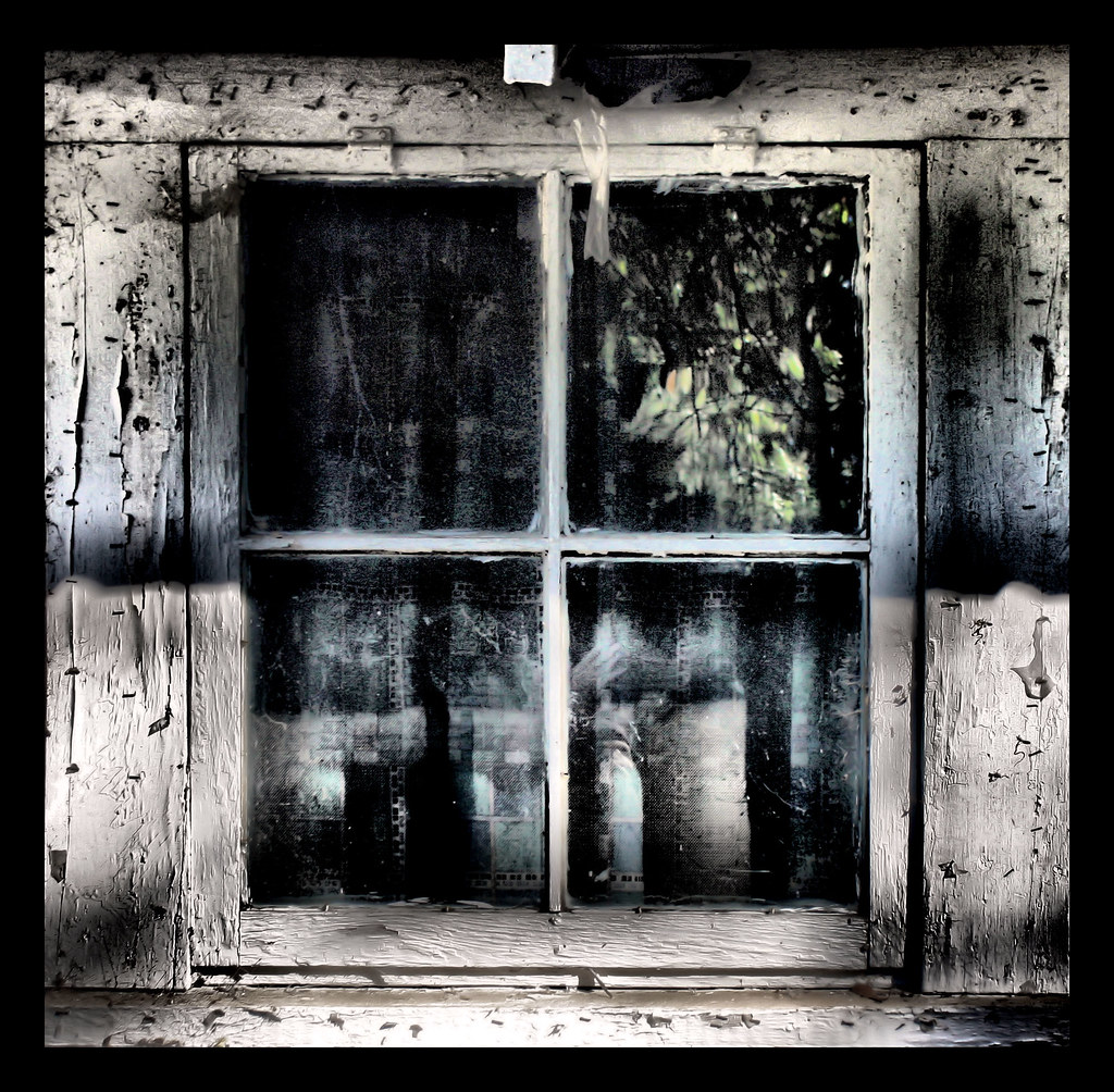
Closed From Reality
Reflections of Grieve
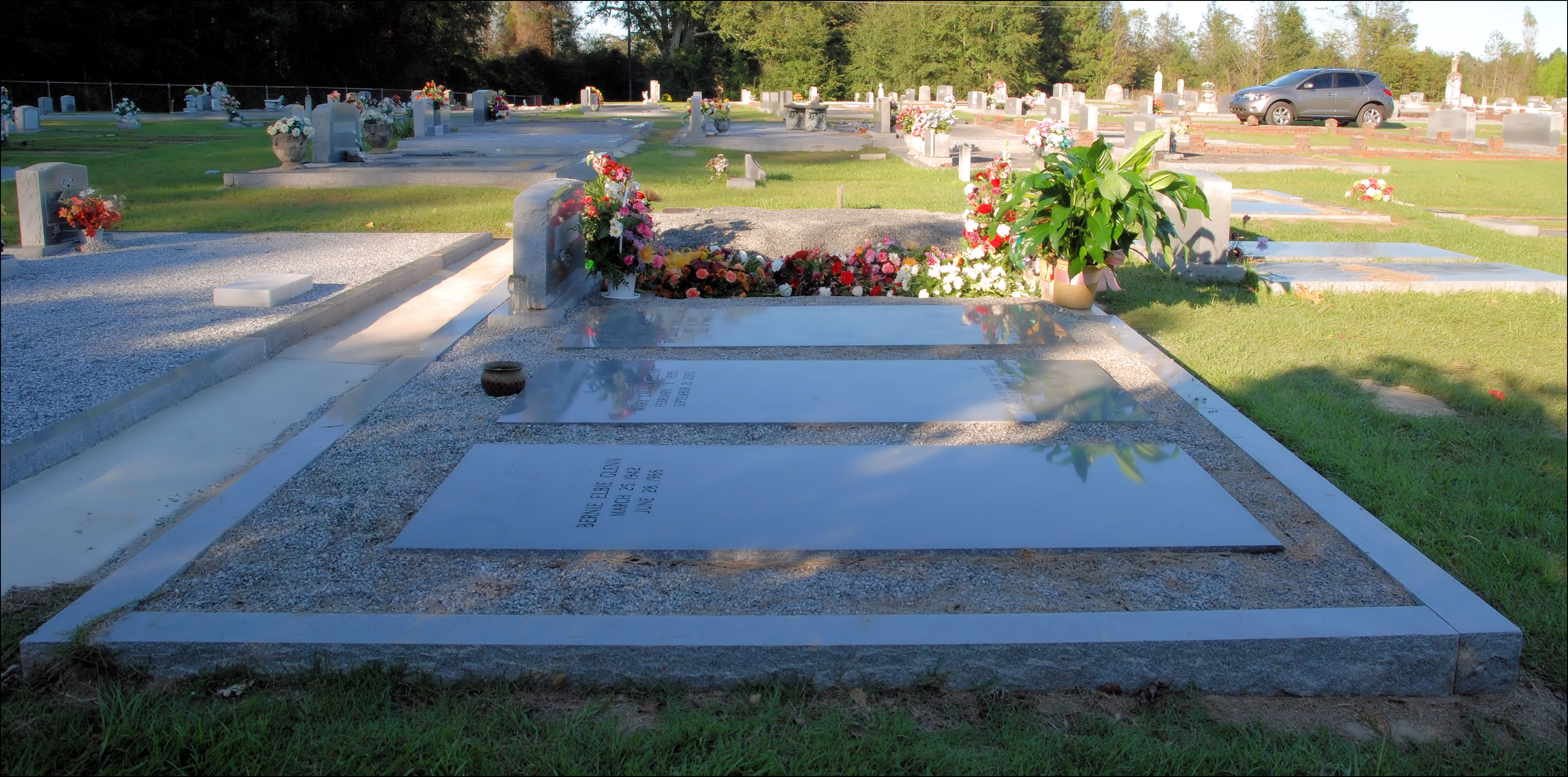
Mom's Final Rest
28 years ago

Sunset on Brantley

Flying Plant
Topographic Map of Co Rd, Elba, AL, USA
Find elevation by address:

Places near Co Rd, Elba, AL, USA:
AL-87, Elba, AL, USA
Co Rd, Elba, AL, USA
19770 Al-189
4 Co Hwy 21, Goshen, AL, USA
Brantley
N Main St, Brantley, AL, USA
Co Rd 6, Troy, AL, USA
Jack
6834 Al-141
1603 Al-166
Elba Elementary School
AL-87, Troy, AL, USA
AL-, Elba, AL, USA
Coffee County
Elba
Goshen
Brunson Street
Reese Avenue
US-84, Elba, AL, USA
1590 Co Rd 201
Recent Searches:
- Elevation of Estates Loop, Priest River, ID, USA
- Elevation of Woodland Oak Pl, Thousand Oaks, CA, USA
- Elevation of Brownsdale Rd, Renfrew, PA, USA
- Elevation of Corcoran Ln, Suffolk, VA, USA
- Elevation of Mamala II, Sariaya, Quezon, Philippines
- Elevation of Sarangdanda, Nepal
- Elevation of 7 Waterfall Way, Tomball, TX, USA
- Elevation of SW 57th Ave, Portland, OR, USA
- Elevation of Crocker Dr, Vacaville, CA, USA
- Elevation of Pu Ngaol Community Meeting Hall, HWHM+3X7, Krong Saen Monourom, Cambodia