Elevation of Dozier, AL, USA
Location: United States > Alabama > Crenshaw County >
Longitude: -86.364958
Latitude: 31.4921084
Elevation: 75m / 246feet
Barometric Pressure: 100KPa
Elevation Map:
Satellite Map:
Related Photos:

Mount Olive Hard Shell Baptist Church

Mom's Final Rest

I'mma Bee

Walking home

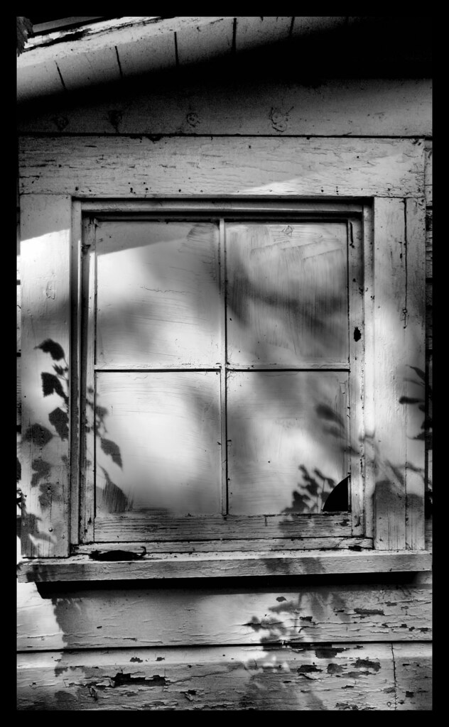
Hanging on
Reflections of Grieve
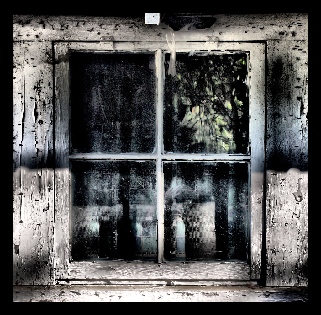
Closed From Reality

Thaggard's Farm

DSC_0198.jpg

DSC_0288.jpg
Topographic Map of Dozier, AL, USA
Find elevation by address:

Places near Dozier, AL, USA:
2755 Lowman Loop
28584 Hammett Rd
16133 Co Rd 86
19389 Enoch Road
15050 Dunns Bridge Rd
Brantley
N Main St, Brantley, AL, USA
29038 Twin View Ln
Crenshaw County
AL-12, Andalusia, AL, USA
Sanford
6834 Al-141
3596 Rutledge Loop Rd
AL-, Elba, AL, USA
Andalusia
262 Crescent St
River Falls
Railroad Ave, Andalusia, AL, USA
US-84, Elba, AL, USA
512 Palmetto St
Recent Searches:
- Elevation of Kambingan Sa Pansol Atbp., Purok 7 Pansol, Candaba, Pampanga, Philippines
- Elevation of Pinewood Dr, New Bern, NC, USA
- Elevation of Mountain View, CA, USA
- Elevation of Foligno, Province of Perugia, Italy
- Elevation of Blauwestad, Netherlands
- Elevation of Bella Terra Blvd, Estero, FL, USA
- Elevation of Estates Loop, Priest River, ID, USA
- Elevation of Woodland Oak Pl, Thousand Oaks, CA, USA
- Elevation of Brownsdale Rd, Renfrew, PA, USA
- Elevation of Corcoran Ln, Suffolk, VA, USA