Elevation of River Falls, AL, USA
Location: United States > Alabama > Covington County >
Longitude: -86.539127
Latitude: 31.3529468
Elevation: 61m / 200feet
Barometric Pressure: 101KPa
Elevation Map:
Satellite Map:
Related Photos:

All Aboard
Main Street USA

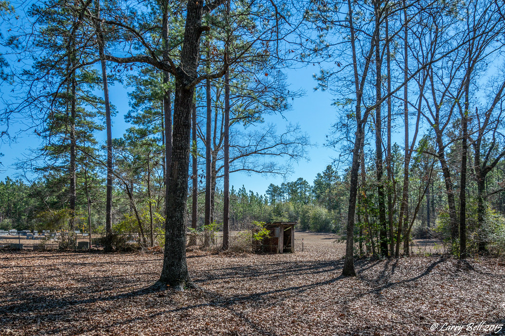
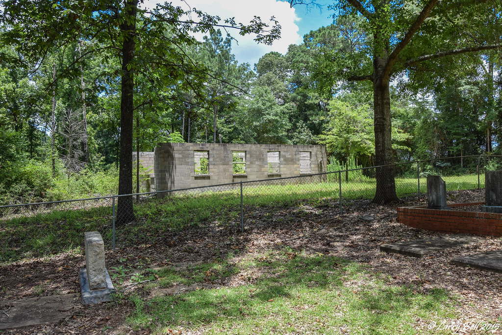
Uninhabited House
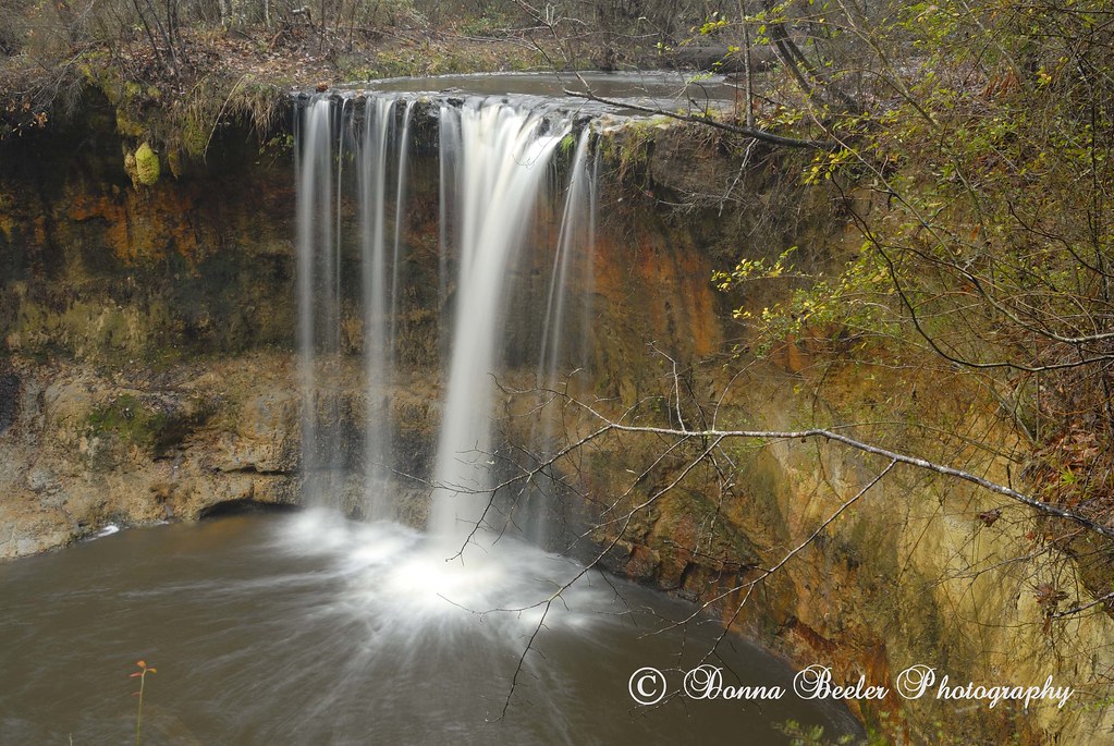
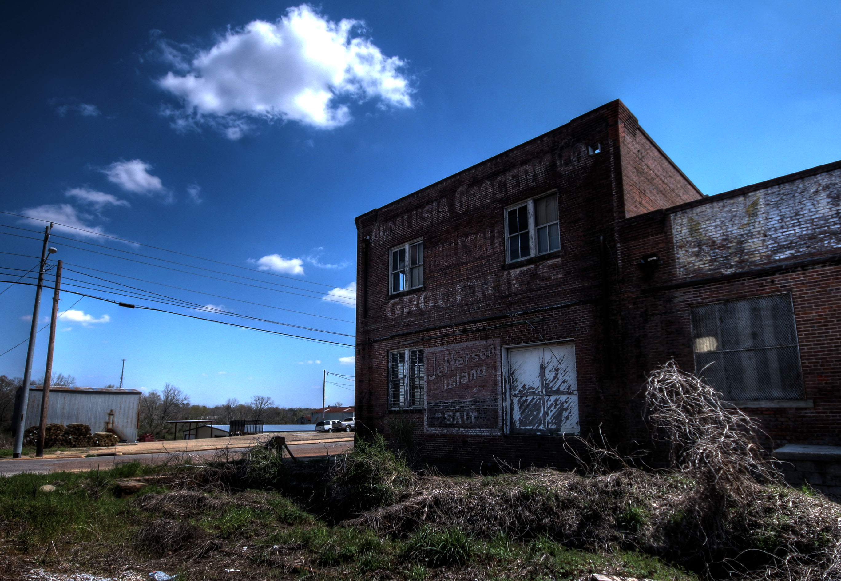
River Falls, River Falls, Alabama
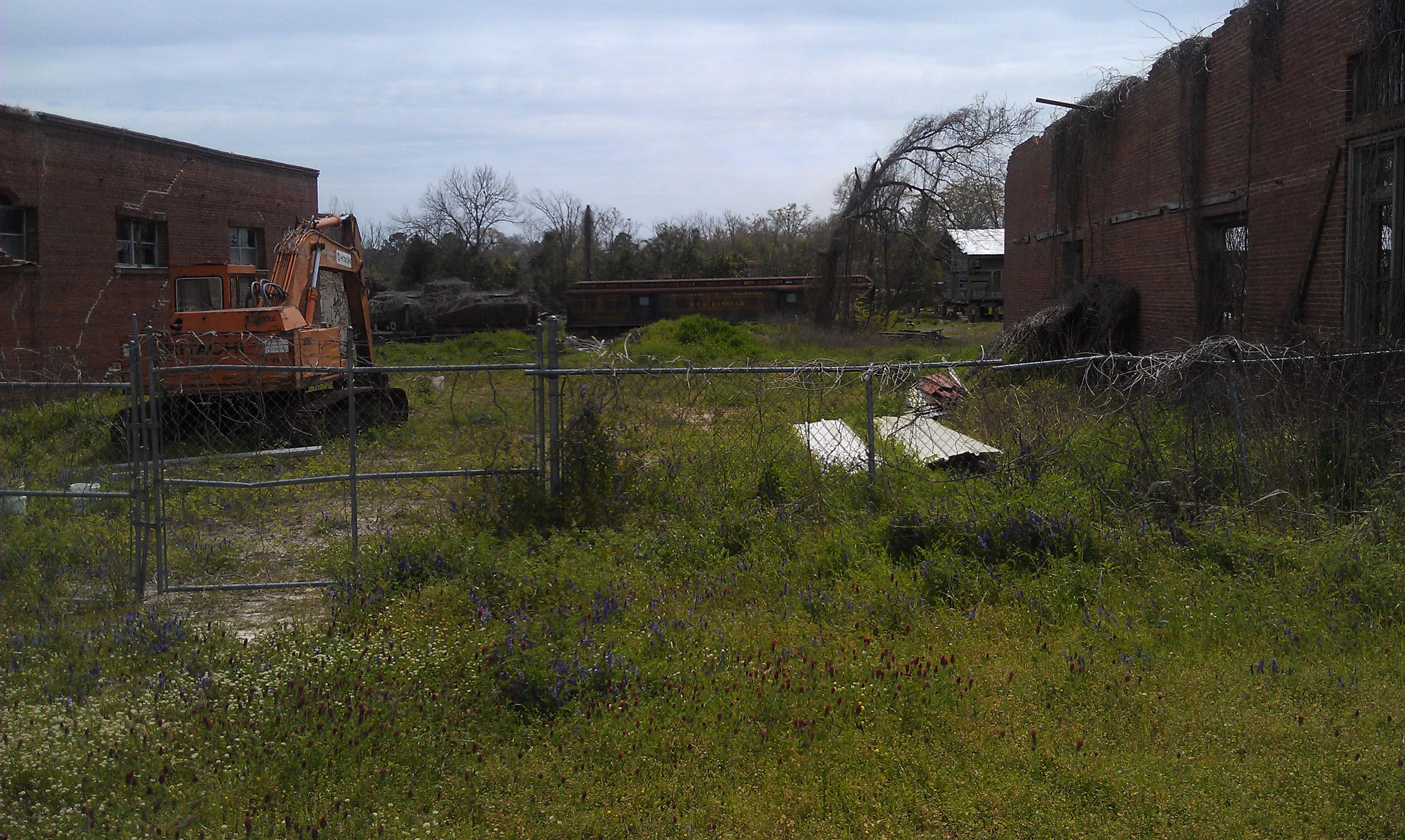
Central of Georgia Depot- Andalusia AL (3)

Cotton Pan
DSC_0192.jpg
DSC_0172.jpg
DSC_0198.jpg
DSC_0207.jpg
DSC_0193.jpg
Topographic Map of River Falls, AL, USA
Find elevation by address:

Places in River Falls, AL, USA:
Places near River Falls, AL, USA:
Railroad Ave, Andalusia, AL, USA
1802 Cedar Rd
1709 Cedar Rd
1203 Prestwood Bridge Rd
Covington County
622 Dunson St
262 Crescent St
512 Palmetto St
South 3 Notch Street
Andalusia
29038 Twin View Ln
Red Level
Deens St, Red Level, AL, USA
2130 Easley Dr
15050 Dunns Bridge Rd
Loango Rd, Red Level, AL, USA
22326 Al-55
16133 Co Rd 86
2345 Ranch Ln
AL-12, Andalusia, AL, USA
Recent Searches:
- Elevation of Erika Dr, Windsor, CA, USA
- Elevation of Village Ln, Finleyville, PA, USA
- Elevation of 24 Oakland Rd #, Scotland, ON N0E 1R0, Canada
- Elevation of Deep Gap Farm Rd E, Mill Spring, NC, USA
- Elevation of Dog Leg Dr, Minden, NV, USA
- Elevation of Dog Leg Dr, Minden, NV, USA
- Elevation of Kambingan Sa Pansol Atbp., Purok 7 Pansol, Candaba, Pampanga, Philippines
- Elevation of Pinewood Dr, New Bern, NC, USA
- Elevation of Mountain View, CA, USA
- Elevation of Foligno, Province of Perugia, Italy