Elevation of Ruthsburg Rd, Centreville, MD, USA
Location: United States > Maryland > Queen Anne's County > 3, Centreville > Centreville >
Longitude: -75.921911
Latitude: 39.019203
Elevation: 19m / 62feet
Barometric Pressure: 101KPa
Elevation Map:
Satellite Map:
Related Photos:
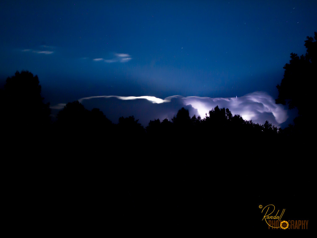
Night Lightning Storm

Light Trails From Ground View

The Bright Moon

Light Painting in the Park - Trees

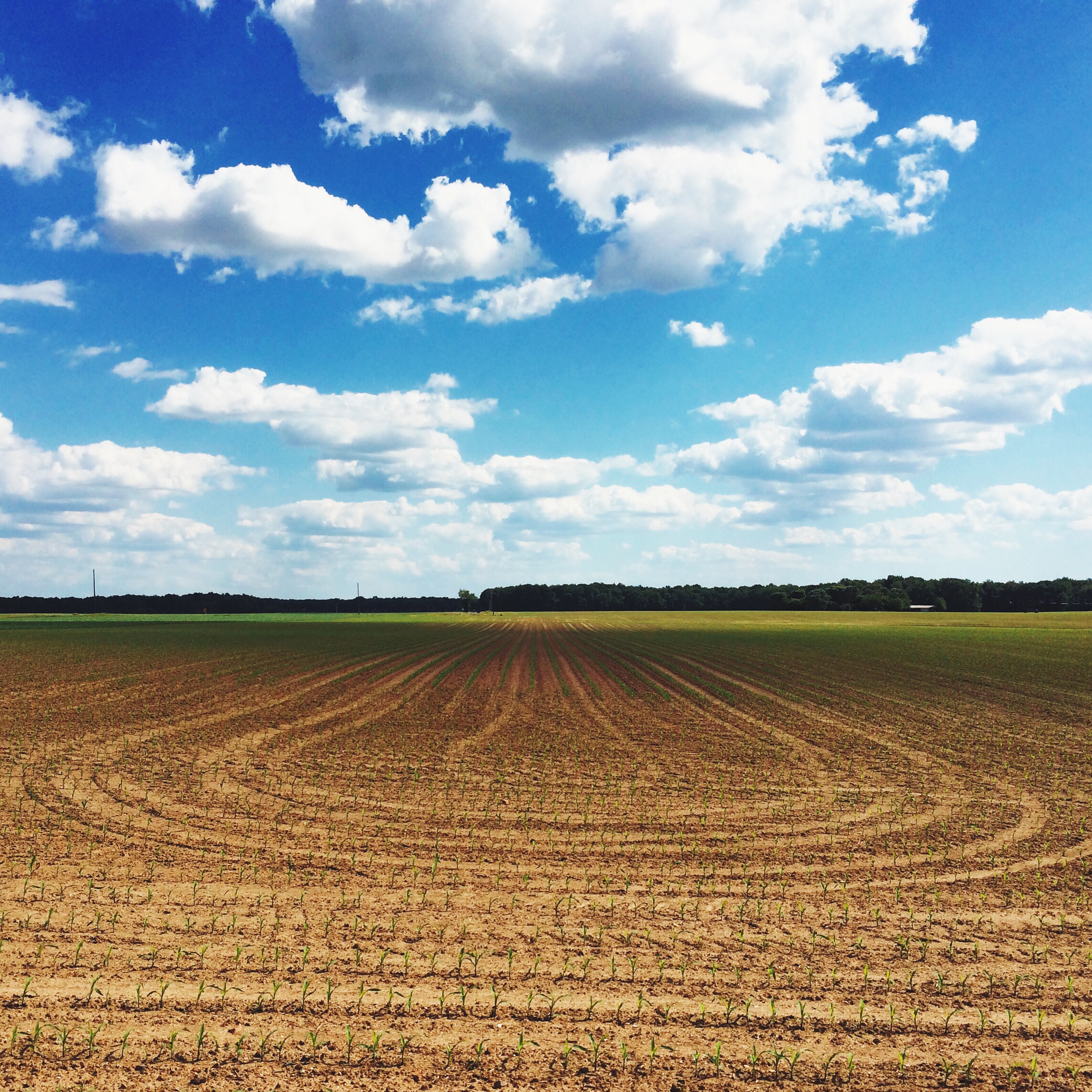
Bloomfield Farm in Queen Anne's County, Md.

Bloomfield Farm in Queen Anne's County, Md.

Bloomfield Farm in Queen Anne's County, Md.

Bloomfield Farm in Queen Anne's County, Md.

Bloomfield Farm in Queen Anne's County, Md.

Bloomfield Farm in Queen Anne's County, Md.

Bloomfield Farm in Queen Anne's County, Md.

Bloomfield Farm in Queen Anne's County, Md.

Beautiful View of the Choptank River

Ridgely, MD

Who will sit there?

Centreville Dam rock ramp, downstream view
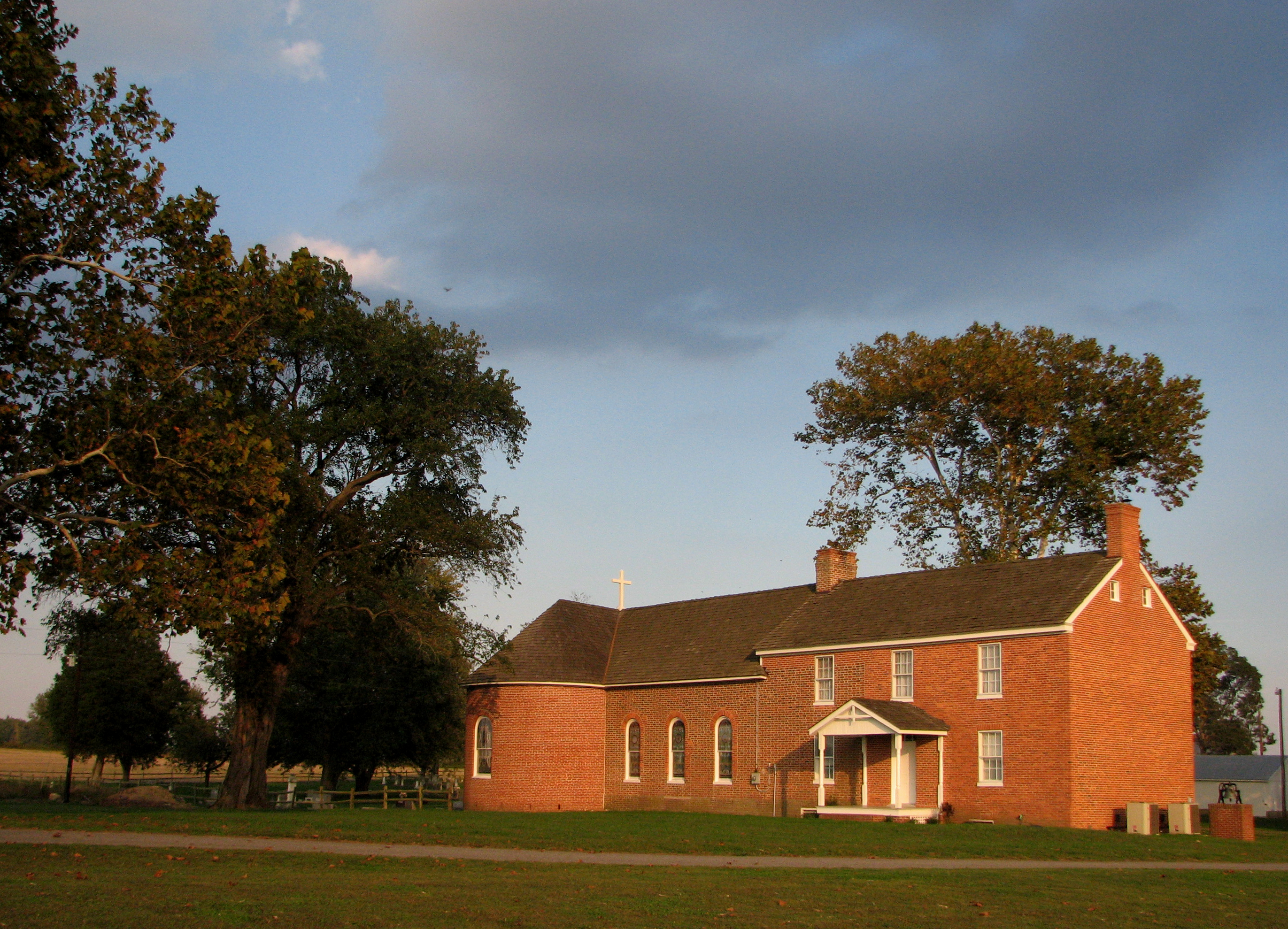
St. Joseph's near Cordova, Maryland, 1765

Pennsylvania Railroad, Maryland, Goldsboro (13,541)
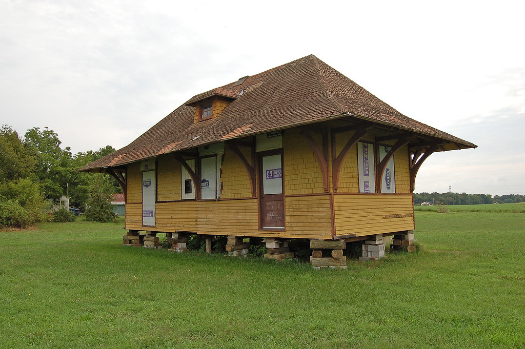
Pennsylvania Railroad, Maryland, Goldsboro (13,541b)

Budded on Earth to Bloom in Heaven

2012-11-27 Ruff 3451

The Green Wheat Field
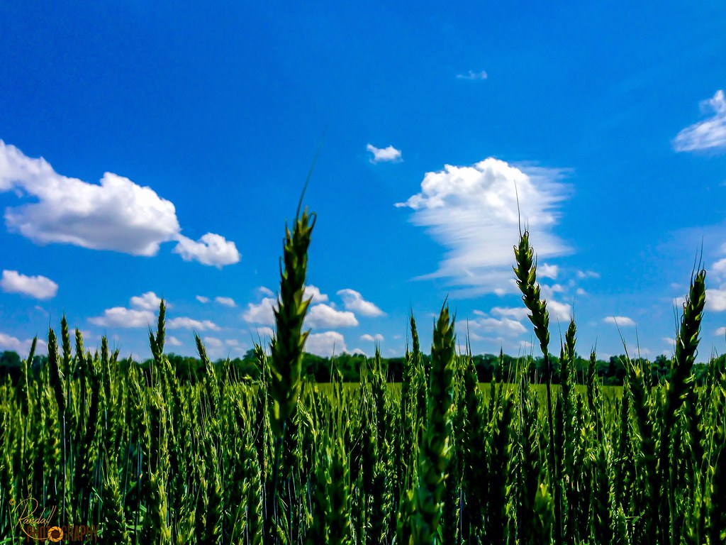
Green Wheat Stand Up

The Green Wheat

I'm Dreaming

{ kites are the new parasol }
A few times a year we head out across the Bay to the Eastern Shore of Maryland. As someone who thrives in an urban environment, the trip is an interesting mix of peaceful beauty and anxiety-producing nothingness. I present this image as an example.

Serenity in Green

Restored wetlands on a farm in Queen Anne's County, Md.

Jackson Lane Preserve in Caroline County, Md.

Route 301 in Queen Anne's County, Md.

Restored wetlands on a farm in Queen Anne's County, Md.
Topographic Map of Ruthsburg Rd, Centreville, MD, USA
Find elevation by address:

Places near Ruthsburg Rd, Centreville, MD, USA:
Fox Chase Cir, Ridgely, MD, USA
7, Ridgely
Robins Court
Ridgely
Martin Sutton Memorial Park
Ridgely Rd, Ridgely, MD, USA
11826 Holly Plains Dr
Hillsboro Rd, Denton, MD, USA
Downes Station Rd, Ridgely, MD, USA
Caroline County
6, Hillsboro
Orly Dr, Denton, MD, USA
Smith Landing Rd, Denton, MD, USA
Quail Run Rd, Denton, MD, USA
2, Greensboro
Vienna Dr, Denton, MD, USA
Bridge St, Denton, MD, USA
Greensboro Rd, Denton, MD, USA
101 Gay St
Denton
Recent Searches:
- Elevation of 72-31 Metropolitan Ave, Middle Village, NY, USA
- Elevation of 76 Metropolitan Ave, Brooklyn, NY, USA
- Elevation of Alisal Rd, Solvang, CA, USA
- Elevation of Vista Blvd, Sparks, NV, USA
- Elevation of 15th Ave SE, St. Petersburg, FL, USA
- Elevation of Beall Road, Beall Rd, Florida, USA
- Elevation of Leguwa, Nepal
- Elevation of County Rd, Enterprise, AL, USA
- Elevation of Kolchuginsky District, Vladimir Oblast, Russia
- Elevation of Shustino, Vladimir Oblast, Russia