Elevation of Quail Run Rd, Denton, MD, USA
Location: United States > Maryland > Caroline County > 6, Hillsboro > Denton >
Longitude: -75.927304
Latitude: 38.870978
Elevation: 10m / 33feet
Barometric Pressure: 101KPa
Elevation Map:
Satellite Map:
Related Photos:
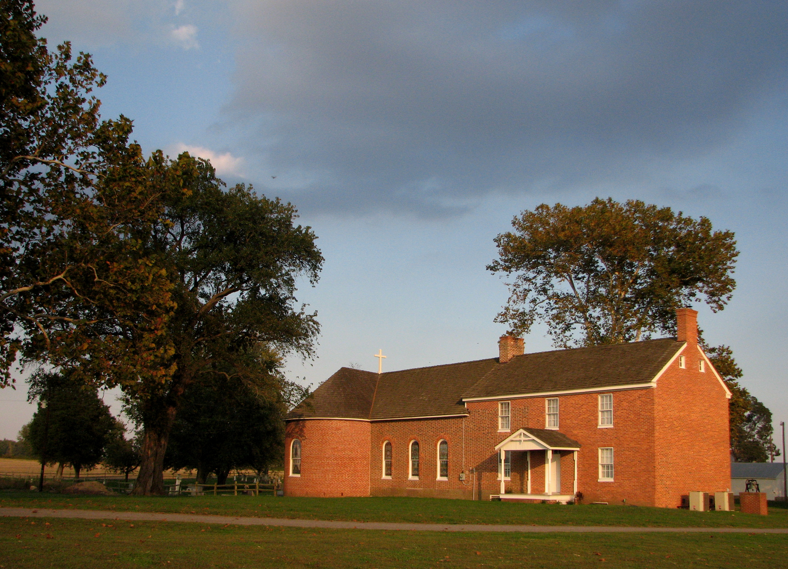
St. Joseph's near Cordova, Maryland, 1765

Light Trails From Ground View
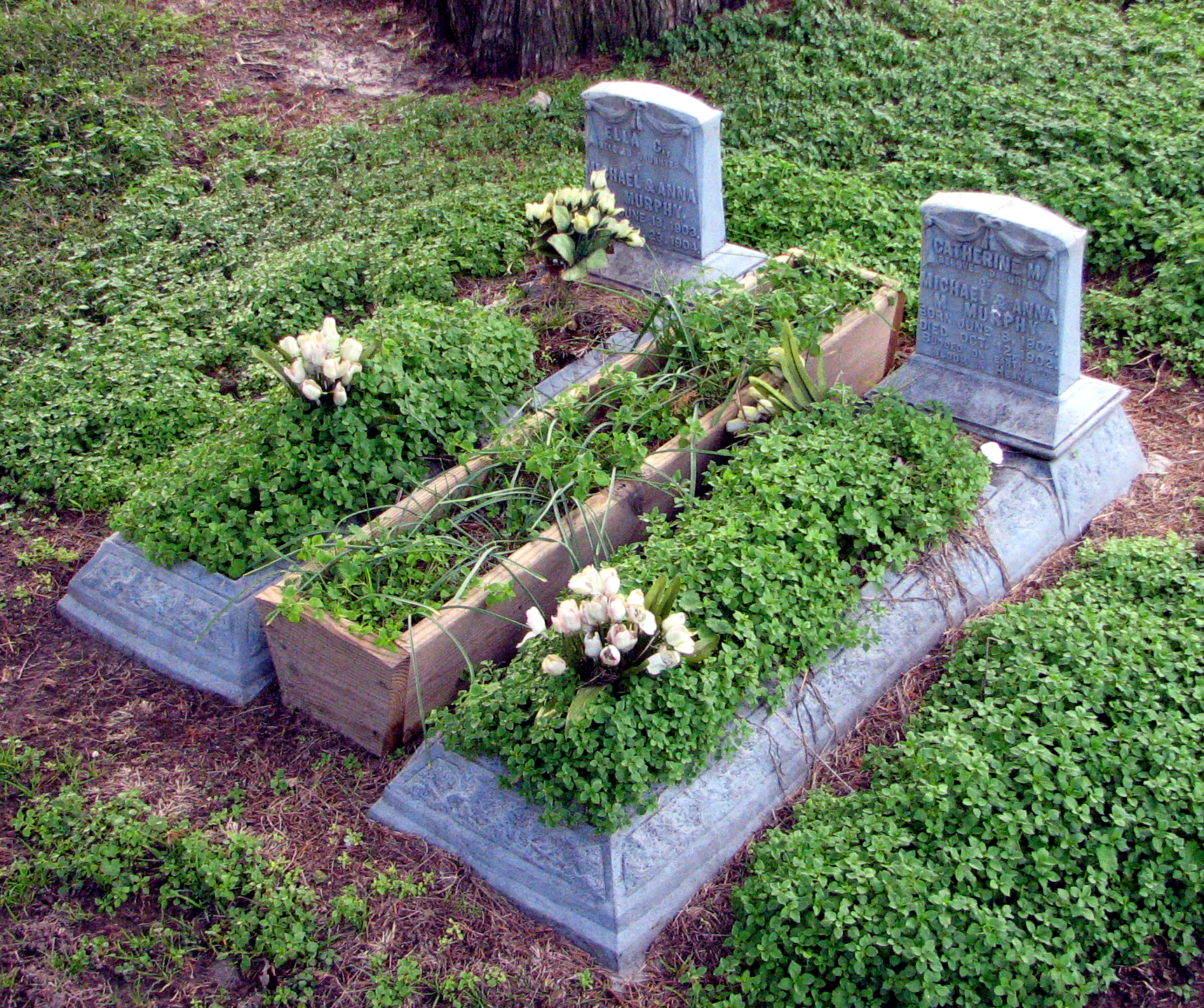
Budded on Earth to Bloom in Heaven
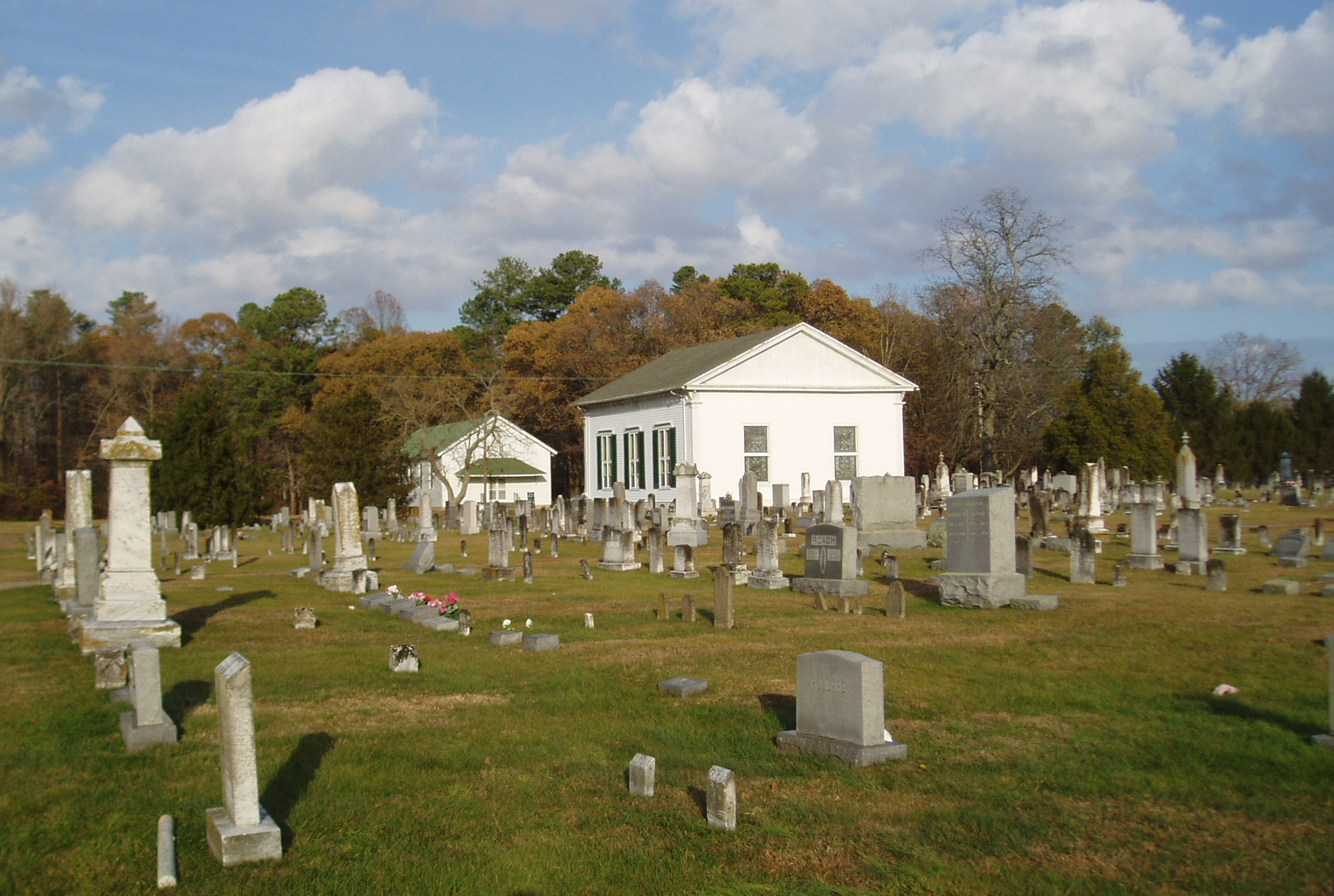
Blest be the tie that binds...
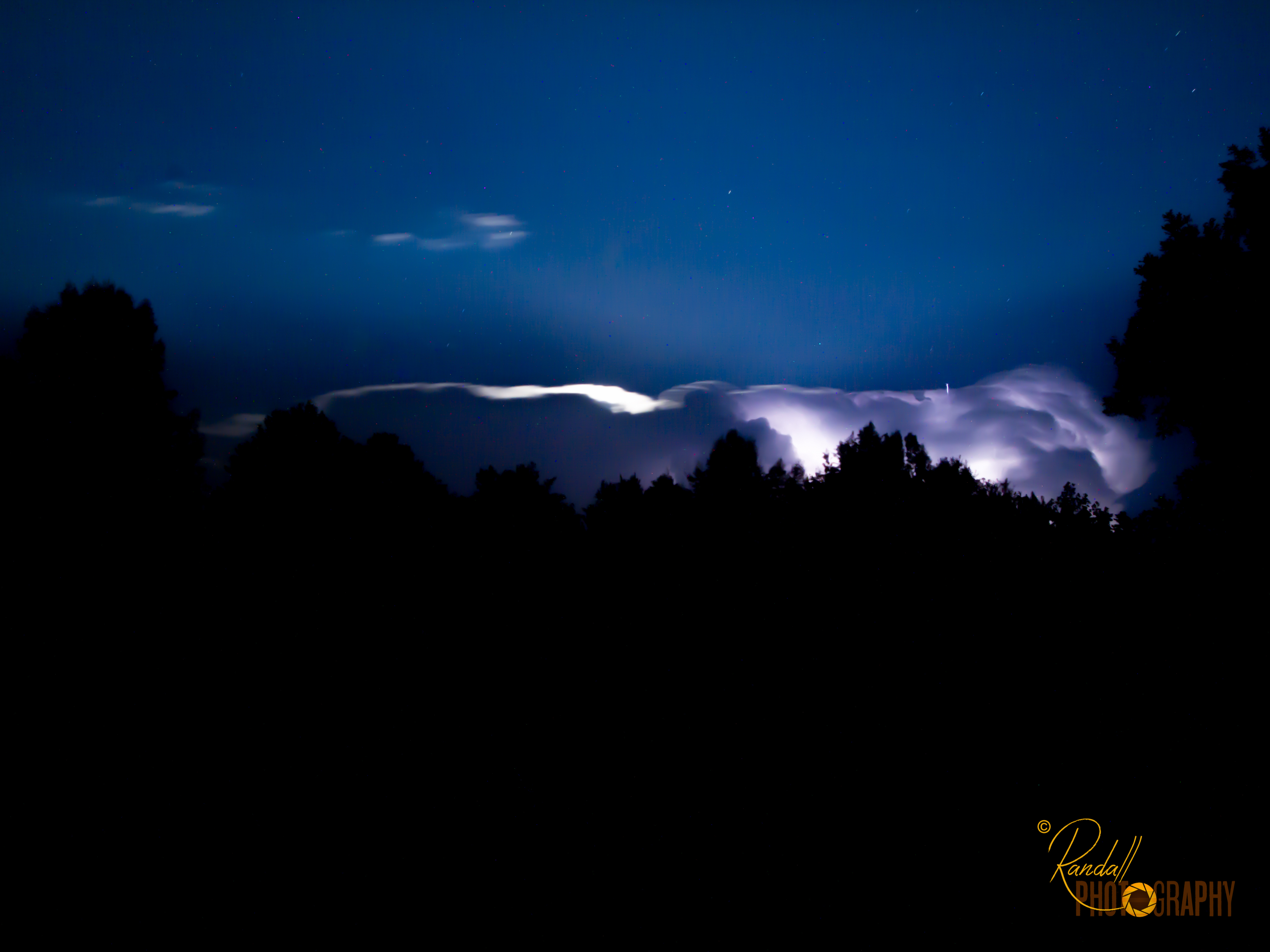
Night Lightning Storm

The Bright Moon
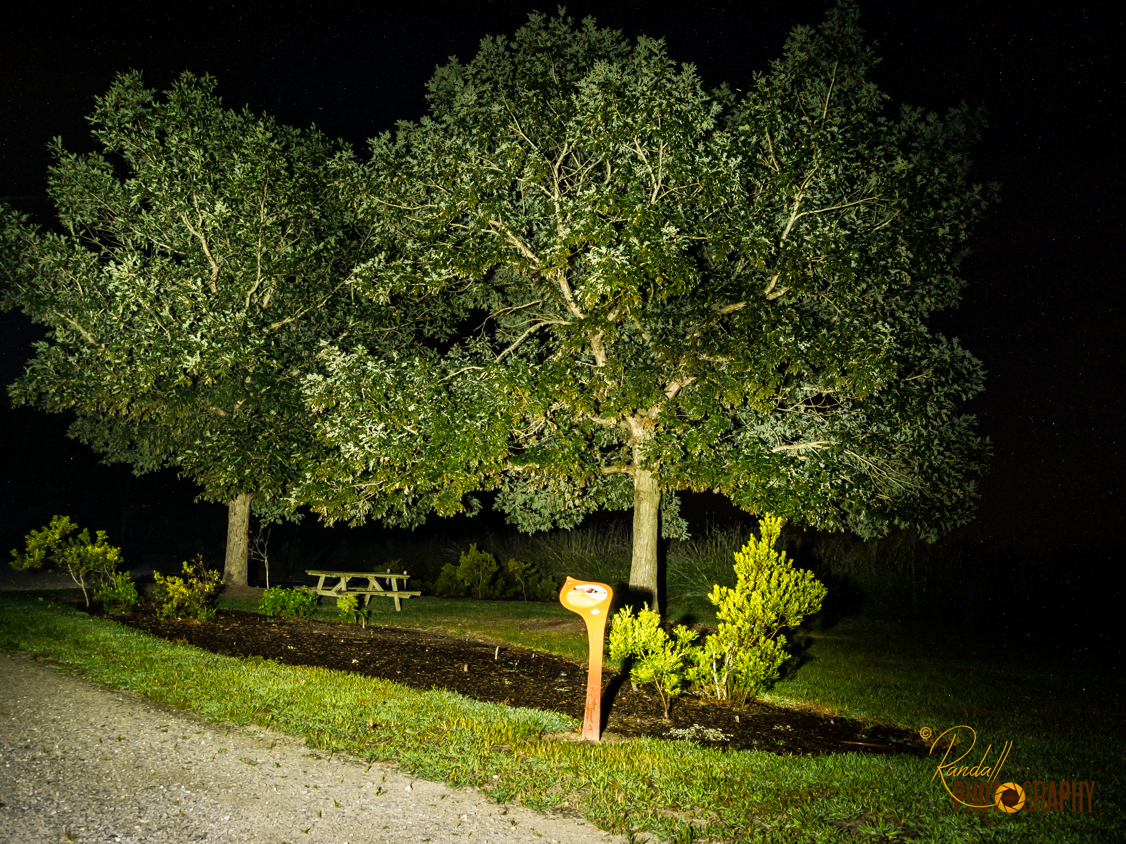
Light Painting in the Park - Trees

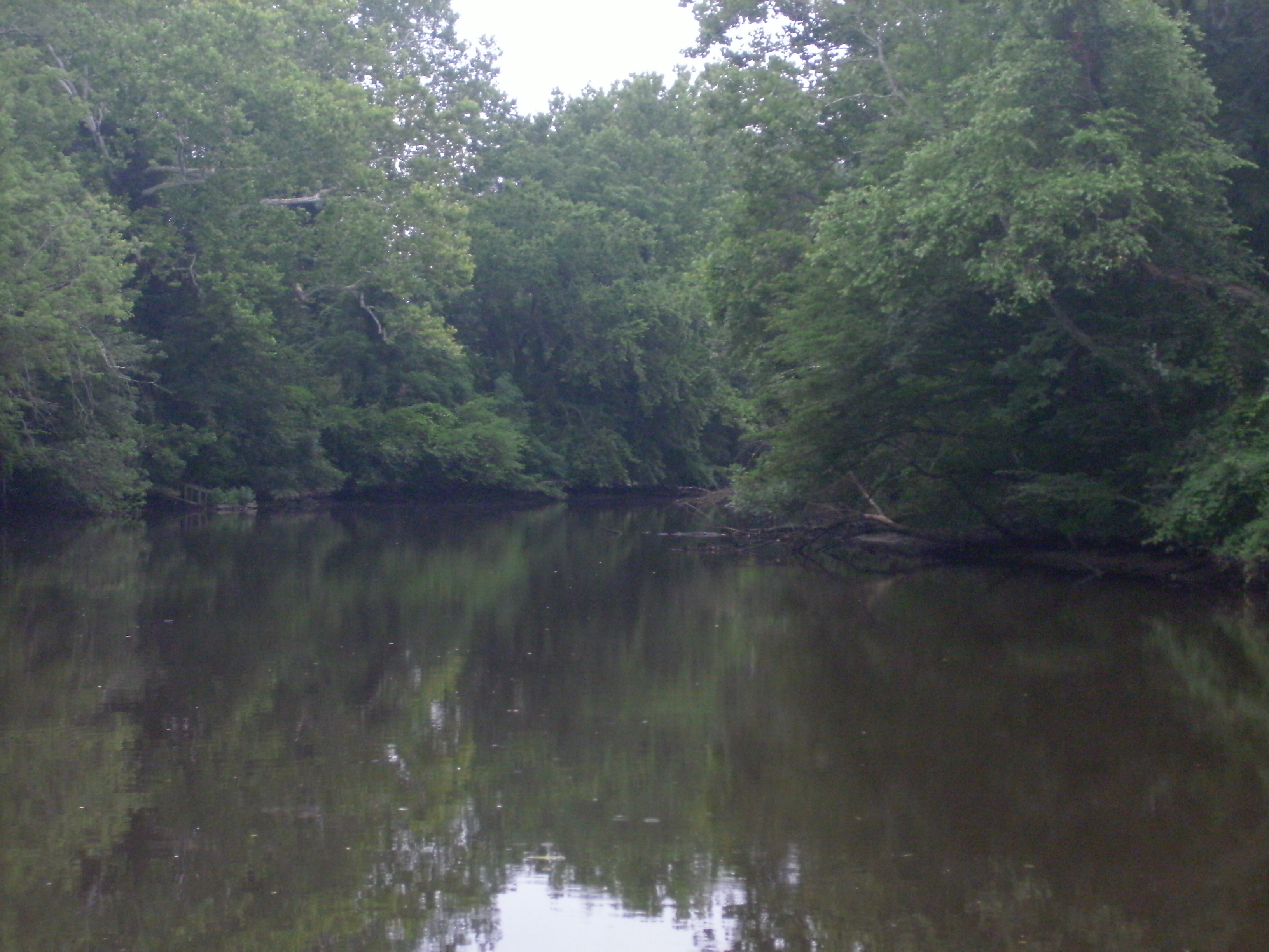
Choptank River
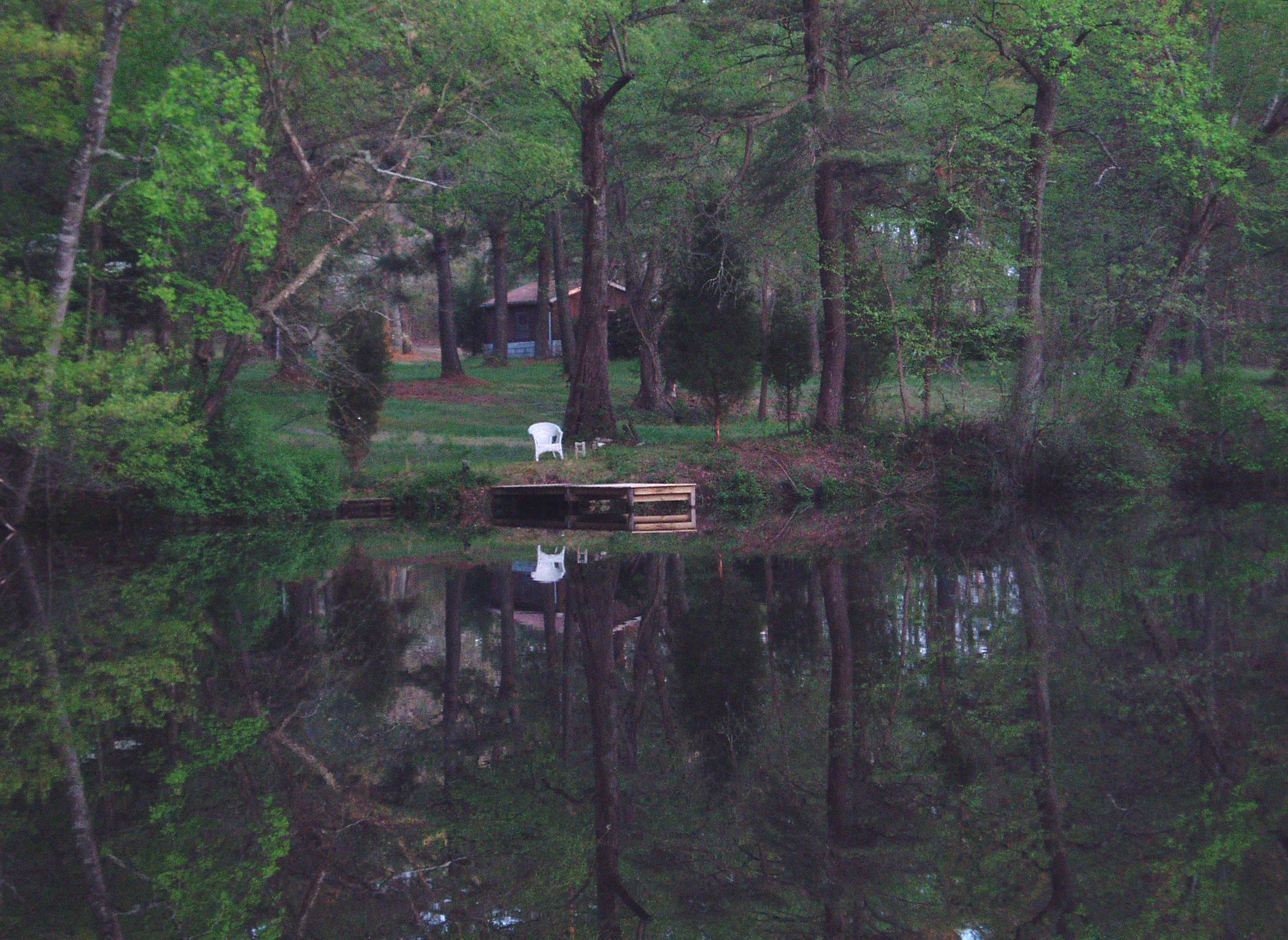
Who will sit there?
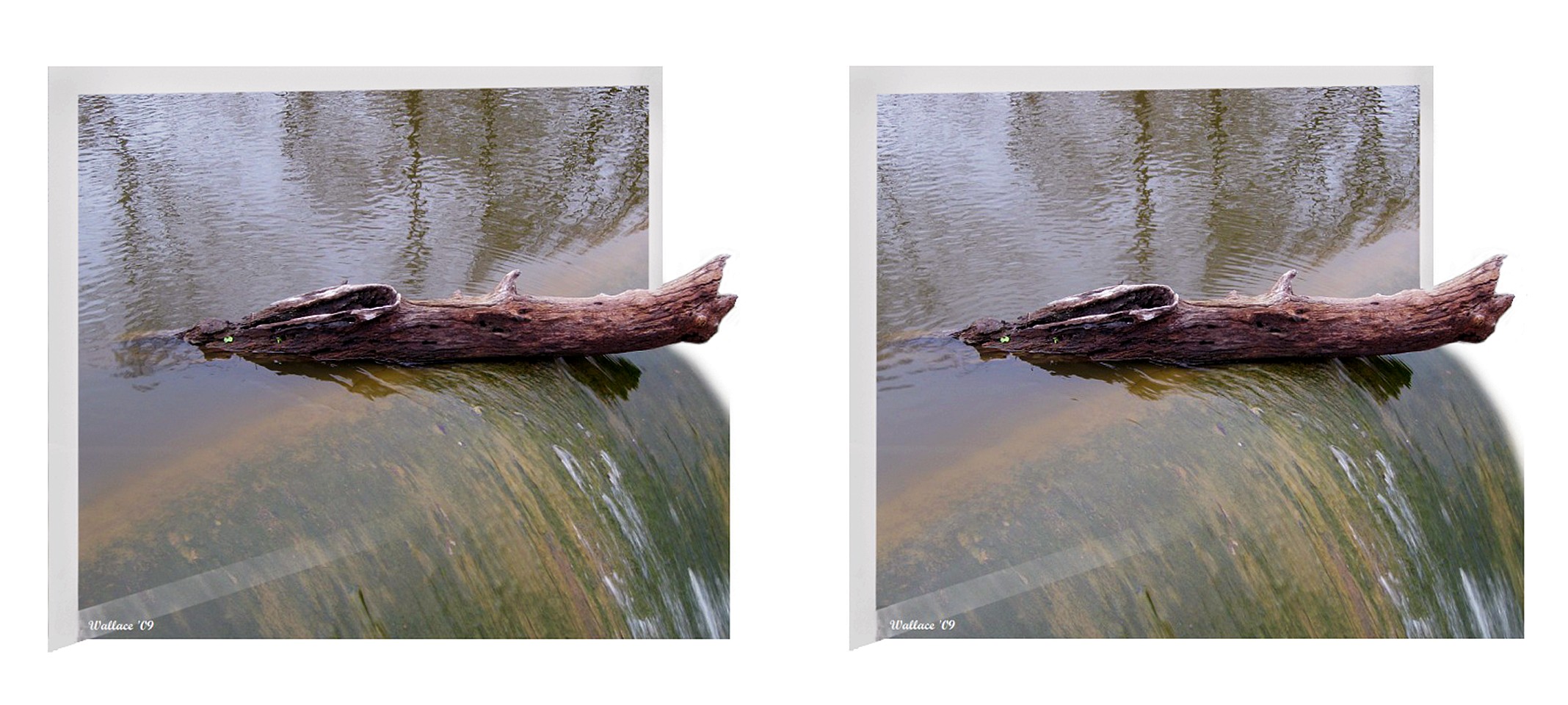
Wye Mills Lake Spill

Wye Mills Lake Spill
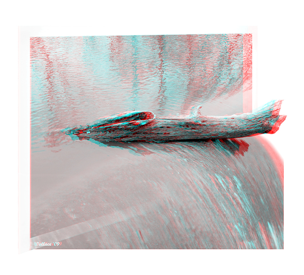
Wye Mills Lake Spill

Wye Mills Lake Spill

2012-11-27 Ruff 3451

Bank and Turn

Dreaming Landscape
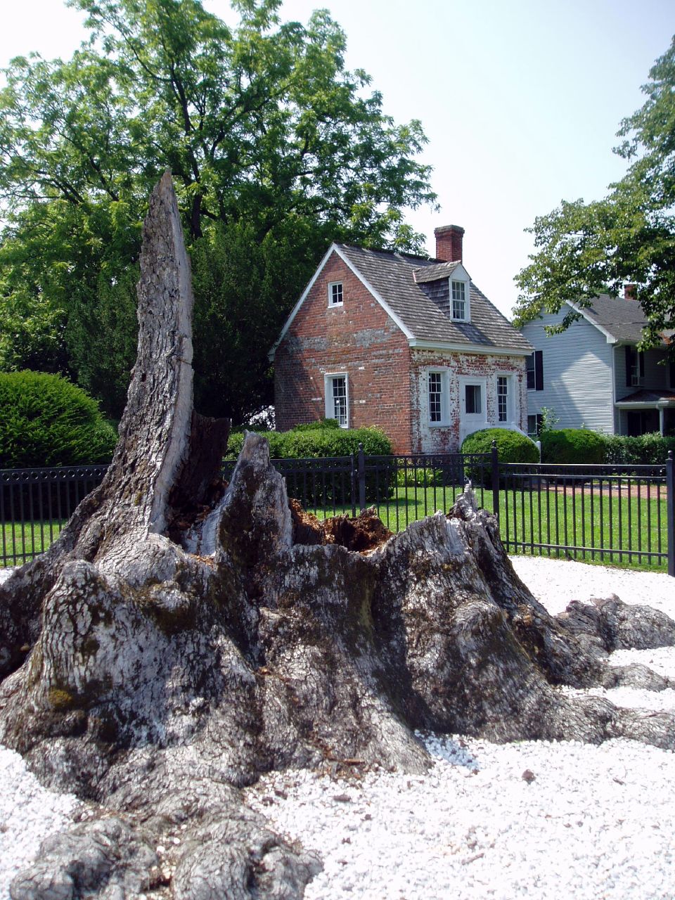
Wye Oak remains, 2004

Northern Lapwing
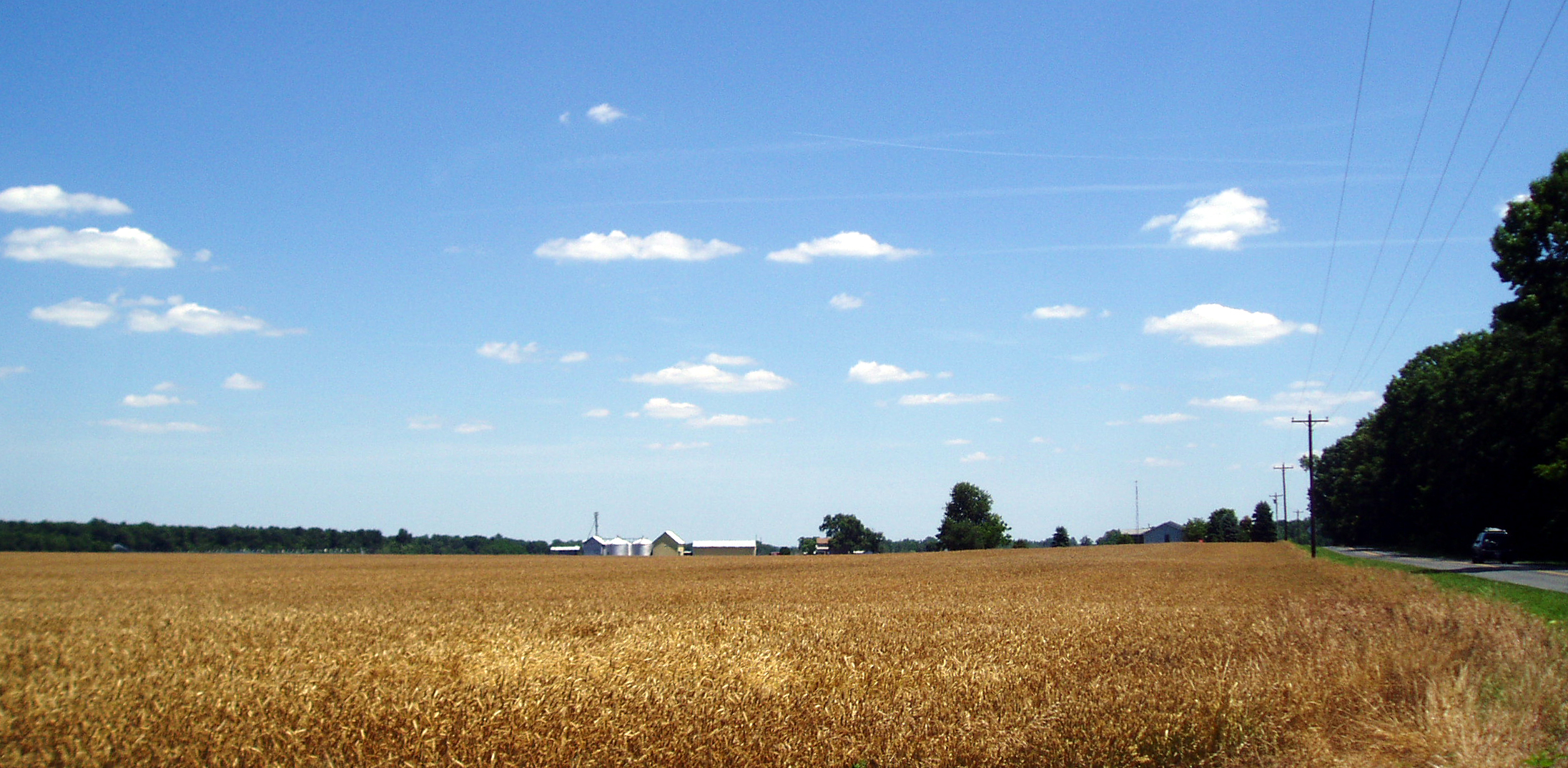
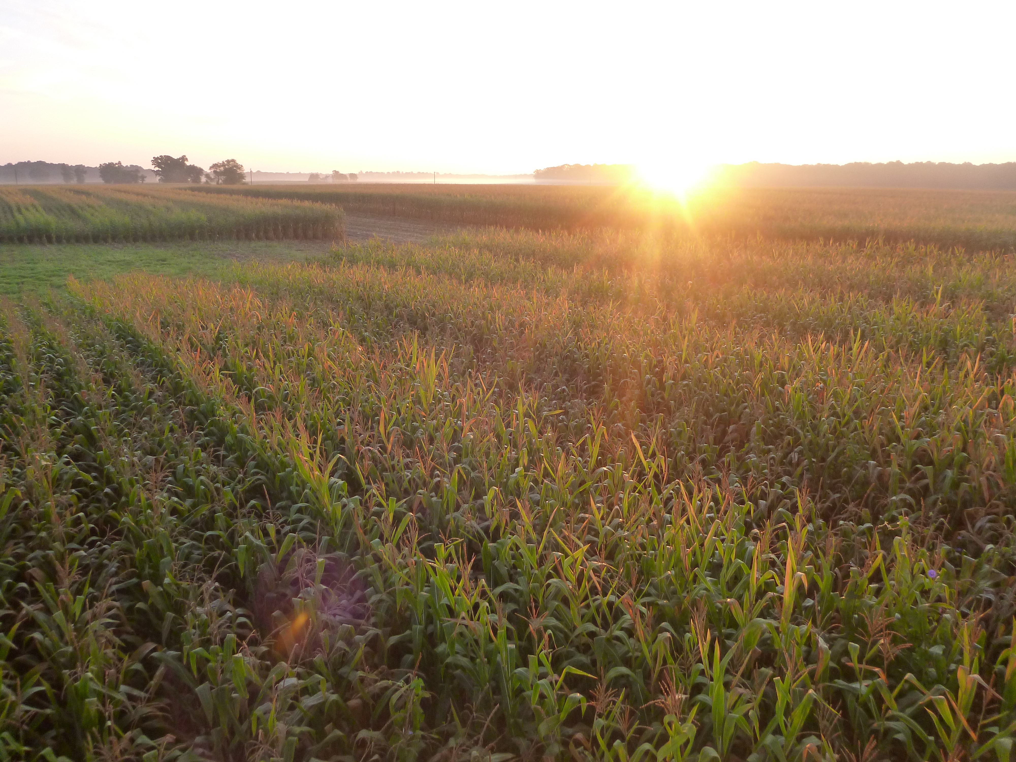
A Sea of Ripe Wheat

Upper Choptank River 2
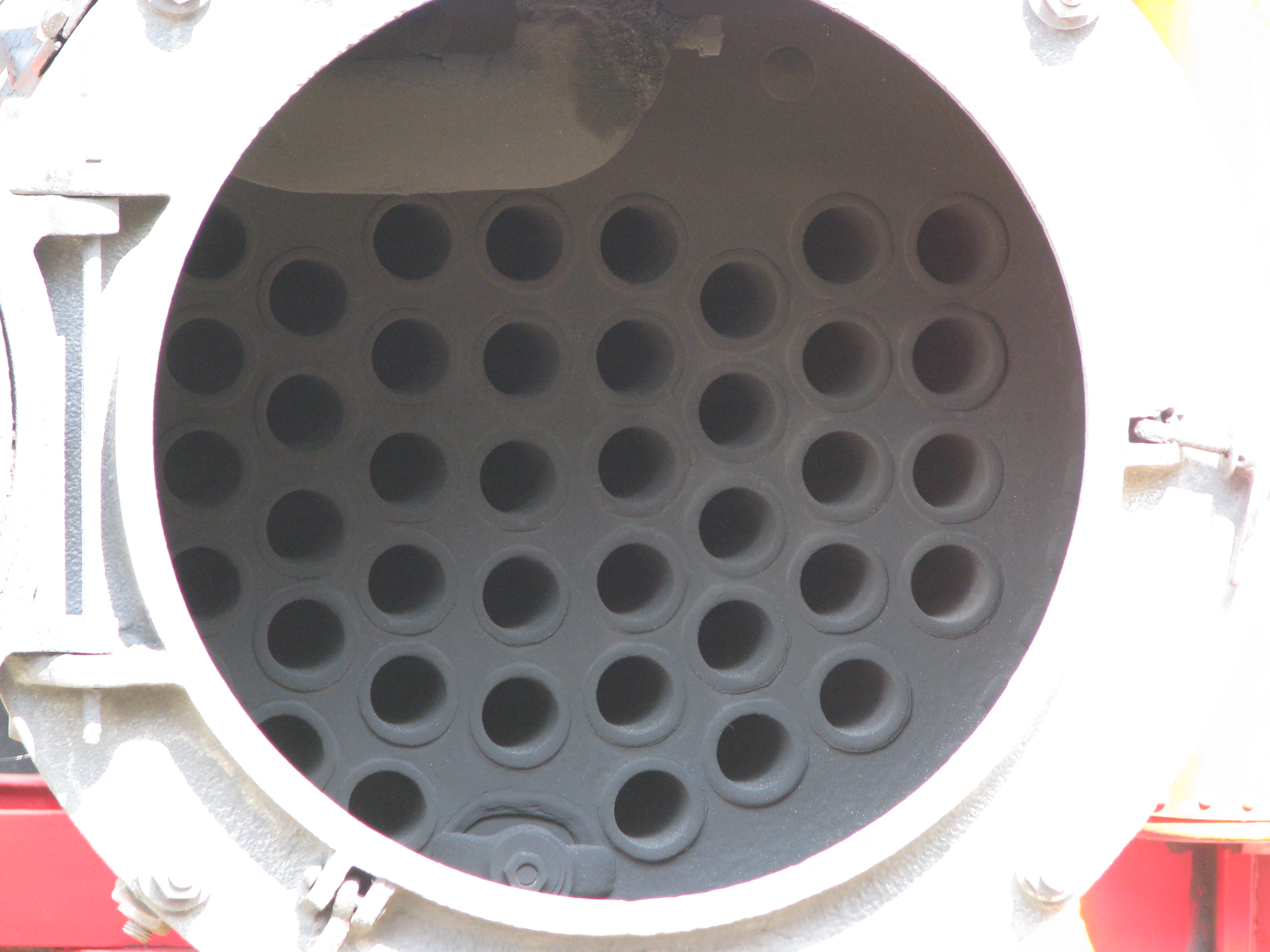
0681 View Inside Open Firebox Door

The Landscape In My Dreams

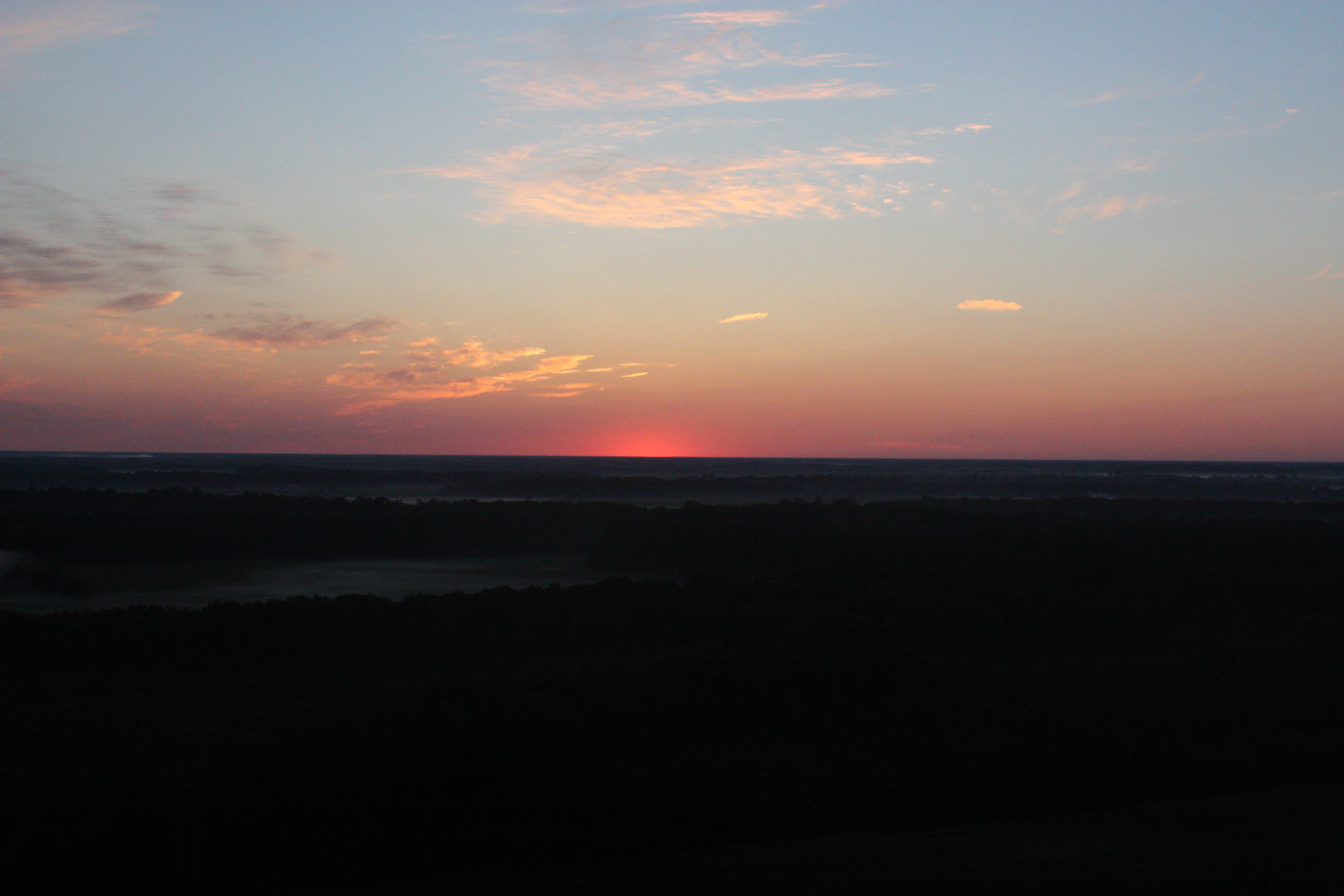
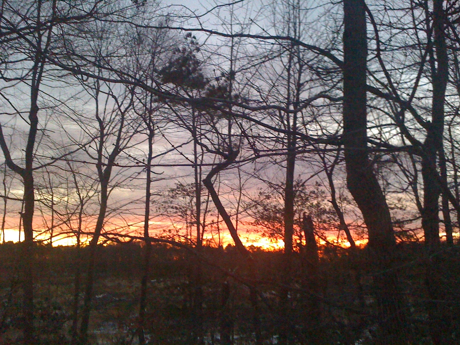
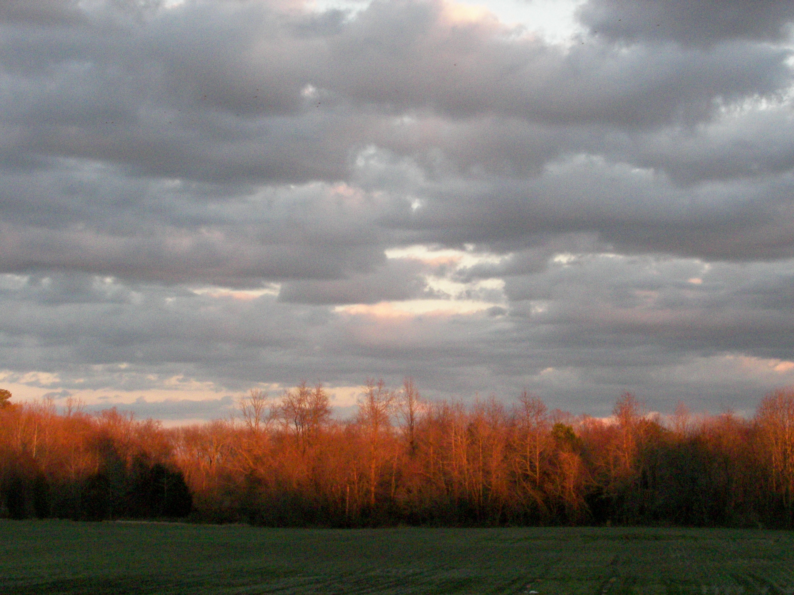
Autumn Sunset
Balloon-19
Balloon-36
Balloon-43
Balloon-30
Balloon-49

Farmland in Talbot County, Md.
Tuckahoe Creek at Hillsboro landing
Balloon-46

(109/365)~~the 12 stages of the tree,stage 4

Balloon-52

Balloon-53
Sunset in Easton, MD

365:46

Crack of dawn
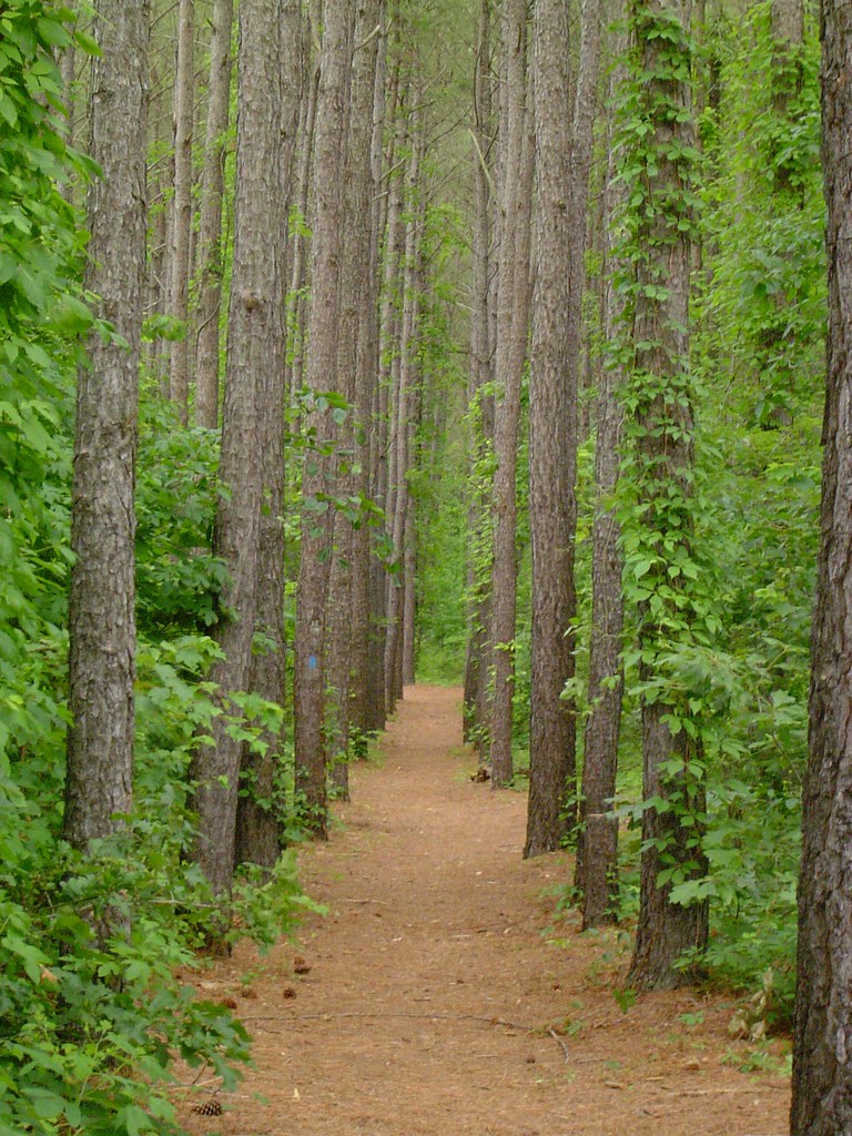
Serenity in Green
beautiful breaks
Topographic Map of Quail Run Rd, Denton, MD, USA
Find elevation by address:

Places near Quail Run Rd, Denton, MD, USA:
Hillsboro Rd, Denton, MD, USA
6, Hillsboro
Downes Station Rd, Ridgely, MD, USA
Orly Dr, Denton, MD, USA
11826 Holly Plains Dr
Martin Sutton Memorial Park
Caroline County
Pealiquor Landing Rd, Denton, MD, USA
Ridgely
Bridge St, Denton, MD, USA
101 Gay St
Robins Court
Denton
7, Ridgely
Ridgely Rd, Ridgely, MD, USA
Smith Landing Rd, Denton, MD, USA
Greensboro Rd, Denton, MD, USA
Vienna Dr, Denton, MD, USA
10738 Garland Rd
Fox Chase Cir, Ridgely, MD, USA
Recent Searches:
- Elevation of Lagasgasan, X+CQH, Tiaong, Quezon, Philippines
- Elevation of Rojo Ct, Atascadero, CA, USA
- Elevation of Flagstaff Drive, Flagstaff Dr, North Carolina, USA
- Elevation of Avery Ln, Lakeland, FL, USA
- Elevation of Woolwine, VA, USA
- Elevation of Lumagwas Diversified Farmers Multi-Purpose Cooperative, Lumagwas, Adtuyon, RV32+MH7, Pangantucan, Bukidnon, Philippines
- Elevation of Homestead Ridge, New Braunfels, TX, USA
- Elevation of Orchard Road, Orchard Rd, Marlborough, NY, USA
- Elevation of 12 Hutchinson Woods Dr, Fletcher, NC, USA
- Elevation of Holloway Ave, San Francisco, CA, USA