Elevation of 3, Centreville, MD, USA
Location: United States > Maryland > Queen Anne's County >
Longitude: -76.062397
Latitude: 39.0383837
Elevation: 17m / 56feet
Barometric Pressure: 101KPa
Elevation Map:
Satellite Map:
Related Photos:
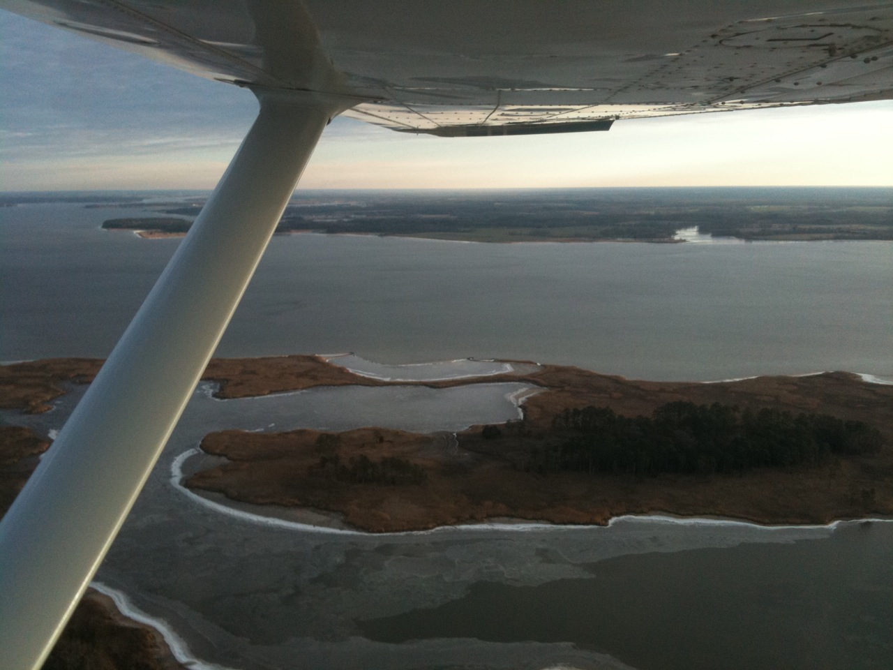
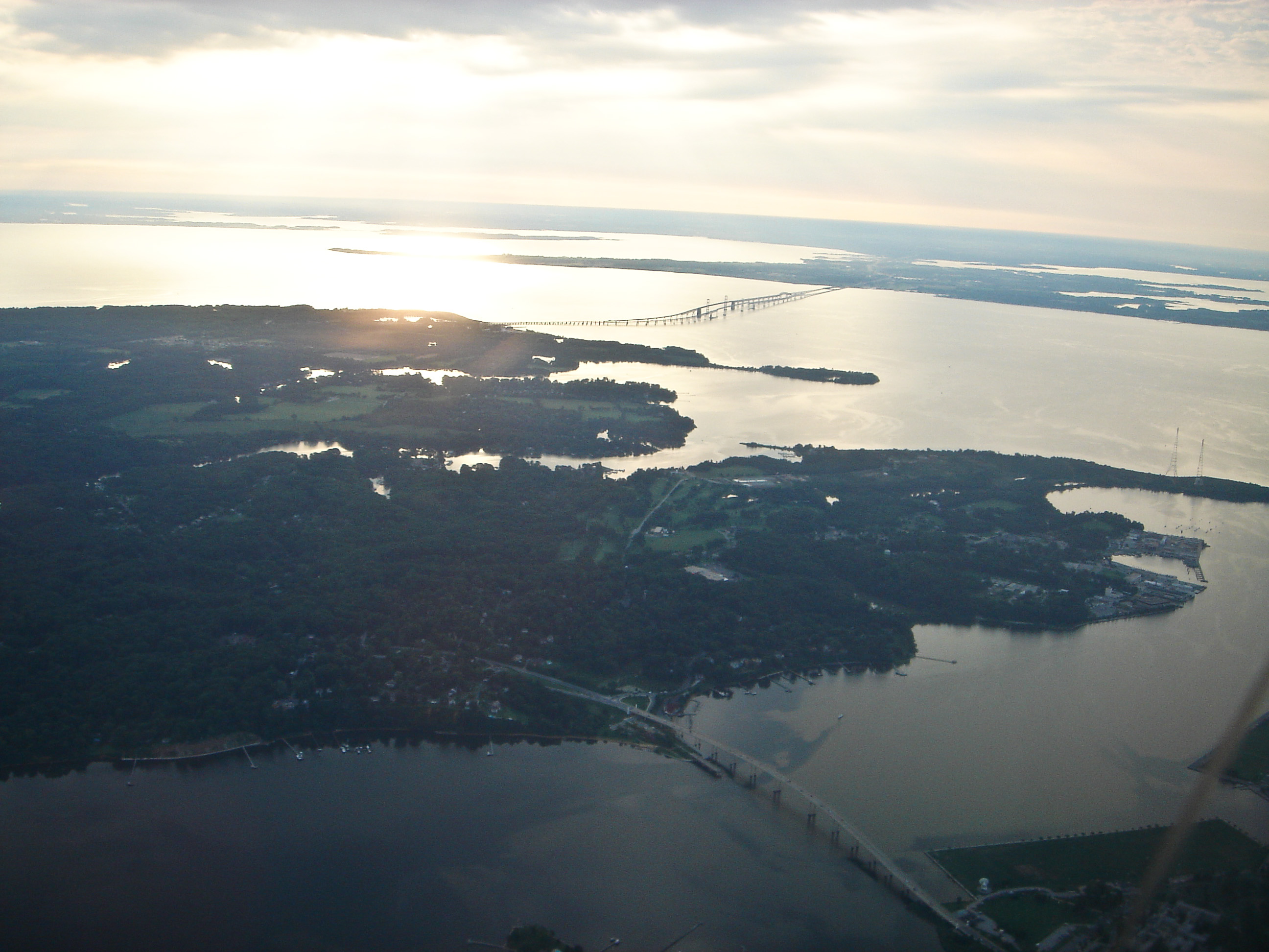
Aerial view of Hale Cove
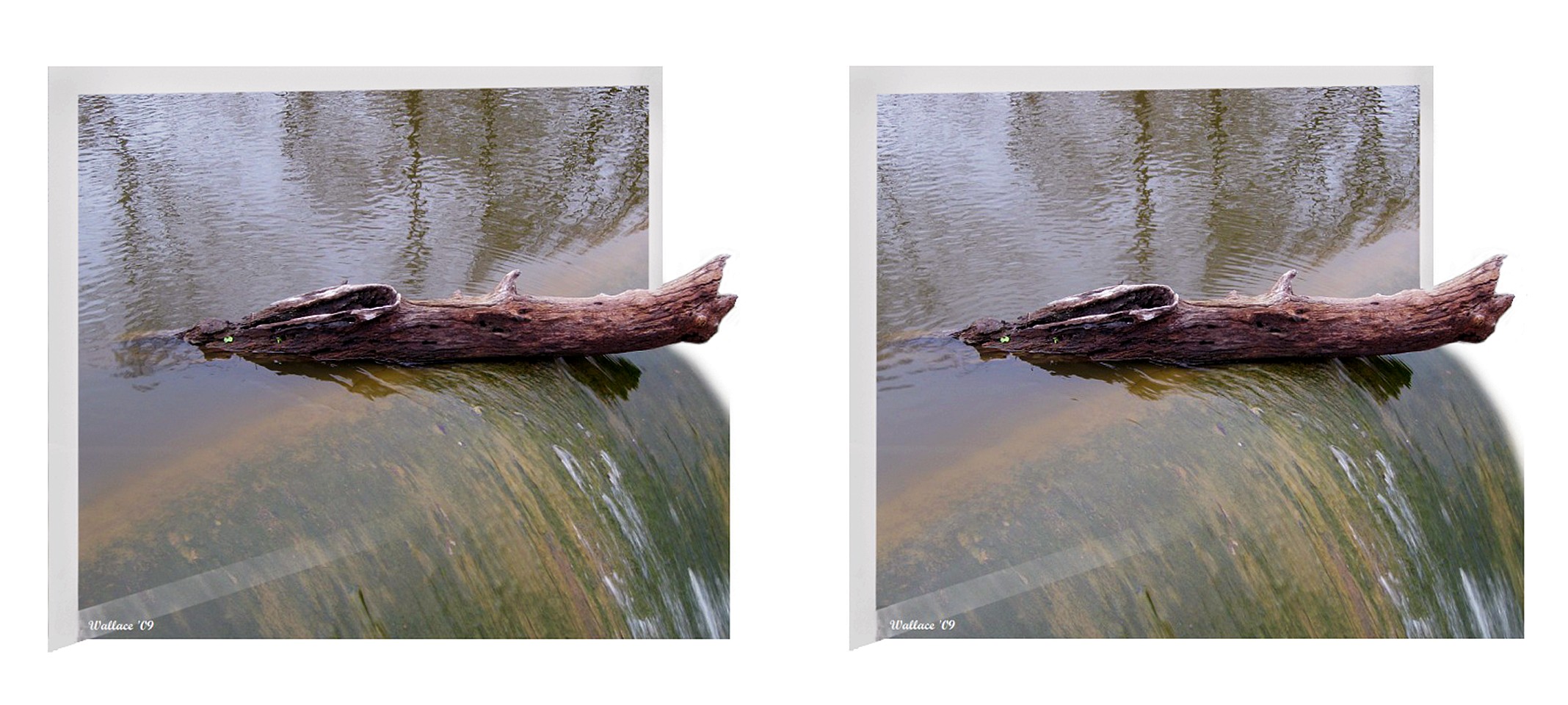
Wye Mills Lake Spill

View from Pier
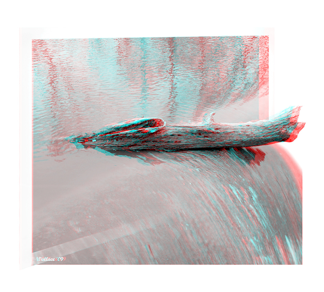
Wye Mills Lake Spill

Light Trail Under the Moon
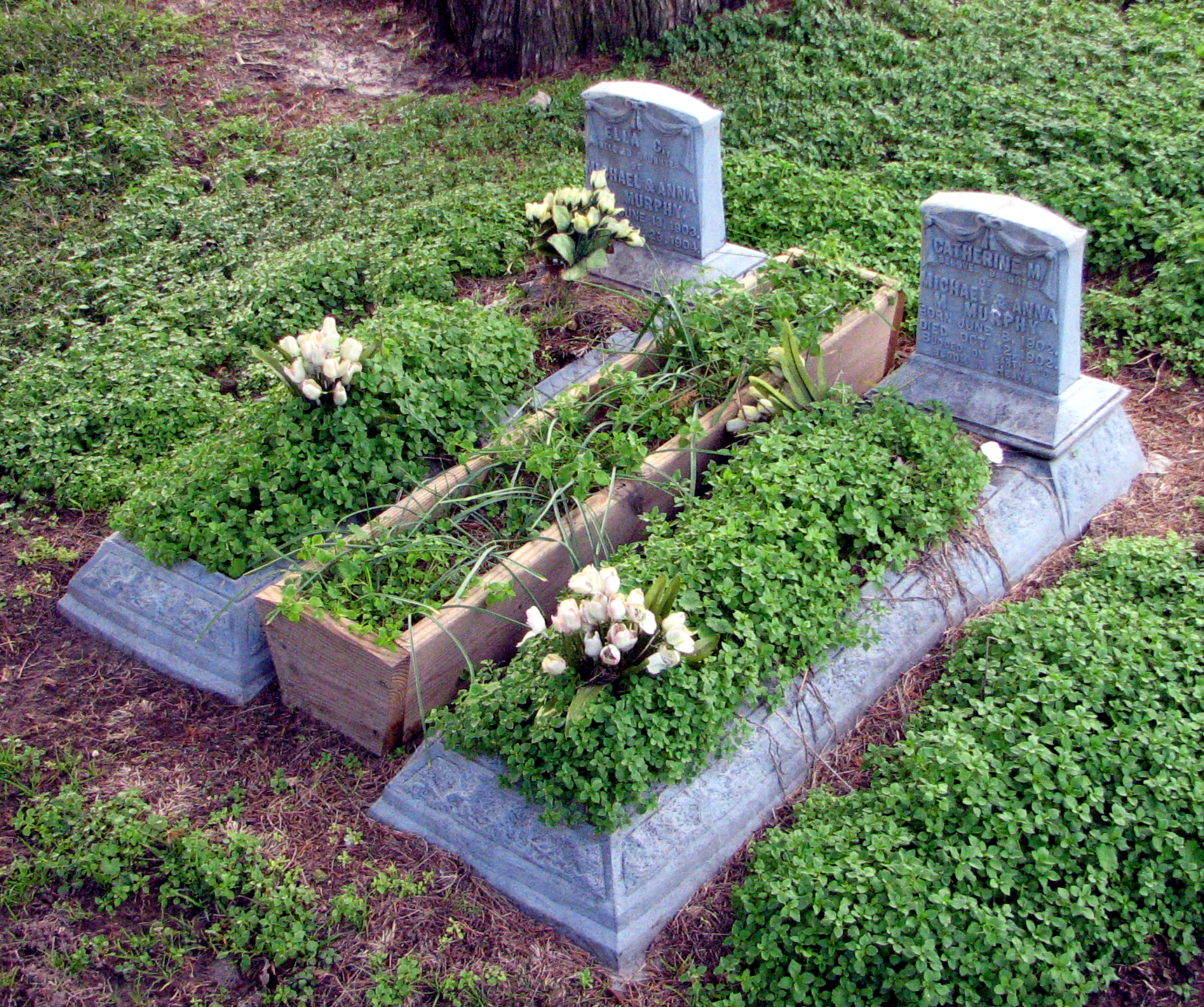
Budded on Earth to Bloom in Heaven

Wye Mills Lake Spill
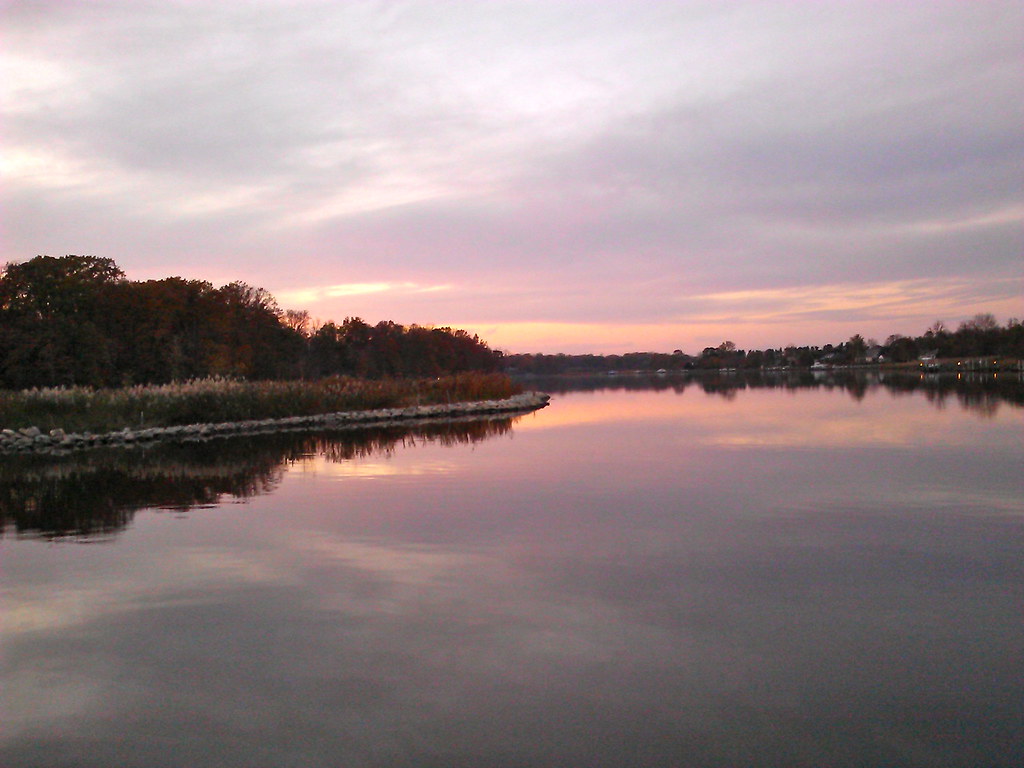
View of Corsica River

Eastern Neck NWR near Rock Hall MD

Rear-1- View of 4 Houses

St. Peter's Church Historical Marker
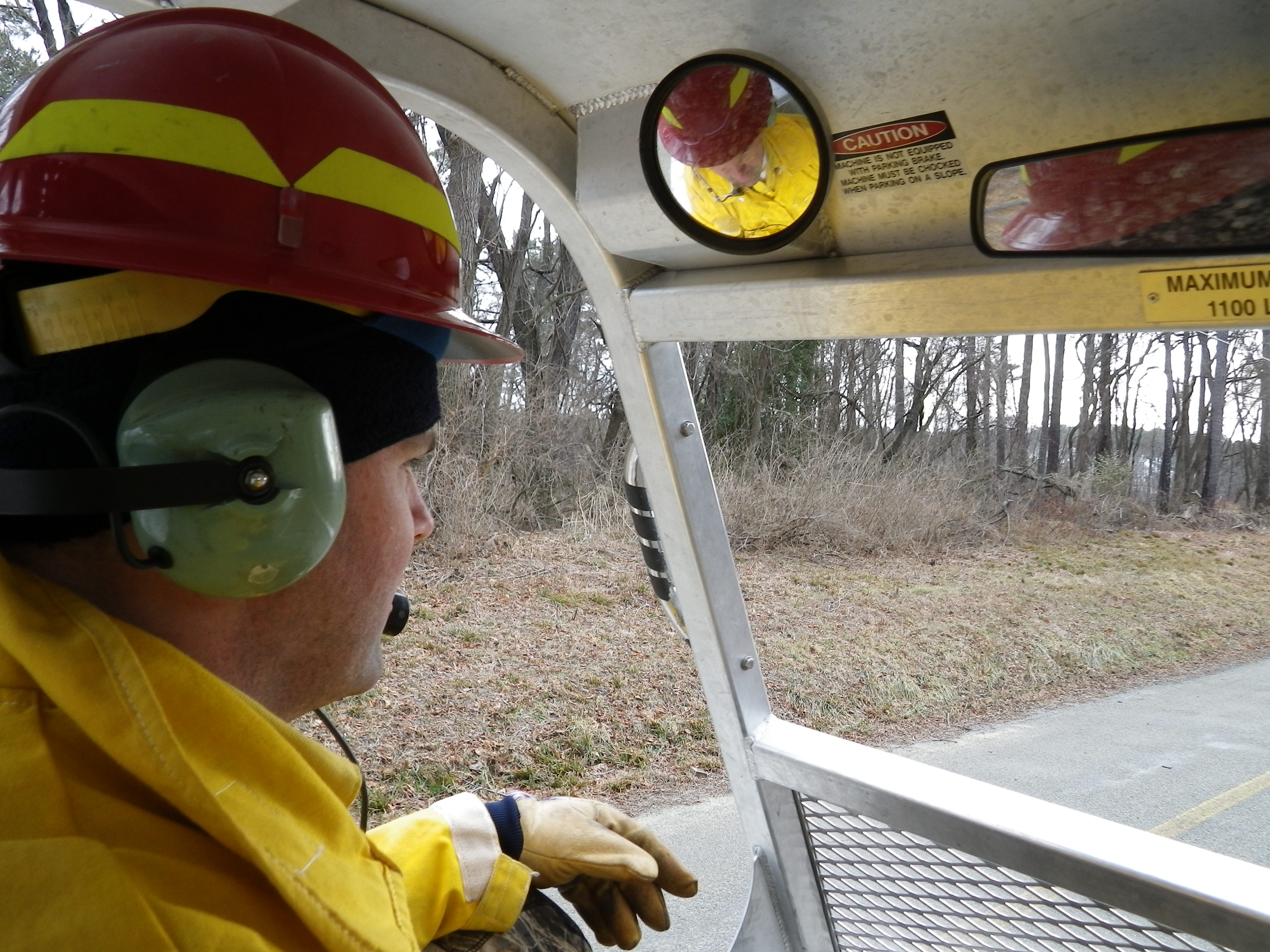
View from inside Marshmaster
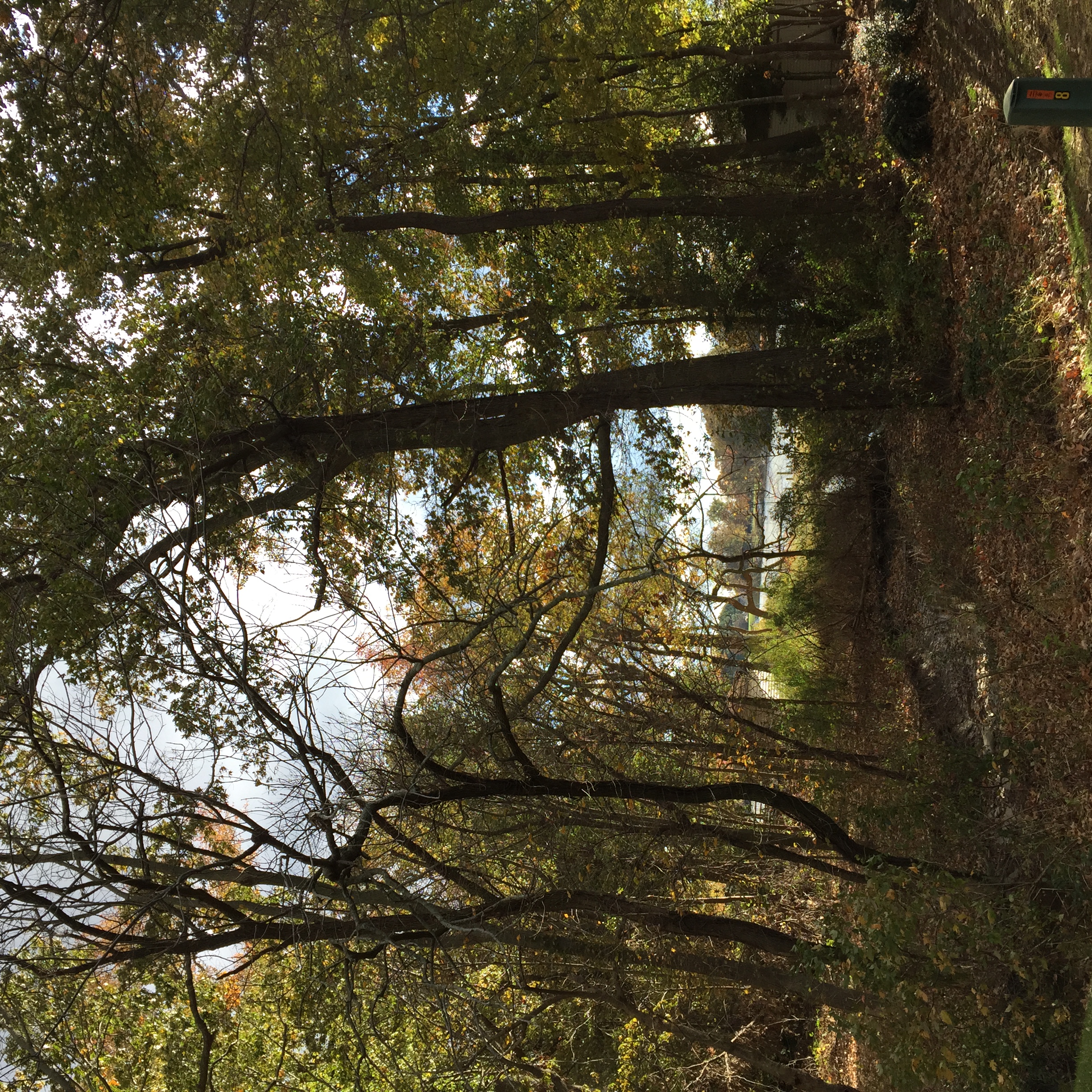
A blustery Fall day on Hickory Ridge.
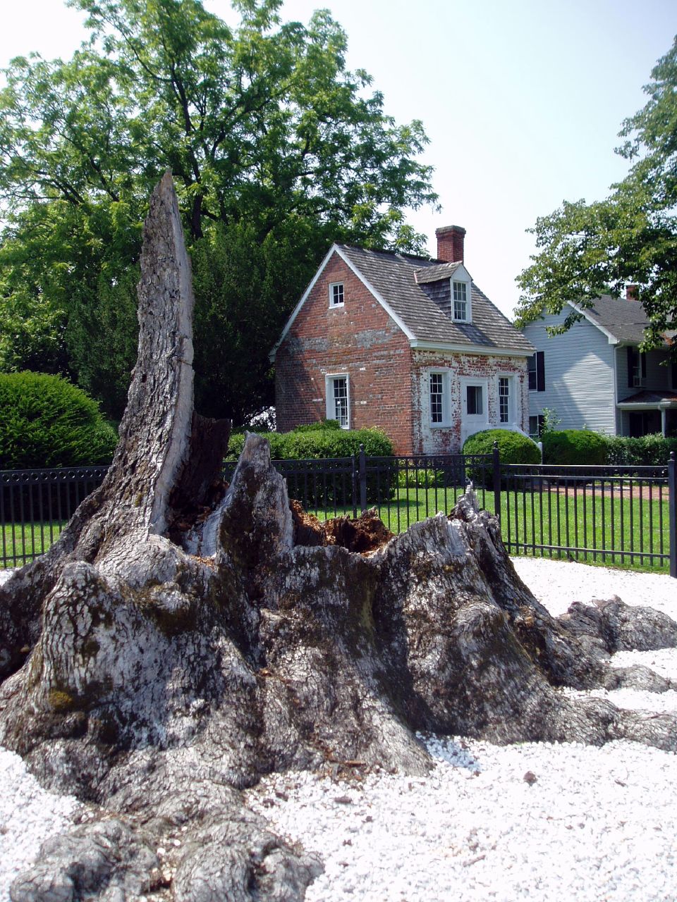
Wye Oak remains, 2004
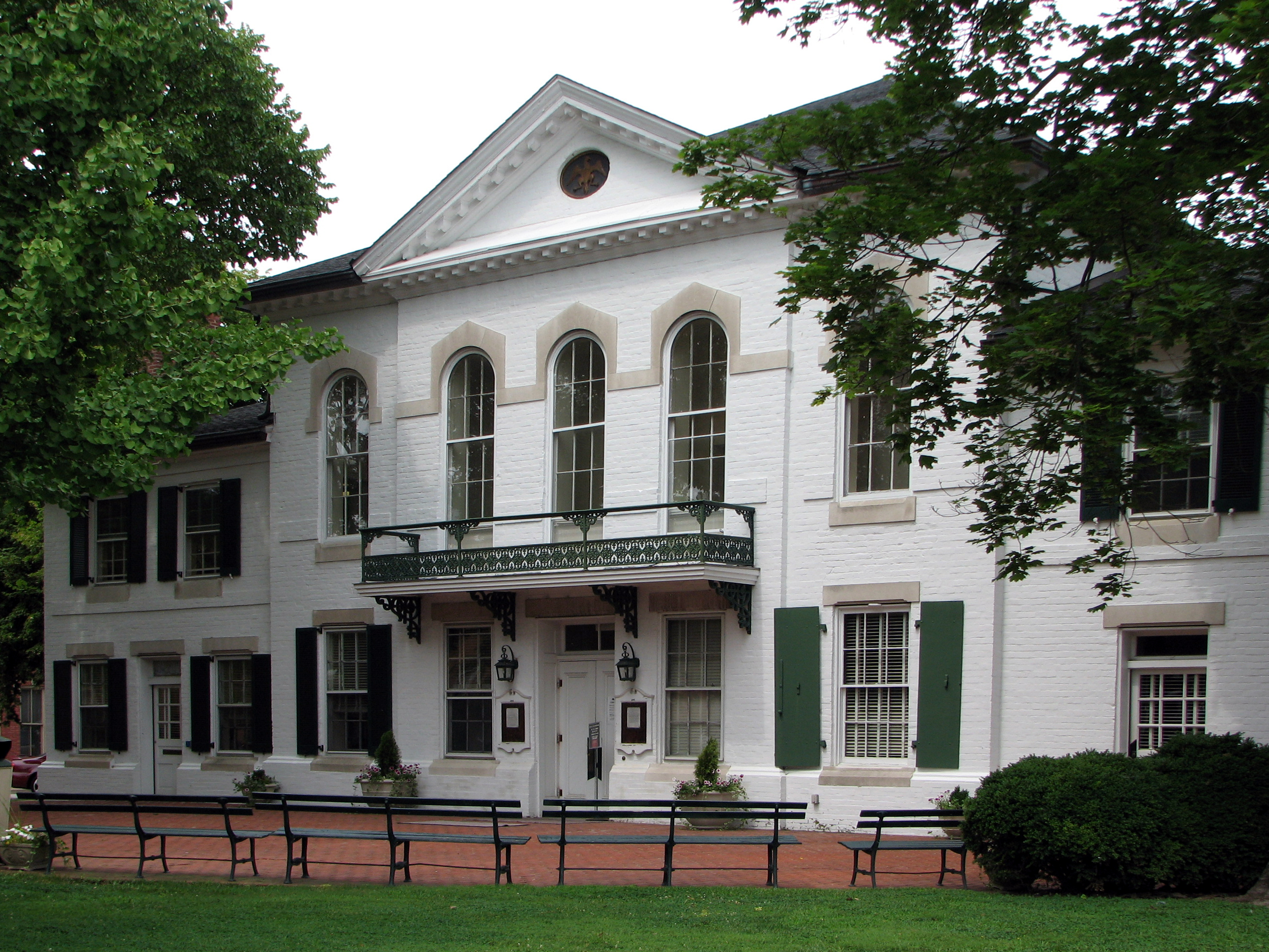
Queen Anne's County Courthouse, 1796

Front-1 - View of House
Islip to BWI (16)
View of Corsica River

View of Corsica River

Revolution? What Revolution?

Revolutionary Patriot
A Story Untold
Rt. 50

Eastern Neck NWR - Dock Sunset (3 of 5)
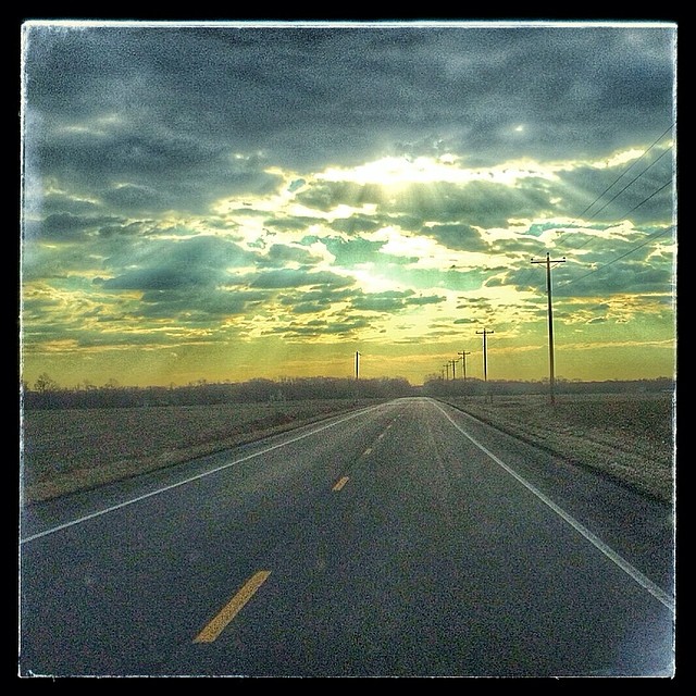
Image created with #Snapseed

(3) Geese on the move at dusk
IMG_0361.JPG
IMG_0362.JPG
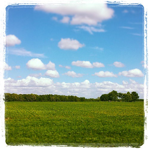
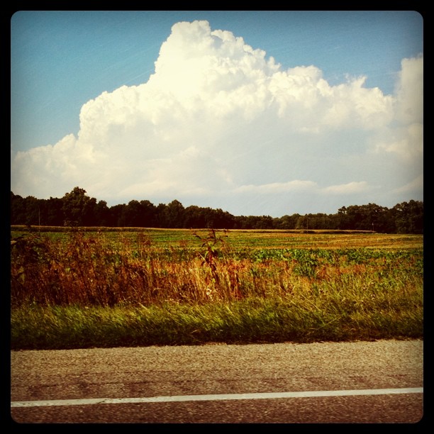
Open Fields of Maryland

Plastic barrel in Eastern Neck National Wildlife Refuge

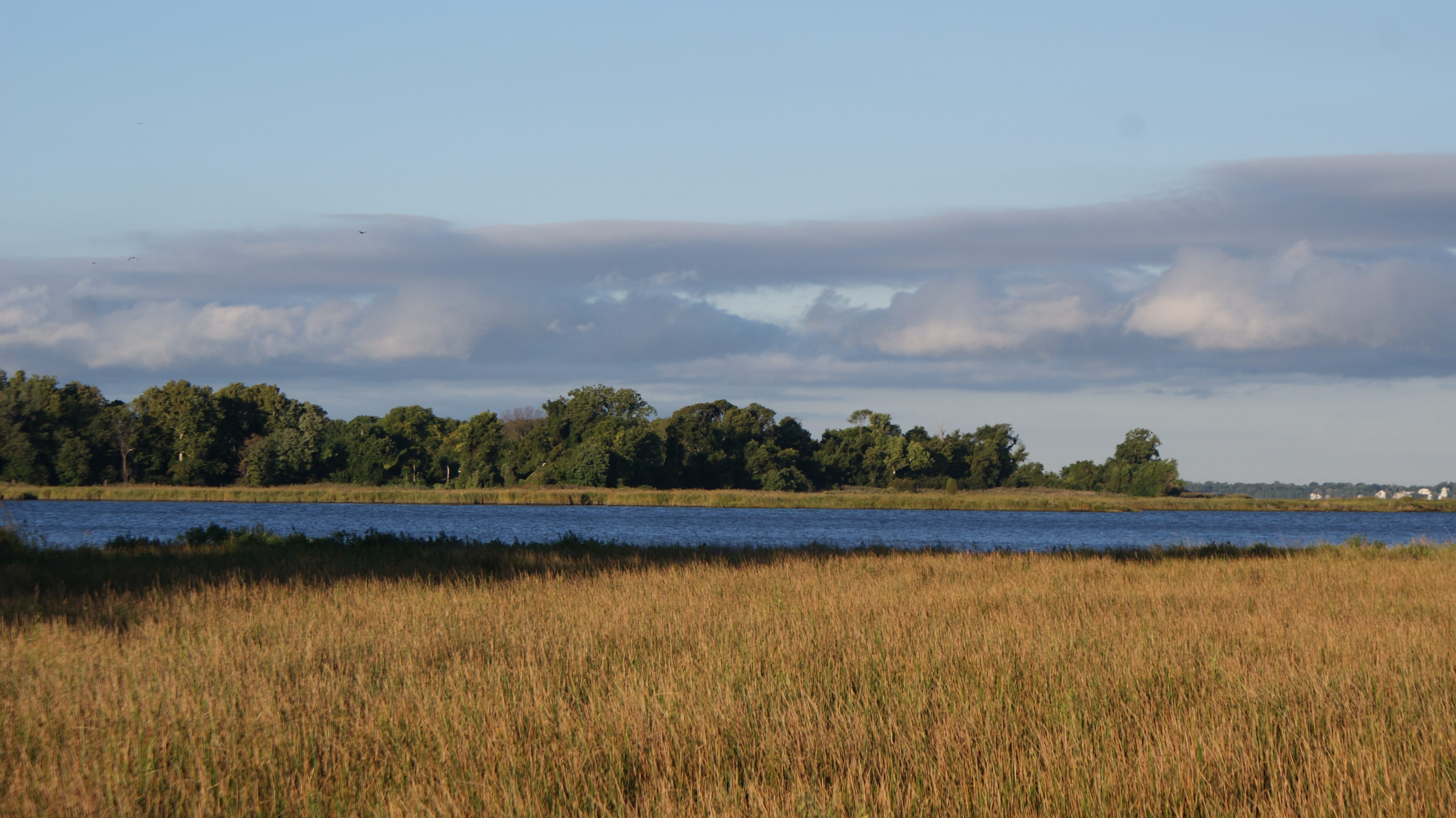
Blue sky and clouds through sea grass

2014 04-01 The Golden Hour by Watertown, South Dakota, photographer Scott Shepahrd
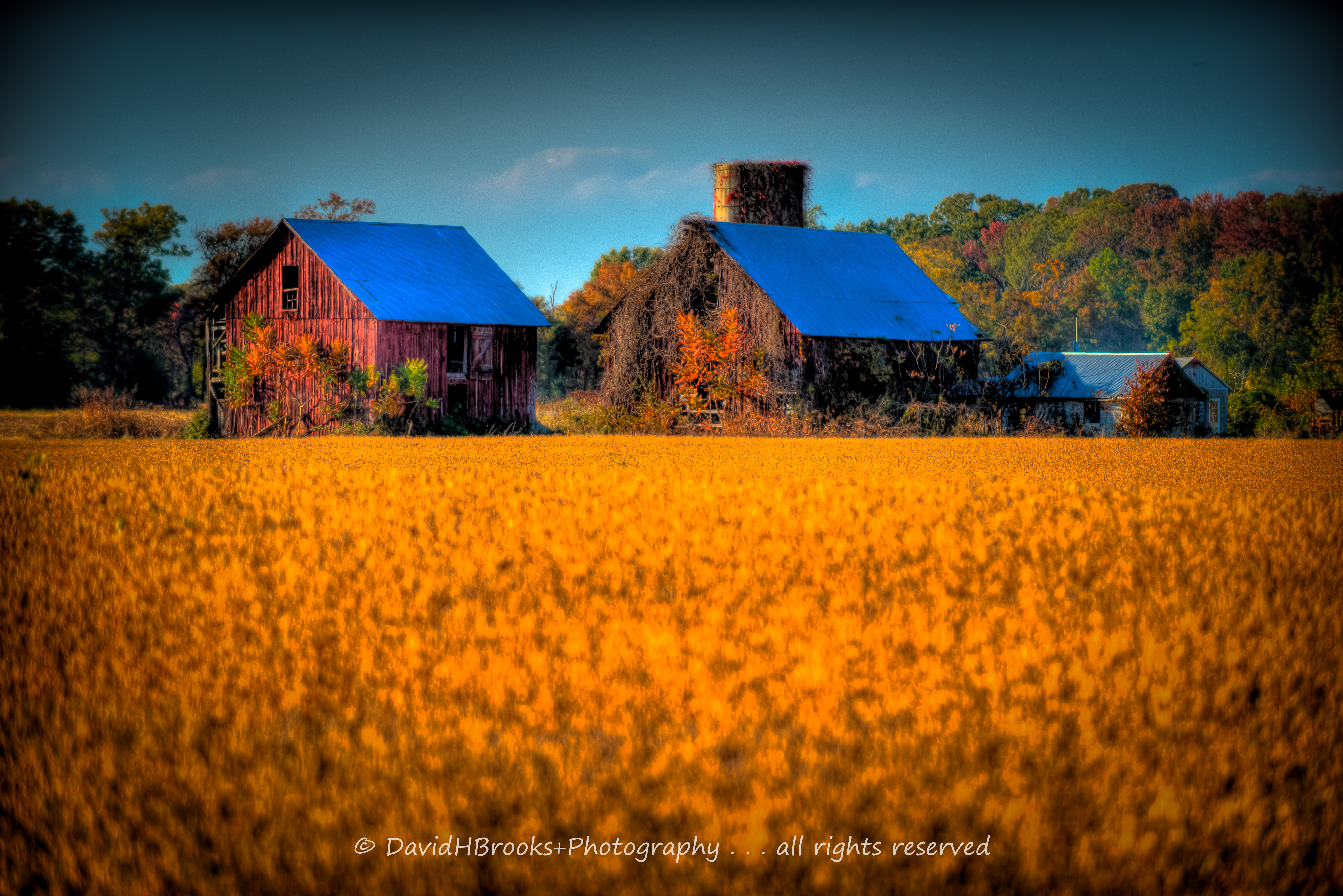
GOLDEN FIELDS & BLUE ROOFS

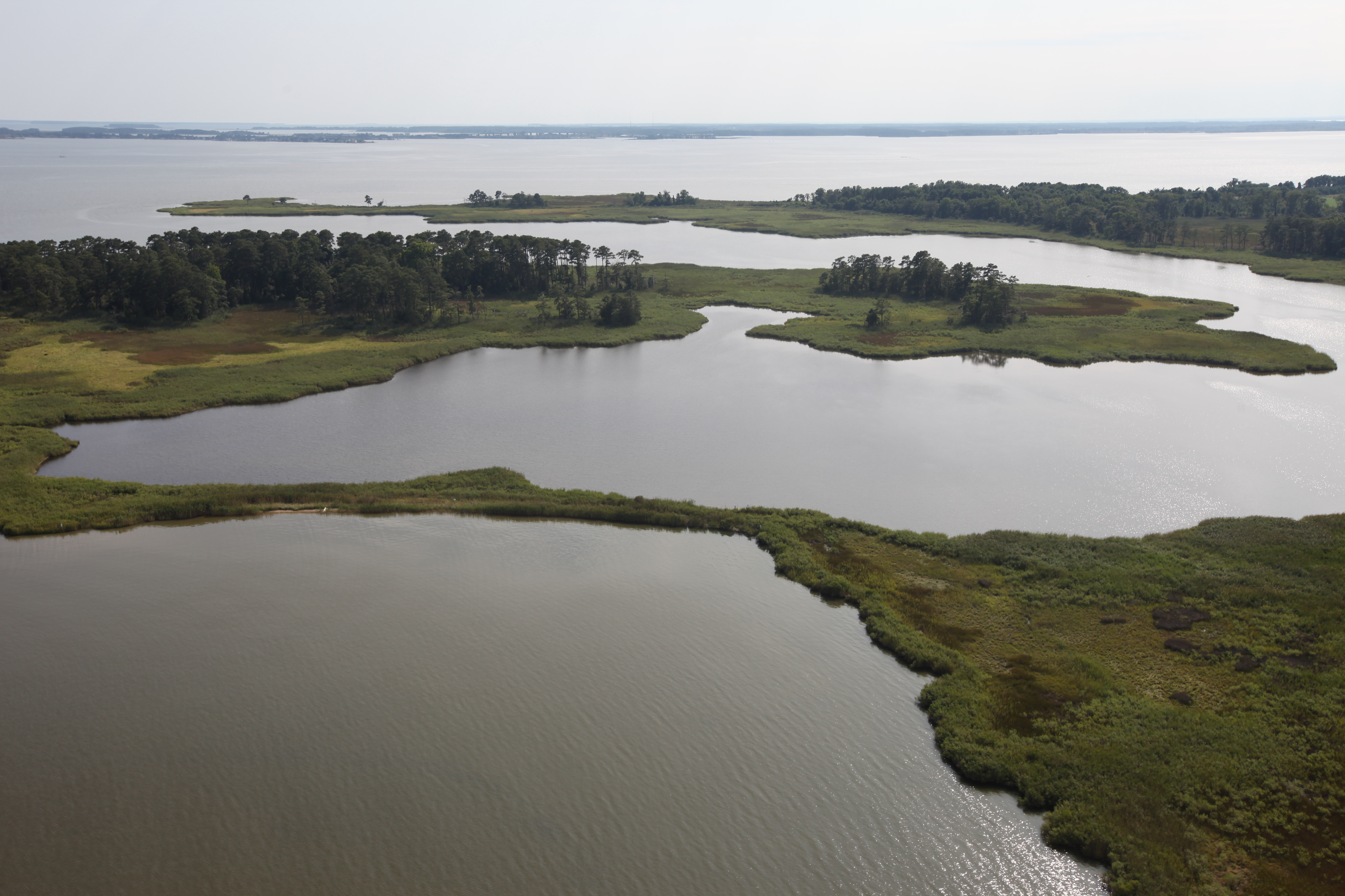
Chesapeake Bay and Eastern Neck NWR 5

Eastern Neck National Wildlife Refuge 7
Eastern Neck National Wildlife Refuge

GOLDEN FIELDS & BLUE ROOFS

Eastern Neck National Wildlife Refuge 6
Hail Cove, Maryland

Chesapeake Bay Boating wake
Serenity in Green

Nectar For Two
Topographic Map of 3, Centreville, MD, USA
Find elevation by address:

Places in 3, Centreville, MD, USA:
Places near 3, Centreville, MD, USA:
Centreville, MD, USA
615 Little Kidwell Ave
Little Kidwell Avenue
218 Green St
Centreville
126 Concerto Ave
Symphony Way
208 Corsica St
125 Quail Run Dr
122 Fair Brook Way
122 E Brook Dr
111 Cody Ln
7 Cody Ln
Fort Point Road
340 Shrewsbury Farm Ln
900 Spaniard Neck Rd
Hope Rd, Centreville, MD, USA
131 Carville Price Rd
Deerfield Ct, Centreville, MD, USA
Brick Schoolhouse Rd, Centreville, MD, USA
Recent Searches:
- Elevation of Corso Fratelli Cairoli, 35, Macerata MC, Italy
- Elevation of Tallevast Rd, Sarasota, FL, USA
- Elevation of 4th St E, Sonoma, CA, USA
- Elevation of Black Hollow Rd, Pennsdale, PA, USA
- Elevation of Oakland Ave, Williamsport, PA, USA
- Elevation of Pedrógão Grande, Portugal
- Elevation of Klee Dr, Martinsburg, WV, USA
- Elevation of Via Roma, Pieranica CR, Italy
- Elevation of Tavkvetili Mountain, Georgia
- Elevation of Hartfords Bluff Cir, Mt Pleasant, SC, USA