Elevation of Little Kidwell Ave, Centreville, MD, USA

Location: United States > Maryland > Queen Anne's County > 3, Centreville > Centreville >

Longitude: -76.061583

Latitude: 39.0381258

Elevation: 17m / 56feet

Barometric Pressure: 101KPa

Elevation Map:

elevation map of Little Kidwell Ave, Centreville, MD, USA

Satellite Map:

Satellite map of Little Kidwell Ave, Centreville, MD, USA

Related Photos:

longexposure pink blue light sunset summer sky usa lake reflection nature water beautiful night clouds pen dark landscape photography us amazing nice md pretty view bright outdoor low maryland olympus queenstown unitedstate epl1 mirrorlesscamera
Peaceful Sunset
park longexposure blue trees light summer sky usa cloud storm tree nature beautiful beauty look night clouds pen dark stars landscape photography us amazing nice md pretty view unitedstates bright outdoor low maryland olympus thunderstorm lightning ridgely unitedstate tuckahoestatepark adkinsarboretum epl1 microfourthirds mirrorlesscamera
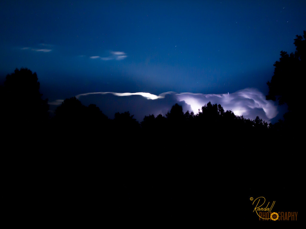
Night Lightning Storm
longexposure blue light red summer sky usa moon reflection cars beautiful car night clouds pen dark stars photography us amazing nice md pretty view bright outdoor maryland olympus trail queenstown lighttrails unitedstate epl1 mirrorlesscamera
Light Trail Under the Moon
park longexposure blue trees light summer sky usa moon tree nature beautiful night clouds pen dark stars photography us amazing nice md pretty view bright low maryland olympus ridgely unitedstate tuckahoestatepark adkinsarboretum epl1
The Bright Moon
park longexposure trees summer usa lightpainting tree green nature beautiful night pen dark photography us amazing nice md pretty view unitedstates maryland olympus flashlight ridgely unitedstate tuckahoestatepark adkinsarboretum epl1
Light Painting in the Park - Trees
bird tyrannusdominicensis
Gray Kingbird in Maryland
bloomfieldfarm chesapeakebayprogram dc districtofcolumbia easternshore easternshorelandconservancy maryland nonprofits queenannescounty recreation transportation washington aerial conservation conservationeasement environment publicaccess unitedstates camera:model=canoneos5dmarkiv exif:lens=ef70200mmf28lusm camera:make=canon geocity geostate exif:focallength=160mm exif:aperture=ƒ56 exif:isospeed=200 geo:country=unitedstates exif:model=canoneos5dmarkiv exif:make=canon
Bloomfield Farm in Queen Anne's County, Md.
bloomfieldfarm chesapeakebayprogram dc districtofcolumbia easternshore easternshorelandconservancy maryland nonprofits queenannescounty recreation transportation washington aerial conservation conservationeasement environment publicaccess unitedstates exif:isospeed=400 exif:aperture=ƒ80 exif:model=canoneos5dmarkiv exif:focallength=54mm geocity geostate exif:lens=ef2470mmf28lusm geo:country=unitedstates camera:model=canoneos5dmarkiv camera:make=canon exif:make=canon
Bloomfield Farm in Queen Anne's County, Md.
bloomfieldfarm chesapeakebayprogram dc districtofcolumbia easternshore easternshorelandconservancy maryland nonprofits queenannescounty recreation transportation washington aerial conservation conservationeasement environment publicaccess unitedstates exif:aperture=ƒ80 exif:model=canoneos5dmarkiv camera:make=canon geocity geostate exif:focallength=70mm exif:lens=ef2470mmf28lusm geo:country=unitedstates exif:isospeed=200 camera:model=canoneos5dmarkiv exif:make=canon
Bloomfield Farm in Queen Anne's County, Md.
bloomfieldfarm chesapeakebayprogram dc districtofcolumbia easternshore easternshorelandconservancy maryland nonprofits queenannescounty recreation transportation washington aerial conservation conservationeasement environment publicaccess unitedstates exif:isospeed=400 exif:aperture=ƒ80 exif:model=canoneos5dmarkiv camera:make=canon geocity geostate exif:focallength=70mm exif:lens=ef2470mmf28lusm geo:country=unitedstates camera:model=canoneos5dmarkiv exif:make=canon
Bloomfield Farm in Queen Anne's County, Md.
bloomfieldfarm chesapeakebayprogram dc districtofcolumbia easternshore easternshorelandconservancy maryland nonprofits queenannescounty recreation transportation washington aerial conservation conservationeasement environment publicaccess unitedstates camera:model=canoneos5dmarkiv exif:lens=ef70200mmf28lusm camera:make=canon geocity geostate exif:aperture=ƒ56 exif:isospeed=200 geo:country=unitedstates exif:model=canoneos5dmarkiv exif:focallength=200mm exif:make=canon
Bloomfield Farm in Queen Anne's County, Md.
lake nature water photoshop outside outdoors effects stereoscopic 3d crosseye log md brian maryland manipulation ps falls stereo wallace stereopair spill fx sidebyside sfx outofbounds stereoscopy oof oob stereographic debri freeview crossview outofframe wyemills brianwallace xview stereoimage outofborder xeye stereopicture
Wye Mills Lake Spill
bloomfieldfarm chesapeakebayprogram dc districtofcolumbia easternshore easternshorelandconservancy maryland nonprofits queenannescounty recreation transportation washington aerial conservation conservationeasement environment publicaccess unitedstates exif:isospeed=400 exif:aperture=ƒ80 exif:model=canoneos5dmarkiv camera:make=canon geocity geostate exif:lens=ef2470mmf28lusm geo:country=unitedstates exif:focallength=55mm camera:model=canoneos5dmarkiv exif:make=canon
Bloomfield Farm in Queen Anne's County, Md.
blackandwhite bw lake nature water photoshop outside outdoors effects stereoscopic 3d log md brian maryland manipulation anaglyph monotone ps falls stereo wallace grayscale spill fx sfx outofbounds stereoscopy oof oob stereographic debri outofframe wyemills brianwallace stereoimage outofborder stereopicture
Wye Mills Lake Spill
love cemetery grave geotagged catholic tombstone maryland cordova talbot loyalty delmarva twtmesh140825
Budded on Earth to Bloom in Heaven
blackandwhite bw lake nature water photoshop outside outdoors effects stereoscopic 3d crosseye log md brian maryland manipulation monotone ps falls stereo wallace stereopair grayscale spill fx sidebyside sfx outofbounds stereoscopy oof oob stereographic debri freeview crossview outofframe wyemills brianwallace xview stereoimage outofborder xeye stereopicture
Wye Mills Lake Spill
neck landscape md wildlife maryland aerial national eastern usfws refuge nationalwildliferefuge easternnecknationalwildliferefuge
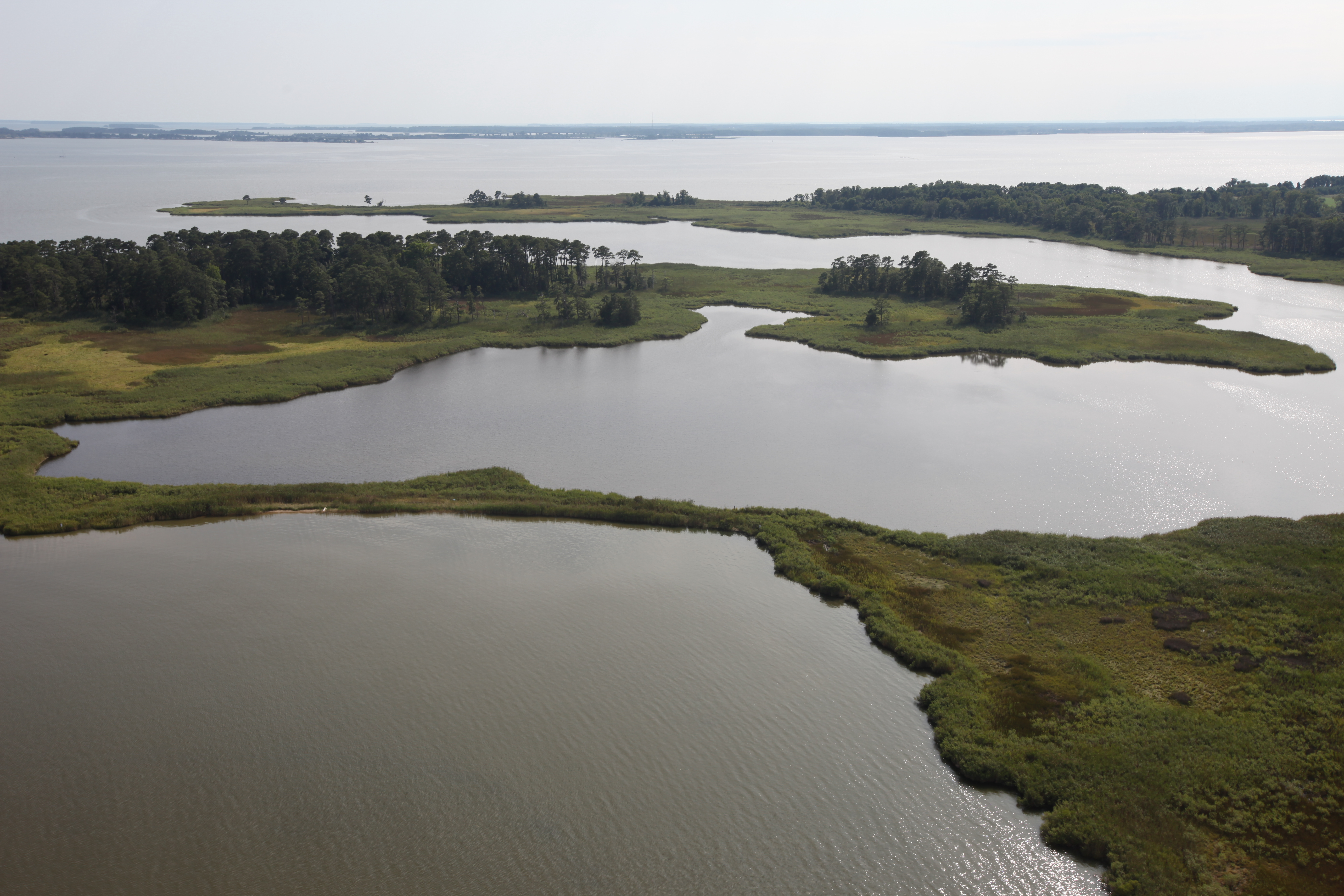
Aerial view of Hale Cove
church geotagged catholic maryland historic cordova talbot jesuit delmarva
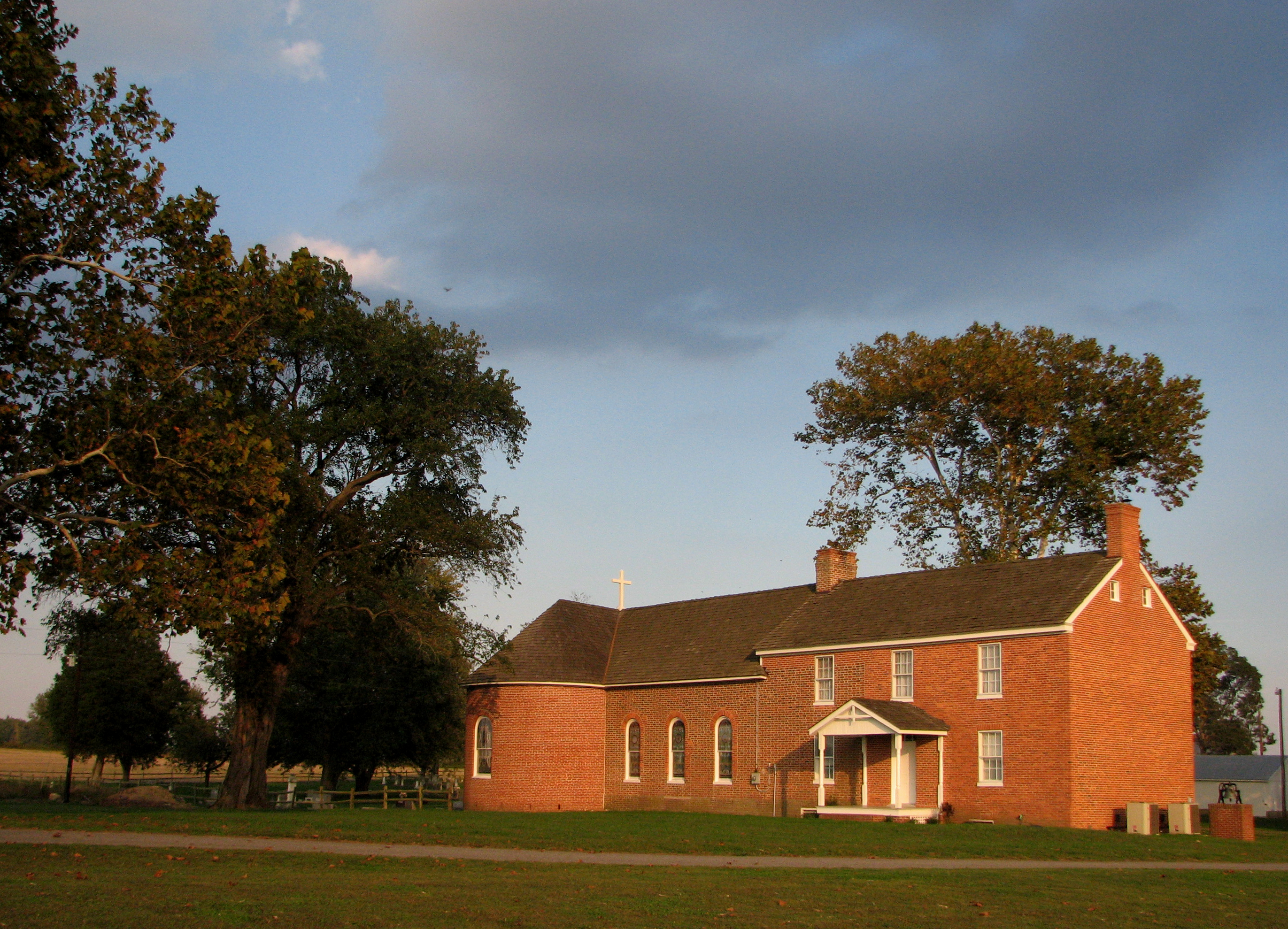
St. Joseph's near Cordova, Maryland, 1765
usfws fishandwildlifeservice usfishandwildlifeservice northeastregion restoration hurricanesandy hurricanesandyresilience hurricanesandyresilienceproject centrevilledam centrevilledamremoval corsicariver marylanddamremoval hurricanesandyfws hurricanesandyproject89 aquaticconnectivity
Centreville Dam rock ramp, downstream view
blue usa green nature field clouds landscape us wheat maryland bluesky greenfield blueskyandclouds greenwheat centervillemd
The Green Wheat Field
park monochrome bench md unitedstates path dream maryland randall ridgely adkinsarboretum ridgelymaryland randallphotography
I'm Dreaming
blue sunset summer usa lake water beautiful beauty clouds pen landscape us amazing nice md pretty day bright outdoor maryland sunny olympus queenstown waterscape wyeisland unitedstate epl1 microfourthirds mirrorlesscamera
The Sunset At Wye
green hiking path maryland easternshore tuckahoestatepark
Serenity in Green
beach aerial restoration usfws usfishandwildlifeservice northeastregion fishandwildlifeservice hurricanesandy hurricanesandyrecovery hurricanesandyrecoveryproject strongaftersandy hurricanesandyfws hurricanesandyproject57
Hail Cove, Maryland
chesapeakebayprogram maryland queenannescounty climatechange environment livingshoreline restoration sealevelrise unitedstates camera:model=canoneos5dmarkiv exif:lens=ef70200mmf28lusm camera:make=canon geocity geostate exif:aperture=ƒ56 exif:isospeed=200 geo:country=unitedstates exif:model=canoneos5dmarkiv exif:focallength=200mm exif:make=canon
20170720-IMG_2337
chesapeakebayprogram maryland queenannescounty climatechange environment livingshoreline restoration sealevelrise unitedstates camera:model=canoneos5dmarkiv exif:lens=ef70200mmf28lusm camera:make=canon geocity geostate exif:aperture=ƒ56 exif:isospeed=200 geo:country=unitedstates exif:model=canoneos5dmarkiv exif:focallength=200mm exif:make=canon
20170720-IMG_2283
chesapeakebayprogram maryland queenannescounty climatechange environment livingshoreline restoration sealevelrise unitedstates camera:model=canoneos5dmarkiv exif:lens=ef70200mmf28lusm camera:make=canon geocity geostate exif:focallength=70mm exif:aperture=ƒ56 exif:isospeed=200 geo:country=unitedstates exif:model=canoneos5dmarkiv exif:make=canon
20170720-IMG_2266
chesapeakebayprogram maryland queenannescounty climatechange environment livingshoreline restoration sealevelrise unitedstates camera:model=canoneos5dmarkiv exif:lens=ef70200mmf28lusm camera:make=canon geocity exif:focallength=75mm exif:aperture=ƒ56 exif:isospeed=200 geo:country=unitedstates geostate exif:model=canoneos5dmarkiv exif:make=canon
20170720-IMG_2322
chesapeakebayprogram maryland queenannescounty climatechange environment livingshoreline restoration sealevelrise unitedstates camera:model=canoneos5dmarkiv exif:lens=ef70200mmf28lusm camera:make=canon geocity geostate exif:aperture=ƒ56 exif:isospeed=200 geo:country=unitedstates exif:model=canoneos5dmarkiv exif:focallength=200mm exif:make=canon
20170720-IMG_2257
chesapeakebayprogram maryland queenannescounty climatechange environment livingshoreline restoration sealevelrise unitedstates camera:model=canoneos5dmarkiv exif:lens=ef70200mmf28lusm camera:make=canon geocity geostate exif:focallength=70mm exif:aperture=ƒ56 exif:isospeed=200 geo:country=unitedstates exif:model=canoneos5dmarkiv exif:make=canon
20170720-IMG_2306
chesapeakebayprogram maryland queenannescounty climatechange environment livingshoreline restoration sealevelrise unitedstates camera:model=canoneos5dmarkiv exif:lens=ef70200mmf28lusm camera:make=canon geocity geostate exif:aperture=ƒ56 exif:isospeed=200 geo:country=unitedstates exif:model=canoneos5dmarkiv exif:focallength=200mm exif:make=canon
20170720-IMG_2315