Elevation of Carville Price Rd, Centreville, MD, USA

Location: United States > Maryland > Queen Anne's County > 6, Ruthsburg >

Longitude: -76.005486

Latitude: 39.048048

Elevation: 21m / 69feet

Barometric Pressure: 101KPa
Elevation Map:

elevation map of Carville Price Rd, Centreville, MD, USA

Satellite Map:

Satellite map of Carville Price Rd, Centreville, MD, USA

Related Photos:

longexposure blue light red summer sky usa moon reflection cars beautiful car night clouds pen dark stars photography us amazing nice md pretty view bright outdoor maryland olympus trail queenstown lighttrails unitedstate epl1 mirrorlesscamera
Light Trail Under the Moon
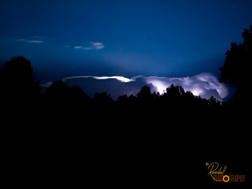
park longexposure blue trees light summer sky usa cloud storm tree nature beautiful beauty look night clouds pen dark stars landscape photography us amazing nice md pretty view unitedstates bright outdoor low maryland olympus thunderstorm lightning ridgely unitedstate tuckahoestatepark adkinsarboretum epl1 microfourthirds mirrorlesscamera
Night Lightning Storm
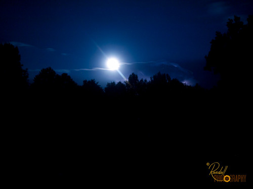
park longexposure blue trees light summer sky usa moon tree nature beautiful night clouds pen dark stars photography us amazing nice md pretty view bright low maryland olympus ridgely unitedstate tuckahoestatepark adkinsarboretum epl1
The Bright Moon
activities bloomfieldfarm chesapeakebayprogram easternshore easternshorelandconservancy geography md maryland queenannescounty states things transportation aerial conservation conservationeasement environment partnership publicaccess recreation restoration science unitedstates camera:model=canoneos5dmarkiv exif:lens=ef70200mmf28lusm camera:make=canon geocity geostate exif:focallength=160mm exif:aperture=ƒ56 exif:isospeed=200 geo:country=unitedstates exif:model=canoneos5dmarkiv exif:make=canon
Bloomfield Farm in Queen Anne's County, Md.
activities bloomfieldfarm chesapeakebayprogram easternshore easternshorelandconservancy geography md maryland queenannescounty states things transportation aerial conservation conservationeasement environment partnership publicaccess recreation restoration science unitedstates exif:isospeed=400 exif:aperture=ƒ80 exif:model=canoneos5dmarkiv camera:make=canon geocity geostate exif:focallength=70mm exif:lens=ef2470mmf28lusm geo:country=unitedstates camera:model=canoneos5dmarkiv exif:make=canon
Bloomfield Farm in Queen Anne's County, Md.
activities bloomfieldfarm chesapeakebayprogram easternshore easternshorelandconservancy geography md maryland queenannescounty states things transportation aerial conservation conservationeasement environment partnership publicaccess recreation restoration science unitedstates exif:isospeed=400 exif:aperture=ƒ80 exif:model=canoneos5dmarkiv camera:make=canon geocity geostate exif:lens=ef2470mmf28lusm geo:country=unitedstates exif:focallength=55mm camera:model=canoneos5dmarkiv exif:make=canon
Bloomfield Farm in Queen Anne's County, Md.
activities bloomfieldfarm chesapeakebayprogram easternshore easternshorelandconservancy geography md maryland queenannescounty states things transportation aerial conservation conservationeasement environment partnership publicaccess recreation restoration science unitedstates exif:isospeed=400 exif:aperture=ƒ80 exif:model=canoneos5dmarkiv exif:focallength=54mm geocity geostate exif:lens=ef2470mmf28lusm geo:country=unitedstates camera:model=canoneos5dmarkiv camera:make=canon exif:make=canon
Bloomfield Farm in Queen Anne's County, Md.
activities bloomfieldfarm chesapeakebayprogram easternshore easternshorelandconservancy geography md maryland queenannescounty states things transportation aerial conservation conservationeasement environment partnership publicaccess recreation restoration science unitedstates exif:isospeed=400 exif:aperture=ƒ80 exif:model=canoneos5dmarkiv camera:make=canon geocity geostate exif:focallength=70mm exif:lens=ef2470mmf28lusm geo:country=unitedstates camera:model=canoneos5dmarkiv exif:make=canon
Bloomfield Farm in Queen Anne's County, Md.
activities bloomfieldfarm chesapeakebayprogram easternshore easternshorelandconservancy geography md maryland queenannescounty states things transportation aerial conservation conservationeasement environment partnership publicaccess recreation restoration science unitedstates exif:aperture=ƒ80 exif:model=canoneos5dmarkiv camera:make=canon geocity geostate exif:focallength=70mm exif:lens=ef2470mmf28lusm geo:country=unitedstates exif:isospeed=200 camera:model=canoneos5dmarkiv exif:make=canon
Bloomfield Farm in Queen Anne's County, Md.
activities bloomfieldfarm chesapeakebayprogram easternshore easternshorelandconservancy geography md maryland queenannescounty states things transportation aerial conservation conservationeasement environment partnership publicaccess recreation restoration science unitedstates exif:isospeed=400 exif:aperture=ƒ80 exif:model=canoneos5dmarkiv camera:make=canon geocity geostate exif:focallength=70mm exif:lens=ef2470mmf28lusm geo:country=unitedstates camera:model=canoneos5dmarkiv exif:make=canon
Bloomfield Farm in Queen Anne's County, Md.
uploadedwithflync
View out of the Dick and Jane Room, 3rd floor of the River Inn
longexposure blue light red summer sky usa cars beautiful car night pen dark photography us amazing nice md pretty view unitedstates floor bright pov low maryland ground olympus pointofview trail lighttrails ridgely unitedstate epl1
Light Trails From Ground View
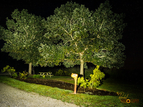
park longexposure trees summer usa lightpainting tree green nature beautiful night pen dark photography us amazing nice md pretty view unitedstates maryland olympus flashlight ridgely unitedstate tuckahoestatepark adkinsarboretum epl1
Light Painting in the Park - Trees
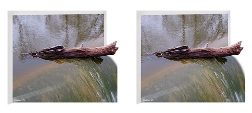
lake nature water photoshop outside outdoors effects stereoscopic 3d crosseye log md brian maryland manipulation ps falls stereo wallace stereopair spill fx sidebyside sfx outofbounds stereoscopy oof oob stereographic debri freeview crossview outofframe wyemills brianwallace xview stereoimage outofborder xeye stereopicture
Wye Mills Lake Spill
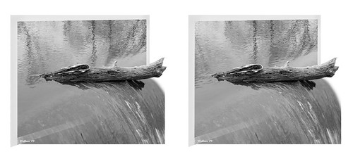
blackandwhite bw lake nature water photoshop outside outdoors effects stereoscopic 3d crosseye log md brian maryland manipulation monotone ps falls stereo wallace stereopair grayscale spill fx sidebyside sfx outofbounds stereoscopy oof oob stereographic debri freeview crossview outofframe wyemills brianwallace xview stereoimage outofborder xeye stereopicture
Wye Mills Lake Spill
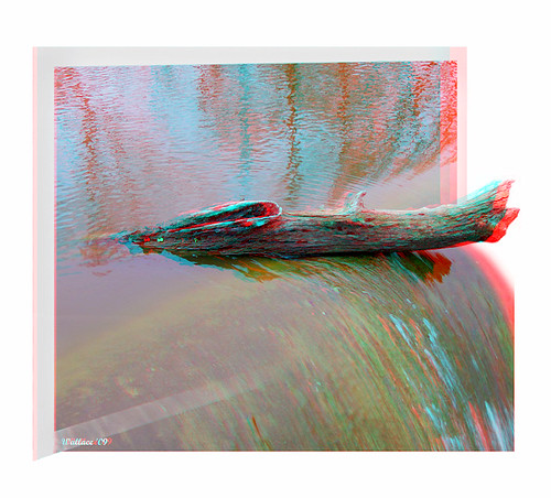
lake nature water photoshop outside outdoors effects stereoscopic 3d log md brian maryland manipulation anaglyph ps falls stereo wallace spill fx sfx outofbounds stereoscopy oof oob stereographic debri outofframe wyemills brianwallace stereoimage outofborder stereopicture
Wye Mills Lake Spill
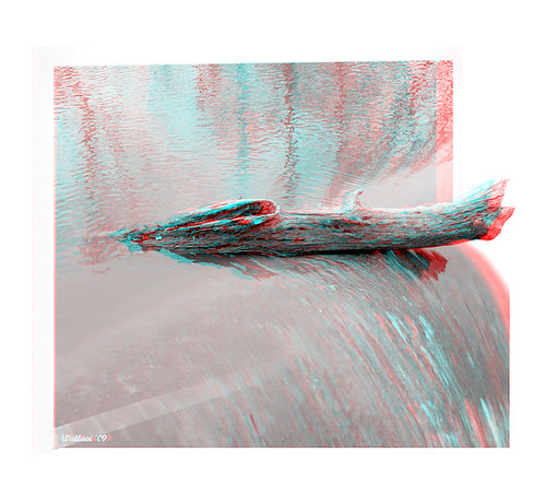
blackandwhite bw lake nature water photoshop outside outdoors effects stereoscopic 3d log md brian maryland manipulation anaglyph monotone ps falls stereo wallace grayscale spill fx sfx outofbounds stereoscopy oof oob stereographic debri outofframe wyemills brianwallace stereoimage outofborder stereopicture
Wye Mills Lake Spill
church geotagged catholic maryland historic cordova talbot jesuit delmarva
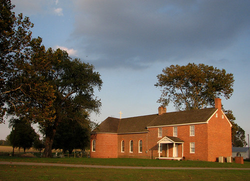
St. Joseph's near Cordova, Maryland, 1765
View from Pier
digital creek canon rebel stitch farm maryland shipping chestertown xti shippingcreekfarm
Shipping Creek Farm
md ruff queenannescounty 20121127
2012-11-27 Ruff 3451
chesapeakebayprogram things transportation aerial conservation environment partnership restoration science unitedstates camera:model=canoneos5dmarkii camera:make=canon geocity geostate exif:model=canoneos5dmarkii exif:aperture=ƒ56 exif:lens=ef24105mmf4lisusm geo:country=unitedstates exif:isospeed=800 exif:focallength=47mm exif:make=canon
Chesapeake Bay watershed from the air
chesapeakebayprogram things transportation aerial conservation environment partnership restoration science unitedstates exif:focallength=105mm camera:model=canoneos5dmarkii camera:make=canon geocity exif:aperture=ƒ45 exif:model=canoneos5dmarkii exif:isospeed=800 exif:lens=ef24105mmf4lisusm geo:country=unitedstates geostate exif:make=canon
Riparian forest buffer in Queen Anne's County, Md.
chesapeakebayprogram geography md maryland queenannescounty states climatechange conservation environment livingshoreline partnership restoration science sealevelrise unitedstates camera:model=canoneos5dmarkiv exif:lens=ef70200mmf28lusm camera:make=canon geocity geostate exif:aperture=ƒ56 exif:isospeed=200 geo:country=unitedstates exif:model=canoneos5dmarkiv exif:focallength=200mm exif:make=canon
20170720-IMG_2337
chesapeakebayprogram geography md maryland queenannescounty states climatechange conservation environment livingshoreline partnership restoration science sealevelrise unitedstates camera:model=canoneos5dmarkiv exif:lens=ef70200mmf28lusm camera:make=canon geocity geostate exif:focallength=70mm exif:aperture=ƒ56 exif:isospeed=200 geo:country=unitedstates exif:model=canoneos5dmarkiv exif:make=canon
20170720-IMG_2306
uploaded:by=flickrmobile flickriosapp:filter=nofilter
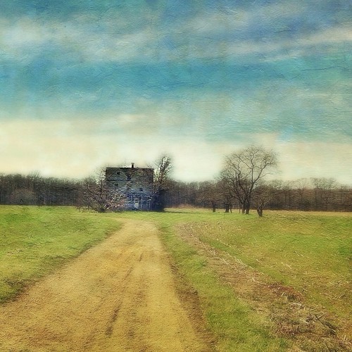
A Story Untold
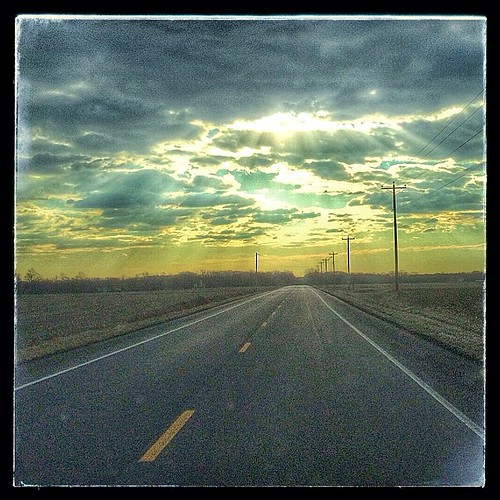
square squareformat hefe iphoneography instagramapp uploaded:by=instagram foursquare:venue=4dfdf2ff45ddebdfeaaf8889
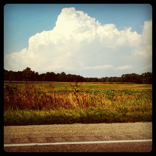
Rt. 50
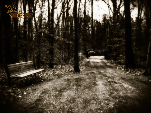
park monochrome bench md unitedstates path dream maryland randall ridgely adkinsarboretum ridgelymaryland randallphotography
I'm Dreaming
chesapeakebayprogram things transportation aerial conservation environment partnership restoration science unitedstates exif:focallength=50mm camera:model=canoneos5dmarkii camera:make=canon geocity geostate exif:model=canoneos5dmarkii exif:aperture=ƒ50 exif:lens=ef24105mmf4lisusm geo:country=unitedstates exif:isospeed=800 exif:make=canon
Chesapeake Bay watershed from the air
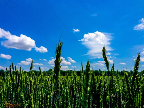
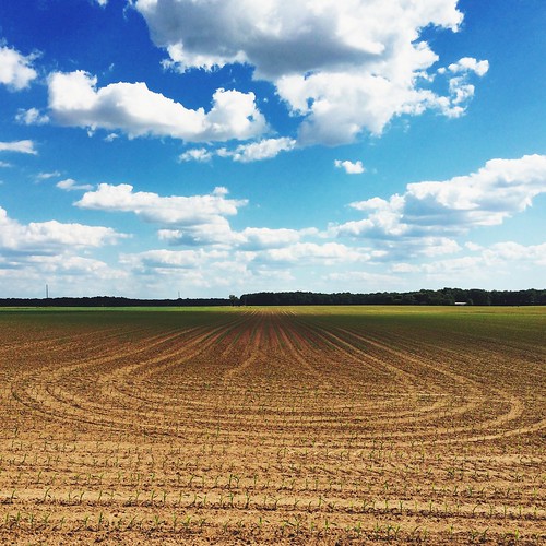
blue usa green nature field clouds landscape us wheat maryland bluesky greenfield blueskyandclouds greenwheat centervillemd
Green Wheat Stand Up
mobileupload
IMG_0361.JPG
chesapeakebayprogram things transportation aerial conservation environment partnership restoration science unitedstates camera:model=canoneos5dmarkii camera:make=canon geocity geostate exif:model=canoneos5dmarkii exif:aperture=ƒ50 exif:lens=ef24105mmf4lisusm geo:country=unitedstates exif:isospeed=800 exif:focallength=60mm exif:make=canon
Route 301 near Queenstown, Md.
square squareformat iphoneography instagramapp uploaded:by=instagram foursquare:venue=4ec07a5e93ad36d7a9627ba7
Image created with #Snapseed
mobileupload
IMG_0362.JPG
A few times a year we head out across the Bay to the Eastern Shore of Maryland. As someone who thrives in an urban environment, the trip is an interesting mix of peaceful beauty and anxiety-producing nothingness. I present this image as an example.
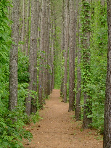
green hiking path maryland easternshore tuckahoestatepark
Serenity in Green
chesapeakebayprogram conservation environment partnership restoration science unitedstates exif:aperture=ƒ14 camera:model=canoneos5dmarkiv exif:lens=ef70200mmf28lusm camera:make=canon geocity geostate exif:focallength=70mm geo:country=unitedstates exif:isospeed=400 exif:model=canoneos5dmarkiv exif:make=canon
Eastern Neck National Wildlife Refuge
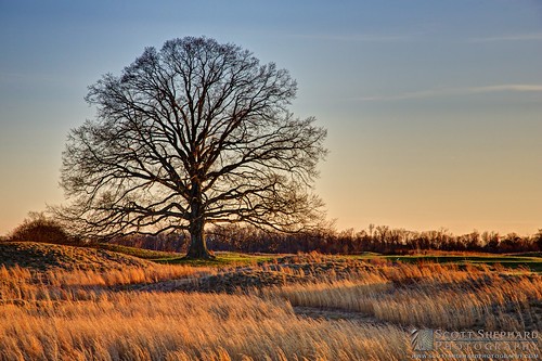
sunset tree scott photography spring maryland shephard
2014 04-01 The Golden Hour by Watertown, South Dakota, photographer Scott Shepahrd
unitedstates maryland greensboro hotairballoon hotairballoonride 13460riverroad
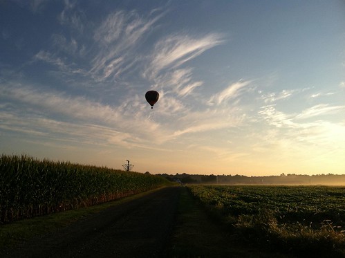
Balloon-52